Holymoorside And Walton
Holymoorside And Walton
The best road cycling routes around Holymoorside And Walton
4.5
(128)
6,986
riders
11
rides
Road cycling routes around Holymoorside And Walton are set within a civil parish in North East Derbyshire, characterized by farming and pasture land, woodlands, and the River Hipper Valley. The area offers varied terrain, from rolling countryside roads to routes with significant elevation gains, catering to different fitness levels. Its proximity to the Peak District National Park provides a gateway to more challenging landscapes.
Best road cycling routes around Holymoorside And Walton
- The most popular road cycling route is Heathy…
Last updated: May 19, 2026
28
riders
32.0km
01:41
550m
550m
Moderate road ride. Good fitness required. Mostly well-paved surfaces and easy to ride.
28
riders
47.6km
02:41
740m
740m
Moderate road ride. Good fitness required. Some segments of this route may be unpaved and difficult to ride.

Sign up for free
16
riders
19.6km
01:00
240m
240m
Easy road ride. Great for any fitness level. Mostly well-paved surfaces and easy to ride.
7
riders
18.3km
00:52
170m
170m
Easy road ride. Great for any fitness level. Mostly well-paved surfaces and easy to ride.
6
riders
Easy road ride. Great for any fitness level. Mostly well-paved surfaces and easy to ride.
Get access to more routes and recommendations from other explorers.
Sign up for free
Already have an account?
Our route recommendations are based on thousands of hikes, rides, and runs completed by other people on komoot.
Start today with a free account
Your next adventure awaits.
Login or Signup
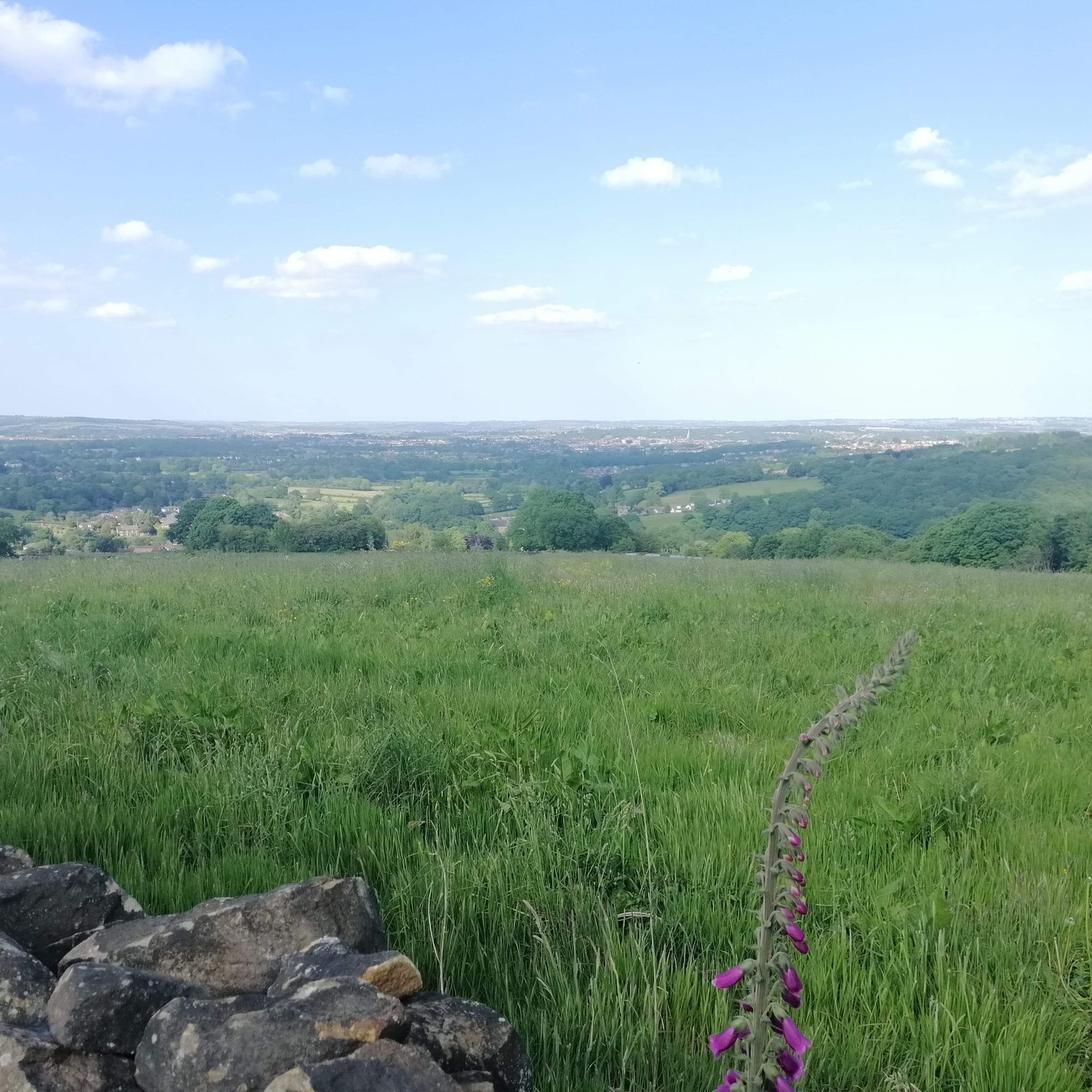
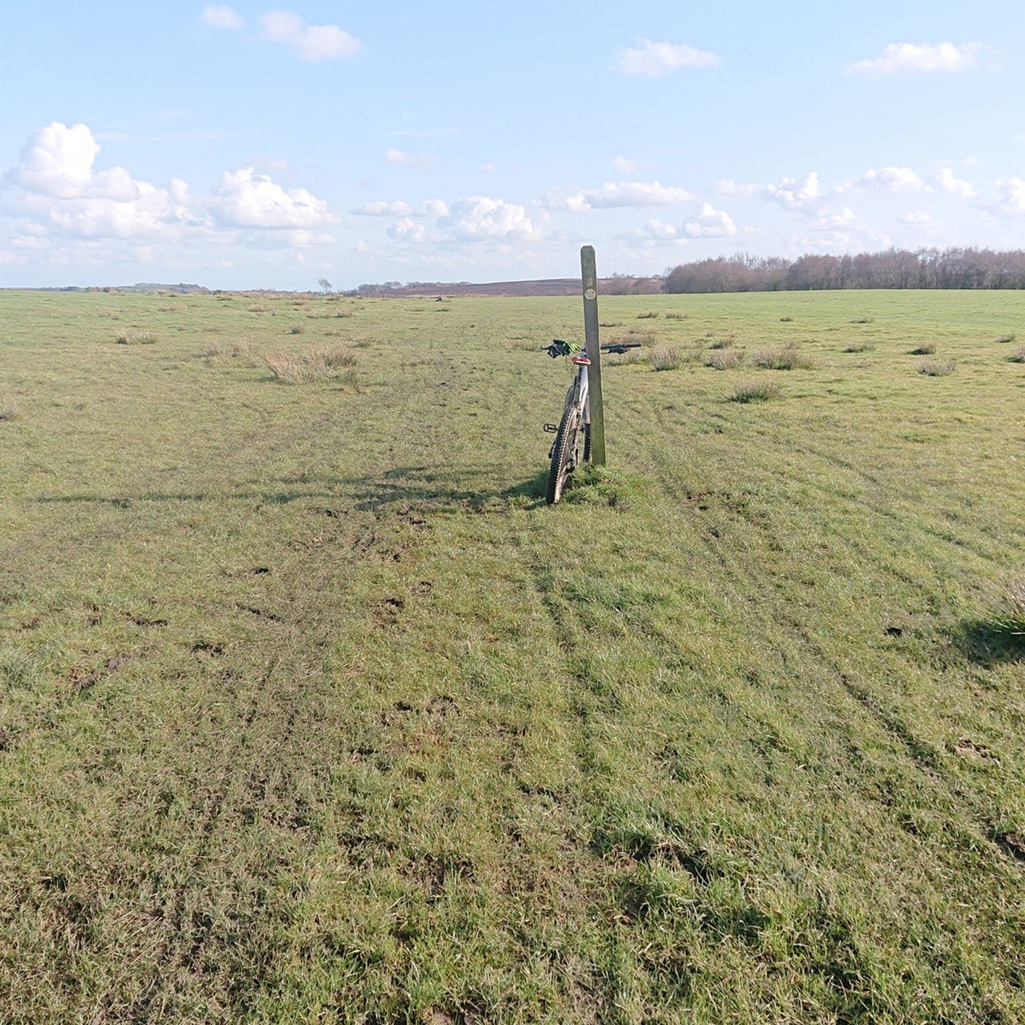
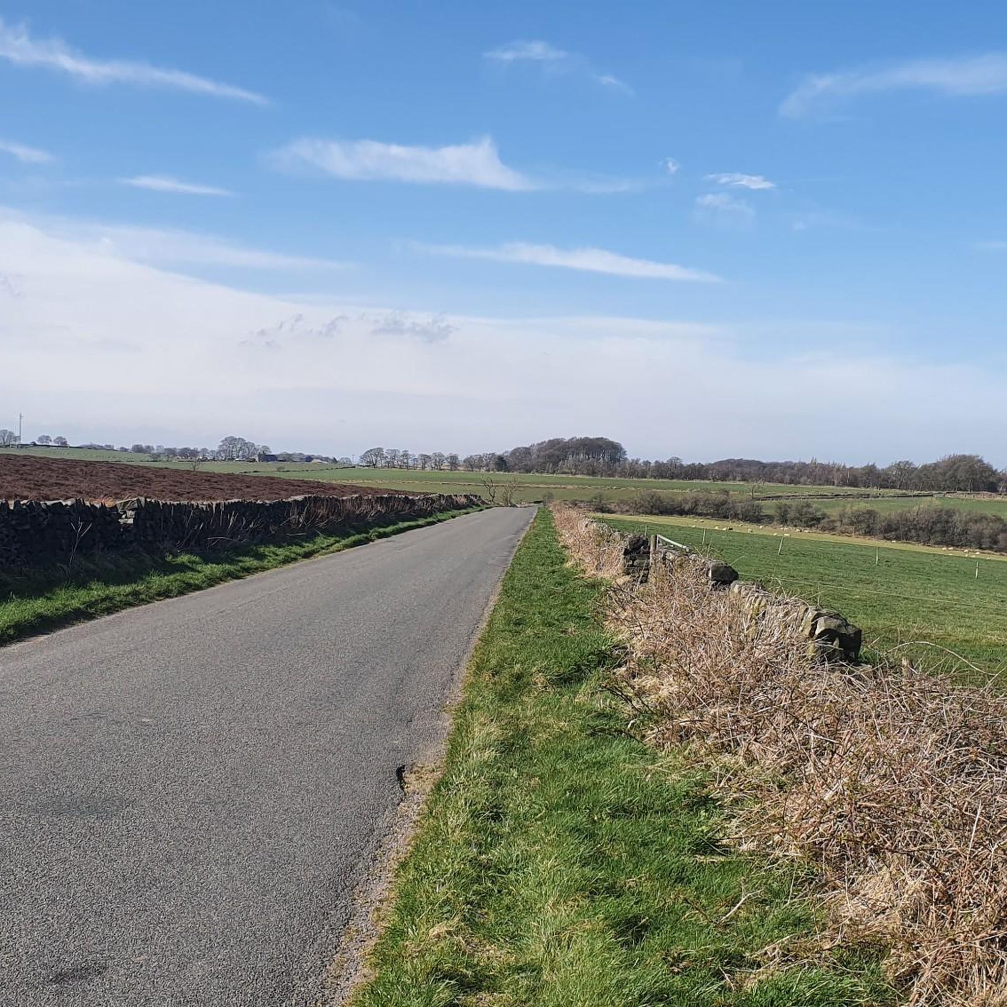
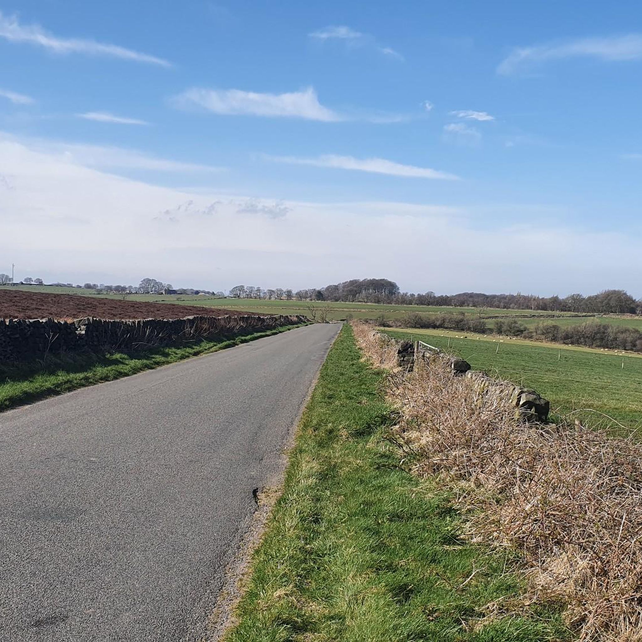
Tips from the Community

Good place to stop have a breather and a drink before carrying on along the cycle path
0
0

Greart Climb from Beeley. Road is closed to traffic due to a landslip but you can ride up on a bike after negotiating the barriers.
0
0


Lovely quiet route; surface sketchy in parts but that doesn’t matter when you’re climbing!
0
0

Busy place yet still manages to have a relaxed atmosphere in the sunshine
0
0

A lovely "flat" compared to the surrounding peaks!
0
0
Frequently Asked Questions
How many road cycling routes are available in Holymoorside And Walton?
There are 11 dedicated road cycling routes around Holymoorside And Walton, offering a mix of easy and moderate options for various fitness levels.
What kind of terrain can I expect on road cycling routes in Holymoorside And Walton?
The region features a blend of rural charm with farming and pasture land, dense woodlands, and the River Hipper Valley. You'll find routes with rolling countryside roads and others with significant elevation gains. While many surfaces are well-paved, some routes, like the Beeley Moor Summit – Harewood Climb loop, may include unpaved sections.
Are there any easy road cycling routes suitable for beginners or casual rides?
Yes, Holymoorside And Walton offers several easy routes. The Beeley Moor Summit – Rolling Hills Countryside Road loop is a 19.6 km option with 240m elevation, and the Northern Tea Merchants loop is an accessible 15.8 km route with mostly well-paved surfaces, ideal for any fitness level.
What are the more challenging road cycling routes in the area?
For a more challenging ride, consider the Beeley Moor Summit – Harewood Climb loop. This 47.6 km route features 740m of elevation gain and may include unpaved sections, requiring good fitness. The Heathy Lea Brook Bridge – Cock Hill loop is another moderate option with a notable 550m elevation gain over 32.0 km.
What natural features or landmarks can I see along the road cycling routes?
The routes often pass through scenic woodlands, such as those south and east of Holymoorside village and Walton Wood. The area is also adjacent to the Peak District National Park, offering access to stunning landscapes. Notable nearby attractions include the historic Nine Ladies Stone Circle and dramatic gritstone edges like Curbar Edge and Froggatt Edge.
Are there any circular road cycling routes available?
Yes, many of the routes in Holymoorside And Walton are designed as loops. Examples include the Heathy Lea Brook Bridge – Cock Hill loop, the Beeley Moor Summit – Harewood Climb loop, and the Threenook Plantation loop, providing convenient starting and ending points.
What do other road cyclists enjoy most about cycling in Holymoorside And Walton?
The road cycling routes in Holymoorside And Walton are highly rated by the komoot community, with an average score of 4.6 stars from over 100 reviews. Cyclists often praise the varied terrain, from easy countryside roads to challenging climbs, and the picturesque natural environment, including woodlands and proximity to the Peak District.
Are there any lakes or reservoirs near the cycling routes?
Yes, the area features several scenic water bodies. You can find highlights like the Southeast corner of Linacre Middle Reservoir, Mill Pond, and Ogston Reservoir, which offer picturesque views and can be incorporated into longer rides or visited separately.
Are there any amenities like cafes or pubs along the routes?
Within Holymoorside village, you'll find local amenities including two public houses, which can serve as convenient stops for refreshments during your ride. The predominantly rural character of the routes means that dedicated cycling cafes might be found in nearby larger towns or villages.
Is Holymoorside And Walton a good base for exploring the Peak District National Park by road bike?
Absolutely. Situated adjacent to the Peak District National Park to the west, Holymoorside And Walton serves as an excellent gateway. This proximity offers additional opportunities for more strenuous rides and exploration of the national park's diverse natural features and challenging terrain.
What is the best time of year for road cycling in Holymoorside And Walton?
The region's varied terrain and natural beauty can be enjoyed throughout much of the year. Spring and autumn offer pleasant temperatures and vibrant scenery. While many routes are well-paved, some unpaved sections might be more challenging in wet or winter conditions, so checking local weather and route conditions is always advisable.
Are there any specific points of interest or historical sites to look out for?
Beyond the natural beauty, you can explore historical sites such as the Nine Ladies Stone Circle. Additionally, the Monsal Trail Stone Arch Bridge is a notable man-made feature that cyclists might encounter or visit nearby.
Most popular routes around Holymoorside And Walton
Most popular attractions around Holymoorside And Walton

Get inspired with the komoot mobile app


Explore more
Browse the best Road cycling routes in other regions.
