The best road cycling routes around Mullaghmore
4.8
(36)
790
riders
59
rides
Road cycling routes around Mullaghmore offer a blend of coastal scenery and varied terrain along County Sligo's northern edge. The region features well-paved roads that traverse dramatic coastlines and provide views of iconic mountains. Cyclists can expect routes with varying elevation gains, from gentle loops to more challenging climbs. The area's position along the Wild Atlantic Way provides a distinct backdrop for road cycling.
Best road cycling routes around Mullaghmore
- The most popular road cycling route is The Yard Café…
Last updated: August 7, 2026
32
riders
35.0km
01:35
390m
390m
Moderate road ride. Good fitness required. Mostly well-paved surfaces and easy to ride.
18
riders
52.6km
02:30
680m
690m
Moderate road ride. Good fitness required. Mostly well-paved surfaces and easy to ride.

Sign up for free
20
riders
26.3km
01:15
330m
330m
Moderate road ride. Good fitness required. Mostly well-paved surfaces and easy to ride.
17
riders
28.8km
01:16
290m
290m
Easy road ride. Great for any fitness level. Mostly well-paved surfaces and easy to ride.
5.0
(1)
18
riders
37.7km
01:50
560m
560m
Moderate road ride. Good fitness required. Mostly well-paved surfaces and easy to ride.
Get access to more routes and recommendations from other explorers.
Sign up for free
Already have an account?
Our route recommendations are based on thousands of hikes, rides, and runs completed by other people on komoot.
Start today with a free account
Your next adventure awaits.
Login or Signup
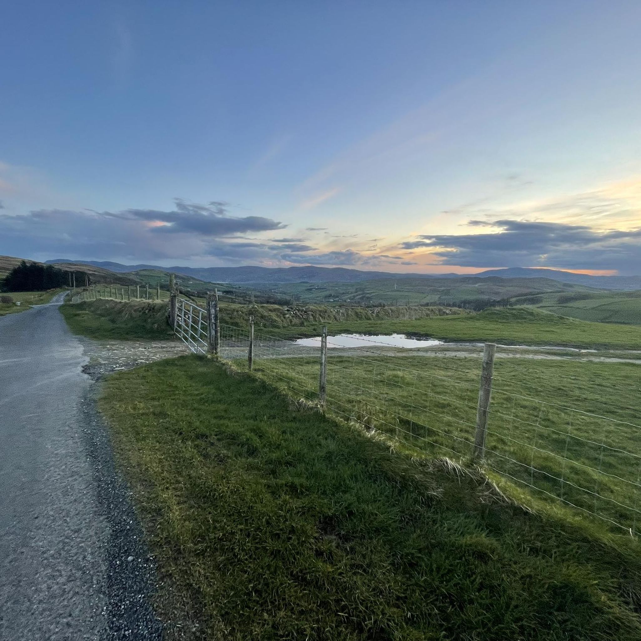

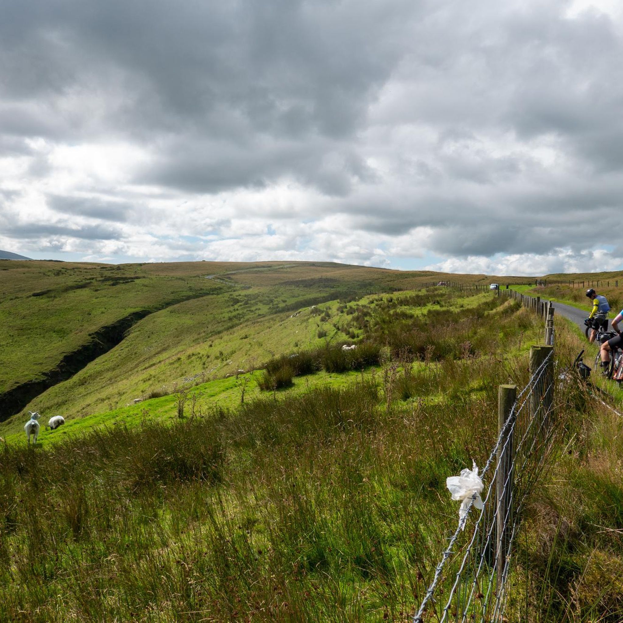
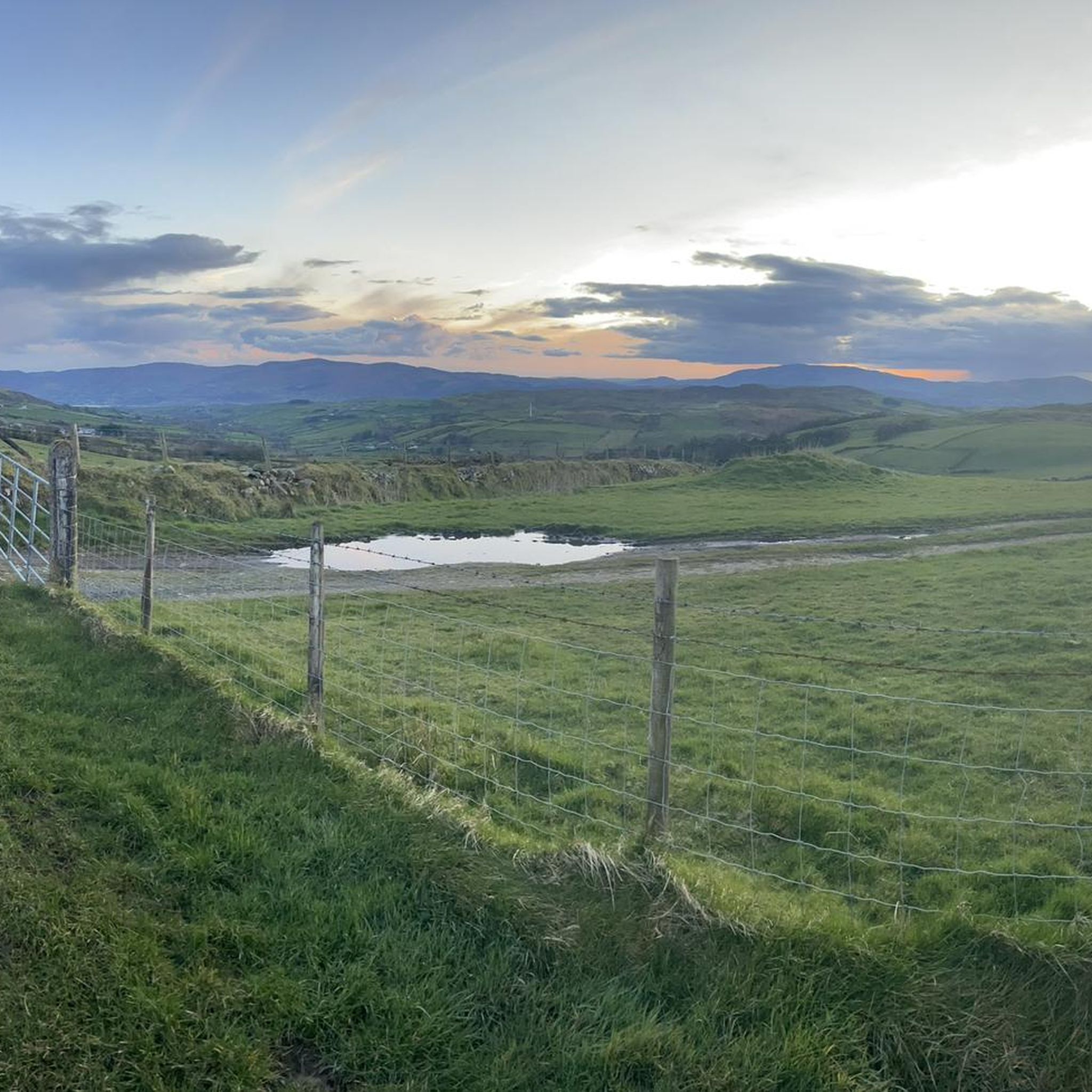

Tips from the Community

A great little cafe set in the bike shop, with great coffee and a nice variety of sweet goodies.
0
0

The gently ascending road winds through a wide, open landscape, surrounded by grassy hills and breathtaking silence. Only the wind and the quiet hum of the tires accompany you here as your gaze wanders into the distance. The climb may be challenging, but the view that opens up with every meter of altitude is worth the effort. Once at the top, you feel free and rewarded, as if you have conquered a piece of nature and then the reward comes with the descent.
0
0
The route winds gently uphill, offering small clearings through which you can catch a glimpse of the valley and the sparkling water in the distance. The air here is wonderfully fresh and filled with the surrounding forests. During the climb you can feel the peace of the forest, accompanied only by the hum of the tires on the asphalt and the chirping of the birds. Once you reach the top, you are rewarded with a magnificent panorama.
0
0

Lietrim Lodge car park is a popular starting point for many hikes and runs in the area.
0
0

The crannóg is a man made island dating from around the Late Bronze Age period (from approx. 2000 to 500 BC). The Island was inhabited by the Magennis family in the 17th century, who had vacated a castle that is thought to have stood on the lake shore. It was also used as a hiding place for the Irish Rebellion around 1642.
1
0
This steady easy going climb offers stunning panoramic views of the forest and the surrounding Mountains of Mourne. Catch your breath and take it all in.
2
0
A lovely small clearing with a few picnic tables and the Yellow Water river running beside it. The small car park is a good place to leave the car for one of the many walks in this area.
0
0

Good road surface with great views on all sides.
1
0
Frequently Asked Questions
How many road cycling routes are available in Mullaghmore?
Mullaghmore offers a wide selection of road cycling routes, with over 60 routes available on komoot. These routes cater to various fitness levels, from easy loops to more challenging climbs.
What is the general difficulty level of road cycling routes around Mullaghmore?
The road cycling routes in Mullaghmore offer a mix of difficulties. You'll find about 10 easy routes, around 50 moderate routes, and 7 more difficult options, ensuring there's something for every skill level.
Are there challenging road cycling routes in Mullaghmore for experienced cyclists?
Yes, Mullaghmore features several challenging road cycling routes. For instance, the Spelga Reservoir Hill Climb – Trassey Road loop from Rathfriland is a demanding 53.1 km route with significant elevation gain, perfect for those seeking a rigorous ride.
Are there easy or family-friendly road cycling options in Mullaghmore?
Absolutely. Mullaghmore offers easy, well-paved loops suitable for families or those preferring a relaxed ride. The The Yard Café loop from Rathfriland is an easy 28.8 km route that provides a pleasant cycling experience with less demanding climbs.
What scenic viewpoints can I expect on road cycling routes in Mullaghmore?
Road cycling routes in Mullaghmore offer dramatic coastal views, especially along the Wild Atlantic Way. You'll encounter iconic mountains like Ben Bulben and picturesque backdrops such as Classiebawn Castle. Highlights like Eagle Mountain and Spaltha also provide stunning vistas.
What is the distance of the Mullaghmore Head cycling loop?
The Mullaghmore Head loop is approximately 5 km, offering real beauty and dramatic views over Donegal Bay towards Sliabh Liag. It's a fantastic shorter ride to experience the stunning coastal scenery.
Can you recommend a moderate road cycling route with good views?
For a moderate ride with excellent scenery, consider the The Yard Café – Loughbrickland Crannóg loop from Rathfriland. This 34.8 km route features notable elevation gain and takes you through varied terrain, offering a blend of challenge and picturesque views.
Are there any natural attractions or landmarks to explore near the cycling routes?
Yes, Mullaghmore is rich in natural attractions. You can explore the dramatic Pierce's Castle, or visit the unique Cloughmore Stone. The area also features beautiful forests like Fiddlers Green and The Invisible Tree (Rostrevor Oakwood), perfect for a post-ride stroll.
What do other road cyclists enjoy most about road cycling in Mullaghmore?
The road cycling experience in Mullaghmore is highly rated by the komoot community, with an average score of 4.8 stars from over 30 reviews. Cyclists often praise the dramatic coastal views, the iconic mountains like Ben Bulben, and the well-paved surfaces that make for an enjoyable ride.
Are there road cycling routes that pass through forest areas?
Yes, some routes incorporate forest sections. The Yellow Water Picnic Area – Climb by Rostrevor Forest loop from Hilltown is a 26.0 km trail that leads through varied terrain with forest climbs, offering a different kind of scenic experience.
Can I find services like bike hire in Mullaghmore?
Yes, the Mullaghmore area benefits from services such as secure bicycle storage and access to bike hire, with the possibility of tailored packages for cycling clubs. This makes it convenient for visitors who don't bring their own bikes.
What kind of terrain can I expect on Mullaghmore's road cycling routes?
Mullaghmore's road cycling routes are characterized by a blend of dramatic coastal scenery and varied terrain. You can expect mostly well-paved surfaces, with some routes featuring significant elevation gains and others offering gentler, flatter sections along the coastline.
Most popular attractions around Mullaghmore

Get inspired with the komoot mobile app


Explore more
Browse the best Road cycling routes in other regions.
