The best running trails around Lenish
5.0
(2)
725
runners
34
runs
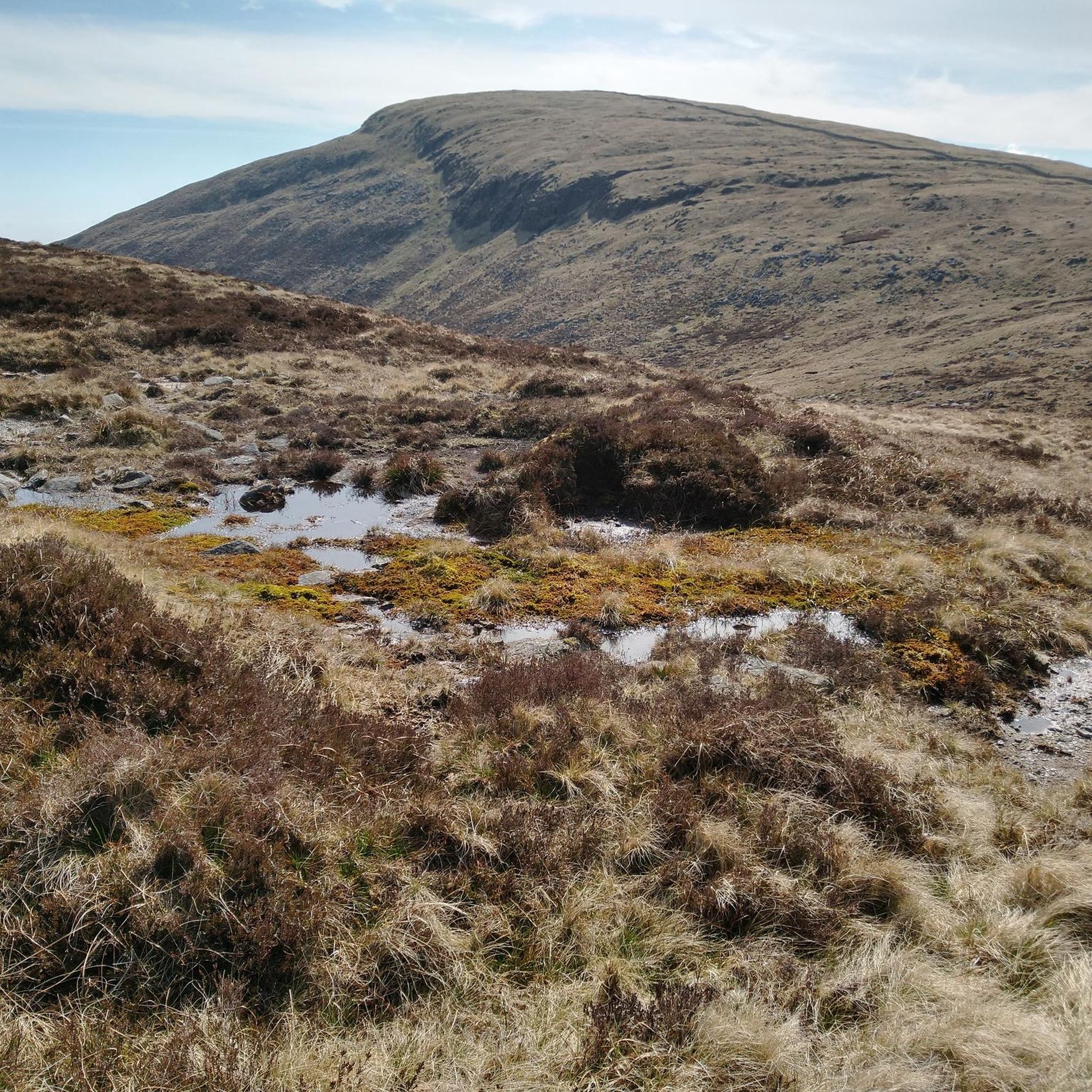
Jogging routes around Lenish traverse a landscape characterized by mountainous terrain, including peaks like Slieve Doan, Hen Mountain, and Rocky Mountain. The region features varied elevations, with some routes leading through forested areas such as Rostrevor Forest, and others offering open mountain paths. The presence of features like the Mourne Wall and river crossings indicates a diverse natural environment suitable for different running experiences.
Best jogging routes around Lenish
- The most popular jogging route is Blue Quarry to Slieve Doan…
Last updated: October 29, 2026
34
runners
6.87km
00:56
230m
230m
Moderate run. Good fitness required. Mostly paved surfaces.
21
runners
11.0km
01:33
370m
370m
Hard run. Very good fitness required. Sure-footedness, sturdy shoes and alpine experience required.

5.0
(1)
12
runners
9.12km
01:23
400m
400m
Hard run. Very good fitness required. Sure-footedness, sturdy shoes and alpine experience required.
16
runners
9.60km
01:38
630m
630m
Hard run. Very good fitness required. Mostly runnable paths. Some sure-footedness required.
20
runners
11.6km
01:44
560m
560m
Hard run. Very good fitness required. Mostly paved surfaces.
Get access to more routes and recommendations from other explorers.
Already have an account?
Our route recommendations are based on thousands of hikes, rides, and runs completed by other people on komoot.
Start today with a free account
Your next adventure awaits.


Tips from the Community

Hare's Gap is a dramatic mountain pass nestled in the heart of the Mourne Mountains. This striking pass, situated between Slieve Bearnagh and Slievenaglogh, offers hikers a blend of natural beauty and historical intrigue. From this vantage point, hikers are treated to panoramic views of the surrounding peaks and valleys. The pass itself is historically significant, having once served as a route for smuggling goods across the mountains, adding a layer of intrigue to the hike. Hare's Gap is a popular starting point for various hikes, including ascents of Slieve Bearnagh and Slieve Meelmore.
2
0
Reaching the summit of Slieve Meelbeg (716 m) feels like discovering a quiet treasure in the Mourne Mountains. From the top, you’re greeted by sweeping views of Slieve Bearnagh and Slieve Donard, their rugged forms unfolding across the horizon. The climb isn’t overly technical, making it accessible to many hikers.
1
0
That moment where the mountain trail opens up to sea view bliss. Standing at this lookout in the Mourne Mountains, you’re treated to a wide, sweeping scene. A simple, beautiful reward for your walk, one of those views you’ll want to revisit in your memory long after the hike.
1
0
This spot isn't just a geographic point, it's where paths converge and views open to both the remote moorland above and the familiar valleys behind. Shared by more than 90% of visitors, its quiet drama and sweeping outlooks make it a memorable pause on any Mourne hike.
1
0
Reaching the summit of Slieve Donard feels like stepping into a small, timeless world. There, the stone tower and cairn stand quietly... a simple yet powerful landmark marking the peak of Northern Ireland’s highest mountain. This spot offers more than panoramic views across the Mournes, it anchors the moment, inviting you to pause and reflect on your journey.
1
0
Hare’s Gap is one of the most iconic passes in the Mourne Mountains, marked by its rugged stile and dramatic views that open up across the range. Once a historic smuggling route, it remains a natural gateway into the high Mournes, with steep paths and striking rock formations framing the way. From here, the landscape unfolds in every direction, making it a perfect spot to pause, take in the scenery, and appreciate the wild beauty of these mountains.
4
0
On the summit of Slieve Meelmore stands a small stone shelter, a welcome spot to rest after the steady climb up. From here, the views stretch across the Mournes, with Slieve Bearnagh’s rocky tors dominating the skyline. The shelter gives hikers a place to pause, shielded from the wind, and enjoy the sweeping mountain scenery before continuing along the Mourne Wall.
3
0
Slieve Loughshannagh is one of the quieter summits in the Mourne Mountains, but it rewards hikers with wide, open views over Silent Valley, Slieve Binnian, and the western Mournes. The climb isn’t too demanding, and the summit has a peaceful, windswept feel, making it a lovely spot to pause and take in the rugged beauty of the landscape.
4
0
Frequently Asked Questions
How many running trails are available around Lenish?
There are over 40 running trails around Lenish, offering a wide range of experiences for joggers of all levels. The komoot community has explored these routes over 700 times.
What kind of terrain can I expect on jogging routes in Lenish?
Jogging routes in Lenish feature a diverse landscape, including mountainous ascents, forested sections, and open moorland paths. You'll encounter varied elevations, with some trails leading to peaks like Slieve Doan and others traversing areas like Rostrevor Forest.
Are there any easy running paths for beginners in Lenish?
Yes, while many routes are challenging, there is at least one easy running path available. The majority of routes are moderate to difficult, so it's advisable to check the difficulty grade before heading out.
Which running trails offer significant elevation gain for a challenging workout?
For a challenging workout with significant elevation gain, consider routes like the Hen Mountain – Cock Mountain loop from Hen Mountain, which features over 435 meters of ascent. Another option is the Mourne Wall loop from Upper Bann, with over 700 meters of climbing.
Can I find circular running routes in Lenish?
Yes, several running routes in Lenish are circular. For example, the Hen Mountain – Cock Mountain loop from Hen Mountain and the Pierce's Castle – Descent into Rostrevor Forest loop from Altaggart Mountain are both popular circular options.
What interesting landmarks or natural features can I see along the running trails?
Along the running trails, you can encounter various natural features and landmarks. Notable peaks include Hen Mountain and Slieve Bearnagh. You might also pass by unique natural monuments like Pierce's Castle or the historic Mourne Wall.
Are there any routes that include river crossings?
Yes, some routes incorporate river crossings, adding to the adventurous feel of the run. The Leitrim Lodge River Crossing – Rocky Mountain Summit loop from Altaggart Mountain is an example of a trail that features a river crossing.
What do other runners say about the trails in Lenish?
The running trails in Lenish are highly regarded by the komoot community, holding an average rating of 5.0 stars. Runners frequently praise the varied terrain, from challenging mountain ascents to scenic forest paths, and the overall quality of the routes.
Are there any long-distance running trails for endurance training?
For longer runs, you can find several trails over 10 km. The Pierce's Castle – Descent into Rostrevor Forest loop from Altaggart Mountain is 11.4 km, and the Mourne Wall loop from Upper Bann is 10.9 km, both offering significant distances for endurance training.
Is it possible to combine running with exploring viewpoints in Lenish?
Absolutely. Many running routes offer stunning viewpoints. Peaks like Slieve Bearnagh and Ben Crom are known for their panoramic views and can be incorporated into your run.
What is the typical duration for a running trail in Lenish?
The duration varies significantly depending on the route's length and difficulty. For instance, a moderate trail like Blue Quarry to Slieve Doan run — Mourne takes about 56 minutes, while longer, more difficult routes can take over an hour and a half, such as the Pierce's Castle – Descent into Rostrevor Forest loop from Altaggart Mountain at around 1 hour 36 minutes.
Most popular routes around Lenish
Most popular attractions around Lenish

Get inspired with the komoot mobile app


Explore more
Browse the best Running Trails & Routes in other regions.
