East and West Buckland
East and West Buckland
The best road cycling routes around East and West Buckland
4.7
(48)
2,791
riders
91
rides
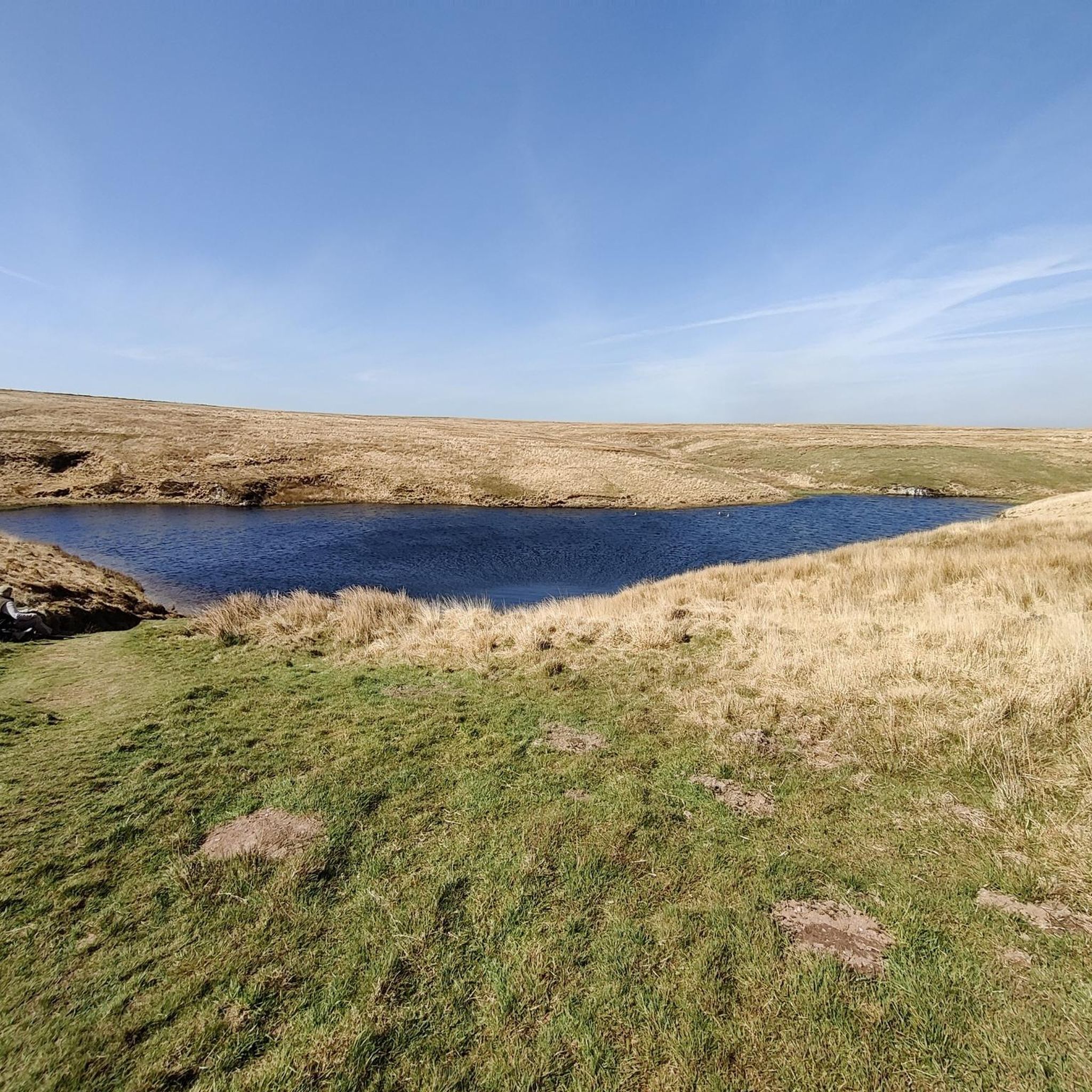
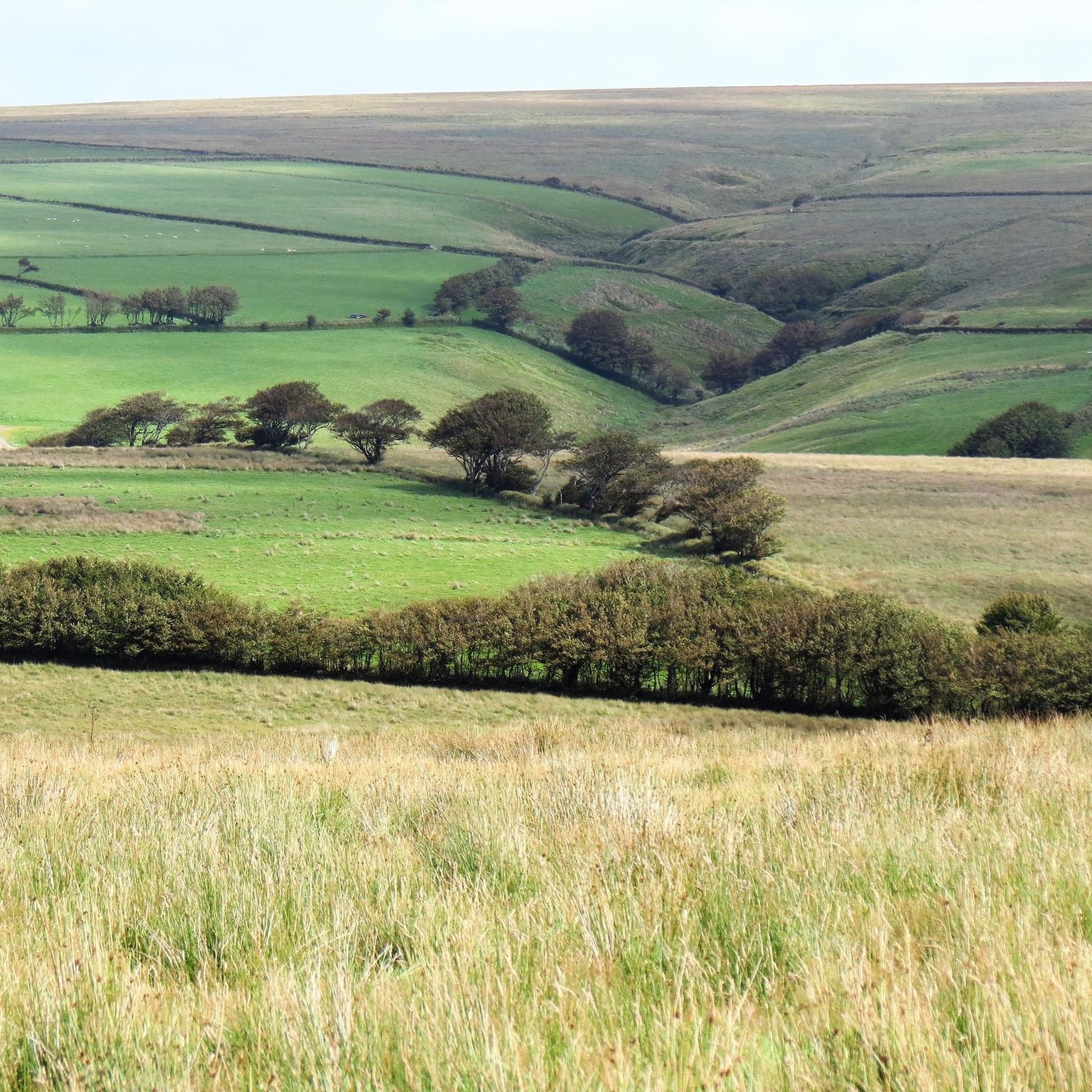
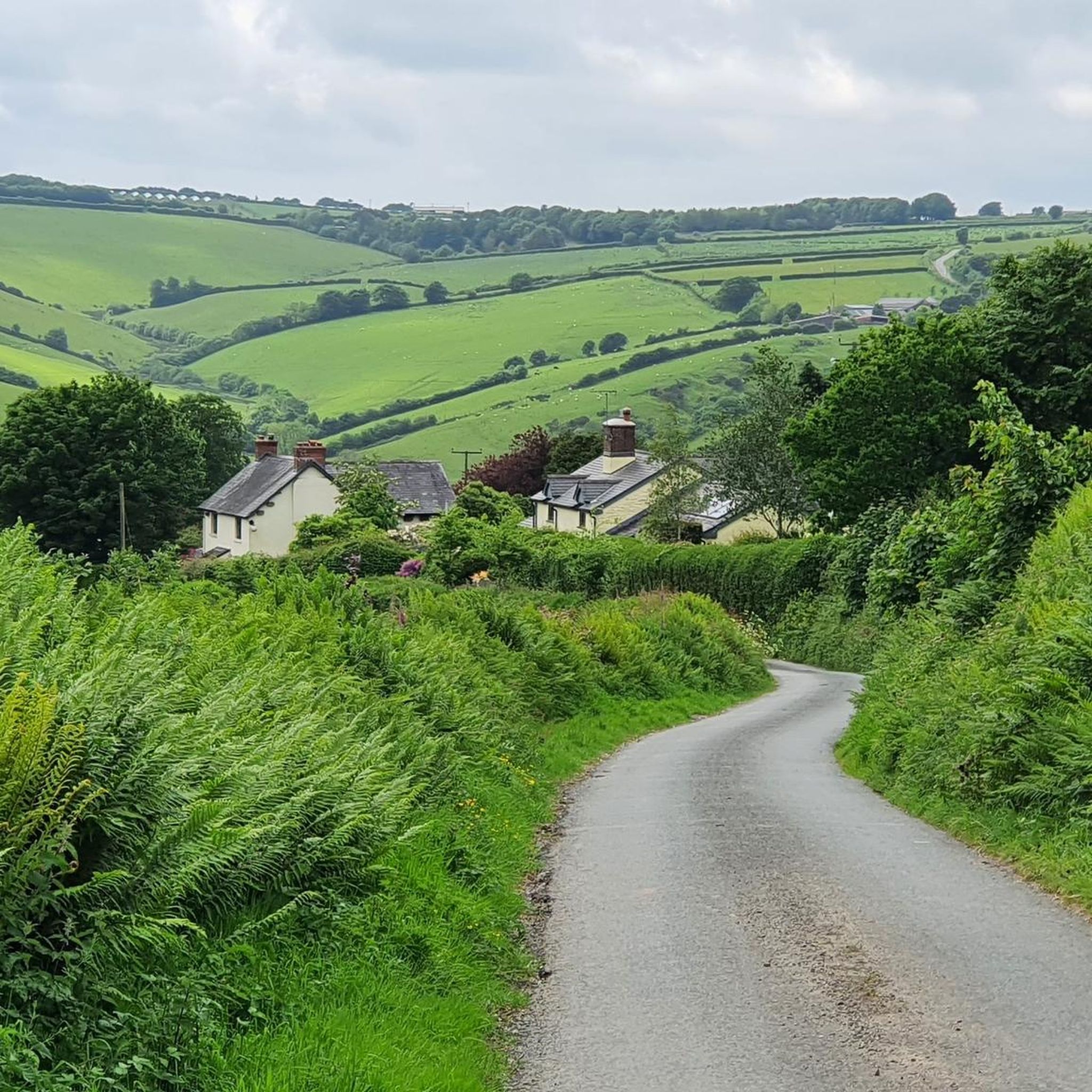
Road cycling routes around East and West Buckland are situated in Devon, offering access to diverse landscapes. The region features rolling hills, wooded river valleys, and quiet country lanes, providing varied terrain for cyclists. Proximity to Exmoor National Park means routes can include significant elevation gains and panoramic views. The area is characterized by a mix of gradients, with both challenging ascents and enjoyable descents on paved surfaces.
Best road cycling routes around East and West Buckland
- The most popular…
Last updated: May 17, 2026
29
riders
40.5km
02:02
570m
580m
Moderate road ride. Good fitness required. Mostly well-paved surfaces and easy to ride.
5.0
(1)
27
riders
Moderate road ride. Good fitness required. Some segments of this route may be unpaved and difficult to ride.

Sign up for free
17
riders
75.6km
04:04
1,360m
1,360m
Hard road ride. Very good fitness required. Mostly well-paved surfaces and easy to ride.
5.0
(1)
15
riders
86.8km
04:12
1,080m
1,080m
Hard road ride. Very good fitness required. Mostly well-paved surfaces and easy to ride.
17
riders
86.3km
04:10
840m
840m
Moderate road ride. Good fitness required. Mostly well-paved surfaces and easy to ride.
Get access to more routes and recommendations from other explorers.
Sign up for free
Already have an account?
Our route recommendations are based on thousands of hikes, rides, and runs completed by other people on komoot.
Start today with a free account
Your next adventure awaits.
Login or Signup
Tips from the Community


Beautiful little station, viaduct and mill visitor hub with wonderful model of the railway.
0
0


Fremington Quay, located along the Tarka Trail, offers stunning panoramic views of the River Taw. Once a bustling port handling goods from across the globe, it is now a perfect spot to begin your journey or take a well-deserved rest. The old railway line, originally built for transporting goods, now forms part of the scenic Tarka Trail.
2
0

The Taw is a river about 70 kilometres long that flows from Dartmoor into the Bristol Channel in northern Devon. The tidal range is 4 to 6 metres and at low tide extensive sandbanks are exposed between Barnstaple and the estuary. A wonderful natural spectacle.
0
0

Frequently Asked Questions
How many road cycling routes are available around East and West Buckland?
There are over 90 road cycling routes available in the East and West Buckland area. These routes cater to various skill levels, with 10 easy, 60 moderate, and 21 difficult options, ensuring a suitable ride for almost every cyclist.
What kind of terrain can I expect when road cycling in East and West Buckland?
The region offers a diverse mix of terrain, characterized by rolling hills, wooded river valleys, and quiet country lanes. You'll find a variety of gradients, from challenging ascents, especially near Exmoor National Park, to enjoyable descents, all predominantly on paved surfaces. The landscape provides 'view after beautiful view' as you cycle.
Are there any challenging road cycling routes for experienced cyclists?
Yes, experienced cyclists will find plenty of challenging routes. For instance, the Glen Lyn Gorge – Lynmouth loop from Swimbridge is a difficult 75.6 km trail with over 1350 meters of elevation gain, leading through varied terrain including sections near Exmoor National Park. Another demanding option is the South Molton Market Square – Two Moors Gallery Café loop from Chittlehampton, covering 86.8 km with over 1000 meters of climbing.
What do other road cyclists enjoy most about cycling in East and West Buckland?
The area is highly rated by the komoot community, with an average score of 4.8 stars from over 40 reviews. Cyclists often praise the quiet country lanes, the diverse and scenic landscapes, and the mix of challenging climbs and rewarding descents that offer panoramic views.
Are there any circular road cycling routes in the area?
Many of the road cycling routes around East and West Buckland are designed as loops, allowing you to start and finish at the same point. An example is the Bike Shed Bike Shop & Café – Barnstaple Castle loop from Cobbaton Combat Museum, a moderate 46.3 km path that offers a mix of rural lanes and passes by local landmarks.
What attractions or landmarks can I see along the road cycling routes?
While cycling, you can encounter several interesting points. The Chelfham Viaduct – Barnstaple Long Bridge loop from Swimbridge navigates through the scenic North Devon countryside, passing by the historic Chelfham Viaduct. Other routes might take you near the River Taw or offer views from the Wistlandpound Reservoir Bird Hide. You might also spot the Barnstaple Clock Tower on routes passing through Barnstaple.
Are there any routes that offer coastal or estuary views?
While East and West Buckland are inland, the wider Devon region, accessible via some routes, boasts stunning coastal areas and estuary trails. Routes near the Taw and Torridge Estuary, such as the Fremington Quay Café – River Taw loop from South Molton, can offer a blend of coastal scenery and inland tracks, providing varied cycling experiences.
Are there places to stop for refreshments like pubs or cafes along the routes?
Yes, many routes in the East and West Buckland area pass through charming villages that feature welcoming pubs and cafes. These spots offer excellent opportunities for refreshment and to sample local produce, enhancing your cycling experience. For example, the Bike Shed Bike Shop & Café – Barnstaple Castle loop from Cobbaton Combat Museum starts near a bike shop and café, and the South Molton Market Square – Two Moors Gallery Café loop from Chittlehampton passes through South Molton, which has market square amenities.
What is the best time of year to go road cycling in this region?
The diverse terrain of Devon, including the East and West Buckland area, is enjoyable throughout much of the year. Spring and summer offer pleasant weather for exploring the rolling hills and quiet lanes. Autumn can also be beautiful with changing foliage, though conditions might be wetter. Always check local weather forecasts before heading out.
Are there any easy road cycling routes suitable for beginners or families?
Yes, the region offers 10 easy road cycling routes, perfect for beginners or those looking for a more relaxed ride. These routes typically feature less elevation gain and cover shorter distances, allowing for a comfortable introduction to road cycling in the North Devon countryside.
What are the typical distances and elevation gains for road cycling routes here?
Routes vary significantly. You can find shorter, easier loops, but many routes feature significant elevation gains. For example, moderate routes can be around 40-50 km with 300-600 meters of climbing, while difficult routes can extend over 75 km with more than 1000 meters of elevation gain, such as the Glen Lyn Gorge – Lynmouth loop from Swimbridge.
Most popular attractions around East and West Buckland

Get inspired with the komoot mobile app


Explore more
Browse the best Road cycling routes in other regions.
