The best walks and hikes around Drumgooland
4.9
(17)
292
hikers
15
hikes
Hiking around Drumgooland offers varied terrain within County Down, Northern Ireland, characterized by the Dromara Hills, an Area of Outstanding Natural Beauty. The landscape features rolling hills, expansive open moorland, and rich farmland, providing a tranquil setting for outdoor activities. Slievenaboley, a prominent hill at 324 meters, is a key feature, alongside coastal areas and estuaries that offer diverse walking environments. The region's geology contributes to a mix of natural features suitable for different hiking experiences.
Best hiking trails around…
Last updated: August 7, 2026
4.0
(1)
18
hikers
7.57km
01:58
40m
50m
Easy hike. Great for any fitness level. Easily-accessible paths. Suitable for all skill levels.
1
hikers
3.27km
00:51
20m
20m
Easy hike. Great for any fitness level. Easily-accessible paths. Suitable for all skill levels.

Sign up for free
1
hikers
3.76km
00:58
10m
10m
Easy hike. Great for any fitness level. Easily-accessible paths. Suitable for all skill levels.
5.0
(2)
49
hikers
6.91km
01:46
30m
30m
Easy hike. Great for any fitness level. Easily-accessible paths. Suitable for all skill levels.
19
hikers
7.89km
02:01
30m
30m
Moderate hike. Good fitness required. Easily-accessible paths. Suitable for all skill levels.
Get access to more routes and recommendations from other explorers.
Sign up for free
Already have an account?
Our route recommendations are based on thousands of hikes, rides, and runs completed by other people on komoot.
Start today with a free account
Your next adventure awaits.
Login or Signup
Popular around Drumgooland
Tips from the Community

This picturesque spot is located between Dundrum Bay and Murlough Bay and offers impressive views of the surrounding countryside. The paths there lead through the Murlough National Nature Reserve, a 6,000-year-old dune system that is great for cycling. However, some sections can become slippery in wet weather, so care must be taken. A particular highlight is the Downshire Bridge, which connects the village of Dundrum with the nature reserve and provides a charming crossing over the bay.
1
0

Lovely running route all the way around the estuary. Can get boggy so be prepared.
0
0

Found on the beautiful peninsula between Dundrum Bay and Murlough Bay (Irish: Murlach, meaning 'sea inlet') Keel Point has perfect views of Slieve Donard, the highest peak in the Kingdom of the Mourne Mountains.
1
0
Beautiful at any time of year but it's extra special in the Spring!
0
0

Here is a great vantage point to enjoy the best of the sensational River Quoile. Enjoy beautiful scenery of rounded hills and marshes as you pass the tranquil riverside and keep your eyes peeled for local bird and wildlife that are often seeing relaxing on the water.
2
0
The Dundrum Coastal Path provides a beautiful 2.5km stretch of coastal walking along a disused railway line on the western shore of Dundrum Inner Bay. Enjoy delightful views of the bay and the Mournes as you make your way along this well-maintained path.
0
0
The beautiful Dundrum Castle is located on a hilltop near Dundrum village. Its elevated position provides fantastic panoramic views across Dundrum, the Carrigs Estuary, the Mourne Mountain range and out to the Irish Sea. The castle itself was constructed by John de Courcy at the beginning of the 13th century. It's a fine example of a historic medieval castle of its time.
2
0
This little pocket of woodland is located at the northern point of the sensational Murlough Nature Reserve in the Mourne Area of Natural Beauty in Northern Ireland. The woodland is surrounded by estaury and sea and provides habitat to a number of wonderful wildlife species including butterflies, birds, and many insects.
1
0
Frequently Asked Questions
How many hiking trails are available around Drumgooland?
There are over 15 hiking trails in the Drumgooland area, offering a variety of experiences. The komoot community has explored these routes over 200 times, providing valuable insights and ratings.
Are there easy hiking trails suitable for beginners in Drumgooland?
Yes, Drumgooland offers a good selection of easy trails perfect for beginners. Out of the 15 available routes, 11 are rated as easy, providing gentle paths through scenic landscapes. An example is the Dundrum Coastal Path, which is 4.7 miles long and offers pleasant coastal views.
What kind of terrain can I expect on hikes in Drumgooland?
Hiking in Drumgooland primarily features the picturesque Dromara Hills, an Area of Outstanding Natural Beauty. You can expect rolling hills, expansive open moorland, and rich farmland. Some trails also venture into forested areas like Drumkeeragh Forest Park or along coastal paths, providing a diverse range of natural environments.
How does hiking in Drumgooland compare to the Mourne Mountains?
Drumgooland generally offers a more tranquil hiking experience compared to the often busier Mourne Mountains. While still providing breathtaking panoramic views, especially from peaks like Slievenaboley and Slieve Croob, the Dromara Hills tend to be less crowded, making for a peaceful outdoor escape.
Are there family-friendly hiking options in Drumgooland?
Absolutely. Many of the easy trails in Drumgooland are suitable for families. These routes often feature gentle gradients and scenic surroundings, perfect for walks with children. The coastal paths, such as the Murlough North Point loop — Mourne, are particularly popular for family outings.
Can I bring my dog on the hiking trails in Drumgooland?
Many trails in Drumgooland are dog-friendly, but it's always best to keep your dog on a lead, especially in areas with livestock or nature reserves. Always follow local signage and ensure you clean up after your pet to preserve the natural beauty for everyone.
Are there circular walks or loop trails available in Drumgooland?
Yes, Drumgooland offers several circular routes. For example, the Dundrum Bridge loop from Dundrum provides a pleasant 4.3-mile (6.9 km) walk, allowing you to return to your starting point without retracing your steps.
What natural features or landmarks can I see while hiking in Drumgooland?
The region is rich in natural beauty. You can encounter rolling hills, open moorland, and coastal landscapes. Notable natural features include the Dromara Hills themselves, Slievenaboley, and the scenic Murlough Nature Reserve Boardwalk. In early summer, the Dromara Hills are also abundant with wildflowers, including orchids and bog asphodel.
Are there any historical sites to explore near the hiking trails?
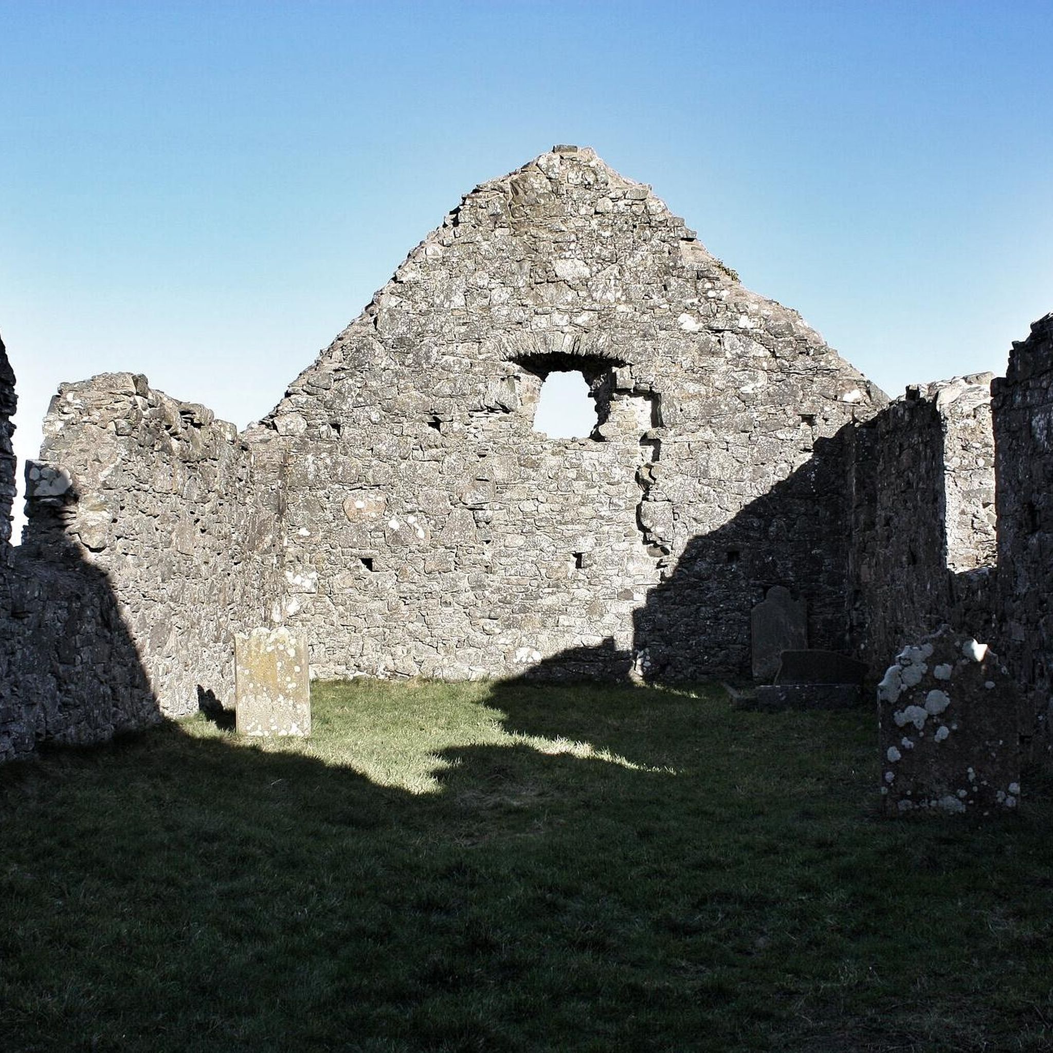
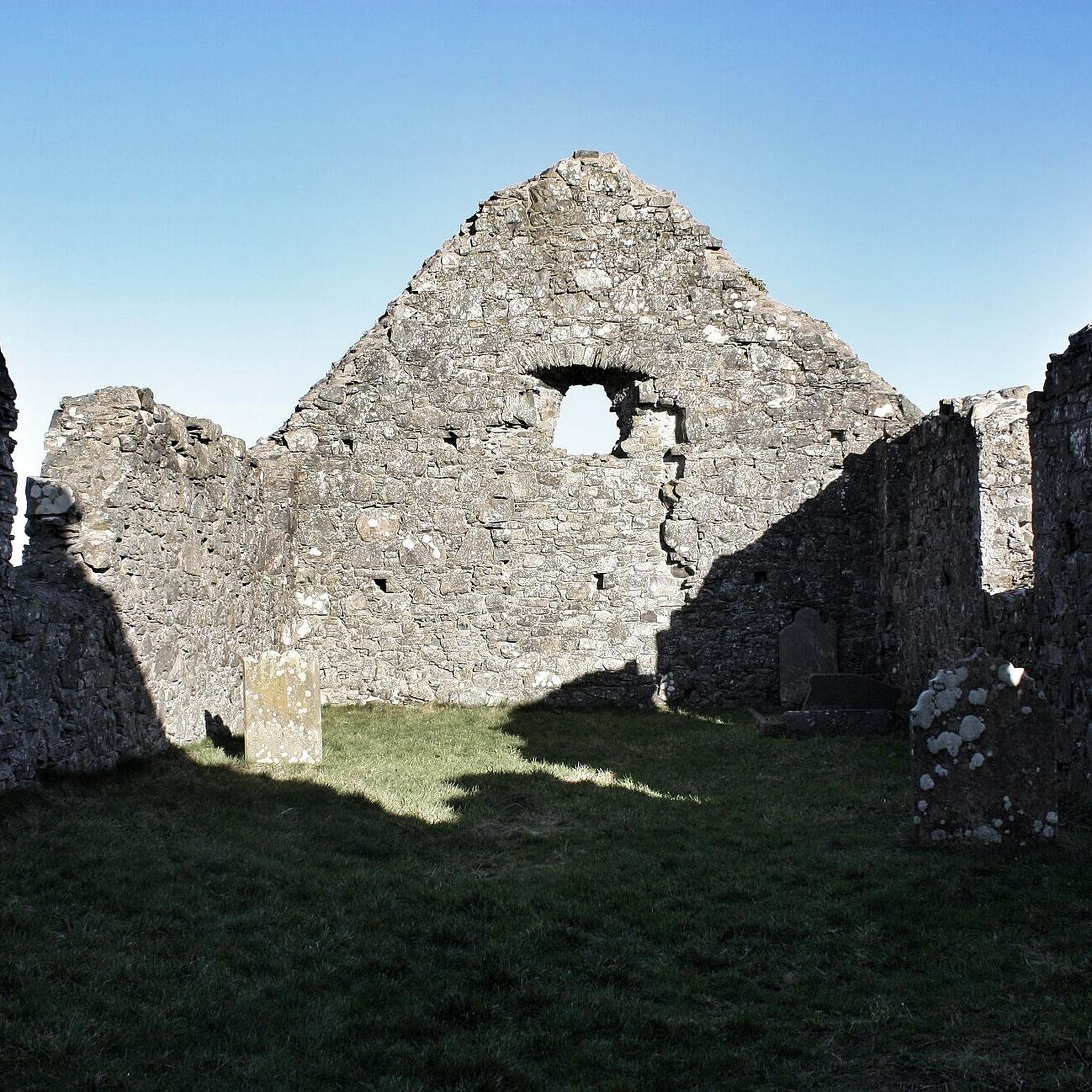
Yes, the Drumgooland area is home to several fascinating historical sites. You can visit the striking prehistoric Annadorn Dolmen, or explore the ruins of Clough Castle and Dundrum Castle. The Ballynoe Stone Circle is another significant ancient monument worth visiting.
What is the best time of year to hike in Drumgooland?
Spring and summer are ideal for hiking in Drumgooland, offering pleasant temperatures and the chance to see wildflowers in bloom across the Dromara Hills. Autumn provides beautiful foliage, while winter can offer crisp, clear days, though conditions may be more challenging on higher ground.
What do other hikers enjoy most about hiking in Drumgooland?
The komoot community highly rates the hiking experiences in Drumgooland, with an average score of 4.9 stars from over 17 reviews. Hikers often praise the tranquil atmosphere, the diverse landscapes ranging from coastal paths to rolling hills, and the stunning panoramic views, particularly from viewpoints like Windy Gap.
Are there any longer, more challenging hikes in the Drumgooland area?
While many trails are easy, there are moderate options for those seeking a bit more challenge. For instance, the View of Dundrum – Carrigs Estuary loop from Dundrum is a moderate 4.9-mile (7.9 km) route that offers a good workout with rewarding views. The Dromara Hills also provide opportunities for longer excursions, such as routes leading to Slieve Croob.
Where can I find parking for hiking trails in Drumgooland?
Parking is generally available at popular trailheads and points of interest throughout the Drumgooland area. Specific parking information can often be found on individual route descriptions on komoot. The Windy Gap, for example, is a known viewpoint with parking facilities, providing access to walking routes.
Most popular routes around Drumgooland
Most popular attractions around Drumgooland

Get inspired with the komoot mobile app


Explore more
Browse the best Hikes in other regions.
