The best running trails around Burglengenfeld
4.4
(45)
1,194
runners
122
runs
Jogging around Burglengenfeld offers diverse routes through a landscape shaped by the Naab River and the Bavarian Jura. The region features river valleys, rolling hills, and dense forests, providing a mix of elevations and natural settings. Natural areas such as the Höllohe Nature Park contribute to the varied terrain. This environment provides options for different running preferences and fitness levels.
Best jogging routes around Burglengenfeld
- The most popular jogging route is Running loop from Burglengenfeld, a 5.8 miles (9.3…
Last updated: August 14, 2026
5.0
(2)
62
runners
15.8km
01:43
140m
140m
Hard run. Very good fitness required. Mostly paved surfaces. Suitable for all skill levels.
5.0
(1)
52
runners
9.59km
01:01
70m
70m
Moderate run. Good fitness required. Mostly paved surfaces. Suitable for all skill levels.

Sign up for free
5.0
(1)
66
runners
12.2km
01:22
80m
80m
Moderate run. Good fitness required. Mostly paved surfaces. Suitable for all skill levels.
4.5
(2)
37
runners
6.14km
00:43
70m
70m
Moderate run. Good fitness required. Mostly paved surfaces. Suitable for all skill levels.
5.0
(1)
34
runners
Hard run. Very good fitness required. Mostly paved surfaces. Suitable for all skill levels.
Get access to more routes and recommendations from other explorers.
Sign up for free
Already have an account?
Our route recommendations are based on thousands of hikes, rides, and runs completed by other people on komoot.
Start today with a free account
Your next adventure awaits.
Login or Signup


Tips from the Community

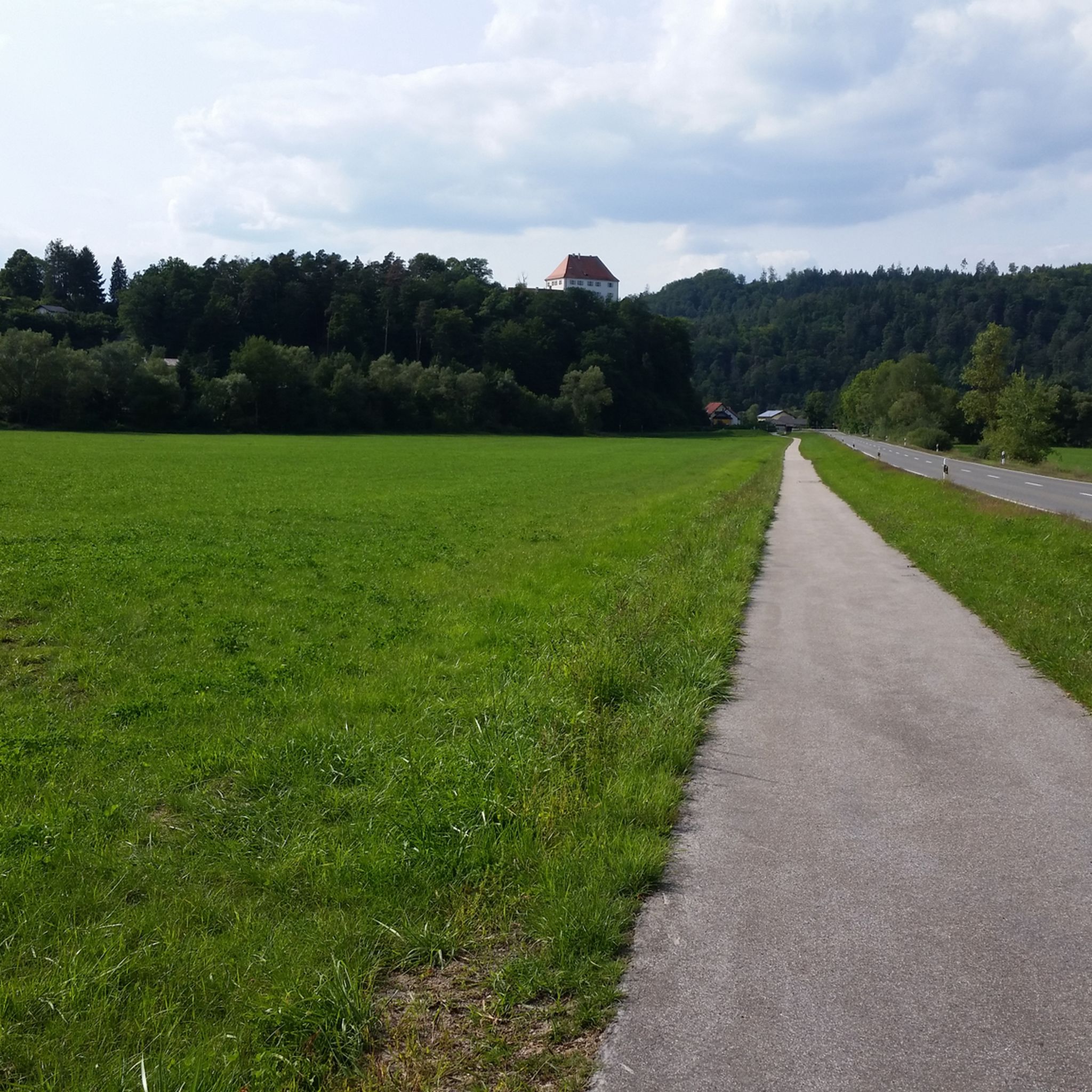
It already looks impressive when you pass by.
1
0

Saltendorf Pond covers approximately ten hectares and, as the name suggests, is located in Saltendorf, a district of Teublitz. The clubhouse of the Teublitz Fishing Club is also located here. As a former gravel pit lake, it is home to a healthy fish population: eels, pike, carp, perch, zander, tench, and various whitefish await enthusiastic anglers. The Teublitz Fishing Club expertly manages the lake; visitors can purchase 3-day and weekly permits for Saltendorf Pond, as well as other club-owned lakes. While the lake is no longer officially designated for swimming, on warm summer days, expect to see swimmers, stand-up paddleboarders, inflatable mattresses, and other recreational activities. A pleasant lawn with a playground invites visitors to relax, even without fishing. A footpath encircles the lake. Fishing is permitted from 5:00 a.m. to midnight; boats are prohibited.
2
0


We always enjoy eating here; I am very satisfied.
4
0
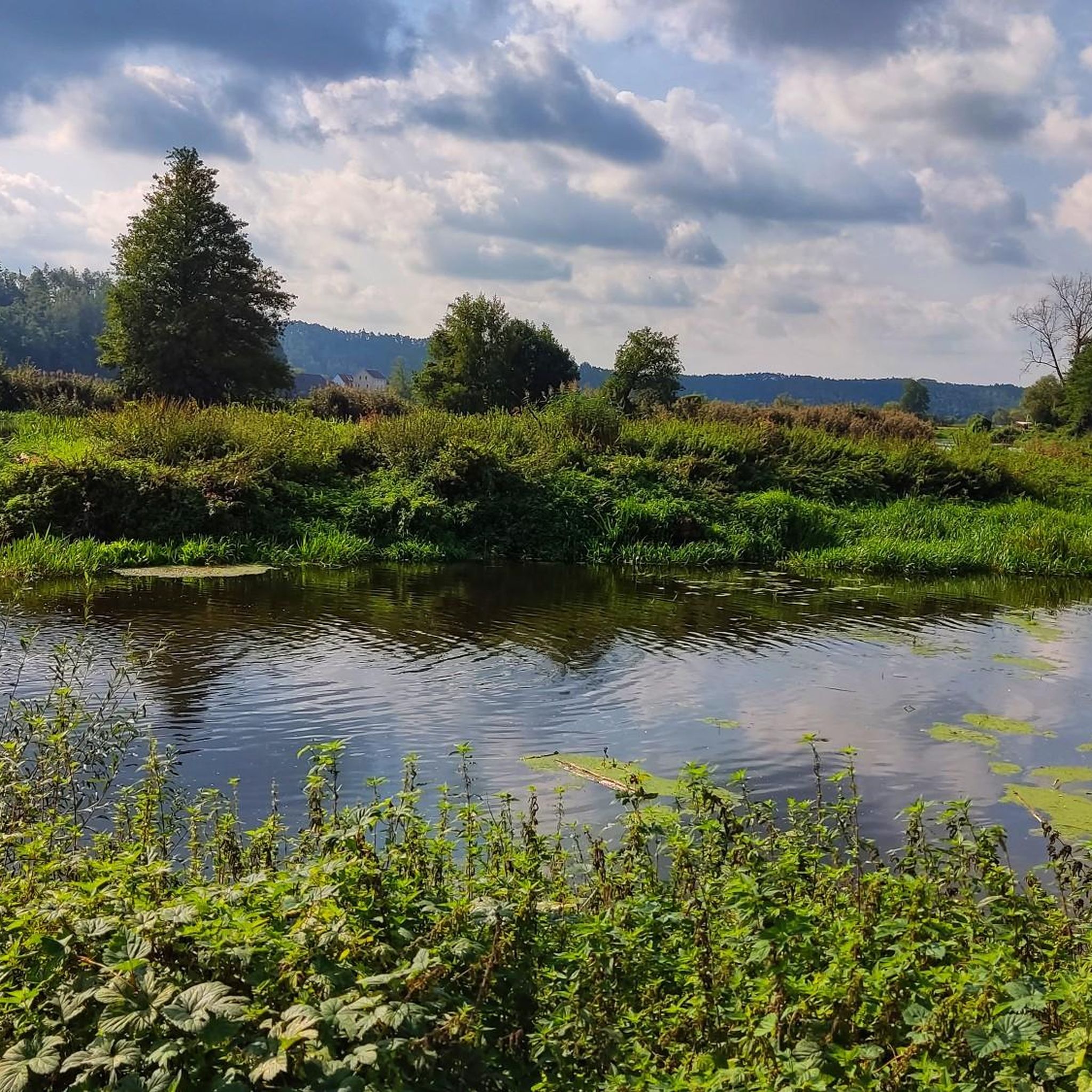
Here you can see a small island in the Naab at low tide.
4
1
The ravine becomes narrower and steeper towards the top. It is a lovely walk.
1
0

The "House Without a Roof," as it is officially known, is a still-used cave dwelling in the Upper Palatinate market town of Kallmünz. The cave is located north of the Vils River at the southern end of the Schlossberg (Castle Hill), upon which the Kallmünz Castle ruins stand. The entrance is set back from Vilsgasse (Vils Lane) at the foot of an approximately 20-meter-high limestone cliff of the Schlossberg, and access is via a passage between the listed residential buildings at Vilsgasse 26 and Vilsgasse 28. The house consists of a natural cave in the dolomite rock, the opening of which is closed off by a plastered wall with a door and windows. Inside, there is a hallway, a living room, two storage rooms fitted into rock niches, and a historic smokehouse. The oldest known mention of the cave dwelling is found in a document dated 1707, preserved in the land registry archive in Amberg. In the 19th century, it was also referred to as the "House Under the Rock." In 1908, it was sold to the owner of the blacksmith's shop located across the road, and it remains in his family's possession. The last permanent resident left the house in 1937 because he developed rheumatism due to the damp cave air.
18
0

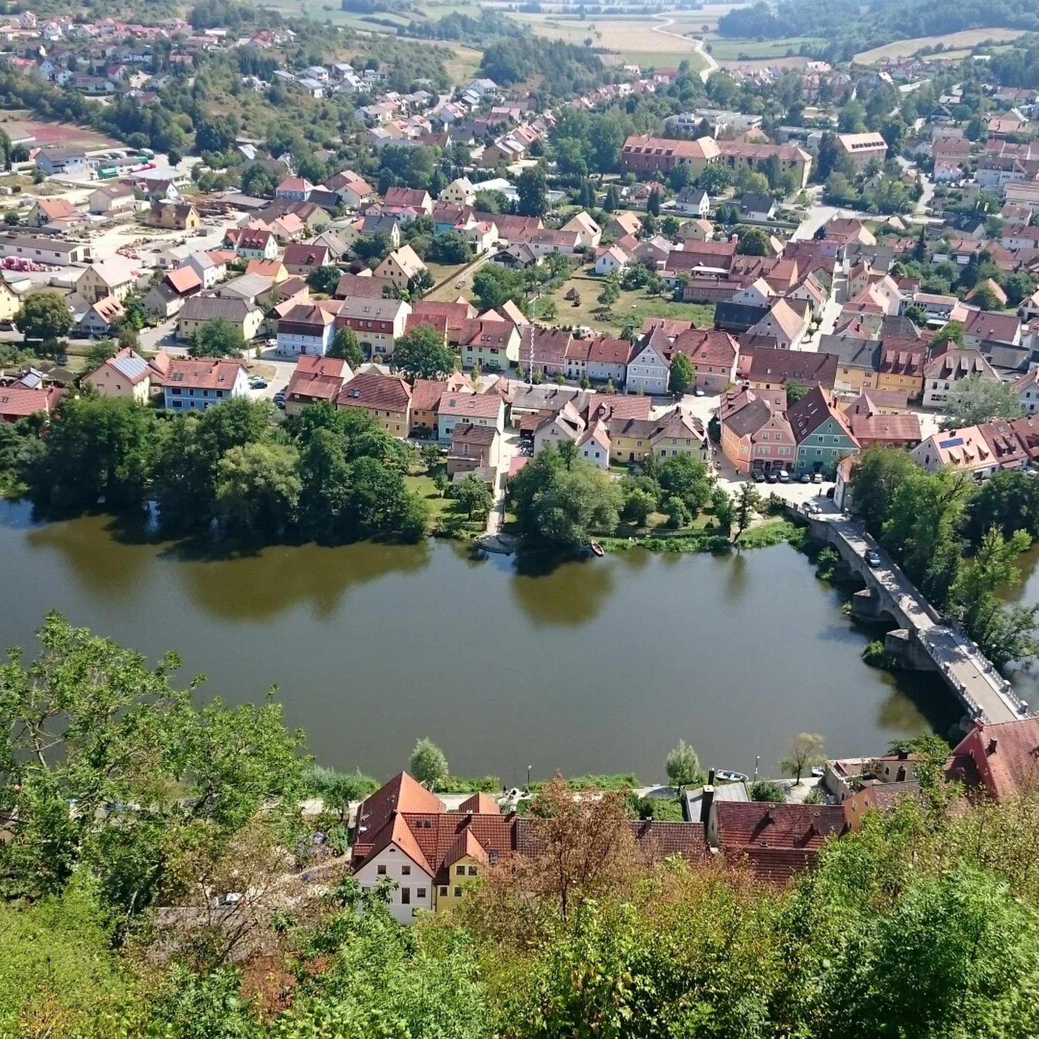
From the bridge you can enjoy a wonderful view of the Naab, as well as the castle towering over the city and river.
6
0
Frequently Asked Questions
How many running routes are available in Burglengenfeld?
Burglengenfeld offers a wide selection of running routes, with over 125 trails available for you to explore. These range from easy strolls to more challenging long-distance runs, catering to all fitness levels.
What kind of terrain can I expect on the jogging trails around Burglengenfeld?
The jogging trails in Burglengenfeld feature diverse terrain. You'll find scenic riverside paths along the Naab River, routes through dense forests, and trails that ascend rolling hills within the Bavarian Jura. This mix provides options for both accessible, paved surfaces and more rugged, natural paths.
Are there any easy or beginner-friendly running routes in the area?
Yes, Burglengenfeld has several easy running routes perfect for beginners or those looking for a relaxed jog. There are 19 easy routes available, often following the flatter sections along the Naab River, providing a gentle introduction to the area's natural beauty.
Can I find longer running trails for more challenging workouts?
Absolutely. For those seeking a more demanding run, Burglengenfeld offers 18 difficult routes. A great option is the Eselweiher – Burglengenfeld Castle loop from Burglengenfeld, which covers approximately 15.9 km and includes some elevation gain. Another challenging route is the Eichenberg Rock Formations – View of the Naab River loop from Burglengenfeld, spanning about 18 km.
Are there any historical landmarks or points of interest along the running paths?
Many running routes in Burglengenfeld offer views of historical landmarks. You can enjoy sights of Burglengenfeld Castle, perched above the town. The romantic artist town of Kallmünz, with its historic marketplace and castle ruins, is also a notable attraction in the wider region. For specific highlights, consider exploring the Kallmünz marketplace or the Stockenfels Castle Ruins.
Are there any routes that offer views of water?
Yes, the Naab River is a central feature of the landscape, and many running routes follow its banks, offering picturesque water views. The View of the Naab River – Saltendorf Pond loop from Burglengenfeld is a great example, taking you past the Saltendorfer Weiher, a beautiful ten-hectare lake.
What natural features or scenic viewpoints can I enjoy while jogging?
Beyond the Naab River, you can experience the rolling hills and dense forests of the Bavarian Jura. The Naturpark Höllohe provides a tranquil environment for longer runs. For panoramic vistas, the Köblitzplatte is a popular viewpoint that offers rewarding scenery after a good run.
Are the running routes in Burglengenfeld suitable for families?
Many of the easier and moderate routes along the Naab River are suitable for families, offering relatively flat and accessible paths. The varied landscape also provides opportunities for children to explore natural surroundings. Look for routes with shorter distances and less elevation for a family-friendly experience.
Can I bring my dog on the running trails?
Generally, dogs are welcome on most running trails in Burglengenfeld, especially in natural areas like forests and along river paths. However, it's always recommended to keep your dog on a leash and to be mindful of local regulations, especially in nature reserves or near agricultural land.
Where can I find parking for the jogging routes?
Parking is typically available at various access points to the running trails, particularly near town centers, public parks, or trailheads. Specific parking information can often be found on individual route descriptions on komoot, or by checking local signage.
Is it possible to reach the running trails by public transport?
Burglengenfeld has public transport connections that can get you close to many trailheads. Buses serve various parts of the town and surrounding areas. Checking local bus schedules and routes will help you plan your access to the running trails without a car.
What do other runners say about the jogging experience in Burglengenfeld?
The running experience in Burglengenfeld is highly rated by the komoot community, with an average score of 4.3 stars from over 30 reviews. Runners often praise the diverse terrain, the scenic views along the Naab River, and the well-maintained paths that cater to various fitness levels.
Most popular routes around Burglengenfeld
Most popular attractions around Burglengenfeld

Get inspired with the komoot mobile app


Explore more
Browse the best Running Trails & Routes in other regions.
