The best walks and hikes around Ballydonety
4.6
(9)
153
hikers
16
hikes
Hiking trails around Ballydonety are characterized by coastal paths and varied terrain, offering views of the Irish Sea. The region features a mix of sandy beaches, dunes, and some low-lying hills, providing diverse walking experiences. These trails often follow ancient pathways and offer glimpses into local history and natural beauty.
Best hiking trails around Ballydonety
- The most popular hiking route is Dundrum Coastal Path, a 4.7 miles (7.6 km) trail that takes 1 hour 58 minutes to complete. This…
Last updated: November 10, 2026
4.0
(1)
18
hikers
7.57km
01:58
40m
50m
Easy hike. Easily walkable paths.
1
hikers
3.27km
00:51
20m
20m
Easy hike. Easily walkable paths.

1
hikers
3.76km
00:58
10m
10m
Easy hike. Easily walkable paths.
5.0
(2)
54
hikers
7.06km
01:48
30m
30m
Easy hike. Easily walkable paths.
22
hikers
7.89km
02:01
30m
30m
Moderate hike. Good fitness required. Easily walkable paths.
Get access to more routes and recommendations from other explorers.
Already have an account?
Our route recommendations are based on thousands of hikes, rides, and runs completed by other people on komoot.
Tips from the Community

This picturesque spot is located between Dundrum Bay and Murlough Bay and offers impressive views of the surrounding countryside. The paths there lead through the Murlough National Nature Reserve, a 6,000-year-old dune system that is great for cycling. However, some sections can become slippery in wet weather, so care must be taken. A particular highlight is the Downshire Bridge, which connects the village of Dundrum with the nature reserve and provides a charming crossing over the bay.
1
0
The ancient stone arches are perfectly reflected in the calm water, creating an image of timeless elegance. Cycling along here almost feels like a journey back in time - as if you are capturing a moment in another time.
1
0

Lovely running route all the way around the estuary. Can get boggy so be prepared.
0
0

Found on the beautiful peninsula between Dundrum Bay and Murlough Bay (Irish: Murlach, meaning 'sea inlet') Keel Point has perfect views of Slieve Donard, the highest peak in the Kingdom of the Mourne Mountains.
1
0
Wonderful ornate, twelve arched bridge that seems out of place in this rural setting. The surrounding fields often flood during periods of heavy rain, necessitating a longer bridge than normally appears necessary. Hence the 'Twelve Arches'. The bridge was built sometime after 1836.
1
0
Beautiful at any time of year but it's extra special in the Spring!
0
0

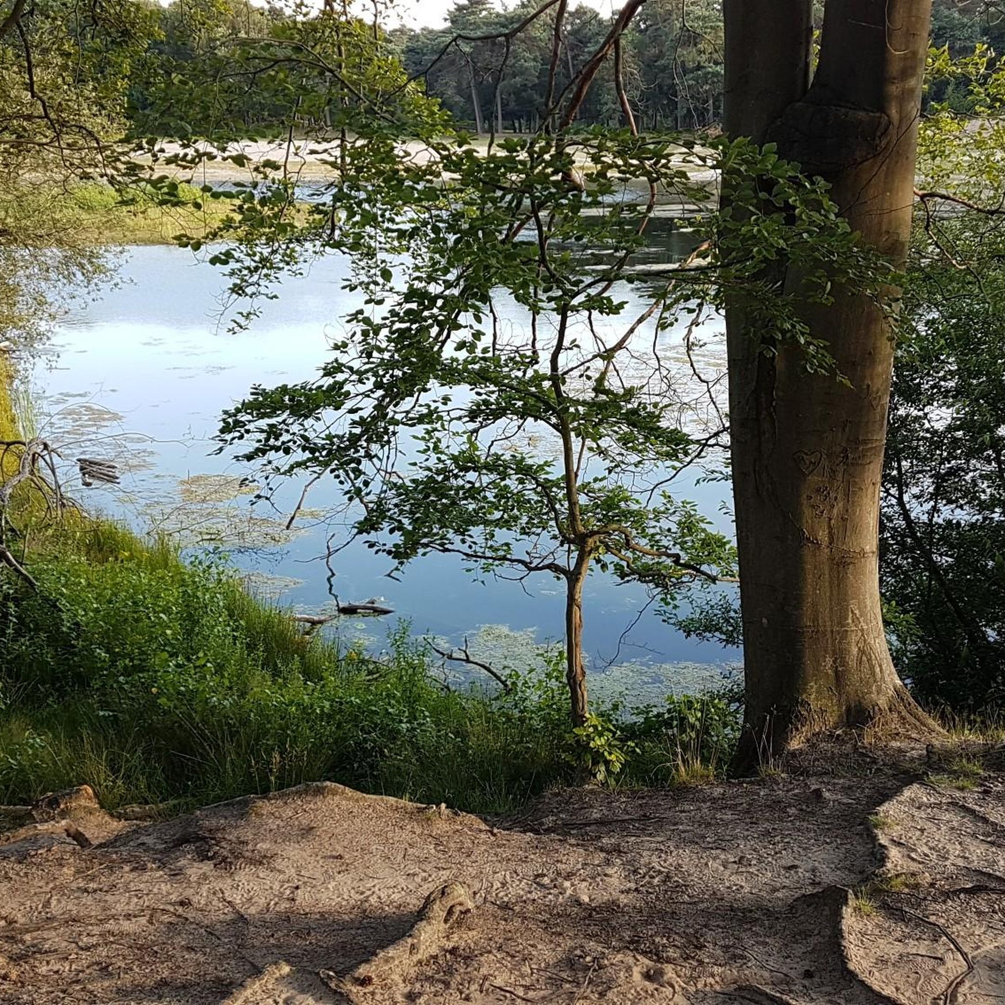
Here is a great vantage point to enjoy the best of the sensational River Quoile. Enjoy beautiful scenery of rounded hills and marshes as you pass the tranquil riverside and keep your eyes peeled for local bird and wildlife that are often seeing relaxing on the water.
2
0
The Dundrum Coastal Path provides a beautiful 2.5km stretch of coastal walking along a disused railway line on the western shore of Dundrum Inner Bay. Enjoy delightful views of the bay and the Mournes as you make your way along this well-maintained path.
0
0
Frequently Asked Questions
What kind of hiking trails can I expect around Ballydonety?
Hiking trails around Ballydonety are primarily characterized by coastal paths, offering scenic views of the Irish Sea. You'll find a mix of sandy beaches, dunes, and low-lying hills, providing diverse walking experiences suitable for various preferences. These routes often follow ancient pathways, revealing glimpses into local history and natural beauty.
How many hiking routes are available in Ballydonety?
There are over 17 hiking routes available around Ballydonety, offering a good selection for explorers. The majority of these, 12 to be exact, are classified as easy, making the area very accessible for casual walkers.
Are there easy hiking trails suitable for beginners or families in Ballydonety?
Yes, Ballydonety is an excellent area for easy hikes. With 12 out of 17 routes classified as easy, there are plenty of options suitable for beginners, families, or those looking for a relaxed stroll. Trails like the Murlough North Point loop — Mourne are particularly gentle, exploring the natural beauty of the Murlough National Nature Reserve.
What do other hikers say about the trails in Ballydonety?
The hiking trails in Ballydonety are highly regarded by the komoot community, boasting an average rating of 4.8 stars from over 8 reviews. Hikers frequently praise the scenic coastal views, the varied terrain of beaches and dunes, and the overall natural beauty of the area.
Are there any circular walks in Ballydonety?
Yes, there are circular routes available. For instance, the Murlough North Point loop — Mourne is an easy circular path that allows you to explore the Murlough National Nature Reserve without retracing your steps. Another option is the Dundrum Bridge loop from Dundrum.
What interesting landmarks or attractions can I see near the hiking trails?
While hiking around Ballydonety, you can discover several historical and natural attractions. Notable sites include the impressive Dundrum Castle, the ancient Clough Castle Ruins, and the mysterious Ballynoe Stone Circle. You can also find viewpoints like the View of the Mourne Mountains from Strangford & Lecale Beach.
Are there any longer or more challenging hikes in the Ballydonety area?
While most trails in Ballydonety are easy, there are a few moderate options for those seeking a bit more challenge. The View of Dundrum – Carrigs Estuary loop from Dundrum is a moderate 7.9 km route that offers a longer excursion with slightly more varied terrain.
Can I find trails that offer views of the Mourne Mountains?
Yes, some trails and viewpoints in the Ballydonety area offer stunning vistas of the Mourne Mountains. For example, the View of the Mourne Mountains from Strangford & Lecale Beach is a specific highlight where you can enjoy these iconic mountain views.
What is the typical duration for hikes in Ballydonety?
Hikes in Ballydonety vary in duration, catering to different preferences. Many of the easy coastal paths, like the Lecale Way, can be completed in under an hour. Longer routes, such as the Dundrum Coastal Path, typically take around two hours.
Are there any trails that explore natural reserves or protected areas?
Yes, the Murlough North Point loop — Mourne specifically explores the natural beauty of the Murlough National Nature Reserve, offering a chance to experience a protected coastal environment.
What kind of terrain should I expect on the trails?
The terrain around Ballydonety is quite varied, primarily featuring coastal paths. You can expect to walk on sandy beaches, traverse dunes, and encounter low-lying hills. The paths are generally well-maintained, offering a mix of natural surfaces and ancient pathways.
Most popular routes around Ballydonety
Most popular attractions around Ballydonety

Get inspired with the komoot mobile app


Explore more
Browse the best Hikes in other regions.
