The best running trails around Deining
4.8
(27)
164
runners
32
runs
Jogging routes around Deining offer a diverse landscape of rolling hills and extensive forests, providing varied terrain for runners. The region, nestled between Nuremberg and Regensburg, is characterized by its unspoiled nature, which contributes to a serene outdoor experience. Trails often feature natural paths like dirt, grass, and gravel, alongside some paved sections, catering to different preferences. The varying elevations, from gentle slopes to more challenging ascents, allow for a range of jogging experiences.
Best jogging routes around Deining
- The…
Last updated: July 18, 2026
4.0
(1)
10
runners
Moderate run. Good fitness required. Mostly paved surfaces. Suitable for all skill levels.
5.0
(1)
6
runners
8.05km
00:50
60m
60m
Moderate run. Good fitness required. Mostly paved surfaces. Suitable for all skill levels.

Sign up for free
7
runners
8.60km
01:01
180m
180m
Moderate run. Good fitness required. Mostly accessible paths. Some sure footedness required.
7
runners
9.83km
01:08
190m
190m
Moderate run. Good fitness required. Mostly accessible paths. Some sure footedness required.
4
runners
10.3km
01:06
110m
110m
Moderate run. Good fitness required. Mostly paved surfaces. Suitable for all skill levels.
Get access to more routes and recommendations from other explorers.
Sign up for free
Already have an account?
Our route recommendations are based on thousands of hikes, rides, and runs completed by other people on komoot.
Start today with a free account
Your next adventure awaits.
Login or Signup




Tips from the Community

In summer, a small water wheel turns here - powered by the fresh spring water.
0
0


There are two ways to get there. One is from the lower main road or from the square near the fire station. The first is the second choice, as the road is quite busy and there is no footpath.
0
0

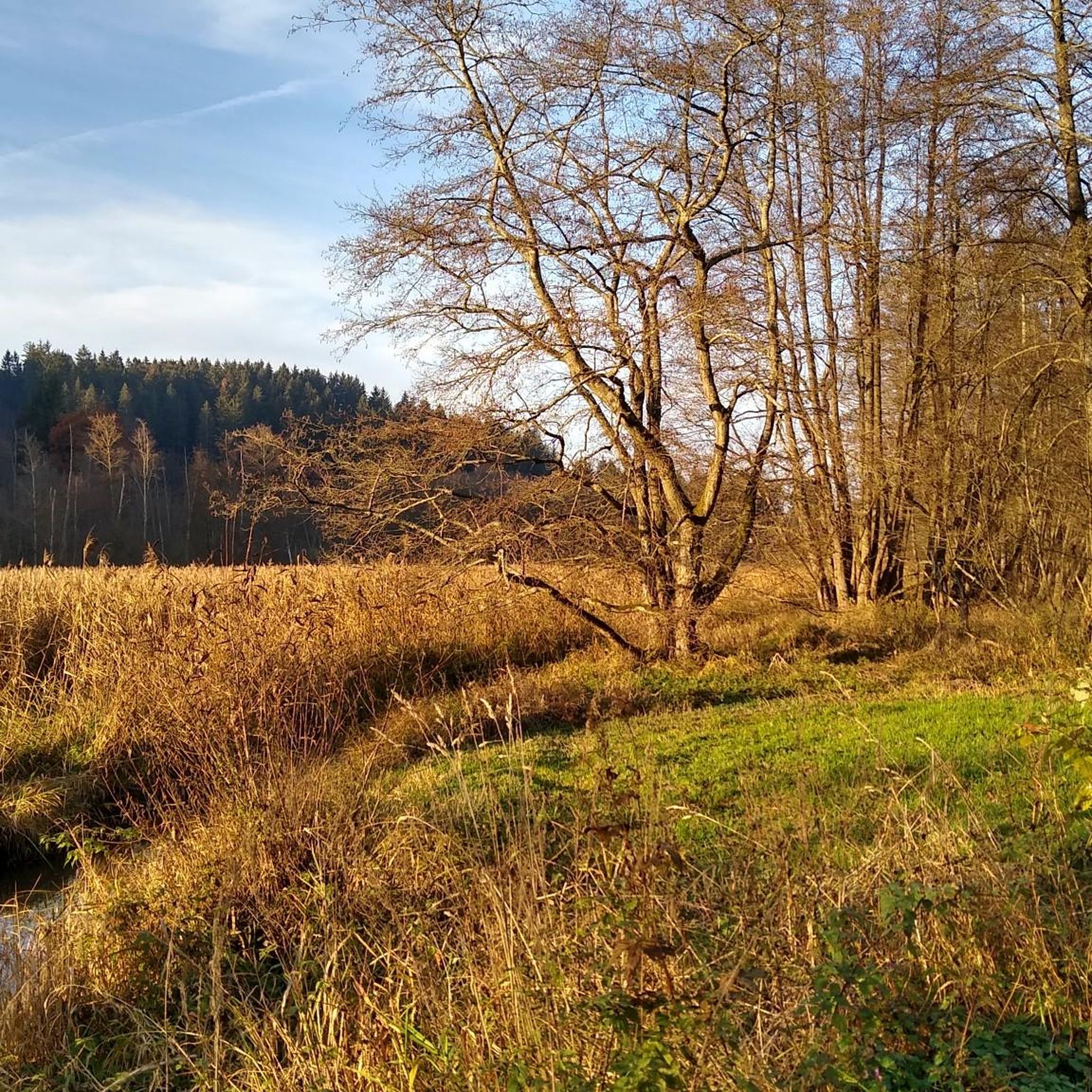
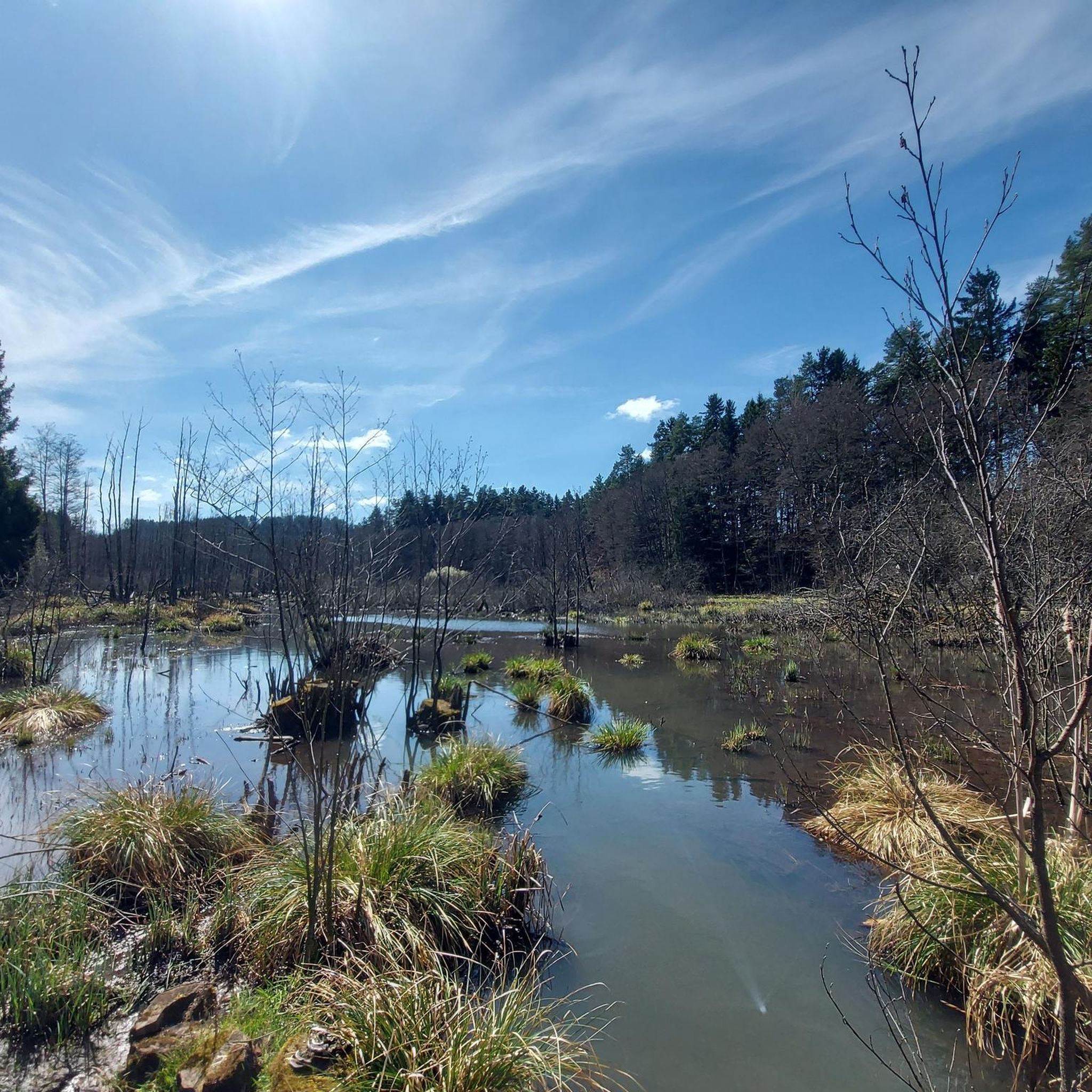
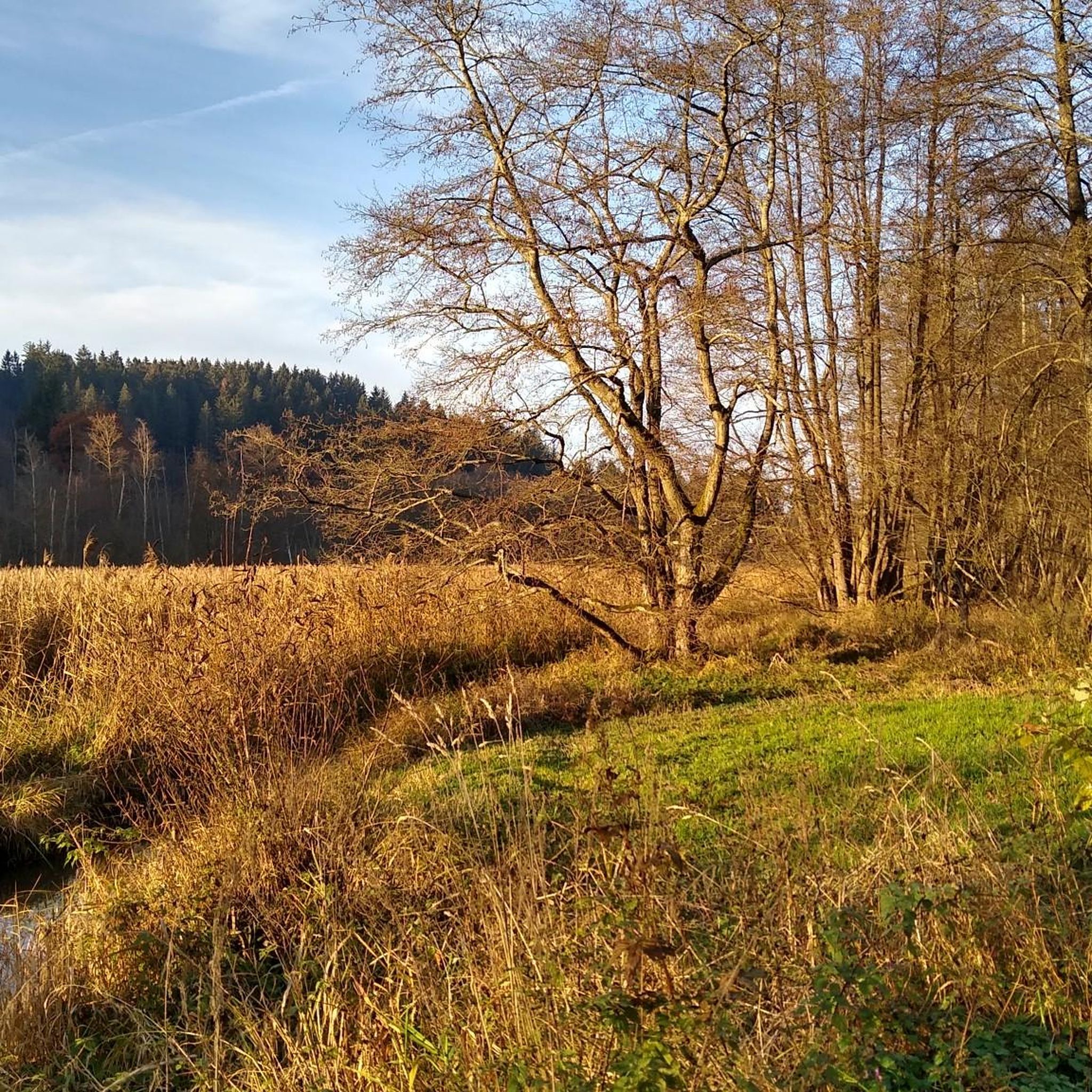
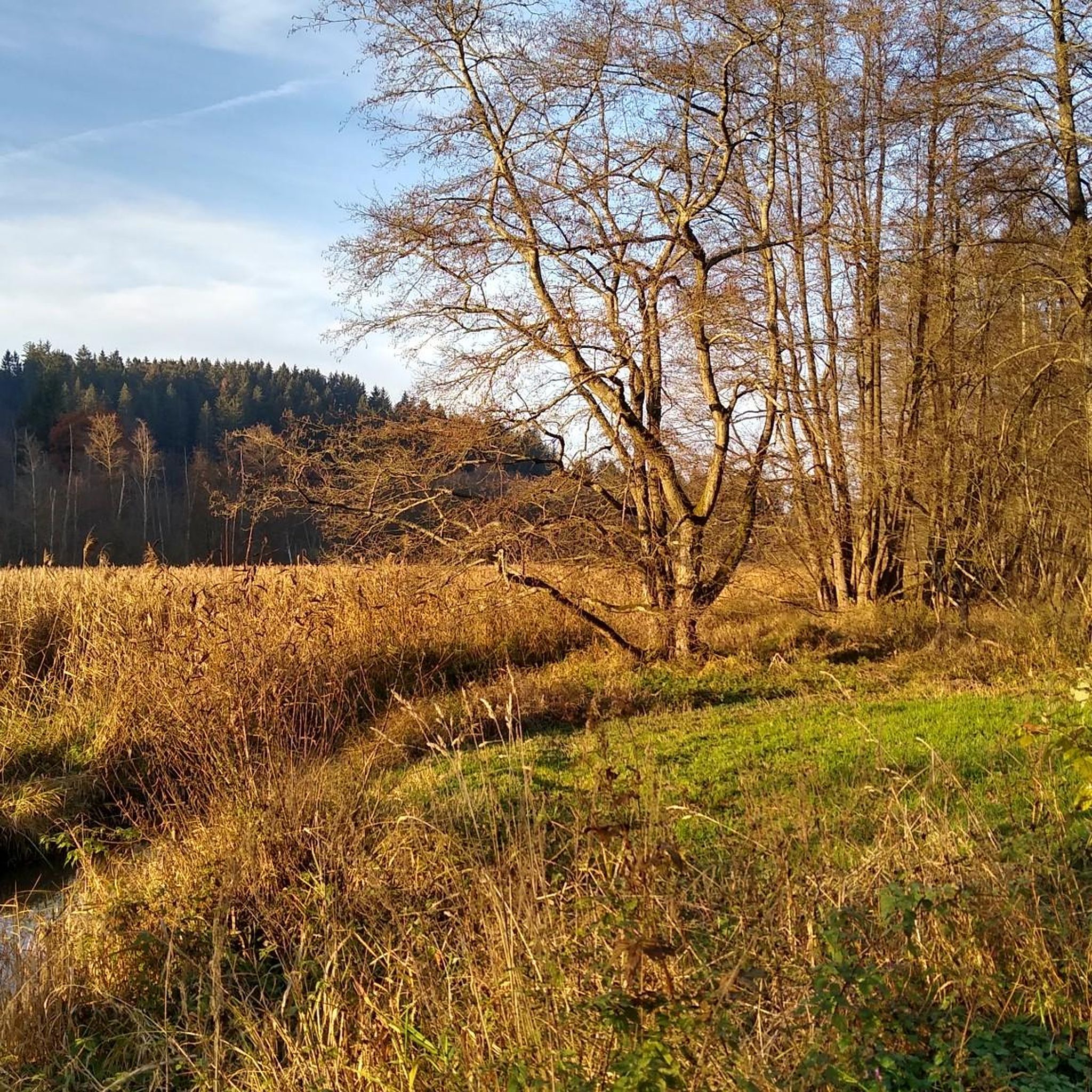
Shortly before the Lengenbach chapel and the tributary of the Weißen Laber, the Lengenbachtal is a wetland biotope worth seeing at approx. 500 m.
0
0
There are bog formations in the valley that began 3000 years ago. A number of endangered animal and plant species exist in the remaining remains of these moors. Part of the valley near Deining is designated as a nature reserve.
1
0
Several rainwater retention basins are located at the top of the Lengenbachtal
0
0
The sandstone rock offers beautiful colors here
1
0
The path leads through the beautiful Lengenbachtal
0
0
Frequently Asked Questions
How many running routes are available around Deining, and what are their difficulty levels?
Deining offers a diverse network of 23 running routes. The majority, 22 routes, are classified as moderate, providing a good challenge for most runners. There is also 1 easy route available, perfect for beginners or a more relaxed pace.
What kind of terrain can I expect on the running trails in Deining?
The running trails around Deining feature a varied landscape of rolling hills and extensive forests. You'll primarily encounter natural paths like dirt, grass, and gravel, which are often preferred for their lower impact on joints. Some sections may also include paved surfaces, offering a smoother running experience.
Are there many circular running routes in Deining?
Yes, many of the running paths in Deining are designed as loops, allowing you to start and finish at the same point. For example, the popular View of Lengenbach Valley – Lengenbachtal Spring loop from St. Helena and the Running loop from Großalfalterbach are excellent circular options.
What do other runners enjoy most about jogging in Deining?
The komoot community highly rates the running experience in Deining, with an average score of 4.4 stars from 5 reviews. Runners often praise the unspoiled nature, serene surroundings, and the diverse terrain of rolling hills and dense forests that make for an engaging outdoor workout.
Are there any interesting landmarks or sights along the jogging routes in Deining?
While specific jogging routes don't always directly pass every landmark, the region itself is rich in natural beauty and historical sites. You might find routes that offer views of the historic rock cellars, such as the Rock cellars near Deining loop from Deining (Oberpf). The broader area also features castles like Wolfstein and Wildenstein, which provide breathtaking views over the landscape, and could be incorporated into longer runs or explored separately. You can also find highlights like the Heinzburg Ruins on Schlossberg or the Wolfsteinalm Cabin nearby.
Are there any easy running routes suitable for beginners in Deining?
Yes, while most routes are moderate, there is 1 easy running route available in Deining. These paths are ideal for beginners, those looking for a gentle workout, or families wanting to enjoy a leisurely run together through the scenic landscape.
Can I find places to rest or get refreshments along the running trails?
While specific cafes directly on every running trail are not detailed, the region offers various huts and shelters. For example, you might find the Wolfsteinalm Cabin or the Schweizer-Häusl Shelter in the vicinity, which can serve as good resting points. For more substantial refreshments, you would typically find options in the villages themselves.
What are some of the longer running options available in Deining?
For those looking for longer runs, the Rock cellars near Deining loop from Deining is a good option, covering approximately 9.8 kilometers (6.1 miles). Another substantial route is the Rock cellars near Deining loop from Deining (Oberpf), which is about 8.6 kilometers (5.3 miles) long.
Is Deining a good place for running if I enjoy varied elevations?
Absolutely. Deining is characterized by its rolling hills, which means you'll encounter varying elevations on the running trails. These range from gentle slopes to more challenging ascents, allowing you to tailor your workout to your desired intensity and enjoy diverse views.
Are there any running routes that offer views of water or lakes?
While specific routes directly alongside large lakes aren't highlighted, the region's unspoiled nature includes the presence of bathing lakes in summer. This suggests potential for picturesque routes that incorporate waterside views, adding another dimension to the jogging landscape. You might find paths that offer glimpses of water features, especially in warmer months.
What is a popular moderate running route in Deining?
A top favorite among local runners is the Running loop from Großalfalterbach. This moderate 8.1-kilometer (5.0-mile) path winds through the region's characteristic rolling hills and forests, offering a great balance of challenge and scenic beauty.
How can I find parking near the running trails in Deining?
While specific parking details for every trailhead are not provided, most komoot routes, especially those starting from villages or popular access points, will indicate suitable parking options. It's advisable to check the individual route details on komoot for specific starting points and parking information.
Most popular attractions around Deining

Get inspired with the komoot mobile app


Explore more
Browse the best Running Trails & Routes in other regions.
