The best mountain hikes around Waffenbrunn
12
hikers
3
hikes
Mountaineering routes around Waffenbrunn traverse the forested, low-mountain terrain of the Upper Palatinate region within Germany's extensive Bavarian Forest. This area is characterized by numerous accessible peaks offering panoramic views and diverse landscapes. The region features engaging challenges, including scrambling sections on some summits, and varied elevation gains across its network of trails.
Best mountaineering routes around Waffenbrunn
- The most popular mountaineering route is Three Coats of Arms – Kreuzfelsen Summit (Gibacht) loop from Gibacht, a 3.6 miles (5.8…
Last updated: July 5, 2026
7
hikers
5.75km
01:37
110m
110m
Moderate mountaineering route. Great for any fitness level. Mostly accessible paths. Sure-footedness required.
1
hikers
Moderate mountaineering route. Good fitness required. Mostly accessible paths. Sure-footedness required.

Sign up for free
2
hikers
Easy mountaineering route. Great for any fitness level. Easily-accessible paths. Suitable for all skill levels.
2
hikers
5.94km
01:59
280m
280m
Moderate mountaineering route. Great for any fitness level. Mostly accessible paths. Sure-footedness required.
Our route recommendations are based on thousands of hikes, rides, and runs completed by other people on komoot.
Start today with a free account
Your next adventure awaits.
Login or Signup
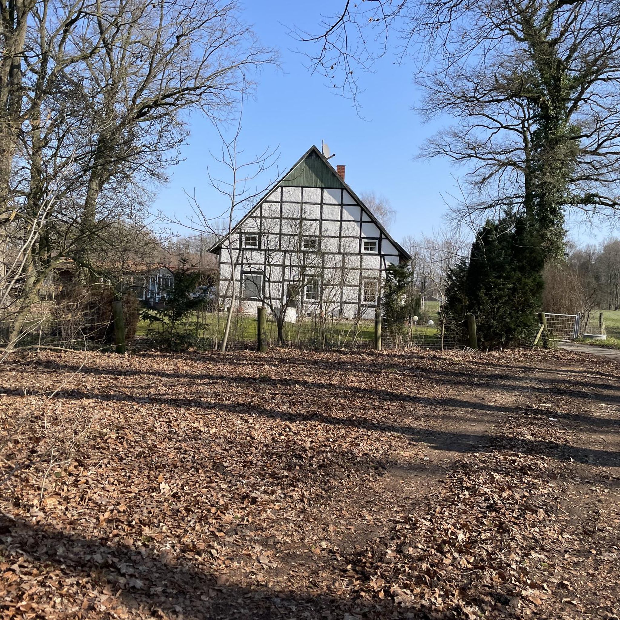
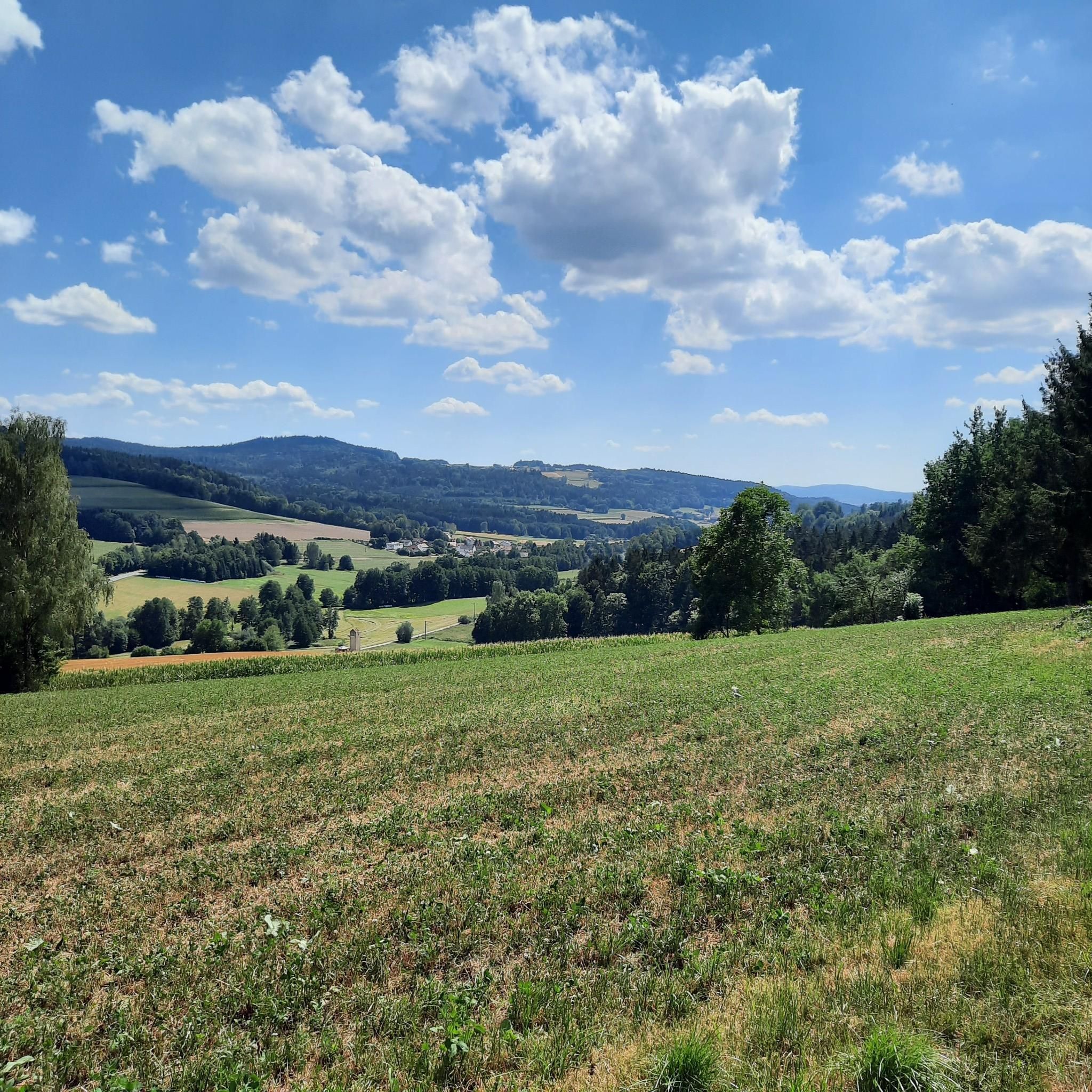
Tips from the Community


can be easily overlooked, especially when going downhill from Gibacht
0
0

Great place for a picnic
0
0
Nice information board along the way
0
0


It is located on the route and is a nice accessory.
0
0

I wouldn't make a special detour. If you're looking for a sheltered place, it's fine.
0
0
Frequently Asked Questions
How many mountaineering routes are available around Waffenbrunn?
This guide features 3 distinct mountaineering routes around Waffenbrunn. However, the broader Bavarian Forest region offers an extensive network of trails, providing a diverse range of options for outdoor enthusiasts.
Are there mountaineering routes suitable for beginners or families in Waffenbrunn?
Yes, there are several routes suitable for those seeking a less strenuous experience or for families. For example, the Dachsriegel Mountain Hut – Rock Labyrinth Near Lixenried loop from Ponnholzbachtal is a moderate 4.3-mile path that leads through varied terrain. Another moderate option is the Reiseck Summit Cross – Lighthouse of Humanity loop from Lixenried, which is 2.6 miles long and takes you to a unique monument.
What kind of challenging routes can I find for mountaineering in Waffenbrunn?
For those seeking a challenge, the region offers routes with more demanding sections. The Three Coats of Arms – Kreuzfelsen Summit (Gibacht) loop from Gibacht is a difficult 3.6-mile trail that includes a cable-secured scramble to the Kreuzfelsen Summit, rewarding you with superb panoramic vistas.
What unique natural features or landmarks can I expect to see on these routes?
The routes around Waffenbrunn offer several interesting sights. You can visit the unique Lighthouse of Humanity at Tannenriegel, a monument symbolizing peace. Another highlight is the Kreuzfelsen Summit (Gibacht), known for its panoramic views. You might also encounter the Glass summit cross on the Reiseck or the intriguing Pfennigfelsen (Penny Rock).
Are there any viewpoints offering panoramic vistas along the mountaineering trails?
Absolutely! The region is known for its rewarding views. The Kreuzfelsen Summit (Gibacht) offers superb panoramic vistas after a short scramble. Additionally, the Klammerfels Lookout Tower is another excellent spot to enjoy expansive views of the surrounding Bavarian Forest.
Are the mountaineering routes around Waffenbrunn typically circular (loop) routes?
Yes, many of the mountaineering routes in this guide are designed as circular paths, allowing you to start and end at the same point without retracing your steps. All the routes featured in this guide, such as the Three Coats of Arms – Kreuzfelsen Summit (Gibacht) loop and the Dachsriegel Mountain Hut – Rock Labyrinth Near Lixenried loop, are loops.
What is the best time of year for mountaineering in Waffenbrunn?
The region around Waffenbrunn offers diverse outdoor experiences throughout the year. While specific conditions vary, the extensive network of trails is generally enjoyable from spring through autumn. For winter mountaineering, it's advisable to check local conditions as some routes may require specific gear or experience due to snow and ice.
Are there opportunities for more technical climbing near Waffenbrunn?
While Waffenbrunn itself is primarily known for hiking and mountain tours, the broader district of Cham offers sport climbing opportunities. Popular climbing areas like Falkenstein, Rötzberg, and Hohenstein provide a range of routes suitable for various skill levels, from beginners to experienced climbers.
Are there any less crowded mountaineering routes or hidden gems around Waffenbrunn?
While all routes offer a chance to connect with nature, for a potentially quieter experience, consider exploring routes that might be slightly off the most popular paths. The Reiseckbrünnerl – Stone Spring loop from Voithenberg is a moderate 3.7-mile route that takes you through forested landscapes to a stone spring, offering a peaceful journey.
What is the typical elevation gain on mountaineering routes in Waffenbrunn?
The elevation gain varies significantly across routes, catering to different fitness levels. Some routes, like the Dachsriegel Mountain Hut – Rock Labyrinth Near Lixenried loop, involve an elevation gain of around 345 meters. More challenging routes can have up to 900 meters of elevation gain, requiring good fitness and sure-footedness.
Are there any places to eat or drink near the mountaineering routes in Waffenbrunn?
While specific cafes or pubs directly on the trails are not detailed, the village of Waffenbrunn and surrounding towns in the Upper Palatinate region offer various dining options where you can refuel after your mountaineering adventure. It's always a good idea to check local listings for current opening hours.
What kind of terrain should I expect on the mountaineering routes around Waffenbrunn?
The terrain around Waffenbrunn is characterized by forested, low-mountain landscapes within the extensive Bavarian Forest. You can expect a mix of well-maintained paths, forest tracks, and some more rugged sections, including occasional scrambling passages on certain summits like the Kreuzfelsen.
Most popular routes around Waffenbrunn
Most popular attractions around Waffenbrunn

Get inspired with the komoot mobile app


Explore more
Browse the best Mountain Hikes & Routes in other regions.
