The best mountain hikes around Grafenwiesen
4.8
(40)
243
hikers
26
hikes
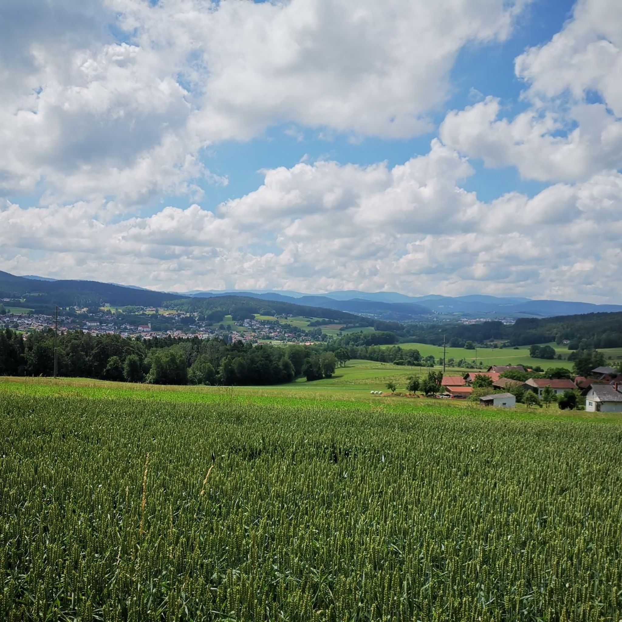
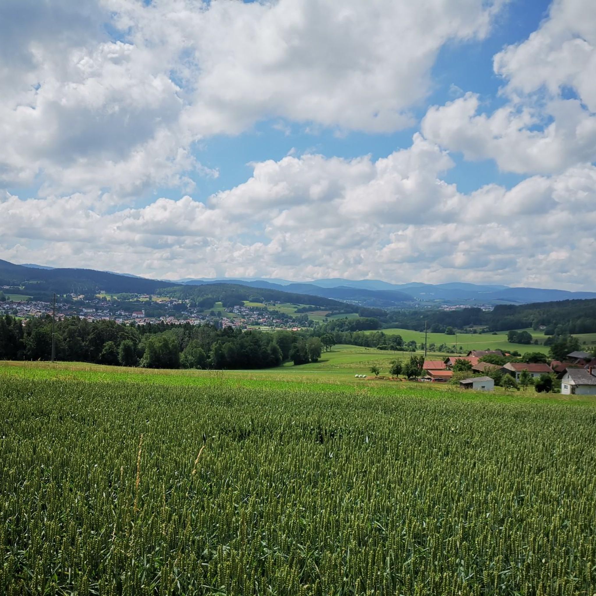
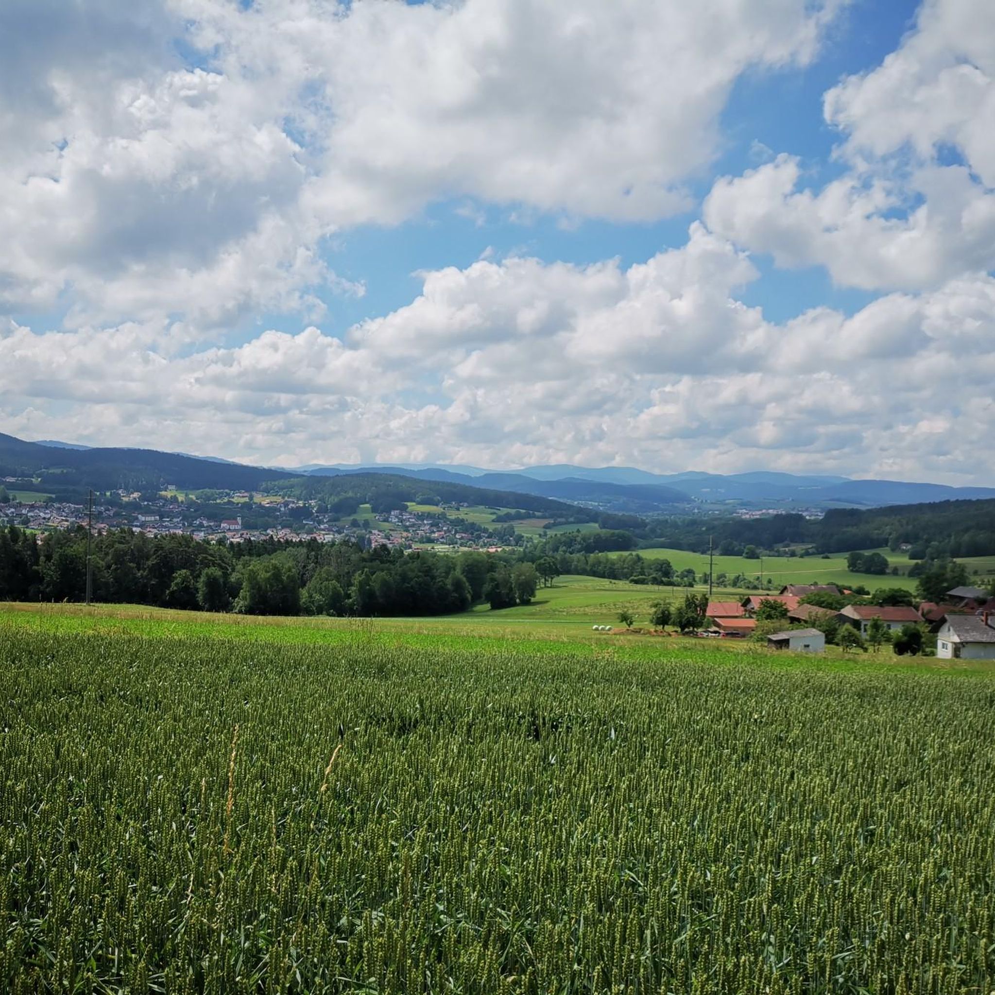
Mountaineering routes around Grafenwiesen are situated within the Bavarian Forest, a region characterized by dense forests, rolling hills, and prominent rock formations. The area lies between the Kaitersberg and Hohenbogen mountain ranges, offering diverse terrain for ascents. Peaks like Kreuzfelsen and Großer Riedelstein provide elevated viewpoints over the surrounding landscape. The natural features include extensive woodlands and striking rock formations such as Rauchröhren.
Best mountaineering routes around Grafenwiesen
- The most popular mountaineering route is Cross rocks – Ascent to the…
Last updated: August 2, 2026
5.0
(1)
16
hikers
6.16km
02:38
320m
320m
Hard mountaineering route. Good fitness required. Sure-footedness, sturdy shoes and alpine experience required.
8
hikers
12.7km
04:21
450m
440m
Hard mountaineering route. Good fitness required. Sure-footedness, sturdy shoes and alpine experience required.

Sign up for free
4.3
(3)
15
hikers
10.6km
04:00
540m
540m
Hard mountaineering route. Good fitness required. Sure-footedness, sturdy shoes and alpine experience required.
4.7
(3)
6
hikers
13.2km
05:04
540m
540m
Hard mountaineering route. Very good fitness required. Sure-footedness, sturdy shoes and alpine experience required.
6
hikers
3.39km
01:32
230m
230m
Hard mountaineering route. Great for any fitness level. Sure-footedness, sturdy shoes and alpine experience required.
Get access to more routes and recommendations from other explorers.
Sign up for free
Already have an account?
Our route recommendations are based on thousands of hikes, rides, and runs completed by other people on komoot.
Start today with a free account
Your next adventure awaits.
Login or Signup


Other adventures around Grafenwiesen

Tips from the Community

... Gesenke sounds so friendly and harmless, but this saddle should not be underestimated ...
0
0

You should also take a break in between
0
0

very interesting construction! 😃
0
0

Finally a stylish bench to take a break from. Invites you to linger.
0
0
Nice idea, near the Kreuzfelsen (999m).
1
0

Great signpost something you rarely see on a mountain top.
5
0

Climbing area "Glass Shards Quarter" was closed for safety reasons, and a protection zone for the lynx was set up.
5
0
Very nice view of the Bavarian Forest, the small detour is worth it. From the 2 benches you can enjoy the magnificent view particularly well during a break.
5
0
Frequently Asked Questions
How many mountaineering routes are available around Grafenwiesen?
There are over 25 mountaineering routes around Grafenwiesen, offering a variety of experiences within the Bavarian Forest. These routes are highly rated by the komoot community, with an average score of 4.8 stars from over 30 reviews.
What kind of terrain can I expect on mountaineering routes near Grafenwiesen?
Mountaineering routes near Grafenwiesen are characterized by dense forests, rolling hills, and prominent rock formations. The region is nestled between the Kaitersberg and Hohenbogen mountain ranges, offering diverse landscapes from extensive woodlands to striking features like the Rauchröhren rock formation.
Are there any family-friendly mountaineering options in Grafenwiesen?
While many mountaineering routes in the immediate vicinity are rated as difficult, the broader Grafenwiesen area offers a range of outdoor activities suitable for families. For a less strenuous, interactive experience, consider the Naturerlebnispfad Grafenwiesen, a 3 km circular nature discovery trail with 15 stations. For mountaineering, look for routes explicitly marked as moderate or easy on komoot, though these are less common for dedicated mountaineering in this specific guide.
What are some notable landmarks or viewpoints along the mountaineering routes?
Many routes offer stunning views and pass by significant landmarks. You might encounter the Cross rocks, a prominent summit, or the distinctive Rauchröhren rock formation. The Great Riedelstein, the highest elevation of the Kaitersberg, also offers fantastic panoramic vistas.
Are there any circular mountaineering routes available?
Yes, several routes are designed as loops, allowing you to start and end at the same point. One such option is the difficult Rauchröhren rock formations – Cross Rock loop from Reitenberg, which covers 12.3 km and features distinctive rock formations and views from Cross Rock.
Can I find places to stop for refreshments or accommodation along the routes?
Yes, some routes pass by huts or inns where you can take a break. For instance, the Cross rocks – Kötztinger Hut loop from Bad Kötzting leads through varied terrain and includes the Kötztinger Hut. Other options in the wider area include the Hohenbogen Mountain Inn and Haidsteiner Hut.
What is the best time of year for mountaineering in Grafenwiesen?
The Bavarian Forest region around Grafenwiesen is beautiful year-round. While summer and autumn offer ideal conditions for mountaineering with pleasant temperatures and clear views, winter transforms the area into a paradise for snow sports. For mountaineering, late spring to early autumn generally provides the most accessible and enjoyable conditions.
Are there any routes that offer a significant challenge?
Absolutely. The majority of mountaineering routes around Grafenwiesen are rated as difficult, providing a good challenge for experienced hikers. For example, the Cross Rock – Rauchröhren rock formations loop from Reitenberg is a demanding 12.9 km route with over 540 meters of elevation gain.
Are dogs allowed on the mountaineering trails?
Generally, dogs are welcome on hiking and mountaineering trails in the Bavarian Forest, provided they are kept on a leash and you clean up after them. It's always advisable to check specific trail regulations or local signage, especially in nature reserves, but most public trails are dog-friendly.
Where can I find parking for these mountaineering routes?
Many trailheads, particularly those starting from towns like Reitenberg or Bad Kötzting, offer designated parking areas. For instance, routes like the Cross rocks – Ascent to the Räuber-Heigl Cave loop from Reitenberg typically have parking available at their starting points. It's recommended to check the specific tour details on komoot for parking information for each route.
Are there any routes with less elevation gain for a more moderate experience?
While many routes are challenging, there are some options with less extreme elevation changes. For example, the Cross Rock – Kreuzfelsen Summit (999 m) loop from Reitenberg is a shorter, difficult route at 3.1 km with around 200 meters of elevation gain, offering a quicker ascent to a prominent peak.
Most popular routes around Grafenwiesen
Most popular attractions around Grafenwiesen

Get inspired with the komoot mobile app


Explore more
Browse the best Mountain Hikes & Routes in other regions.
