The best mountain hikes around Chamerau
4.7
(11)
72
hikers
9
hikes
Mountaineering routes around Chamerau are characterized by a landscape of rocky outcrops, dense woodlands, and varied elevations. The region features prominent rock formations and summits, offering challenging ascents for experienced mountaineers. These routes often traverse through forested areas, leading to scenic viewpoints and notable geological features.
Best mountaineering routes around Chamerau
- The most popular mountaineering route is Cross rocks – Ascent to the Räuber-Heigl Cave loop from Reitenberg, a 3.8 miles (6.1 km) trail that takes 2 hours 31…
Last updated: August 2, 2026
5.0
(1)
16
hikers
6.16km
02:38
320m
320m
Hard mountaineering route. Good fitness required. Sure-footedness, sturdy shoes and alpine experience required.
8
hikers
12.7km
04:21
450m
440m
Hard mountaineering route. Good fitness required. Sure-footedness, sturdy shoes and alpine experience required.

Sign up for free
4.3
(3)
15
hikers
10.6km
04:00
540m
540m
Hard mountaineering route. Good fitness required. Sure-footedness, sturdy shoes and alpine experience required.
4.7
(3)
6
hikers
13.2km
05:04
540m
540m
Hard mountaineering route. Very good fitness required. Sure-footedness, sturdy shoes and alpine experience required.
6
hikers
3.39km
01:32
230m
230m
Hard mountaineering route. Great for any fitness level. Sure-footedness, sturdy shoes and alpine experience required.
Get access to more routes and recommendations from other explorers.
Sign up for free
Already have an account?
Our route recommendations are based on thousands of hikes, rides, and runs completed by other people on komoot.
Start today with a free account
Your next adventure awaits.
Login or Signup
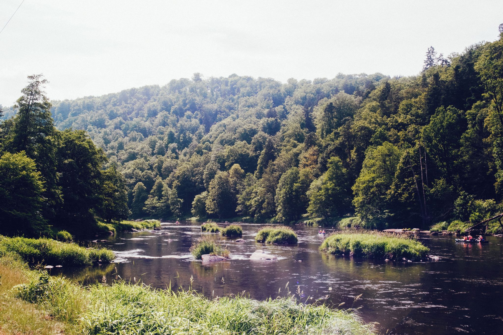
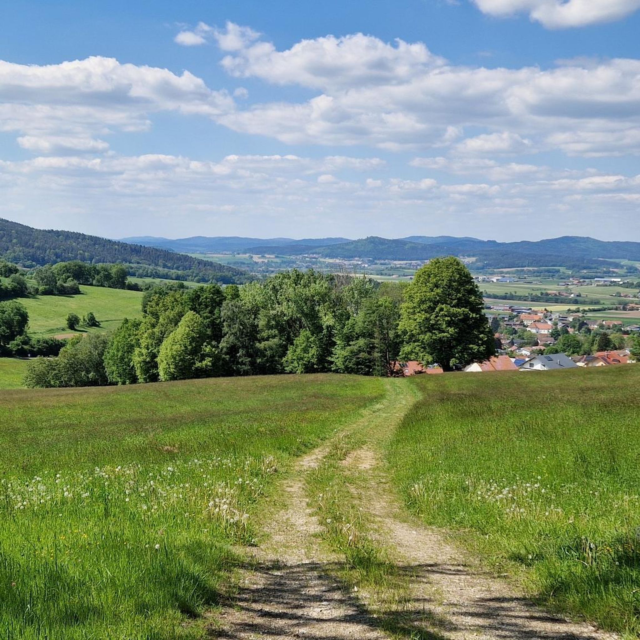
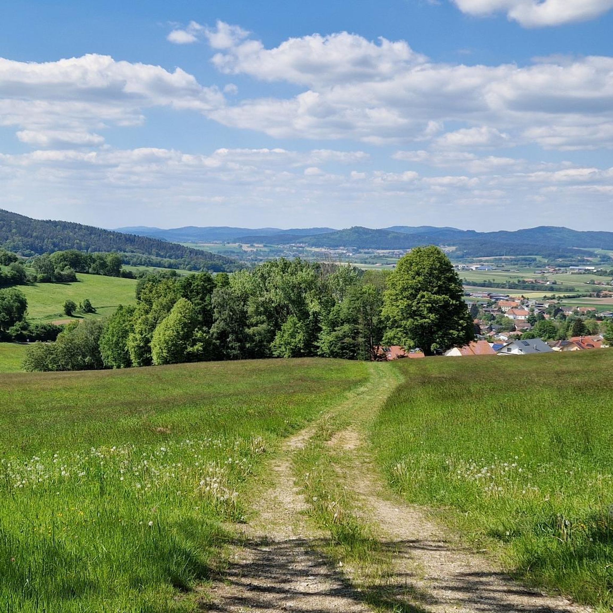
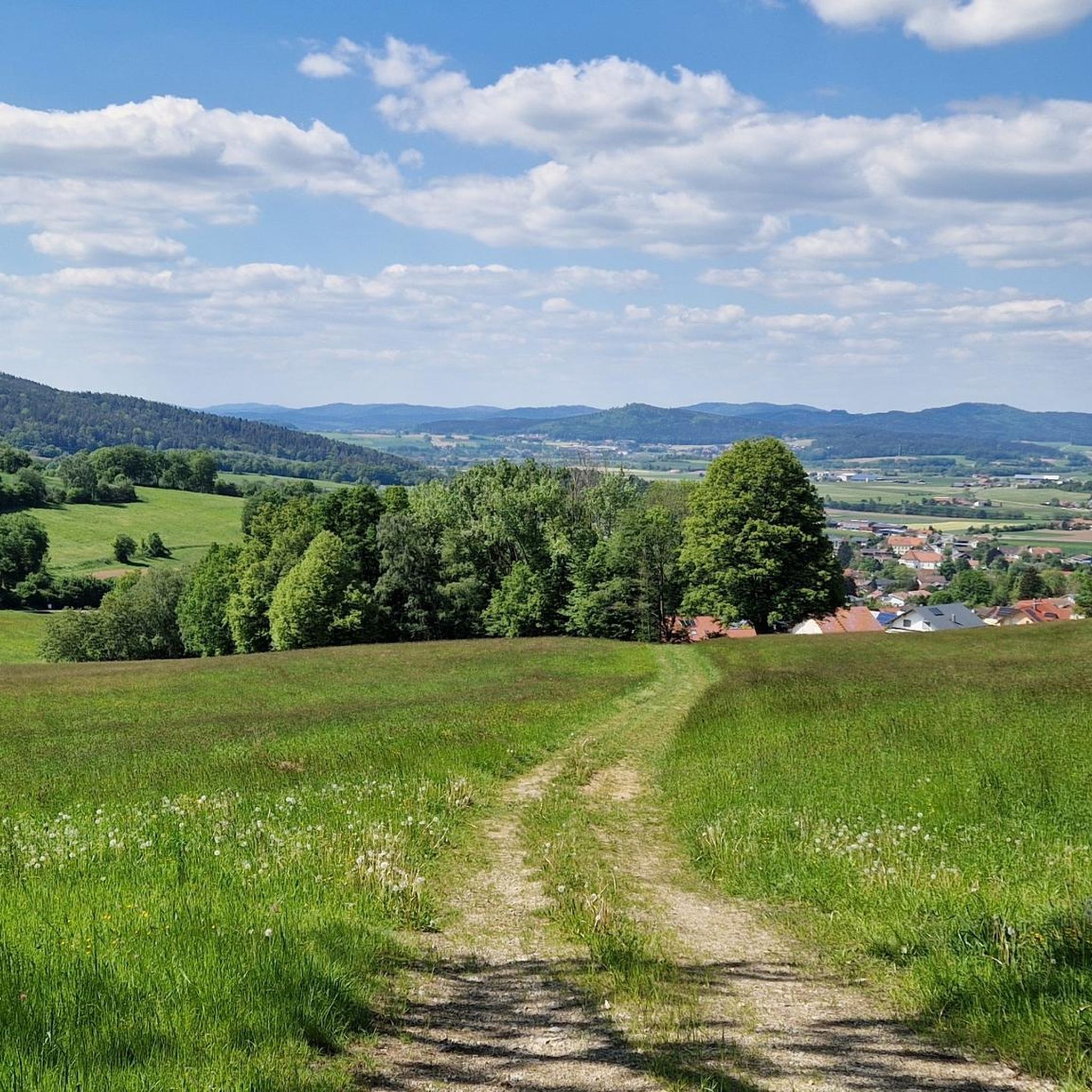

Other adventures around Chamerau

Tips from the Community

... Gesenke sounds so friendly and harmless, but this saddle should not be underestimated ...
0
0

You should also take a break in between
0
0

very interesting construction! 😃
0
0

Finally a stylish bench to take a break from. Invites you to linger.
0
0
Nice idea, near the Kreuzfelsen (999m).
1
0

Great signpost something you rarely see on a mountain top.
5
0

Climbing area "Glass Shards Quarter" was closed for safety reasons, and a protection zone for the lynx was set up.
5
0
Very nice view of the Bavarian Forest, the small detour is worth it. From the 2 benches you can enjoy the magnificent view particularly well during a break.
5
0
Frequently Asked Questions
What is the overall difficulty of mountaineering routes around Chamerau?
Mountaineering around Chamerau is primarily suited for experienced adventurers. The region features 7 difficult routes, characterized by challenging rock formations and forested ascents. There are also 2 moderate routes available for those looking for a slightly less demanding experience.
Are there any beginner-friendly mountaineering routes in Chamerau?
While most routes in Chamerau are rated as difficult, there are 2 moderate mountaineering routes available. These still offer a good challenge but might be more accessible for those with some prior experience looking to advance their skills in the region's rocky and forested terrain.
What kind of terrain can I expect on mountaineering routes in Chamerau?
The routes around Chamerau are defined by a diverse landscape of rocky outcrops, dense woodlands, and varied elevations. You'll encounter prominent rock formations, challenging ascents, and often traverse through forested areas leading to scenic viewpoints and notable geological features.
Are there any circular mountaineering routes available?
Yes, many of the mountaineering routes in Chamerau are designed as loops, offering a convenient way to explore the area. For example, the Rauchröhren rock formations – Cross Rock loop from Reitenberg is a difficult 7.7-mile (12.3 km) path that explores distinctive rock formations and offers expansive views.
What are some notable landmarks or attractions I can see along the routes?
Mountaineering routes in Chamerau often lead to impressive natural and historical sights. You might encounter the prominent Cross rocks, or pass by the Mittagstein War Memorial Chapel. Some routes also offer views from the NATO Towers – Fernmeldesektor F Observation Platform.
Are there any routes that include a hut or a place to stop for refreshments?
Yes, the Cross rocks – Kötztinger Hut loop from Bad Kötzting is a 6.6-mile (10.6 km) difficult trail that leads through rocky terrain and forests directly to the Hohenbogen Mountain Inn (Kötztinger Hut), offering a perfect spot for a break.
What do other mountaineers say about the routes in Chamerau?
The mountaineering routes in Chamerau are highly regarded by the komoot community, holding an average rating of 4.7 stars from over 10 reviews. Many users appreciate the challenging rock formations and the rewarding views from various summits.
How long do mountaineering routes in Chamerau typically take to complete?
The duration of routes varies depending on their length and difficulty. For instance, the Cross rocks – Ascent to the Räuber-Heigl Cave loop from Reitenberg, a 3.8-mile (6.1 km) difficult trail, typically takes around 2 hours 31 minutes. Longer routes, like the Cross Rock – Rauchröhren rock formations loop from Reitenberg (8 miles / 12.9 km), can take up to 5 hours.
Is it possible to bring dogs on the mountaineering trails in Chamerau?
While specific regulations for dogs on these trails are not detailed, generally, dogs are welcome on most public trails in the region, provided they are kept under control, especially in areas with wildlife or livestock. Always ensure your dog is fit enough for challenging terrain and carry enough water for both of you.
What is the best season for mountaineering in Chamerau?
The best season for mountaineering in Chamerau is typically from late spring to early autumn (May to October), when the weather is more stable and trails are clear of snow and ice. During these months, you can fully enjoy the forested areas and rocky ascents. Always check local weather forecasts before heading out.
Are there any hidden gems or less-traveled routes in the area?
For a route that offers a significant challenge and leads to a notable summit, consider the Cross Rock – Kreuzfelsen Summit (999 m) loop from Reitenberg. This 2-mile (3.1 km) difficult route offers a focused ascent to the Kreuzfelsen Summit, providing a rewarding experience away from the most popular paths.
Most popular routes around Chamerau
Most popular attractions around Chamerau

Get inspired with the komoot mobile app


Explore more
Browse the best Mountain Hikes & Routes in other regions.
