The best mountain hikes around Arnschwang
4.8
(16)
93
hikers
16
hikes
Mountaineering routes around Arnschwang are situated between the Bavarian Forest and the Bohemian Forest, offering a diverse natural landscape for outdoor enthusiasts. The region features varied terrain with significant peaks like Kreuzfelsen, which reaches 999 meters, and Hohenbogen Mountain. These areas are characterized by rocky summits, dense forests, and low mountain ranges, providing opportunities for challenging ascents and scenic vistas.
Best mountaineering routes around Arnschwang
- The most popular mountaineering route is Cross rocks – Ascent to the Räuber-Heigl Cave loop…
Last updated: October 9, 2026
5.0
(1)
16
hikers
6.15km
02:31
290m
290m
Hard mountaineering route. Good fitness required. Sure-footedness, sturdy shoes and alpine experience required.
8
hikers
12.7km
04:21
450m
440m
Hard mountaineering route. Good fitness required. Sure-footedness, sturdy shoes and alpine experience required.

4.3
(3)
14
hikers
10.6km
04:00
540m
540m
Hard mountaineering route. Good fitness required. Sure-footedness, sturdy shoes and alpine experience required.
5.0
(2)
10
hikers
Moderate mountaineering route. Good fitness required. Mostly accessible paths. Sure-footedness required.
4.7
(3)
6
hikers
13.2km
05:04
540m
540m
Hard mountaineering route. Very good fitness required. Sure-footedness, sturdy shoes and alpine experience required.
Get access to more routes and recommendations from other explorers.
Already have an account?
Our route recommendations are based on thousands of hikes, rides, and runs completed by other people on komoot.
Start today with a free account
Your next adventure awaits.
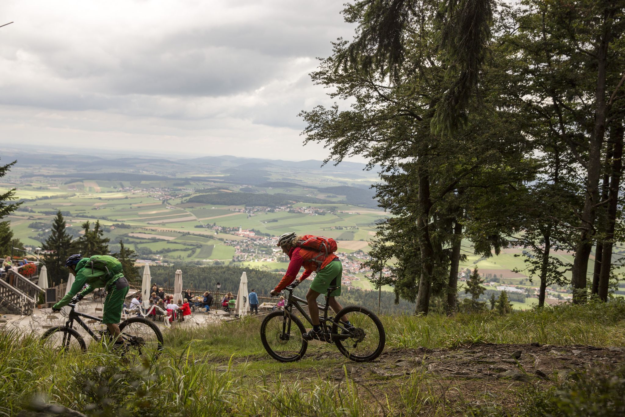
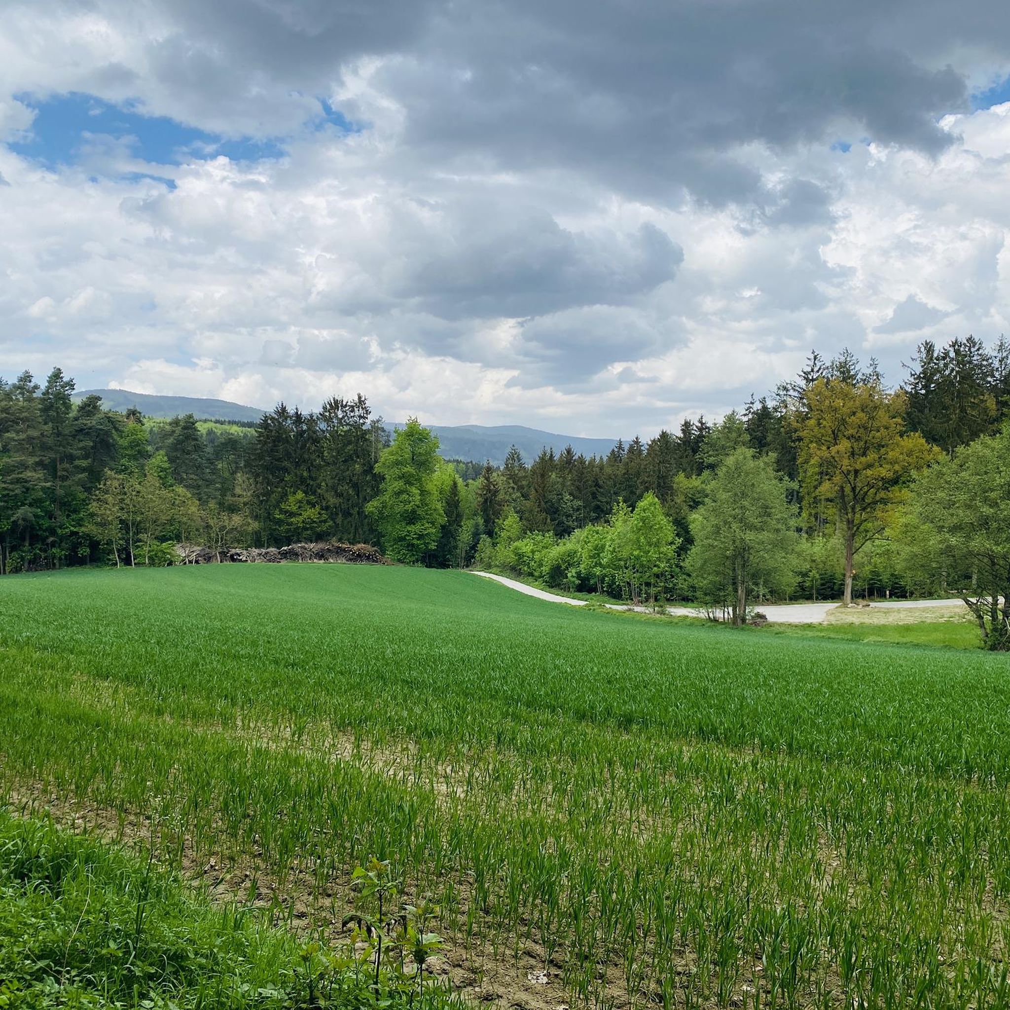
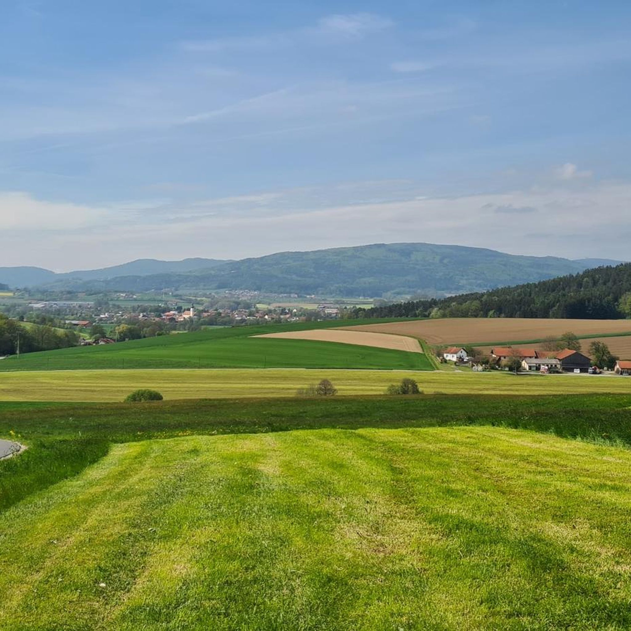
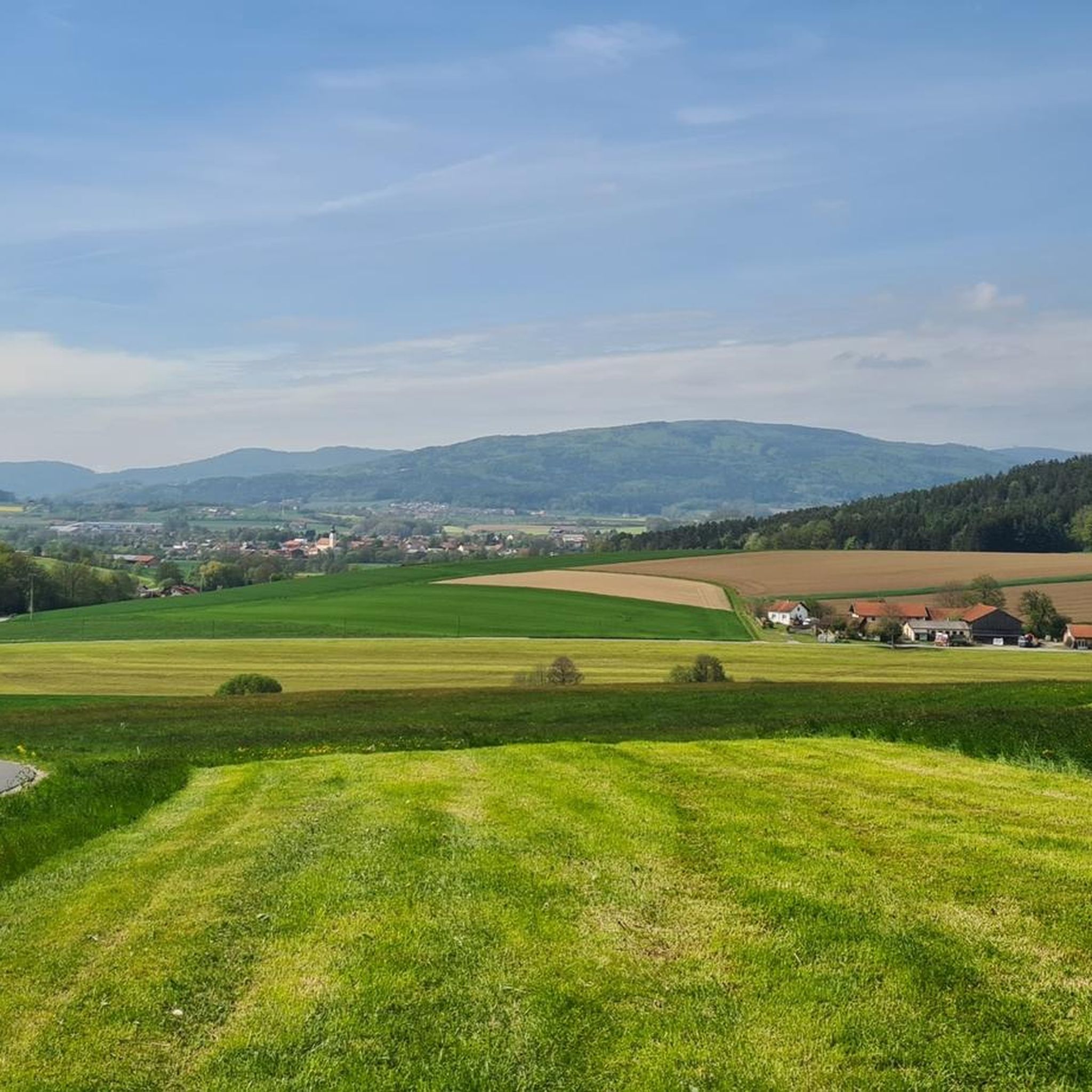

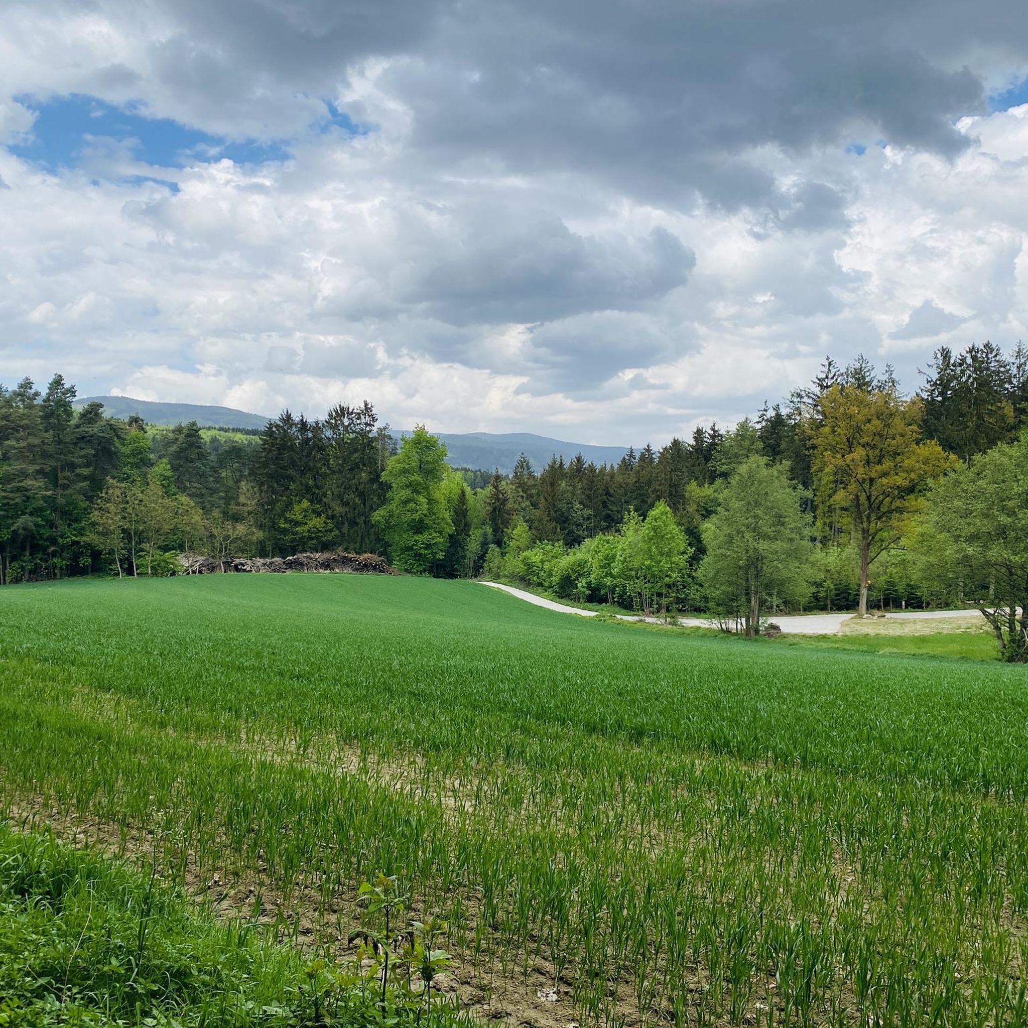
Other adventures around Arnschwang

Tips from the Community

Always worth a visit, super highlight.
0
0

... Gesenke sounds so friendly and harmless, but this saddle should not be underestimated ...
0
0

You should also take a break in between
0
0

Great view, even if only in part.
1
0
Very good economy, delicious food and good drinks at reasonable prices with the best terrace view
2
0
The complex is very impressive. The viewing platform costs €6. Keep your receipt, as you'll need it again to exit. The view is phenomenal. There's a lovely beer garden at the base of the tower.
2
0
You quickly walk past it because the summit is barely visible.
1
0

The easiest way to get there is to take the chairlift from Neukirchen hl Blut up and then walk there and back and take the chairlift down again
1
0
Frequently Asked Questions
How many mountaineering routes are available around Arnschwang?
There are over 15 mountaineering routes around Arnschwang, offering a diverse range of experiences from moderate paths to challenging ascents. The komoot community has explored these trails over 100 times.
What kind of terrain can I expect on mountaineering routes in Arnschwang?
Mountaineering routes in Arnschwang feature varied terrain, including rocky summits, dense forests, and low mountain ranges. You'll encounter significant peaks like Kreuzfelsen, which reaches 999 meters, and some routes even include scrambling passages, such as sections near the Cross rocks.
Are there any challenging mountaineering routes for experienced hikers?
Yes, Arnschwang offers several challenging routes. For instance, the Cross rocks – Ascent to the Räuber-Heigl Cave loop from Reitenberg is a difficult 3.8-mile (6.1 km) trail that includes a scrambling passage. Another demanding option is the Rauchröhren rock formations – Cross Rock loop from Reitenberg, a difficult 7.7-mile (12.3 km) path exploring prominent rock formations.
What are some notable landmarks or viewpoints along the mountaineering routes?
Many routes offer rewarding views and pass by significant landmarks. The Cross rocks and Kreuzfelsen Summit (Gibacht) are prominent features, providing expansive views of the Bavarian Forest. You might also encounter the Lighthouse of Humanity at Tannenriegel or the Glass summit cross on the Reiseck.
Are there any circular mountaineering routes available?
Yes, many mountaineering routes in Arnschwang are designed as loops. For example, the Cross rocks – Kötztinger Hut loop from Bad Kötzting is a 6.6-mile (10.6 km) circular trail leading through varied terrain. Another option is the Cross Rock – Rauchröhren rock formations loop from Reitenberg, a difficult 12.9 km loop.
What do other mountaineers say about the routes in Arnschwang?
The mountaineering routes in Arnschwang are highly rated by the komoot community, with an average score of 4.8 stars from more than 10 reviews. Users often praise the diverse terrain, the challenging ascents, and the rewarding views from summits like Kreuzfelsen.
Are there any moderate mountaineering options for those looking for a less strenuous hike?
While many routes are challenging, there are moderate options available. The Bärenriegel (1,017 m) – Ahornriegel Summit Cross loop from Neukirchen beim Heiligen Blut is a moderate 10.5 km route that still offers significant elevation gain and scenic beauty without the extreme difficulty of some other trails.
Can I find routes that pass by lakes or other water features?
While the primary focus is mountaineering, some routes may offer glimpses of nearby water features. The region is close to lakes such as Lake Blaibach and Dragon Lake, which can be explored separately or as part of extended trips in the area.
What is the best time of year for mountaineering in Arnschwang?
The region's diverse landscape, nestled between the Bavarian and Bohemian Forests, makes it suitable for mountaineering during most of the warmer months. Spring and autumn offer pleasant temperatures and vibrant scenery, while summer provides longer daylight hours. Always check local weather conditions before heading out, especially for higher elevations.
Are there opportunities to combine mountaineering with other outdoor activities?
Absolutely. Arnschwang is part of an extensive network for various outdoor pursuits. Beyond mountaineering, the region offers numerous hiking and cycling routes, including sections of the long-distance Goldsteig trail and mountain biking trails in the Hohenbogenwinkel area. This allows for diverse outdoor experiences.
What kind of views can I expect from the summits in Arnschwang?
From prominent peaks like Kreuzfelsen and Hohenbogen, you can expect expansive panoramic views of the surrounding Bavarian Forest and the low mountain ranges. These vistas often include distant towns, dense forests, and rolling hills, providing a rewarding perspective after your ascent.
Most popular routes around Arnschwang
Most popular attractions around Arnschwang

Get inspired with the komoot mobile app


Explore more
Browse the best Mountain Hikes & Routes in other regions.
