The best running trails around Birgland
4.4
(413)
6,702
runners
354
runs
Jogging around Birgland offers a diverse landscape for runners. The region is characterized by varied topography, including gentle paths and more challenging elevated routes. It features natural scenery with opportunities for trail running across hills and through open countryside. This environment provides a range of running routes suitable for different fitness levels.
Best jogging routes around Birgland
- The most popular jogging route is Running loop from Lauterhofen, an 8.1 miles (13.1 km) trail that takes 1 hour 21 minutes…
Last updated: July 18, 2026
3.0
(2)
25
runners
13.1km
01:23
110m
110m
Moderate run. Good fitness required. Mostly paved surfaces. Suitable for all skill levels.
8
runners
40.0km
04:38
820m
820m
Hard run. Very good fitness required. Mostly paved surfaces. Suitable for all skill levels.

Sign up for free
5.0
(2)
6
runners
9.87km
01:05
190m
190m
Moderate run. Good fitness required. Mostly paved surfaces. Suitable for all skill levels.
4.0
(1)
5
runners
Moderate run. Good fitness required. Mostly paved surfaces. Suitable for all skill levels.
4
runners
11.3km
01:13
140m
140m
Moderate run. Good fitness required. Mostly paved surfaces. Suitable for all skill levels.
Get access to more routes and recommendations from other explorers.
Sign up for free
Already have an account?
Our route recommendations are based on thousands of hikes, rides, and runs completed by other people on komoot.
Start today with a free account
Your next adventure awaits.
Login or Signup
Popular around Birgland

Nature, the outdoors and adventure – hiking through the VGN's nature parks
11 Days on the Erzweg Quality Hiking Trail
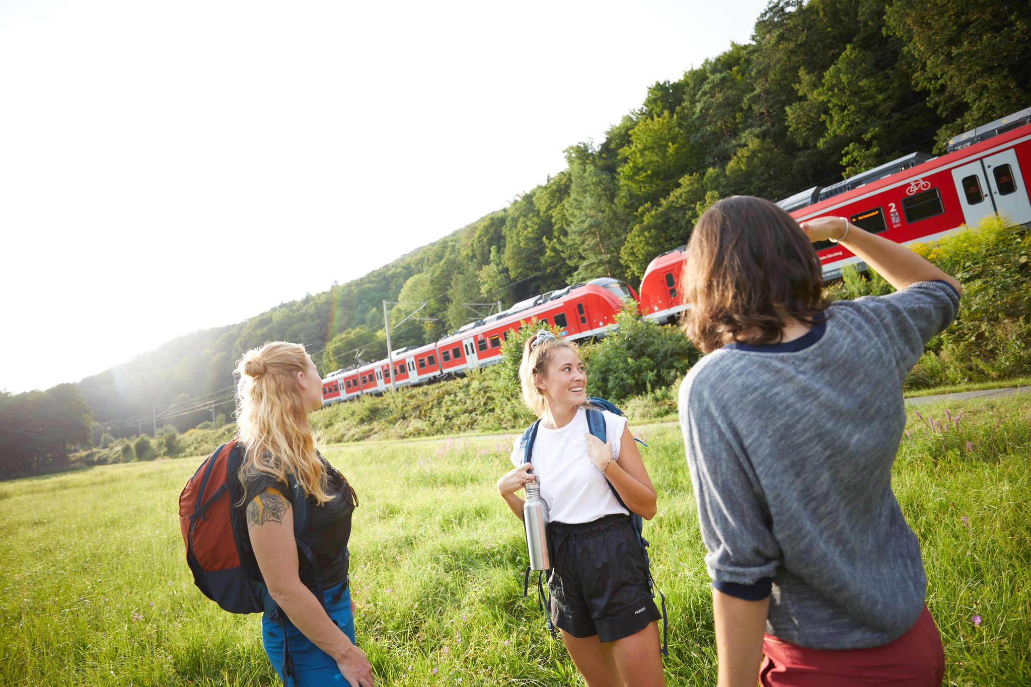
All aboard for summer hiking with Germany’s VGN
Full of views and fun – VGN leisure tips 2022
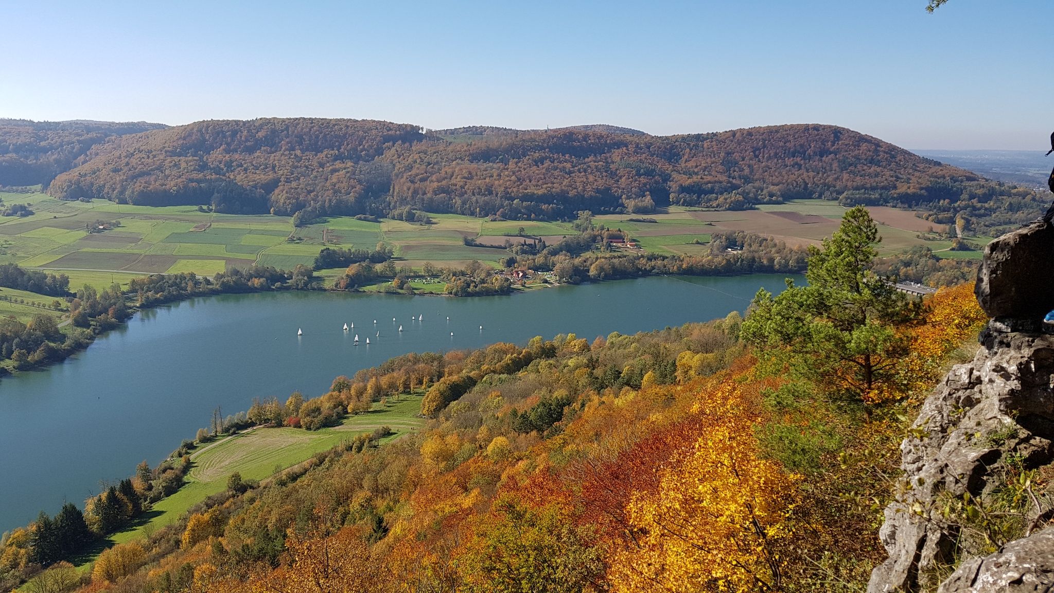
Colourful leaves & gentle hills – hiking in autumn in Franconia
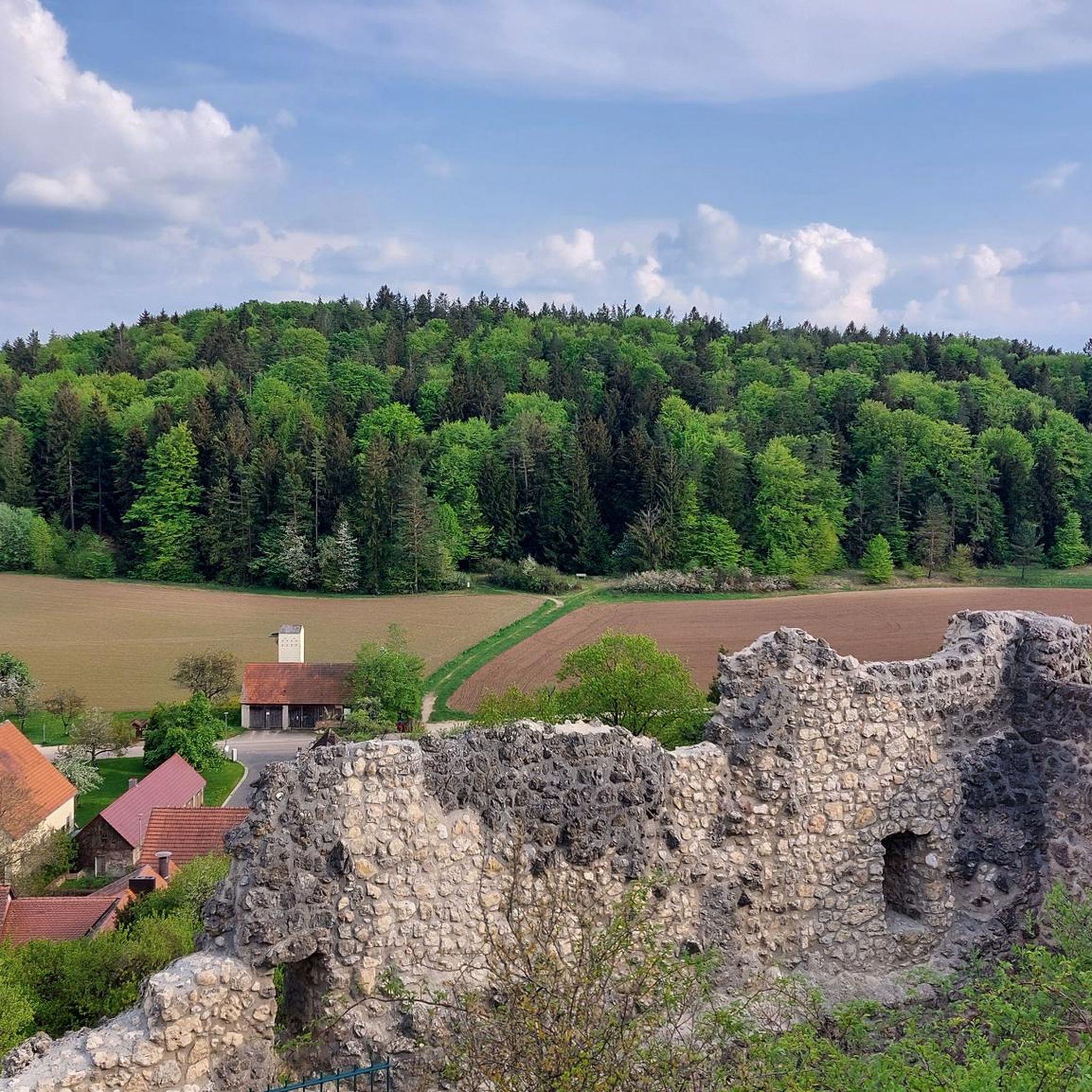
Hiking around Birgland
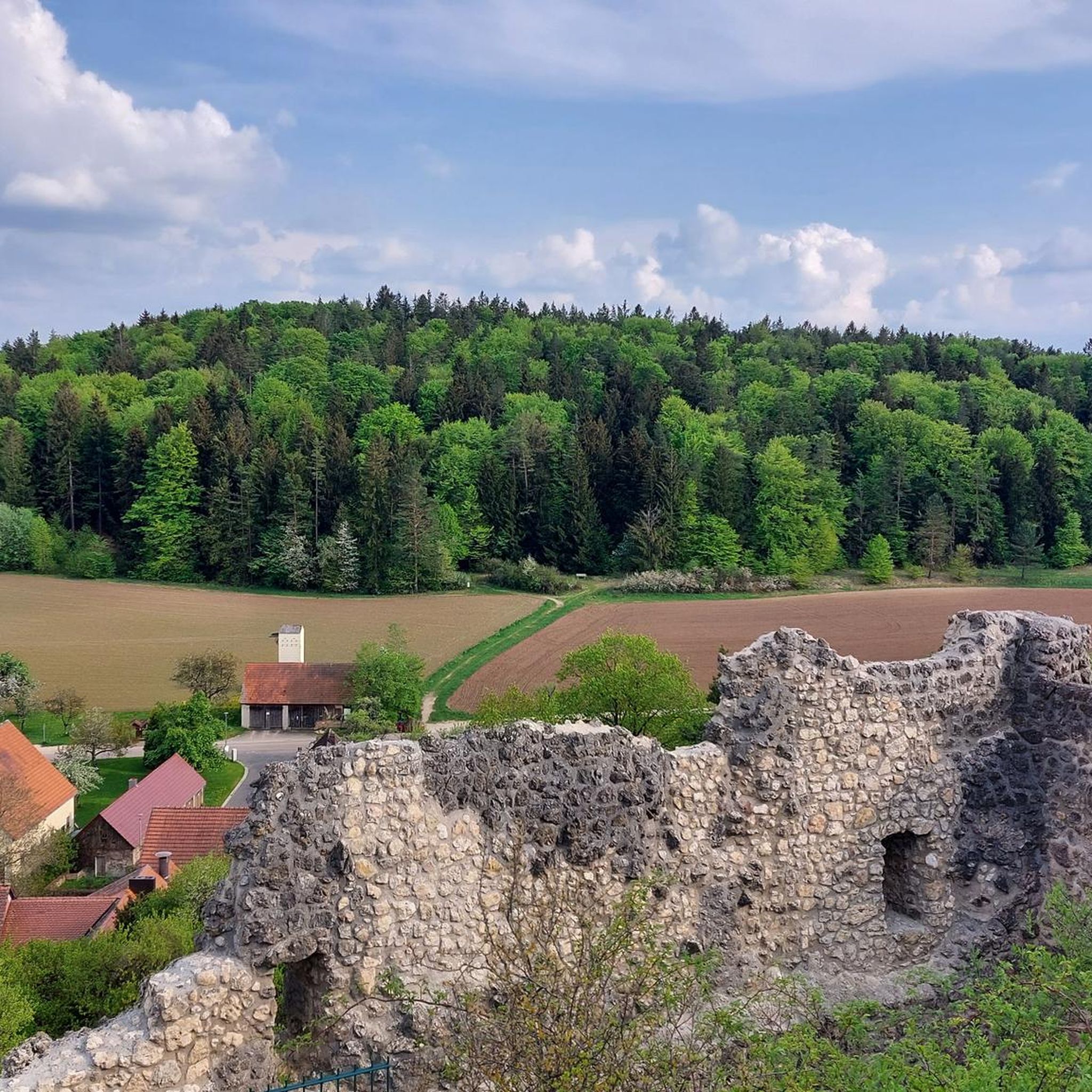
Cycling around Birgland
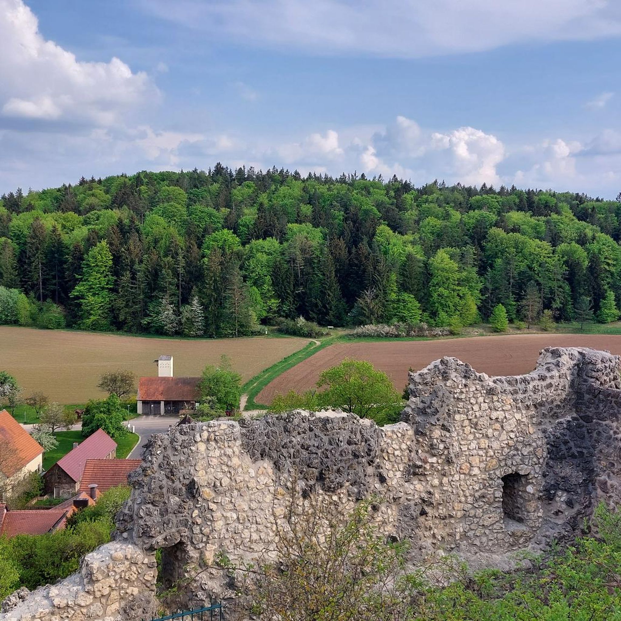
Road Cycling Routes around Birgland
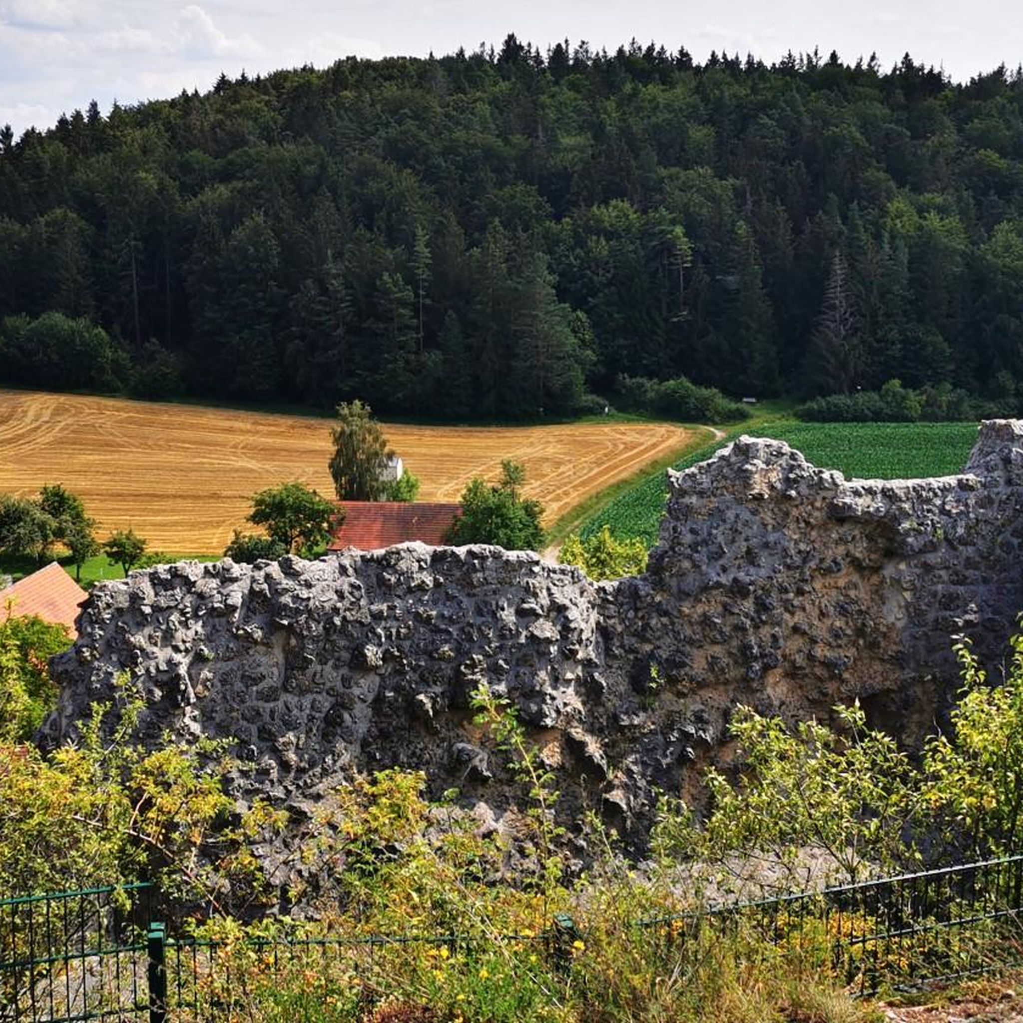
MTB Trails around Birgland
Mountain Hikes around Birgland
Other adventures around Birgland


Tips from the Community

Gem for a short hiking break
0
0

Beautiful, quiet, worth seeing ⭐⭐⭐⭐⭐
0
0

The two-kilometer-long Rinntal nature trail, with its ten information panels, invites you to learn about the special features of Hersbrucker Schweiz in a dry valley that is undeveloped by roads and of geological and botanical interest.
14
1


Beautiful dry valley north of Alfeld
1
0

Poppberg Castle Ruins It is difficult to determine from the sources when the castle was built. It is particularly unclear whether the mentioned castles and lords of the "Puchberg," "Puckberg," or "Pocksberg" are identical with the Poppbergs. A coat of arms of the "Pocksberg" appears in the Kastl monastery church in the row of founders' coats of arms on the south side of the nave. It can be assumed that the castle was founded to control the "high road" from Prague to Nuremberg, perhaps even under the Counts of Sulzbach, who ruled until 1188. In any case, the village of Poppberg is mentioned as belonging to the Fürnried parish as early as 1139. However, the castle's existing buildings show no signs of such an early foundation; they are more consistent with the period after 1300, when tower-like residential buildings became fashionable. The first truly confirmed reference to the castle appears in 1373, when the so-called New Bohemian Lands of Emperor Charles IV passed into the hands of the Bavarian duke. Poppberg was part of this Bohemian territory on Upper Palatinate soil, founded by Charles in 1353, but dissolved after his death. The Bavarian dukes pawned the castle to their Palatinate relatives in 1395, but redeemed the pledge in 1451. What seems odd is that two years later the castle is described as "deserted and desolate," meaning it was already abandoned. In 1505, after the Landshut War of Succession, Poppberg passed to the Duchy of Palatinate-Sulzbach, and in 1791 to Bavaria, but remained abandoned and fell into disrepair until the present day. The entrance to the castle is protected by a narrow tower on a pointed rock formation that forms the highest point of the castle. The upper part of the tower is occupied by a recently built, concreted shelter, which served as an air observation post during World War II. A circular wall adjoins the rock formation, forming a clearly visible edge of the terrain and extending extensively around the entire area. Traces of soil near the entrance suggest several utility buildings. The most impressive part of Poppberg is the residential building, a typical late medieval mixture of residential tower and palace dating from after 1300. The lower floor of the building probably served as a pantry and kitchen. The second floor is much more residential, with larger windows and two large entrances leading to the former battlements on either side. A third floor is suspected. Source: www.burgenseite.de
5
0

Fountain with pretty figures located directly on the hiking trail in Haunritz. Seating invites you to take a short rest.
0
0
Two striking rocks that point to the sky like fingers. Embedded in a fine trail.
1
0
Frequently Asked Questions
How many running routes are available in Birgland?
Birgland offers a wide selection of running routes, with over 320 trails documented on komoot. These routes cater to various preferences, from easy paths to more challenging runs.
What kind of terrain can I expect on Birgland's jogging routes?
The region is known for its diverse landscape, featuring varied topography with both gentle paths and more challenging elevated routes. You'll find natural scenery, hills, and open countryside, providing a range of experiences for trail running.
Are there running routes suitable for beginners or those looking for an easy jog?
Yes, Birgland has options for all fitness levels. Among the many routes, you'll find approximately 40 easy running trails, perfect for beginners or a relaxed jog through the scenic landscape.
What do other runners say about the trails in Birgland?
The running routes in Birgland are highly regarded by the komoot community, holding an average rating of 4.5 stars from over 350 reviews. More than 6,500 runners have explored the varied terrain, often praising the natural beauty and diverse options.
Are there any family-friendly running routes in Birgland?
While specific 'family-friendly' designations aren't always explicit, many of the easy and moderate routes, particularly those with less elevation, would be suitable for families. For example, the Rinntal Nature Reserve – Listening station on the Sinnesradweg loop from Alfeld is a moderate 5.2 km route that could be a good option for a family outing.
Can I bring my dog on the running trails in Birgland?
Generally, dogs are welcome on many outdoor trails in natural areas like Birgland. However, it's always recommended to check local regulations or specific route details for any restrictions, especially in nature reserves. Always keep your dog on a leash and clean up after them.
Are there any circular running routes in Birgland?
Yes, many of the running routes in Birgland are designed as loops, offering convenient circular paths. An example is the popular Running loop from Lauterhofen, an 8.1-mile trail that starts and ends in the same location.
What natural attractions or landmarks can I see while running in Birgland?
Birgland's routes often pass by interesting natural features and historical sites. You might encounter natural monuments like the Schottental Nature Reserve or the Oberes Molsbachtal Nature Reserve. Some trails also offer views of historical sites such as the Lichtenegg Castle Ruins, which you can see on routes like the Poppberg Village – Poppberg Castle Ruins loop from Schwend.
Are there any running routes that offer great viewpoints?
Yes, the varied topography of Birgland includes elevated paths that provide scenic vistas. While running, you might come across viewpoints such as the View of Happurger See from Hohler Fels or the View of Hohler Fels and the Happurg Reservoir, offering stunning panoramas of the surrounding landscape.
Is there parking available near the running trails?
While specific parking information for every trail isn't always detailed, many trailheads in Birgland's outdoor areas typically have designated parking facilities. It's advisable to check the starting point of your chosen route on komoot for more precise parking details.
How can I find a running route that suits my fitness level?
Komoot provides detailed information for each route, including distance, elevation gain, and a difficulty grade (easy, moderate, difficult). You can use these filters to select a running route that perfectly matches your current fitness level and desired challenge.
What is a good moderate running route to try in Birgland?
A popular moderate option is the Alter Fritz Inn, Haunritz – Country Hotel Sternwirt loop from Högen. This 9.9 km (6.1 miles) trail leads through the countryside and is often completed in about 1 hour and 4 minutes, offering a balanced challenge.
Most popular routes around Birgland
Most popular attractions around Birgland

Get inspired with the komoot mobile app


Explore more
Browse the best Running Trails & Routes in other regions.
