The best running trails in Upper Palatinate
4.4
(6088)
104,927
runners
7,165
runs
Jogging routes in Upper Palatinate traverse a diverse low mountain range landscape, characterized by extensive forests, meandering rivers, and numerous lakes. The region features varied terrain, from the rugged creek valleys and basalt cones of the Northern Upper Palatinate Forest Natural Park to the rolling hills and striking rock formations of the Hirschwald Nature Park. Runners can explore vast woodlands, tranquil waterside paths, and areas with unique geological features. This varied topography provides a range of running experiences across the…
Last updated: September 30, 2026
4.6
(7)
704
runners
Hard run. Very good fitness required. Mostly paved surfaces. Suitable for all skill levels.
3.7
(73)
771
runners
6.28km
00:39
20m
20m
Moderate run. Good fitness required. Mostly paved surfaces. Suitable for all skill levels.

4.7
(41)
676
runners
9.18km
00:57
30m
30m
Moderate run. Good fitness required. Mostly paved surfaces. Suitable for all skill levels.
4.8
(53)
704
runners
Moderate run. Good fitness required. Mostly paved surfaces. Suitable for all skill levels.
4.9
(16)
746
runners
Moderate run. Good fitness required. Mostly paved surfaces. Suitable for all skill levels.
4.8
(62)
695
runners
Moderate run. Good fitness required. Mostly paved surfaces. Suitable for all skill levels.
4.7
(55)
655
runners
Moderate run. Good fitness required. Mostly paved surfaces. Suitable for all skill levels.
4.6
(31)
523
runners
7.13km
00:47
10m
10m
Moderate run. Good fitness required. Mostly paved surfaces. Suitable for all skill levels.
3.9
(15)
410
runners
6.67km
00:42
10m
10m
Moderate run. Good fitness required. Mostly paved surfaces. Suitable for all skill levels.
4.0
(13)
404
runners
5.55km
00:34
10m
10m
Moderate run. Good fitness required. Mostly paved surfaces. Suitable for all skill levels.
Get access to more routes and recommendations from other explorers.
Already have an account?
Our route recommendations are based on thousands of hikes, rides, and runs completed by other people on komoot.
Start today with a free account
Your next adventure awaits.
Popular around Upper Palatinate
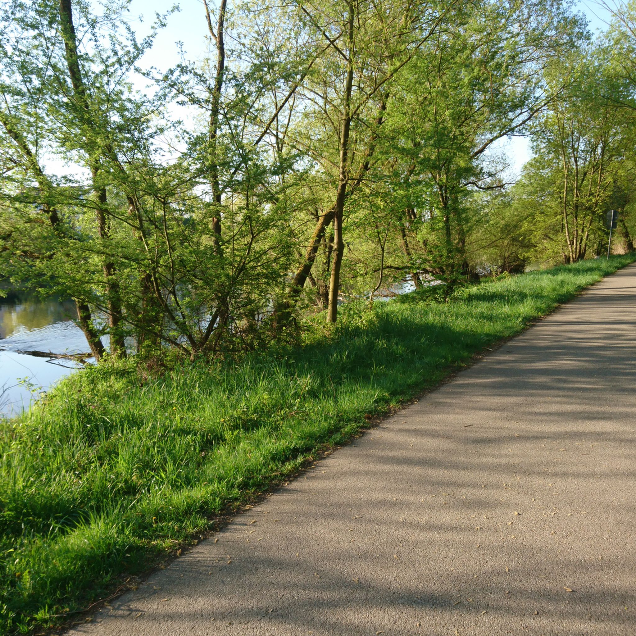
Running Trails in Landkreis Regensburg
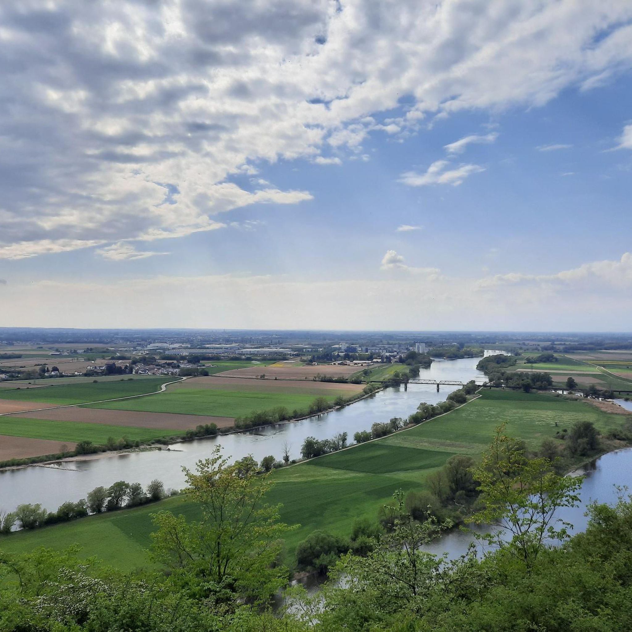
Running Trails in the Bavarian Forest
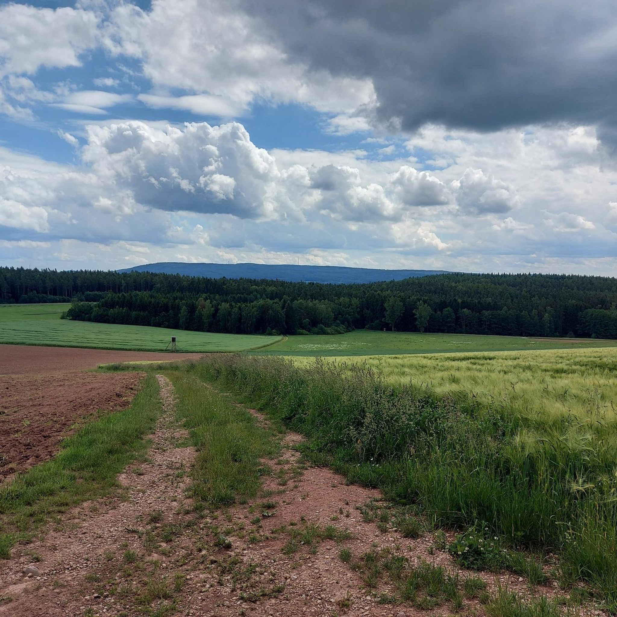
Running Trails in Landkreis Neustadt an der Waldnaab
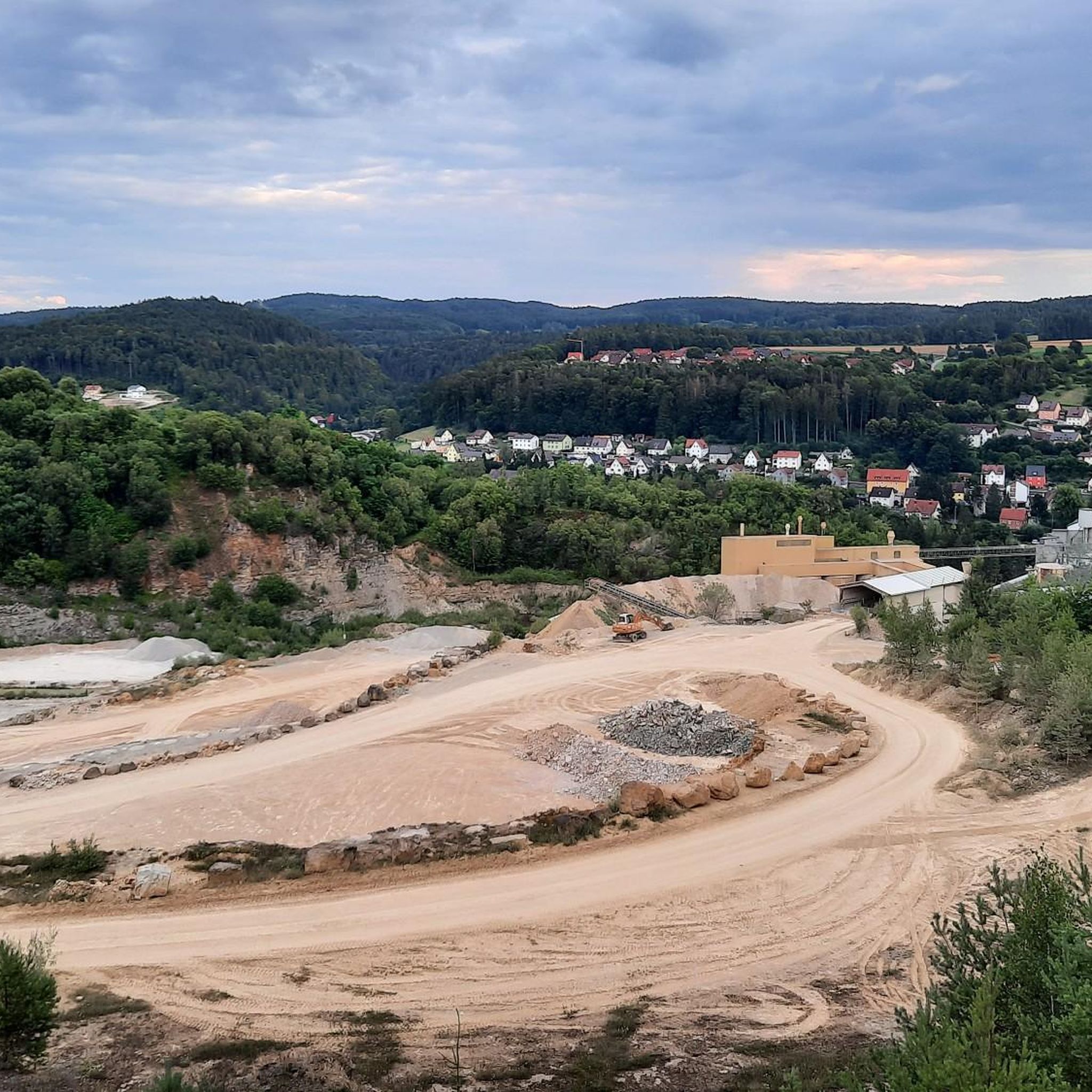
Running Trails in Landkreis Amberg-Sulzbach
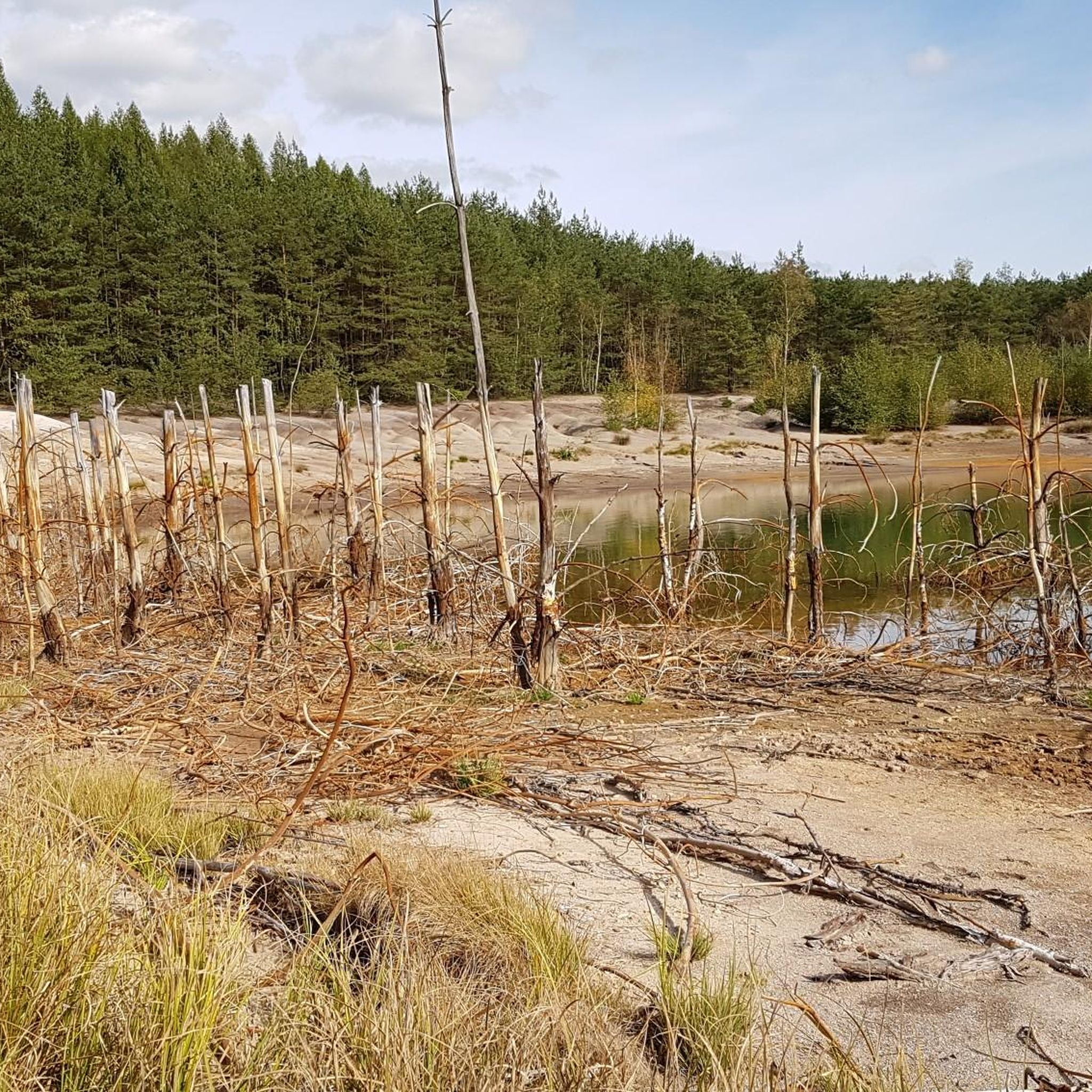
Running Trails in Schwandorf
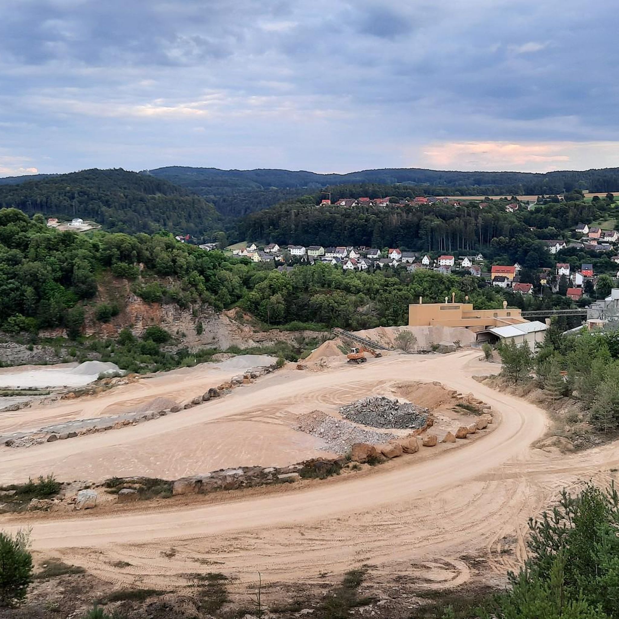
Running Trails in Amberg-Sulzbach
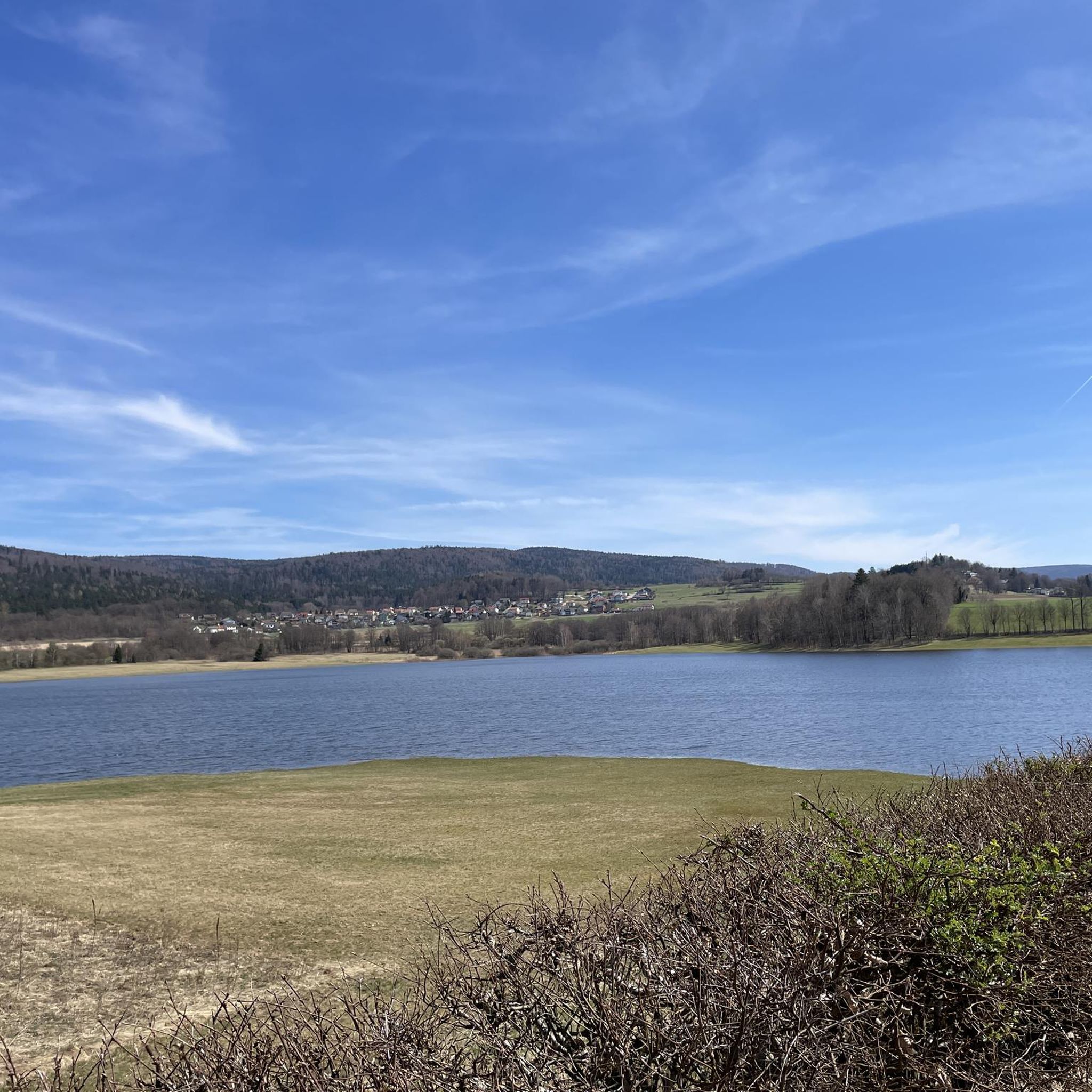
Running Trails in Cham
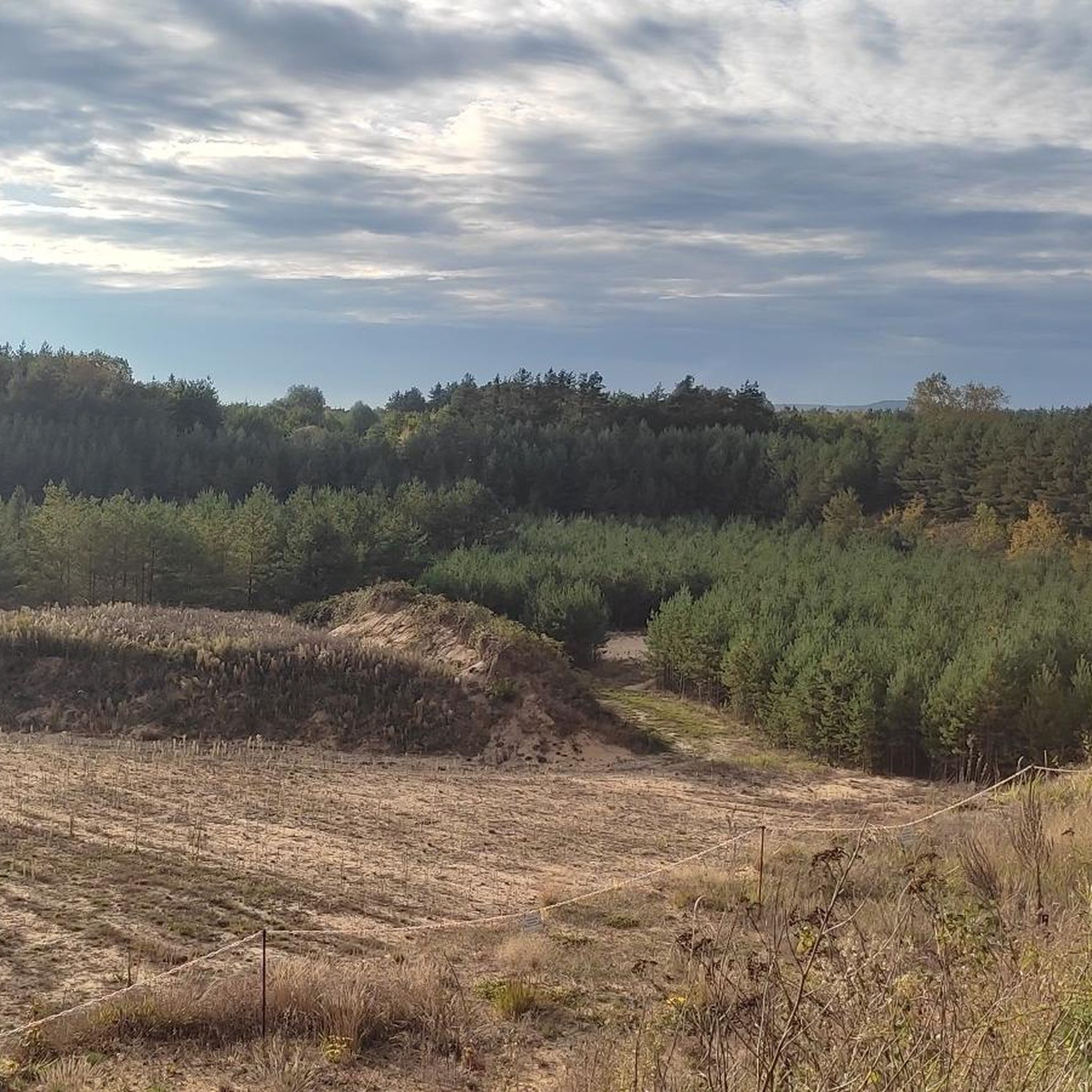
Running Trails in Landkreis Neumarkt in der Oberpfalz
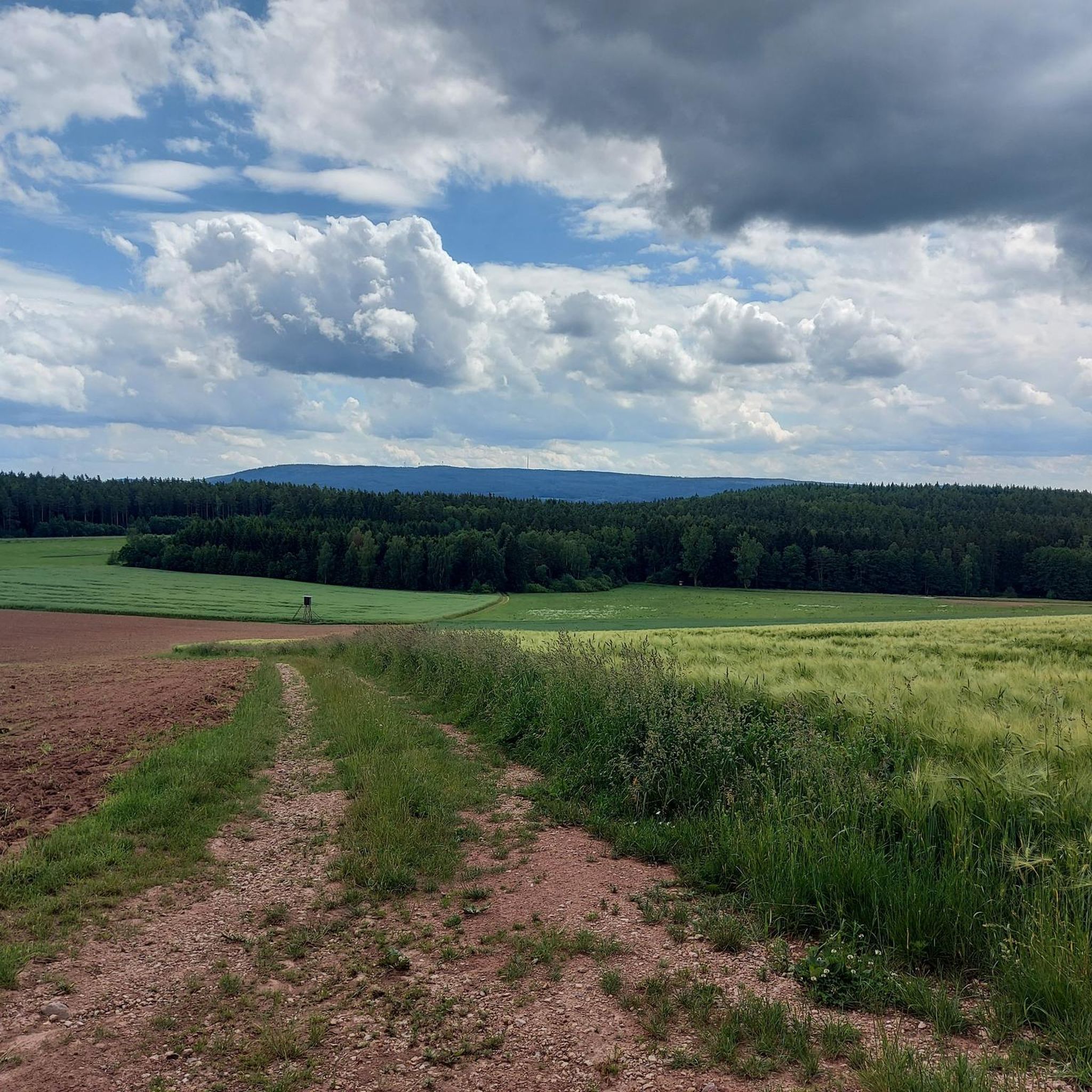
Running Trails around Landkreis Neustadt an der Waldnaab
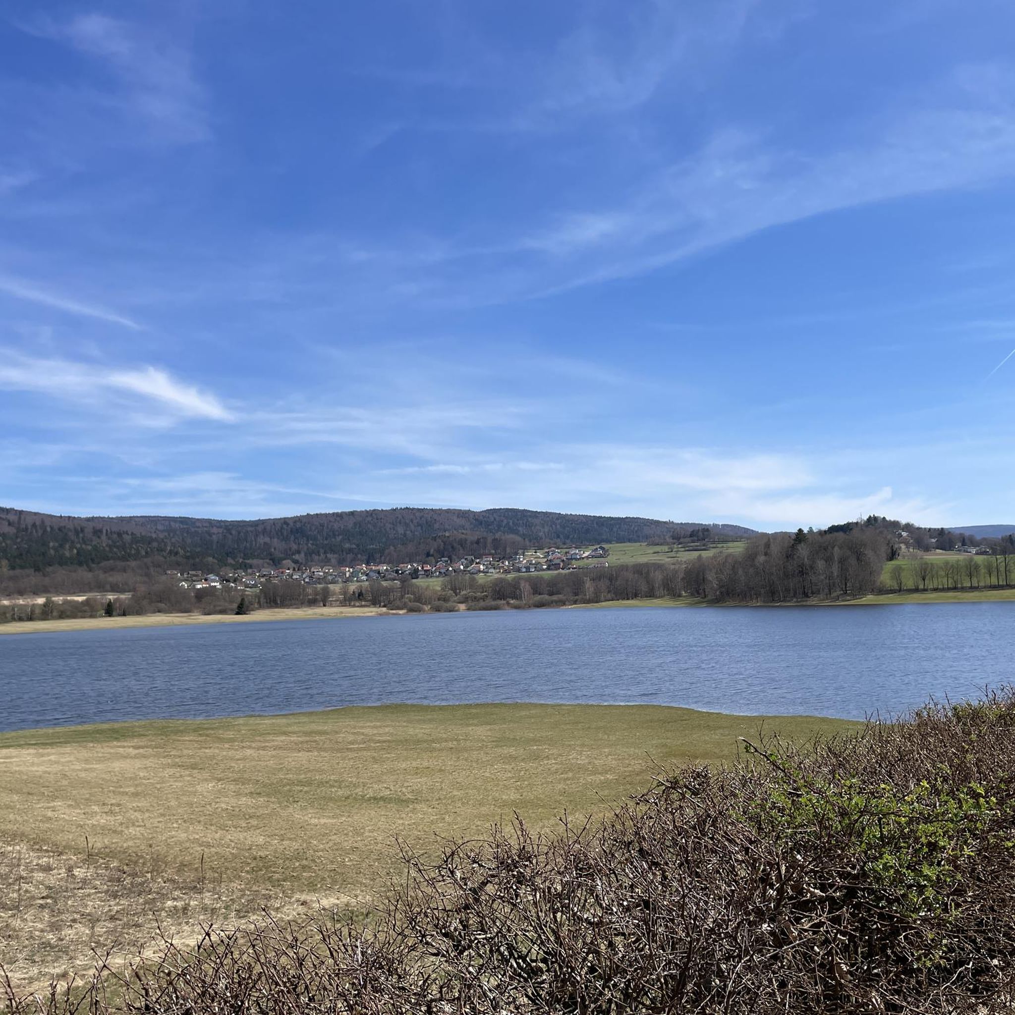
Running Trails in Naturpark Oberer Bayerischer Wald
Other adventures in Upper Palatinate


Tips from the Community

Quite funny!!! (Worth a look ;-))
0
0

A romantic spot for a break, with a view over the Westbad pond. Thanks to the roof, it's nicely shady or protected from the rain.
0
0

A pedestrian and cycle bridge spans the railway tracks, allowing pedestrians and cyclists to cross safely. From the footbridge, you also have a good view of the busy Regensburg main station. An ideal place to photograph trains.
2
0


Wonderful trail sections in a magnificent area
1
0

Knappensee The lake's origins can be traced back to the cessation of lignite mining by the Bavarian lignite industry in the 1980s. Flooding of the pit began in 1981, creating the lake with an area of 55 hectares and an average depth of 5 meters (deepest point: 6.5 meters). It is approximately 1 kilometer long and 460 meters wide. The lake's name likely derives from the miners' association or the miners of the open-cast mine, whose work led to its creation after mining operations ceased. The "Knappensee Circular Trail" was created around the lake. Since 2012, this trail, offering 3,900 meters of hiking and cycling routes, has been intended to support tourism in the region. Two-thirds of the circular trail lies within the municipality of Wackersdorf. A parking lot for cars is available on the south side. The water quality of the lake is monitored by the Weiden Water Management Office in the Upper Palatinate region using a measuring station located in the northern third of the lake. The measurement data is available from the Bavarian State Office for the Environment. After the open-cast mine was flooded, the lake water was highly acidic (pH value in 1998: 3.6); however, this has since changed unexpectedly, as the pH value is now reported to be 6.8. Fishing in the lake is permitted only with a fishing license and a local day permit, with a maximum catch of 5 fish per day. Source: Excerpts from www.wikipedia.de
3
0
Frequently Asked Questions
How many running routes are available in the Upper Palatinate?
The Upper Palatinate boasts an extensive network of over 7,000 running routes. This includes a wide selection of easy, moderate, and difficult trails, ensuring options for every fitness level and preference.
Are there easy jogging routes suitable for beginners or families in the Upper Palatinate?
Yes, the region offers numerous easy and family-friendly jogging routes. For instance, the Murner See loop from Murner See is a moderate 6.7 km path that provides scenic running along the lake, suitable for a relaxed outing. Many trails traverse gentle terrain, particularly around lakes and through forests.
Where can I find challenging running trails in the Upper Palatinate?
For those seeking a challenge, the Upper Palatinate's low mountain ranges offer demanding routes. The Danube Park – View of the Danube Cliffs loop from Regensburg Hauptbahnhof is a difficult 19.1 km trail with varied terrain. Another challenging option is the Prüfening Danube Ferry – Island Park loop from Regensburg Hauptbahnhof, which spans nearly 30 km.
Are there any circular running routes in the Upper Palatinate?
Absolutely! Many of the running routes in the Upper Palatinate are circular, allowing you to start and finish at the same point. Examples include the Lake Murner – View of Lake Murnersee loop from Murner See and the Stadtbrille Amberg – Amberg Sculpture Trail loop from Amberg, both popular circular options.
What kind of scenic views can I expect on running trails in the Upper Palatinate?
The Upper Palatinate is rich in diverse landscapes. You can expect magnificent distant views from various vantage points, especially in areas like the Northern Upper Palatinate Forest Natural Park with its basalt cones. Many routes also feature tranquil waterside paths along lakes like Murner See or rivers like the Danube, and pass through extensive, quiet forests and rugged creek valleys.
Are there any historical sites or landmarks along the running routes?
Yes, the region is dotted with historical elements. Joggers can encounter castles and castle ruins, which are prevalent throughout the Upper Palatine Forest. For example, the beautiful castle ruins in Flossenbürg offer interesting points of interest. You might also find unique rock formations and mystical valleys.
Can I find running routes near Regensburg?
Yes, Regensburg is a great starting point for several running adventures. Popular options include the Danube Park – Naab Bridge in Mariaort loop from Pettendorf, a challenging 19.2 km route, and the Danube Park – Grieser Steg loop from Ostenviertel, a 15.1 km trail offering views of the Danube.
What do other runners say about the trails in the Upper Palatinate?
The running routes in the Upper Palatinate are highly regarded by the komoot community, with an average rating of 4.4 stars from over 5,000 reviews. More than 96,000 runners have explored the region, often praising the varied terrain, well-maintained paths, and the natural beauty of the forests and lakes.
Are there any specific natural parks or areas known for good running in the Upper Palatinate?
Absolutely. The Northern Upper Palatinate Forest Natural Park is a prime area, known for its rugged creek valleys, basalt cones, and extensive forests. The Hirschwald Nature Park also offers a rich tapestry of forests, rolling hills, and striking rock formations, providing excellent running opportunities.
Are there any long-distance running trails in the Upper Palatinate?
While many routes are shorter, parts of long-distance hiking trails like the Goldsteig, Jurasteig, and Fränkischer Gebirgsweg traverse the Upper Palatinate. These can be utilized for extended runs, offering ample opportunities for those looking for longer distances and varied terrain.
What kind of terrain can I expect on running routes in the Upper Palatinate?
The Upper Palatinate features a diverse low mountain range landscape. You'll encounter a variety of terrains, from gentle forest paths and waterside trails to more rugged sections with rolling hills, rocky landscapes, and even basalt cones. Surfaces can range from natural forest floors to occasionally paved sections, offering a varied running experience.
Most popular routes in Upper Palatinate
Most popular attractions in Upper Palatinate

Get inspired with the komoot mobile app


Didn’t find what you were looking for?
Check out more Running Trails & Routes throughout Upper Palatinate below and find the perfect route in your destination.
Explore more
Browse the best Running Trails & Routes in other regions.
