The best running trails around Wiesenttal
4.4
(120)
2,361
runners
62
runs
Jogging around Wiesenttal offers an excellent opportunity to explore the diverse landscapes of Franconian Switzerland. The region is characterized by green hills, dense forests, and the meandering Wiesent River, providing a varied environment for running. Trails often weave through mixed forests, open meadows, and fields, with many paths featuring rocky sections and elevation changes that give them an alpine character. This blend of terrain ensures a stimulating experience for runners of different fitness levels.
Best jogging routes around Wiesenttal
- The…
Last updated: September 30, 2026
4.7
(22)
460
runners
21.6km
02:50
730m
720m
Hard run. Very good fitness required. Sure-footedness, sturdy shoes and alpine experience required.
4.5
(11)
224
runners
Hard run. Very good fitness required. Sure-footedness, sturdy shoes and alpine experience required.

4.8
(18)
360
runners
34.1km
04:29
1,150m
1,150m
Hard run. Very good fitness required. Sure-footedness, sturdy shoes and alpine experience required.
5.0
(3)
122
runners
11.7km
01:33
410m
410m
Hard run. Very good fitness required. Sure-footedness, sturdy shoes and alpine experience required.
4.8
(5)
119
runners
39.4km
04:56
1,050m
1,050m
Hard run. Very good fitness required. Sure-footedness, sturdy shoes and alpine experience required.
Get access to more routes and recommendations from other explorers.
Already have an account?
Our route recommendations are based on thousands of hikes, rides, and runs completed by other people on komoot.
Start today with a free account
Your next adventure awaits.
Popular around Wiesenttal

The National Natural Landscapes in Bavaria
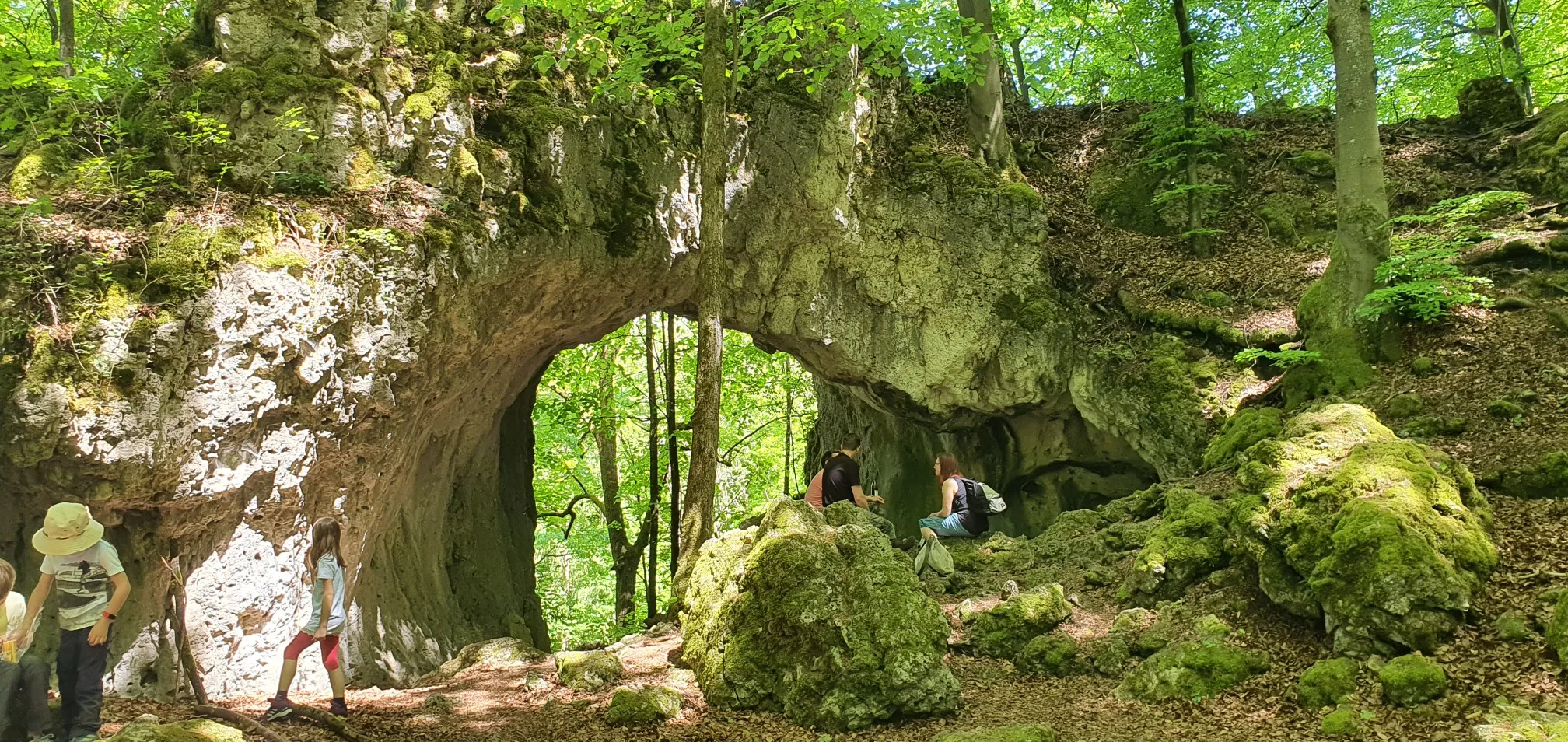
Catch the bus and train into nature – VGN Leisure Tips 2023

The Franconian Trail – A Diverse Hiking Dream Across 24 Stages
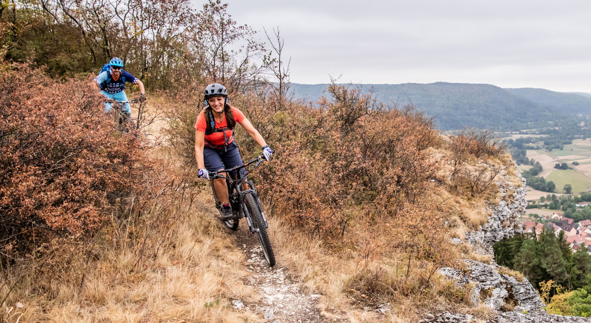
Castles, mountains, beer & trails – bikepacking in Franconian Switzerland
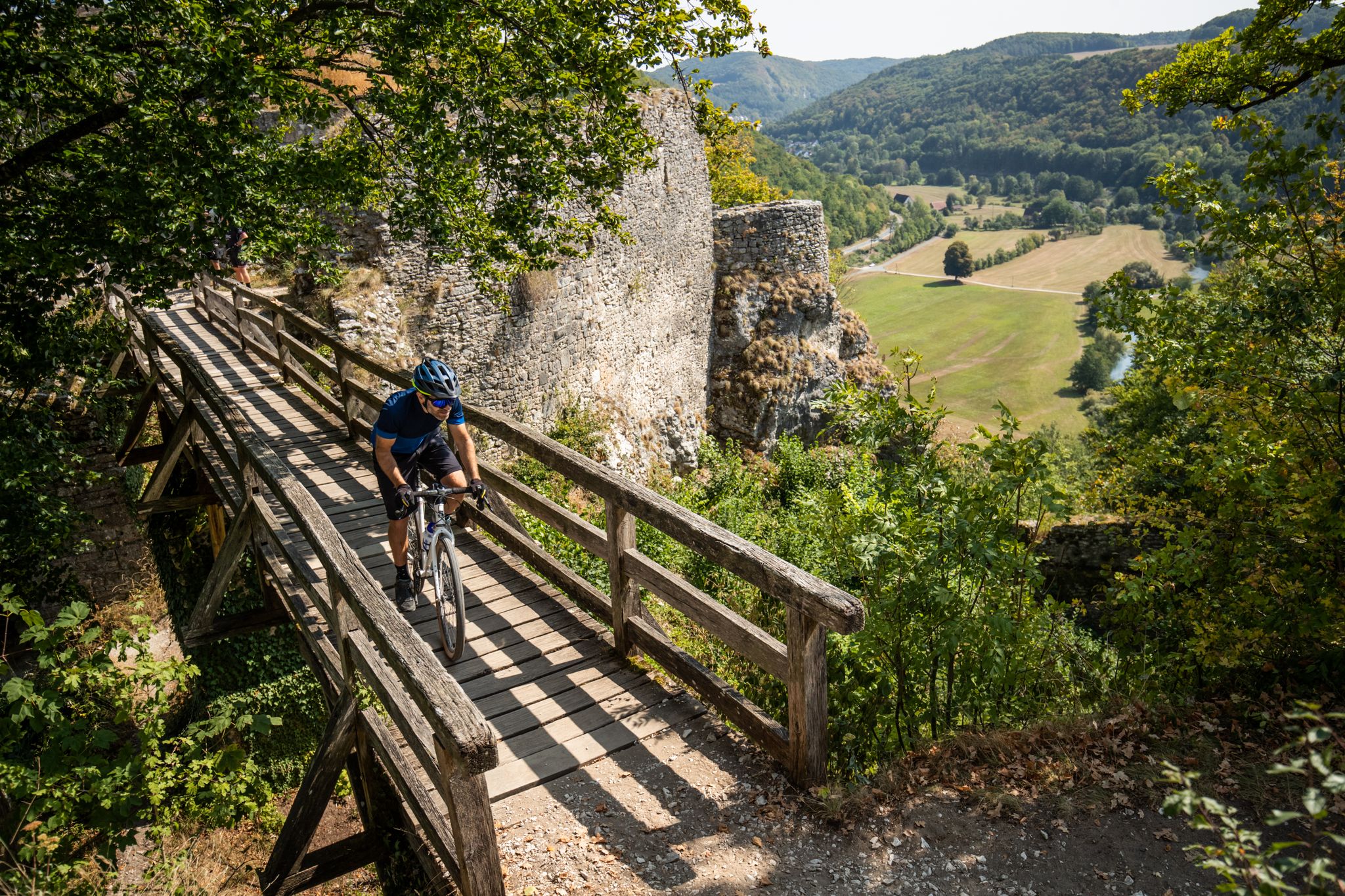
Castles, bikes and beer — a mountain biking paradise in Franconian Switzerland
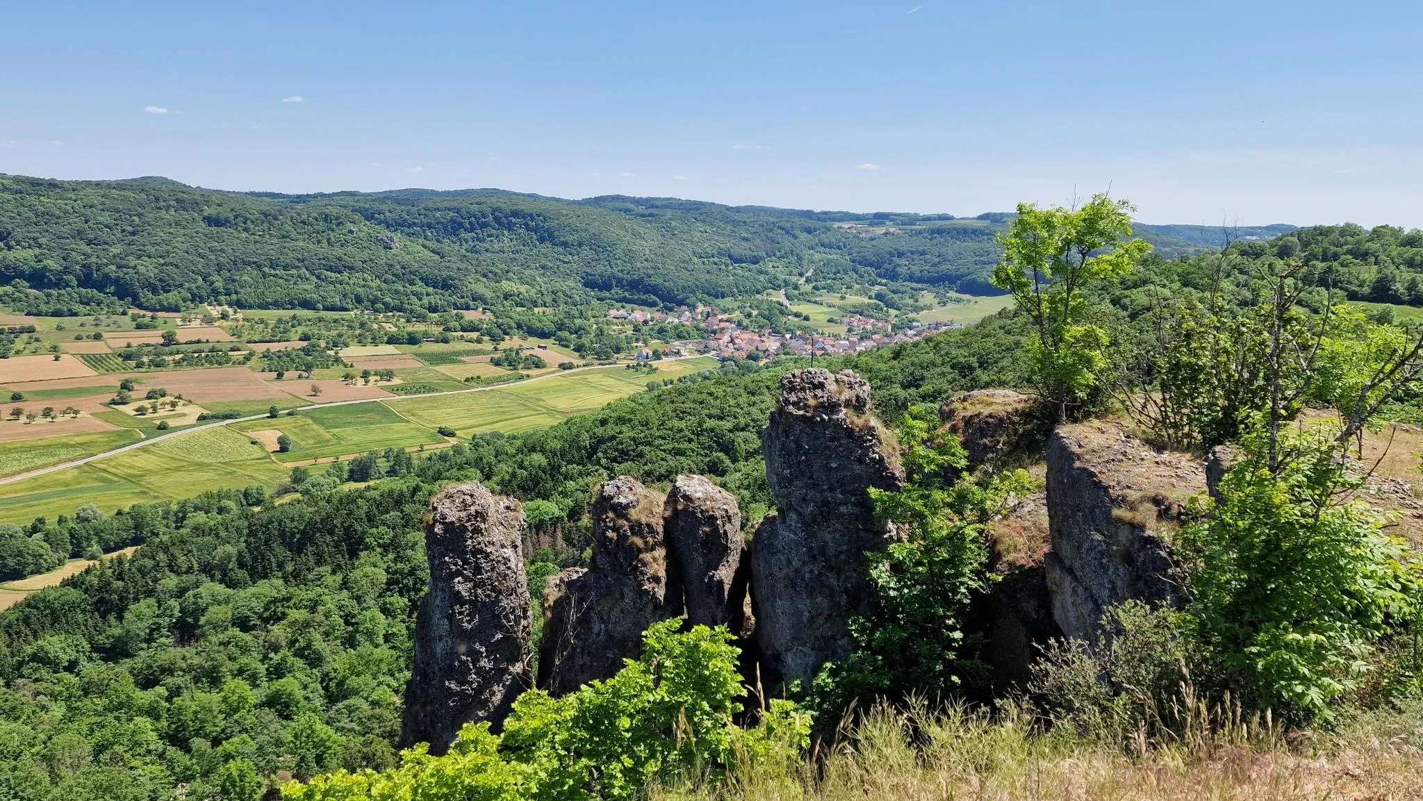
Delightful hiking in Franconian Switzerland

33 MTB trails through German forests
Lieblingswanderungen in der Fränkischen Schweiz
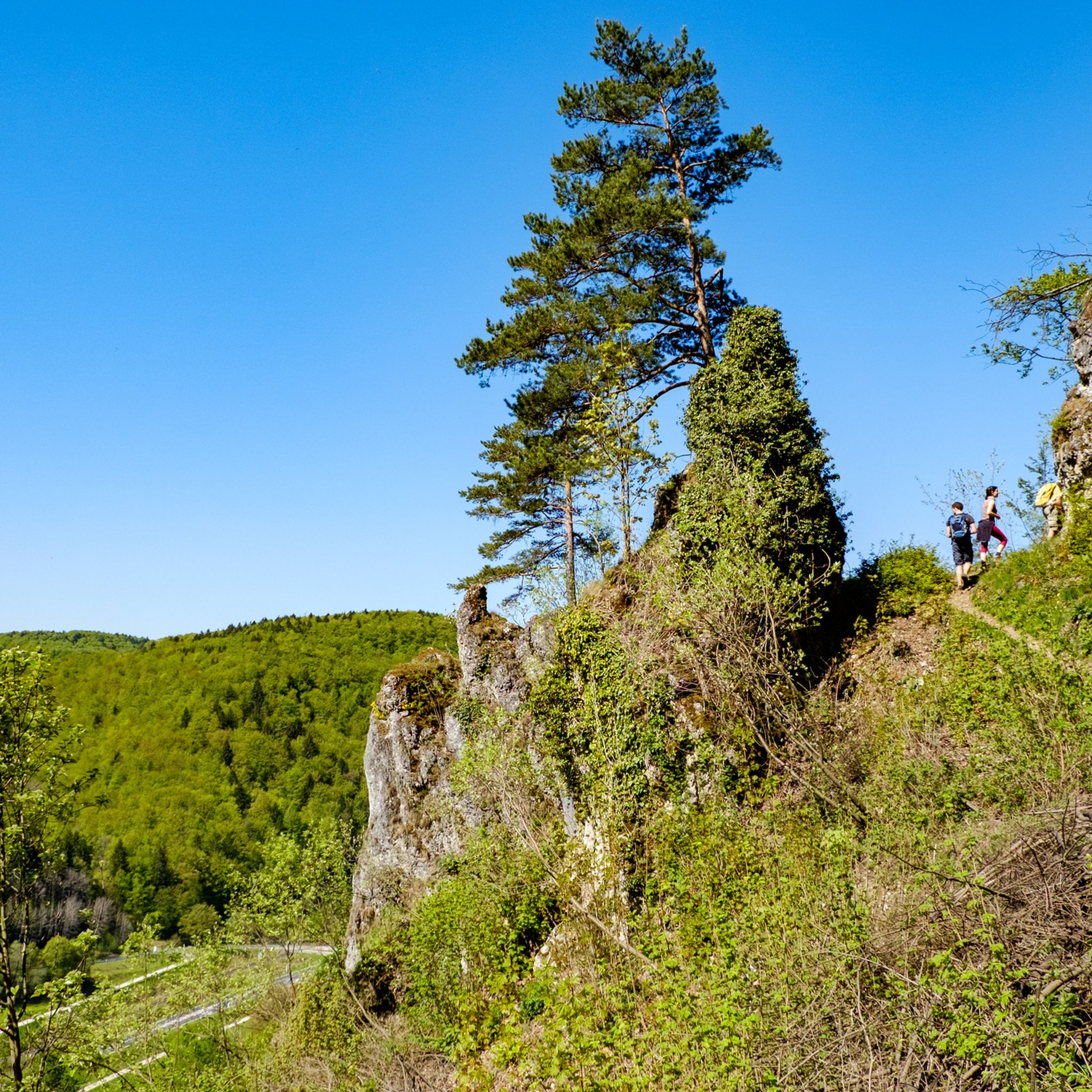
Hiking around Wiesenttal
Cycling around Wiesenttal
Other adventures around Wiesenttal


Tips from the Community

The valley section from Oberailsfeld upstream towards Burg Rabenstein is considered the heart of the Ailsbach valley. On this path, an almost untouched, idyllic river landscape combines with spectacular rock formations and historical discoveries. Completely without any significant gradients, the hiking trail follows the narrow, gently flowing Ailsbach. You walk on soft forest floor or narrow meadow paths, often in the cooling shade of the dense mixed forest. While the stream meanders gently through lush wet meadows, the steep wooded valley slopes rise up to the left and right. Here you also pass the Rennerfels – a striking, rugged rock formation right by the wayside, known as a multi-level cave and an important archaeological site from the Stone Age. The massive dolomite walls that line the valley are not only popular with climbers today, but also offer protected nesting sites for rare birds.
3
0

The rocky path to the 🏰 is also absolutely impressive. A very beautiful castle and, in winter, also romantically illuminated.
9
1

For an admission fee of currently €8, you will be treated to a 45-minute guided tour… Good thing and absolutely worthwhile
7
1

Fairytale trail through the forest and past fascinating rock formations.
0
0

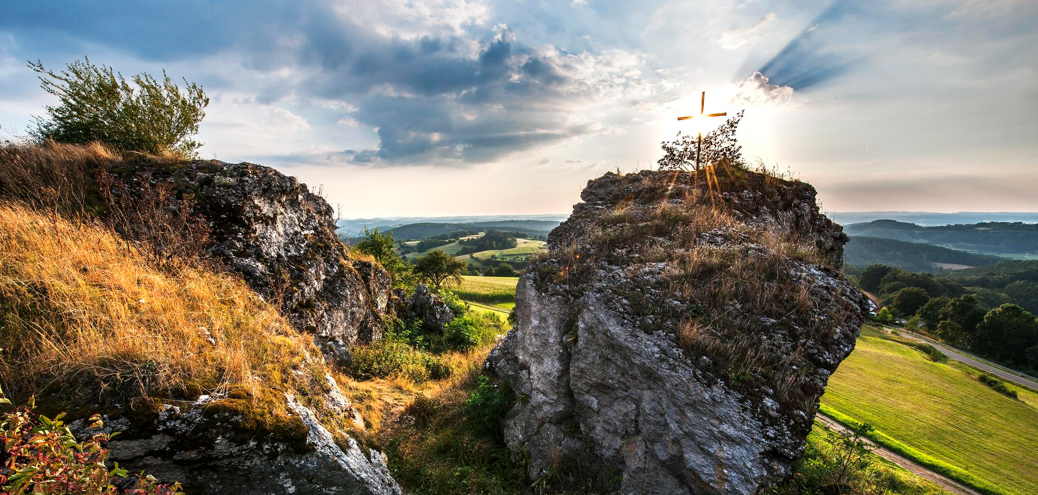
Beautiful view and great sunset
0
0

Great vantage point with a beautiful view!
1
0

Hummerstein is always a highlight 👍
3
0

2.5 km away you can see the Druid Grove
0
1
Frequently Asked Questions
How many running routes are available in Wiesenttal?
Wiesenttal offers a diverse network of over 50 running routes, catering to various fitness levels. These trails wind through green hills, dense forests, and along the Wiesent River, providing a stimulating experience for runners.
What is the general difficulty level of running trails in Wiesenttal?
The running trails in Wiesenttal vary significantly in difficulty. While there are a few easier paths, the majority are classified as moderate (around 20 routes) or difficult (over 30 routes). Many trails feature rocky sections and considerable elevation changes, giving them an 'alpine character' that challenges even experienced trail runners.
Are there any running routes that offer panoramic views in Wiesenttal?
Yes, Wiesenttal is known for its scenic viewpoints. Routes often lead to elevated spots like the Hohes Kreuz observation tower, which offers inspiring panoramic views. For example, the Hohes Kreuz Observation Tower – Shell Spring loop from Muggendorf is a popular choice for its vistas.
Can I find family-friendly jogging routes in Wiesenttal?
While many routes in Wiesenttal feature challenging terrain and elevation, there are options suitable for families looking for a less strenuous jog. These typically follow flatter sections along the Wiesent River or through more accessible forest paths. Look for routes classified as 'easy' or 'moderate' for a more relaxed experience.
Are there dog-friendly running trails in Wiesenttal?
Most natural trails in Wiesenttal are generally dog-friendly, allowing you to enjoy a run with your canine companion. However, it's always recommended to keep dogs on a leash, especially in areas with wildlife or near livestock, and to be mindful of other trail users. Always carry water for your dog, particularly on longer routes.
What kind of natural landmarks or sights can I expect to see along the running routes?
Wiesenttal's running routes are rich with natural wonders. You can encounter impressive rock formations like the Quackenschloss, explore fascinating caves such as the Oswald Cave, or discover the Riesenburg Collapse Cave. Many trails also follow the picturesque Wiesent River, offering beautiful riverside scenery.
Are there any circular running routes in Wiesenttal?
Yes, many of the running routes in Wiesenttal are designed as circular loops, allowing you to start and finish at the same point. This is convenient for runners who drive to the trailheads. An example is the Quackenschloss – Hohes Kreuz Observation Tower loop from Muggendorf, which takes you through varied terrain and past notable landmarks.
What do other runners enjoy most about jogging in Wiesenttal?
The komoot community highly rates the running experience in Wiesenttal, with an average score of 4.5 stars from over 90 reviews. Runners frequently praise the region's diverse landscapes, the stimulating challenge of its 'alpine character' trails, and the stunning natural beauty, including river valleys and impressive rock formations.
Are there any historical sites or cultural points of interest along the running trails?
Absolutely. Wiesenttal is dotted with historical points of interest that enhance the running experience. You might pass by the Neideck castle ruins, a prominent landmark of Franconian Switzerland, or encounter other ancient sites that add a cultural dimension to your run. The 'Romantic 3-Valley Route' is known for taking joggers through historical paths.
Can I find routes that lead through an 'enchanted forest' atmosphere?
Yes, the region is known for its 'enchanted forest' areas. Some trails wind through primeval forests with thick beeches, deciduous and coniferous trees, and a mix of deadwood and new greenery, creating a magical atmosphere for runners. The 'Enchanted Forest Route' between Muggendorf and Burggaillenreuth is a prime example of this unique environment.
Are there any running routes that follow the Wiesent River?
Many routes in Wiesenttal are defined by the meandering Wiesent River. Trails often follow the Wiesent and Aufseß rivers, offering a blend of natural beauty and cultural heritage. The Wiesent River at Streitberg – View over the Wiesent Valley loop from Streitberg is a great option that closely follows the river and provides extensive valley views.
What is the longest running route available in Wiesenttal?
For those seeking a significant challenge, the Esper Cave – Alpine Trail Below Witzenhöhle loop from Streitberg is one of the longest routes, spanning over 47 kilometers (nearly 30 miles). This difficult trail features substantial elevation gain and offers an extensive exploration of the region's varied terrain.
Most popular routes around Wiesenttal
Most popular attractions around Wiesenttal

Get inspired with the komoot mobile app


Explore more
Browse the best Running Trails & Routes in other regions.
