The best walks and hikes around Rathmullan Upper
4.8
(14)
342
hikers
24
hikes
Hikes around Rathmullan Upper explore the shores of Lough Swilly in County Donegal. The region's terrain is characterized by a mix of tranquil woodlands, sandy beaches, and undulating country paths. These routes offer open vistas across the glacial fjord toward the Inishowen Peninsula.
Best hiking trails around Rathmullan Upper
- The most popular hiking route is Murlough North Point loop — Mourne, a 2.0 mile (3.3 km) trail that takes about 50 minutes to complete. This is an easy route with minimal elevation gain.
- Another top favourite among local hiking enthusiasts is View of Dundrum – Carrigs Estuary loop from Dundrum, a moderate 4.9 mile (7.9 km) path. The trail follows a coastal and estuary landscape.
- Local hiking enthusiasts also love the View of Twelve Arches Bridge – Carrigs Estuary loop from Maghera, a 4.5 mile (7.2 km) trail leading through the Carrigs Estuary, often completed in about 1 hour 50 minutes.
- Hiking around Rathmullan Upper is defined by coastal paths, woodland trails, and routes along the Lough Swilly shoreline. The network of Rathmullan Upper Donegal walking trails provides options for different ability levels.
- The routes in Rathmullan Upper are highly rated by the komoot community with an average score of 4.9 stars from more than 10 reviews. More than 300 hikers have used komoot to explore Rathmullan Upper's varied terrain.
Last updated: November 11, 2026
4.0
(1)
18
hikers
7.57km
01:58
40m
50m
Easy hike. Easily walkable paths.
1
hikers
3.27km
00:51
20m
20m
Easy hike. Easily walkable paths.

5.0
(2)
54
hikers
7.06km
01:48
30m
30m
Easy hike. Easily walkable paths.
22
hikers
7.89km
02:01
30m
30m
Moderate hike. Good fitness required. Easily walkable paths.
10
hikers
4.92km
01:15
10m
10m
Easy hike. Easily walkable paths.
Get access to more routes and recommendations from other explorers.
Already have an account?
Our route recommendations are based on thousands of hikes, rides, and runs completed by other people on komoot.
Start today with a free account
Your next adventure awaits.
Popular around Rathmullan Upper

Tips from the Community

This picturesque spot is located between Dundrum Bay and Murlough Bay and offers impressive views of the surrounding countryside. The paths there lead through the Murlough National Nature Reserve, a 6,000-year-old dune system that is great for cycling. However, some sections can become slippery in wet weather, so care must be taken. A particular highlight is the Downshire Bridge, which connects the village of Dundrum with the nature reserve and provides a charming crossing over the bay.
1
0
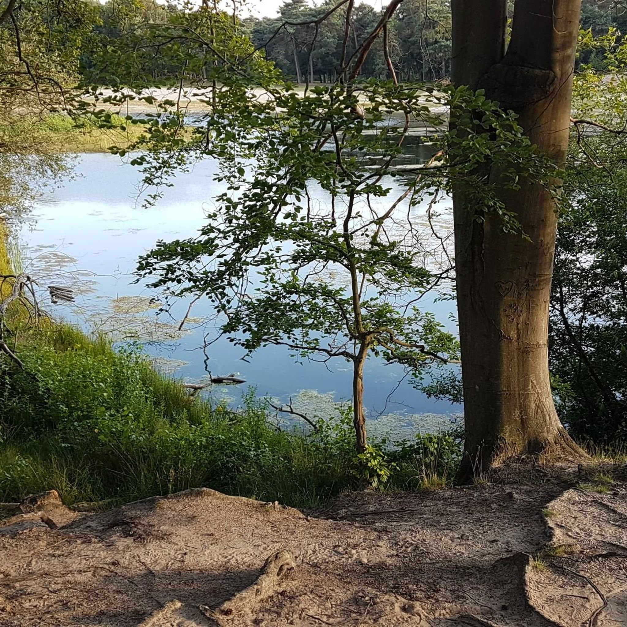
The ancient stone arches are perfectly reflected in the calm water, creating an image of timeless elegance. Cycling along here almost feels like a journey back in time - as if you are capturing a moment in another time.
1
0

Lovely running route all the way around the estuary. Can get boggy so be prepared.
0
0

Found on the beautiful peninsula between Dundrum Bay and Murlough Bay (Irish: Murlach, meaning 'sea inlet') Keel Point has perfect views of Slieve Donard, the highest peak in the Kingdom of the Mourne Mountains.
1
0
Wonderful ornate, twelve arched bridge that seems out of place in this rural setting. The surrounding fields often flood during periods of heavy rain, necessitating a longer bridge than normally appears necessary. Hence the 'Twelve Arches'. The bridge was built sometime after 1836.
1
0
Beautiful at any time of year but it's extra special in the Spring!
0
0

The Dundrum Coastal Path provides a beautiful 2.5km stretch of coastal walking along a disused railway line on the western shore of Dundrum Inner Bay. Enjoy delightful views of the bay and the Mournes as you make your way along this well-maintained path.
0
0
The beautiful Dundrum Castle is located on a hilltop near Dundrum village. Its elevated position provides fantastic panoramic views across Dundrum, the Carrigs Estuary, the Mourne Mountain range and out to the Irish Sea. The castle itself was constructed by John de Courcy at the beginning of the 13th century. It's a fine example of a historic medieval castle of its time.
2
0
Frequently Asked Questions
Are there any family-friendly hikes in Rathmullan Upper?
Yes, the area is well-suited for families. A great option is the Rathmullan Wood Nature Reserve, which features a well-maintained, buggy-friendly 1-kilometer looped trail through a historic oak woodland. It's a serene and accessible walk for all ages.
Can I bring my dog on the trails around Rathmullan Upper?
Many trails in the Rathmullan area are suitable for walking with a dog, provided they are kept on a lead, especially near farmland or in nature reserves. Coastal paths like Batt's Walk and the various beach routes are popular choices for dog walkers. Always be sure to clean up after your pet.
What are some easy circular walks in the area?
For a straightforward and scenic loop, the Dundrum Coastal Path loop from Dundrum is an excellent choice. It's a relatively flat 5 km walk that offers lovely coastal views without being too strenuous.
Where can I find the best views while hiking near Rathmullan?
For expansive views, many trails deliver stunning scenery across Lough Swilly towards the Inishowen Peninsula. For a truly spectacular panorama, consider a trip to the Lookout Point at Horn Head, a highly-regarded spot that offers 360-degree views from the edge of the coast.
How many hiking trails are available around Rathmullan Upper?
There are over 25 hiking routes to explore around Rathmullan Upper. The trails range from easy woodland walks and gentle coastal paths to more moderate countryside loops, offering plenty of options for different fitness levels.
What do other hikers think of the trails in Rathmullan Upper?
The trails are highly rated by the komoot community, with an average score of 4.9 stars. Hikers often praise the stunning views of Lough Swilly, the mix of woodland and coastal scenery, and the general tranquility of the area.
Are there any longer, more challenging hikes available?
Yes, if you're looking for a longer outing, the Newcastle Central Promenade – View of Twelve Arches Bridge loop from Maghera is a moderate hike covering nearly 13 km. It combines coastal sections with estuary landscapes for a varied and rewarding experience.
Where is the best place to park for a hike?
Parking availability depends on your chosen trail. For beach walks, the pier car park in Rathmullan is a convenient starting point. For woodland hikes, Rathmullan Wood Nature Reserve has its own parking area. Many trailheads for country walks have informal parking spots, but be sure to park considerately and not block any access.
Can I combine a woodland walk with a beach walk?
Absolutely. A popular combination is to start at Rathmullan Wood, explore its trails, and then walk down to Rathmullan Beach. From there, you can follow the shoreline and connect with Batt's Walk for a route that gives you the best of both the woods and the lough.
What kind of clothing or gear is recommended for hiking in Donegal?
The weather in Donegal can be unpredictable, so it's wise to dress in layers. Waterproof and windproof outerwear is essential, even on a sunny day. Sturdy walking shoes or hiking boots are recommended, as some paths can be uneven or boggy, particularly after rain. Always carry water and a charged phone.
Are there any historical points of interest along the hiking trails?
Yes, some routes incorporate local history. The Legland and Lurganboy Loops, for example, pass by an 18th-century Mass Rock, which adds a historical dimension to the scenic walk through farmland and woodland.
Most popular routes around Rathmullan Upper
Most popular attractions around Rathmullan Upper

Get inspired with the komoot mobile app


Explore more
Browse the best Hikes in other regions.
