The best running trails around Ballysugagh
384
runners
39
runs
Jogging routes Ballysugagh are situated within County Down, Northern Ireland, a region characterized by its diverse natural landscapes. The area features the dramatic Mourne Mountains, providing opportunities for varied terrain, alongside lush woodlands and established running paths in places like Tollymore Forest Park and Castlewellan Forest Park. The coastline offers long sandy beaches and tranquil loughs such as Strangford Lough, creating a mix of natural surfaces and elevations for runners.
Best jogging routes around Ballysugagh
- The most popular jogging route…
Last updated: July 26, 2026
28
runners
5.15km
00:33
60m
60m
Moderate run. Good fitness required. Mostly paved surfaces. Suitable for all skill levels.
3
runners
4.83km
00:32
30m
30m
Easy run. Great for any fitness level. Mostly paved surfaces. Suitable for all skill levels.

Sign up for free
52
runners
11.5km
01:12
100m
100m
Moderate run. Good fitness required. Mostly paved surfaces. Suitable for all skill levels.
26
runners
8.07km
00:51
50m
40m
Moderate run. Good fitness required. Mostly paved surfaces. Suitable for all skill levels.
5
runners
7.00km
00:44
100m
100m
Moderate run. Good fitness required. Mostly paved surfaces. Suitable for all skill levels.
Get access to more routes and recommendations from other explorers.
Sign up for free
Already have an account?
Our route recommendations are based on thousands of hikes, rides, and runs completed by other people on komoot.
Start today with a free account
Your next adventure awaits.
Login or Signup
Popular around Ballysugagh
Tips from the Community

Situated on the shores of Strangford Lough in an area of outstanding natural beauty, The Park offers peace, beauty and tranquillity. It is home to the Strangford Stone - the tallest megalith in Ireland. This beautiful 200 -acre Country Park offers a great day out for visitors of all ages. Whether you are a keen walker, a nature lover or simply looking for a great day.
1
0

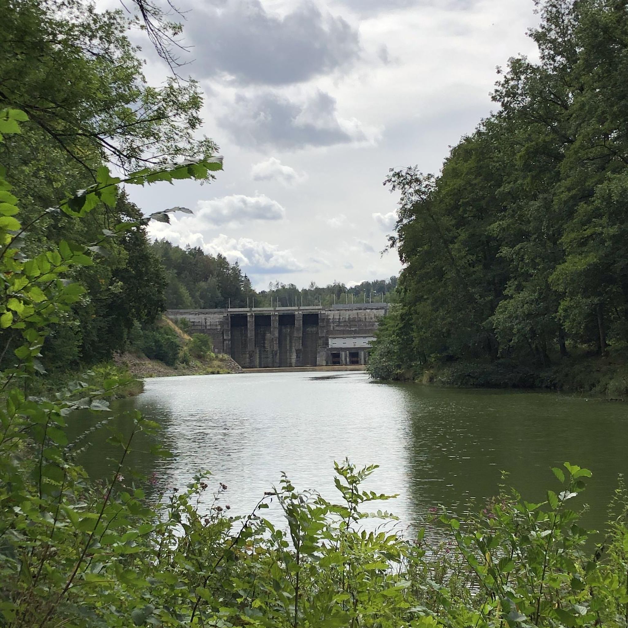
Here is a great vantage point to enjoy the best of the sensational River Quoile. Enjoy beautiful scenery of rounded hills and marshes as you pass the tranquil riverside and keep your eyes peeled for local bird and wildlife that are often seeing relaxing on the water.
2
0
The impressive Strangford Stone that sits inside the Delamont Country Park in Northern Ireland holds the mighty title of the highest megalith stone in Europe! The stone stands at a whopping 12.5 metres tall and was assembles by 1000 people in 1999. It stands in an elevated position, boasting superb views over Strangford Lough and towards Slieve Croob and the Mountains of Mourne
3
0
Quoile Bridge is a six arch stone bridge that runs over the River Quoile. The bridge was built around 1680 and may be one of the oldest bridges in County Down!
3
0
Here is a great vantage point to enjoy the best of the sensational River Quoile. Enjoy beautiful scenery of rounded hills and marshes as you pass the tranquil riverside and keep your eyes peeled for local bird and wildlife that is often seeing relaxing on the water.
2
0

[Translation may change URLs] Saint Patrick Centre (2022-09-25): https://www.saintpatrickcentre.com/ Wikipedia (Saint Patrick Visitor Centre, 2022-09-25): https://en.m.wikipedia.org/wiki/Saint_Patrick_Visitor_Centre Tripadivisor (The Saint Patrick Centre, 2022-09-25): https://www.tripadvisor.com/Attraction_Review-g186477-d212603-Reviews-The_Saint_Patrick_Centre-Downpatrick_County_Down_Northern_Ireland.html google (Street View, 2022-09-25): https://www.google.com/maps/@54.3274104,-5.7186598,3a,90y,290.11h,89.4t/data=!3m7!1e1!3m5!1sciBSUzOAA_Jyb4RvhF7AwQ!2e0!6shttps:%2F%2Fstreetviewpixels-pa.googleapis.com%2Fv1%2Fthumbnail%3Fpanoid%3DciBSUzOAA_Jyb4RvhF7AwQ%26cb_client%3Dmaps_sv.tactile.gps%26w%3D203%26h%3D100%26yaw%3D20.517939%26pitch%3D0%26thumbfov%3D100!7i13312!8i6656
2
0
Frequently Asked Questions
How many running routes are available around Ballysugagh?
There are over 40 running routes around Ballysugagh listed on komoot, offering a wide range of options for different fitness levels and preferences.
What kind of terrain can I expect on the running trails near Ballysugagh?
The Ballysugagh area, situated in County Down, offers diverse terrain. You'll find everything from flat riverside paths along the Quoile River to more challenging routes with elevation gain in areas like the Mourne Mountains. Expect a mix of woodlands, lough shores, and potentially coastal paths.
Are there any easy running routes suitable for beginners or a relaxed jog?
Yes, there are several easy routes. For a relaxed experience, consider the Quoile River run, an easy 3.0 miles (5 km) path that follows the scenic river and is relatively flat. There are 4 easy routes in total.
Can I find circular running routes in the Ballysugagh area?
Yes, many of the running routes around Ballysugagh are circular. For instance, the popular Delamont Country Park running loop — Strangford & Lecale is a circular trail offering views of Strangford Lough.
Are there running trails suitable for families with children around Ballysugagh?
While specific family-friendly routes are not detailed, areas like Delamont Country Park, which hosts the Delamont Country Park running loop, are generally well-suited for families. These parks often have amenities and easier paths that can be enjoyed by all ages. County Down's forest parks like Tollymore and Castlewellan also offer varied terrain suitable for family outings.
What natural features or landmarks can I see while jogging near Ballysugagh?
The region is rich in natural beauty and historical sites. You can jog past the tranquil Delamont Country Park with views of Strangford Lough. Other notable landmarks include Audley's Castle, which is part of the Castle Ward – Audley's Castle loop from Portloughan, and various ancient monuments like the Ballynoe Stone Circle.
Is Ballysugagh a good place for dog-friendly running?
County Down, where Ballysugagh is located, offers many outdoor spaces that are generally dog-friendly, especially in its numerous forest parks and along coastal paths. While specific dog rules vary by location, many trails allow dogs on leads. Always check local signage for specific regulations in parks or nature reserves.
What are the options for parking when accessing running trails in Ballysugagh?
Many popular trailheads, especially those within country or forest parks like Delamont Country Park or Castle Ward, typically offer designated parking facilities. For example, the Castle Ward Shore Car Park is available for those exploring routes in that area. It's advisable to check specific route details for parking information.
How accessible are the running routes around Ballysugagh by public transport?
While specific public transport links directly to every trailhead are not detailed, County Down has a public transport network. However, accessing more remote or rural running routes might require a car. For routes closer to towns like Downpatrick, public transport options may be more readily available.
What do other runners say about the trails in Ballysugagh?
Over 400 runners have used komoot to explore Ballysugagh's varied terrain. Users frequently praise the scenic beauty, particularly the views of Strangford Lough and the tranquil river paths. The diversity of routes, from easy riverside jogs to more challenging trails, is also highly appreciated.
Are there any longer, more challenging running routes for experienced runners?
Yes, for experienced runners seeking a challenge, there are 6 difficult routes available. A good option is the Castle Ward – Audley's Castle loop from Portloughan, which is 8.9 miles (14 km) long and features varied terrain with significant elevation gain.
Which running routes offer views of Strangford Lough?
Several routes provide beautiful views of Strangford Lough. The Delamont Country Park running loop — Strangford & Lecale is specifically highlighted for its lough views. The general area around Castle Ward also offers glimpses of the lough.
What is the best time of year to go running in Ballysugagh?
The best time to go running in Ballysugagh, like much of County Down, is generally during the spring (April-May) and autumn (September-October) months. During these periods, the weather is typically milder, and the natural landscapes are particularly vibrant, with blooming flowers in spring or rich foliage in autumn. Summer can also be pleasant, though routes might be busier.
Most popular routes around Ballysugagh
Most popular attractions around Ballysugagh

Get inspired with the komoot mobile app


Explore more
Browse the best Running Trails & Routes in other regions.
