The best mountain hikes around Gräfenberg
4.5
(6)
27
hikers
9
hikes
Mountaineering routes around Gräfenberg are situated at the edge of Franconian Switzerland, a region characterized by picturesque valleys, rocky cliffs, and dense forests. The area features an elevation range of 400 to 550 meters, offering varied terrain for outdoor activities. Notable landscapes include the Lillach Valley with its sinter terraces and the Walberla Plateau, providing diverse environments for mountaineers.
Best mountaineering routes around Gräfenberg
- The most popular mountaineering route is Twin rock formation at Walberla – Cave at the Steinerne…
Last updated: September 29, 2026
4.5
(4)
13
hikers
3.91km
01:15
110m
110m
Hard mountaineering route. Great for any fitness level. Sure-footedness, sturdy shoes and alpine experience required.
3
hikers
5.69km
01:45
210m
210m
Easy mountaineering route. Great for any fitness level. Easily-accessible paths. Suitable for all skill levels.

5.0
(1)
4
hikers
6.80km
01:59
190m
190m
Moderate mountaineering route. Great for any fitness level. Mostly accessible paths. Sure-footedness required.
1
hikers
5.15km
01:30
130m
130m
Easy mountaineering route. Great for any fitness level. Easily-accessible paths. Suitable for all skill levels.
Get access to more routes and recommendations from other explorers.
Already have an account?
Our route recommendations are based on thousands of hikes, rides, and runs completed by other people on komoot.
Start today with a free account
Your next adventure awaits.
Popular around Gräfenberg

The Franconian Trail – A Diverse Hiking Dream Across 24 Stages
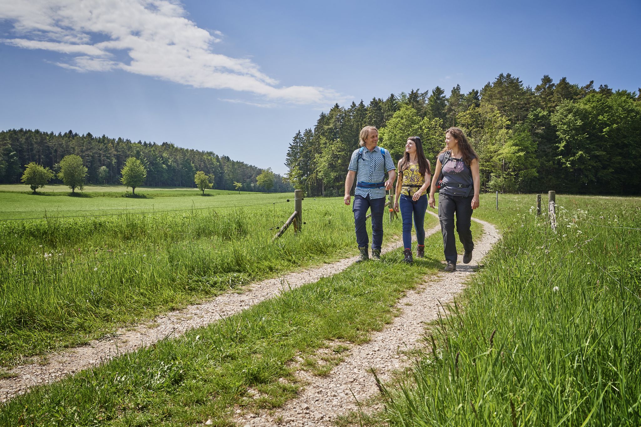
Hops, barley & beer — hiking with VGN leisure tips through Franconia
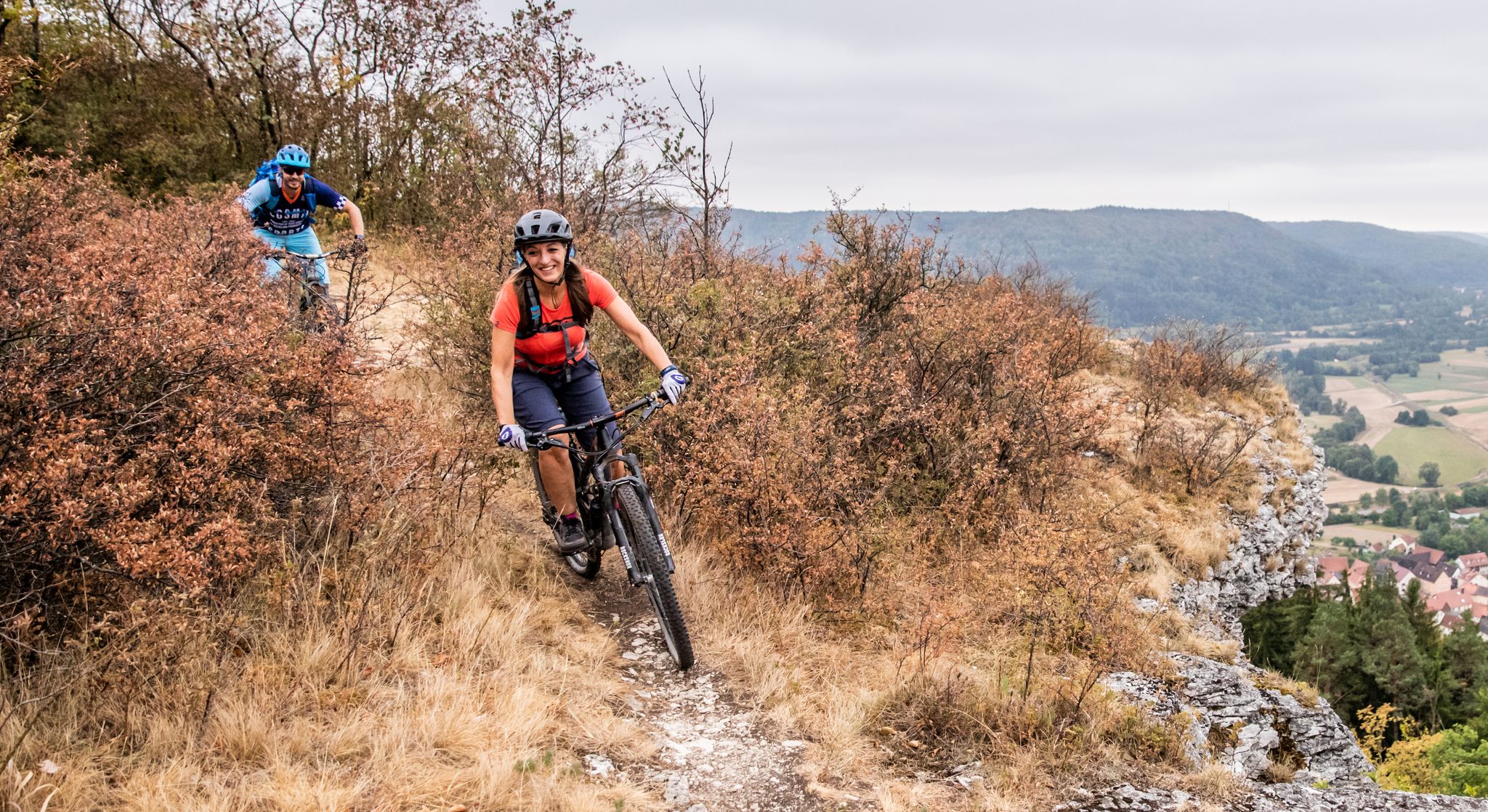
Castles, mountains, beer & trails – bikepacking in Franconian Switzerland
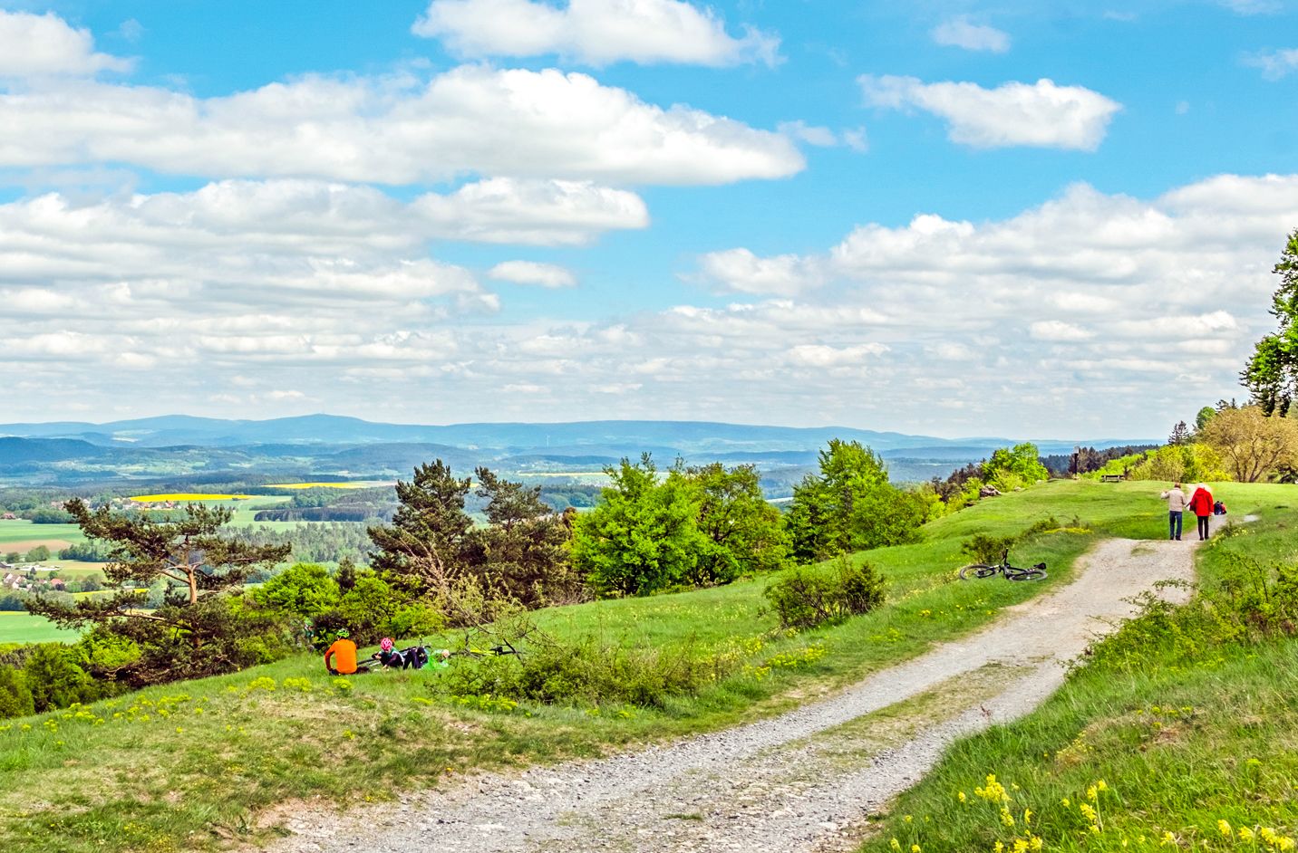
Ponds, woods and hills – the VGN recreational activities
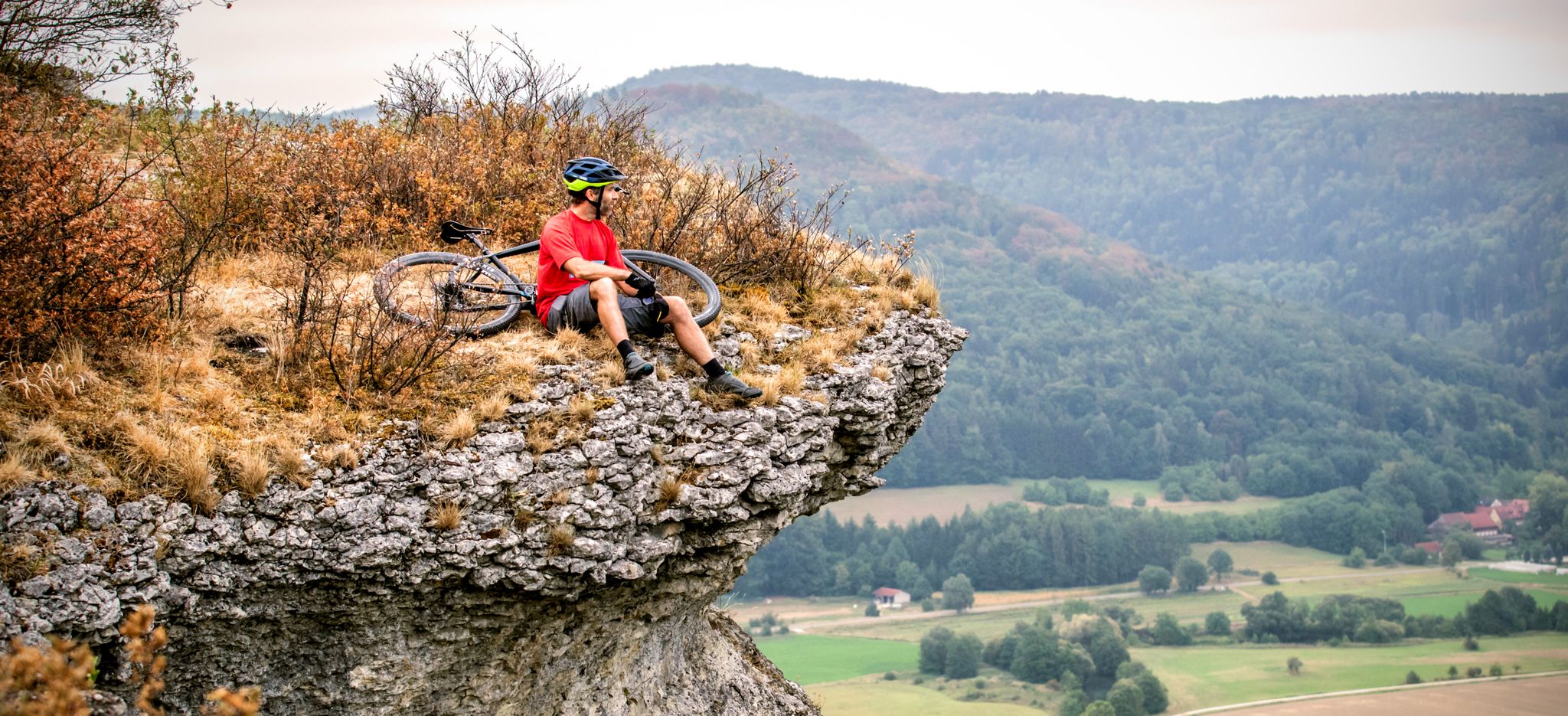
The 10 most beautiful mountain bike Tours in Franconian Switzerland
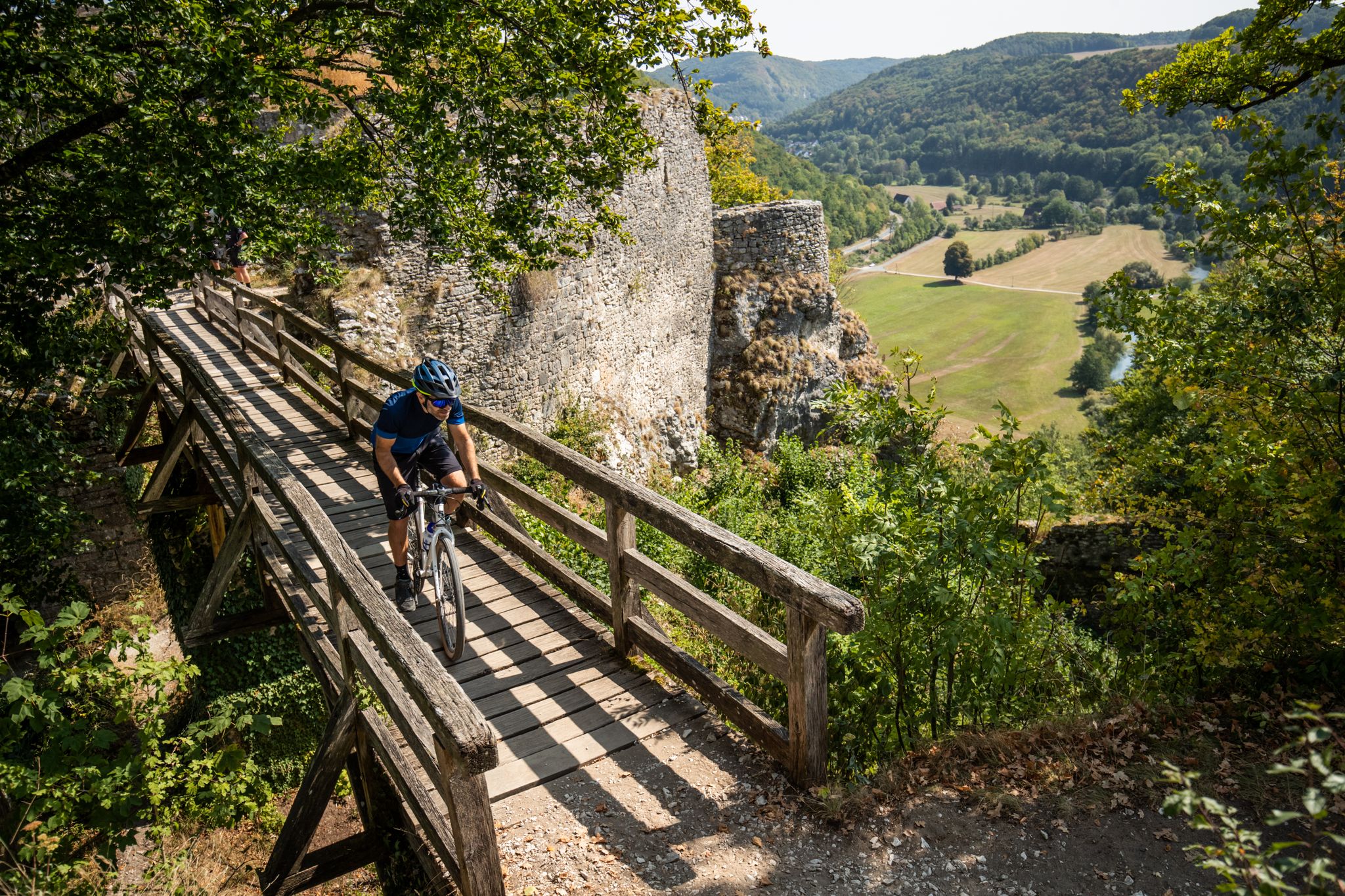
Castles, bikes and beer — a mountain biking paradise in Franconian Switzerland
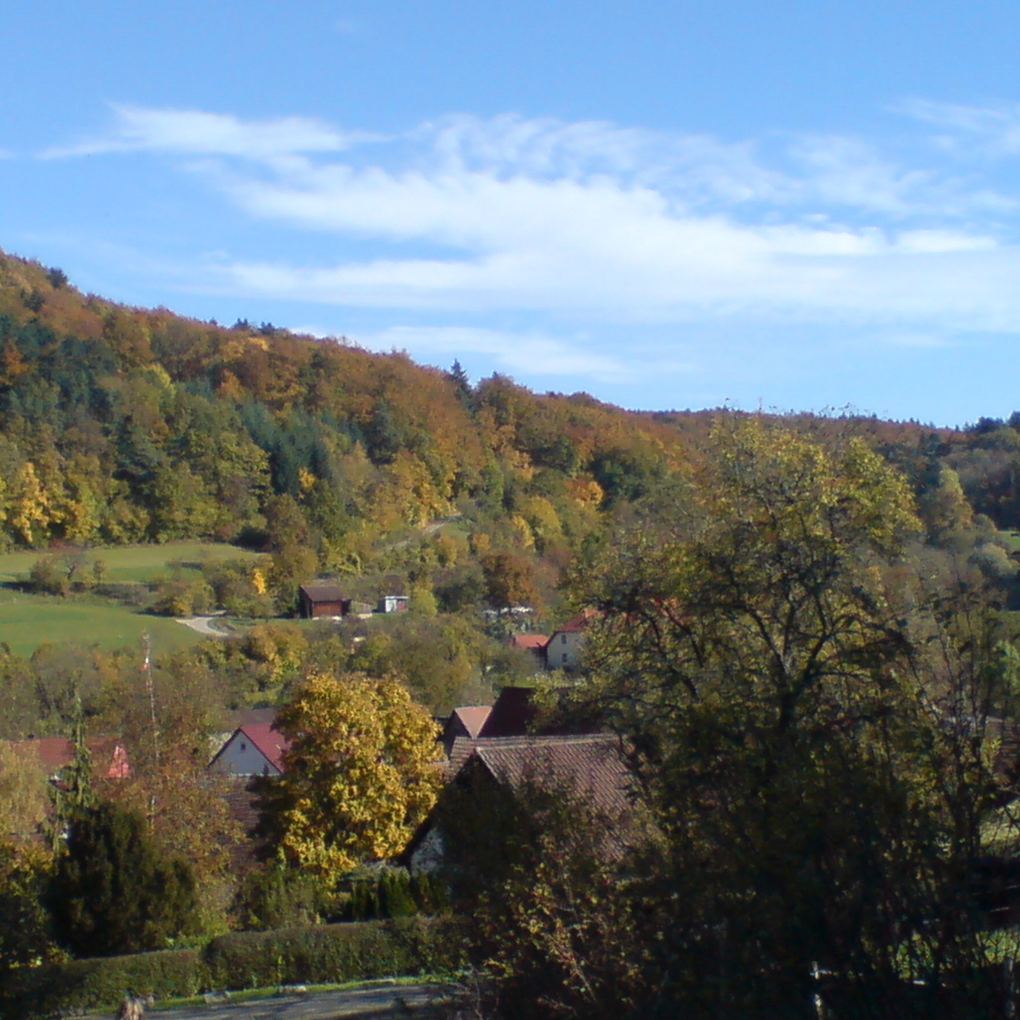
Hiking around Gräfenberg
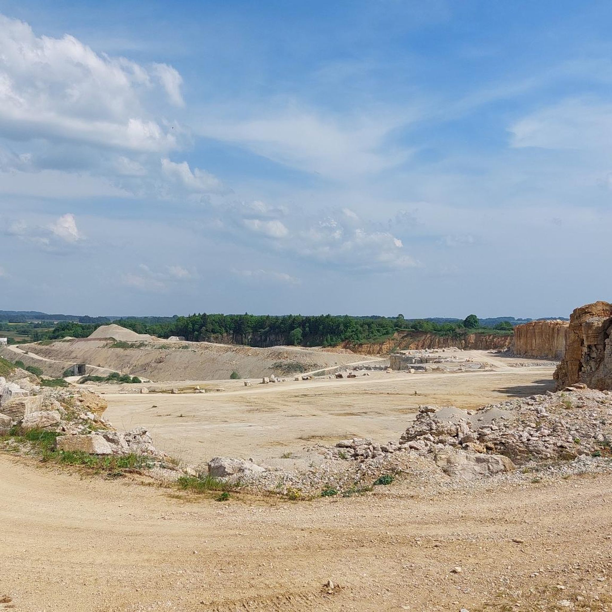
Cycling around Gräfenberg
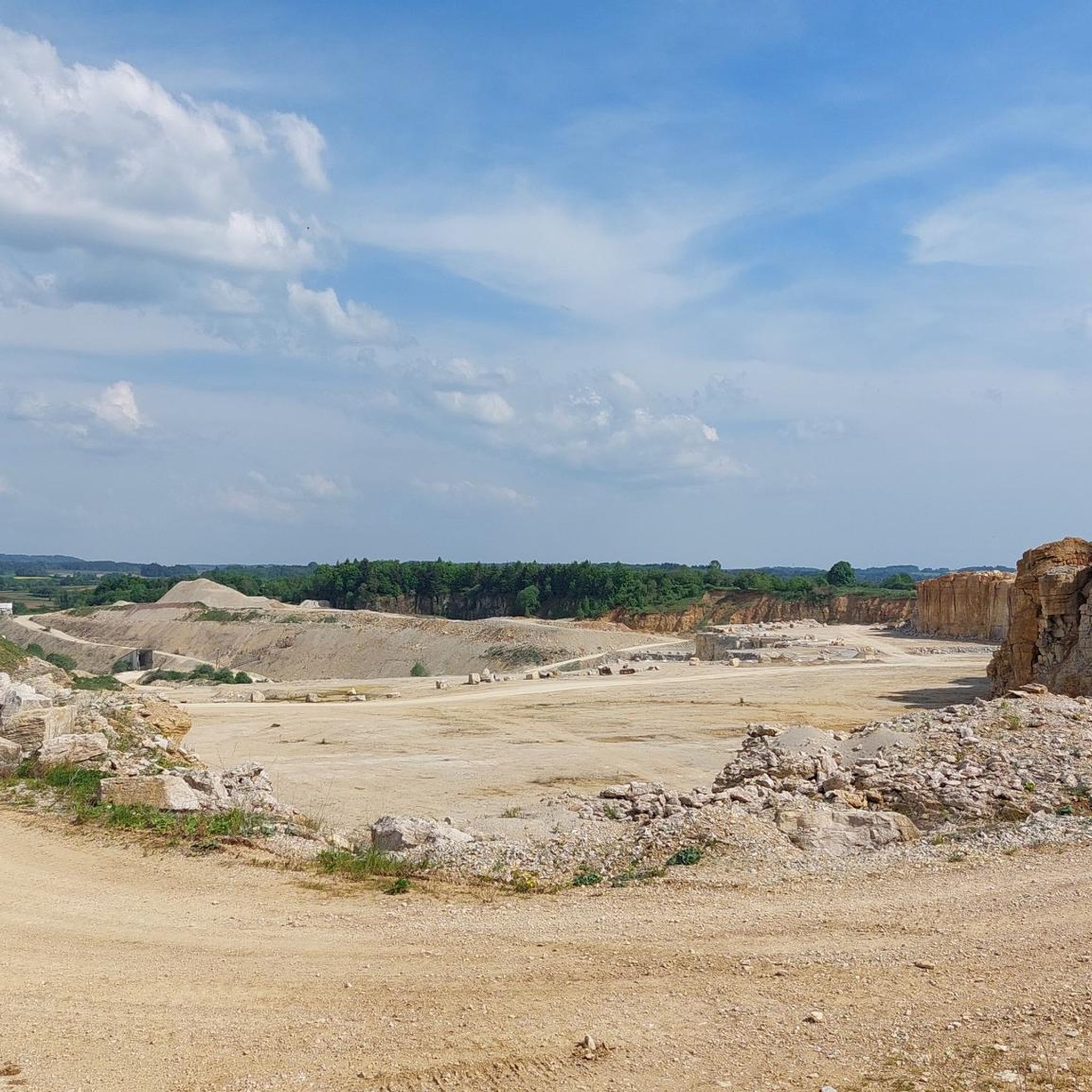
MTB Trails around Gräfenberg
Road Cycling Routes around Gräfenberg
Other adventures around Gräfenberg


Tips from the Community

In my opinion the best path Connection Leutenbach and St. Moritz - mostly hidden in the woods with a few nice views on the Leutenbach valley and beyond
0
0


Coming from Schlaifhausen, this is the first great view and a resting place after the climb.
3
1

Just the right place for a break.
0
0

Great view. A beautiful sea of flowers at this time of year.
2
1

It goes up and down over hill and especially dale, a nice walk or even climbing🫠
19
1
Frequently Asked Questions
How many mountaineering routes are available around Gräfenberg?
There are 10 mountaineering routes around Gräfenberg, offering a variety of experiences for different skill levels.
What natural highlights can I expect to see on mountaineering routes near Gräfenberg?
The region is rich in natural beauty. You can explore the picturesque Lillach Valley with its impressive sinter terraces and the tranquil Lillach Spring. The Walberla Plateau offers magnificent views and interesting rock formations, including the St. Walburga's Chapel and Statue. Some routes also feature the striking Drei Zinnen near Obertrubach.
Are there any easy mountaineering routes suitable for beginners around Gräfenberg?
Yes, there are several easier options. For instance, the Twin rock formation at Walberla – Cave at the Steinerne Frau loop from Leutenbach is an easy 3.5-mile route that takes about 1 hour 45 minutes to complete. Another easy option is the Moritz Spring – Kapuzinerfelsen Viewpoint loop from Leutenbach.
What is the best time of year for mountaineering in Gräfenberg?
The best times for mountaineering in Gräfenberg are spring and autumn. During these seasons, temperatures are mild, and the landscape is particularly vibrant with blooming flowers or colorful foliage, making for a more enjoyable experience.
Are there any challenging mountaineering routes for experienced climbers?
Yes, for those seeking a challenge, the Eibgrat – Eibgrat Ridge loop from Spies is a difficult 3.3-mile path that traverses the Eibgrat Ridge, offering demanding terrain and scenic views.
Can I find circular mountaineering routes in the Gräfenberg area?
Many of the mountaineering routes around Gräfenberg are designed as loops. Examples include the popular Twin rock formation at Walberla – Cave at the Steinerne Frau loop from Leutenbach and the Eibgrat – Tanzlinde Spies loop from Spies, which leads through varied forest and ridge landscapes.
Are there any viewpoints or panoramic spots along the mountaineering trails?
Absolutely. The Moritzberg Observation Tower offers panoramic views of the entire surrounding area. Additionally, the View of the Wiesent Valley from the Walberla provides another stunning vista.
What do other mountaineers say about the routes in Gräfenberg?
The mountaineering routes in Gräfenberg are highly rated by the komoot community, with an average score of 4.5 stars from 4 reviews. Many users appreciate the varied terrain, from rocky cliffs to dense forests, and the scenic beauty of Franconian Switzerland.
Are there any longer mountaineering routes for a full day out?
For a longer adventure, consider the Community Weißenohe – Gräfenberg Old Town loop from Weißenohe. This moderate route spans over 10 miles (16.1 km) and involves a significant elevation gain, making it suitable for a more extended mountaineering trip.
Are there any specific geological features to look out for?
The region is known for its unique geological formations. The Lillach Valley features impressive sinter terraces, and the Walberla Plateau is characterized by striking rock formations. The Rodenstein Summit, part of the Walberla, also offers interesting rock formations.
Is Gräfenberg well-connected by public transport for accessing mountaineering routes?
Gräfenberg is located on the edge of Franconian Switzerland, and while specific public transport details for trailheads are not provided, the town itself serves as a gateway to the region. It's advisable to check local transport schedules for connections to specific starting points.
Most popular routes around Gräfenberg
Most popular attractions around Gräfenberg

Get inspired with the komoot mobile app


Explore more
Browse the best Mountain Hikes & Routes in other regions.
