The best walks and hikes around Ballygilbert
4.7
(3)
44
hikers
5
hikes
Hiking around Ballygilbert offers diverse landscapes, blending coastal paths, rolling hills, woodlands, and beaches. The region provides direct access to the North Down coast, featuring picturesque walks and views across Belfast Lough. Trails also wind through country parks, offering shaded routes and varied flora. The terrain generally consists of gentle gradients, making it suitable for a range of walking abilities.
Best hiking trails around Ballygilbert
- The most popular hiking route is Ballyhornan to St Patrick's Well via Lecale Way —…
Last updated: October 1, 2026
4.0
(1)
20
hikers
Moderate hike. Good fitness required. Easily-accessible paths. Suitable for all skill levels.
5.0
(1)
7
hikers
6.54km
01:41
30m
30m
Easy hike. Great for any fitness level. Easily-accessible paths. Suitable for all skill levels.

6
hikers
9.28km
02:22
30m
30m
Moderate hike. Good fitness required. Easily-accessible paths. Suitable for all skill levels.
4
hikers
5.06km
01:19
40m
40m
Easy hike. Great for any fitness level. Easily-accessible paths. Suitable for all skill levels.
3
hikers
10.1km
02:37
60m
60m
Moderate hike. Good fitness required. Easily-accessible paths. Suitable for all skill levels.
Our route recommendations are based on thousands of hikes, rides, and runs completed by other people on komoot.
Start today with a free account
Your next adventure awaits.
Popular around Ballygilbert
Tips from the Community

Unfortunately the path was now impassable... swampy and impassable, so we turned back.
0
0

The vast coastline stretches out endlessly before you, and the panorama with the majestic Mourne Hills in the background creates a scene that is hard to put into words. The gentle waves touching the sand and the silence of the surroundings make you feel the vastness and freedom of this place.
1
0

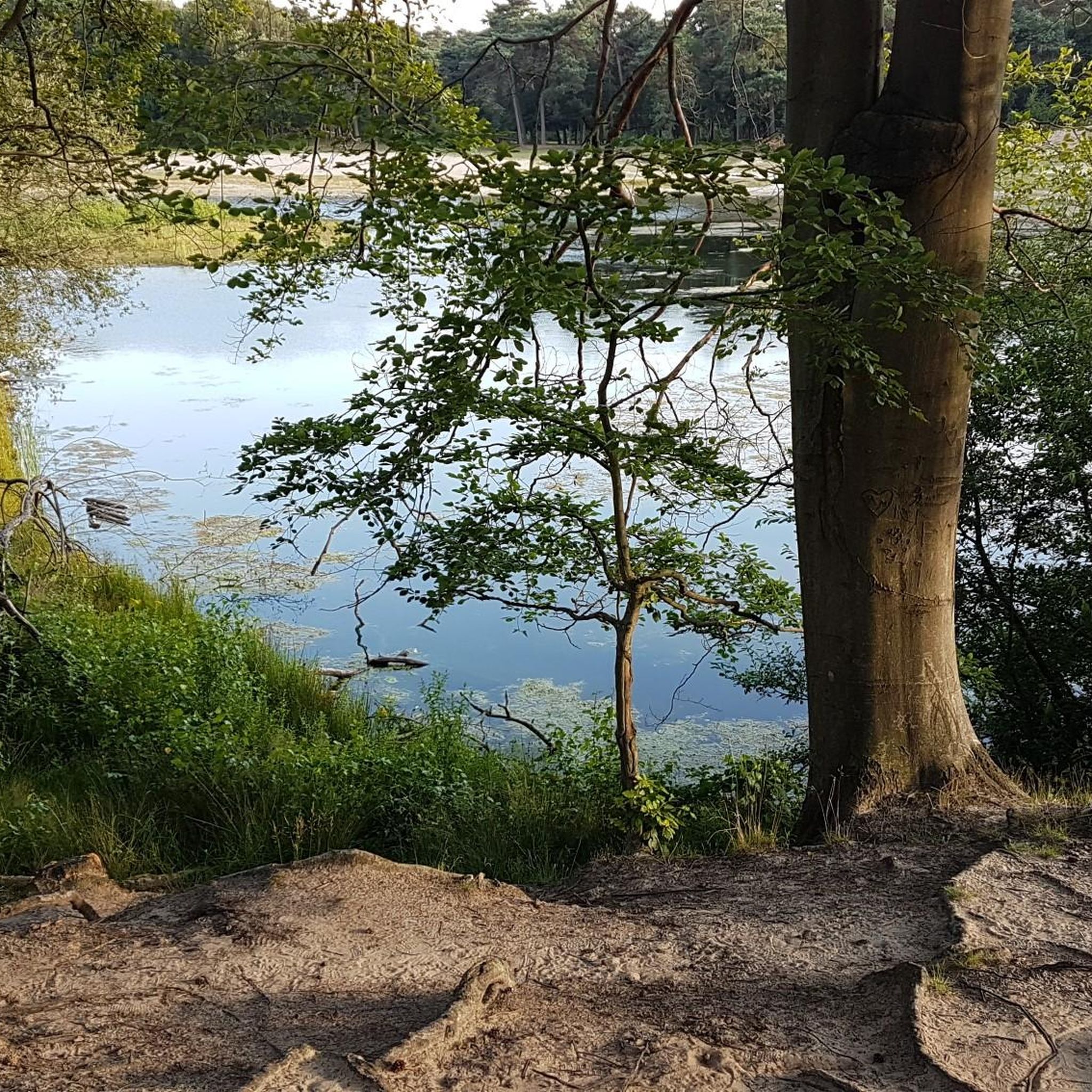
Here is a great vantage point to enjoy the best of the sensational River Quoile. Enjoy beautiful scenery of rounded hills and marshes as you pass the tranquil riverside and keep your eyes peeled for local bird and wildlife that are often seeing relaxing on the water.
2
0
Portnacoo is a small cove with a raised beach found along the Ballyhornan to Sheeplands path in Northern Ireland. It's a lovely spot to stop and have some lunch, or you could even brave a swim.
2
0
St Patrick's Well stands on a seashore near the townlands of Ardtole and Sheepland East on the Northern Ireland coast. The well is said to have healing properties and has been an ancient site of pilgrimage for many years.
0
0
Quoile Bridge is a six arch stone bridge that runs over the River Quoile. The bridge was built around 1680 and may be one of the oldest bridges in County Down!
3
0
Here is a great vantage point to enjoy the best of the sensational River Quoile. Enjoy beautiful scenery of rounded hills and marshes as you pass the tranquil riverside and keep your eyes peeled for local bird and wildlife that is often seeing relaxing on the water.
2
0

Beautiful views across the bay to the Mourne Hills AONB from the fine sandy beach.
2
0
Frequently Asked Questions
What types of landscapes can I expect to see while hiking around Ballygilbert?
Ballygilbert offers a diverse range of landscapes, including picturesque coastal paths with views across Belfast Lough, rolling hills, and tranquil woodlands. You'll find trails winding through areas like Crawfordsburn Country Park, providing a mix of shaded routes and open coastal scenery.
Are there any easy hiking trails suitable for beginners or families in Ballygilbert?
Yes, Ballygilbert features several easy trails. For instance, the Hiking loop from Ballycam ASSI is an easy 4.1-mile (6.5 km) path that leads through natural landscapes. Another accessible option is the River Quoile – Quoile Bridge loop from Downpatrick, which is 2.8 miles (4.4 km) and also considered easy.
Can I find circular hiking routes in the Ballygilbert area?
Yes, there are several circular routes available. The Hiking loop from Ballycam ASSI is a great example of an easy circular trail. For a moderate option, consider the Quoile Bridge – Quoile River View loop from Downpatrick, which offers riverine views.
Are the hiking trails in Ballygilbert dog-friendly?
Many of the trails in the Ballygilbert area, particularly those along the North Down Coastal Path and within country parks like Crawfordsburn Country Park, are generally dog-friendly. However, it's always recommended to keep dogs on a lead, especially in nature reserves or areas with livestock, and to check specific park regulations before your visit.
What are some notable attractions or landmarks I can see near the hiking trails?
While hiking around Ballygilbert, you can explore several interesting landmarks. These include historical sites like the Ballynoe Stone Circle, the impressive Down Cathedral, and the scenic St. John's Point Lighthouse. You might also encounter the bustling Ardglass Harbour or enjoy a View of the Mourne Mountains from Strangford & Lecale Beach.
What is the best time of year to go hiking in Ballygilbert?
The gentle gradients and varied landscapes of Ballygilbert make it suitable for hiking year-round. However, spring and summer offer the most pleasant weather for enjoying the coastal paths and woodlands, with longer daylight hours. Autumn provides beautiful foliage, while winter walks can be refreshing, though some paths might be muddy.
Are there any longer or more challenging hikes available?
While the terrain generally features gentle gradients, there are moderate hikes for those seeking a bit more distance. The Ballyhornan to St Patrick's Well via Lecale Way — Strangford & Lecale is a moderate 6.0-mile (9.6 km) coastal path. Another moderate option is the Wooden Steps to the Shore loop from Killough, which covers 6.3 miles (10.1 km).
How many hiking trails are there in Ballygilbert?
There are 5 hiking trails documented in Ballygilbert, offering a mix of easy and moderate options to explore the region's diverse landscapes.
What do other hikers say about the trails in Ballygilbert?
The hiking routes in Ballygilbert are highly regarded by the komoot community, with an average score of 4.8 stars from over 4 reviews. Hikers often praise the scenic coastal views, the tranquility of the woodland paths, and the accessibility of the trails for various fitness levels.
Is public transport available to access hiking trails in Ballygilbert?
Ballygilbert is located on the North Down coast, and while specific trailheads might require a short walk or local transport, the area is generally accessible. For trails along the North Down Coastal Path, public transport options like trains to Helens Bay or Bangor may provide access points, though checking local bus schedules for specific trail access is advisable.
Where can I find parking for hiking trails in Ballygilbert?
Parking facilities are typically available at popular starting points for trails, such as Crawfordsburn Country Park and near beaches like Crawfordsburn Beach. For specific routes, it's best to check the route details on komoot or local signage for designated parking areas.
Most popular routes around Ballygilbert
Most popular attractions around Ballygilbert

Get inspired with the komoot mobile app


Explore more
Browse the best Hikes in other regions.
