The best mountain hikes around Eglfing
4.6
(110)
1,146
hikers
11
hikes
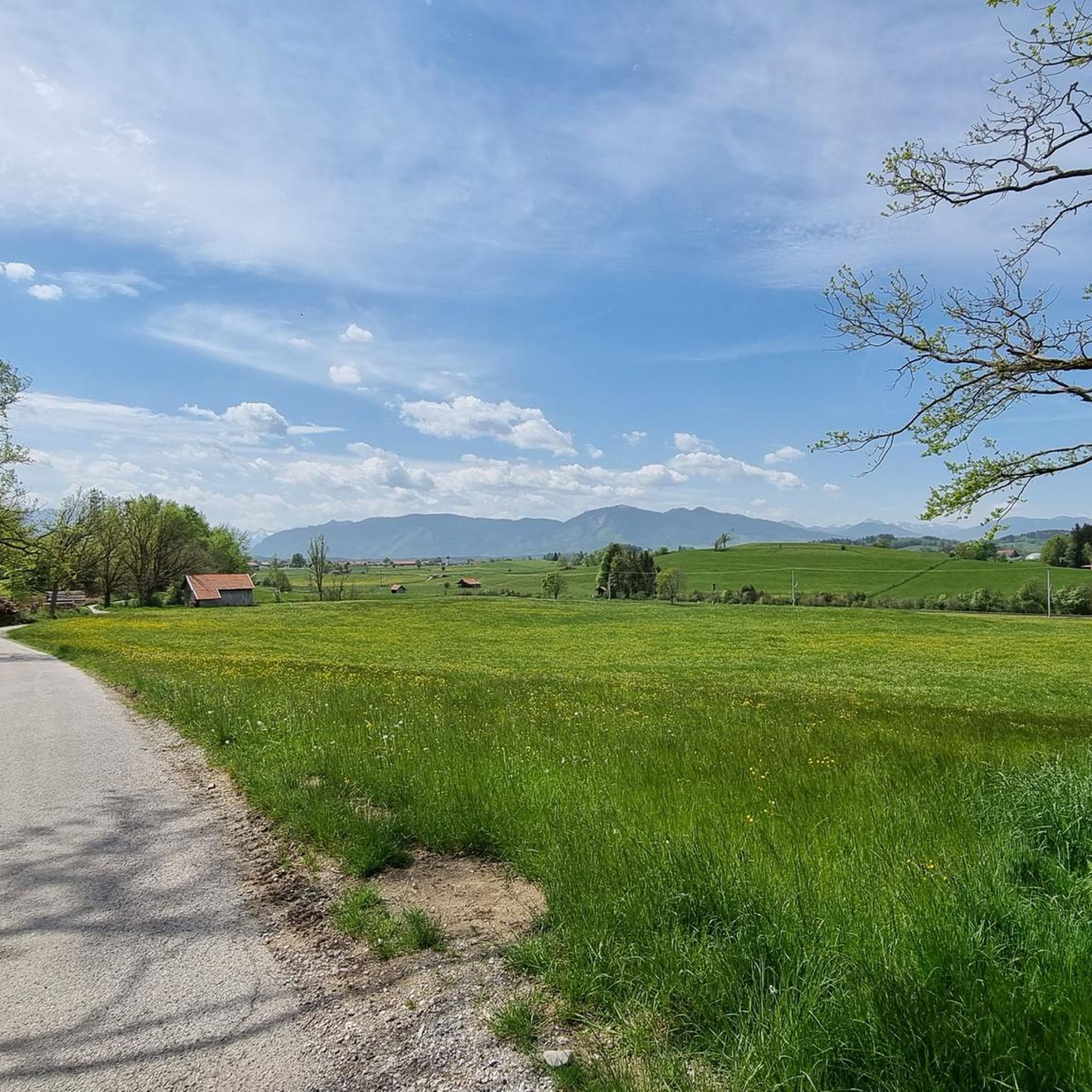
Mountaineering routes around Eglfing traverse a diverse landscape characterized by rolling hills, forested slopes, and scenic lake views in the Bavarian foothills. The region offers a variety of elevations, from gentle ascents around lakes to more challenging climbs towards prominent summits. These trails provide opportunities to explore both open vistas and sheltered woodlands, with varying Eglfing mountaineering trail duration options.
Best mountaineering routes around Eglfing
- The most popular mountaineering route is Hinteres Hörnle Summit – Stierkopf loop from Bad Kohlgrub, a 8.5 miles (13.7 km) trail that takes 5 hours 22 minutes to complete. This difficult route features significant elevation gain and panoramic views from the summits.
- Another top favourite among local mountaineers is Musikpunkt Peißenberg – View from Hohenpeißenberg loop from Peißenberg, a moderate 6.7 miles (10.9 km) path. This trail offers a balanced challenge with rewarding views from Hohenpeißenberg.
- Local mountaineers also love the Hinteres Hörnle Summit – Hörnle Alm loop from Bad Kohlgrub, a 8.6 miles (13.9 km) trail leading through varied terrain including alpine pastures and forested sections, often completed in about 5 hours 34 minutes.
- Mountaineering around Eglfing is defined by forested hills, clear lakes, and accessible summits, offering a range of experiences from moderate ascents to more advanced mountaineering trails Eglfing. The network provides options for different ability levels, ensuring a suitable challenge for every mountaineer.
- The routes in Eglfing are highly rated by the komoot community with an average score of 4.7 stars from over 100 reviews. More than 1,000 mountaineers have used komoot to explore Eglfing's varied terrain.
Last updated: October 5, 2026
4.9
(24)
322
hikers
13.7km
05:22
800m
800m
Hard mountaineering route. Very good fitness required. Mostly accessible paths. Sure-footedness required.
4.9
(9)
34
hikers
10.9km
03:27
390m
390m
Moderate mountaineering route. Good fitness required. Mostly accessible paths. Sure-footedness required.

4.5
(2)
13
hikers
13.9km
05:27
780m
780m
Hard mountaineering route. Very good fitness required. Mostly accessible paths. Sure-footedness required.
13
hikers
Moderate mountaineering route. Good fitness required. Easily-accessible paths. Suitable for all skill levels.
2
hikers
9.51km
02:28
60m
60m
Moderate mountaineering route. Good fitness required. Easily-accessible paths. Suitable for all skill levels.
Get access to more routes and recommendations from other explorers.
Already have an account?
Our route recommendations are based on thousands of hikes, rides, and runs completed by other people on komoot.
Start today with a free account
Your next adventure awaits.

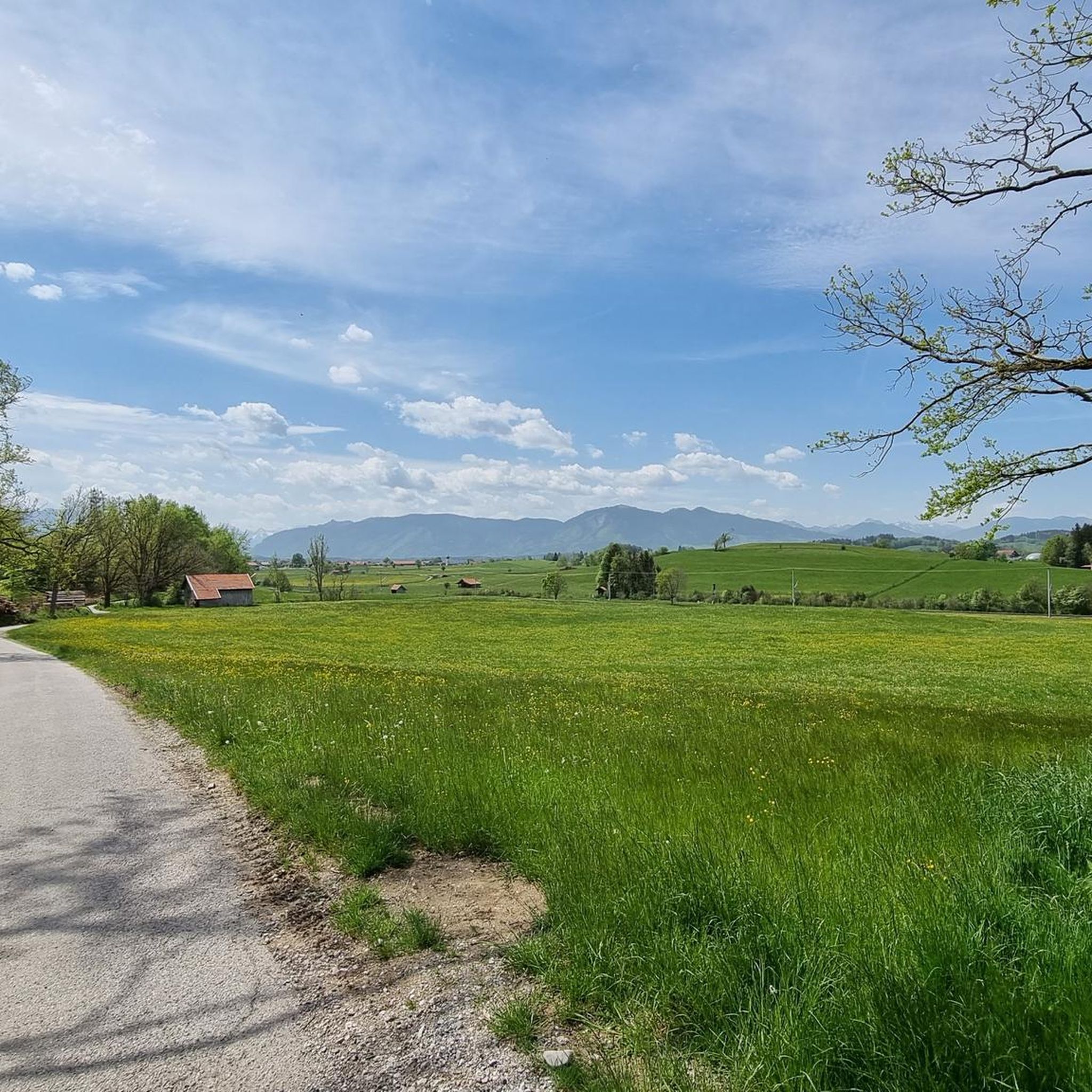
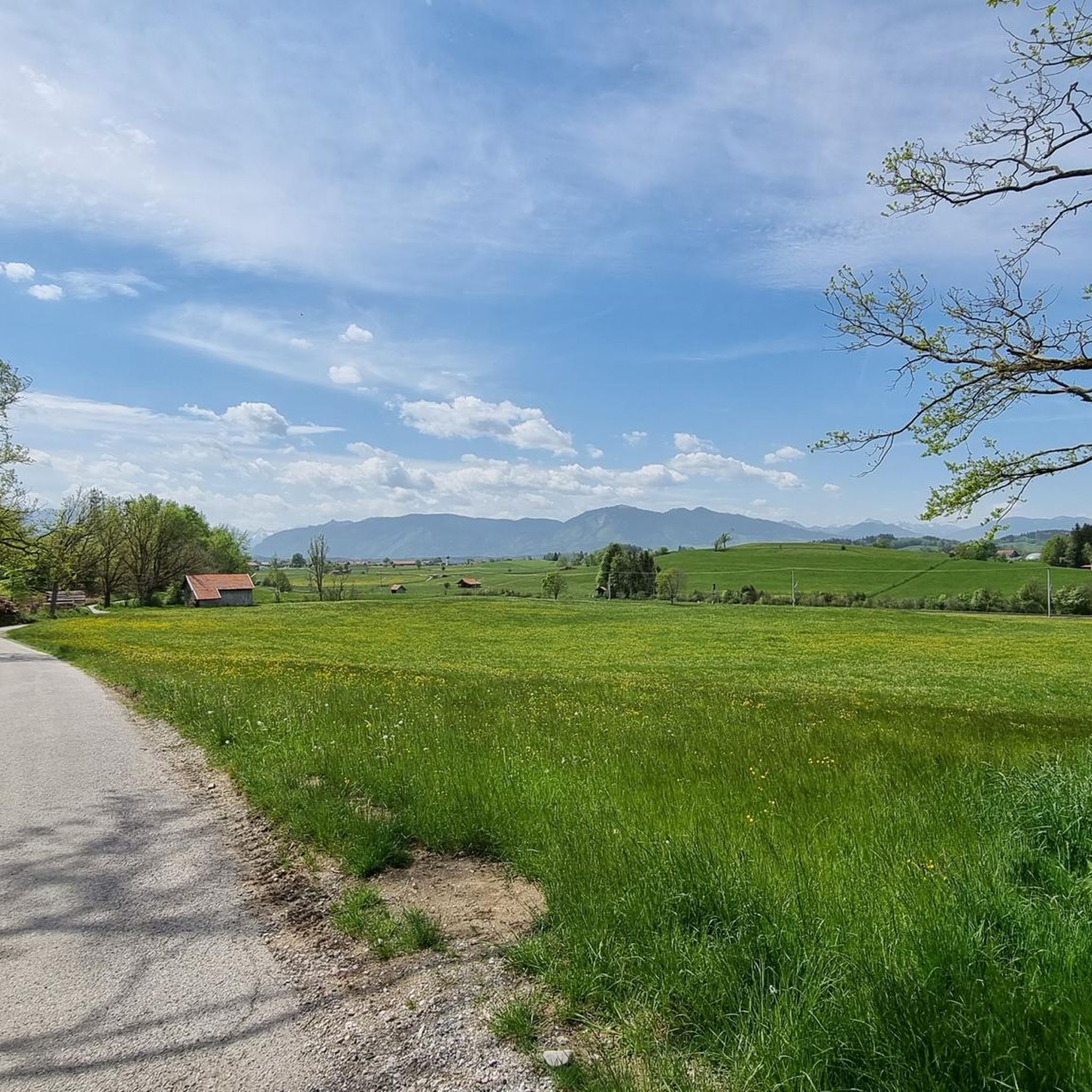
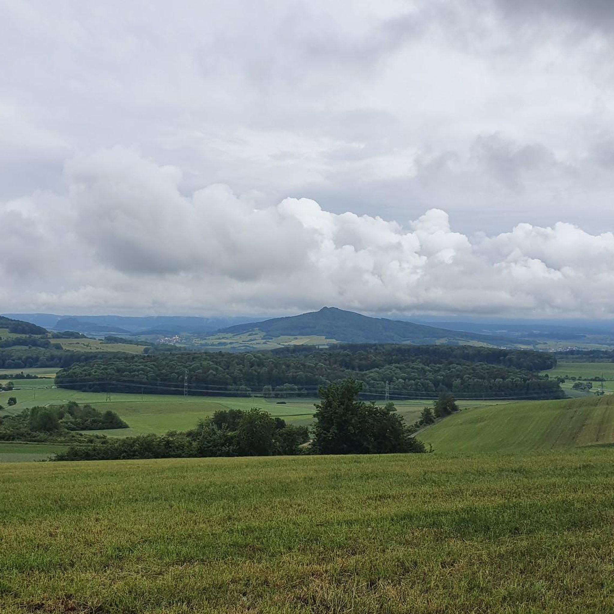
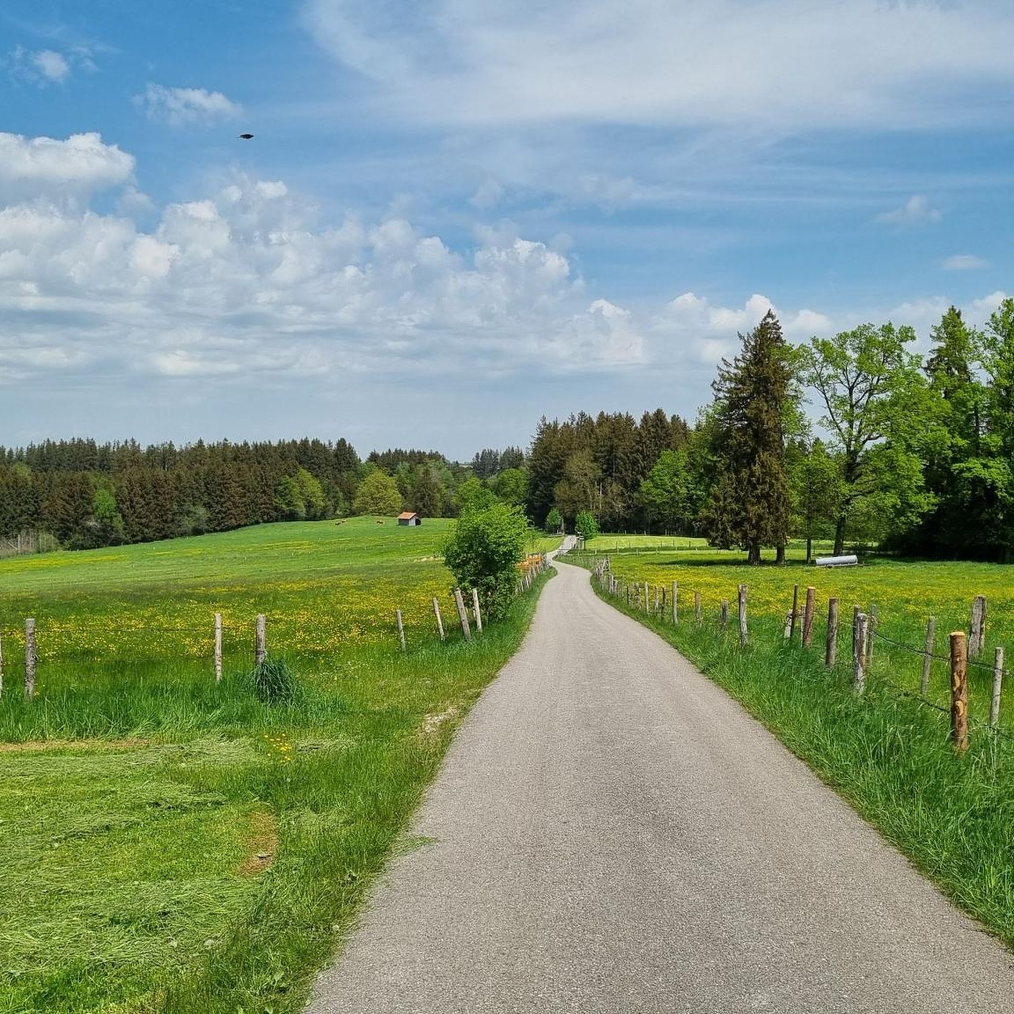
Tips from the Community


Very nice forest bathing spot, not much going on 👍😎💦
0
0

Here the path passes by one of the typical crosses
1
0
Great trail above the Riegsee, with a beautiful view of the Alps
2
0
Beautiful spot for swimming at Riegsee
1
0

Christiane Völkel commented in a few sentences on the quote »I am curious to see what God still has planned for me« by the Swedish writer Selma Lagerlöf: + “Salvation, completion, redemption, which are promised to us, are not simply there. They are given to us in such a way that hope fills us… with which we can cope with our lives. (…) How do we find such reliable hope, and how can we let it grow within us? I think it grows from encountering God.” With the statement of this impulse, I also wish all those who – as here – encounter a small sacred monument in the form of a wayside cross, a moment of encounter with God that gives hope.
1
0
Great view in all directions from Bayrischen Rigi
1
0
Beautiful pilgrimage church Mariä Himmelfahrt on the Hohen Peißenberg
1
0
Frequently Asked Questions
How many mountaineering routes are available around Eglfing?
There are 12 mountaineering routes documented around Eglfing on komoot, offering a variety of experiences for different skill levels.
What is the typical difficulty level of mountaineering routes in Eglfing?
The mountaineering routes around Eglfing are primarily moderate to difficult. There are 7 moderate routes and 5 difficult routes, ensuring a suitable challenge for most mountaineers.
Are there any family-friendly mountaineering options near Eglfing?
While there are no routes explicitly rated as 'easy' for mountaineering, some moderate trails with less elevation gain might be suitable for families with older children or those looking for a less strenuous experience. For example, the Great Ostersee – View of the Ameissee and the moorland loop from Schwaigerinsel is a moderate 8.6 km route with minimal elevation gain.
What are some challenging mountaineering routes for experienced hikers?
For experienced mountaineers, routes like the Hinteres Hörnle Summit – Stierkopf loop from Bad Kohlgrub offer significant elevation gain and panoramic views. Another demanding option is the Hinteres Hörnle Summit – Hörnle Alm loop from Bad Kohlgrub, which also features challenging terrain and takes over 5 hours to complete.
What is the best time of year for mountaineering in the Eglfing region?
The best time for mountaineering in the Bavarian foothills around Eglfing is typically from late spring to early autumn (May to October). During these months, the weather is generally more stable, and trails are clear of snow, offering optimal conditions for exploring the diverse landscape.
Are there any circular mountaineering routes around Eglfing?
Yes, many of the mountaineering routes in the Eglfing area are circular. Examples include the Musikpunkt Peißenberg – View from Hohenpeißenberg loop from Peißenberg and the View of Riegsee – View of Riegsee and the Alps loop from Riegsee, allowing you to start and end at the same point.
What kind of views can I expect on these mountaineering routes?
Mountaineering routes around Eglfing offer diverse views, ranging from rolling hills and forested slopes to scenic lake vistas and panoramic mountain backdrops from prominent summits. You can expect to see clear lakes like the Great Ostersee and the Lake Staffelsee, as well as expansive views from points like the Zeitberg Summit.
Are there any places to stop for refreshments or food along the routes?
Yes, the region offers several huts and mountain inns where you can stop for refreshments. Notable options include the Bromberg Alm and the Kreut-Alm Mountain Inn. You might also find charming spots like the Fischerhäusl at Lake Bayersoien.
What are some interesting natural attractions or landmarks to see while mountaineering?
Beyond the stunning landscapes, you can explore natural highlights such as the Langer Filz boardwalk in Murnauer Moos and the expansive Murnauer Moos Nature Reserve. These areas provide unique insights into the region's ecology.
What do other mountaineers say about the routes in Eglfing?
The mountaineering routes around Eglfing are highly regarded by the komoot community, with an average rating of 4.7 stars from over 100 reviews. Users often praise the diverse terrain, rewarding views, and the well-maintained paths that make for an enjoyable experience.
What kind of gear should I bring for mountaineering in Eglfing?
Given the moderate to difficult nature of many routes and varying elevations, sturdy hiking boots with good ankle support are essential. Layers of clothing are recommended to adapt to changing weather conditions, and bringing enough water and snacks is crucial, especially for longer tours. Trekking poles can also be beneficial on steeper sections.
Most popular routes around Eglfing
Most popular attractions around Eglfing

Get inspired with the komoot mobile app


Explore more
Browse the best Mountain Hikes & Routes in other regions.
