The best mountain hikes around Burggen
5.0
(4)
54
hikers
4
hikes
Mountaineering routes around Burggen traverse a landscape characterized by rolling hills, deep gorges, and forested areas in the Weilheim-Schongau region. The terrain includes features like the Auerberg and the Feuerstein Gorge, offering varied elevation changes. These routes often follow natural contours, providing views of the surrounding countryside. The area presents a mix of open paths and sections through woodlands.
Best mountaineering routes around Burggen
- The most popular mountaineering route is View from Auerberg – View from Buffernandel loop from Stötten…
Last updated: May 20, 2026
22
hikers
8.59km
02:53
300m
300m
Moderate mountaineering route. Good fitness required. Mostly accessible paths. Sure-footedness required.
5.0
(2)
10
hikers
9.08km
03:01
360m
360m
Moderate mountaineering route. Good fitness required. Mostly accessible paths. Sure-footedness required.

Sign up for free
5.0
(1)
12
hikers
7.53km
02:27
240m
240m
Moderate mountaineering route. Good fitness required. Mostly accessible paths. Sure-footedness required.
5.0
(1)
7
hikers
8.84km
02:52
270m
270m
Moderate mountaineering route. Good fitness required. Mostly accessible paths. Sure-footedness required.
3
hikers
4.24km
01:23
180m
180m
Easy mountaineering route. Great for any fitness level. Easily-accessible paths. Suitable for all skill levels.
Our route recommendations are based on thousands of hikes, rides, and runs completed by other people on komoot.
Start today with a free account
Your next adventure awaits.
Login or Signup
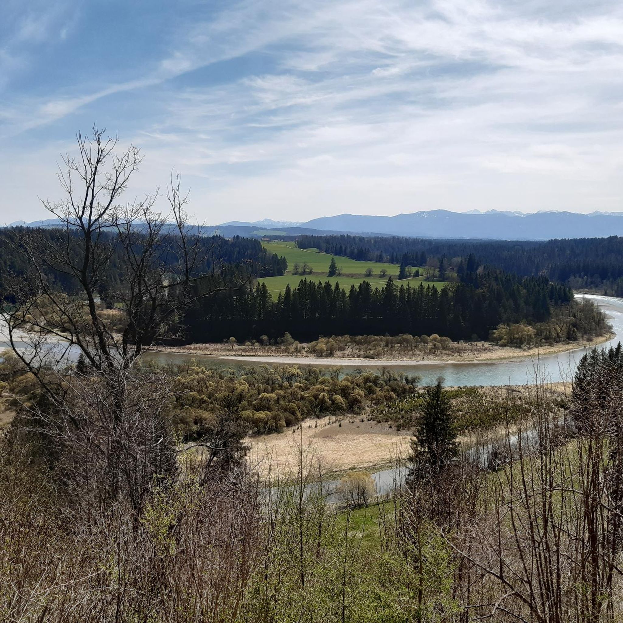
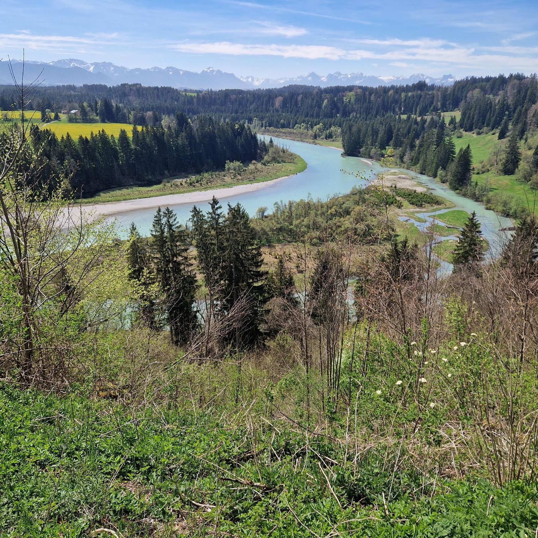
Tips from the Community

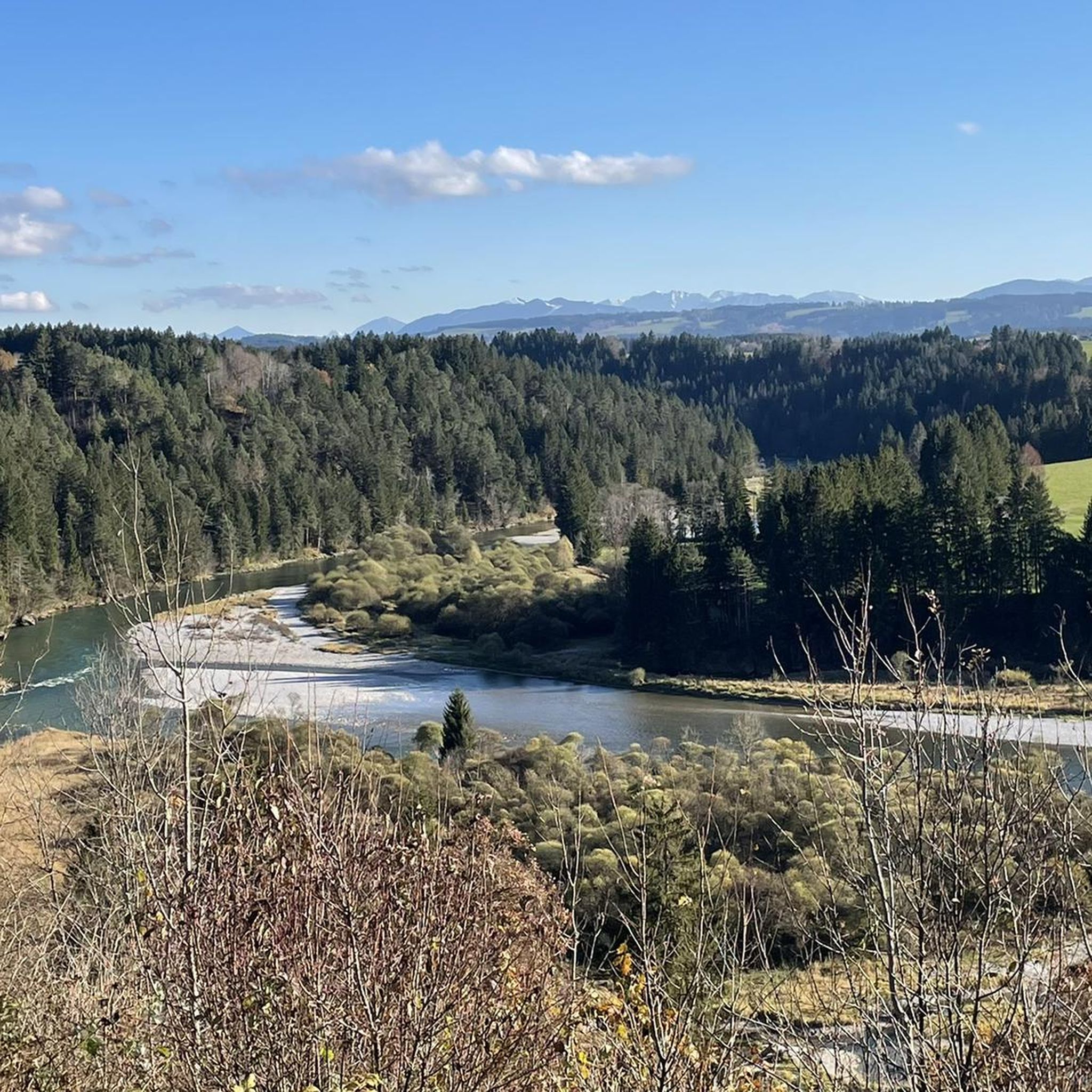
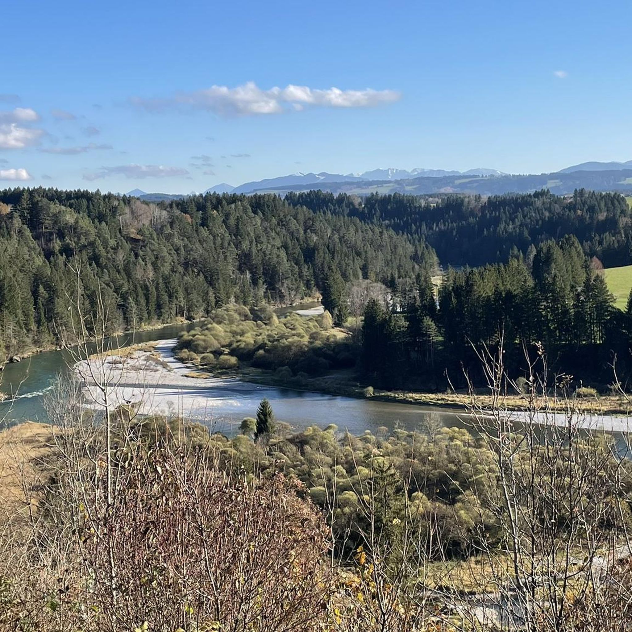
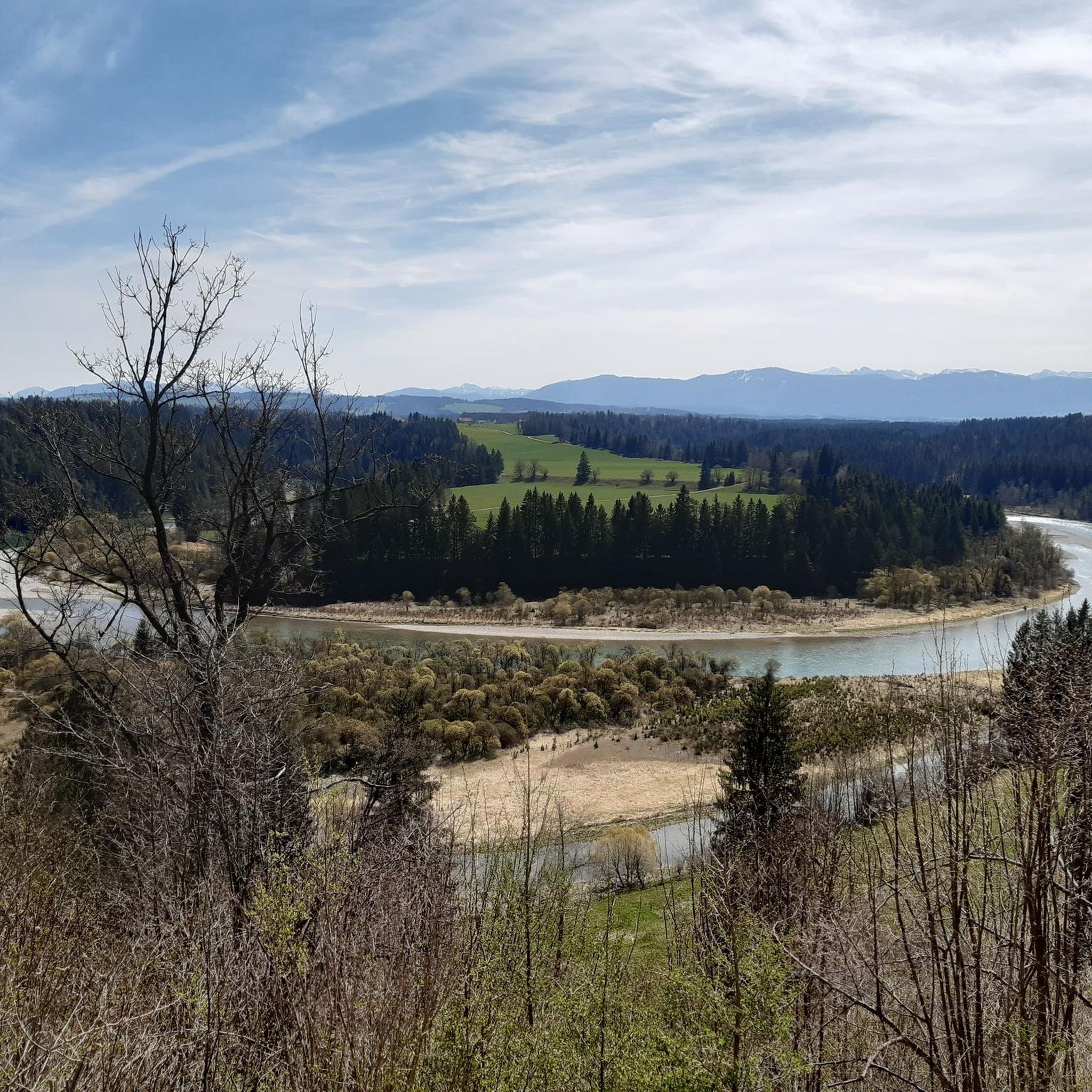
On the way up the Jägersteig there are always fantastic views of the Alps, the Auerbergland and the Pfaffenwinkel.
3
0
The ascent from Bernbeuren to the Auerberg through the Feuerstein Gorge and the adjoining Jägersteig trail is a popular hike in the western Pfaffenwinkel region. The wildly romantic lower section of the trail mostly follows the stream, while further up it frequently crosses small footbridges from one side of the stream to the other.
3
0

Schnalz 901m above sea level Alpine panorama
1
0
The rooty Jägersteig trail follows the Feuerstein Gorge on the way to the summit of the Auerberg. Along the trail, there are also wonderful views of the Allgäu, Tannheim, and Ammergau Alps.
1
0
You should definitely not miss the short detour to the “Buffernandl”, located south of the Auersberg, with benches and a magnificent panorama that stretches across the Alpine foothills to the Ammergau and Allgäu Alps.
1
0
The Buffernandl, south of the Auerberg, is a popular resting place with a magnificent panorama that stretches across the Alpine foothills to the Ammergau and Allgäu Alps.
1
0
Station 2 (Hedge Habitat) of the approximately four-kilometer-long "VIA DAMASIA - PATHS TO THE ROMANS AT AUERBERG" adventure trail
1
0
Frequently Asked Questions
What kind of mountaineering routes can I expect around Burggen?
The Burggen area offers a variety of mountaineering routes characterized by rolling hills, deep gorges, and forested paths. You'll find options that traverse natural contours, providing scenic views of the surrounding countryside, including features like the Auerberg and the Feuerstein Gorge. All routes currently listed are of moderate difficulty.
Are there any family-friendly mountaineering options near Burggen?
While all listed mountaineering routes are rated as moderate, families with some hiking experience can enjoy the varied terrain. For a slightly shorter option, consider the Feuerstein Gorge – Feuerstein Gorge loop from Bernbeuren, which is 4.5 miles long and takes about 2 hours 22 minutes to complete, leading through a distinctive gorge.
Can I bring my dog on the mountaineering routes in Burggen?
Many of the trails around Burggen are suitable for dogs, especially those that traverse forested areas and open paths. It's always advisable to keep your dog on a leash, particularly in areas with wildlife or near livestock. The Schnalz – Schnalz Höhle - Teufelsküche loop from Ramsau offers varied terrain that dogs typically enjoy, exploring the Schnalz area, a cave, and the Teufelsküche rock formation.
Are there circular mountaineering routes available?
Yes, many of the mountaineering routes around Burggen are designed as circular loops, allowing you to start and end at the same point. For instance, the popular View from Auerberg – View from Buffernandel loop from Stötten am Auerberg is a 5.3-mile circular trail offering panoramic views.
What are some interesting natural features or landmarks to see along the routes?
The routes often pass by significant natural and historical sites. You can explore the distinctive Feuerstein Gorge, or discover the Schnalz area with its cave and the unique Teufelsküche rock formation. For broader views, the Auerberg offers panoramic vistas. Nearby attractions also include the Wieskirche (Wies Pilgrimage Church) and the Lech Rapids in Lechbruck.
What do other mountaineers say about the routes in Burggen?
The mountaineering routes in Burggen are highly rated by the komoot community, with an average score of 5.0 stars from over 4 reviews. More than 50 mountaineers have used komoot to explore the varied terrain, often praising the scenic views and well-maintained paths.
Are there any shorter or easier mountaineering routes for beginners?
While most routes are moderate, the Schnalz loop from Böbing is an easier option, covering 2.7 miles and taking approximately 1 hour 24 minutes. This route still provides a good introduction to the region's landscape without significant elevation challenges.
What is the best time of year for mountaineering in Burggen?
The best time for mountaineering in Burggen is typically from spring through autumn (May to October), when the weather is generally mild and the trails are clear of snow. During these months, you can fully appreciate the rolling hills and forested landscapes. Always check local weather conditions before heading out.
Are there places to eat or drink near the mountaineering trails?
Yes, there are several huts and facilities in the broader Burggen area where you can stop for refreshments. Notable options include the Mooshütte and the Kesslalm Cyclists' Rest Stop on the Via Claudia Augusta, which are popular spots for hikers and cyclists alike.
Is parking available at the trailheads?
Parking is generally available near the starting points of many routes, especially in villages like Stötten am Auerberg, Ramsau, and Bernbeuren. Specific parking information can often be found on the individual route pages on komoot, or by checking local signage upon arrival.
How many mountaineering routes are there in the Burggen area?
Komoot currently lists 4 distinct mountaineering routes around Burggen, all of which are rated as moderate difficulty. These routes offer a diverse experience of the region's natural beauty.
Are there any longer mountaineering routes for experienced hikers?
For those seeking a longer challenge, the Feuerstein Gorge – Feuerstein Gorge loop from Bernbeuren, at 5.4 miles and taking approximately 2 hours 51 minutes, offers a more extended exploration of the distinctive gorge and surrounding terrain.
Most popular routes around Burggen
Most popular attractions around Burggen

Get inspired with the komoot mobile app


Explore more
Browse the best Mountain Hikes & Routes in other regions.
