The best mountain hikes around Böbing
4.5
(108)
1,134
hikers
25
hikes
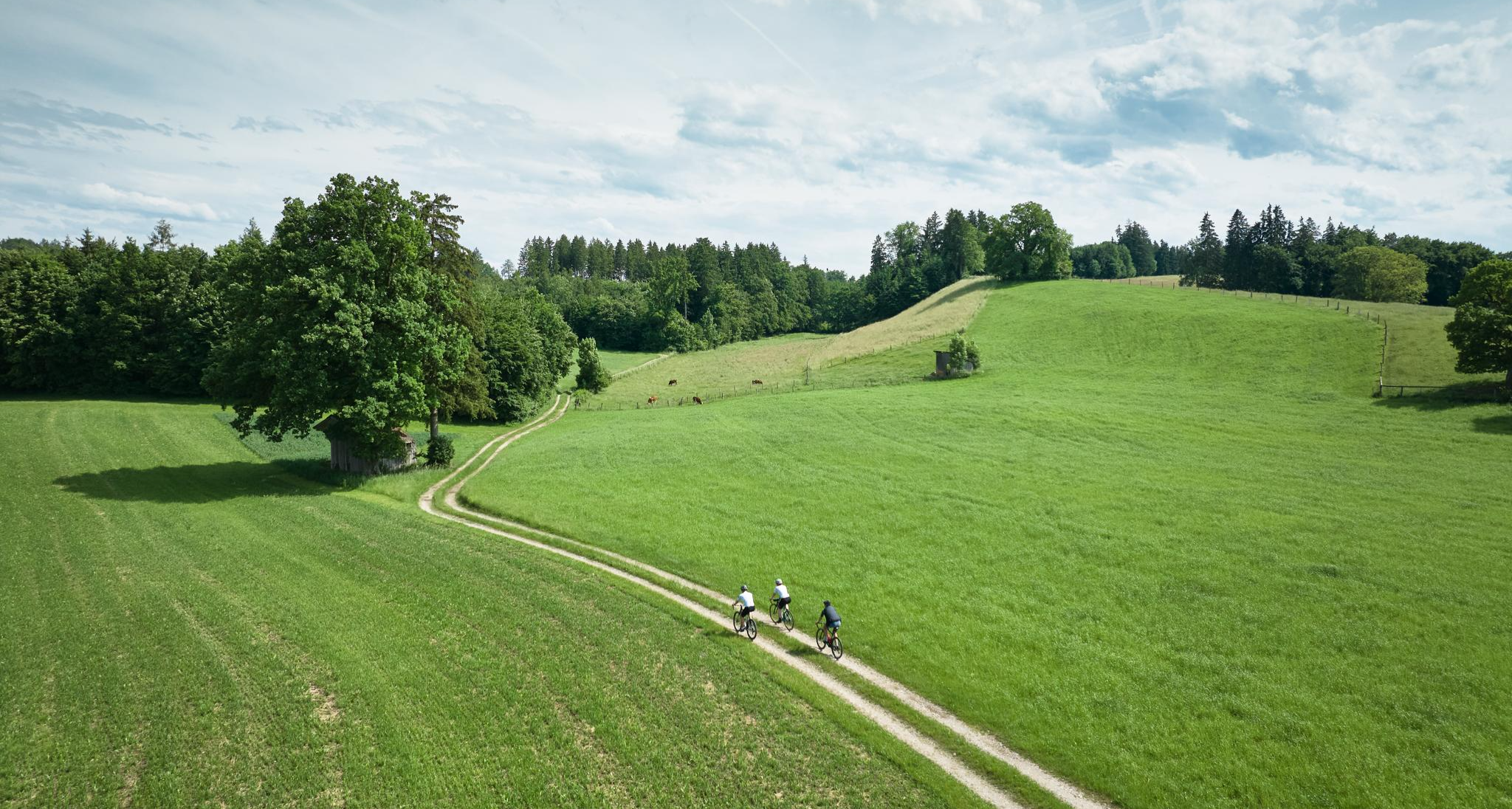
Mountaineering routes around Böbing are situated in the pre-Alpine Pfaffenwinkel region of Upper Bavaria, providing access to the Ammergau Alps. The landscape features diverse trails, offering panoramic views of distant Alpine ranges including the Ammergau Alps, Estergebirge, Wetterstein, and Karwendel Mountains, alongside picturesque lakes. This area presents a variety of mountaineering experiences, ranging from moderate trails to more challenging alpine terrain. The region is characterized by its pre-Alpine scenery, natural moor landscapes like Murnauer Moos, and the Ammer Gorge.
Best…
Last updated: July 29, 2026
4.9
(9)
34
hikers
10.9km
03:31
410m
410m
Moderate mountaineering route. Good fitness required. Mostly accessible paths. Sure-footedness required.
5.0
(4)
18
hikers
Moderate mountaineering route. Good fitness required. Mostly accessible paths. Sure-footedness required.

Sign up for free
5.0
(2)
12
hikers
9.06km
03:01
360m
360m
Moderate mountaineering route. Good fitness required. Mostly accessible paths. Sure-footedness required.
2
hikers
5.12km
01:37
210m
210m
Easy mountaineering route. Great for any fitness level. Easily-accessible paths. Suitable for all skill levels.
3.0
(1)
6
hikers
12.3km
04:04
450m
450m
Moderate mountaineering route. Good fitness required. Mostly accessible paths. Sure-footedness required.
Get access to more routes and recommendations from other explorers.
Sign up for free
Already have an account?
Our route recommendations are based on thousands of hikes, rides, and runs completed by other people on komoot.
Start today with a free account
Your next adventure awaits.
Login or Signup
Other adventures around Böbing

Tips from the Community

Beautiful view in all directions that you can enjoy from the Hohen Peißenberg
0
0
Great view in all directions from Bayrischen Rigi
1
0
Beautiful pilgrimage church Mariä Himmelfahrt on the Hohen Peißenberg
1
0
Great view of the mountains
1
0
Small Herz-Jesu chapel on the path on the western side of Hohenpeißenberg
1
0
Beautiful view of the Alps mountain range
1
0

So, if you look south from the Hohen Peißenberg hill next to the Church of the Assumption of Mary, you can definitely see into the Ammer Valley. To see the Loisach River, you'd have to look as far as Penzberg, Murnau, or Garmisch-Partenkirchen. That might be difficult. Maybe I'll remember to bring my binoculars next time. Let's see if I can spot the Loisach in the distance, or if hills and mountains are in the way.
1
0

It's simply beautiful here, and you're rarely alone. Please keep that in mind on weekends 😉 Great views and lots of trails to choose from.
1
0
Frequently Asked Questions
What types of mountaineering routes can I find around Böbing?
Böbing, nestled in the pre-Alpine region, offers a diverse range of mountaineering experiences. You'll find everything from moderate trails suitable for a good day out to more challenging alpine terrain. The region is known for its stunning pre-Alpine scenery, including natural moor landscapes like the Murnauer Moos and the scenic Ammer Gorge.
How many mountaineering routes are available in the Böbing area?
There are over 25 mountaineering routes around Böbing, catering to various skill levels. This includes 2 easy routes, 17 moderate routes, and 8 difficult routes, ensuring options for both beginners and experienced mountaineers.
Are there any easy mountaineering routes suitable for beginners or families?
Yes, there are a few easier options. For a pleasant and less strenuous experience, consider the View from Hohenpeißenberg – Herz-Jesu Chapel loop from Hohenpeißenberg. This easy route covers about 5.1 km and offers lovely views without significant elevation gain, making it suitable for those new to mountaineering or families.
Which routes offer the best panoramic views?
Many routes in Böbing boast incredible views. The View from Hohenpeißenberg – View from the Hoher Peißenberg loop from Peißenberg is highly recommended for its expansive vistas from Hohenpeißenberg. Additionally, the region's peaks like Hinteres Hörnle and Stierkopf are known for panoramic views that can extend to Lake Starnberg and Staffelsee on clear days.
Are there any circular mountaineering routes in Böbing?
Yes, many routes around Böbing are designed as loops, allowing you to start and end at the same point. A popular moderate circular route is the Totem Pole at Hoher Peißenberg – View from Hohenpeißenberg loop from Peißenberg, which covers about 12.4 km and offers diverse scenery.
What interesting natural landmarks or attractions can I see along the routes?
The Böbing area is rich in natural beauty. You can explore highlights such as the Vorderes Hörnle summit, walk along the Langer Filz boardwalk in Murnauer Moos, or visit the Kalkofensteg Wooden Bridge. The Hoher Peißenberg Summit and Pilgrimage Church is another notable landmark offering both natural beauty and cultural significance.
Are there any challenging mountaineering routes for experienced hikers?
Absolutely. For those seeking a more demanding experience, Böbing offers several challenging routes. Some tours to peaks like Klammspitze or Große Klammspitze feature steep terrain and even sections secured with wire ropes, providing a true alpine feel that requires sure-footedness and alpine experience.
Can I bring my dog on the mountaineering trails in Böbing?
Many trails in the Böbing region are dog-friendly, but it's always advisable to check specific route details for any restrictions or requirements, especially in nature reserves like the Murnauer Moos. Ensure your dog is well-behaved and kept on a leash where necessary, particularly around livestock or wildlife.
Are there any mountain huts or places to stop for refreshments along the trails?
Yes, the region has mountain huts that provide resting points and refreshments. The Hörnle Hut, located at 1,390 meters, is a popular stop for hikers, accessible by foot or via the Hörnlebahn, offering snacks and drinks. It's a great place to refuel during your mountaineering adventure.
What do other mountaineers say about the routes in Böbing?
The mountaineering routes in Böbing are highly regarded by the komoot community, holding an impressive average score of 4.5 stars from over 100 reviews. Mountaineers often praise the diverse terrain, the stunning panoramic views of the Alps and surrounding lakes, and the well-maintained paths that cater to various fitness levels.
How can I access the mountaineering trailheads using public transport?
While specific public transport details for every trailhead vary, Böbing and its surrounding villages are generally connected by local bus routes. It's recommended to check local bus schedules in advance, especially for routes that start further afield, to plan your access to the trailheads effectively.
Are there any routes that follow rivers or gorges?
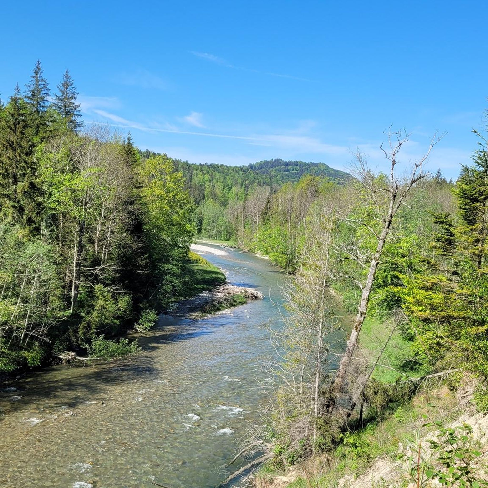
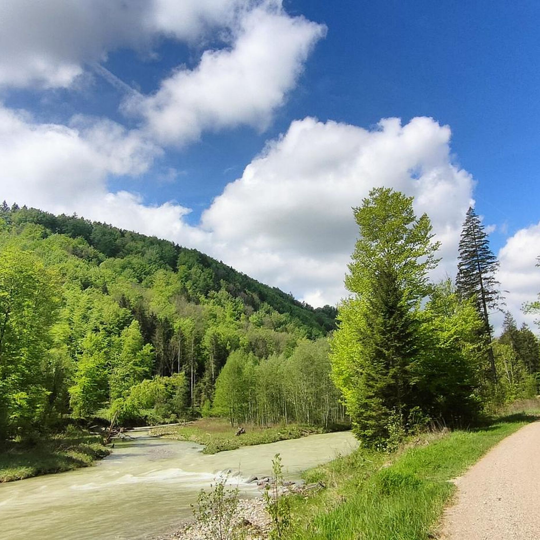
Yes, the region features routes that highlight its impressive waterways. The Ammerschlucht Viewpoint – Riverside Spot on the Wertach loop from Bad Bayersoien is a moderate 15.6 km path that follows the riverside, offering scenic views of the Ammer Gorge, a significant natural attraction near Rottenbuch.
What is the best time of year for mountaineering in Böbing?
The best time for mountaineering in Böbing is generally from late spring to early autumn (May to October), when the weather is most favorable and trails are clear of snow. During these months, you'll experience pleasant temperatures and lush landscapes. Always check local weather forecasts before heading out, as conditions can change rapidly in mountainous areas.
Most popular attractions around Böbing

Get inspired with the komoot mobile app


Explore more
Browse the best Mountain Hikes & Routes in other regions.
