The best running trails around Kreuth
4.5
(200)
7,744
runners
70
runs
Jogging around Kreuth offers diverse landscapes within the Bavarian Prealps, situated between the Tegernsee Valley and the Mangfall Mountains. The region features unspoiled mountain forests, wide river valleys, and varied elevations, from flower meadows to more challenging mountain slopes. This natural setting provides excellent air quality and a range of terrain suitable for different running preferences.
Best jogging routes around Kreuth
- The most popular jogging route is View from Blaubergsattel – View of the Bavarian Alps loop from Wildbad Kreuth…
Last updated: November 1, 2026
4.7
(107)
4,623
runners
28.6km
03:06
190m
190m
Hard run. Very good fitness required. Mostly paved surfaces.
4.8
(4)
296
runners
11.0km
01:10
60m
60m
Moderate run. Good fitness required. Mostly paved surfaces.

4.7
(18)
486
runners
Hard run. Very good fitness required. Sure-footedness, sturdy shoes and alpine experience required.
5.0
(9)
117
runners
Moderate run. Good fitness required. Mostly paved surfaces.
5.0
(9)
171
runners
Moderate run. Good fitness required. Mostly paved surfaces.
Get access to more routes and recommendations from other explorers.
Already have an account?
Our route recommendations are based on thousands of hikes, rides, and runs completed by other people on komoot.
Start today with a free account
Your next adventure awaits.
Popular around Kreuth
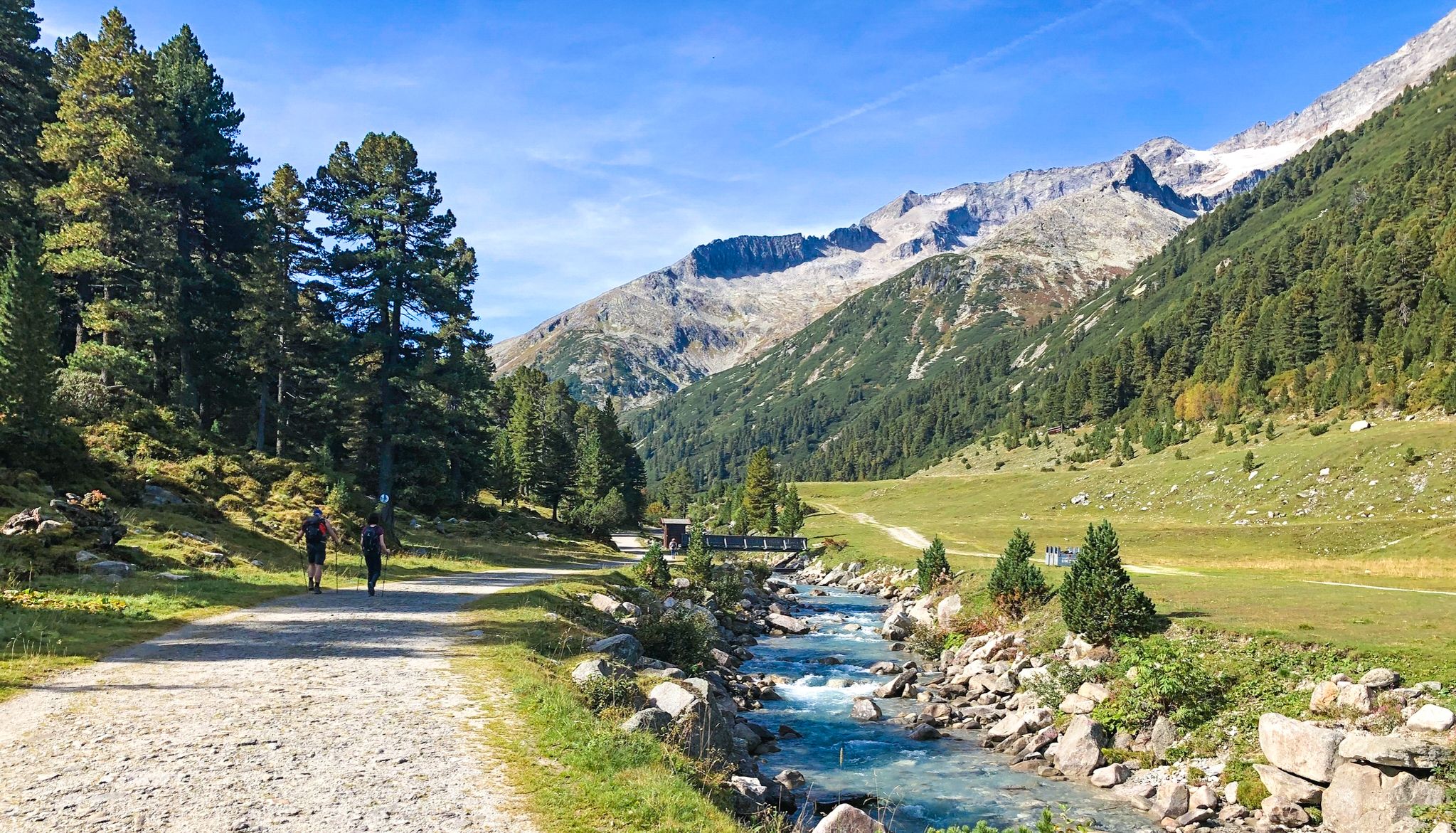
Alpine crossing for pleasure hikers – 7 stages from Lake Tegernsee to Sterzing
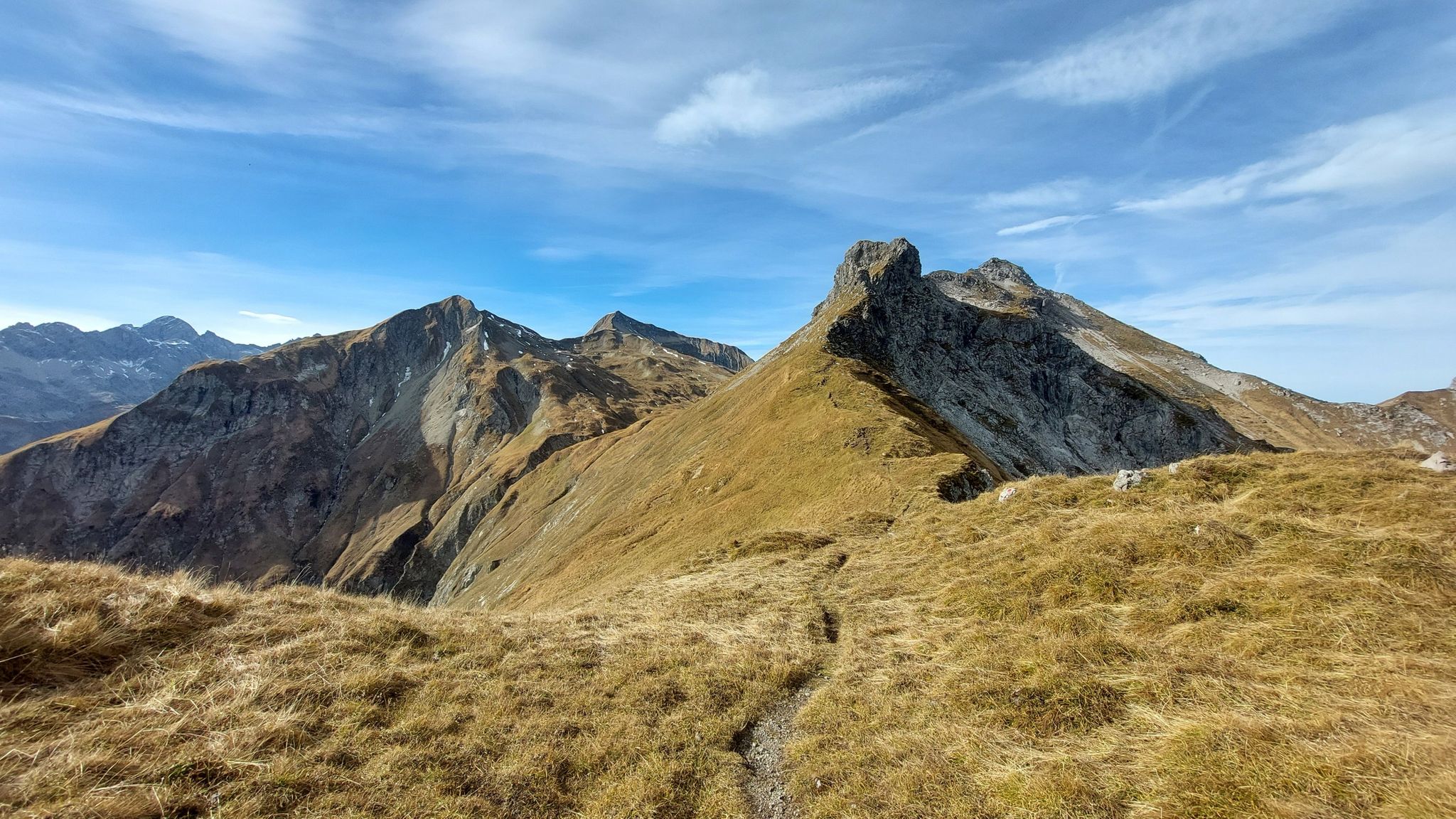
Hiking without borders – mountainous Tours in Germany and Austria
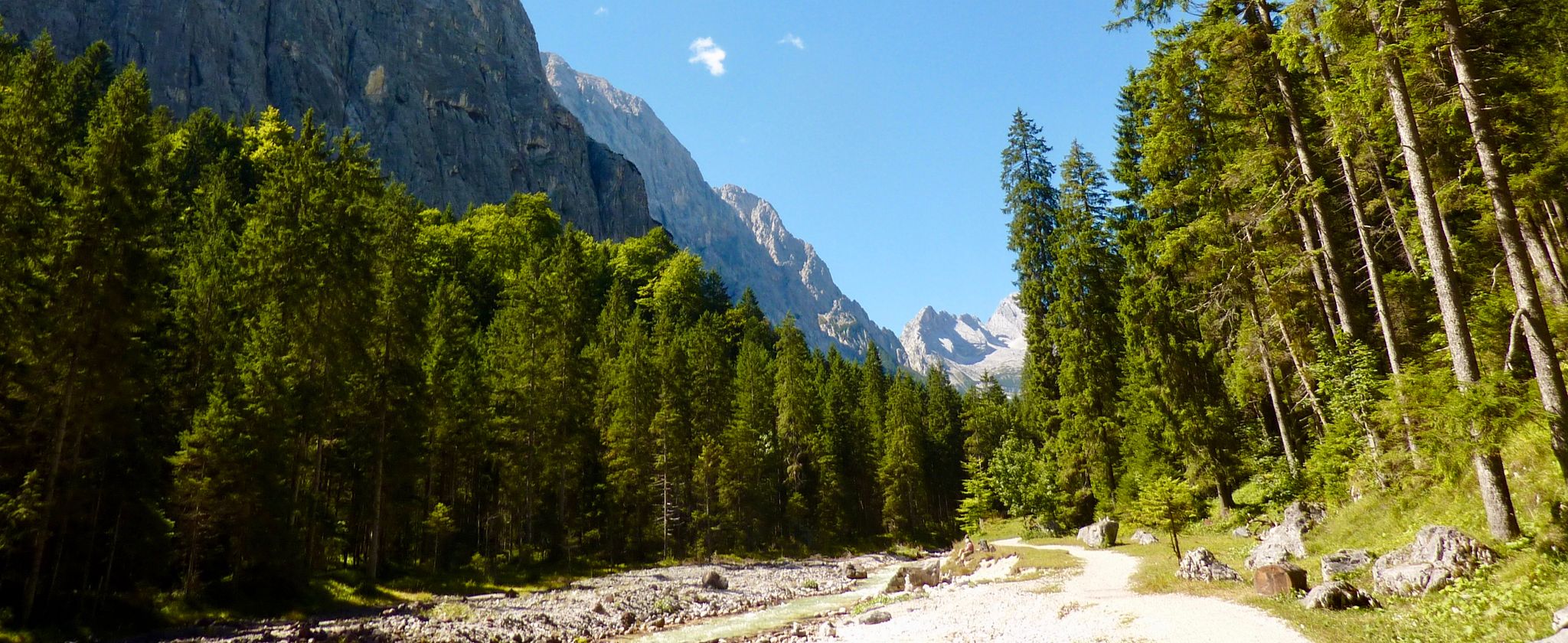
The Max Trail — across the Alps from West to East
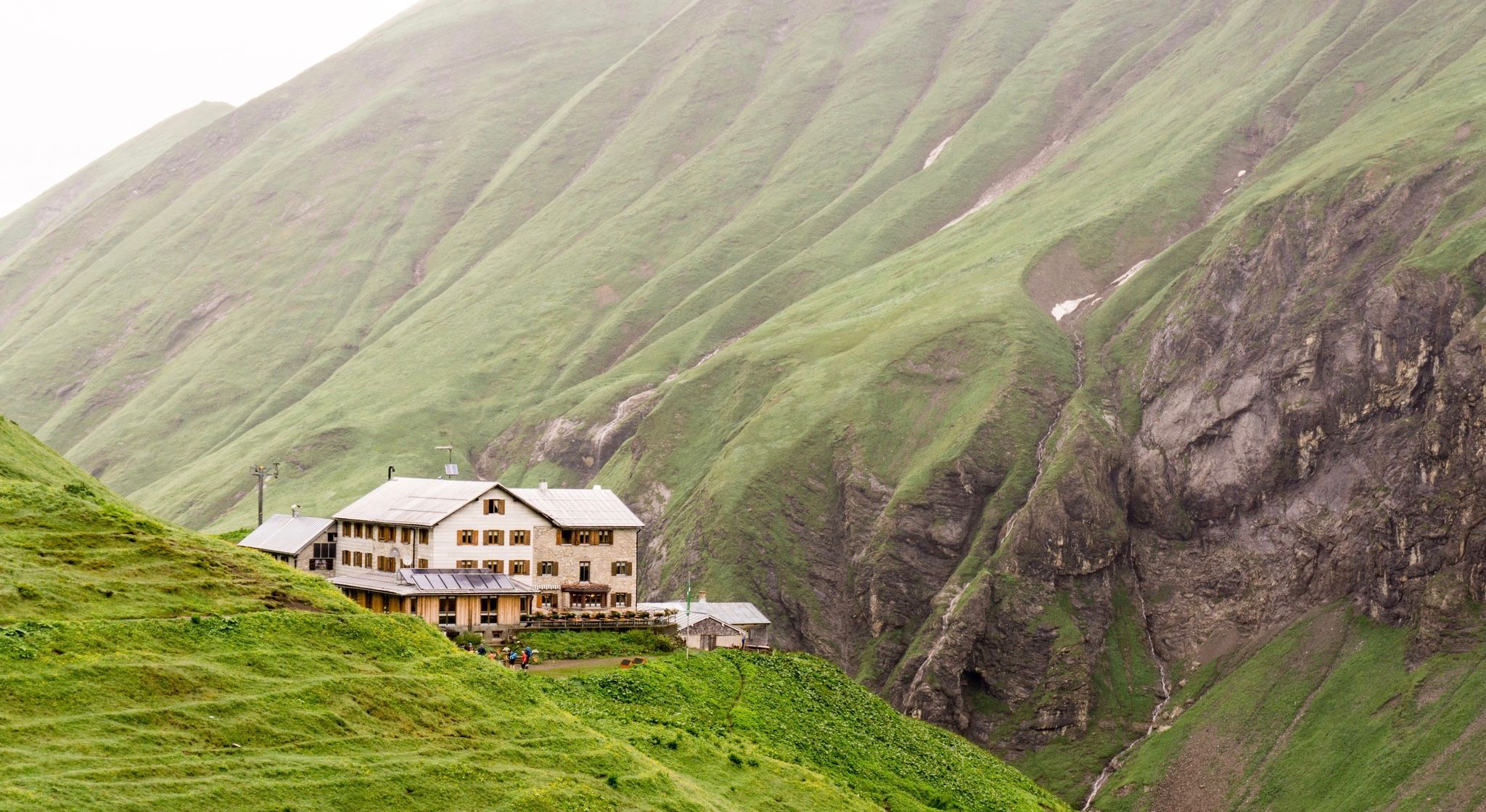
Huts for romantic getaways
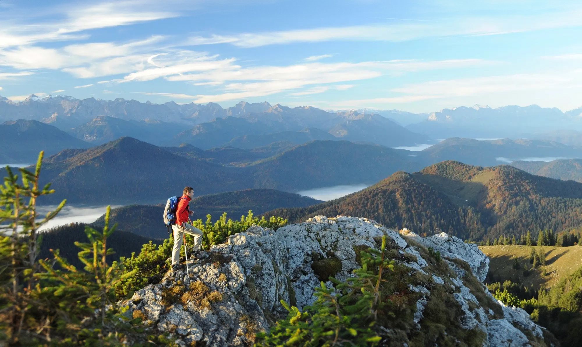
Hiking paradise Lenggries
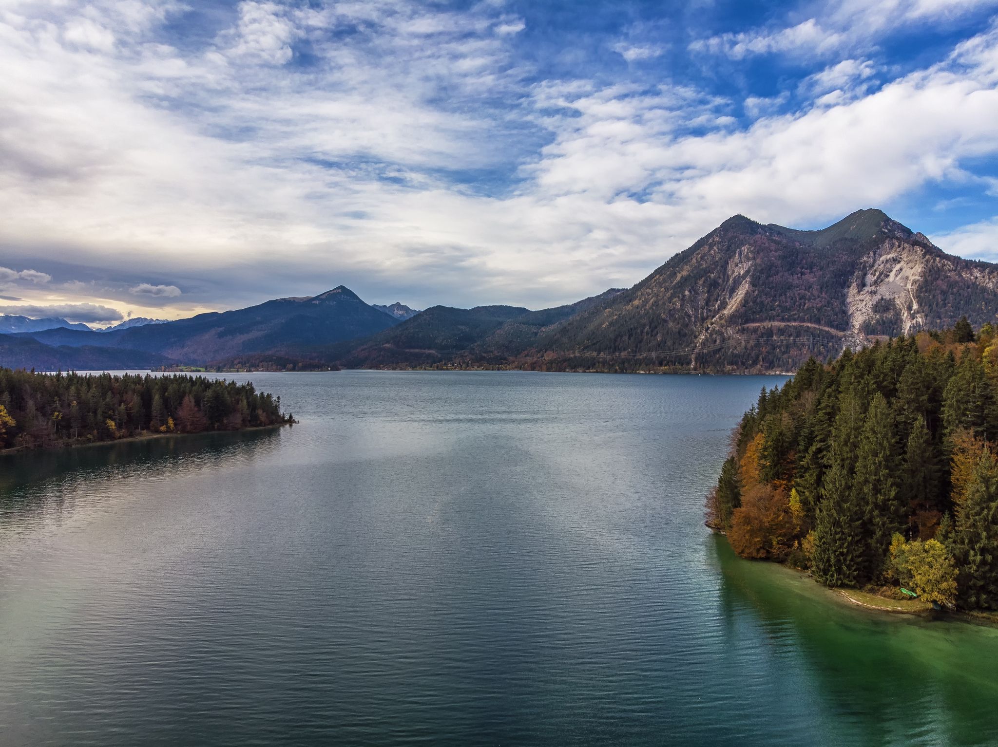
Autumn hikes around Munich
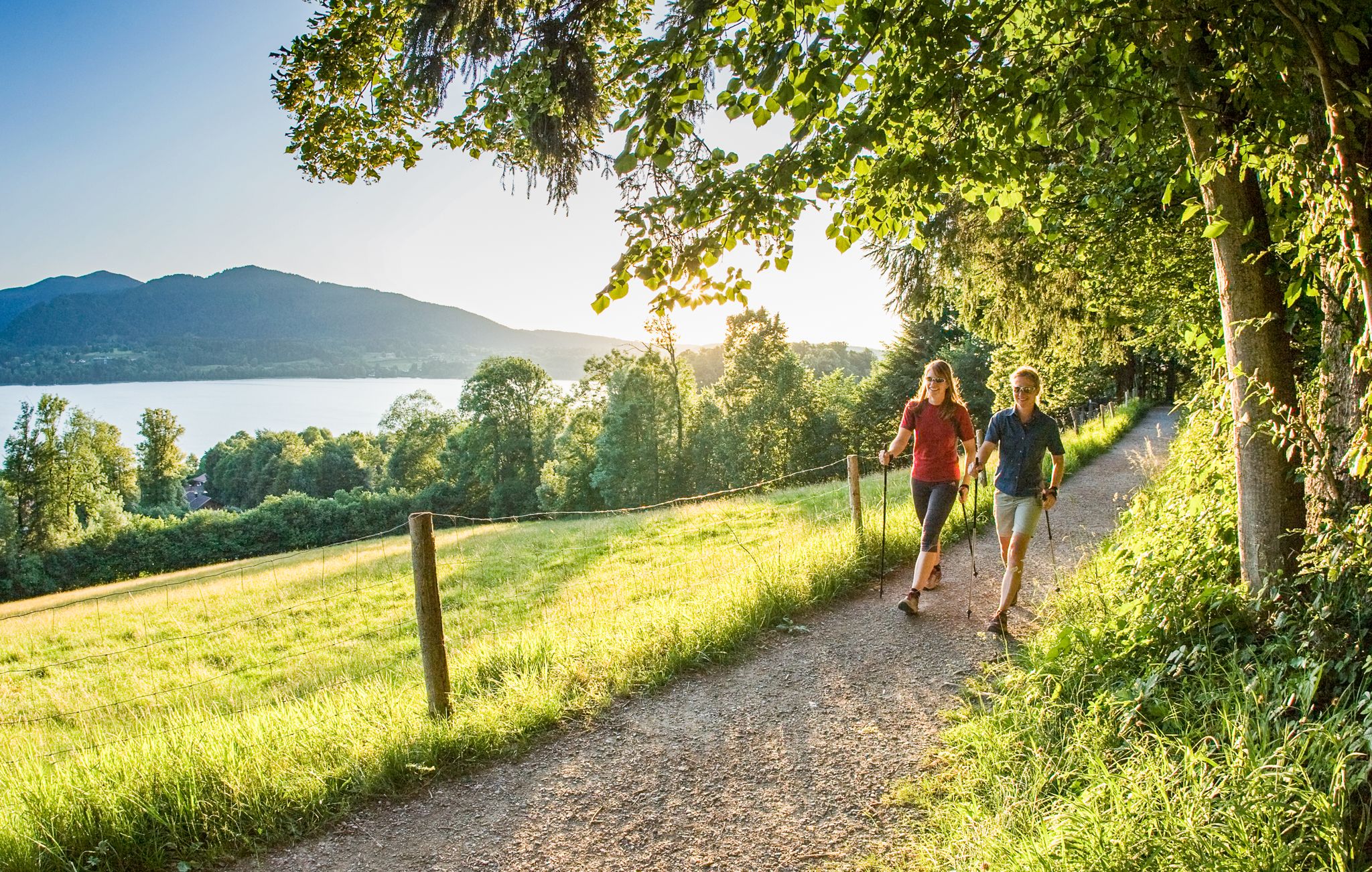
Gesunde Runden: Laufen und Nordic Walking im Heilklima am Tegernsee

3-Tages Hüttentour im Bergsteigerdorf Kreuth
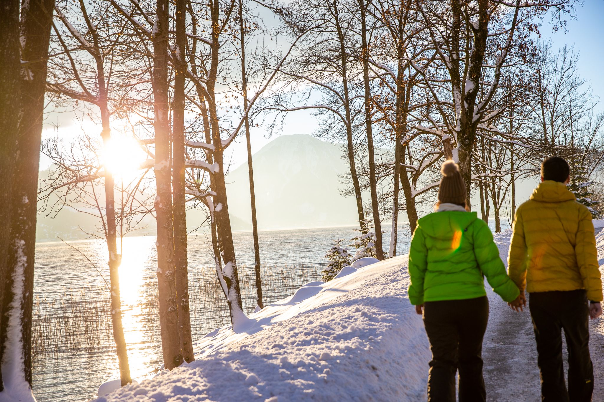
Schönste Winterwanderungen am Tegernsee

Schönste Winterwanderungen mit dem Rodel am Tegernsee
Other adventures around Kreuth


Tips from the Community

Tegernsee delights with its crystal-clear water, impressive mountain scenery, and idyllic lakeside promenades. It lies at an altitude of about 726 meters and was formed during the last ice age. It covers an area of around 6.5 km² and is up to 72 meters deep. Surrounded by the Bavarian Alps, it offers dreamlike views and is a perfect place for any form of outdoor activity, as numerous hiking and cycling trails lead through the beautiful nature around the lake. The constant thermal winds, especially in the afternoon, also make it a challenging area for sailors, windsurfers, and kitesurfers. Those who prefer it quieter can use the early, mirror-smooth morning hours for extended stand-up paddling tours or go rowing and kayaking against the backdrop of the Mangfallgebirge. A real highlight in Upper Bavaria 👍🏼
0
0
Tegernsee delights with its crystal-clear water, the impressive mountain scenery, and the idyllic lakeside promenades. It lies at an altitude of about 726 meters and was formed during the last ice age. It is about 6.5 km² in size and up to 72 meters deep. Surrounded by the Bavarian Alps, it offers dreamlike views and is a perfect place for any form of outdoor activity, as numerous hiking and cycling trails lead through the beautiful nature around the lake. The constant thermal winds, especially in the afternoon, also make it a challenging area for sailors, windsurfers, and kitesurfers. Those who prefer it quieter can use the early, mirror-smooth morning hours for extended stand-up paddling tours or row and kayak against the backdrop of the Mangfallgebirge mountains. A real highlight in Upper Bavaria 👍🏼
0
0


Beautiful view of the church of Rottach-Egern
1
0
Beautiful park right on the lake
0
0
Beautiful section of the path around Tegernsee
0
0
Beautiful view of Lake Tegern from the promenade
0
0
Frequently Asked Questions
How many running routes are available in Kreuth?
Kreuth offers a comprehensive network of over 50 running routes. These trails span diverse landscapes, from gentle river valleys to more challenging mountain slopes, providing options for all fitness levels.
Are there easy running trails suitable for beginners or casual joggers in Kreuth?
Yes, Kreuth has several easy running trails. You'll find paths through flower meadows and along river valleys, perfect for a relaxed jog. For example, the area around the Sylvensteinsee offers a family-friendly circular trail ideal for an easy, scenic run.
Can I find challenging trail runs in Kreuth?
Absolutely. Kreuth is nestled in the Bavarian Prealps, offering demanding trail runs with significant elevation gain. Routes like the Mühlbach Covered Wooden Bridge – Wallberg loop from Rottach-Egern feature alpine terrain and require good fitness. You can also tackle routes leading to peaks like Hirschberg or Risserkogel for a strenuous workout.
Are there any running routes with scenic viewpoints in Kreuth?
Many running routes in Kreuth lead to breathtaking vantage points. For instance, the Hirschberg summit loop from Bavarian Prealps takes you through mountain forests to a summit viewpoint. You can also find spectacular panoramas of Lake Tegernsee and the Alpine foothills from various trails.
What kind of natural attractions can I see along the running routes?
Kreuth's routes offer a variety of natural beauty. You might encounter scenic gorges like the Große Wolfschlucht Waterfall, Siebenhütten Gorge, or Jachenau Gorge. The Weißachau Landscape Protection Area also provides a biodiverse and visually appealing environment for runners.
Are there any family-friendly running routes in Kreuth?
Yes, Kreuth offers family-friendly options. The region's diverse terrain includes gentle paths through flower meadows and along rivers, which are suitable for families. The circular trail around the Sylvensteinsee is particularly noted as a family-friendly option for an easy, scenic jog.
Are dogs allowed on the running trails in Kreuth?
Kreuth's extensive trail network is generally dog-friendly, allowing you to enjoy a run with your canine companion amidst the beautiful natural scenery. However, it's always advisable to keep dogs on a leash, especially in protected areas like the Weißachau Landscape Protection Area, and to respect local regulations.
Are there circular running routes available in Kreuth?
Yes, many of Kreuth's running routes are designed as loops, offering varied scenery without retracing your steps. A notable example is the View from Blaubergsattel – View of the Bavarian Alps loop from Wildbad Kreuth, which provides extensive views of the Bavarian Alps.
What do other runners enjoy most about jogging in Kreuth?
The running routes in Kreuth are highly rated by the komoot community, with an average score of 4.8 stars from over 80 reviews. Runners frequently praise the diverse landscapes, excellent air quality, and the variety of terrain that caters to different preferences, from easy river paths to challenging mountain ascents.
What is the best time of year to go running in Kreuth?
Kreuth is an excellent destination for running throughout much of the year. Spring and autumn offer pleasant temperatures and vibrant scenery. Summer is also popular, though it's best to run in the mornings or evenings to avoid the midday heat. Winter running is possible, but be prepared for snow and ice on higher trails.
Are there running routes accessible by public transport in Kreuth?
Kreuth, as a 'climatic health resort,' is well-integrated into the regional public transport network. Many trailheads are accessible via local bus services, allowing runners to reach various starting points without a car. It's recommended to check local bus schedules for specific routes and stops near your desired trail.
Are there any specific landmarks or points of interest near the running trails?
Beyond natural features, you can find interesting landmarks. For instance, you might encounter the Riederstein Chapel with its view over Lake Tegernsee, or various mountain huts like Rotwandhaus and Gindelalms, which can serve as scenic breaks or destinations on longer runs.
Can I find cafes or pubs near the running routes in Kreuth?
Yes, Kreuth and its surrounding areas offer various cafes and pubs where you can refuel after your run. Many routes pass through or near villages, or lead to mountain huts that provide refreshments. For example, the At Leeberg – Schwaighof complex loop from Rottach-Egern is close to amenities in Rottach-Egern.
Most popular attractions around Kreuth

Get inspired with the komoot mobile app


Explore more
Browse the best Running Trails & Routes in other regions.
