The best mountain hikes around Bad Wiessee
4.8
(75)
888
hikers
26
hikes
Mountaineering around Bad Wiessee is characterized by its location on the western shore of Lake Tegernsee, with the Bavarian Alps forming a dramatic backdrop. The region is part of the Bavarian Prealps and the Mangfallgebirge mountains, offering diverse mountainous terrain. Prominent features include the Wallberg mountain, reaching 1,722 meters, and the areas around Aueralm and Fockenstein Mountain, which provide challenging ascents and panoramic views.
Best mountaineering routes around Bad Wiessee
- The most popular mountaineering route is Aueralm Alpine Hut –…
Last updated: October 21, 2026
4.7
(41)
324
hikers
17.8km
05:53
790m
790m
Hard mountaineering route. Very good fitness required. Sure-footedness, sturdy shoes and alpine experience required.
4.8
(5)
127
hikers
12.0km
03:53
540m
540m
Moderate mountaineering route. Good fitness required. Easily walkable paths.

4.7
(10)
110
hikers
10.3km
03:22
460m
460m
Moderate mountaineering route. Good fitness required. Easily walkable paths.
4.7
(3)
26
hikers
10.0km
03:39
520m
520m
Moderate mountaineering route. Good fitness required. Mostly walkable paths. Sure-footedness required.
5.0
(3)
29
hikers
20.8km
08:00
1,150m
1,150m
Hard mountaineering route. Very good fitness required. Sure-footedness, sturdy shoes and alpine experience required.
Get access to more routes and recommendations from other explorers.
Already have an account?
Our route recommendations are based on thousands of hikes, rides, and runs completed by other people on komoot.
Start today with a free account
Your next adventure awaits.
Popular around Bad Wiessee
Trails Where The Right Warmth Matters – Alpine Adventures with icebreaker
Schönste Winterwanderungen am Tegernsee

Schönste Winterwanderungen mit dem Rodel am Tegernsee

4-Tages Hüttentour im Bergsteigerdorf Kreuth

8 schönste Gipfelwanderungen am Tegernsee
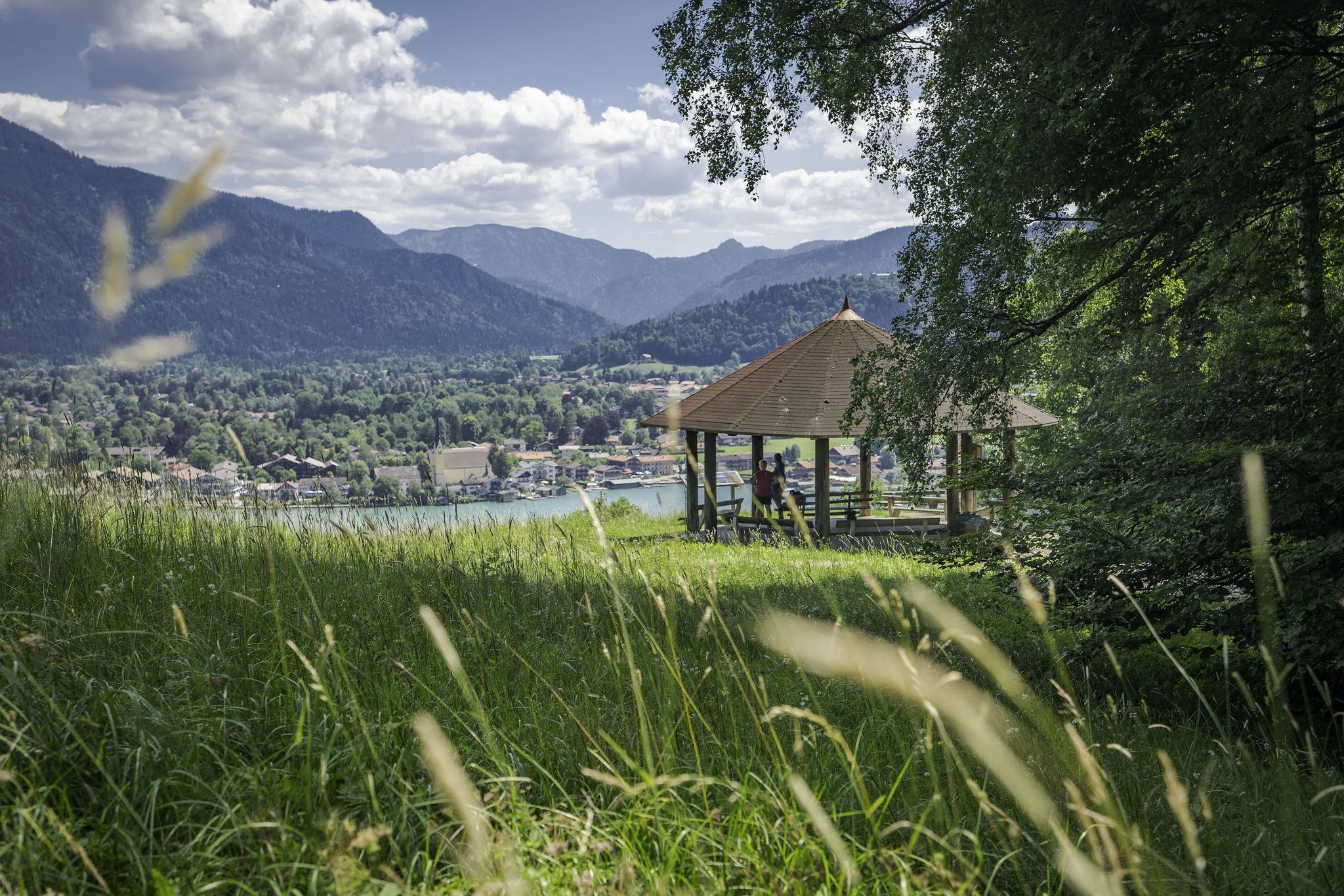
Traumaussichten – Panoramawanderungen am Tegernsee

Für Naturliebhaber: Erlebniswanderungen am Tegernsee für die ganzen Familie
Mountainbike-Erlebnis in den Tegernseer und Kreuther Bergen
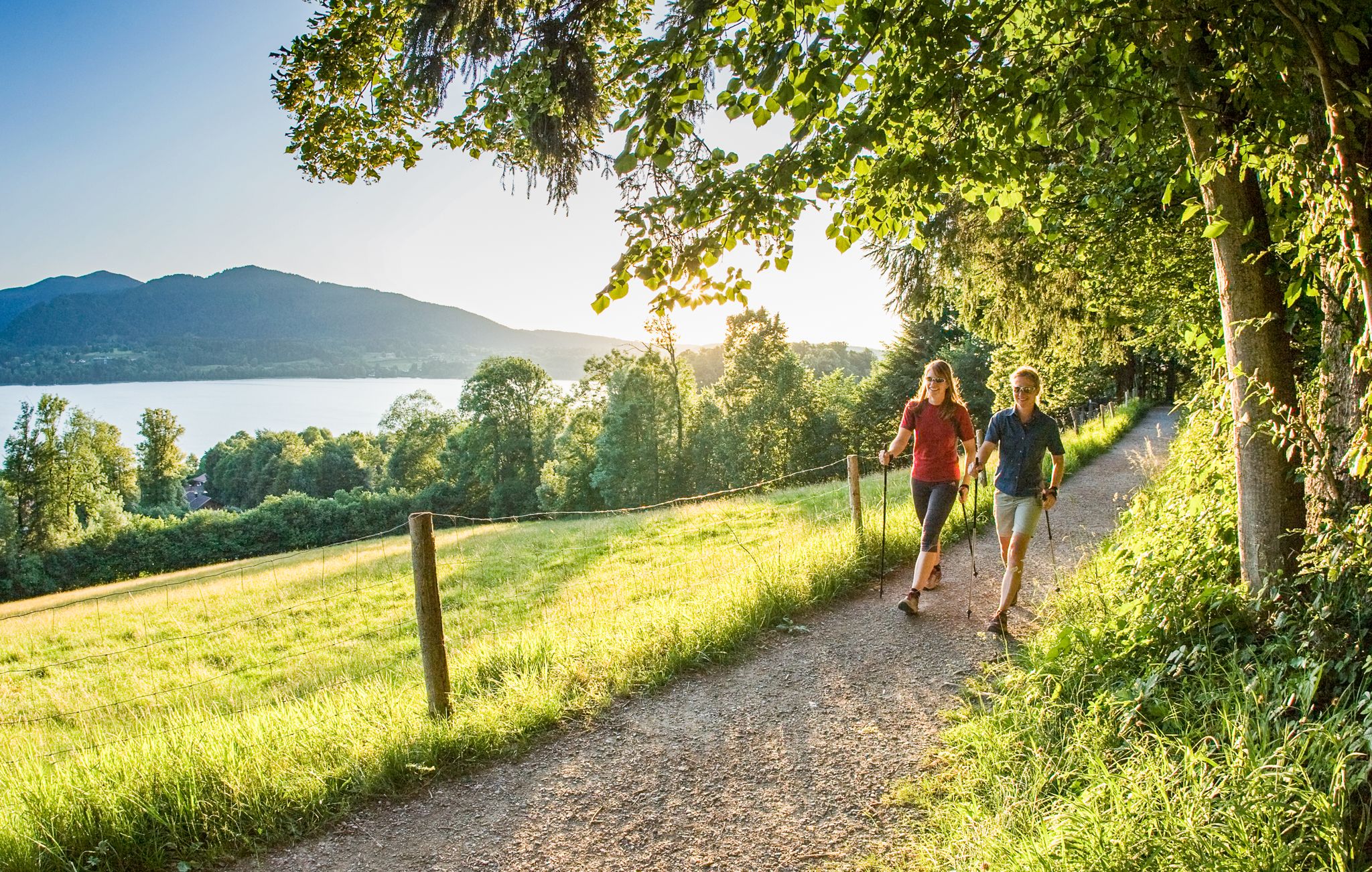
Gesunde Runden: Laufen und Nordic Walking im Heilklima am Tegernsee
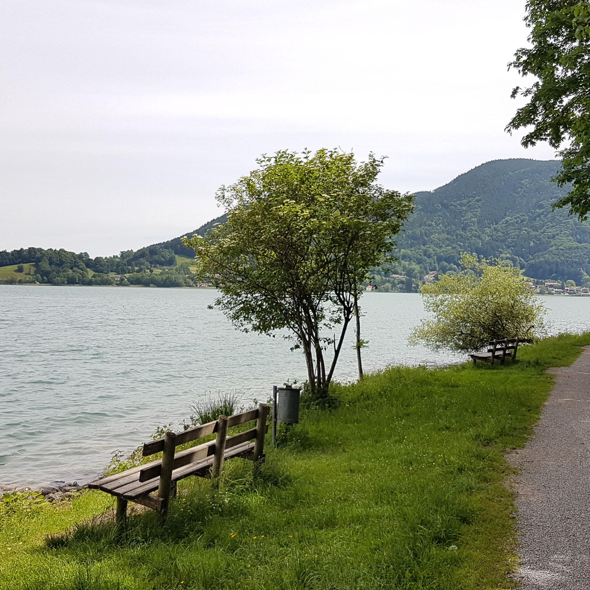
Hiking around Bad Wiessee
Other adventures around Bad Wiessee


Tips from the Community

This rock spire juts out from the rugged northern flank of the Ochsenkamp, along the side of the path. It looks good compared to the Fockenstein, but doesn't look like an easy boulder.
0
1

As of April 2025, the area surrounding the forest has been largely deforested—it looks like a battlefield, and the forest roads are deeply damaged by heavy machinery...
0
0
Great view of Lake Tegernsee and the mountains beyond. A bench and several places to stretch your legs in the meadow.
1
0


The Kreuth forest climate station (WKS) is part of the Bavarian forest monitoring network, which consists of 17 similar stations. Since 1991, the Bavarian State Office for Forests and Forestry has been recording numerous data on weather and environmental influences. The current measured values can be viewed here: https://www.lwf.bayern.de/wks The pan-European forest monitoring network includes almost 800 measuring stations in 41 countries!
2
0
Nice destination for anyone looking for a summit cross (Almkreuz) without a lot of hustle and bustle. The Alm originally belonged to the Tegernsee monastery and was first mentioned in documents in 1529. The last of the five old Alm buildings was demolished in 2018. The new building that was planned has not yet taken place. The Alm was not in use anyway. Various paths lead up from Bad Wiessee and Finsterwald, some of them are decent climbs with lots of roots. In terms of views, the nearby Hirschberg dominates. Continue to the Nesselscheibe.
3
0

Beautiful alpine pasture below Fockenstein. When the weather is good (unfortunately) it is usually very well attended 😉
0
0

A very beautiful hiking and biking trail: from the parking lot along the mountain stream, then there are several alternative routes that lead back down. Highly recommended!
1
0
Frequently Asked Questions
How many mountaineering routes are available around Bad Wiessee?
There are over 25 mountaineering routes around Bad Wiessee, offering a diverse range of experiences. These include 14 moderate and 12 difficult trails, ensuring options for various skill levels.
Are there any family-friendly mountaineering routes in Bad Wiessee?
While many routes around Bad Wiessee are moderate to difficult, some sections or shorter loops can be suitable for families with older children or those accustomed to mountain hiking. For a moderate option that offers scenic views, consider the View of the Bavarian Alps – Aueralm loop from Bad Wiessee, which is 7.4 miles long.
Can I bring my dog on the mountaineering trails in Bad Wiessee?
Yes, many mountaineering trails around Bad Wiessee are dog-friendly, allowing you to enjoy the stunning Alpine scenery with your canine companion. Always ensure your dog is well-behaved, kept on a leash where required, and that you carry enough water for both of you.
Are there circular mountaineering routes available?
Yes, many of the mountaineering routes around Bad Wiessee are designed as circular loops, allowing you to start and end at the same point. A popular difficult circular route is the Aueralm Alpine Hut – Fockenstein Summit loop from Bad Wiessee, which offers expansive views from the Fockenstein Summit.
What natural features or landmarks can I expect to see on these routes?
The routes offer breathtaking views of Lake Tegernsee and the Bavarian Alps. You might encounter features like the Wallberg mountain, the Aueralm, and the Söllbach Waterfalls. Notable viewpoints and attractions include the Great view over the Tegernsee near Kaltenbrunn and the Riederstein Chapel and view over Lake Tegernsee.
What is the best time of year for mountaineering in Bad Wiessee?
The best time for mountaineering in Bad Wiessee is typically from late spring through early autumn (May to October), when the weather is generally stable, and trails are clear of snow. During these months, you can fully enjoy the lush landscapes and panoramic views. Winter offers opportunities for winter hiking on cleared paths, but higher alpine routes may require specialized gear and experience.
Are there any huts or places to stop for refreshments along the trails?
Yes, several routes pass by traditional Alpine huts where you can stop for refreshments and a rest. The Aueralm is a well-known hut in the region. You can find more information about huts like the Aueralm Alpine Hut and Upper First Alm along various routes.
What are some moderate mountaineering options in Bad Wiessee?
For those seeking a moderate challenge, Bad Wiessee offers several excellent routes. The Aueralm Alpine Hut – Aueralm loop from Bad Wiessee is a 6.4-mile trail through varied alpine terrain, typically completed in about 3 hours 21 minutes. Another good option is the Holzer Alm Summit Cross – Forest Climate Station loop from Bad Wiessee.
What do other mountaineers say about the routes in Bad Wiessee?
The mountaineering routes in Bad Wiessee are highly regarded by the komoot community, holding an average score of 4.7 stars from over 60 reviews. Many users praise the spectacular panoramas, well-maintained trails, and the diverse terrain that caters to different skill levels. Over 900 mountaineers have used komoot to explore this region.
Are there any particularly challenging mountaineering routes for experienced hikers?
Yes, for experienced mountaineers, Bad Wiessee offers several difficult routes. The Aueralm – Ochsenkamp Summit (1595 m) loop from Bad Wiessee is a demanding 12.9-mile trail with significant elevation gain, providing a true test of endurance and offering rewarding views from the summit.
Is public transport available to reach the trailheads?
Bad Wiessee has local bus services that connect various points around Lake Tegernsee, which may provide access to some trailheads. It's advisable to check local bus schedules and routes in advance to plan your journey to specific starting points.
Are there specific parking areas for mountaineering routes?
Many popular trailheads around Bad Wiessee offer designated parking areas, though these can fill up quickly during peak season. It's recommended to arrive early, especially for popular routes, or consider using public transport where available to avoid parking difficulties.
Most popular routes around Bad Wiessee
Most popular attractions around Bad Wiessee

Get inspired with the komoot mobile app


Explore more
Browse the best Mountain Hikes & Routes in other regions.
