The best mountain hikes around Gstadt am Chiemsee
5.0
(7)
103
hikers
5
hikes
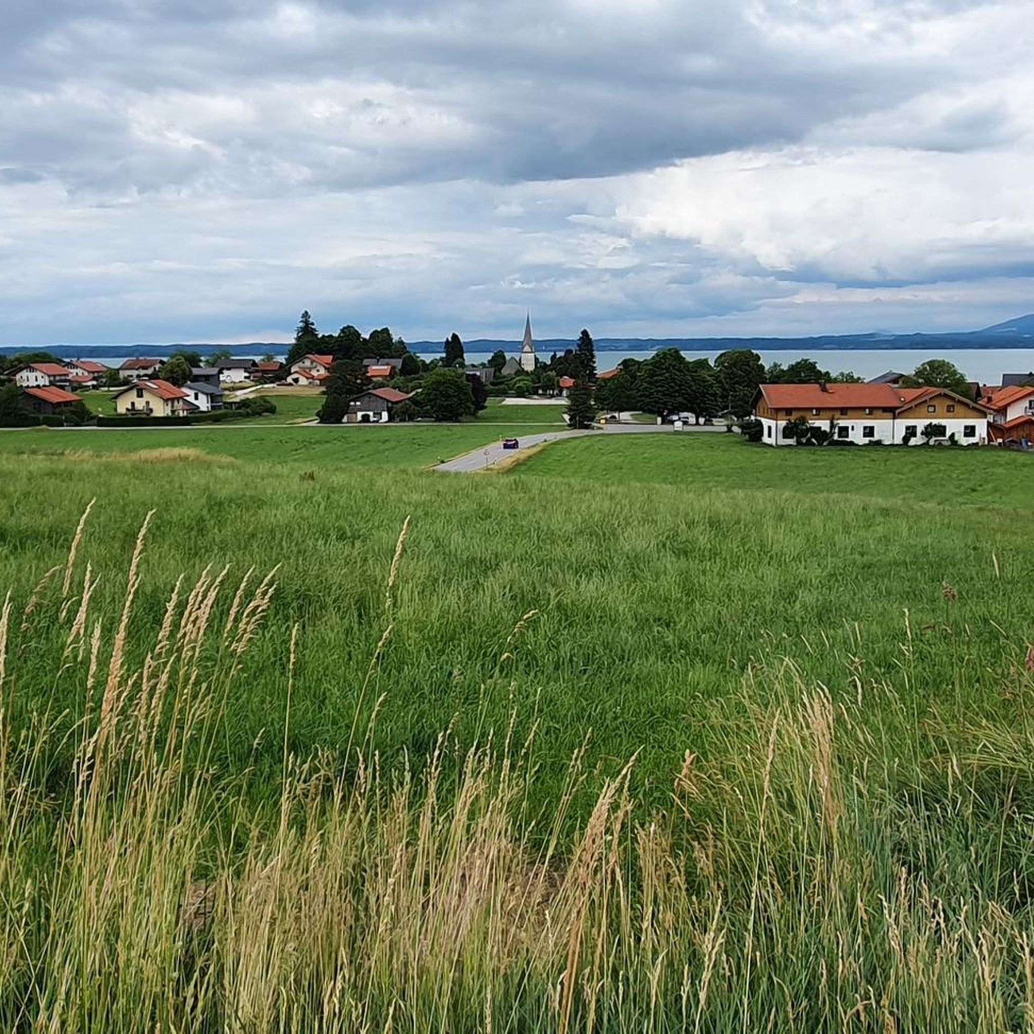
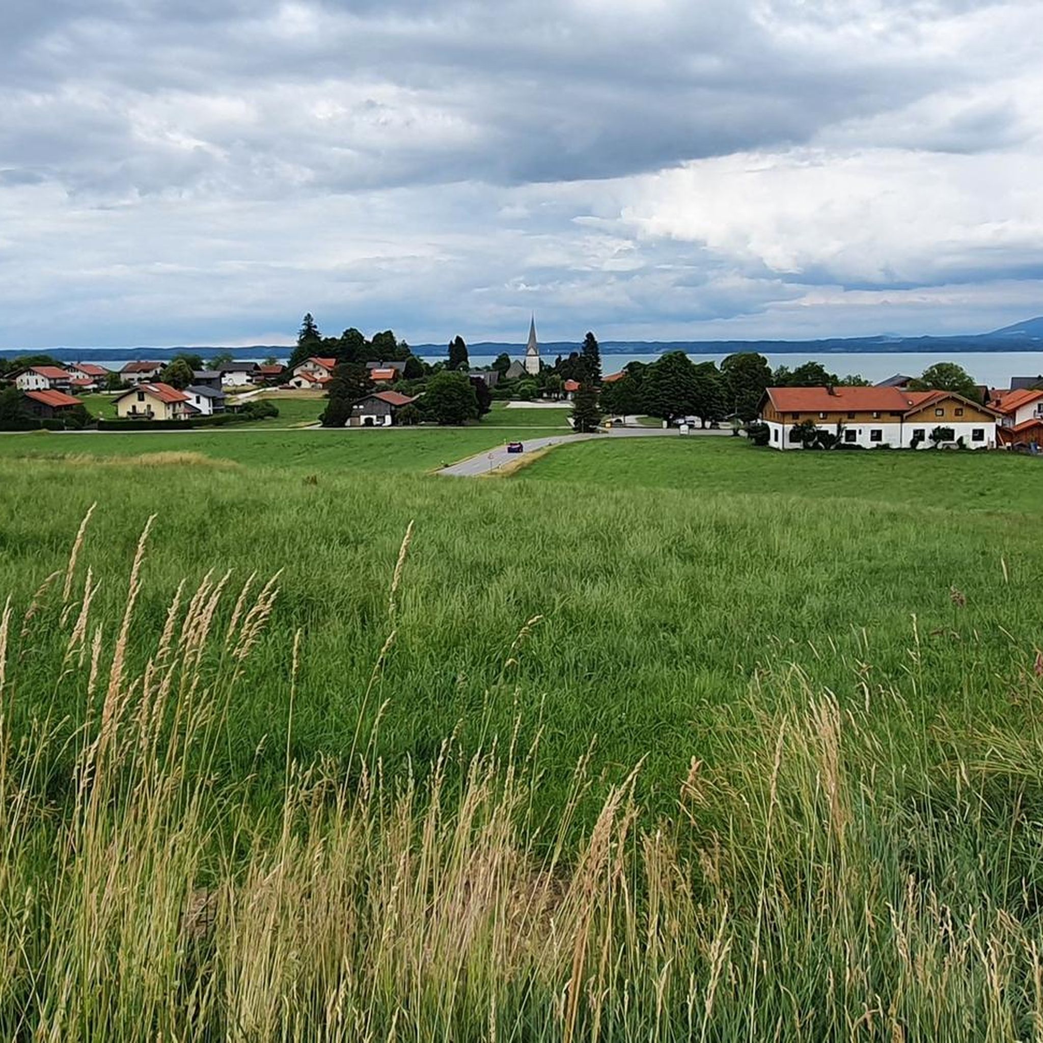
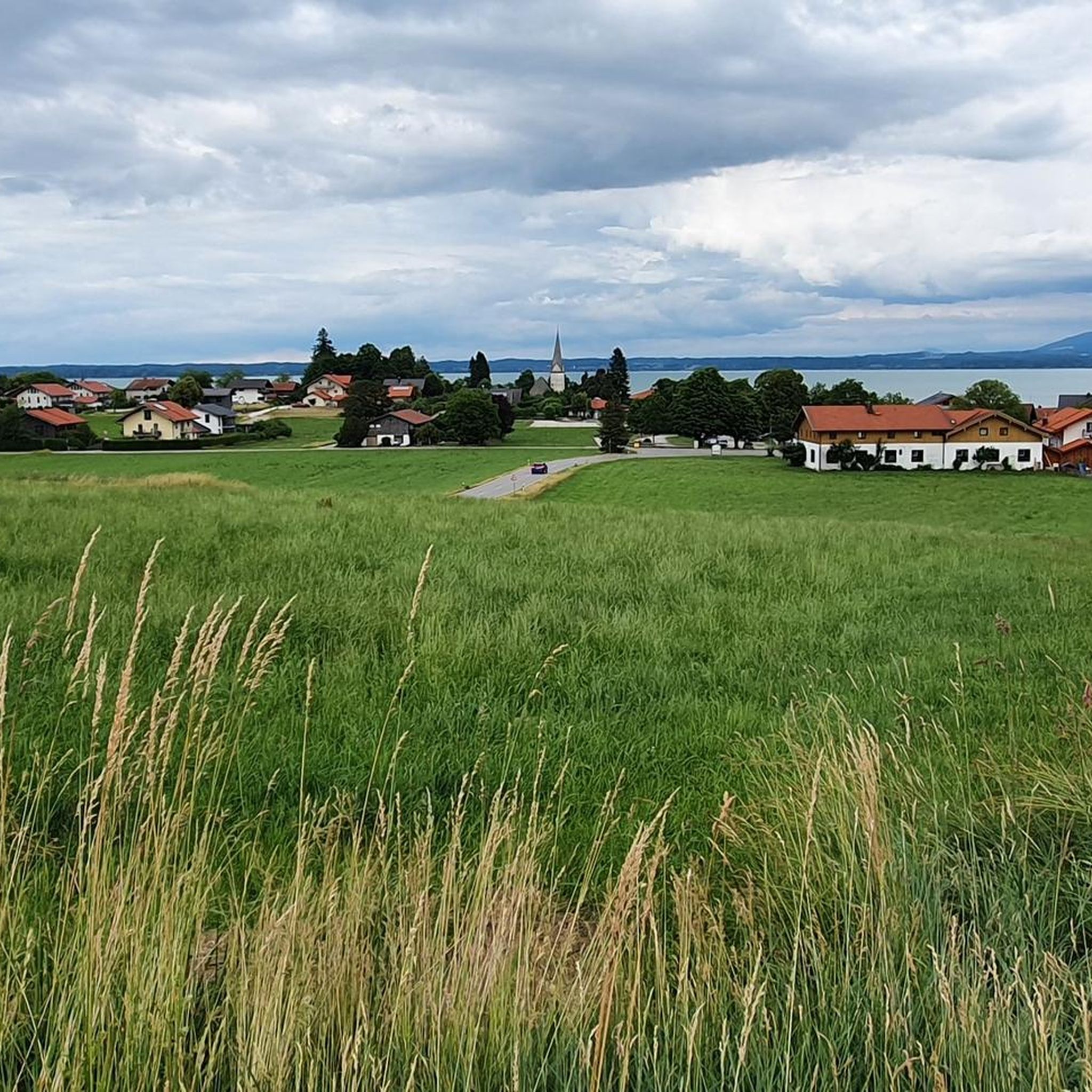
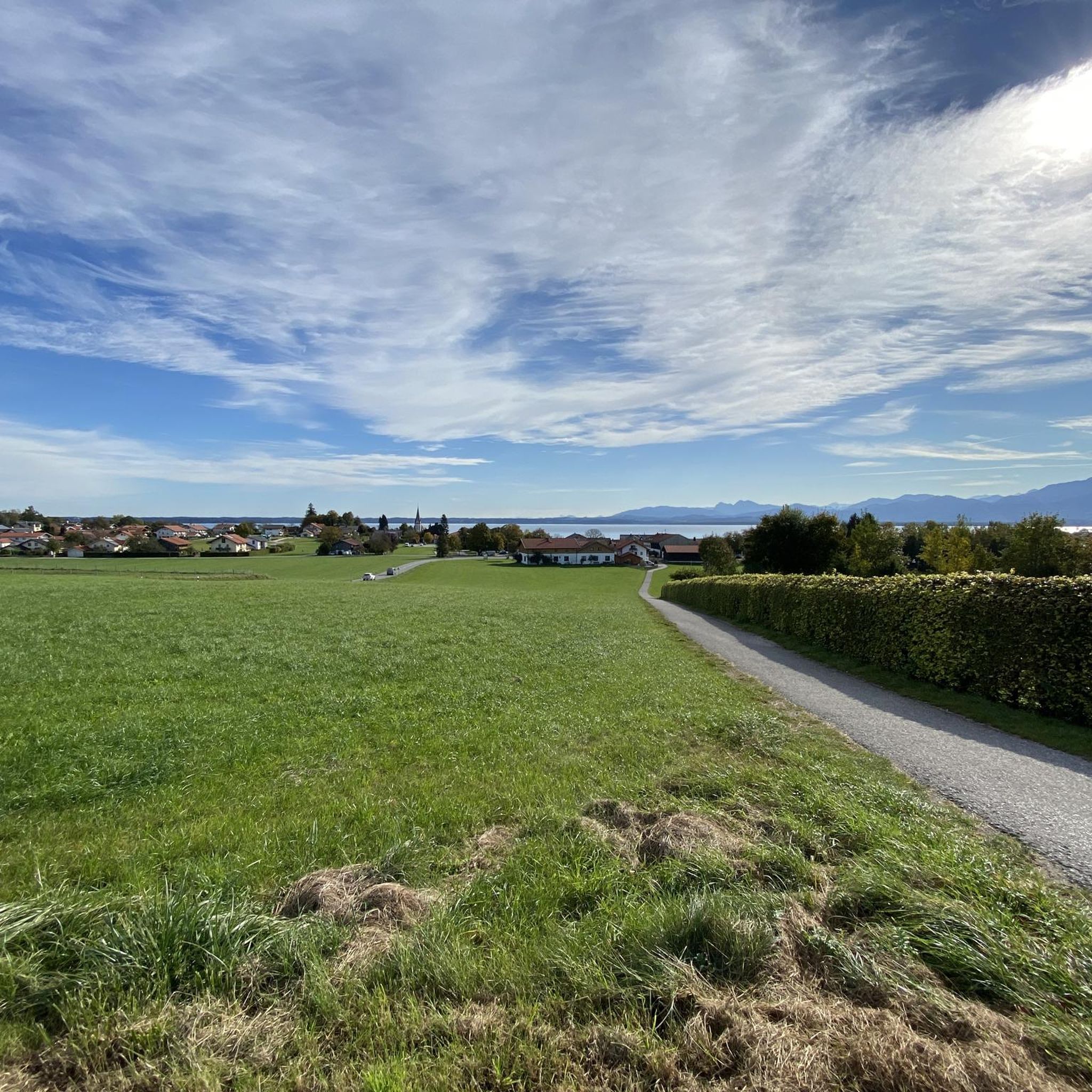
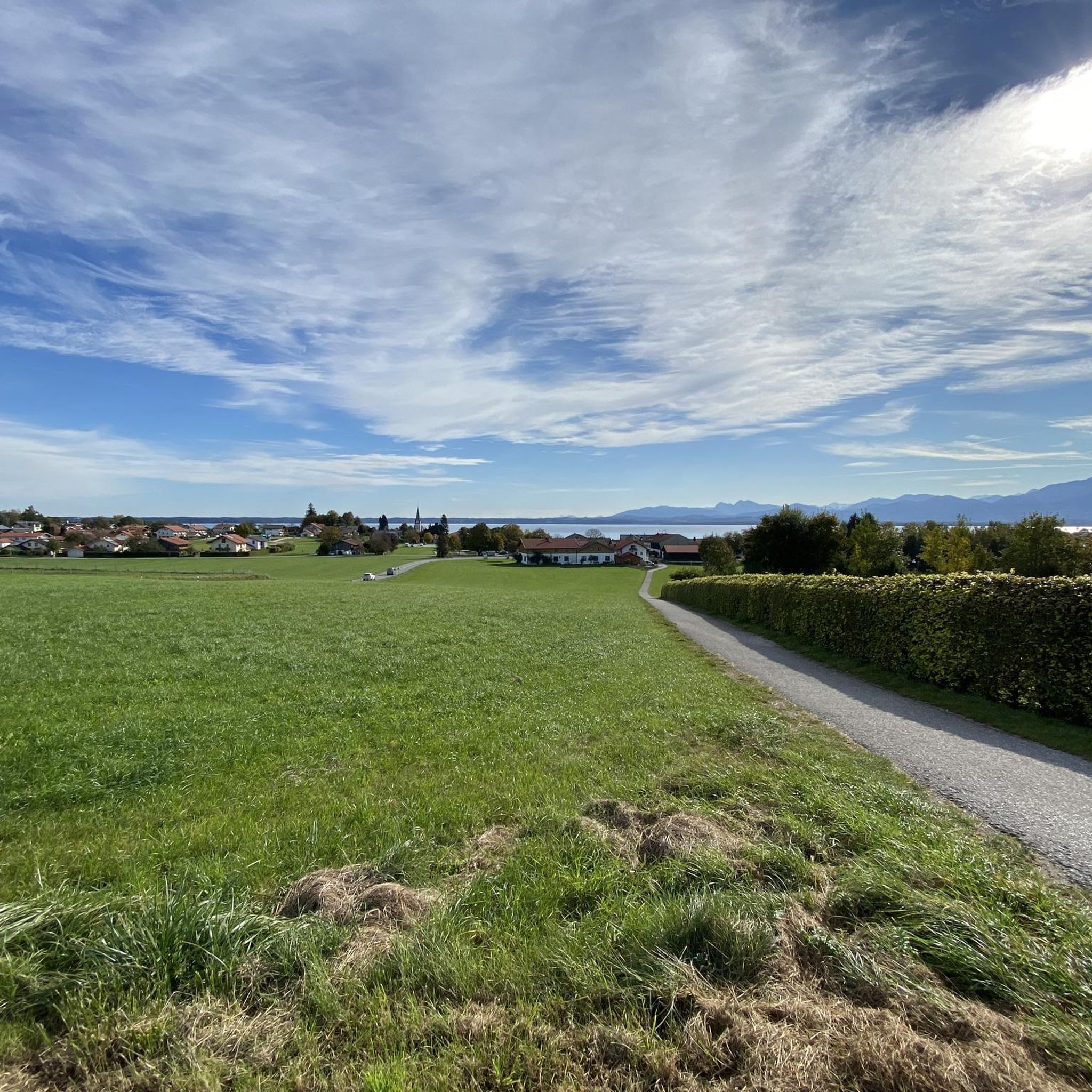
Mountaineering routes around Gstadt am Chiemsee are situated on the western shore of Lake Chiemsee, with the Chiemgau Alps forming a prominent backdrop. This region combines the expansive waters of Bavaria's largest lake with the accessible terrain of the Alpine foothills. The landscape features a mix of gently sloping mountain summits, serene lakes, and forested areas, providing diverse conditions for ascents. Peaks such as Hochgern and Kampenwand offer elevated viewpoints over the Chiemgau region and Lake Chiemsee.
Best mountaineering routes around Gstadt am Chiemsee
- The most popular mountaineering route is Herrenalm loop from Bernau am Chiemsee, a 5.6 miles (9.1 km) trail that takes 3 hours 9 minutes to complete. This moderate route offers views within the Chiemgau Alps foothills.
- Another top favourite among local mountaineers is Herrenalm – View of Chiemsee from Lindlalm loop from Bernau am Chiemsee, a moderate 7.4 miles (11.9 km) path. This route provides expansive views of Lake Chiemsee from the Lindlalm area.
- Local mountaineers also love the Schmiedalm – Weissenalm loop from Bernau am Chiemsee, an 8.9 miles (14.3 km) trail leading through the alpine foothills, often completed in about 4 hours 49 minutes.
- Mountaineering around Gstadt am Chiemsee is defined by the presence of Lake Chiemsee, the Chiemgau Alps, and the Eggstätt-Hemhofer Seenplatte lake district. The network offers options for both moderate and more challenging ability levels.
- The routes in Gstadt am Chiemsee are highly rated by the komoot community with an average score of 5.0 stars from more than 5 reviews. More than 100 mountaineers have used komoot to explore Gstadt am Chiemsee's varied terrain.
Last updated: May 23, 2026
7
hikers
9.24km
03:12
440m
440m
Moderate mountaineering route. Good fitness required. Mostly accessible paths. Sure-footedness required.
5.0
(1)
4
hikers
11.7km
03:45
450m
450m
Moderate mountaineering route. Good fitness required. Mostly accessible paths. Sure-footedness required.

Sign up for free
4
hikers
14.1km
04:36
590m
590m
Moderate mountaineering route. Good fitness required. Mostly accessible paths. Sure-footedness required.
6
hikers
Hard mountaineering route. Very good fitness required. Mostly accessible paths. Sure-footedness required.
4
hikers
7.31km
02:02
140m
140m
Moderate mountaineering route. Good fitness required. Easily-accessible paths. Suitable for all skill levels.
Our route recommendations are based on thousands of hikes, rides, and runs completed by other people on komoot.
Start today with a free account
Your next adventure awaits.
Login or Signup

Tips from the Community

Open from approximately mid-May until autumn, Thursday to Monday (closed on Tuesdays and Wednesdays). A genuine alpine pasture (with grazing pastures) that hasn't adapted to mass tourism. Shepherded by a woman (as the wooden signposts say).
0
0

A tough 12 percent climb 🚴♂️ is rewarded with a beautiful view. This climb is part of a route of the Rosenheim Cycle Marathon and therefore ideal for training. Combines well with the climb south toward Söllhuben.
0
0

In contrast to the other alpine pastures, it's less touristy, which unfortunately is also reflected in the condition of the pasture. Still, that's no reason to avoid it, as its simplicity is also a plus.
0
0

We arrive at a small alpine pasture unknown to us. It's worth stopping for a break!
0
0

Attention, currently closed due to storm damage
1
0


A must in every season. In spring, the colorful blossoms decorate the fruit trees, in summer the leaves dress the trees in a lush green and in autumn countless apples and pears hang on the branches.
1
0

Beautiful, cozy alpine hut, delicious food and homemade cakes. Nice landlady
1
0
Frequently Asked Questions
How many mountaineering routes are available around Gstadt am Chiemsee?
There are 5 mountaineering routes around Gstadt am Chiemsee, offering a range of experiences from moderate to difficult. These routes are highly rated by the komoot community, with an average score of 5.0 stars.
Are there any circular mountaineering routes in the Gstadt am Chiemsee area?
Yes, many of the mountaineering routes around Gstadt am Chiemsee are circular. For example, the Herrenalm loop from Bernau am Chiemsee is a popular moderate option, as is the Herrenalm – View of Chiemsee from Lindlalm loop, which offers expansive views of Lake Chiemsee.
What kind of landscapes can I expect on mountaineering routes near Gstadt am Chiemsee?
The routes combine the vastness of Lake Chiemsee with the accessible terrain of the Chiemgau Alps foothills. You can expect a mix of gently sloping mountain summits, serene lakes, and forested areas. The region is also characterized by the unique Eggstätt-Hemhofer Seenplatte lake district, offering diverse natural beauty.
Are there any challenging mountaineering routes for experienced hikers?
Yes, for those seeking a more demanding experience, the Marian Wayside Shrine – View of the Kampenwand loop from Bernau am Chiemsee is a difficult route. It covers over 20 km and involves significant elevation gain, offering views towards the famous Kampenwand peak.
What are some notable landmarks or viewpoints along the mountaineering routes?
Many routes offer stunning views of Lake Chiemsee and the Chiemgau Alps. Specific highlights include the View of Fraueninsel from Gstadt Harbor, the View of Kampenwand, and the Ganszipfel Observation Tower, which provides splendid views of the islands. You can also visit the impressive Herrenchiemsee Palace on Herreninsel, accessible by ferry.
What is the best time of year for mountaineering in the Gstadt am Chiemsee region?
The Chiemgau Alps offer opportunities throughout the warmer months. Spring and autumn provide pleasant temperatures and vibrant scenery, while summer allows for longer days and potentially combining your hike with a swim in Lake Chiemsee. Always check local weather conditions before heading out.
Are there any places to eat or drink along the mountaineering routes?
While specific routes may pass by mountain huts or alm (alpine pastures) that offer refreshments, it's always advisable to carry sufficient water and snacks. The towns around Lake Chiemsee, including Gstadt, offer various cafes and restaurants for pre- or post-hike meals.
Can I bring my dog on these mountaineering routes?
Many trails in the Chiemgau Alps are dog-friendly, but it's essential to keep your dog on a leash, especially in areas with livestock or wildlife. Always ensure your dog is fit enough for the chosen route and carry water for them. Specific regulations may apply in certain protected areas.
Are there any beginner-friendly mountaineering routes?
While all routes require a certain level of fitness, the region offers options suitable for those new to mountaineering. Routes like the Orchard and Cultural Trail – View of Simssee loop from Rimsting are moderate and have less elevation gain, making them a good starting point to experience the alpine foothills.
What do other mountaineers enjoy most about the routes in Gstadt am Chiemsee?
The routes are highly rated by the komoot community, with an average score of 5.0 stars. Reviewers often praise the diverse scenery, combining lake views with mountain panoramas, and the well-maintained trails that cater to various fitness levels. The accessibility of the Chiemgau Alps from the lakeside is also a frequently mentioned positive aspect.
Are there opportunities for wild swimming near the mountaineering trails?
Yes, Lake Chiemsee itself, often called the 'Bavarian Sea,' offers numerous opportunities for swimming. After a mountaineering trip, you can cool off at designated bathing spots along the lake shore, such as the Bathhouse at Lake Chiemsee. The nearby Eggstätt-Hemhofer Seenplatte also has bathing spots within its lake district.
What are some longer mountaineering routes in the area?
For those looking for a longer day out, the Schmiedalm – Weissenalm loop from Bernau am Chiemsee is a moderate 14.3 km trail that leads through the alpine foothills and typically takes around 4 hours 49 minutes to complete.
Most popular routes around Gstadt am Chiemsee
Most popular attractions around Gstadt am Chiemsee

Get inspired with the komoot mobile app


Explore more
Browse the best Mountain Hikes & Routes in other regions.
