The best mountain hikes around Krün
4.6
(57)
437
hikers
17
hikes
Mountaineering routes around Krün are situated in the Bavarian Alps, offering access to the Soiern, Karwendel, Wetterstein, and Ester Mountains. The region features prominent peaks like the Schöttlkarspitze, Seinskopf, and Signalkopf, providing a diverse alpine environment. The landscape includes dramatic gorges and the Isar River valley, with elevations suitable for varied mountaineering challenges. This area is characterized by its mountainous terrain and alpine meadows.
Best mountaineering routes around Krün
- The most popular mountaineering route is Soiern Hut – Fischbachalm loop…
Last updated: August 11, 2026
5.0
(22)
141
hikers
22.7km
07:36
940m
940m
Hard mountaineering route. Very good fitness required. Sure-footedness, sturdy shoes and alpine experience required.
4.9
(16)
98
hikers
15.2km
08:02
1,250m
1,250m
Hard mountaineering route. Very good fitness required. Sure-footedness, sturdy shoes and alpine experience required.

Sign up for free
4.9
(9)
77
hikers
15.8km
07:37
1,070m
1,070m
Hard mountaineering route. Very good fitness required. Sure-footedness, sturdy shoes and alpine experience required.
3.5
(2)
17
hikers
13.4km
06:38
1,060m
1,060m
Hard mountaineering route. Very good fitness required. Sure-footedness, sturdy shoes and alpine experience required.
15
hikers
19.5km
06:26
760m
760m
Hard mountaineering route. Very good fitness required. Mostly accessible paths. Sure-footedness required.
Get access to more routes and recommendations from other explorers.
Sign up for free
Already have an account?
Our route recommendations are based on thousands of hikes, rides, and runs completed by other people on komoot.
Start today with a free account
Your next adventure awaits.
Login or Signup
Popular around Krün
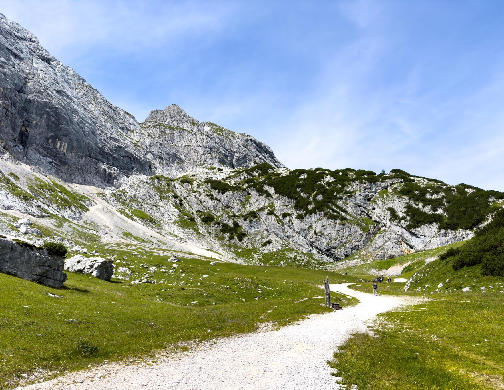
Zugspitz Ultratrail – experience Germany's highest mountain over 3 days
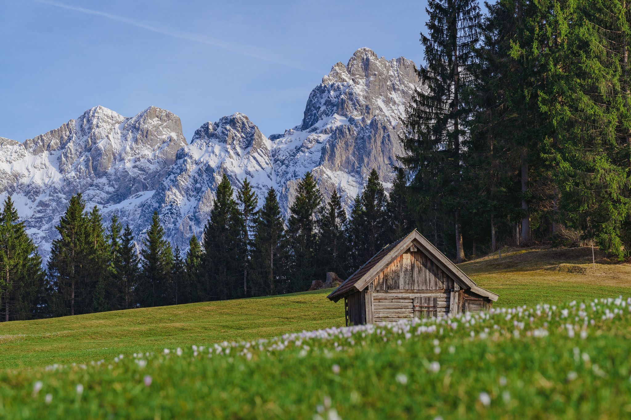
The blue Isar, far away – spring hikes in the Karwendel Mountains
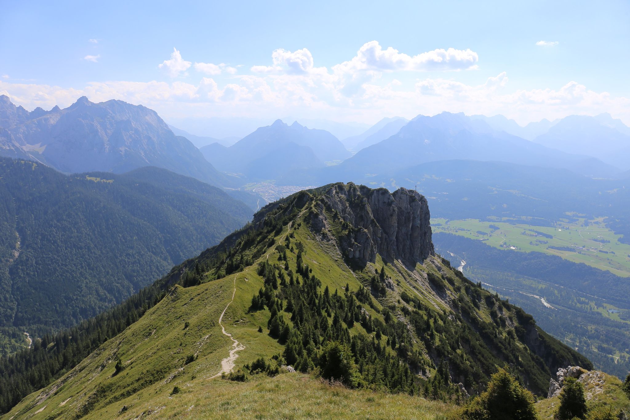
From the Isar to the ridge – hike in the Karwendel Mountains
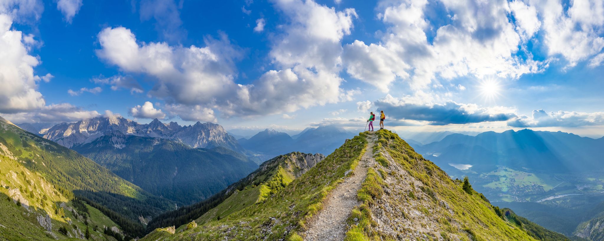
7 days, 7 summits – varied mountain Tour week in the Zugspitz region
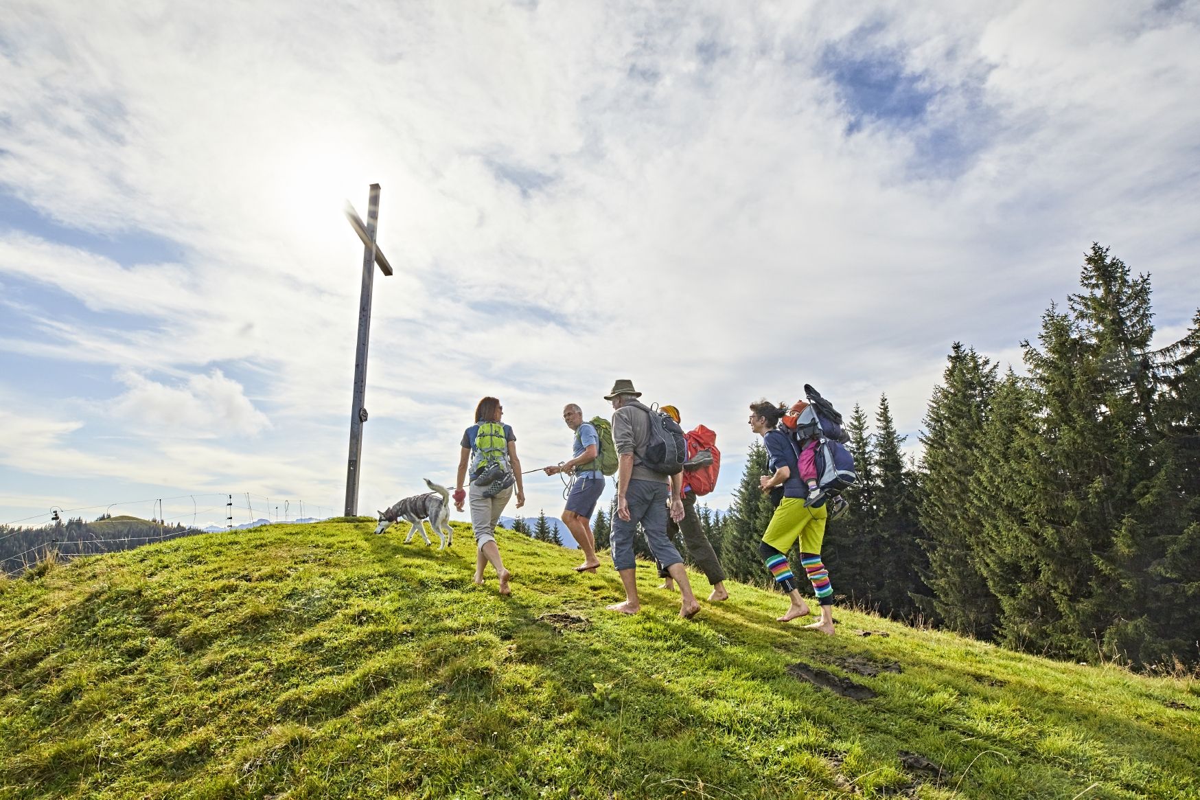
Hike up to the most beautiful views in Upper Bavaria – Go 7 Summits
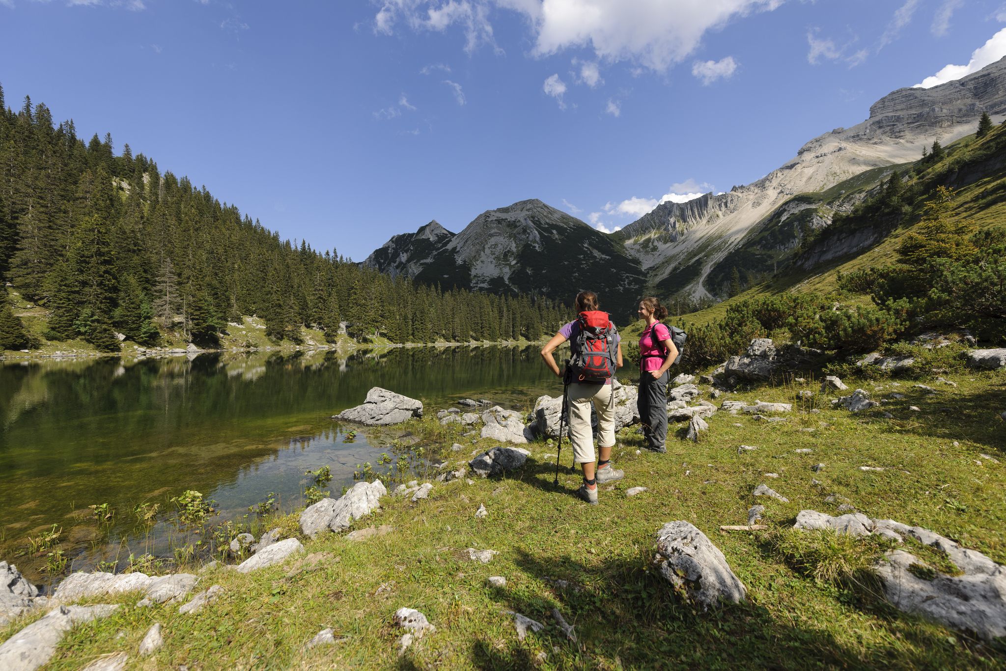
Karwendel – around Mittenwald
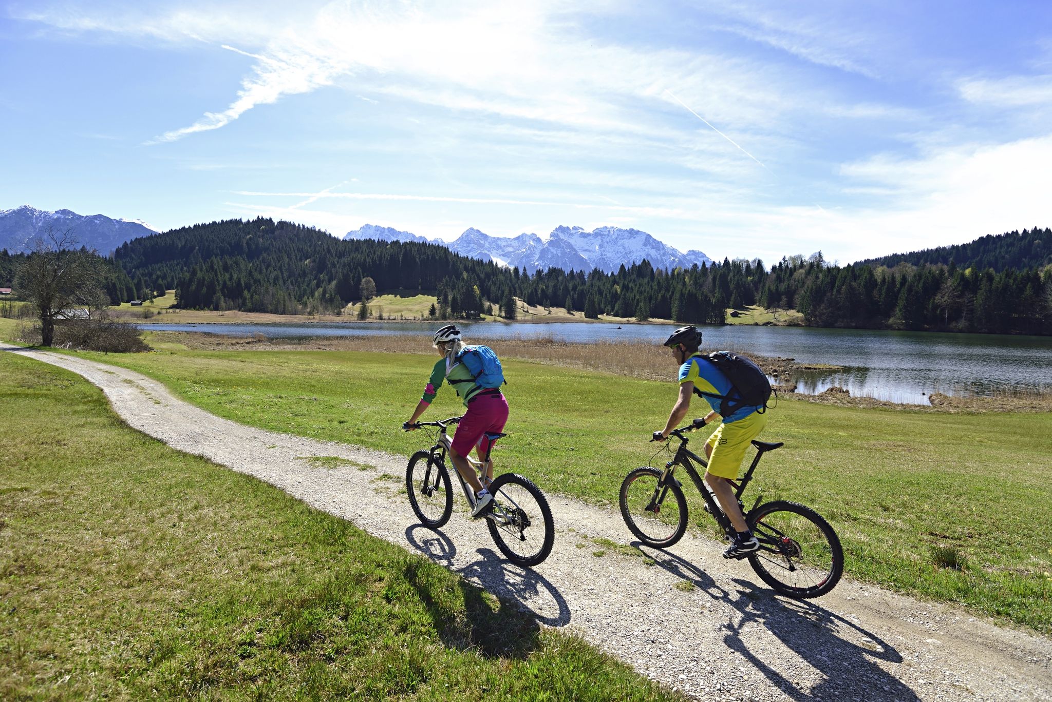
Ride to your favourite place – cycling in Alpenwelt Karwendel in Bavaria
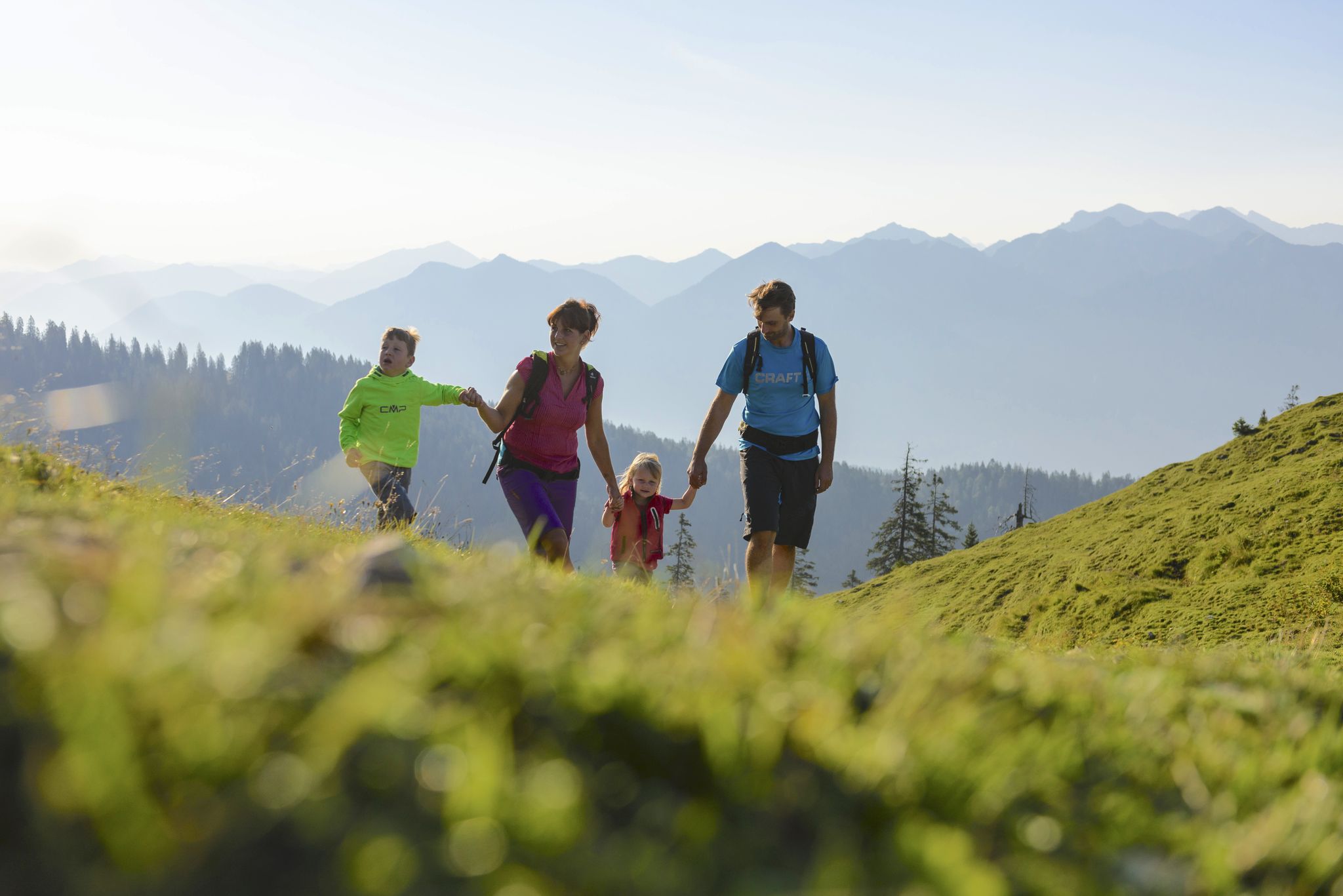
Discover the fairytale Alpenwelt Karwendel in Bavaria with the whole family
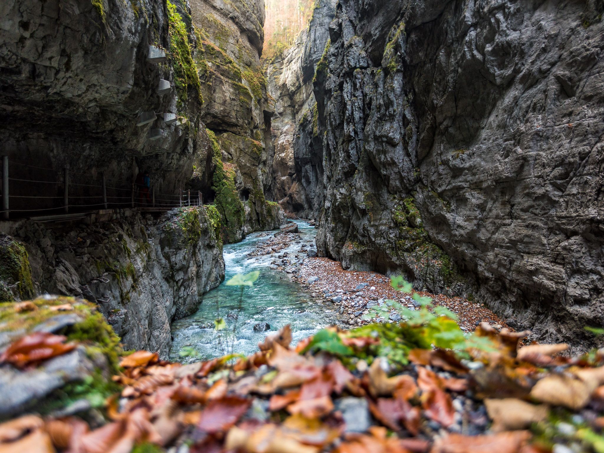
Watery German wonders — gorges and lakes in the Zugspitz Region
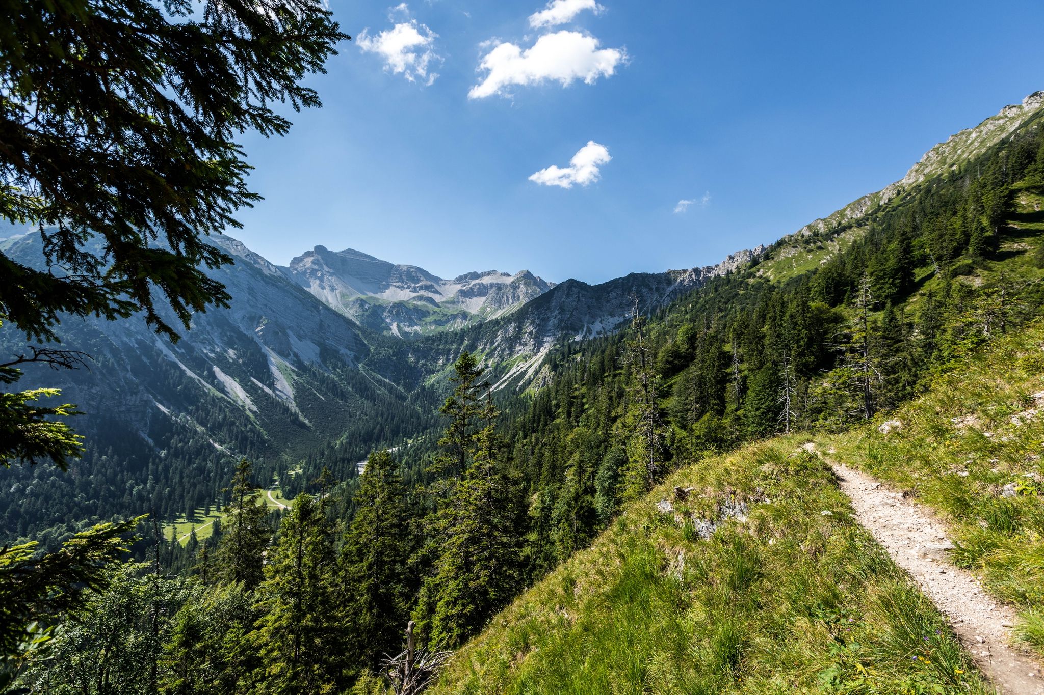
12 days through the Zugspitze region on the Spitzenwanderweg
Other adventures around Krün


Tips from the Community


This is a critical tactical spot on the steep forest ascent towards Seinskopf. Before breaking the tree line and committing to the long, sun-baked ridge, you cross a raw, rocky stream bed. This is your first and practically only chance to restock your water supply on the way up. Using a physical filter or a UV-C purifying bottle here is highly recommended. Aside from the survival logistics, this break in the dense forest canopy creates a perfect natural viewing window. Looking directly down the slope, you get a clear sightline straight into the Isar valley, with the towns of Krün and Wallgau visible below before you push further up the mountain.
0
0
Reaching the Soiernspitze at 2,259 meters is the absolute physical and visual climax of this route. After miles of demanding, sun-baked ridge walking, the summit opens up into a completely unobstructed, 360-degree panoramic reward. It is a masterclass in alpine topography where you can finally see exactly what you have conquered. Looking south and west, the horizon is heavily dominated by the massive, raw limestone walls of the main Karwendel ridge. On a clear day, you have a direct line of sight to the Birkkarspitze, the highest peak in the range, as well as the imposing Wetterstein mountains featuring the Zugspitze massif. Turning north, the rugged alpine terrain suddenly drops off into the flat Bavarian Alpine Foreland, with the bright blue waters of the Walchensee glowing clearly in the distance. The most striking feature, however, is the vertical perspective directly below your boots. Standing by the summit cross, you look straight down a massive, sheer drop into the deep glacial basin, getting a perfect top-down view of the dark twin Soiernseen lakes. It is the perfect strategic spot to drain the very last drop of your water, take in the vastness of the Isartal valley wrapping around the massif, and mentally prepare for the brutal scree descent that awaits you.
0
0

View of the Karwendel mountains
0
0


To get a really beautiful view, you should climb another 100 meters higher behind the hut and can enjoy the entire Karwendel mountain range.
0
0
Frequently Asked Questions
How many mountaineering routes are available around Krün?
There are over 15 mountaineering routes around Krün, offering diverse experiences in the Bavarian Alps. These routes explore the Soiern, Karwendel, Wetterstein, and Ester Mountains.
Are there any circular mountaineering routes in Krün?
Yes, Krün offers several excellent circular mountaineering routes. A popular option is the Soiern Hut – Fischbachalm loop from Krün, which is a challenging 13.9-mile (22.4 km) tour. Another highly-rated loop is the View of Signalkopf – Schöttelkarspitze loop from Krün, covering 9.4 miles (15.2 km) with significant elevation gain.
What are the difficulty levels of mountaineering routes in Krün?
The mountaineering routes around Krün range from moderate to difficult. You'll find 7 moderate routes and 8 difficult routes, providing options for experienced mountaineers seeking challenging ascents and traverses.
Are there any family-friendly mountaineering options or easier walks near Krün?
While many mountaineering routes in Krün are challenging, the region also offers easier walks. For a less strenuous experience, consider trails along the Isar River valley or exploring the unique Hummock Meadows (Buckelwiesen). For specific family-friendly routes, it's best to check individual tour descriptions for suitability.
What natural landmarks or scenic spots can I expect to see on these routes?
Mountaineering routes in Krün offer stunning views of the surrounding mountain ranges, including the Soiern, Karwendel, Wetterstein, and Ester Mountains. You might also encounter dramatic gorges like the Leutasch Ghost Gorge or the Höllental Gorge, and picturesque lakes such as Barmsee, Geroldsee, and Walchensee.
What do other mountaineers enjoy most about the routes in Krün?
The mountaineering routes in Krün are highly rated by the komoot community, with an average score of 4.6 stars from over 40 reviews. Mountaineers often praise the diverse alpine environment, the challenging ascents, and the breathtaking panoramic views of peaks like the Schöttlkarspitze and Signalkopf.
Are there any huts or cafes along the mountaineering trails for a break?
Yes, some routes pass by mountain huts where you can take a break and refuel. For example, the Soiern Hut – Fischbachalm loop from Krün includes the Soiern Hut. You can also find the Rotmoosalm nearby, which is a popular hut.
Can I access mountaineering trails in Krün using public transport?
Krün itself is accessible by public transport, and some trailheads might be reachable via local bus services. However, for many remote mountaineering starting points, personal transport is often more convenient. It's advisable to check local bus schedules for specific routes to trailheads.
What are some notable peaks or viewpoints accessible from Krün?
From Krün, you can access prominent peaks such as the Schöttlkarspitze, Seinskopf, and Signalkopf. Routes like the View of Signalkopf – Signalkopf (1,895 m) loop from Krün offer direct ascents to these impressive summits, providing expansive views of the Karwendel Mountains.
Are there any routes that offer views of the Karwendel Valley?
Yes, you can experience stunning views of the Karwendel Valley on several routes. The View of the Karwendel Valley – View of Signalkopf loop from Krün is a challenging 8.1-mile (13.1 km) route specifically designed to showcase these panoramic vistas.
What is the best time of year for mountaineering in Krün?
The best time for mountaineering in Krün is typically from late spring to early autumn (May to October) when the weather is more stable and trails are clear of snow. However, some routes, like the Schöttlkarspitze, can also be undertaken as winter ascents for experienced mountaineers, offering a different kind of challenge.
Are there any waterfalls to see near the mountaineering routes?
Yes, the region around Krün is home to several impressive waterfalls and gorges. You can visit the Kuhflucht Waterfall or the Lainbach Waterfalls in the Lain Valley, which are notable natural attractions in the wider area.
Most popular attractions around Krün

Get inspired with the komoot mobile app


Explore more
Browse the best Mountain Hikes & Routes in other regions.
