Leighton And Eaton Constantine
Leighton And Eaton Constantine
The 8 Most Amazing Peaks around Leighton And Eaton Constantine
Best mountain peaks around Leighton And Eaton Constantine are found within a region characterized by picturesque hills rather than towering mountains. This civil parish in Shropshire, England, is situated near the Shropshire Hills Area of Outstanding Natural Beauty (AONB), providing access to numerous scenic hills and walking opportunities. The Wrekin, a distinctive conical hill rising to over 400 meters, is a prominent local landmark. The area offers a variety of natural landscapes for exploration.
Best mountain peaks around Leighton And…
Last updated: May 20, 2026
The Wrekin summit
Highlight • Summit
Tip by

The Wrekin Hillfort
Highlight • Viewpoint
Tip by

Sign up now to discover places like this
Get recommendations on the best single tracks, peaks, & plenty of other exciting outdoor places.
Sign up for free
Wellington Rotary Toposcope on the Wrekin
Highlight • Monument
Tip by

Needle's Eye, The Wrekin
Highlight • Summit
Tip by

The Ercall Bluebell Woods
Highlight • Natural Monument
Tip by
Sign up for free to discover even more peaks around Leighton And Eaton Constantine.
Sign up for free
Already have an account?
Start today with a free account
Your next adventure awaits.
Login or Signup
Popular around Leighton And Eaton Constantine
Tips from the Community


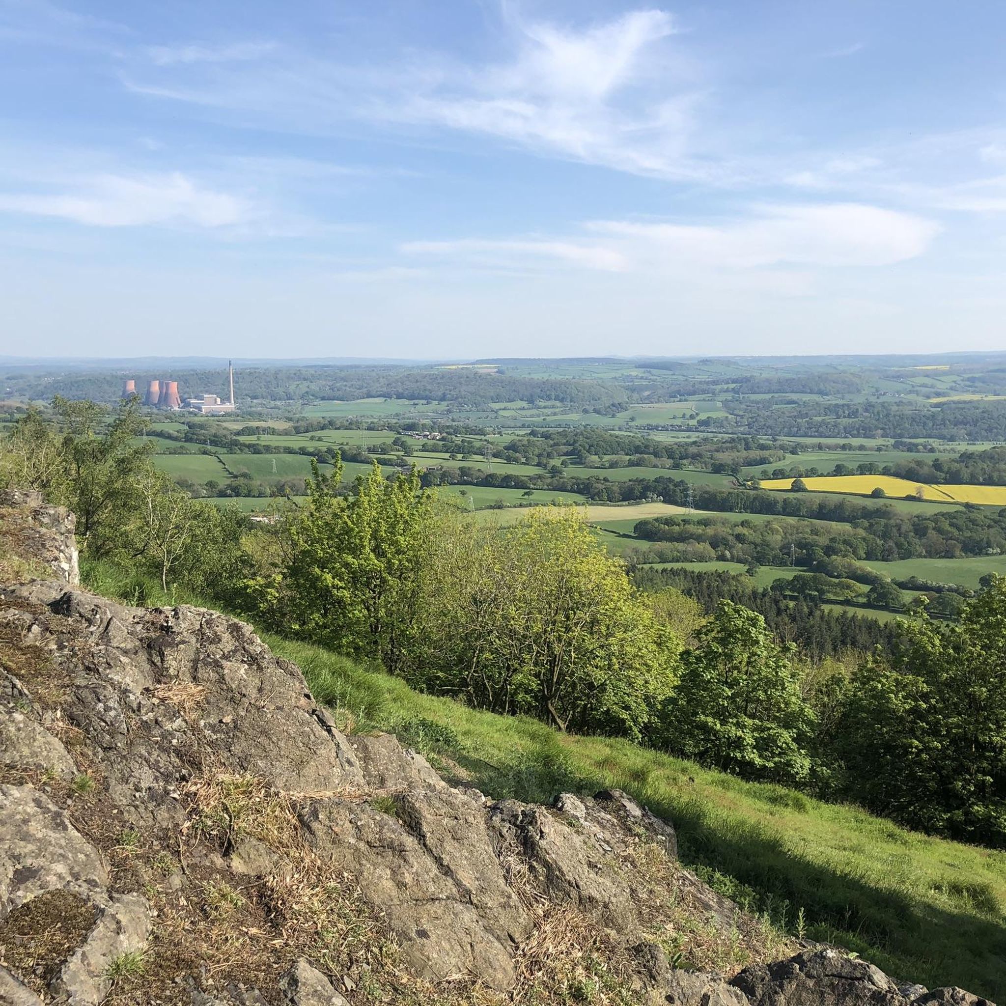
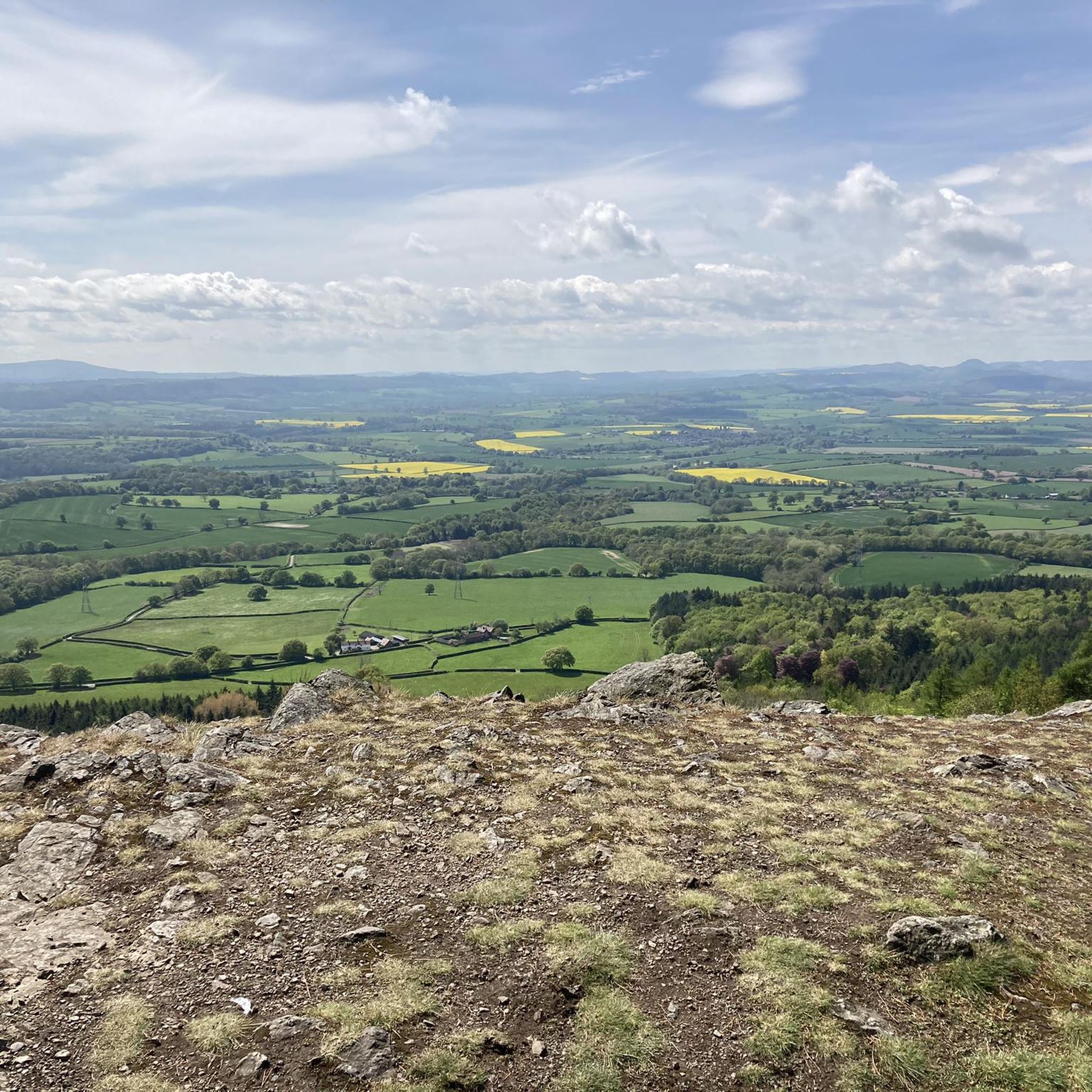
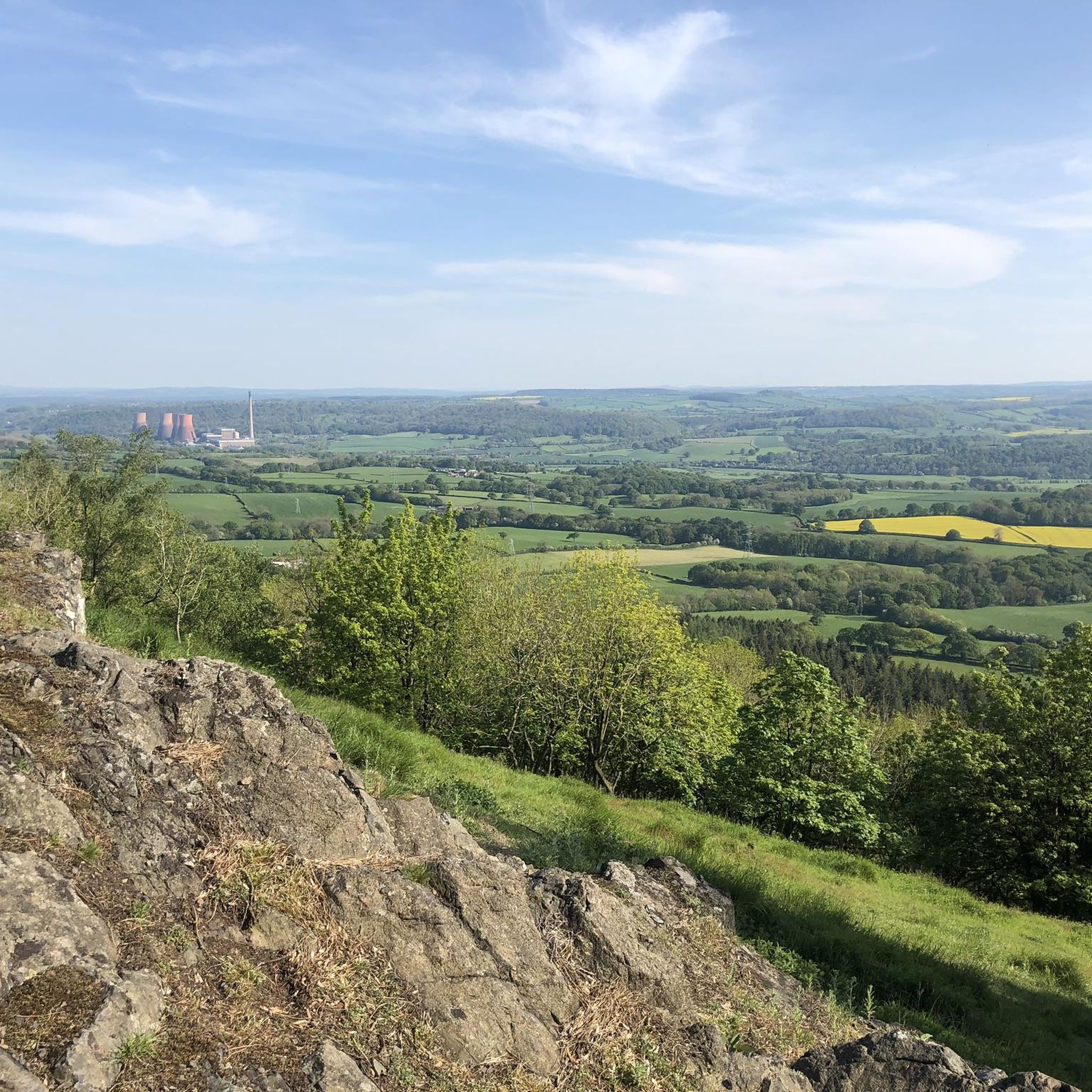
Rising to 407 metres, The Wrekin is a prominent landmark, its visibility from the M54 signalling the entrance to Shropshire. Unlike some of the local hills, The Wrekin was never a volcano in its own right, despite its conical shape, but is composed of various igneous rocks and volcanic processes. The ridgeline either side of The Wrekin makes for some great running, with fabulous views in every direction.
0
0

When I was at University in Brum in my first year I stayed with a lovely couple in Ward End. They used the local expression "all round the Wrekin". It was used to describe someone explaining something in a convoluted or complex way. Since then, I have had a fascination with the place and wanted to visit. Anyway, that was in the early 1970s - I finally got there in 2021 - better late than never!
1
0


On top of Wrekin showing distances to surrounding places, touch to tick you have been here.
1
0

To commemorate Queen Elizabeth II’s Silver Jubilee in 1977, the Wellington Rotary Club commissioned a Toposcope to be positioned near the Wrekin’s summit. The result was a large steel disc that is positioned onto a stone cairn. Inscribed onto the Toposcope through 360 degrees are 41 locations with their distance from the Wrekin. The original intention was that all of the locations should visible from the Wrekin’s summit. However, this isn’t the case. One of the locations – Mount Snowdon – cannot be seen as the bulk of Cadair Berwyn is in the way. It also doesn’t explain why the particular 41 locations were chosen, but the reason might be down to the Ordnance Survey and its Trigonometrical Stations. Of the locations, 39 are or were the site of an OS trig station. Only Buildwas (Ironbridge) Power Station and Trench Pool do not fall into this criterion. However, it is easy to argue that both have enough local interest and significance for them to been included on the Toposcope. By 2005, the original Toposcope had seen better days. It is not only open to the elements but it is also an easy perch for someone looking for a rest after the climb to the summit or to pose for a photograph. The 30 years of battering and buffing had eroded and worn away the inscriptions. Therefore, a replacement Toposcope was made, which now sits on the same cairn as the original.
0
0
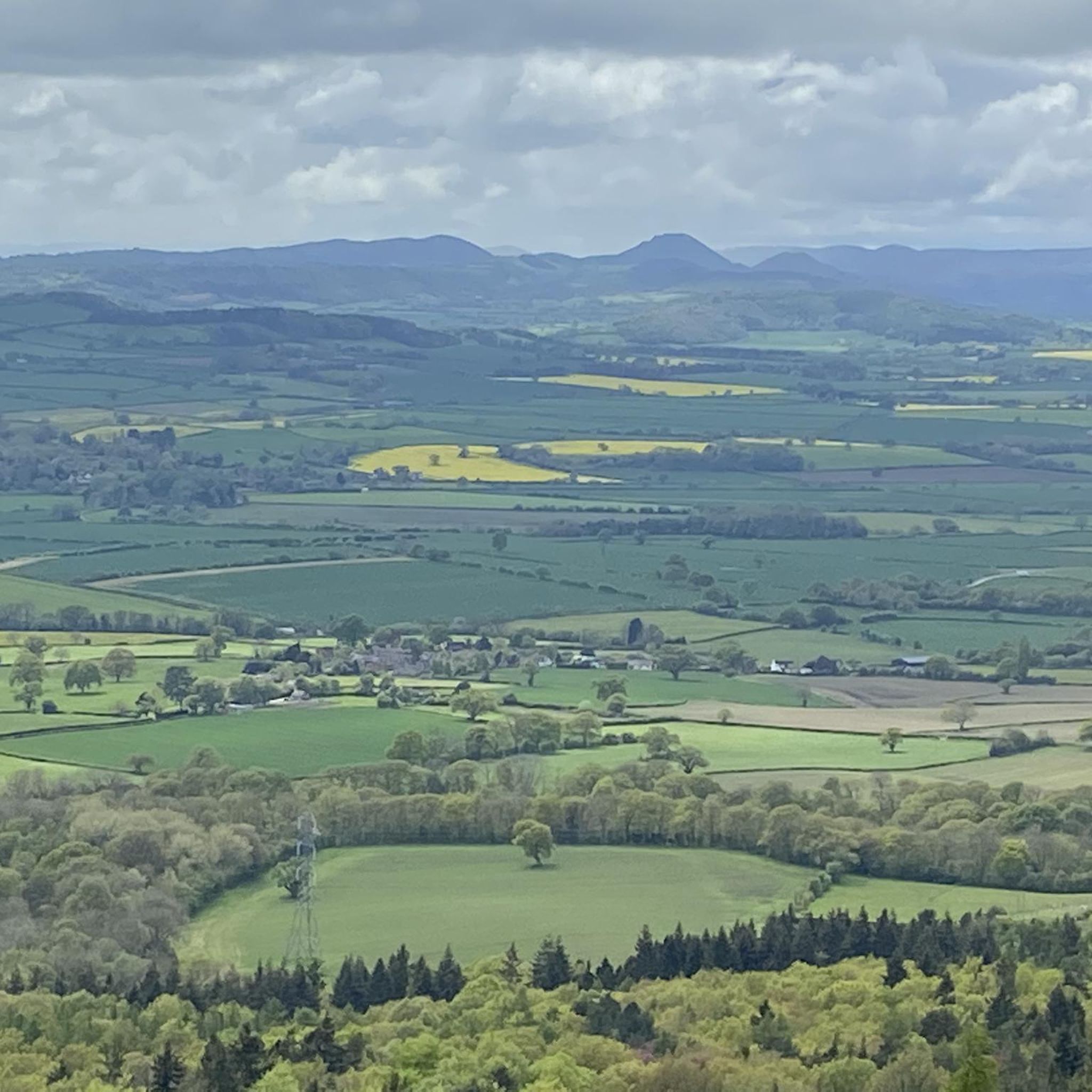
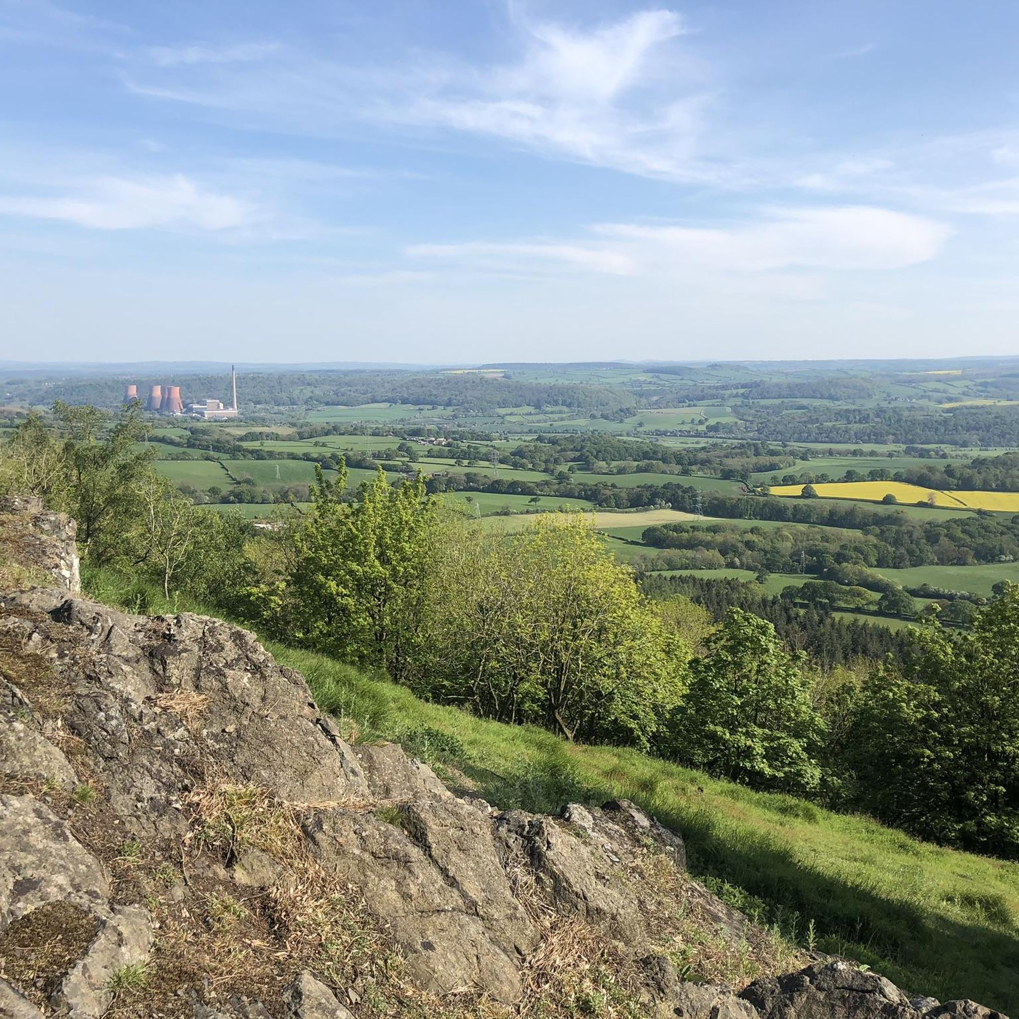
From top nice view on Telford, Shrewsbury and Shropshire Hills
1
0
Frequently Asked Questions
What are the most prominent hills and peaks near Leighton And Eaton Constantine?
The most prominent local landmark is The Wrekin summit, a distinctive conical hill offering extensive panoramic views. Beyond this, the nearby Shropshire Hills Area of Outstanding Natural Beauty (AONB) features other notable hills like The Stiperstones, Long Mynd, Caer Caradoc, and Wenlock Edge, each providing unique walking experiences.
What historical sites can I explore on the peaks near Leighton And Eaton Constantine?
The most significant historical site is The Wrekin Hillfort, an impressive Iron Age hillfort located at the summit of The Wrekin. This site also includes a Bronze Age barrow and a Holy Well, offering a deep dive into the region's ancient past.
How challenging is the hike to <a href="https://www.komoot.com/highlight/384083" target="_blank" rel="noopener">The Wrekin summit</a> and what can I expect?
The main path up The Wrekin summit from the Forest Glen car park is well-surfaced and easy to follow, though the initial section can be steep. It's considered a challenging but manageable climb, rewarding hikers with fantastic panoramic views across the Shropshire countryside from the top. The route is just over a mile each way.
Are there different routes to hike <a href="https://www.komoot.com/highlight/384083" target="_blank" rel="noopener">The Wrekin</a>?
Yes, while the main path from Forest Glen is popular, The Wrekin can also be reached by longer walks from Wellington through the Ercall woods, or from Little Wenlock or Ironbridge. There are also quieter public footpaths and permissive paths around the hill, allowing for varied experiences.
What unique natural features can I find on the peaks in this area?
Beyond the panoramic views from The Wrekin summit, you can explore Needle's Eye, The Wrekin, a distinctive gap in a rocky outcrop. Additionally, The Ercall Bluebell Woods are known for their exceptional bluebell displays in spring and diverse birdlife within former quarry areas.
Are the mountain peaks around Leighton And Eaton Constantine suitable for families and dogs?
Many of the trails, especially those on The Wrekin, are popular with families and dogs. While some sections can be steep, there are varied routes available. For easy hikes, consider routes like the Wrekin Woodland Trail or exploring The Ercall Bluebell Woods, which offer gentler terrain.
What outdoor activities can I do near these mountain peaks?
The region offers a variety of outdoor activities. You can find numerous hiking trails, including easy loops around The Wrekin and The Ercall Bluebell Woods. There are also options for mountain biking and cycling routes that explore the surrounding countryside and hills.
What do visitors enjoy most about the peaks around Leighton And Eaton Constantine?
Visitors frequently highlight the rewarding hiking experiences, the historical significance of sites like The Wrekin Hillfort, and the breathtaking panoramic views from summits such as The Wrekin summit. The diverse natural surroundings, including the spring bluebells in The Ercall Bluebell Woods, are also highly appreciated.
Are there any specific viewpoints or landmarks on <a href="https://www.komoot.com/highlight/384083" target="_blank" rel="noopener">The Wrekin</a>?
Yes, at the summit of The Wrekin, you'll find the Wellington Rotary Toposcope, a steel disc indicating distances to surrounding places. Another unique feature is Needle's Eye, The Wrekin, a gap in a rocky outcrop that, according to local folklore, you must pass through to be a 'true Salopian'.
What is the best time of year to visit the peaks in the Shropshire Hills?
Spring is particularly beautiful for seeing the bluebells in The Ercall Bluebell Woods. Summer offers vibrant heather on hills like The Stiperstones and Long Mynd, and generally good weather for hiking. Autumn provides stunning foliage, while winter can offer crisp views, though conditions may be more challenging on trails.
Where can I find easy hiking routes near Leighton And Eaton Constantine?
For easy hikes, consider the Easy hikes around Leighton And Eaton Constantine guide. It includes routes like the Wrekin Woodland Trail, loops around The Ercall Bluebell Woods, and other gentle paths suitable for a relaxed walk.
Most popular routes around Leighton And Eaton Constantine
Most popular attractions around Leighton And Eaton Constantine

Get inspired with the komoot mobile app


Explore more
See even more amazing summits around Leighton And Eaton Constantine with these guides:
