The best mountain hikes around Egweil
4.0
(86)
346
hikers
4
hikes
Mountaineering routes around Egweil are situated within the picturesque Landkreis Eichstätt, characterized by its distinctive Jura limestone formations and varied topography. The region features prominent rock outcrops, such as the Dohlenfelsen, and offers routes that navigate through wooded valleys and along elevated ridges. These trails provide opportunities to explore the natural rock windows and historical chapel sites that define the local landscape.
Best mountaineering routes around Egweil
- The most popular mountaineering route is Dohlenfelsen – Rock Window loop from Wellheim…
Last updated: September 25, 2026
4.5
(36)
148
hikers
6.87km
02:20
170m
170m
Hard mountaineering route. Good fitness required. Sure-footedness, sturdy shoes and alpine experience required.
4.4
(34)
126
hikers
6.89km
02:20
170m
170m
Hard mountaineering route. Good fitness required. Sure-footedness, sturdy shoes and alpine experience required.

4.8
(5)
20
hikers
2.91km
01:00
70m
70m
Hard mountaineering route. Great for any fitness level. Sure-footedness, sturdy shoes and alpine experience required.
3.0
(2)
10
hikers
2.17km
00:49
80m
80m
Hard mountaineering route. Great for any fitness level. Sure-footedness, sturdy shoes and alpine experience required.
3.0
(1)
2
hikers
3.04km
00:57
60m
60m
Hard mountaineering route. Great for any fitness level. Sure-footedness, sturdy shoes and alpine experience required.
Our route recommendations are based on thousands of hikes, rides, and runs completed by other people on komoot.
Start today with a free account
Your next adventure awaits.
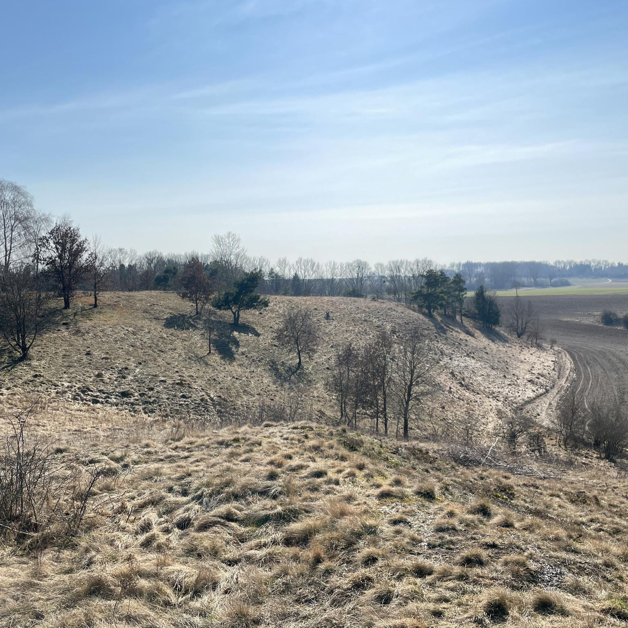
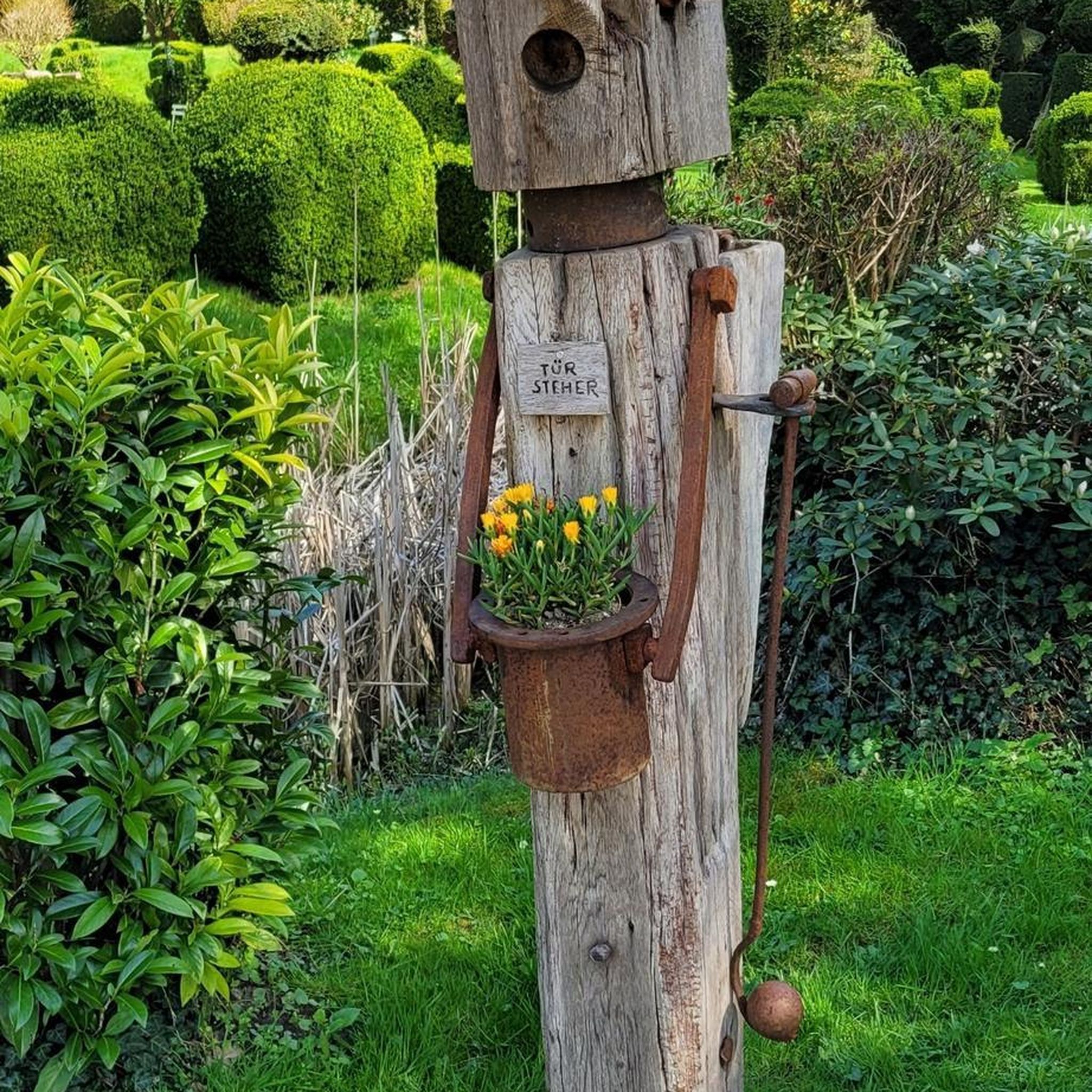
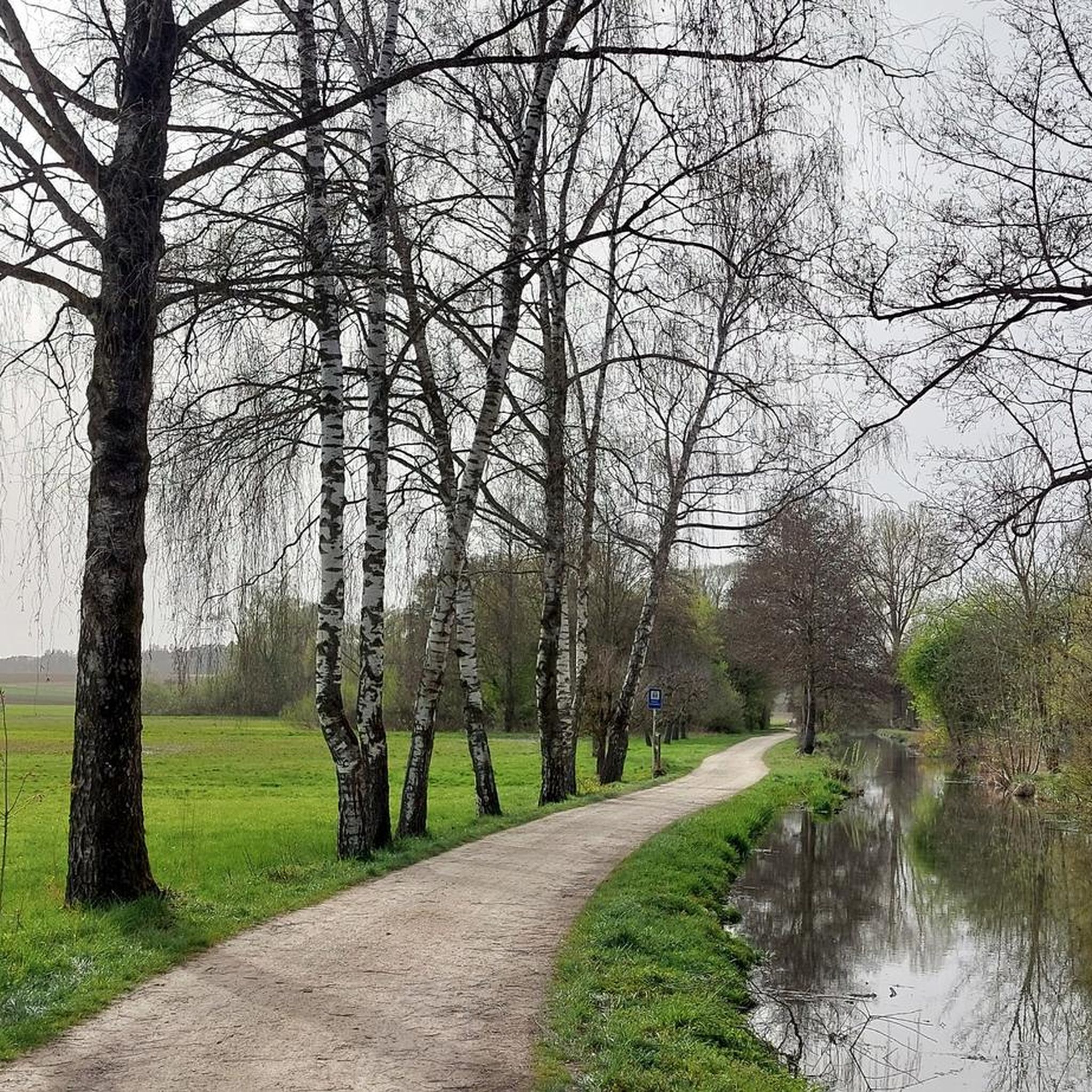
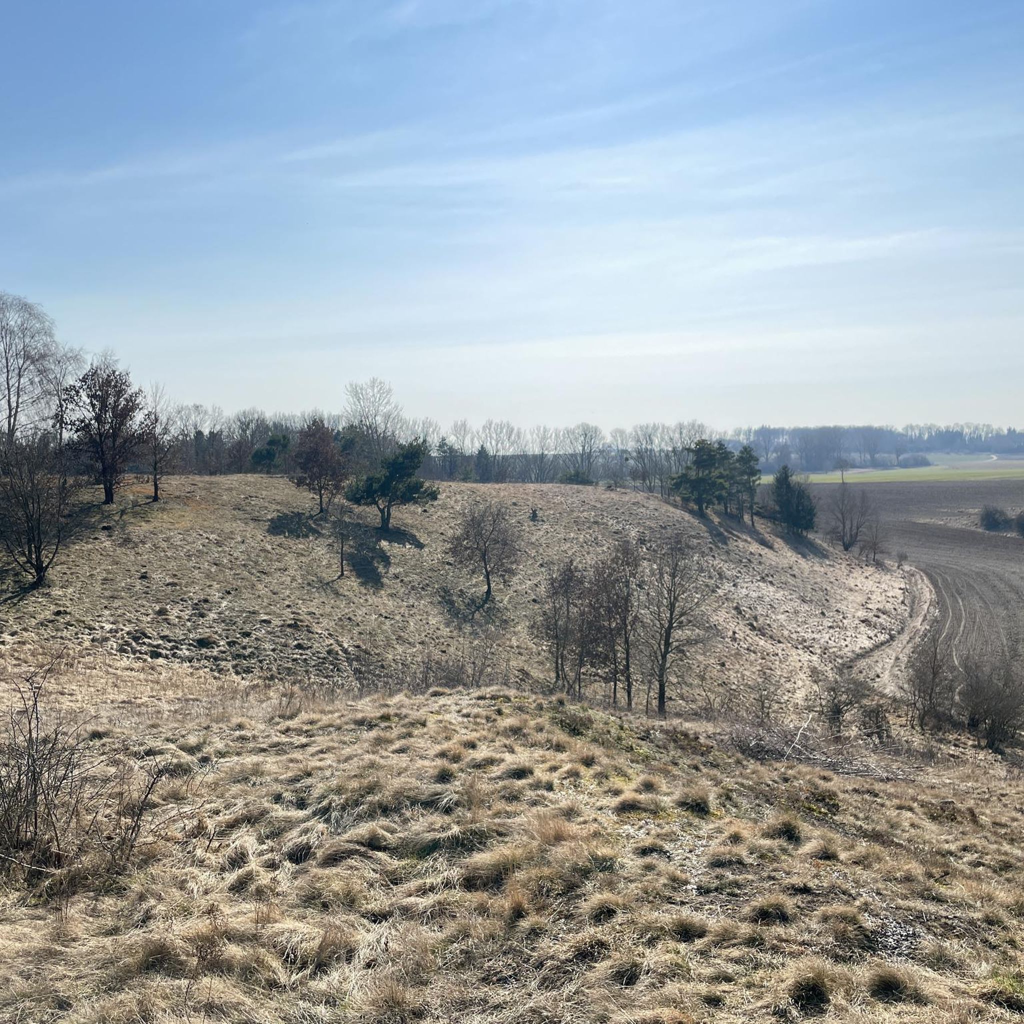
Tips from the Community

You have a view of the Wellheim dry valley all the way to the castle ruins
0
0

Sufficient parking spaces available, free of charge with a view of the rocks.
7
0
A photo of the Felsenstieg is also possible, beautiful rock formations.
8
0

We like it - beautiful (short) secured sections https://www.via-ferrata.de/klettersteige/topo/konsteiner-klettersteig-altmuehltal-oberlandsteig
2
0

One of the impressive rocks in the Urdonautal and a landmark of the Altmühltal. You can watch climbers on the steep wall. The Schutterquelle is also nearby.
4
0

When I wanted to go the tour (blue) it was just too wet. I then only walked the Felsensteig (red) and can say that it was exactly the right decision. Even the Felsensteig is still ambitious enough in some places when the weather is wet. Since I was traveling alone, supporting was not an option, as there is a certain risk of injury.
0
0
A hike over the Felsensteig and through the forest also helps to cool off in summer.
0
0
Frequently Asked Questions
What is the general difficulty level of mountaineering routes around Egweil?
All mountaineering routes in the Egweil area are classified as difficult. They feature significant elevation gain and varied terrain, making them suitable for experienced mountaineers looking for a challenge.
Are there any family-friendly mountaineering options in Egweil?
Given that all routes around Egweil are rated as difficult, they may not be suitable for young children or families seeking easy walks. These trails are designed for experienced mountaineers.
What kind of terrain can I expect on the mountaineering routes near Egweil?
The terrain around Egweil is characterized by distinctive Jura limestone formations, prominent rock outcrops like the Dohlenfelsen, and routes that navigate through wooded valleys and along elevated ridges. You'll encounter rocky sections and varied ground.
Are there any circular mountaineering routes available in Egweil?
Yes, several routes around Egweil are circular. For example, the Dohlenfelsen – Rock Window loop from Wellheim is a popular circular trail, as is the Rock Window loop from Wellheim.
What are some notable natural features or landmarks to see along the routes?
The routes often pass by significant natural rock formations and historical sites. You can explore the impressive Dohlenfelsen and natural rock windows. The longer Burgstein Chapel – Rock Window loop from Wellheim also takes you past historical chapel sites.
What do other mountaineers say about the routes in Egweil?
The mountaineering routes in Egweil are highly rated by the komoot community, with an average score of 4.2 stars from over 70 reviews. Users often praise the challenging terrain and the scenic views of the Jura limestone landscape.
Is it possible to access the mountaineering routes using public transport?
Information regarding specific public transport connections directly to the trailheads in Egweil is not readily available. It is generally recommended to plan for personal vehicle access or check local bus schedules for connections to nearby towns like Wellheim, from where many routes start.
Are there specific parking areas for mountaineers near the trailheads?
While specific parking areas are not detailed for every trailhead, routes often start from villages like Wellheim. It is advisable to look for designated parking in these villages or at popular starting points, respecting local regulations.
What is the best time of year for mountaineering in Egweil?
The best time for mountaineering in Egweil is typically during the spring, summer, and autumn months when the weather is more stable and the trails are clear of snow and ice. Winter mountaineering is possible but requires appropriate gear and experience due to potentially challenging conditions on rocky and exposed sections.
Are there any permits required for mountaineering in the Egweil area?
Generally, no specific permits are required for recreational mountaineering on the established trails around Egweil. However, always respect private property and nature conservation areas, and stay on marked paths.
Are there any cafes or refreshment stops near the mountaineering routes?
The routes are situated in a rural area, so direct refreshment stops on the trails themselves are limited. It's best to plan for provisions before you start. You may find cafes or restaurants in nearby villages such as Wellheim, which serve as common starting points for these tours.
Which route offers the most extensive mountaineering experience in the region?
For a more extensive mountaineering experience, consider the Burgstein Chapel – Rock Window loop from Wellheim. At nearly 19 km, it's the longest route and offers significant elevation gain, traversing varied terrain and passing historical chapel sites.
What is the shortest difficult mountaineering route around Egweil?
The shortest difficult mountaineering route is the Dohlenfelsen – View from Dohlenfelsen loop from Wellheim, which is about 2.3 km long and can be completed in approximately 50 minutes. Despite its length, it still offers challenging rocky outcrops and wooded sections.
Most popular attractions around Egweil

Get inspired with the komoot mobile app


Explore more
Browse the best Mountain Hikes & Routes in other regions.
