The best running trails around Ardglass
91
runners
12
runs
Jogging around Ardglass offers routes along a dramatic coastline, featuring a mix of country roads, tracks, and footpaths. The region is characterized by its coastal topography, with paths extending along the shoreline and cliff edges. Elevation changes are present, providing varied terrain for runners. The area also incorporates sandy beaches, rocky foreshore, and grassy banks, contributing to diverse running experiences.
Best jogging routes around Ardglass
- The most popular jogging route is River Quoile – Quoile Bridge loop from Downpatrick,…
Last updated: October 1, 2026
53
runners
11.4km
01:12
100m
100m
Moderate run. Good fitness required. Mostly paved surfaces. Suitable for all skill levels.
8
runners
9.41km
00:59
60m
60m
Moderate run. Good fitness required. Mostly paved surfaces. Suitable for all skill levels.

3
runners
10.3km
01:04
50m
50m
Moderate run. Good fitness required. Mostly paved surfaces. Suitable for all skill levels.
2
runners
10.6km
01:06
40m
40m
Moderate run. Good fitness required. Mostly paved surfaces. Suitable for all skill levels.
3
runners
Moderate run. Good fitness required. Mostly paved surfaces. Suitable for all skill levels.
Get access to more routes and recommendations from other explorers.
Already have an account?
Our route recommendations are based on thousands of hikes, rides, and runs completed by other people on komoot.
Start today with a free account
Your next adventure awaits.
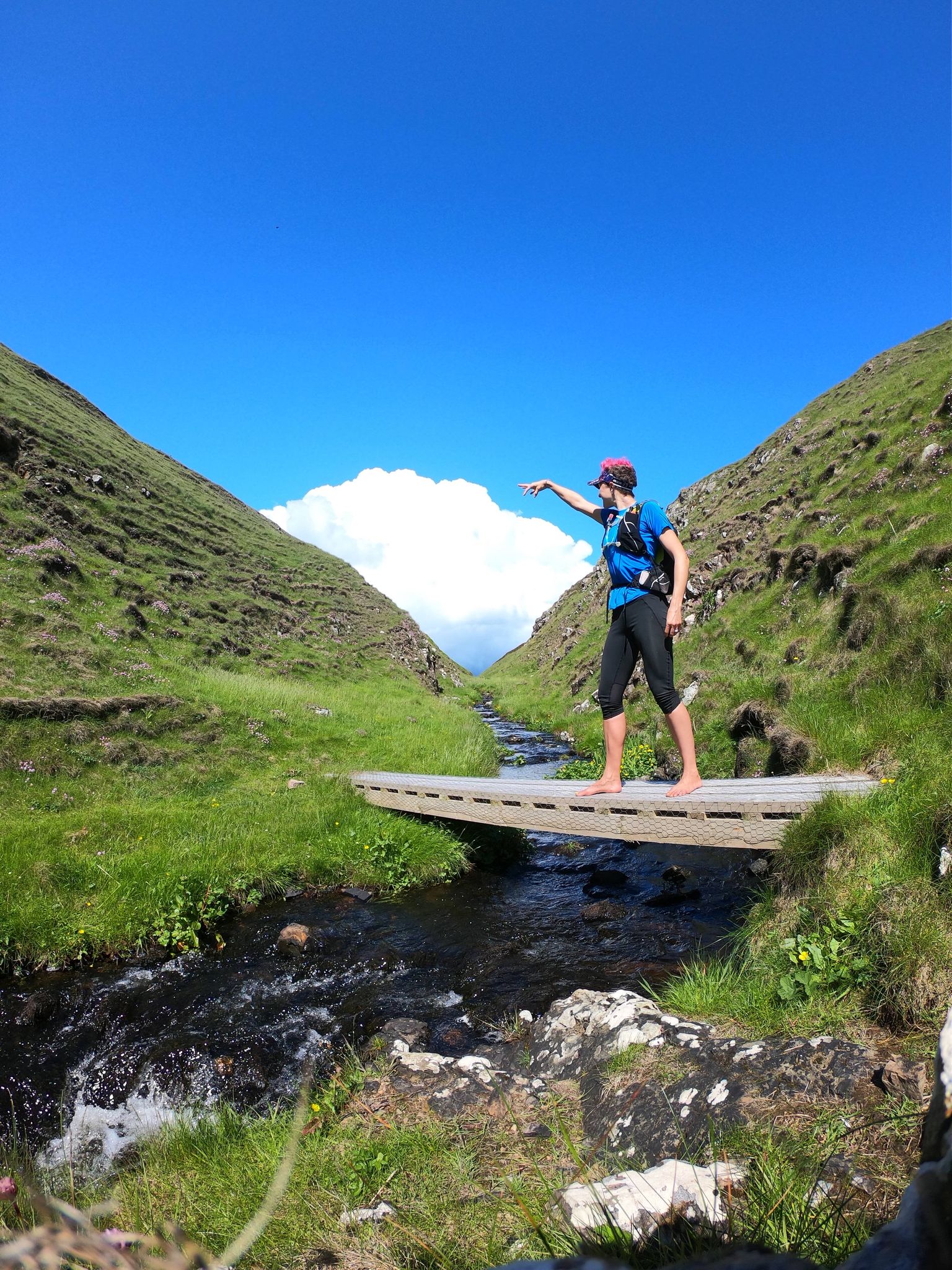
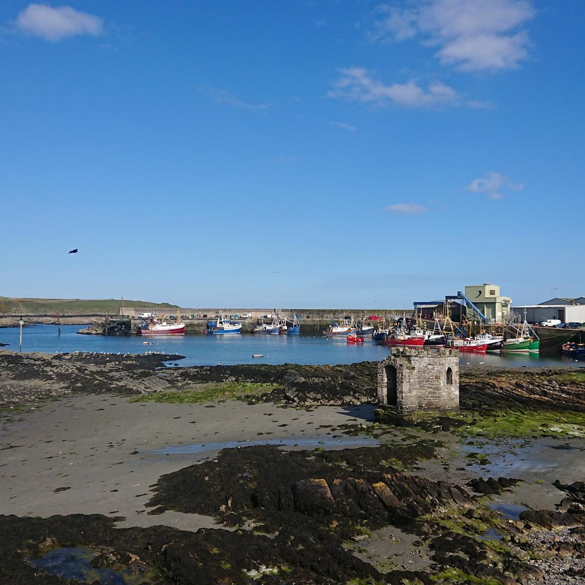
Other adventures around Ardglass

Tips from the Community

The vast coastline stretches out endlessly before you, and the panorama with the majestic Mourne Hills in the background creates a scene that is hard to put into words. The gentle waves touching the sand and the silence of the surroundings make you feel the vastness and freedom of this place.
1
0

Here is a great vantage point to enjoy the best of the sensational River Quoile. Enjoy beautiful scenery of rounded hills and marshes as you pass the tranquil riverside and keep your eyes peeled for local bird and wildlife that are often seeing relaxing on the water.
2
0

Ballyhornan is sandy beach surrounded by cliffs. Guns Island lies just in the bay. On the horizon it is possible to see the Isle of Man.
1
0
Quoile Bridge is a six arch stone bridge that runs over the River Quoile. The bridge was built around 1680 and may be one of the oldest bridges in County Down!
3
0
Here is a great vantage point to enjoy the best of the sensational River Quoile. Enjoy beautiful scenery of rounded hills and marshes as you pass the tranquil riverside and keep your eyes peeled for local bird and wildlife that is often seeing relaxing on the water.
2
0

Beautiful views across the bay to the Mourne Hills AONB from the fine sandy beach.
2
0

[Translation may change URLs] Saint Patrick Centre (2022-09-25): https://www.saintpatrickcentre.com/ Wikipedia (Saint Patrick Visitor Centre, 2022-09-25): https://en.m.wikipedia.org/wiki/Saint_Patrick_Visitor_Centre Tripadivisor (The Saint Patrick Centre, 2022-09-25): https://www.tripadvisor.com/Attraction_Review-g186477-d212603-Reviews-The_Saint_Patrick_Centre-Downpatrick_County_Down_Northern_Ireland.html google (Street View, 2022-09-25): https://www.google.com/maps/@54.3274104,-5.7186598,3a,90y,290.11h,89.4t/data=!3m7!1e1!3m5!1sciBSUzOAA_Jyb4RvhF7AwQ!2e0!6shttps:%2F%2Fstreetviewpixels-pa.googleapis.com%2Fv1%2Fthumbnail%3Fpanoid%3DciBSUzOAA_Jyb4RvhF7AwQ%26cb_client%3Dmaps_sv.tactile.gps%26w%3D203%26h%3D100%26yaw%3D20.517939%26pitch%3D0%26thumbfov%3D100!7i13312!8i6656
2
0
A really nice sandy beach with a beautiful view of the bay and the small island in front of the bay.
3
0
Frequently Asked Questions
How many running routes are available around Ardglass?
There are 13 dedicated running routes around Ardglass listed on komoot, offering diverse experiences for joggers. These routes cater to various preferences, from coastal paths to inland loops.
What kind of terrain can I expect on jogging routes near Ardglass?
The terrain around Ardglass is quite varied, featuring a mix of country roads, tracks, and footpaths. You'll encounter coastal paths along the shoreline and cliff edges, as well as sandy beaches, rocky foreshore, and grassy banks. The region's 'wild coastline' and 'dramatic natural scenery' mean you can expect some elevation changes, providing a good workout.
Are there any family-friendly running paths in Ardglass?
While specific 'family-friendly' designations aren't provided, many of the routes offer moderate difficulty, making them suitable for active families. The Running loop from Ardglass, for instance, is a moderate 5.9-mile path that offers views of the village and coastal scenery, which could be enjoyable for families looking for a scenic run.
Can I bring my dog on the running trails in Ardglass?
Ardglass's coastal paths and rural tracks are generally welcoming to dogs, especially if kept on a lead. The Lecale Way, which forms part of many routes, is a popular choice for dog walkers. Always be mindful of local signage, livestock, and other trail users, particularly in more populated areas or nature reserves.
Are there circular running routes available in the Ardglass area?
Yes, many of the running routes around Ardglass are circular. For example, the River Quoile – Quoile Bridge loop from Downpatrick is a 6.9-mile loop with moderate elevation. Another popular option is the Running loop from Ardglass, which offers coastal views.
What historical landmarks or scenic viewpoints can I see while running in Ardglass?
Jogging in Ardglass offers a blend of natural beauty and history. You might pass medieval tower houses like Jordan's Castle, King's Castle, and Cowd Castle. Scenic viewpoints include dramatic cliffs and sweeping views over the Irish Sea. The Ardglass Harbour itself is a picturesque spot, and you can also find views towards the Mourne Mountains from Strangford & Lecale Beach.
Where can I find parking for the running trails in Ardglass?
Parking is generally available in and around Ardglass village, particularly near the harbour or designated car parks for coastal access points. For routes starting further afield, such as the Running loop from Killough or Running loop from Rossglass Beach, you'll typically find roadside parking or small village car parks nearby.
Is public transport accessible for reaching running routes in Ardglass?
Ardglass is served by local bus routes, which can connect you to nearby towns and villages, including those that serve as starting points for some running trails. For detailed schedules and routes, it's advisable to check local transport provider websites, as services can be less frequent in rural areas.
What is the best time of year to go running in Ardglass?
The spring and summer months (April to September) generally offer the most pleasant weather for running in Ardglass, with milder temperatures and longer daylight hours. However, the coastal environment means conditions can change rapidly. Autumn offers beautiful scenery, but be prepared for cooler temperatures and potentially stronger winds. Winter runs can be invigorating but require appropriate gear for cold and wet conditions.
What makes the coastal running experience in Ardglass unique?
The coastal running experience in Ardglass is unique due to its dramatic natural scenery, 'wild coastline,' and rich history. Routes often follow the Lecale Way, offering breathtaking sea views, cliff-top paths, and diverse terrain including sandy beaches and grassy tracks. The presence of historic tower houses and a working harbour adds a cultural dimension to your run, making it both a physical and visually stimulating activity.
Are there any less crowded running options around Ardglass?
To find less crowded running options, consider exploring sections of the Lecale Way further from the main village centers, or routes that start from smaller hamlets like Killough or Rossglass Beach. The Running loop from Rossglass Beach, for instance, offers a scenic coastal path that might be quieter than routes directly from Ardglass village.
Are there any cafes or pubs near the running routes in Ardglass?
Ardglass village itself has local amenities, including cafes and pubs, which are convenient for routes starting or ending there, such as the Running loop from Ardglass. For routes in surrounding areas, you might find establishments in nearby villages like Killough or Downpatrick, offering a chance to refuel after your run.
Can I find routes that are part of the Lecale Way for running?
Yes, Ardglass is a key point along the scenic Lecale Way, and many running routes incorporate sections of this coastal path. The Lecale Way offers diverse terrain, from country roads to footpaths, and provides extensive opportunities for jogging with frequent signposts. This allows runners to experience the 'wild coastline' and dramatic natural scenery that defines the region.
Most popular routes around Ardglass
Most popular attractions around Ardglass

Get inspired with the komoot mobile app


Explore more
Browse the best Running Trails & Routes in other regions.
