The best running trails around Aßling
4.4
(48)
319
runners
34
runs
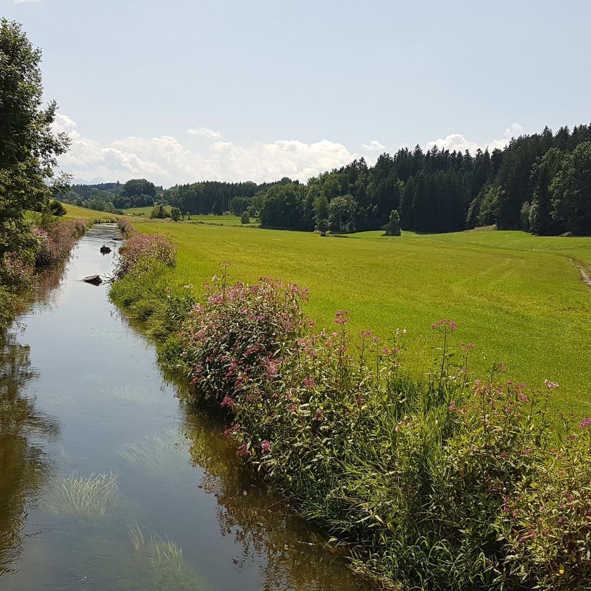
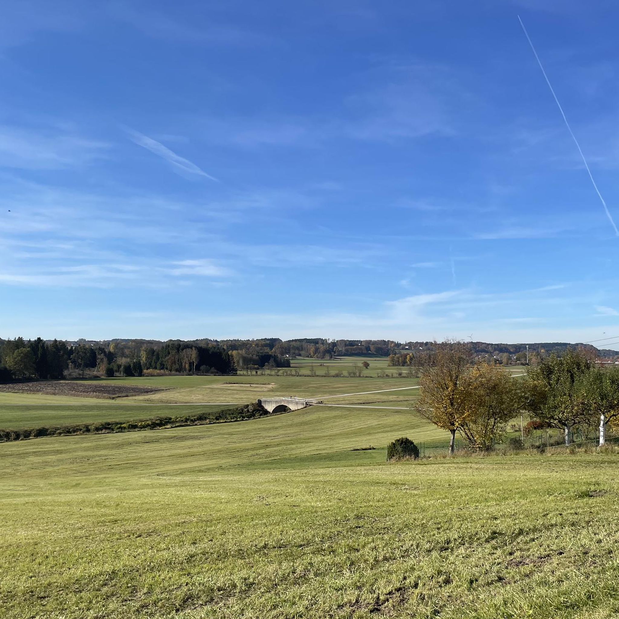
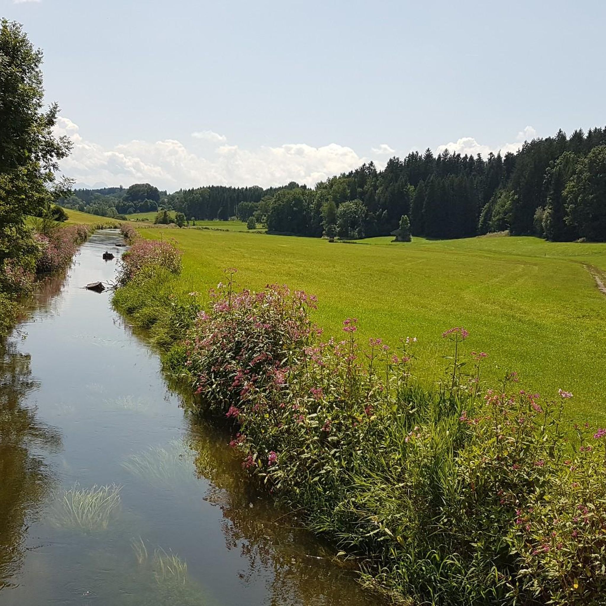
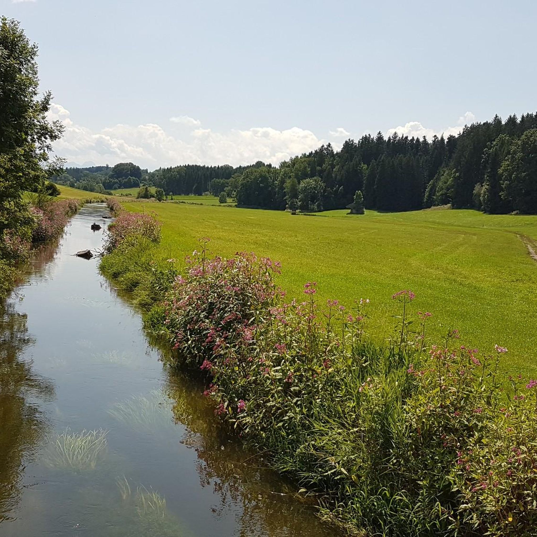
Jogging routes around Aßling offer a diverse landscape characterized by idyllic rolling hills, lush green forests, and serene lakes. The region, situated in Upper Bavaria, Germany, provides varied terrain suitable for running, from gentle inclines to shaded, flat paths. The Mangfall Valley presents picturesque routes alongside the river, while tranquil lakes like Egglburger Lake and Steinsee offer scenic perimeters for running. This natural environment provides a compelling setting for outdoor activities, including running.
Best jogging routes around Aßling
- The most…
Last updated: August 11, 2026
4.6
(19)
30
runners
10.5km
01:05
40m
40m
Moderate run. Good fitness required. Mostly paved surfaces. Suitable for all skill levels.
4.3
(4)
16
runners
Moderate run. Good fitness required. Mostly paved surfaces. Suitable for all skill levels.

Sign up for free
4.2
(5)
13
runners
8.24km
00:52
80m
80m
Moderate run. Good fitness required. Mostly paved surfaces. Suitable for all skill levels.
5.0
(1)
13
runners
13.7km
01:27
50m
50m
Moderate run. Good fitness required. Mostly paved surfaces. Suitable for all skill levels.
4.0
(1)
11
runners
8.88km
00:56
70m
70m
Moderate run. Good fitness required. Mostly paved surfaces. Suitable for all skill levels.
Get access to more routes and recommendations from other explorers.
Sign up for free
Already have an account?
Our route recommendations are based on thousands of hikes, rides, and runs completed by other people on komoot.
Start today with a free account
Your next adventure awaits.
Login or Signup
Tips from the Community

The section with the trail no longer leads through the roots between the trees (as can be seen in the photo), but now runs in a short curve along the eastern edge of the field.
1
0

A Namw keeps his word. Nature almost as far as the eye can see.
1
0
The geographical coordinates are spherical coordinates that can be used to describe the position of a point on the earth's surface. The geographical latitude is measured from the equator to the north (0° to 90° north at the North Pole) and south (0° to 90° south at the South Pole), the geographical longitude from the prime meridian from 0° to 180° to the east and from 0° to 180° to the west. Parallels of latitude (lines of constant latitude) run parallel to the equator, longitudes (lines of constant longitude) through the North and South Pole. Source and further information https://de.m.wikipedia.org/wiki/Geographische_Koordinaten
1
0

The “The Degree Confluence Project” is an English-language website on which you can upload photos from very specific points on earth, the intersections of longitude and latitude. The aim is to document all intersections on earth with photos and upload them to the project website. Points that have already been visited can also be visited again and photographed to show possible changes. By the way, the site has been around for over 20 years, it was started in 1996 by Alex Jarrett from the USA. A point of confluence is the place where a line of longitude and a line of latitude intersect. There are about 64,000 such intersections on Earth. Of course, most of these points are in the sea, since the earth has more sea area than land area. All points in the sea are called “secondary points of confluence”. And because the intersections of longitude and latitude are naturally quite clustered near the poles, some intersections on land are also considered only secondary points. From the 49th parallel it hits every third point. Further points from the evaluation of the primary confluence points fall even closer to the poles. But there are still about 12,000 points left, all of which want to be visited and photographed. In Germany there are 32 primary and 15 secondary confluence points. One of these points is in the district of Ebersberg, something "Out of Aßling". Here the 48 degrees north latitude and the 12 degrees east longitude meet. We visited this point and took a photo. And since only from the 49th degree of latitude points are no longer counted as primary, the point at Aßling is a real primary point of confluence. Which is also beautifully situated.
3
0
This boulder not only commemorates the 50th anniversary of 1947 - 1997 SPD Aßling - Loitersdorf, but also marks the intersection of the 48th degree of latitude north and the 12th degree of longitude east
1
0

A point of confluence is the intersection of integer degrees of latitude and integer degrees of longitude. These points are not really rare. The point of confluence N48° O12° is north of Aßling on the cycle path to Grafing. It is also on the Attel, which arises not far, strengthens the Inn at Elend ind near Wasserburg, which in turn rises in the Danube at Passau, which ends in the Black Sea. So whoever haunts the Attel sends a greeting across the Black Sea to Ukraine
0
0
Beautiful and rustic passage, which at one point (see picture) runs a little narrower between trees. Can be driven continuously without any problems. 04/2021
1
0
Unspectacular. Ends as a dead end
1
2
Frequently Asked Questions
How many running routes are available in Aßling?
Aßling offers over 30 dedicated running routes, catering to various preferences and fitness levels. These include a mix of easy, moderate, and more challenging paths through the region's picturesque landscapes.
What kind of terrain can I expect on the jogging trails around Aßling?
The jogging trails in Aßling feature diverse terrain, from gentle inclines to shaded, flat paths. You'll encounter idyllic rolling hills, lush green forests, and serene areas along tranquil lakes, providing varied running experiences.
Are there any easy or beginner-friendly running routes in Aßling?
Yes, Aßling has several easy running routes suitable for beginners. Out of the over 30 available routes, 6 are specifically categorized as easy, offering a gentle introduction to jogging in the area's beautiful natural surroundings.
Can I find running routes with scenic viewpoints in Aßling?
Absolutely. Many running routes in Aßling offer scenic viewpoints. For instance, the View of the Alps – Seeberg loop from Aßling (Oberbayern) provides stunning vistas of the Alps. The region's rolling hills and the Ludwigshöhe Observation Tower also promise panoramic views on clear days.
Are there any circular running routes in Aßling?
Yes, many of the running routes in Aßling are circular, allowing you to start and finish at the same point. Examples include the popular Green Valley Stream – Renatured Stream loop from Aßling (Oberbayern) and the Seeberg loop from Aßling (Oberbayern).
What natural features or landmarks can I see along the running trails?
Along Aßling's running trails, you can discover several natural features and landmarks. The Mangfall Valley offers picturesque views alongside the river. You might also pass by tranquil spots like Egglburger Lake or Kitzlsee. Historic sites like the Castle of Aufhausen are also points of interest in the wider region.
Are the running routes in Aßling suitable for families or those with dogs?
Aßling's varied terrain and numerous paths make it suitable for families and dog owners. Many trails traverse forests and open fields, providing ample space. While specific routes for strollers might be limited to flatter sections, the natural environment is generally welcoming for outdoor activities with children and dogs.
What is the best time of year to go running in Aßling?
The best seasons for running in Aßling are typically spring and autumn, when the weather is mild and nature is in full bloom or displaying vibrant colors. Winter also offers a unique atmosphere for snowy runs, though conditions may vary.
How do other runners rate the trails in Aßling?
The running routes in Aßling are highly rated by the komoot community, with an average score of 4.3 stars from over 50 reviews. Runners often praise the diverse landscape, well-maintained paths, and the peaceful natural environment.
Are there any running routes that follow a stream or river?
Yes, the Green Valley Stream – Renatured Stream loop from Aßling (Oberbayern) is a popular moderate path that follows a renatured stream through a green valley, offering a peaceful running experience alongside flowing water.
Are there any longer running routes for more experienced runners?
For more experienced runners looking for a longer challenge, routes like the Forest Trail – Seeberg loop from Aßling (Oberbayern) cover over 13 kilometers. While categorized as moderate, their extended distance provides a good endurance workout.
Most popular attractions around Aßling

Get inspired with the komoot mobile app


Explore more
Browse the best Running Trails & Routes in other regions.
