The best mountain hikes around Grabenstätt
4.7
(600)
5,685
hikers
109
hikes
Mountaineering routes around Grabenstätt are set within the picturesque Chiemgau Alps, offering diverse terrain for mountain-focused activities. The region is characterized by its proximity to Lake Chiemsee and a backdrop of surrounding mountains, providing varied landscapes for exploration. These routes often feature significant elevation changes and lead through alpine environments.
Best mountaineering routes around Grabenstätt
- The most popular mountaineering route is Bründling Alpine Hut – View of Chiemsee loop from Bergen, a 5.6 miles (9.1 km) trail that takes…
Last updated: October 7, 2026
4.7
(52)
338
hikers
14.6km
06:35
1,000m
1,000m
Hard mountaineering route. Very good fitness required. Sure-footedness, sturdy shoes and alpine experience required.
4.7
(23)
182
hikers
8.93km
03:58
600m
600m
Moderate mountaineering route. Good fitness required. Mostly accessible paths. Sure-footedness required.

5.0
(5)
82
hikers
14.2km
06:13
970m
970m
Hard mountaineering route. Very good fitness required. Sure-footedness, sturdy shoes and alpine experience required.
4.7
(6)
81
hikers
21.1km
08:02
1,100m
1,100m
Hard mountaineering route. Very good fitness required. Sure-footedness, sturdy shoes and alpine experience required.
5.0
(6)
47
hikers
16.0km
07:43
1,200m
1,200m
Hard mountaineering route. Very good fitness required. Sure-footedness, sturdy shoes and alpine experience required.
Get access to more routes and recommendations from other explorers.
Already have an account?
Our route recommendations are based on thousands of hikes, rides, and runs completed by other people on komoot.
Start today with a free account
Your next adventure awaits.
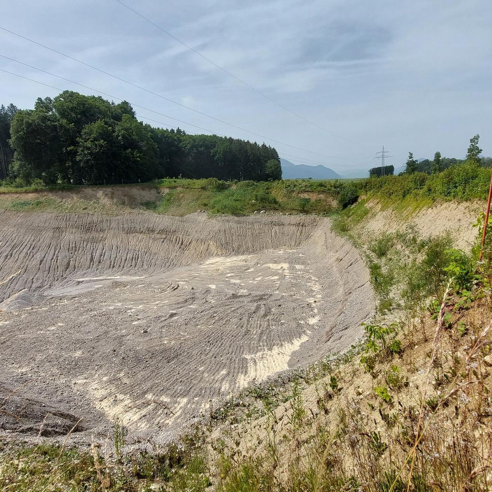
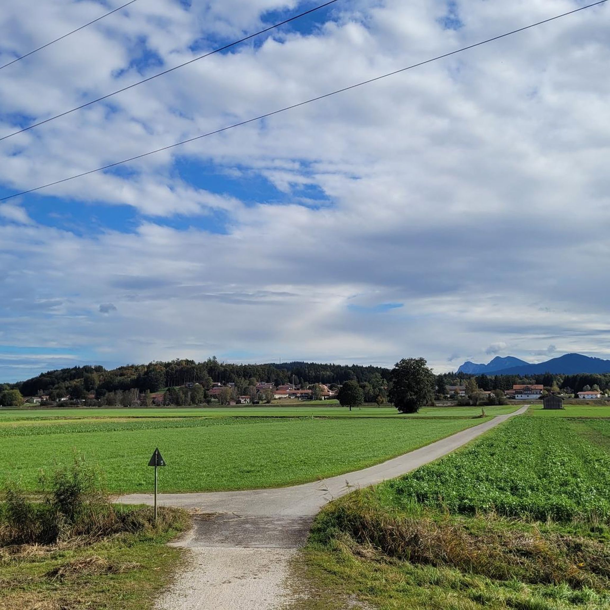

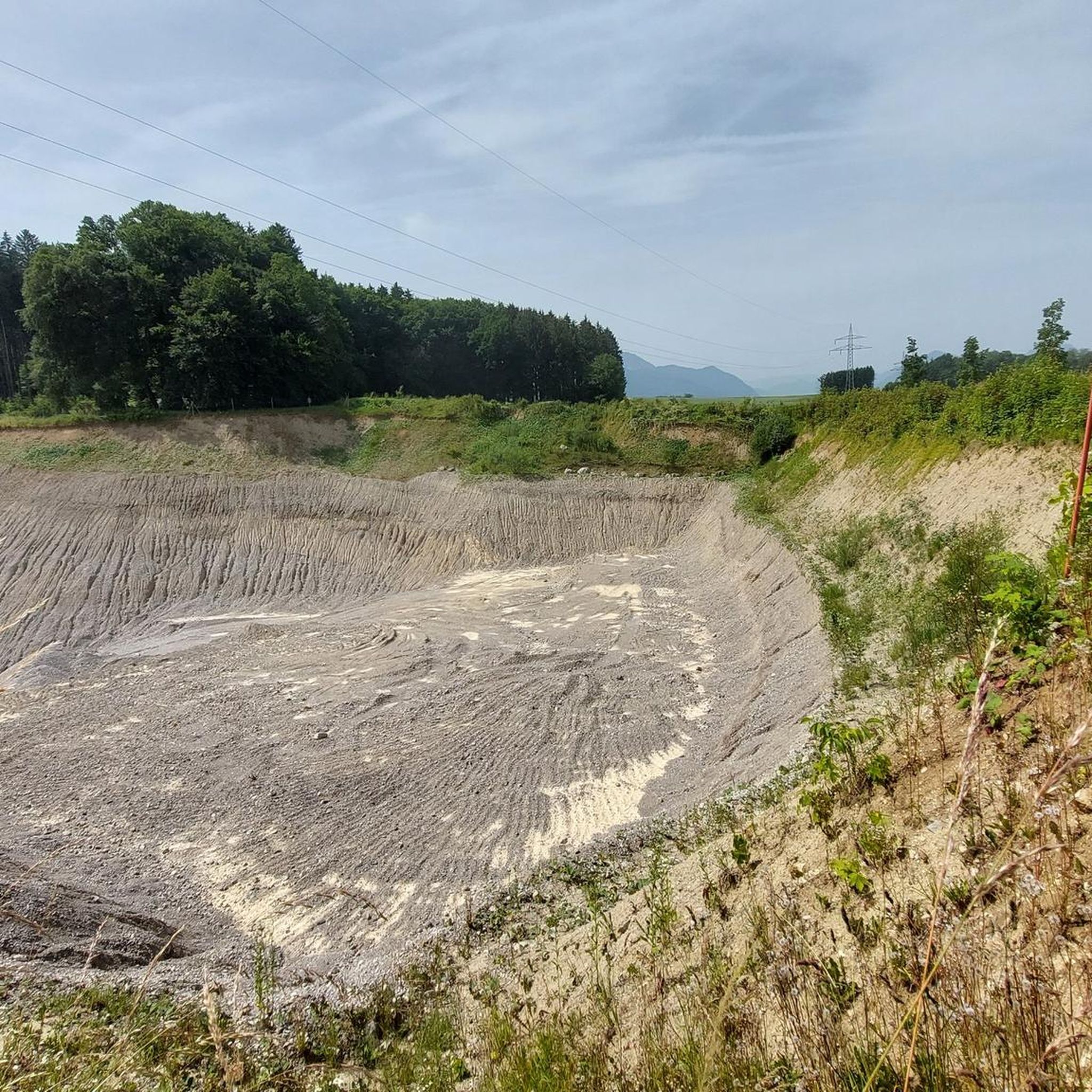
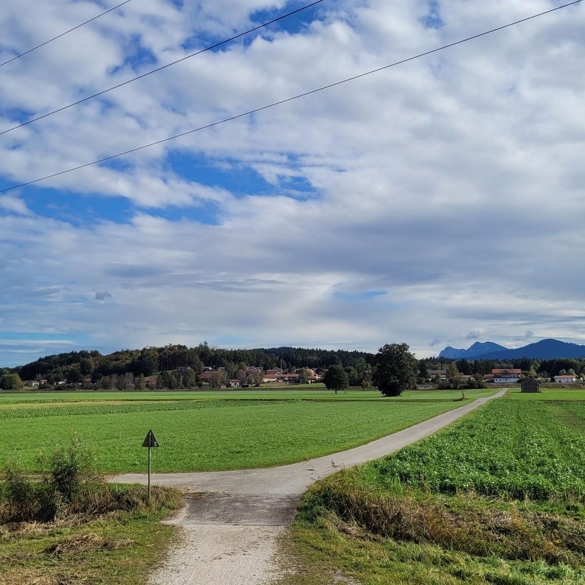
Tips from the Community


Simply beautiful. A must-see if you're in the area.
0
0

Great starting or ending point for beautiful hikes on the Hochfelln. The Vrestdurantban at the middle station is also highly recommended.
0
0


A good opportunity to take a rest on the descent
8
0
With an interesting history After the summit cross was erected, the construction of a chapel was suggested.
8
0
A great panoramic view from the summit
7
1

Very good on hot days because about 2/3 of the route is in the shade.
0
0
Frequently Asked Questions
How many mountaineering routes are available around Grabenstätt?
The Grabenstätt region offers a wide selection of mountaineering routes, with over 100 options available. These range from moderate ascents to more challenging summit routes, catering to various skill levels.
Are there any easy mountaineering routes for beginners in Grabenstätt?
While many routes in Grabenstätt are considered moderate to difficult, there is at least one easy mountaineering route available. For those new to mountaineering, it's advisable to start with routes that have less elevation gain and shorter distances, ensuring a safe and enjoyable experience.
What are some challenging mountaineering routes near Grabenstätt?
For experienced mountaineers seeking a challenge, the region offers several demanding routes. The Hochgern Summit – View from Hochfelln Summit loop from Hochfelln is a difficult 8.9-mile (14.4 km) path with significant elevation gain. Another challenging option is the View from Hochfelln Summit – Hochgern Summit loop from Bergen, a 13.1-mile (21.1 km) trail through the Chiemgau Alps, often taking around 8 hours to complete. These routes require good fitness, sure-footedness, and alpine experience.
Are there circular mountaineering routes in the Grabenstätt area?
Yes, several circular mountaineering routes are available. A popular option is the Bründling Alpine Hut – View of Chiemsee loop from Bergen, which is a 5.6-mile (9.1 km) trail offering expansive views of Lake Chiemsee. Another is the View from Hochfelln Summit – Hochgern Summit loop from Staudach-Egerndach, a challenging 15.9-mile (25.6 km) loop.
Can I find routes with waterfalls around Grabenstätt?
Yes, you can explore routes that feature natural waterfalls. The Waterfall With Natural Pool – Birkenmoosgraben Waterfall loop from Hochfelln is a notable mountaineering route that includes a waterfall with a natural pool, offering a refreshing highlight during your tour.
What are the best times of year for mountaineering in Grabenstätt?
The best time for alpine mountaineering in the Chiemgau Alps, including Grabenstätt, is typically from late spring through early autumn (May to October). During these months, the weather is generally more stable, and trails are free of snow, making for safer and more enjoyable conditions. Winter mountaineering is possible but requires specialized equipment and experience due to snow, ice, and potential avalanche dangers.
What scenic viewpoints can I expect on mountaineering routes in Grabenstätt?
Mountaineering routes around Grabenstätt offer breathtaking panoramic views, especially over Lake Chiemsee and the surrounding Chiemgau Alps. Highlights include views of Kampenwand and the lookout point on the Hochgern. You can also find specific viewpoints like View of Fraueninsel from Gstadt Harbor and View of Kampenwand.
Are there any interesting landmarks or attractions near the mountaineering routes?
Beyond the stunning natural scenery, the region offers several points of interest. You can find highlights such as the Bathhouse at Lake Chiemsee for relaxation after a tour, or enjoy views of the famous Fraueninsel. The Grabenstätter Moos nature reserve also provides a unique ecological landscape.
What do other mountaineers say about the routes in Grabenstätt?
The mountaineering routes around Grabenstätt are highly regarded by the komoot community, with an average rating of 4.8 stars from over 500 reviews. Mountaineers often praise the diverse terrain, the stunning panoramic views over Lake Chiemsee, and the well-maintained paths through the Chiemgau Alps.
Are there specific climbing areas for sport climbing in the region?
Yes, the Achental is recognized as one of Upper Bavaria's most popular climbing areas. The Zellerwand rock climbing area, in particular, boasts over 220 routes of varying difficulty (4c to 8a) on its 80-meter-high rock face, suitable for both beginners and experienced sport climbers. There are also practice faces for children and beginners at the Zellersee campsite.
Most popular routes around Grabenstätt
Most popular attractions around Grabenstätt

Get inspired with the komoot mobile app


Explore more
Browse the best Mountain Hikes & Routes in other regions.
