The best road cycling routes around Strangford Lower
145
riders
31
rides
Road cycling around Strangford Lower features a landscape shaped by Strangford Lough, the largest sea lough in the British Isles, characterized by "drowned drumlin" hills that create a varied, rolling terrain. The region offers tranquil countryside, quiet country roads, and coastal scenery along the lough and Irish Sea. Cyclists encounter a mix of flat stretches and gentle undulations, with views extending to the distant Mourne Mountains. This area provides diverse routes across its unique geological formations and farmland.
Best road…
Last updated: May 17, 2026
8
riders
39.3km
01:35
180m
180m
Easy road ride. Great for any fitness level. Mostly well-paved surfaces and easy to ride.
9
riders
23.5km
00:56
120m
120m
Easy road ride. Great for any fitness level. Mostly well-paved surfaces and easy to ride.

Sign up for free
5
riders
Easy road ride. Great for any fitness level. Mostly well-paved surfaces and easy to ride.
7
riders
58.1km
02:35
240m
240m
Moderate road ride. Good fitness required. Mostly well-paved surfaces and easy to ride.
6
riders
25.7km
01:04
180m
180m
Easy road ride. Great for any fitness level. Mostly well-paved surfaces and easy to ride.
Get access to more routes and recommendations from other explorers.
Sign up for free
Already have an account?
Our route recommendations are based on thousands of hikes, rides, and runs completed by other people on komoot.
Start today with a free account
Your next adventure awaits.
Login or Signup
Popular around Strangford Lower
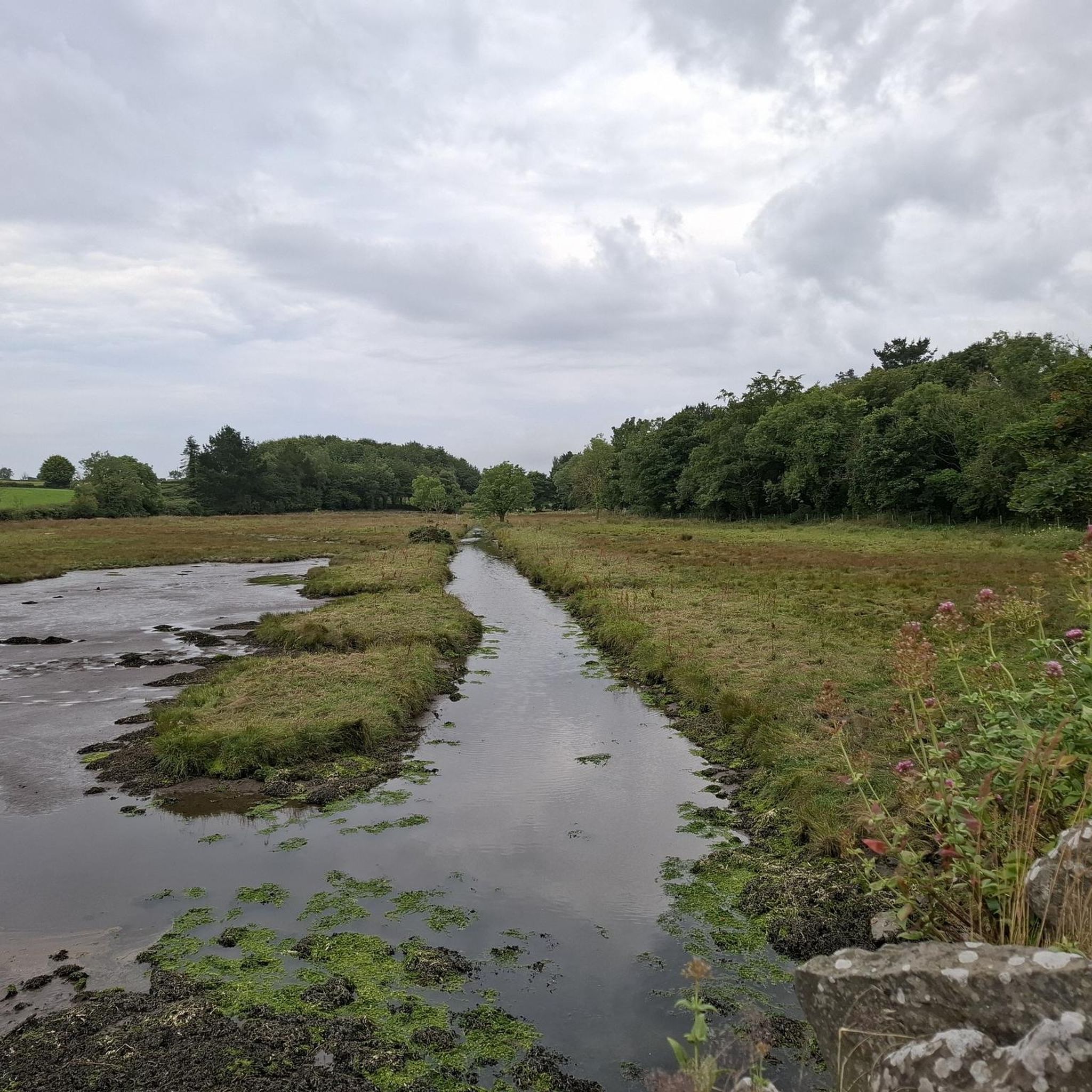
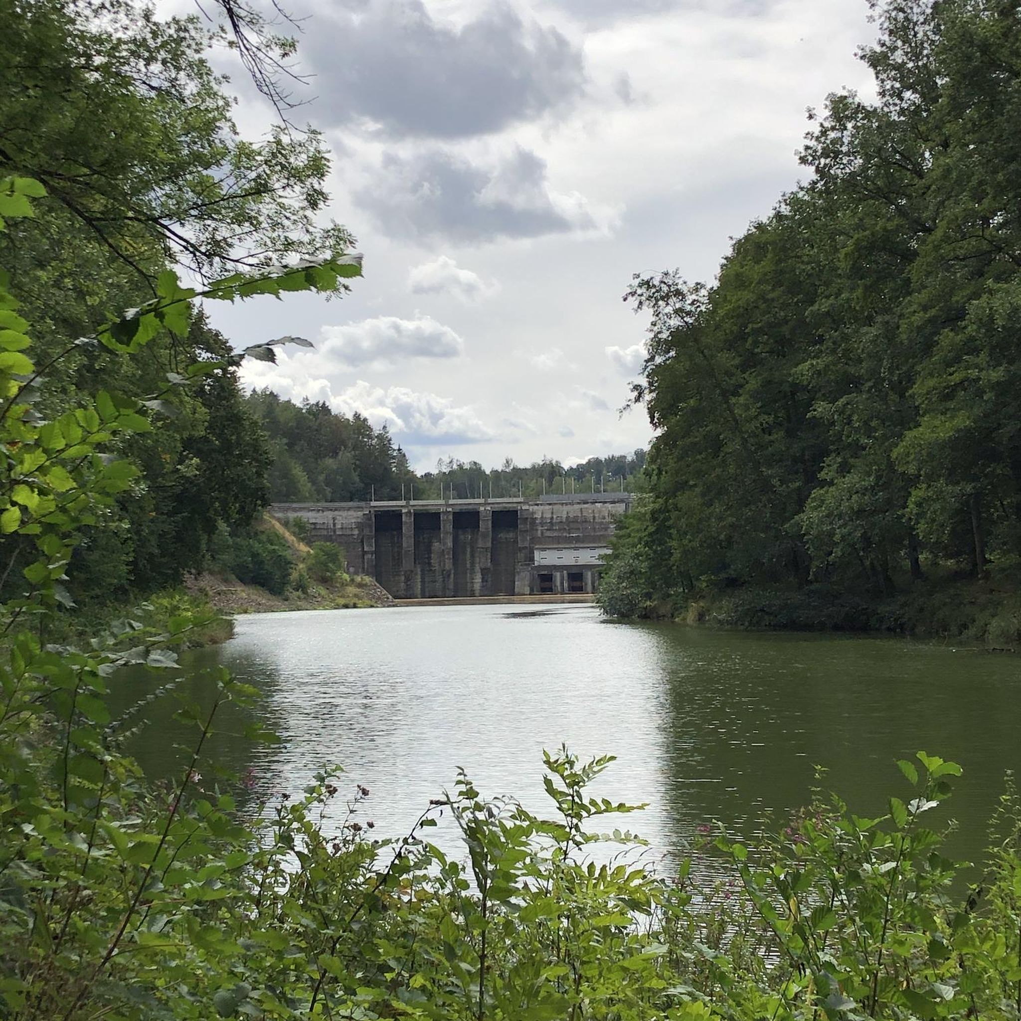
Tips from the Community

Burr Point marks the most easterly point on the island of Ireland. The spot is marked by a coastal sculpture by artist Ned Jackson Smyth. You can rest up in the sheltered cove which has a well-kept toilet and changing facilities close by.
1
0


Simple sandwiches, paninies and drinks. outdoor seating or in a covered space.
0
0

Visitors to Corrog Wood will be greeted by a curious wooden sculpture of a Dryad. The sculpture has been affectionately named the ‘Frump in the Stump’. A dryad is a tree nymph in Greek mythology. The Dryad keeps a watchful, protective eye on the new wood standing at the entrance. Continue past the Dryad on through the little kissing gate and a loop pathway will be waiting to lead you around the 14-acre wood, where a mix of approximately 12,000 native trees and 400 metres of hedging have been planted.
0
0
Ballyhornan is sandy beach surrounded by cliffs. Guns Island lies just in the bay. On the horizon it is possible to see the Isle of Man.
1
0
The Marina is a nature reserve of unparalleled beauty, it is a good starting point on which to explore the Lough.
0
0
Portaferry ( from Port an Pheire 'landing place of the ferry' ) is a small town in County down, at the southern end of the Ards Peninsula, near the Narrows at the entrance to Strangford Lough. It hosts its own small Marina, From where the The Ferry service operates daily at 30-minute intervals (7.45 am to 10.45 pm) between the villages of Portaferry and Strangford. The Lough being one of the world's most important marine sites with over 2,000 marine species. There are fine Georgian buildings in the town square, including a Market House, now used as a community centre. Portaferry Castle, a 16th-century townhouse ruin, sits atop a slope overlooking the Harbour.
0
0
Your as far east as it gets. chapeau ! rest up in the sheltered cove. Burr Point is the most easterly point on the mainland of the island of Ireland. The point is marked by a sculpture by artist Ned Jackson Smyth. Just offshore is the intriguingly named Burial Island. Local stories say the name comes from a Danish burial reputed to have taken place on the island. The name might also derive from the Irish for cormorant, na broighill, or from the pronunciation of “Burr Isle”. well kept and fully enclosed toilet & changing facilities.
1
1
Frequently Asked Questions
How many road cycling routes are available in Strangford Lower?
There are over 35 road cycling routes around Strangford Lower, catering to various skill levels. You'll find 12 easy routes, 15 moderate routes, and 8 more challenging options to explore the region's unique landscape.
What kind of terrain can I expect on road cycling routes around Strangford Lower?
The terrain around Strangford Lower is characterized by 'drowned drumlin' hills, creating a varied, rolling landscape. Cyclists will encounter a mix of flat stretches and gentle undulations, with quiet country roads, rolling farmland, and stunning coastal scenery along Strangford Lough and the Irish Sea.
Are there any family-friendly road cycling routes in Strangford Lower?
Yes, the region offers routes suitable for families. While specific family-friendly road cycling routes are not detailed in the provided data, the presence of many easy-grade routes, such as the Ballyhornan Beach – Killough–Strangford Loop loop from Ballymurry, suggests options for less experienced riders. Additionally, the Castle Ward Estate offers multi-use trails suitable for all types of bikes, which can be a great family option.
What are some scenic viewpoints or attractions I can see along the road cycling routes?
Road cycling routes around Strangford Lower offer numerous scenic viewpoints and attractions. You can enjoy views of the lough, the Irish Sea coast, and the distant Mourne Mountains. Notable attractions include Delamont Country Park, Castle Ward Tower (a Winterfell filming location), and View of Castle Ward and Strangford & Lecale AONB. Other points of interest include Inch Abbey, Scrabo Tower, and the Nendrum Monastic Site.
Are there any challenging road cycling routes for experienced riders?
Yes, for more experienced cyclists, there are 8 difficult-grade routes available in Strangford Lower. The region's varied terrain, including the Ards Peninsula, offers testing climbs and panoramic views, providing a good challenge.
What is the best time of year to go road cycling in Strangford Lower?
Strangford Lower benefits from a microclimate that often maintains stable riding conditions throughout much of the year. Spring brings lush hedges and new growth, while autumn showcases vibrant woodland colors. The lough is also a haven for wildlife, with seals and various bird species, making any season a good time for nature observation while cycling.
Are there circular road cycling routes available?
Yes, many of the road cycling routes in Strangford Lower are designed as loops. For example, the View of Portaferry Harbor – Corrog Wood loop from Strangford and the Picnic Café – Café Vélo, Killyleagh loop from Killyleagh are excellent circular options that allow you to start and end in the same location.
Where can I find parking for road cycling routes in Strangford Lower?
Parking is available at various points around Strangford Lough. For instance, Castle Ward Shore Car Park is a known parking location, especially if you plan to explore the Castle Ward Estate or routes nearby. Many villages and towns around the lough also offer parking facilities.
What amenities like cafes or pubs are available along the routes?
The villages and towns dotted around Strangford Lough offer various amenities. Killyleagh, for example, is home to places like Picnic Café and Café Vélo, as highlighted in the Picnic Café – Café Vélo, Killyleagh loop from Killyleagh route. Portaferry also has a waterfront with amenities, and other villages like Strangford and Whiterock provide options for refreshments and meals.
Can I access road cycling routes in Strangford Lower using public transport?
While specific public transport options for bikes are not detailed, the region is accessible. Many routes start from towns and villages that may have bus services. It's advisable to check local public transport schedules and policies regarding bicycle carriage before planning your trip.
What makes road cycling in Strangford Lower unique?
Road cycling in Strangford Lower is unique due to its 'drowned drumlin' landscape, which creates a picturesque and varied rolling terrain around the largest sea lough in the British Isles. The combination of tranquil countryside, quiet roads, and coastal views, alongside a rich array of wildlife and historic sites like Nendrum Monastic Site, offers a distinct and memorable cycling experience.
Are there any long-distance road cycling routes in the area?
Yes, the region is home to the extensive 82-mile Strangford Lough Cycle Route, a circular loop that can be tackled in sections or as a longer tour. This route takes riders through tranquil countryside and past ancient monuments, offering a significant long-distance option.
Most popular routes around Strangford Lower
Most popular attractions around Strangford Lower

Get inspired with the komoot mobile app


Explore more
Browse the best Road cycling routes in other regions.
