The best walks and hikes around Flüelen
4.6
(5744)
41,680
hikers
559
hikes
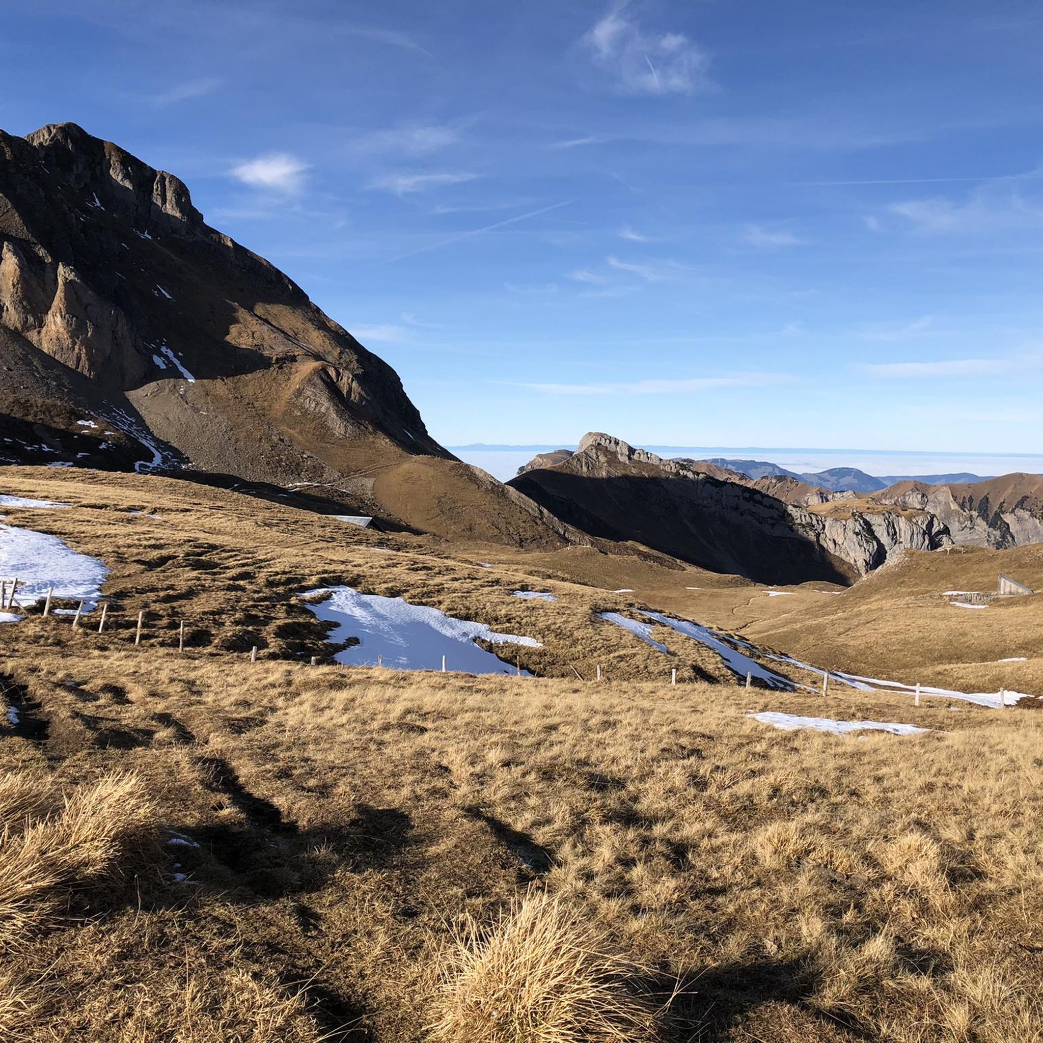
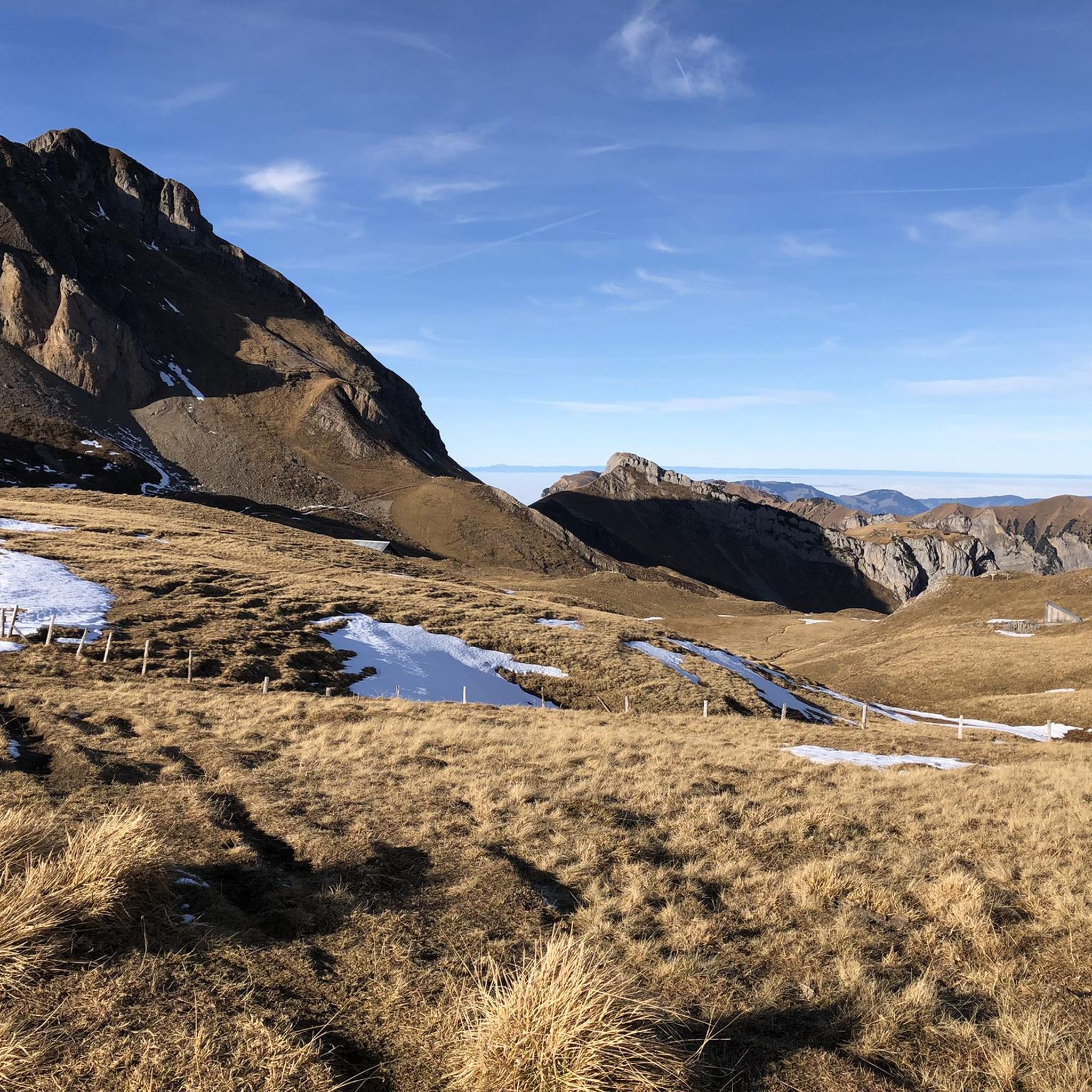
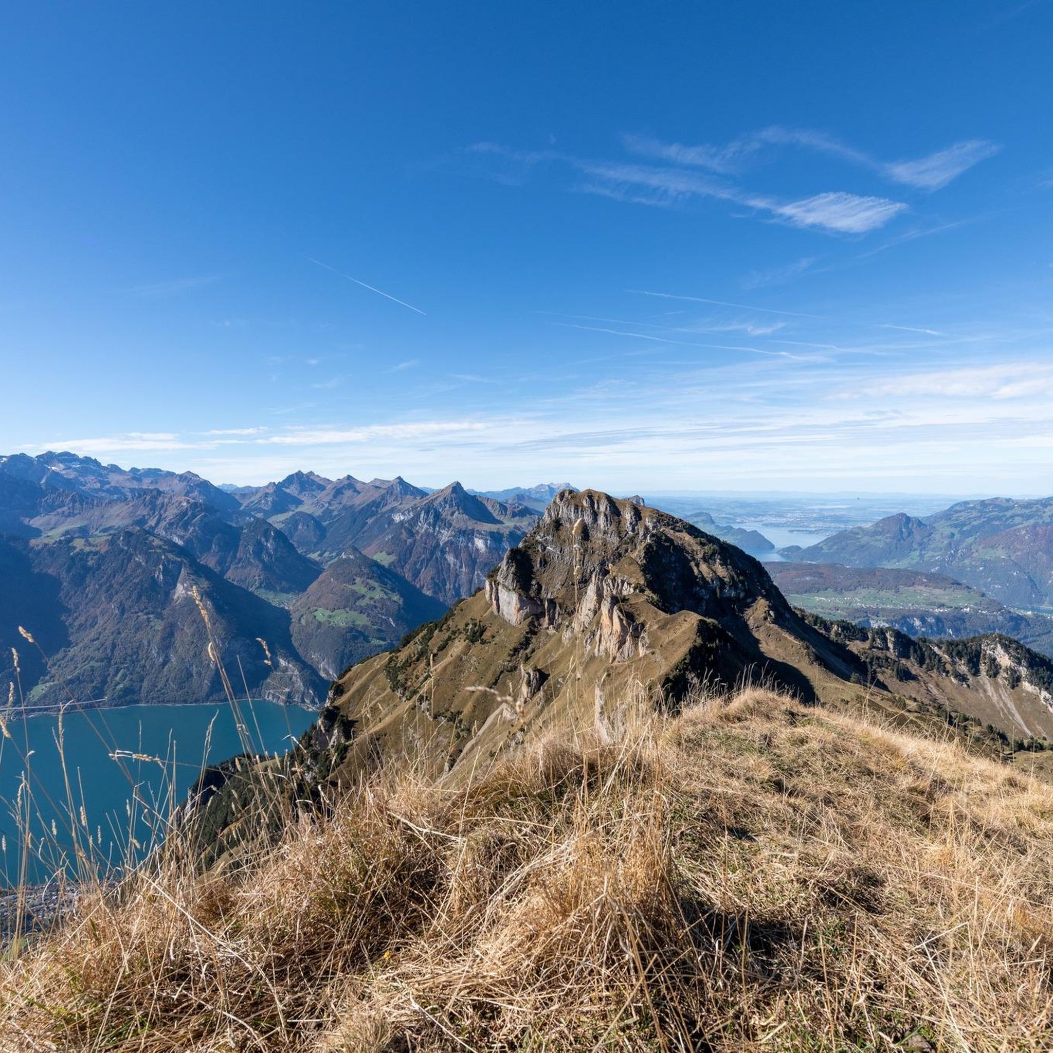
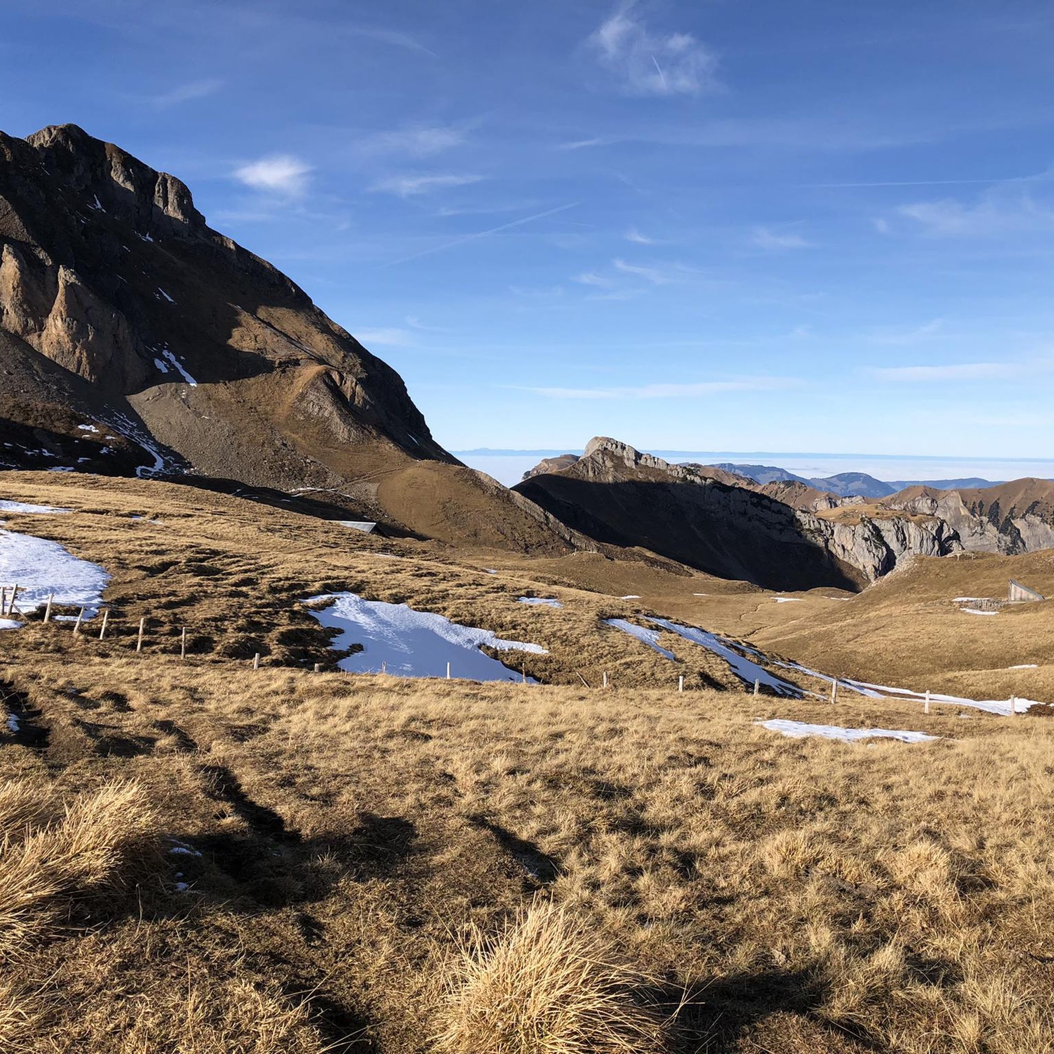
Hiking around Flüelen offers diverse landscapes at the southern end of Urnersee, a fjord-like arm of Lake Lucerne. The region features a unique Reuss Delta with moorland and reed beds, contrasting with the surrounding Alpine foothills. Forests cover a significant portion of the land, ascending to dramatic mountain scenery. Elevated areas like Eggberge provide panoramic views of the lake and mountains.
Best hiking trails around Flüelen
- The most popular hiking route is Tell Chapel – Thurgau Square loop from Flüelen, a 7.1 miles (11.4 km) trail that takes 3 hours 15 minutes to complete, following the scenic lakeside.
- Another top favourite among local hikers is Lidernen Hut (SAC) – Spilauersee loop from Ruogig, a difficult 8.5 miles (13.7 km) path. This route offers high-altitude terrain with expansive mountain views.
- Local hikers also love the Eggberge – Hüenderegg loop from Flüelen, a 4.9 miles (7.9 km) trail leading through the Eggberge region, often completed in about 2 hours 40 minutes.
- Hiking around Flüelen is defined by lakeside paths along the Urnersee, trails through the Reuss Delta, and routes ascending into the Alpine foothills. The network offers options for various ability levels, from easy walks to challenging mountain ascents.
- The routes in Flüelen are highly rated by the komoot community with an average score of 4.6 stars from over 4000 reviews. More than 36000 hikers have used komoot to explore Flüelen's varied terrain.
Last updated: October 1, 2026
4.7
(27)
234
hikers
13.7km
05:47
790m
790m
Hard hike. Very good fitness required. Sure-footedness, sturdy shoes and alpine experience required.
4.6
(37)
250
hikers
7.75km
02:37
400m
400m
Moderate hike. Good fitness required. Easily-accessible paths. Suitable for all skill levels.

4.6
(101)
589
hikers
11.5km
03:17
250m
250m
Moderate hike. Good fitness required. Easily-accessible paths. Suitable for all skill levels.
4.8
(27)
143
hikers
15.4km
07:06
920m
920m
Hard hike. Very good fitness required. Sure-footedness, sturdy shoes and alpine experience required.
4.6
(42)
277
hikers
9.35km
02:41
220m
220m
Moderate hike. Good fitness required. Easily-accessible paths. Suitable for all skill levels.
Get access to more routes and recommendations from other explorers.
Already have an account?
Our route recommendations are based on thousands of hikes, rides, and runs completed by other people on komoot.
Start today with a free account
Your next adventure awaits.

Tips from the Community

Very beautiful lake in a very quiet environment.
0
0

You can stock up well for the upcoming kilometers.
0
0
The view was exceptional throughout the entire tour.
0
0

Pretty here, very pretty.
0
0

More information at the following link: https://lidernen.ch/
2
0
Frequently Asked Questions
How many hiking trails are available around Flüelen?
Flüelen offers a wide variety of hiking experiences, with over 570 routes available. These range from easy lakeside strolls to challenging mountain ascents, catering to all skill levels.
Are there easy hiking trails suitable for beginners in Flüelen?
Yes, Flüelen has over 210 easy hiking routes. Many pleasant lakeside paths along the Urnersee, such as sections of the 'Urnersee-Uferweg', are ideal for less strenuous walks and offer beautiful views without significant elevation gain.
What kind of terrain can I expect on hikes around Flüelen?
The terrain around Flüelen is incredibly diverse. You'll find flat paths through the unique Reuss Delta with its moorland and reed beds, scenic lakeside trails along the Urnersee, and routes ascending into the Alpine foothills with lush forests and dramatic mountain scenery. Elevated areas like Eggberge offer high-altitude experiences.
Are there any circular walks in Flüelen?
Yes, many routes around Flüelen are designed as circular walks. For example, the Eggberge – Hüenderegg loop from Flüelen is a moderate 4.9-mile trail that takes you through the scenic Eggberge region and back.
Can I access hiking trails in Flüelen using public transport?
Flüelen is well-connected by public transport. The village itself is a hub, and cableways provide access to higher-altitude starting points like Eggberge, Oberaxen, and Untersaxen, making many trails easily reachable without a car.
Where can I park when hiking in Flüelen?
Parking is generally available in Flüelen village, especially near the cableway stations for access to areas like Eggberge. Specific parking information for individual trailheads can often be found on komoot tour pages.
Are there family-friendly hiking options in Flüelen?
Absolutely. The region offers several family-friendly trails. The Tell Chapel – Thurgau Square loop from Flüelen, for instance, is a moderate 7.1-mile trail along the scenic lakeside, passing historical sites like the Tellskapelle, which can be enjoyable for families.
What interesting natural attractions or landmarks can I see while hiking?
Hiking around Flüelen offers views of the stunning Urnersee (Lake Uri) and the unique Reuss Delta. You can also discover beautiful waterfalls like the Risleten Waterfall or the Firnbach Waterfall. The historical 'Weg der Schweiz' also passes through, leading past the significant Tellskapelle.
What do other hikers enjoy most about the trails in Flüelen?
The hiking trails in Flüelen are highly rated by the komoot community, with an average score of 4.6 stars from over 4000 reviews. Hikers often praise the diverse landscapes, from the tranquil lakeside paths to the panoramic mountain views, and the well-maintained routes.
Are there any challenging high-altitude hikes in the Flüelen area?
Yes, for experienced hikers seeking a challenge, Flüelen provides access to high-altitude trails. The Lidernen Hut (SAC) – Spilauersee loop from Ruogig is a difficult 8.5-mile path offering expansive mountain views and significant elevation gain.
Can I hike in Flüelen during winter?
While many high-altitude trails may be inaccessible due to snow, Flüelen does offer winter hiking opportunities. The Eggberge region, accessible by cableway, transforms into a family-friendly ski resort in winter and also provides marked winter walking paths. Lower-lying lakeside paths may also be accessible, depending on snow conditions.
Are there places to eat or drink near the hiking trails?
Flüelen village itself has cafes and restaurants. Additionally, some mountain huts or guesthouses might be found along popular routes, especially in areas like Eggberge, offering refreshments and meals. It's always advisable to check opening times in advance.
What is the best time of year to go hiking in Flüelen?
The best time for hiking in Flüelen is typically from late spring to early autumn (May to October). During these months, the weather is generally mild, trails are clear of snow, and the natural scenery, from lush green hills to blooming wildflowers, is at its most vibrant. High-altitude trails are best enjoyed in mid-summer.
Most popular attractions around Flüelen

Get inspired with the komoot mobile app


Explore more
Browse the best Hikes in other regions.
