The best walks and hikes around Glasdrumman Upper
4.6
(1332)
11,138
hikers
205
hikes
Hikes around Glasdrumman Upper provide access to the eastern Mourne Mountains, an Area of Outstanding Natural Beauty in County Down. The region is characterized by a granite mountain range with notable peaks, rugged cliffs, and rolling green hills. The landscape offers a variety of trails, from challenging mountain ascents to more moderate routes through woodland and past loughs.
Best hiking trails around Glasdrumman Upper
- The most popular hiking route is View of the Mourne Mountains – Slieve Binnian summit loop from Moneydorragh More Upper, a 7.2 mile (11.5 km) trail that takes about 4 hours to complete. This moderate route features a significant ascent to the summit of Slieve Binnian.
- Another top favourite among local hiking enthusiasts is Blue Lough from Carrick Little — Mourne, a moderate 5.0 mile (8.1 km) path. The trail follows a well-defined track from the Carrick Little car park towards the lough.
- Local hiking enthusiasts also love the Rocky Mountain & Annalong Wood loop — Mourne, a 5.5 mile (8.9 km) trail leading through Annalong Wood, often completed in about 2 hours 50 minutes.
- Hiking around Glasdrumman Upper is defined by granite peaks, mountain loughs, and forest paths. The network of trails provides options for various fitness levels, from accessible woodland walks to strenuous mountain circuits.
- The routes in Glasdrumman Upper are highly rated by the komoot community with an average score of 4.6 stars from over 1,100 reviews. More than 10,000 hikers have used komoot to explore Glasdrumman Upper's varied terrain.
Last updated: July 15, 2026
5.0
(23)
150
hikers
14.9km
04:56
600m
600m
Embark on a difficult hike along The Devil's Coach Road via Cove Mountain, a challenging route spanning 9.3 miles (14.9 km) with an elevation gain of 1976 feet (602 metres), typically taking 4 hours and 56 minutes to complete. This trail leads you through rugged terrain, including a deep, steep gully of loose scree on the granite flanks of Slieve Beg, where footing can be unstable. As you ascend, you will encounter rocky paths and areas covered in heather, offering varied scenery. From Cove Mountain, enjoy panoramic views of the central Mournes, including the Ben Crom Reservoir and distant peaks like Slieve Donard. The route also traverses tranquil valleys with gravel and grassy paths, occasionally crossing small streams, providing a diverse hiking experience.
This is a demanding hike requiring good fitness and sure-footedness, so come prepared with sturdy shoes. The ascent through the loose scree gully of the Devil's Coach Road is particularly challenging and steep, sometimes appearing almost vertical. If you have a fear of heights, this route may not be suitable for you. It is also not recommended for dogs due to the steepness and potential for paw injury. Some sections may involve technical or hazardous terrain, so prior experience and potentially specialist equipment are advisable.
The Devil's Coach Road is steeped in local folklore, with tales suggesting the Devil himself used this path to
4.9
(16)
176
hikers
8.06km
02:17
180m
180m
Embark on a moderate hiking adventure to Blue Lough from Carrick Little, a route that spans 5.0 miles (8.1 km) and involves a total elevation gain of 599 feet (183 metres). You can expect to complete this journey in approximately 2 hours and 17 minutes. As you hike, you will traverse open heathland, enjoying expansive views of the Mourne Mountains, including the striking peaks of Slieve Lamagan and Slieve Binnian. The trail culminates at the tranquil Blue Lough, offering a peaceful spot to pause and appreciate the wilderness.
To begin your hike, head to the Carrick Little car park, which provides convenient access to the starting point of the route. While the path is generally well-defined, be aware that certain sections, particularly those near Annalong Wood, can become boggy. For this reason, wearing sturdy boots is highly recommended, especially if you plan your visit after periods of rain. Planning ahead ensures a more comfortable and enjoyable experience on the trail.
This route offers a unique opportunity to experience the rugged beauty of the Mourne Mountains. Along your journey, you will encounter the historic Mourne Wall, a significant landmark that winds its way across the landscape. The serene Blue Lough itself provides a sense of remote wilderness, making it an ideal destination if you are seeking a quiet escape into nature. It is a rewarding hike for anyone looking to explore the natural heritage of the region.

Sign up for free
4.7
(7)
32
hikers
19.4km
07:19
1,300m
1,300m
This difficult 12.0-mile (19.4 km) loop through the Mourne Mountains takes you over Slieve Binnian, Slieve Lamagan, and Slieve Donard, requiring about 7 hours and 18 minutes to complete. You will gain 4249 feet (1295 metres) in elevation, traversing diverse and demanding terrain. Expect to scramble over granite boulders on Slieve Binnian, known for its distinctive rocky tors like the Back Castles. The route offers panoramic views, including vistas down to the Silent Valley Reservoir and across the Irish Sea from Slieve Donard's summit. You will encounter heather, granite outcrops, and the historic Mourne Wall guiding your way.
This challenging loop demands a very good level of fitness and experience. You should be prepared for sustained steep climbs and descents, along with rough and uneven terrain. Given the potential for challenging weather conditions, sturdy footwear and appropriate outdoor clothing are essential. Make sure you have strong navigation skills, as paths on Slieve Lamagan can become indistinct. Carry sufficient supplies for the 7-hour and 18-minute duration.
This loop is notable for combining three iconic Mourne peaks, including Slieve Donard, Northern Ireland's highest mountain, and Slieve Binnian, which offers some of the best views in the region. The historic Mourne Wall, a 31-kilometer dry-stone wall built over nearly 20 years, serves as a significant landmark and navigational aid across parts of the trail. You will experience diverse landscapes, from rocky tors and granite outcrops to views of loughs and reservoirs. Completing this physically demanding route offers immense satisfaction and a true sense of accomplishment.
4.5
(2)
8
hikers
8.93km
02:49
360m
360m
Moderate hike. Good fitness required. Easily-accessible paths. Suitable for all skill levels.
4.7
(131)
824
hikers
Moderate hike. Good fitness required. Easily-accessible paths. Suitable for all skill levels.
Get access to more routes and recommendations from other explorers.
Sign up for free
Already have an account?
Our route recommendations are based on thousands of hikes, rides, and runs completed by other people on komoot.
Start today with a free account
Your next adventure awaits.
Login or Signup
Tips from the Community

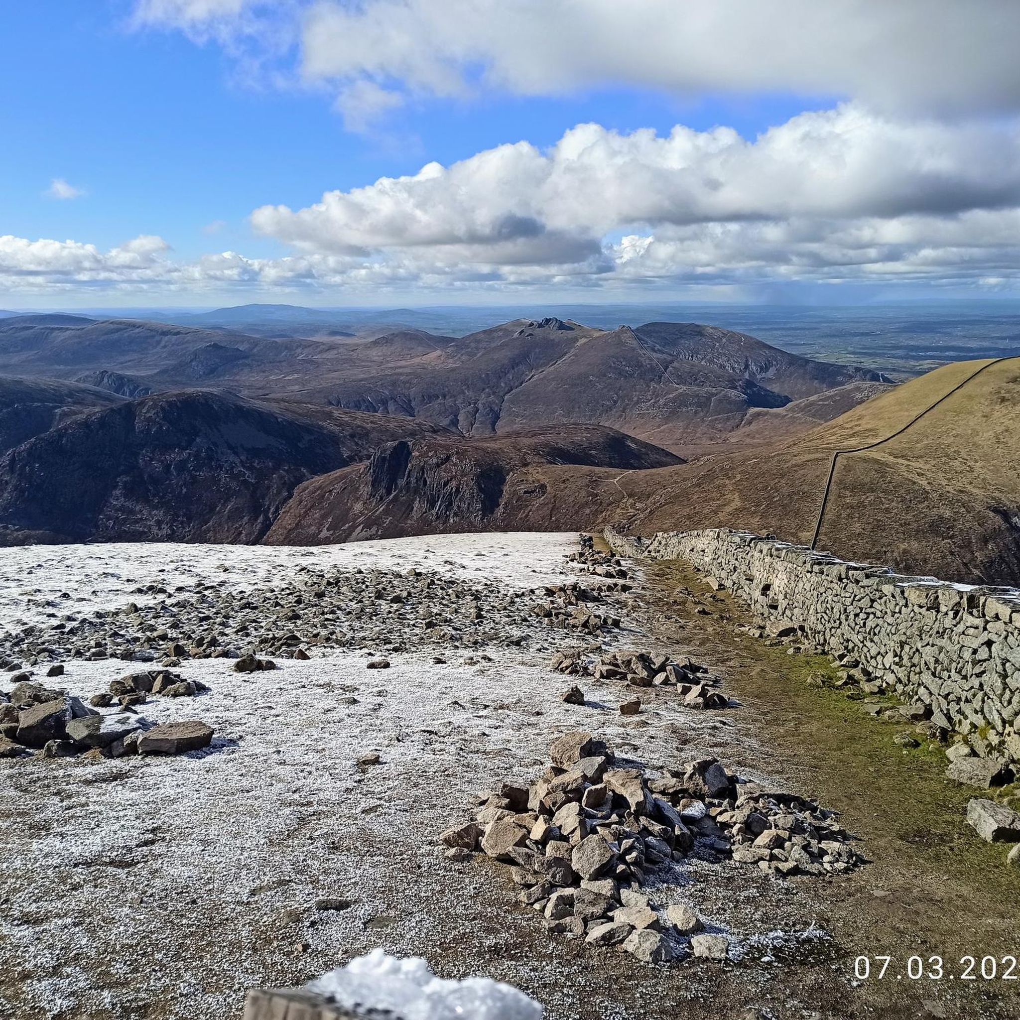
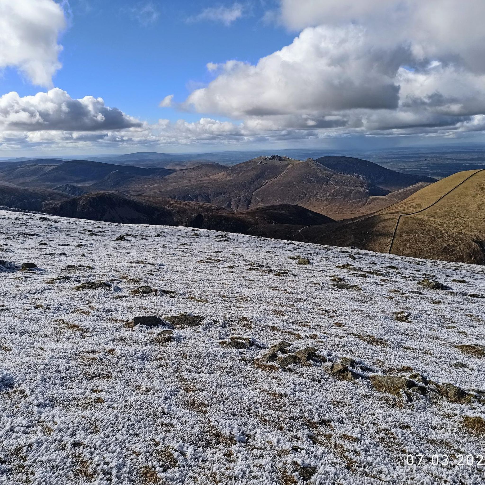
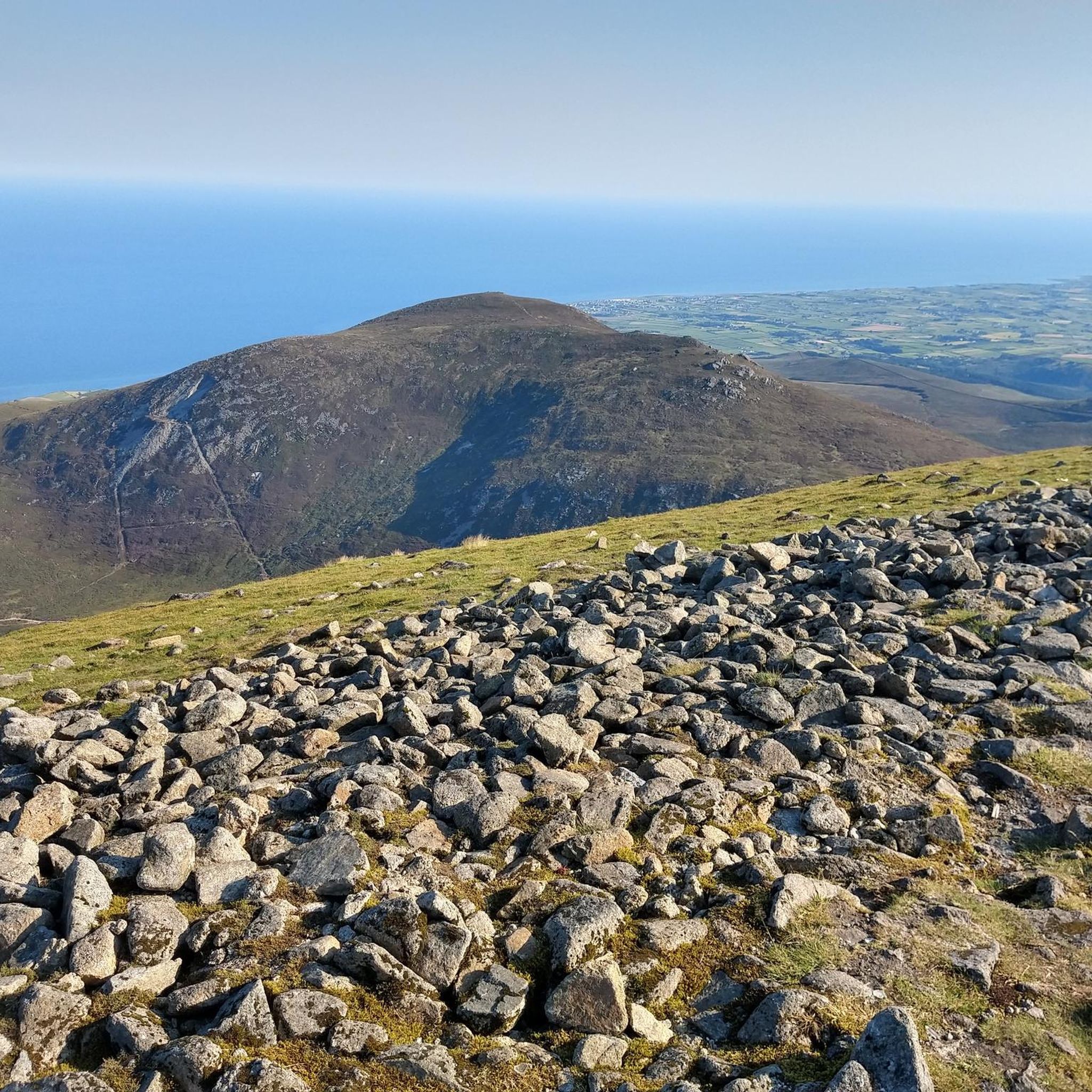
Slieve Binnian is absolute magic. Standing as the third-highest peak in Northern Ireland (747 meters), it easily claims the title for the most dramatic silhouette in the Mournes, thanks to the massive, weathered granite towers—called tors—that guard its summit. https://www.expresstollpass.com
0
0

Annalong Wood offers a serene and immersive experience in the heart of the Mourne Mountains. This tranquil woodland, nestled near the Annalong River, provides a refreshing escape into nature. The path meanders through lush greenery, with the gentle sounds of the river accompanying your journey.
1
0
Starting from Carrick Little Car Park, the hiking path to Slieve Binnian offers a rewarding journey through the heart of the Mourne Mountains. This moderate to challenging loop, approximately 11.2 km in length, follows the Mourne Wall, a historic dry-stone structure built in the early 1900s, guiding hikers toward the summit of Slieve Binnian (747 m). The ascent is steady, with a mix of rocky terrain and scenic views. As you approach the summit, the path becomes more rugged, leading to the iconic South and North Tors. From the summit, panoramic vistas unfold, offering breathtaking views of the Silent Valley and the surrounding peaks.
1
0

I was lucky to see them at their best today, beautiful 😍
0
0

Not recommended for taking the dog , way to steep and could cause injury to paw’s .
0
0

Frequently Asked Questions
How do I get to the trailheads around Glasdrumman Upper using public transport?
Several bus services operate in the Mourne Mountains area. Translink routes, such as the 9A and 9C, connect local towns like Kilkeel and Newcastle. For direct access to trailheads during peak season, look for services like the Mourne Rambler or the Mourne Shuttle Service, which are specifically designed for hikers. Always check the latest timetables before you travel.
Are there good options for parking near the main hiking trails?
Yes, there are several car parks that serve as popular starting points. The Carrick Little car park is a well-known spot for accessing trails to Blue Lough and Slieve Binnian. Other car parks are available near Annalong Wood and Silent Valley. Be aware that these can fill up quickly, especially on weekends and holidays, so an early start is recommended.
What are some good circular walks starting near Glasdrumman Upper?
The area is excellent for loop hikes. For a challenging day out with incredible views, the View of the Mourne Mountains – Slieve Binnian summit loop from Moneydorragh More Upper is a fantastic option. It covers varied terrain and rewards you with panoramic vistas from the summit.
Can I bring my dog on hikes in the Mourne Mountains?
Dogs are often welcome on trails in the Mournes, but there are important considerations. Much of the area is active farmland, so you will encounter livestock. Dogs must be kept on a lead and under close control at all times to ensure the safety of sheep and other animals. Also, be prepared to lift your dog over stiles, which are common on many routes.
Are there any easy, family-friendly walks in the area?
Absolutely. For a gentler experience suitable for families, the Rocky Mountain & Annalong Wood loop — Mourne is a great choice. It offers a pleasant walk through the forest without the strenuous climbs of the higher peaks. The nearby Glassdrummond Wood also has a short, accessible path.
What should I wear for a hike in the Mourne Mountains?
The weather in the Mournes can change very quickly, so layering is key. Always wear sturdy, waterproof hiking boots with good grip. Pack waterproof trousers and a jacket, even if the forecast is good. It's also wise to bring a hat, gloves, and an extra warm layer, as it can be significantly colder and windier on the summits.
How difficult are the hikes around Glasdrumman Upper?
There's a wide range of difficulties. You'll find over 200 trails, from easy woodland walks to demanding mountain climbs. For a serious challenge requiring good fitness and navigation skills, you could tackle the The Devil's Coach Road via Cove Mountain — Mourne. For something more manageable, there are over 100 moderate routes to choose from.
What do other hikers enjoy most about this region?
The hiking routes around Glasdrumman Upper are highly regarded by the komoot community, with an average rating of 4.6 stars. Hikers frequently praise the stunning, dramatic scenery, the mix of rugged peaks and serene loughs, and the quality of the paths. The sense of achievement after completing a challenging summit climb is a common highlight.
Are there any trails that start from the Carrick Little area?
Yes, the Carrick Little car park is the starting point for several popular hikes. One of the most scenic is the Blue Lough from Carrick Little — Mourne, a moderate walk that follows a clear track into the heart of the mountains, ending at a beautiful mountain lake.
What is the best time of year to hike in the Mournes?
You can hike in the Mournes year-round, but late spring, summer, and early autumn (May to September) generally offer the best conditions with longer daylight hours and warmer weather. However, the mountains have a unique beauty in all seasons. Winter hiking requires extra caution, experience, and equipment due to potentially icy conditions and shorter days.
Are there any particularly scenic viewpoints or natural features to look for?
The region is full of them. Hare's Gap is a classic mountain pass that offers fantastic views and is a popular destination for hikers. For a stunning panorama that includes the Silent Valley Reservoir, the summit of Doan is a highly-rated and relatively accessible objective. The Mourne Wall, a 22-mile dry-stone wall crossing fifteen summits, is another iconic feature you'll likely encounter.
Can I visit the Silent Valley Reservoir?
Yes, the Silent Valley and the nearby Ben Crom Reservoir are popular visitor spots. There are well-maintained walking trails around the reservoirs that offer incredible views of the water surrounded by mountains. It's a great option for a less strenuous day out while still being immersed in the Mourne landscape.
Most popular attractions around Glasdrumman Upper

Get inspired with the komoot mobile app


Explore more
Browse the best Hikes in other regions.
