The best running trails around Altusried
4.3
(118)
1,237
runners
119
runs
Jogging around Altusried offers diverse landscapes in the scenic Allgäu region of Bavaria. The area is characterized by the Iller River, which carves through gorges and provides picturesque routes along its banks. Situated in the pre-Alpine landscape, Altusried features a mix of flatter river paths and more challenging runs with elevation gains through forests and meadows. This varied terrain caters to a wide range of running preferences and fitness levels.
Best jogging routes around Altusried
- The most popular jogging route is View of the Illerschleife – Neu-Kalden Ruins loop from Altusried, a 11.4 miles (18.3 km) trail that takes 2 hours 5 minutes to complete. This challenging route offers views of the Iller River and passes by the Neu-Kalden Ruins.
- Another top favourite among local runners is View of the Iller River at Rotkreuz – Iller Gorge loop from Altusried, a difficult 15.7 miles (25.2 km) path. This route explores the Iller River at Rotkreuz and the Iller Gorge, providing varied riverine scenery.
- Local runners also love the Neu-Kalden Ruins loop from Altusried, a 4.8 miles (7.7 km) trail leading through forested areas and past historical ruins, often completed in about 51 minutes.
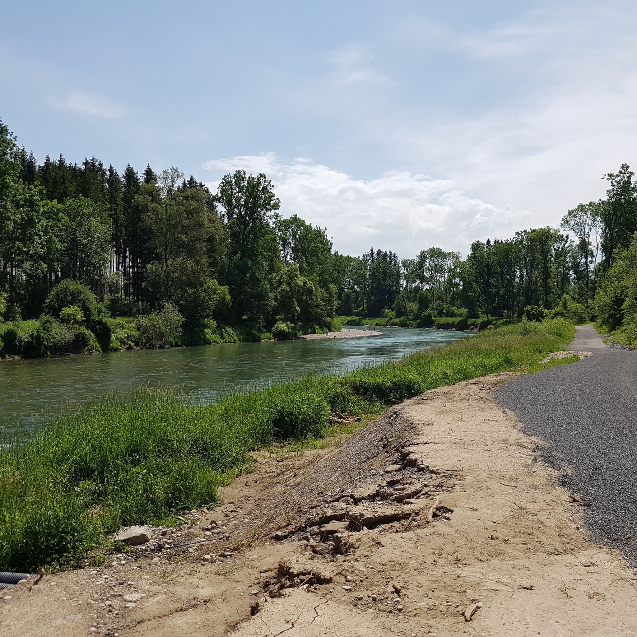
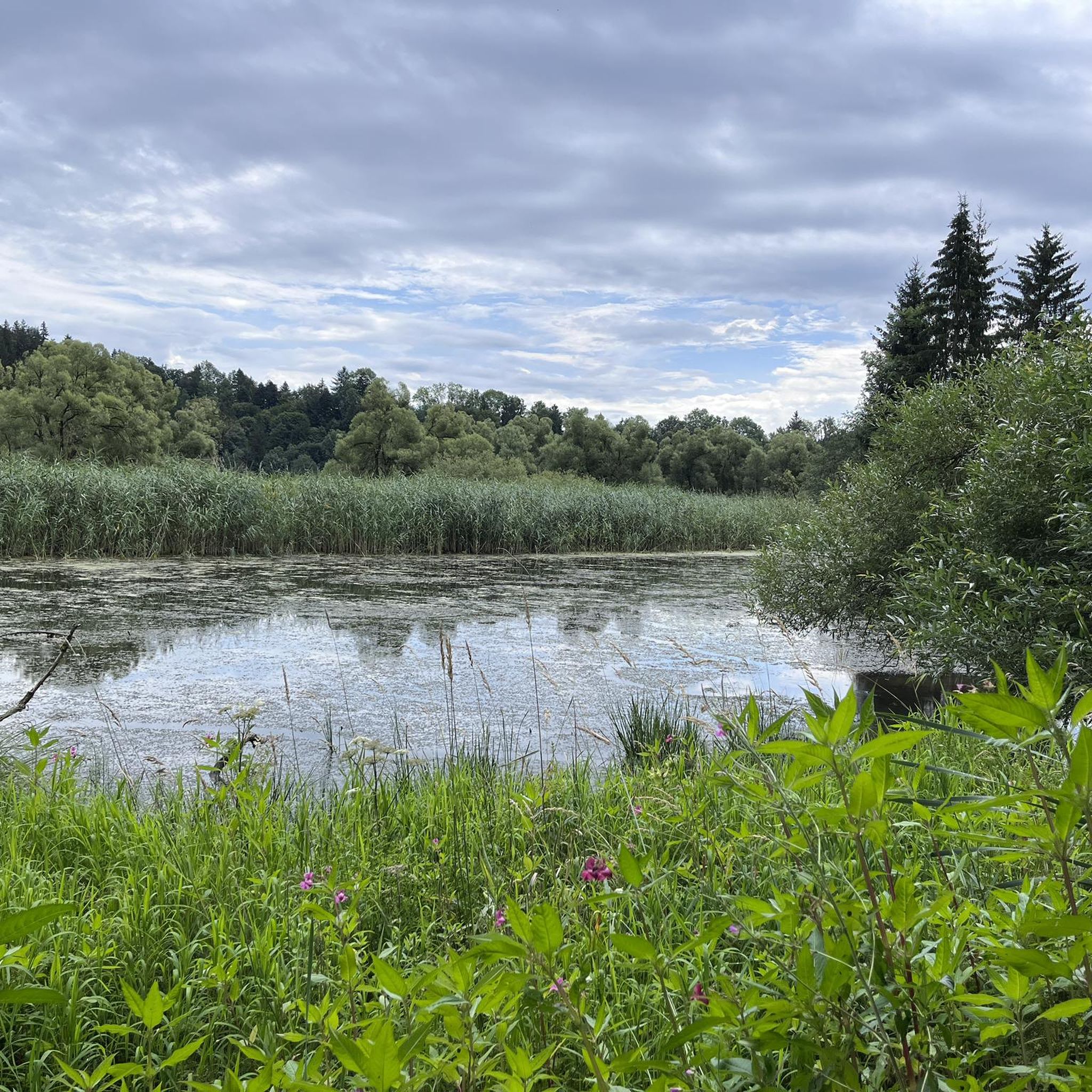
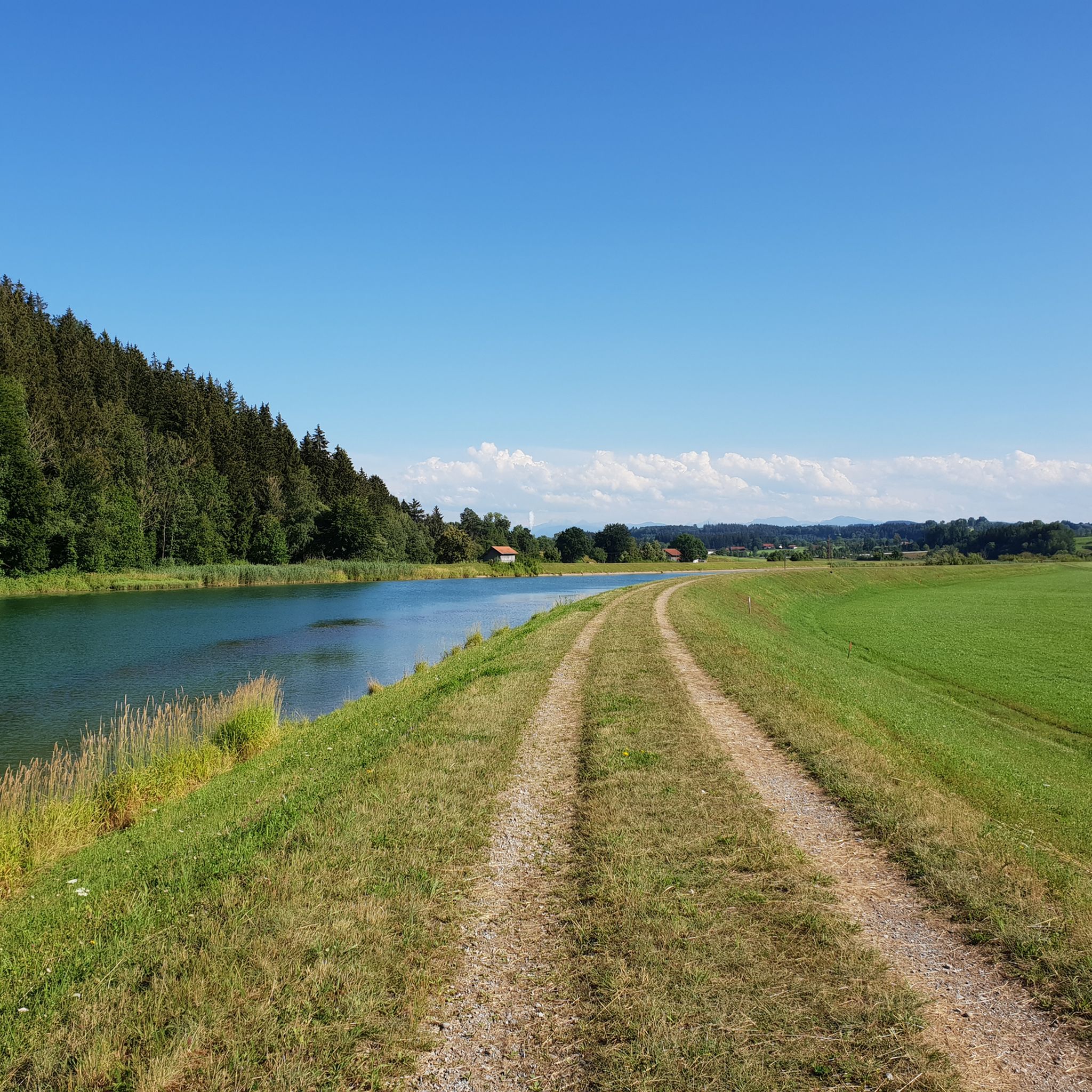
- Jogging around Altusried is defined by the Iller River, its characteristic "Tobel" (gorges), and the rolling Alpine foothills, alongside extensive forest and meadow paths. The network offers options for different ability levels, from easy loops to more demanding runs with significant elevation.
- The routes in Altusried are highly rated by the komoot community with an average score of 4.3 stars from over 70 reviews. Nearly 1000 runners have used komoot to explore Altusried's varied terrain.
Last updated: September 27, 2026
4.7
(3)
89
runners
16.8km
01:45
70m
70m
Hard run. Very good fitness required. Mostly paved surfaces. Suitable for all skill levels.
3.8
(20)
81
runners
9.09km
00:56
30m
40m
Moderate run. Good fitness required. Mostly paved surfaces. Suitable for all skill levels.

5.0
(4)
51
runners
18.3km
02:03
370m
370m
Hard run. Very good fitness required. Mostly accessible paths. Some sure footedness required.
4.0
(1)
31
runners
7.82km
00:50
100m
100m
Moderate run. Good fitness required. Mostly paved surfaces. Suitable for all skill levels.
4.0
(4)
34
runners
11.3km
01:12
110m
110m
Moderate run. Good fitness required. Mostly paved surfaces. Suitable for all skill levels.
Get access to more routes and recommendations from other explorers.
Already have an account?
Our route recommendations are based on thousands of hikes, rides, and runs completed by other people on komoot.
Start today with a free account
Your next adventure awaits.
Popular around Altusried

The Best of Allgäu – Tour around Oberallgäu
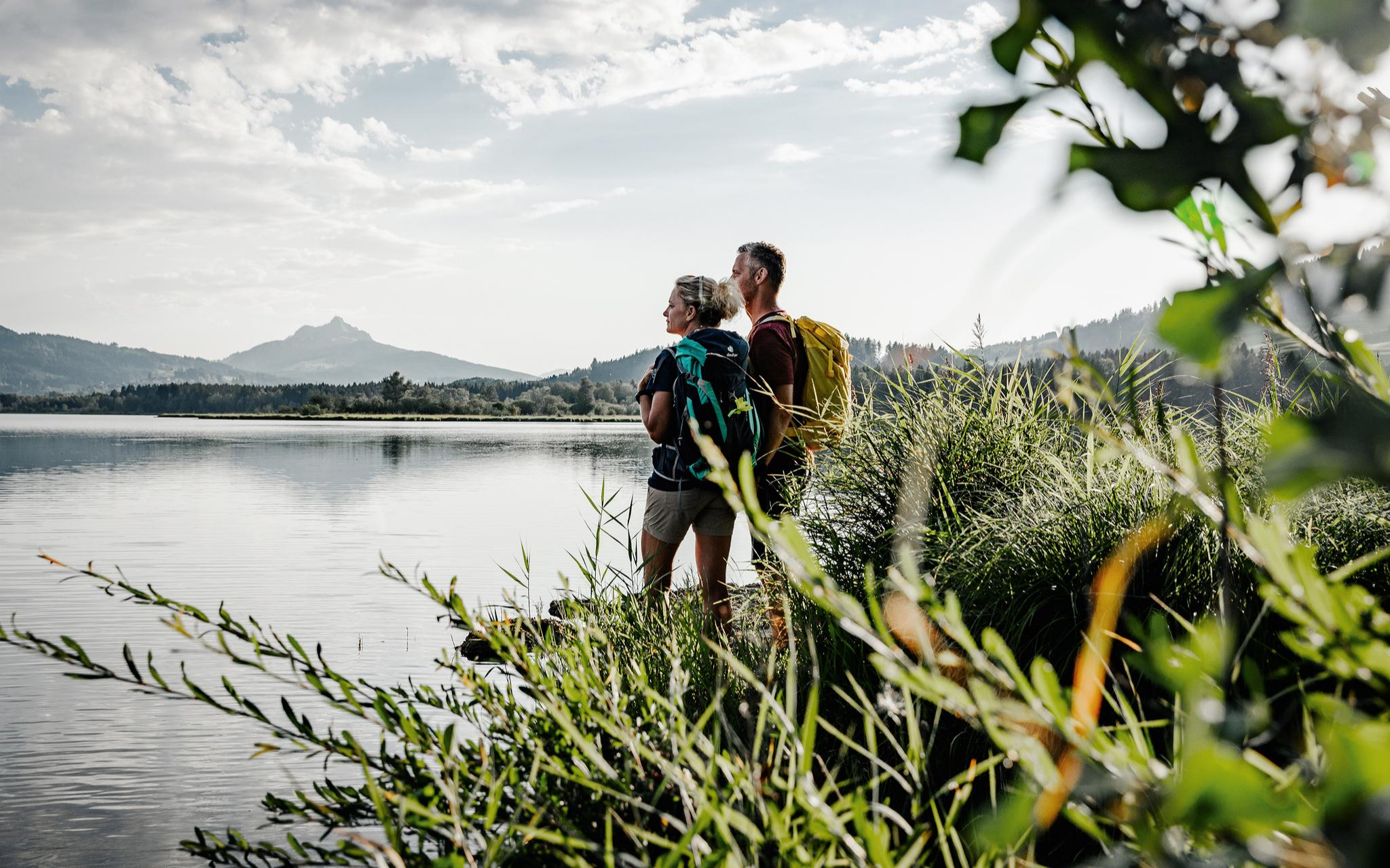
Fresh summer fun – half and full day hikes in Allgäu
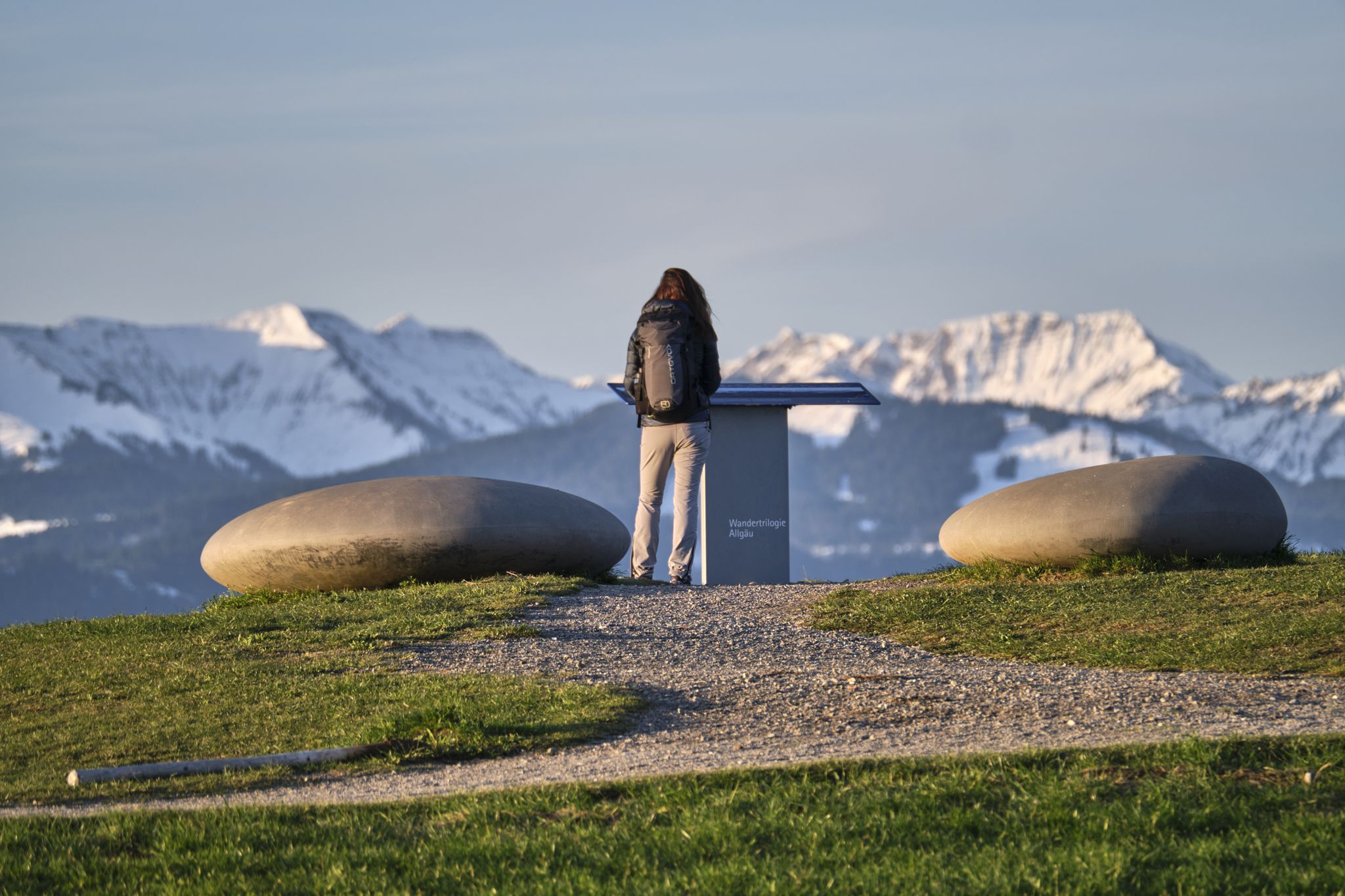
Experience history – hike the Trilogy Tours in Allgäu

Thousands of kilometres of hiking fun – long-distance hiking trails in Bavaria
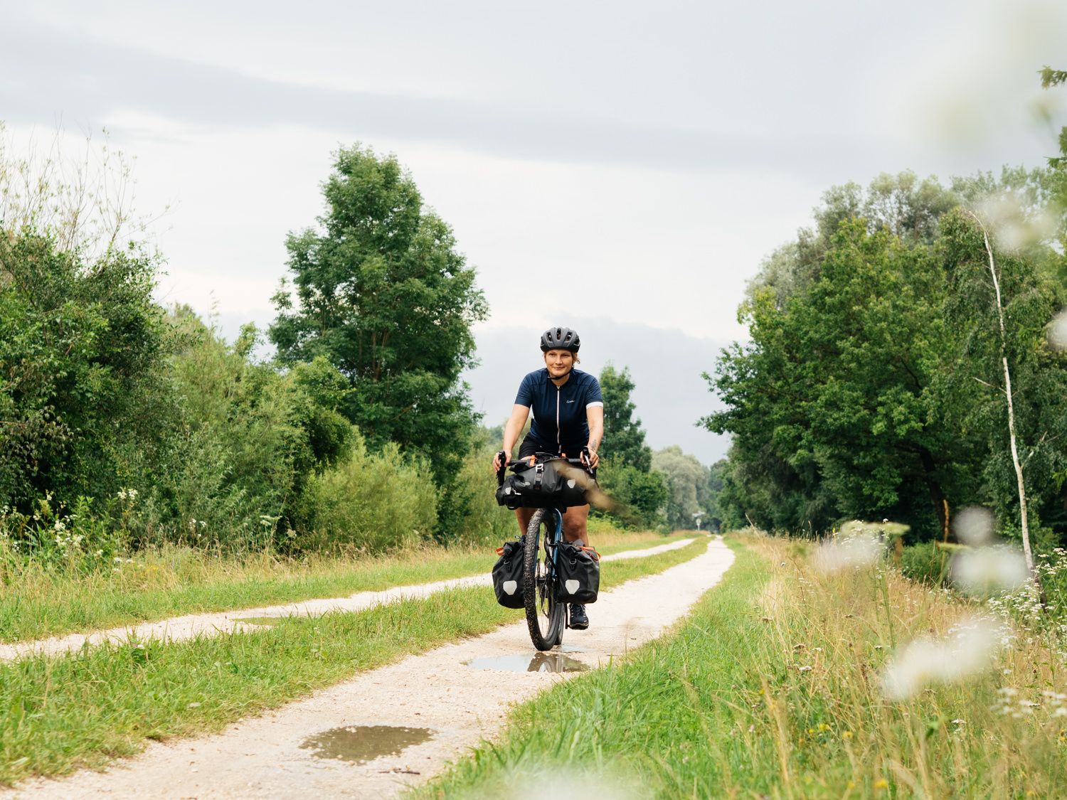
From Ulm to Oberstdorf – ride Germany’s Iller Cycle Path in 3 days
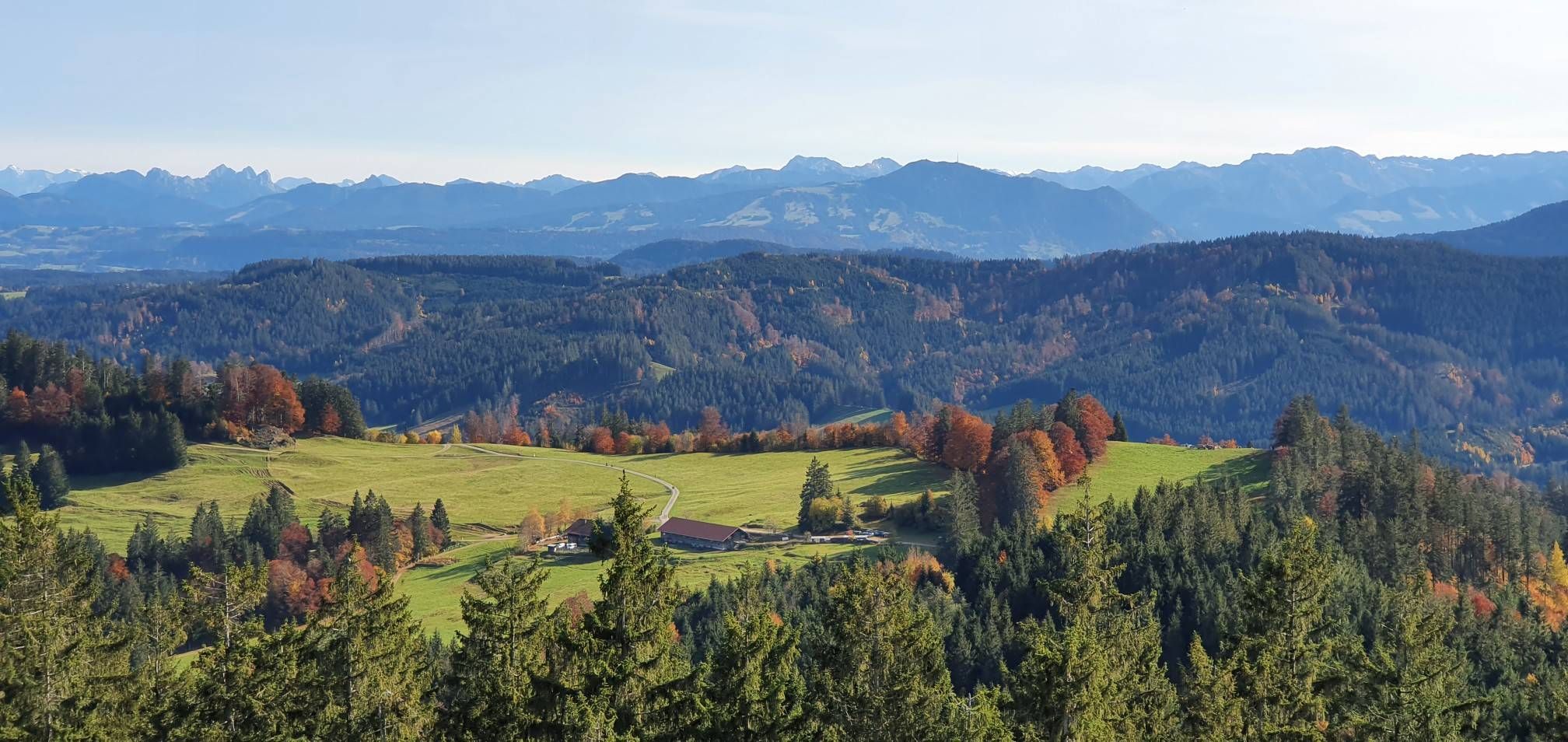
Alpine foothills on the Meadow Walkers’ Route – Allgäu hiking trilogy
Hiking around Altusried
Cycling around Altusried
Road Cycling Routes around Altusried
MTB Trails around Altusried
Other adventures around Altusried


Tips from the Community

Tastes differ. As a Kemptener, I will certainly never understand why there is a new highlight every 500 meters. It is a forest path without a mountain view that characterizes the Allgäu. The path could be anywhere in the world. A few hundred meters next to the Iller there are great side roads.
0
0
Tastes differ. As a resident of Kempten, I will certainly never understand why there is a new highlight every 500 meters. It is a forest path without a mountain view which makes up the Allgäu. The path could be anywhere in the world. A few hundred meters next to the Iller there are great side roads.
0
0
It's strange, you go cycling in the Allgäu and ride through the forest. On both sides of the Iller there are beautiful roads with little car traffic and mountain views.
0
0


The suspension bridge can already be spotted from the ruins of Kalden Castle.
0
0

Great path along the Iller river
1
0

Good exit from Center Parc
0
0
Beautiful terrain
0
0
Frequently Asked Questions
How many running routes are available in Altusried?
Altusried offers a wide variety of running experiences, with over 100 routes available. These include 18 easy, 79 moderate, and 17 difficult trails, catering to all fitness levels.
What are the main natural features I'll encounter while jogging in Altusried?
Jogging in Altusried means experiencing the scenic Allgäu region. You'll find routes along the Iller River and its characteristic 'Tobel' (gorges), offering picturesque views. The area is also part of the pre-Alpine landscape, featuring rolling hills, extensive forests, and open meadows. A notable natural landmark is the Illerdurchbruch (Iller Gorge).
Are there any designated or signposted running routes in Altusried?
Yes, Altusried boasts a system of eight signposted running routes known as 'Laufen rund um Altusried'. These routes vary in length from 3.8 to 11.5 km and have different themes and starting points, such as 'Brückenzauber' and 'Illertraum'.
What kind of terrain can I expect on the running trails around Altusried?
The running routes in Altusried offer varied terrain. You can expect a mix of asphalt, gravel, and natural forest paths. Some routes, especially those in the pre-Alpine foothills, may include root paths and elevation gains, requiring good fitness and sturdy shoes.
What do other runners say about the trails in Altusried?
The running routes in Altusried are highly rated by the komoot community, with an average score of 4.3 stars from over 70 reviews. Nearly 1000 runners have used komoot to explore the varied terrain, often praising the scenic beauty and diverse options.
Are there any interesting landmarks or attractions to see along the jogging routes?
Many routes offer scenic views and pass by interesting points. You might encounter the Cliffs along the Iller or the outlet of the retention basin. Near Rotkreuz, the Iller Experience Bridge and an observation tower provide magnificent views of the Iller River and surrounding landscape, easily integrated into a circular route.
Are there any easy running routes suitable for beginners or a relaxed jog?
Yes, Altusried has 18 easy running routes. For a relaxed jog, consider the Running loop from Dietmannsried, which is 4.8 km long with minimal elevation gain, making it ideal for beginners or a leisurely pace.
Where can I find longer or more challenging running routes in Altusried?
For more challenging runs, Altusried offers 17 difficult routes. A popular option is the View of the Illerschleife – Neu-Kalden Ruins loop from Altusried, which is 18.3 km long with over 360 meters of elevation gain. Another demanding route is the View of the Iller River at Rotkreuz – Iller Gorge loop from Altusried, spanning 25.2 km with over 460 meters of ascent.
Are there any running routes that include historical sites?
Yes, some routes incorporate historical elements. The Neu-Kalden Ruins loop from Altusried is a moderate 7.7 km trail that leads through forested areas and past historical ruins, offering a blend of nature and history.
What is the best time of year for jogging in Altusried?
The diverse landscapes of Altusried make it suitable for jogging throughout much of the year. Spring and autumn offer pleasant temperatures and vibrant scenery. Summer is also great, especially along the river, but be mindful of warmer temperatures. Winter running is possible, but some trails might be affected by snow or ice, particularly in higher elevations.
Are there any circular running routes available?
Many of the running routes in Altusried are designed as loops, allowing you to start and finish at the same point. Examples include the Running loop from Altusried and the Neu-Kalden Ruins loop from Altusried, providing convenient options for circular jogs.
Where can I find more information about the Altusried region?
For additional information about the Altusried region and its offerings, you can visit the local tourism association's website: tourismusverein-altusried.de.
Most popular routes around Altusried
Most popular attractions around Altusried

Get inspired with the komoot mobile app


Explore more
Browse the best Running Trails & Routes in other regions.
