The best walks and hikes around Cross Glebe
4.6
(75)
1,029
hikers
46
hikes
Hikes around Cross Glebe explore a landscape defined by rolling lowlands, riverside paths, and forested areas. The region's trails often follow the course of the River Bann and pass through woodlands like Somerset Forest. With generally low elevation gains, the terrain is accessible and provides a variety of walking routes suitable for different abilities.
Best hiking trails around Cross Glebe
- The most popular hiking route is Mountsandel Fort – Mountsandel Fort loop from Coleraine, a 2.5 mile (4.0 km)…
Last updated: October 12, 2026
5.0
(2)
30
hikers
Easy hike. Great for any fitness level. Easily-accessible paths. Suitable for all skill levels.
5.0
(2)
27
hikers
4.00km
01:03
30m
30m
Easy hike. Great for any fitness level. Easily-accessible paths. Suitable for all skill levels.

3.0
(1)
13
hikers
3.23km
00:52
40m
40m
Easy hike. Great for any fitness level. Easily-accessible paths. Suitable for all skill levels.
5.0
(2)
8
hikers
4.75km
01:16
50m
50m
Easy hike. Great for any fitness level. Easily-accessible paths. Suitable for all skill levels.
3
hikers
2.93km
00:45
20m
20m
Easy hike. Great for any fitness level. Easily-accessible paths. Suitable for all skill levels.
Get access to more routes and recommendations from other explorers.
Already have an account?
Our route recommendations are based on thousands of hikes, rides, and runs completed by other people on komoot.
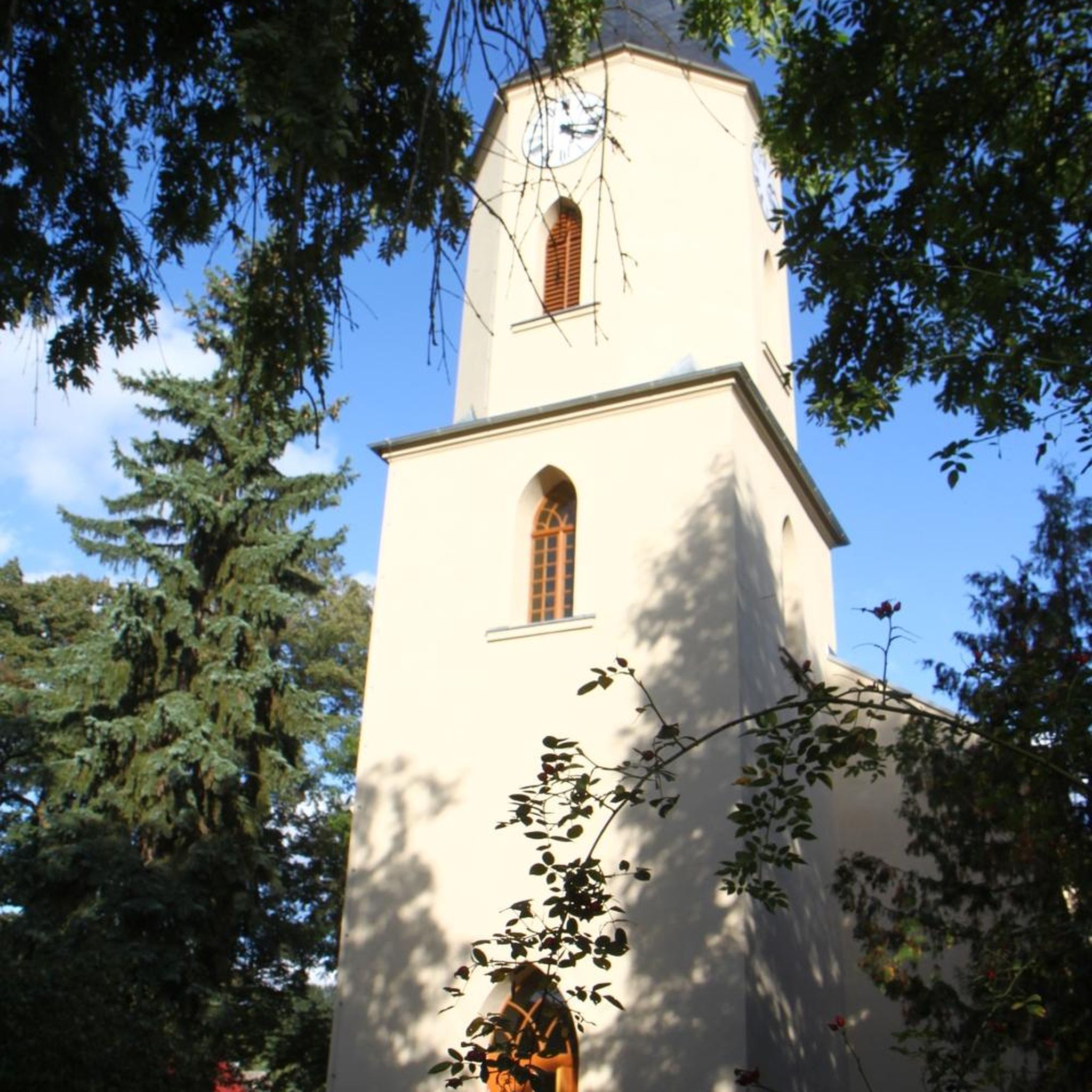
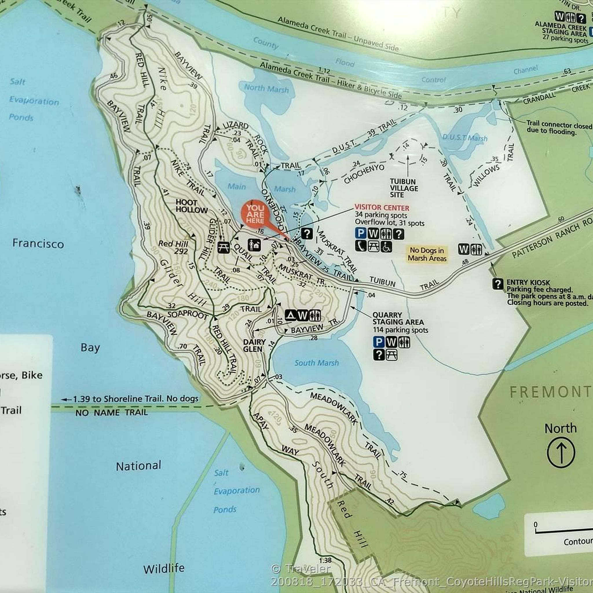

Tips from the Community


Mountsandel Fort is a prehistoric fort dating to the Mesolithic period that was reused in the Irish Middle Ages (10th to 11th centuries). Located in Coleraine, County Derry, the fort consists of a huge grassy mound hollowed out in the middle, overlooking the River Bann. A must-see for lovers of mysterious monuments!
1
0

In a very nice little square, with benches and many shops in the pedestrian area.
1
0

You can walk along a well defined forest path from the small car park near Coleraine Courthouse and from the Fort, you can see great views of the Salmon Leap (Weir) and Coleraine.
1
0
Frequently Asked Questions
Are there many hiking trails to choose from around Cross Glebe?
Yes, there are over 50 hiking routes to explore in the Cross Glebe area. The majority are easy or moderate, making the region very accessible. Most trails feature gentle terrain with low elevation gain, often following the River Bann or winding through local woodlands.
What do other hikers think of the trails in Cross Glebe?
The trails are highly regarded by the komoot community, with over 900 visitors rating the routes with an average of 4.7 out of 5 stars. Reviewers often praise the peaceful riverside paths and the well-maintained woodland trails.
Are there any easy, family-friendly walks in the area?
Absolutely. The region is well-suited for families, with 37 designated easy trails. A great option is the Mountsandel Fort – View of the River Bann loop from Coleraine. It's a short walk of about 2 miles (3.2 km) with lovely river views and minimal climbing, making it ideal for hikers of all ages.
Can I bring my dog on the hikes around Cross Glebe?
Many trails in the area are suitable for walking with a dog, especially through the open forest parks and along the river. However, always check for local signage, particularly near farmland where livestock may be present. It's recommended to keep your dog on a lead to protect local wildlife.
Are there any circular walks available?
Yes, loop trails are very common in the Cross Glebe area, allowing you to start and finish in the same spot without retracing your steps. The Motte and Bailey loop from Drumadragh is a pleasant circular route that explores the local countryside and historical features.
What are some popular places for hiking near Cross Glebe?
Besides the routes starting in Coleraine, hikers often explore nearby scenic areas. Popular spots include:
- Garvagh Forest: A local favourite known for its three scenic, color-coded trails through wonderful woodlands.
- Giant's Causeway Trails: Offers world-famous coastal views. The clifftop paths, like the Red Trail, provide breathtaking perspectives of the unique basalt columns.
- Shepherd's Steps: Part of the Giant's Causeway network, these steps connect the upper and lower paths and are a key feature of the highly-rated clifftop walk.
Where can I find a longer, more challenging hike?
While most routes are gentle, there are a few longer options for those seeking more of a challenge. The Hiking loop from Coleraine is a moderate 5-mile (8.1 km) trail that provides a more extensive exploration of the riverside and woodlands than the shorter loops.
What is the terrain like and what kind of footwear is best?
The terrain around Cross Glebe is mostly composed of gentle, rolling lowlands with forest paths and riverside trails. While many paths are well-maintained, some sections can be muddy, especially after rain. Sturdy walking shoes are sufficient for most routes, but waterproof hiking shoes or boots are recommended for comfort and grip in all conditions.
Is it possible to get to the trailheads using public transport?
Many of the most popular trails start in or near the town of Coleraine, which is well-serviced by regional bus and train lines. From the town centre, you can often walk directly to the start of several routes, such as those entering Mountsandel Wood and Somerset Forest.
Where can I park to access the hiking trails?
For trails starting from Coleraine, there are several public car parks within the town. For routes in specific parks like Garvagh Forest, you will typically find dedicated parking areas near the main entrance or trailhead. It's always a good idea to check your specific route on komoot for parking suggestions marked on the map.
Are there any pubs or cafes near the walking routes for a post-hike meal?
Yes, since many trails are accessible from Coleraine, you'll find a wide selection of pubs, cafes, and restaurants in the town centre. This makes it easy to enjoy a meal or a drink after completing your walk along the River Bann or through the nearby forests.
Most popular routes around Cross Glebe
Most popular attractions around Cross Glebe

Get inspired with the komoot mobile app


Explore more
Browse the best Hikes in other regions.
