The best running trails in Danube-Ries
4.3
(411)
8,088
runners
882
runs
Jogging in Danube-Ries offers diverse terrain shaped by the Nördlinger Ries meteorite impact crater, providing varied topography from gentle plains to the Riesalb hills. The region is characterized by picturesque riverside paths along the Danube and Wörnitz rivers, ideal for steady runs. Historic towns like Nördlingen and Donauwörth feature well-preserved medieval walls and charming cityscapes that can be incorporated into running routes. The landscape provides a mix of paved surfaces and natural trails, catering to different preferences and fitness levels.
…Last updated: October 5, 2026
4.2
(23)
398
runners
Moderate run. Good fitness required. Mostly paved surfaces. Suitable for all skill levels.
4.5
(4)
223
runners
9.81km
01:01
50m
50m
Moderate run. Good fitness required. Mostly paved surfaces. Suitable for all skill levels.

4.2
(17)
166
runners
4.92km
00:31
20m
20m
Easy run. Great for any fitness level. Mostly paved surfaces. Suitable for all skill levels.
3.5
(2)
108
runners
13.2km
01:25
150m
150m
Moderate run. Good fitness required. Mostly paved surfaces. Suitable for all skill levels.
3.5
(2)
101
runners
11.7km
01:14
140m
140m
Moderate run. Good fitness required. Mostly paved surfaces. Suitable for all skill levels.
102
runners
13.7km
01:33
210m
210m
Moderate run. Good fitness required. Mostly paved surfaces. Suitable for all skill levels.
92
runners
8.40km
00:54
130m
130m
Moderate run. Good fitness required. Mostly paved surfaces. Suitable for all skill levels.
4.0
(3)
78
runners
Moderate run. Good fitness required. Mostly paved surfaces. Suitable for all skill levels.
67
runners
11.1km
01:12
130m
130m
Moderate run. Good fitness required. Mostly paved surfaces. Suitable for all skill levels.
3.0
(1)
71
runners
Moderate run. Good fitness required. Mostly paved surfaces. Suitable for all skill levels.
Get access to more routes and recommendations from other explorers.
Already have an account?
Our route recommendations are based on thousands of hikes, rides, and runs completed by other people on komoot.
Start today with a free account
Your next adventure awaits.
Popular around Danube-Ries
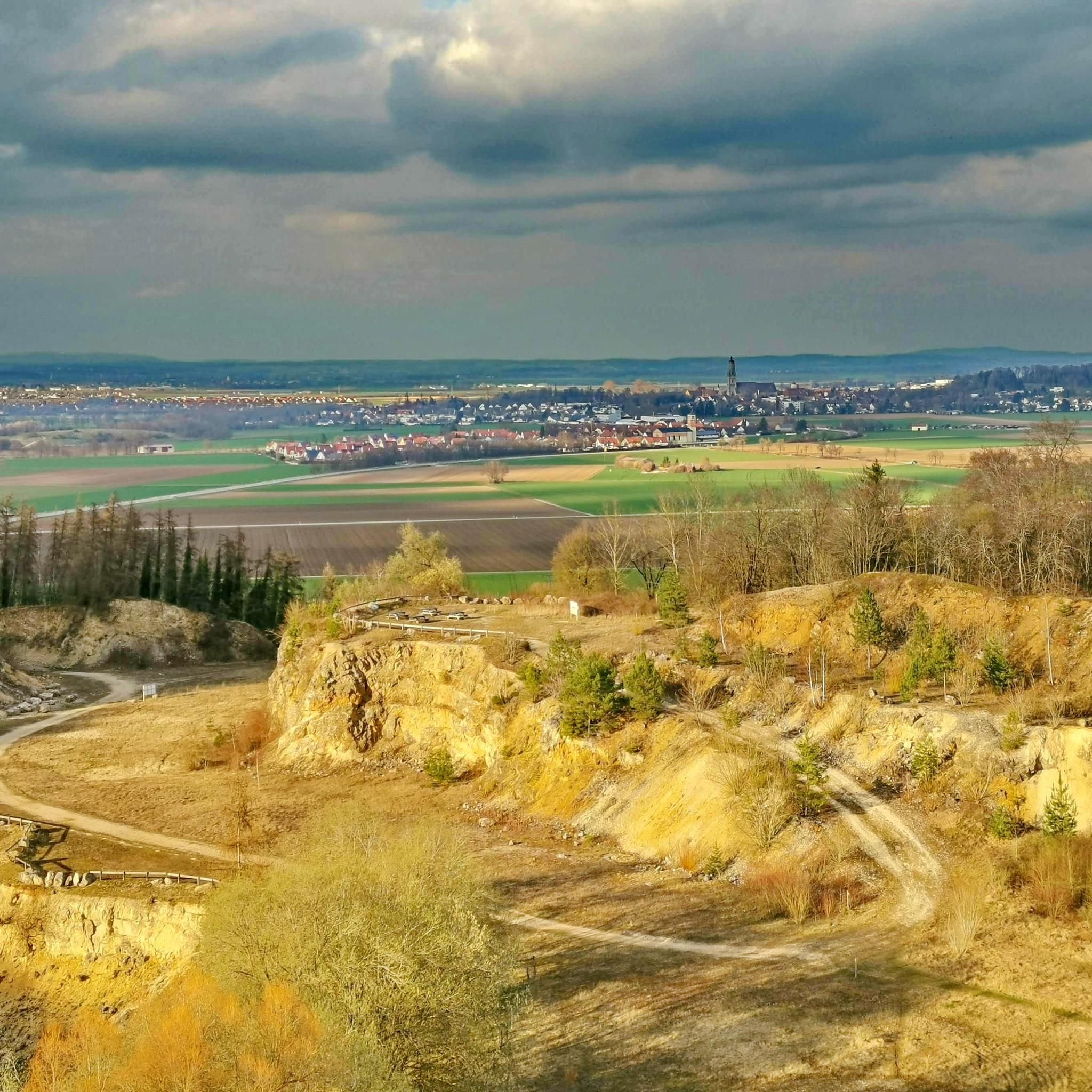
Running Trails around Nördlingen
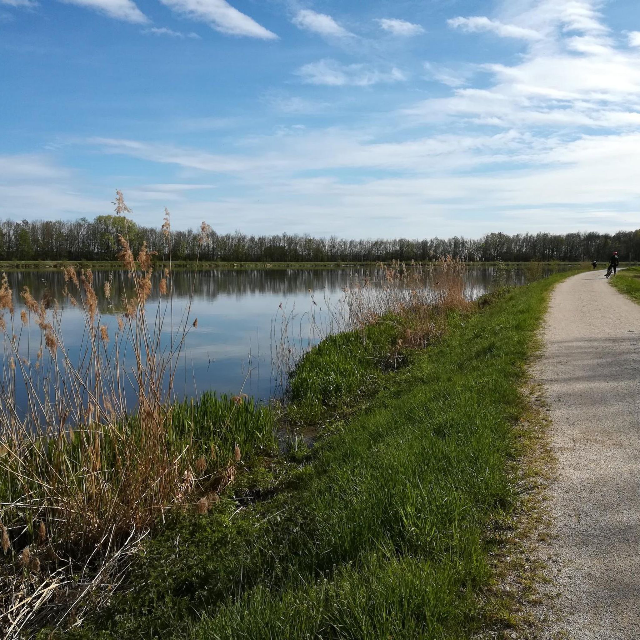
Running Trails around Donauwörth
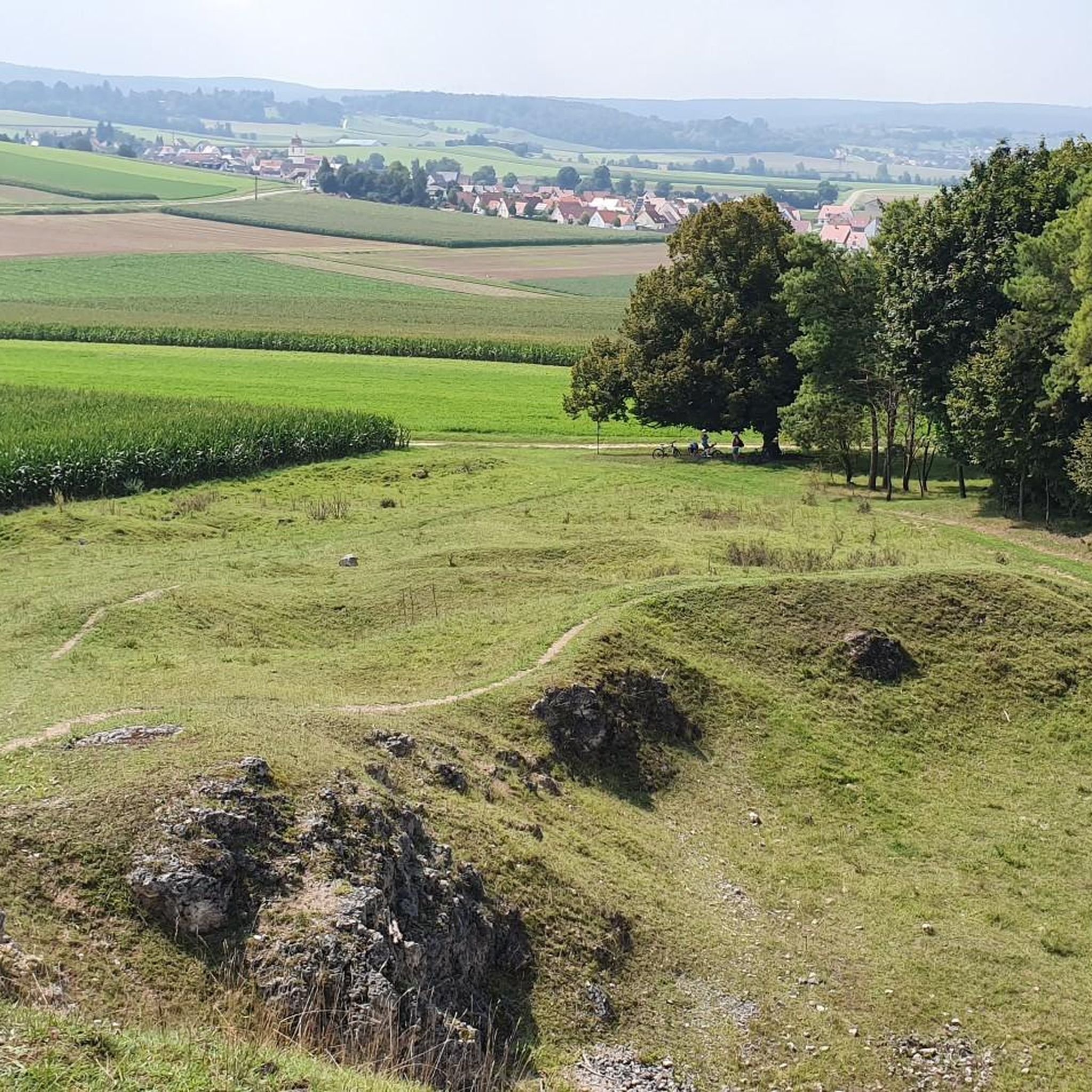
Running Trails around Reimlingen
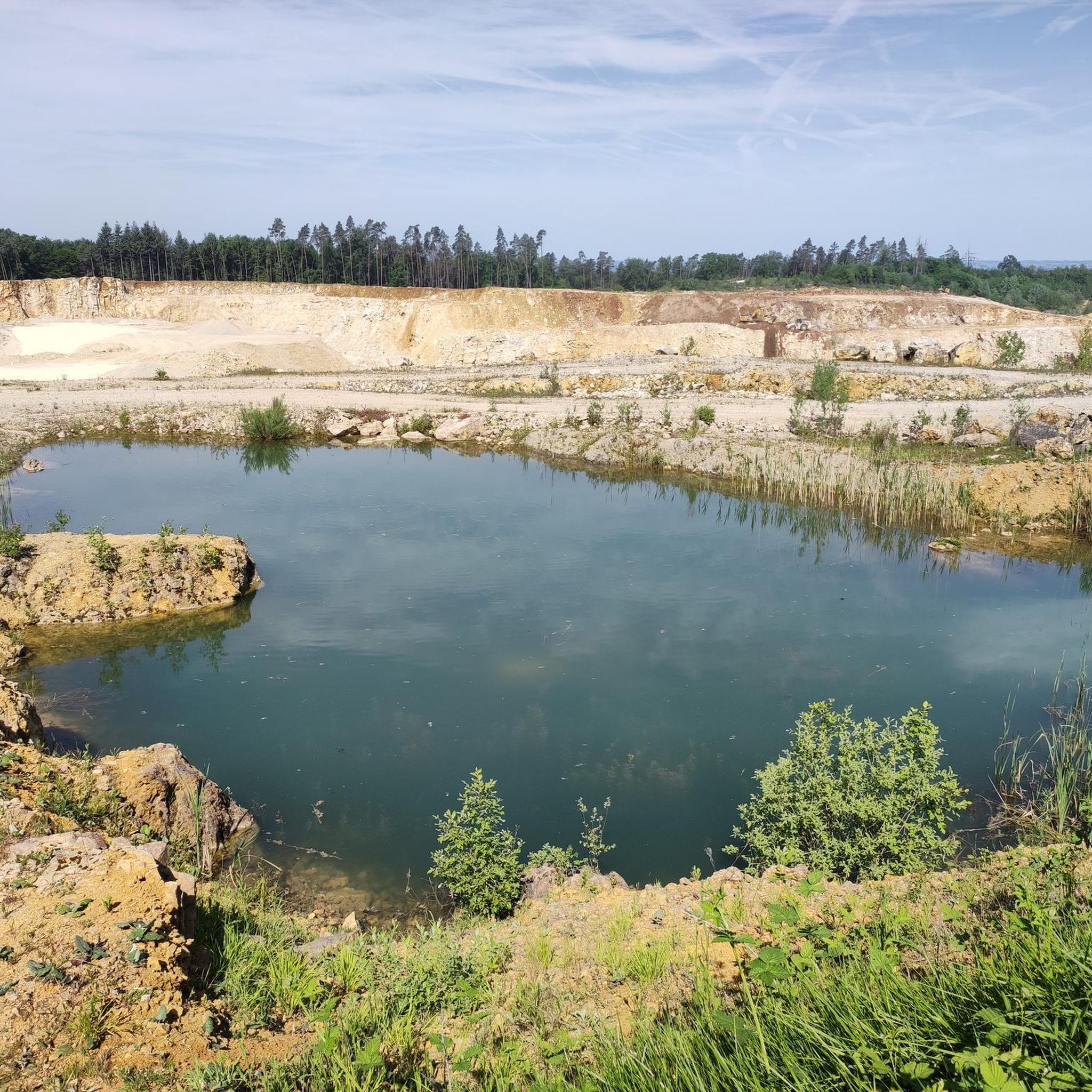
Running Trails around Huisheim
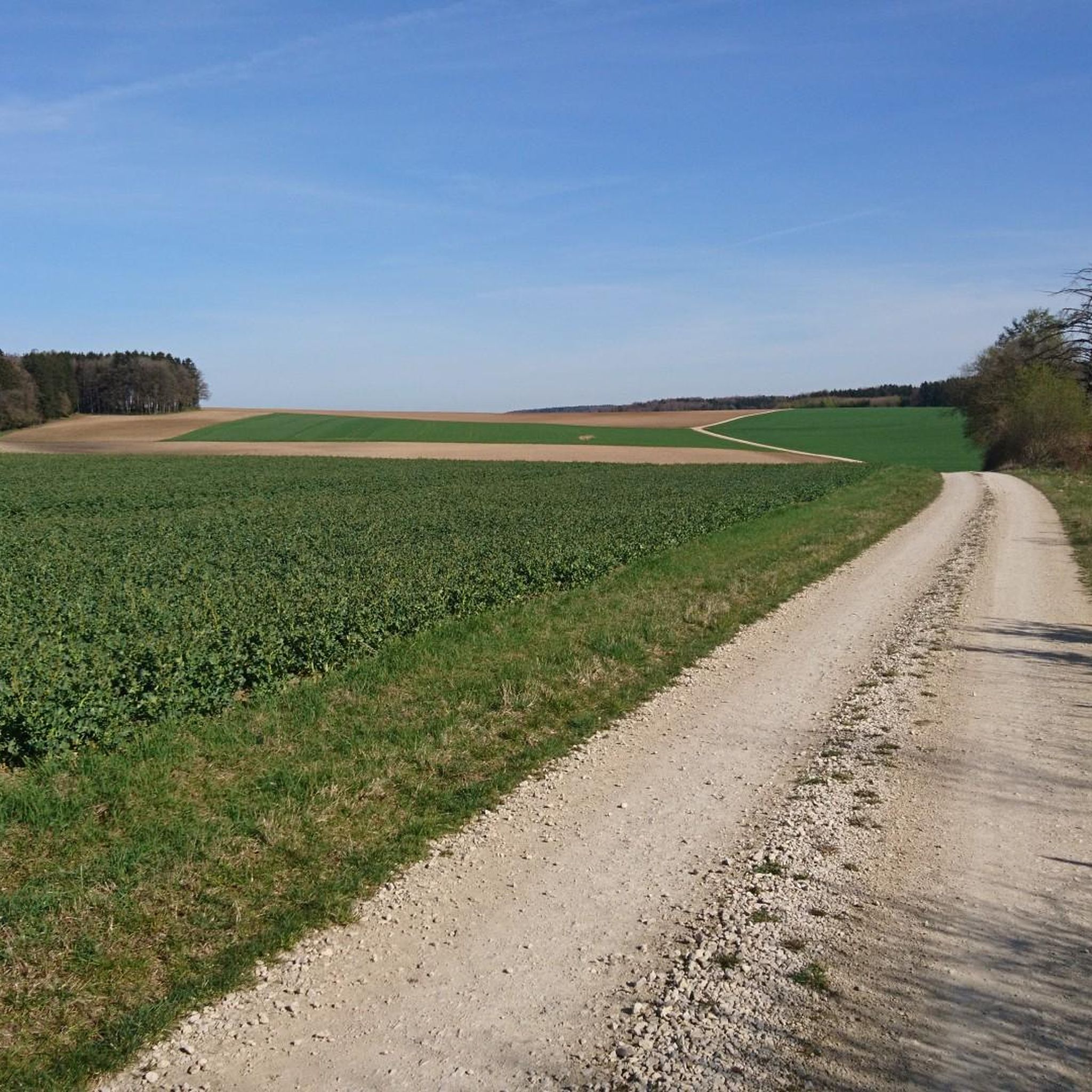
Running Trails around Otting
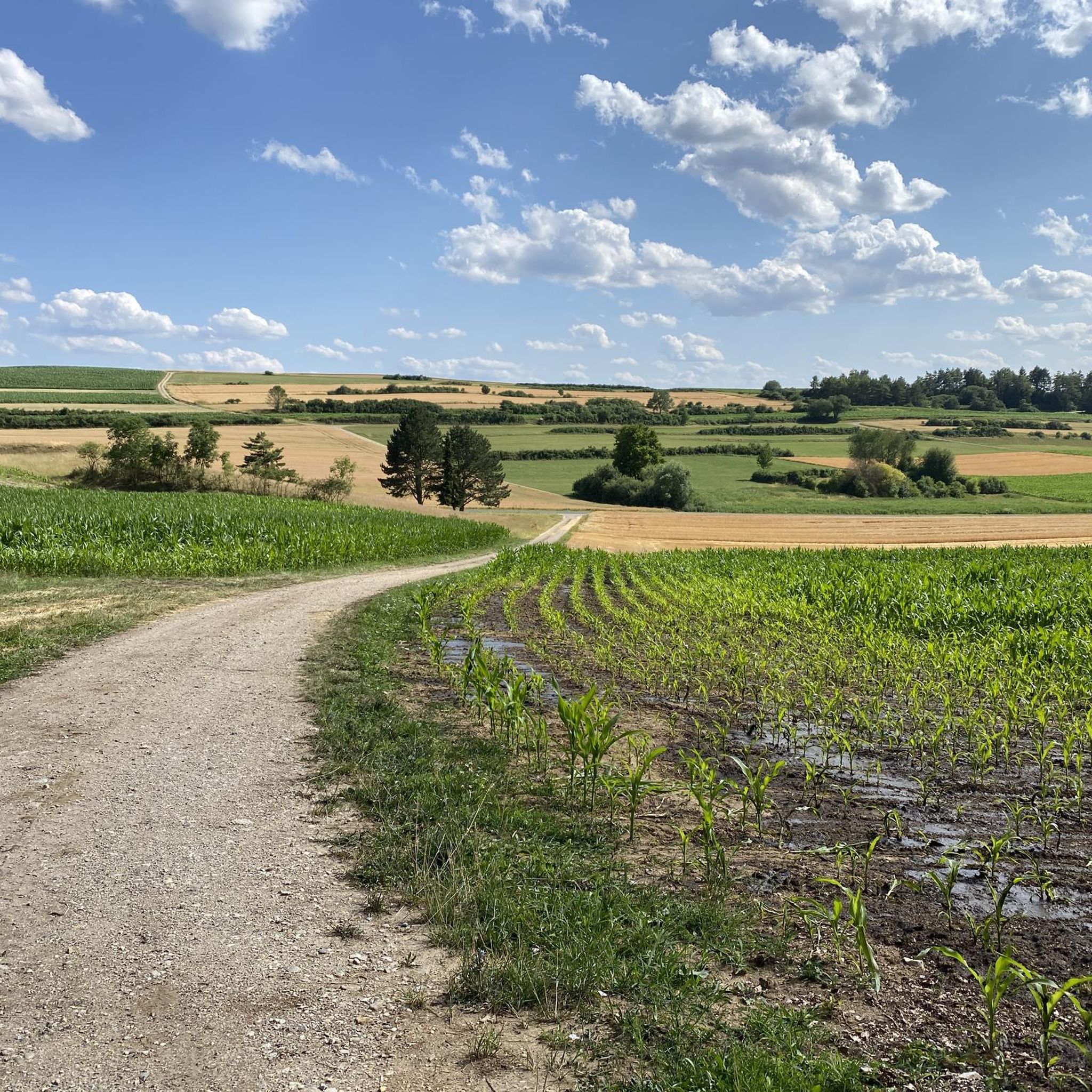
Running Trails around Fünfstetten
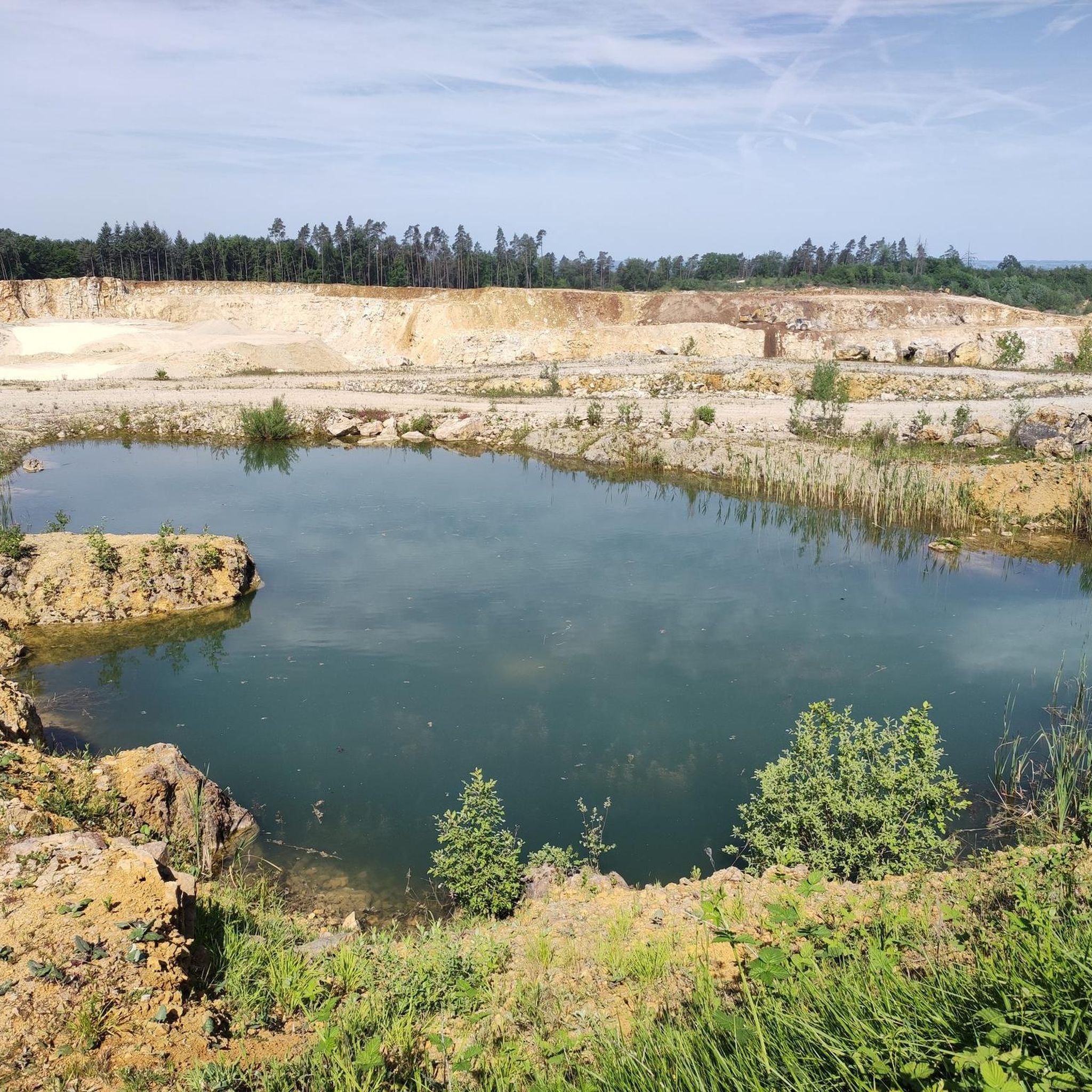
Running Trails in Schwalberholz
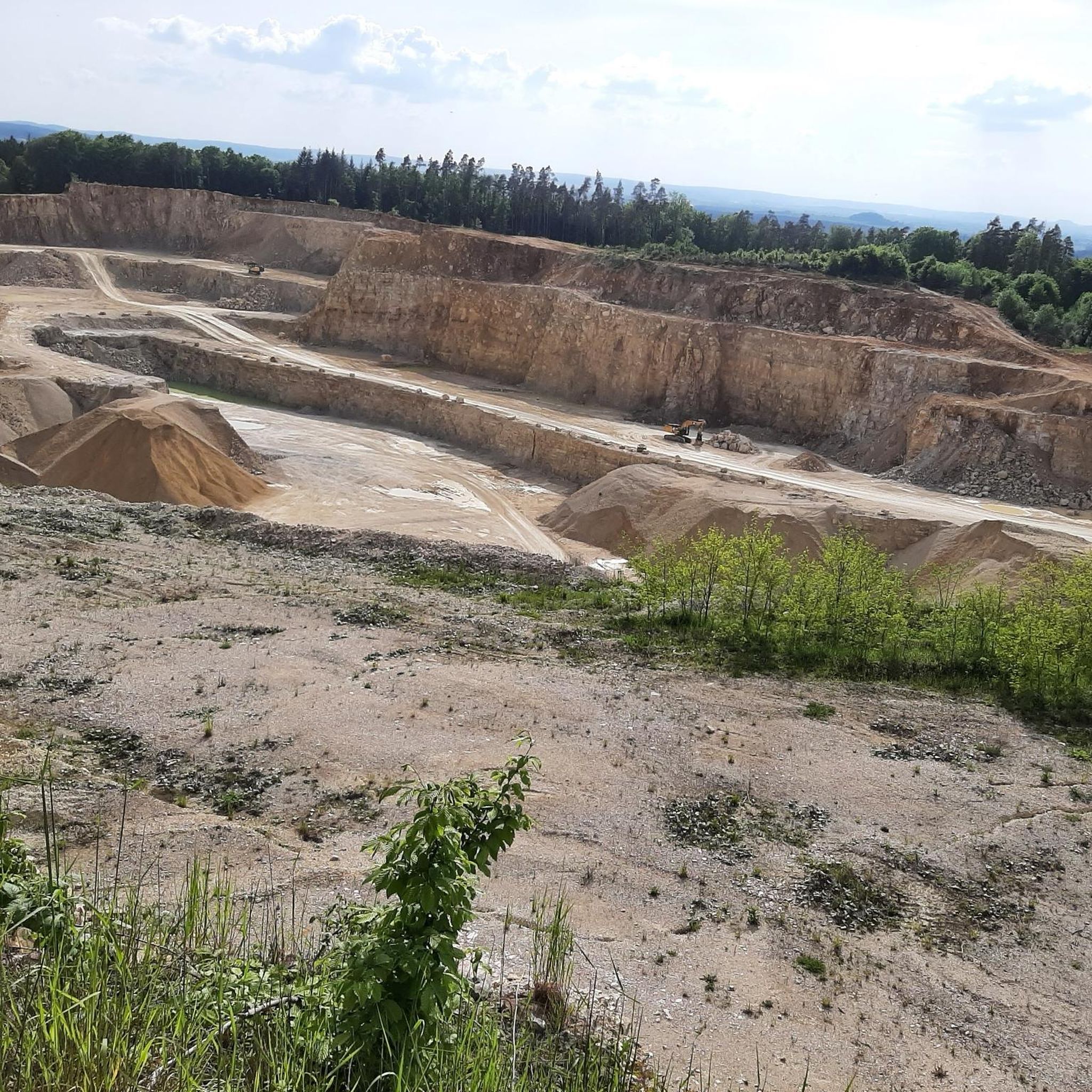
Running Trails around Wemding
Running Trails around Rögling
Running Trails around Harburg (Schwaben)
Other adventures in Danube-Ries


Tips from the Community

The bike path here is really very relaxed.
3
0
Donauwörth is a very nice little town, where there is a lot to discover.
3
0

The local history museum in Donauwörth is located in one of the oldest parts of the town. It is housed in the red house on Ried Island. The Härpfer family, who have been connected to the town's fishing history since 1434, once lived here. The museum displays religious folk art, crafts, and offers deep insights into the town's cultural history.
1
0

The Holy Cross Monastery in Donauwörth is a former Benedictine abbey. The monastery, dedicated to the Holy Cross, was founded around 1040 by Mangold I of Werd as a Benedictine convent. The founding gift was a fragment of the True Cross, which Mangold received in Constantinople as an envoy of the Holy Roman Emperor. At the beginning of the 12th century, the nunnery was replaced by a Benedictine monastery for men and relocated to the western edge of the town, its highest point within the city walls. After the buildings were damaged during the Thirty Years' War, the west wing of the monastery was rebuilt starting in 1680. The south and east wings were constructed between 1696 and 1700 by Valerian Brenner, incorporating the medieval cloister. Following the War of the Spanish Succession, Abbot Amandus Röls commissioned the construction of a new church. During the Rococo period (1770/1780), the buildings were remodeled and expanded several times. Joseph Schmuzer was the architect of the abbey church. Franz Schmuzer created the stucco work in the church in 1719 and the high altar in 1729. The frescoes in the chancel, which were usually painted there, were executed as oil paintings by Jacob Carl Stauder in 1720. The abbey was dissolved on January 15, 1803, as part of the secularization process. As a consequence of the Final Recess of the Imperial Deputation, the abbey's movable and immovable property was transferred to the Prince of Oettingen-Wallerstein as compensation for his losses of lands on the left bank of the Rhine, particularly the Lordship of Dagstuhl in the Hinterpfalz region. The abbey church remained as the parish church of the Holy Cross and as a pilgrimage church. At the beginning of the War of the Fifth Coalition (1809), Napoleon Bonaparte resided for several days in the prelature of the dissolved monastery, as evidenced by the "Napoleon Room" still located there today. From there, he even issued the first order of the day of the campaign, which would prove extremely favorable for him with the Peace of Schönbrunn, the culmination and turning point of his power on the European continent. Meanwhile, he had the former monastery church repurposed as a stable. The last abbot of the monastery was Cölestin Königsdorfer (1756–1840). The archive of the secularized Holy Cross Monastery (Donauwörth) is located in Harburg. In 1877, the educator Ludwig Auer acquired the monastery buildings. ...... Source: https://de.wikipedia.org/wiki/Kloster_Heilig_Kreuz_(Donauw%C3%B6rth)
1
0

Approximately 120 steps lead to the top... and offer a great view over Wemding at the very top.
2
0
Wörnitz Bridge - Wörnitz Footbridge - Wooden bridge with a view of the Holy Cross Monastery ⛪ - Wörnitz 🌊 - Donauwörth - Donau-Ries District
0
0
The Wörnitz is a left and northern tributary of the Danube in Bavaria, approximately 132 km long. The name is recorded as "Werinza" in the 11th century, and as "Warinza" in the 12th century. There are two theories regarding the origin of this name. In 1950, the onomastician Joseph Schnetz traced the name back to the Indo-European root *ver, meaning "to turn" or "to twist," to which the participle ending -entia was added. According to this theory, Wörnitz means "the winding one." Onomastician Wolf-Armin von Reitzenstein, however, the name derives from the Indo-European root *u̯er, meaning "water," from which it was derived by adding a -nt suffix. Albrecht Greule, on the other hand, sees a connection with the Indo-European words *h2u̯er- "to be moist" or *h2u̯erh1- "to wet." *h2u̯er- The river gave its name to several places: Wörnitz, Wörnitzhofen, Wörnitzostheim, and Wörnitzstein. The Wörnitz originates from a spring in Schillingsfürst on the Franconian Heights and flows from there fairly steadily in a southerly to easterly direction. Initially, it flows south through the municipality of Wörnitz through a meadow valley bordered by wooded hills, receiving the Ampfrach and Zwergwörnitz streams from the right along this stretch. At river kilometer 115.62, near the village of Reichenbach in Feuchtwangen, a gauge measures the flow rate. From the medieval town of Dinkelsbühl, a southeasterly section begins, leading to the edge of the Nördlinger Ries crater, where many of its tributaries feed ponds, sometimes in close succession. Now flowing more easterly, it first reaches Wilburgstetten, where the Rotach River flows into it from the west. Initially, it flows more easterly, through Wilburgstetten, where it is joined by the Rotach River, again from the west. ... ..... Source: https://de.wikipedia.org/wiki/W%C3%B6rnitz
0
0

The Baldinger Tor in Nördlingen is one of the five historical city gates and was first mentioned in 1376. It secured the road towards Würzburg and Frankfurt am Main and was part of the medieval city fortifications. The barbican was completed in 1406 by Master Wenzeslaus, and in 1430 a reconstruction took place under the direction of stonemason Conrad Stenglin. Originally, the gate structure resembled the Berger Tor: a rectangular main gate building with an almost square barbican. The tower was five stories high and had a round superstructure with a gun embrasure and a tent roof. During the Thirty Years' War, the gate was damaged, and in 1703 the tower unexpectedly collapsed – presumably due to insufficient repairs. Five people lost their lives.
8
0
Frequently Asked Questions
How many running routes are available in Danube-Ries?
Danube-Ries offers a wide selection of running routes, with over 900 options available on komoot. These routes cater to various preferences, from easy urban loops to more challenging trails with elevation changes.
Are there easy jogging routes suitable for beginners in Danube-Ries?
Yes, Danube-Ries has over 110 easy running routes perfect for beginners or those looking for a relaxed pace. An excellent option is the Kellermannsweg – Town Wall and Daniel Tower loop from Nördlingen, which is 3.1 miles (5.0 km) and leads through Nördlingen's historic town center.
What kind of scenery and landmarks can I expect on jogging routes in Danube-Ries?
Jogging in Danube-Ries offers diverse scenery, from the unique meteorite-formed landscape of the Nördlinger Ries to picturesque riverside paths along the Danube and Wörnitz rivers. You can also run through historic towns like Nördlingen, exploring its medieval town wall and the Daniel Tower, or Donauwörth with its charming old town and the Rieder Gate. Routes near Harburg offer stunning views of Harburg Castle.
Are there any circular running routes in Danube-Ries?
Many running routes in Danube-Ries are circular, allowing you to start and finish in the same location. For example, the Town Wall and Daniel Tower – Bäumlesgraben Pathway loop from Nördlingen is a popular 3.8-mile (6.2 km) circular route offering a unique historical backdrop.
What do other runners enjoy most about jogging in Danube-Ries?
The running routes in Danube-Ries are highly rated by the komoot community, with an average score of 4.2 stars from over 330 reviews. Runners often praise the region's unique blend of historical sites, such as Nördlingen's medieval town wall, and the scenic river paths along the Danube and Wörnitz.
Can I find running routes with good viewpoints in Danube-Ries?
Absolutely. The region's varied topography, including the Riesalb hills, provides several routes with excellent viewpoints. For instance, the Witches' Rock, Nördlingen – View of Holheim loop from Nördlingen offers scenic vistas, as does the View of the Wörnitztal Valley loop from Harburg (Schwaben).
Are there running routes that pass by water features like rivers or ponds?
Yes, the Danube-Ries region is characterized by its rivers. You'll find numerous routes along the Danube and Wörnitz rivers, offering flat and scenic paths. The Fish ladder in Geopark Ries – Danube Cycle Path loop from Donauwörth is a longer option that follows the Danube, while the Wemding Town Wall – Doos Pond loop from Wemding includes a pond.
Are there any longer, more challenging running trails in the area?
For those seeking a greater challenge, Danube-Ries offers nearly 125 difficult routes. The Fish ladder in Geopark Ries – Danube Cycle Path loop from Donauwörth is a longer, difficult route at 10.6 miles (17.1 km) that provides a good endurance test along the river.
Can I find running routes that are less crowded?
While popular routes around Nördlingen and Donauwörth can see more foot traffic, the vast network of over 900 routes means you can easily find quieter trails. Exploring routes further afield from the main towns or during off-peak hours can lead to a more solitary running experience. Consider routes in areas like Mönchsdeggingen, such as the Prälatenweiher loop.
Are there any running routes that incorporate historical sites or old towns?
Many routes in Danube-Ries are perfect for combining your run with historical exploration. Nördlingen's medieval town wall is a prime example, with routes like the Town Wall and Daniel Tower – Kornlach Stream loop from Nördlingen offering a run alongside ancient fortifications and through the historic town.
What types of terrain can I expect on the running trails?
The running trails in Danube-Ries offer a mix of terrain. You'll find mostly paved surfaces in and around towns and along river paths, suitable for all skill levels. However, routes in the Riesalb hills or more rural areas may involve natural trails, requiring good fitness and sure-footedness.
Are there places to stop for refreshments or rest along the running routes?
Yes, especially on routes that pass through or near towns and villages. You can find cafes and restaurants in places like Nördlingen and Donauwörth. For routes in more natural settings, there are also huts and shelters available, such as the Eisbrunn Forest Tavern or various shelters listed as highlights on komoot.
Most popular routes in Danube-Ries
Most popular attractions in Danube-Ries

Get inspired with the komoot mobile app


Didn’t find what you were looking for?
Check out more Running Trails & Routes throughout Danube-Ries below and find the perfect route in your destination.
Explore more
Browse the best Running Trails & Routes in other regions.
