The best cycling routes around Linthal
4.6
(378)
4,800
riders
67
rides
Touring cycling around Linthal, Switzerland, offers diverse terrain within a picturesque alpine setting. The region is characterized by the Linth Valley and Linth Canal, providing relatively easy and scenic routes. Cyclists can explore high alpine pastures like Urnerboden, surrounded by mountains, and encounter significant geological formations. The area features a mix of paved and unpaved surfaces, with routes ranging from gentle valley rides to challenging mountain ascents.
Best touring cycling routes around Linthal
- The most popular touring cycling route is…
Last updated: November 7, 2026
4.3
(9)
218
riders
53.5km
04:52
1,550m
1,550m
Hard bike ride. Very good fitness required. Mostly paved surfaces.
4.7
(6)
69
riders
24.7km
01:37
240m
240m
Moderate bike ride. Good fitness required. Mostly paved surfaces.

4.8
(5)
87
riders
27.7km
02:30
870m
870m
Hard bike ride. Very good fitness required. Mostly paved surfaces.
5.0
(2)
51
riders
26.7km
02:18
910m
910m
Hard bike ride. Very good fitness required. Mostly paved surfaces.
39
riders
21.7km
01:52
500m
500m
Hard bike ride. Very good fitness required. Mostly paved surfaces.
Get access to more routes and recommendations from other explorers.
Already have an account?
Our route recommendations are based on thousands of hikes, rides, and runs completed by other people on komoot.
Start today with a free account
Your next adventure awaits.



Tips from the Community

At Alp Bösbächi, there is a beautiful, spacious alpine tavern, the Bächibeizli. The Bächibeizli is easily accessible on the hiking trail from Oberblegi towards Braunwald. In 6 minutes, the Brunnenbergbahn cable car takes visitors from Luchsingen to Brunnenberg, from where a one-hour path leads to Alp Bösbächi.
1
0

The small chapel of Sogn Martin is one of the oldest sacred buildings in Brigels and presumably dates back to the early Middle Ages. The Romanesque tower is particularly striking, while a beautiful late Gothic wooden ceiling can be discovered inside. A special highlight is the Gothic winged altarpiece from 1518 with Saint Martin as the centerpiece. The wall paintings from 1515 also make the chapel particularly interesting from an art historical perspective. A small, but very worthwhile testament to the long history of Brigels.
0
0
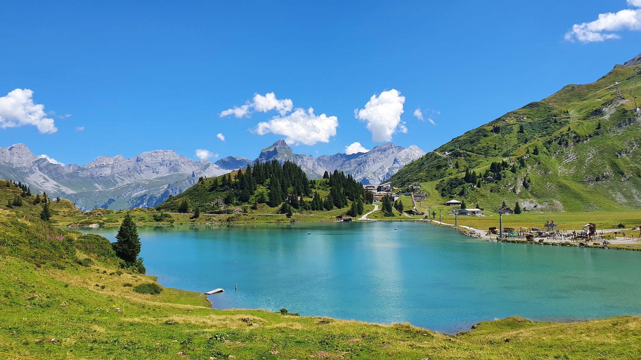
The Lag da Breil, or Brigelsersee in German, lies at around 1,255 m above sea level, directly above Brigels. The lake, approximately 500 meters long and up to 140 meters wide, was created as a reservoir in 1946 and is used for energy production. The lake is fed and drained by the Flem river. Despite its function as a reservoir, the Lag da Breil appears very idyllic and blends beautifully into the landscape around Brigels. A pleasant walking path leads all the way around the lake. Important: Swimming is not allowed in the reservoir.
0
0
The Lag da Breil, in German Brigelsersee, lies at around 1,255 m above sea level, directly above Brigels. The lake, approximately 500 meters long and up to 140 meters wide, was created as a reservoir in 1946 and is used for energy production. The Flem feeds and drains the lake. Despite its function as a reservoir, the Lag da Breil appears very idyllic and blends beautifully into the landscape around Brigels. A pleasant walking path leads all the way around the lake. Important: Swimming is not allowed in the reservoir.
0
0
Brigels, in Romansh Breil, lies on a sunny terrace at around 1,300 m above sea level and, with its old houses around the parish church, has certainly retained its original village character. However, I also noticed today that Brigels is significantly more tourist-oriented than I had expected. Numerous holiday apartments, hotels, and tourist facilities are located around the village. As a result, the place sometimes seems less quiet and original than one might expect from a mountain village. Nevertheless, Brigels is beautifully situated in terms of landscape and offers a good starting point for hikes in the Surselva.
0
0
The Lag da Breil, in German Brigelsersee, lies at around 1,255 m above sea level, directly above Brigels. The lake, approximately 500 meters long and up to 140 meters wide, was created as a reservoir in 1946 and is used for energy production. The lake is fed and drained by the Flem. Despite its function as a reservoir, the Lag da Breil appears very idyllic and blends beautifully into the landscape around Brigels. A pleasant walking path leads all the way around the lake. Important: Swimming is not permitted in the reservoir.
0
0


The colors of the lake are mega
0
0
Frequently Asked Questions
How many touring cycling routes are available around Linthal?
There are over 70 touring cycling routes around Linthal, offering a wide range of experiences. These include 7 easy routes, 19 moderate routes, and 46 difficult routes, catering to various skill levels.
What kind of terrain can I expect on touring cycling routes in Linthal?
The terrain around Linthal is quite varied, ranging from relatively easy rides along the Linth Valley and Linth Canal to challenging ascents into high alpine pastures. You'll encounter a mix of paved and unpaved surfaces, with elevation gains from minimal to over 1500 feet on some routes, providing options for different challenges.
Are there any family-friendly touring cycling routes in Linthal?
Yes, Linthal offers several routes suitable for families. The Linth Valley and Linth Canal provide relatively easy and scenic rides, often on flatter terrain. While specific family-friendly routes aren't detailed, the 7 easy routes available are a good starting point for less experienced cyclists or families.
What are some notable natural attractions I can see while cycling in Linthal?
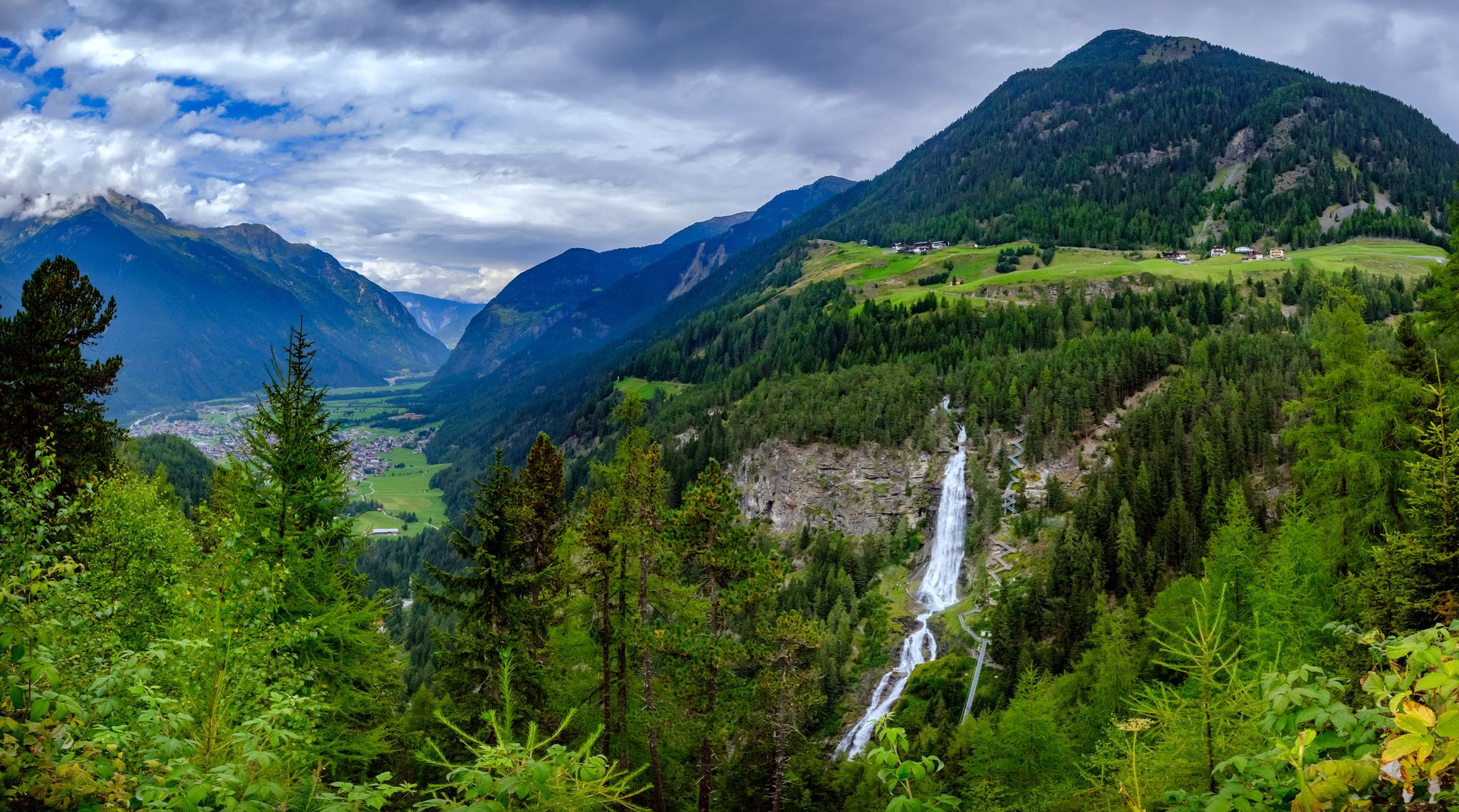
Many routes offer stunning natural beauty. You can cycle past the impressive Berglistüber Waterfall, or explore the expansive Urnerboden Valley, known as Switzerland's largest cow alpine pasture. The journey from Linthal to Glarus also reveals numerous geological sights, with information boards detailing the region's unique formations.
Are there any circular touring cycling routes in the Linthal area?
Yes, there are several circular routes available. For instance, the difficult Urnerboden Valley – View of Urnerboden Valley loop from Urnerboden offers a challenging ride through alpine landscapes. Another option is the View of Urnerboden Valley – Berglistüber Waterfall loop from Klausenpass, which is also a circular route.
What do other touring cyclists enjoy most about cycling in Linthal?
The area is highly rated by the komoot community, with an average score of 4.7 stars from nearly 300 reviews. Cyclists often praise the diverse terrain, from gentle valley rides to challenging mountain ascents, and the breathtaking views of the Alps and unique geological formations. The mix of natural beauty and historical insights also contributes to a rewarding experience.
Can I find cafes, pubs, or accommodation along the touring cycling routes in Linthal?
Yes, cycling routes often pass through charming towns and villages like Rüti, Betschwanden, Diesbach, and Glarus. These places offer opportunities to experience local culture and hospitality, where you can typically find cafes, pubs, and various accommodation options to rest and refuel during your tour.
What are some historical or cultural points of interest along the routes?
The Glarnerland region has a rich industrial past. As you cycle, you can observe remnants of this history, including factory sites, hydropower plants, workers' settlements, and manufacturers' villas. The Glarner Industrial Trail provides explanations of these historical buildings, offering an educational aspect to your ride.
What is the best time of year for touring cycling in Linthal?
While specific seasonal conditions are not detailed, the alpine nature of Linthal suggests that late spring through early autumn typically offers the most favorable weather for touring cycling. During these months, mountain passes are generally clear of snow, and the weather is more stable for exploring both valley floors and higher elevations.
Are there any specific passes or mountain areas that are popular for touring cyclists?
Yes, several passes and mountain areas are popular. The Fiseten Pass is a notable feature on routes like the difficult Fiseten Pass – Urnerboden Valley loop from Argseeli. The Alpenpanorama-Route also traverses the valley floor of Glarnerland, offering breathtaking views of the Alps.
Are there options for different difficulty levels for touring cycling in Linthal?
Absolutely. Linthal's touring cycling network is designed to accommodate various ability levels. You can choose from 7 easy routes for a relaxed ride, 19 moderate routes for a bit more challenge, or tackle one of the 46 difficult routes if you're seeking significant elevation gains and advanced riding skills.
Most popular attractions around Linthal

Get inspired with the komoot mobile app


Explore more
Browse the best Cycling routes in other regions.
