The best running trails around Oberelsbach
4.8
(53)
519
runners
38
runs
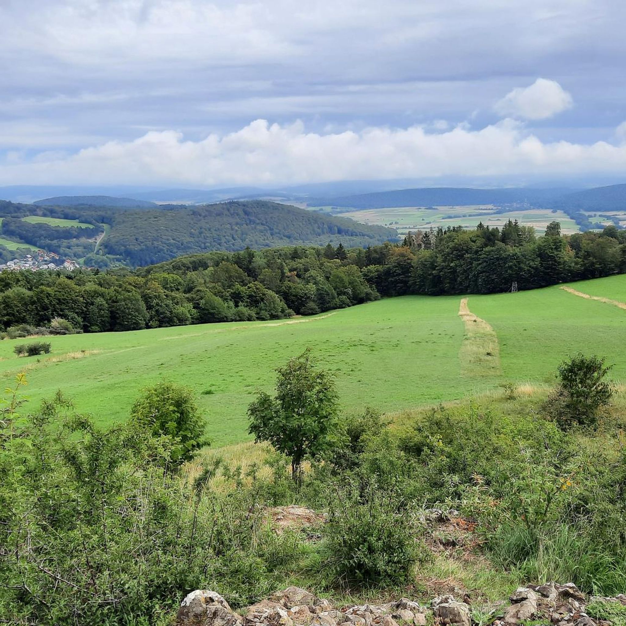
Jogging around Oberelsbach offers access to the expansive and open landscapes of the Rhön Mountains, a UNESCO Biosphere Reserve. The region features a diverse topography with unforested heights, rolling hills, and varied valleys, providing a range of running experiences. Basalt forests and moors also contribute to the rich and ever-changing backdrop for running routes. This area is characterized by vast mountain meadows and offers panoramic views, particularly from its less wooded peaks and high plateaus.
Best jogging routes around Oberelsbach
…Last updated: October 6, 2026
5.0
(4)
58
runners
10.8km
01:15
160m
160m
Moderate run. Good fitness required. Mostly paved surfaces. Suitable for all skill levels.
5.0
(3)
50
runners
12.2km
01:20
100m
100m
Moderate run. Good fitness required. Mostly paved surfaces. Suitable for all skill levels.

4.8
(6)
78
runners
17.3km
02:09
350m
350m
Hard run. Very good fitness required. Mostly paved surfaces. Suitable for all skill levels.
4.8
(4)
20
runners
Moderate run. Good fitness required. Mostly paved surfaces. Suitable for all skill levels.
5.0
(1)
13
runners
8.49km
01:01
160m
160m
Moderate run. Good fitness required. Mostly paved surfaces. Suitable for all skill levels.
Get access to more routes and recommendations from other explorers.
Already have an account?
Our route recommendations are based on thousands of hikes, rides, and runs completed by other people on komoot.
Start today with a free account
Your next adventure awaits.
Popular around Oberelsbach

Extra tours South - Excellent premium hiking trails of the Rhön

Discover Rhön - Half-day tours through the biosphere reserve

Naturlehrpfade – Natur und Wissen
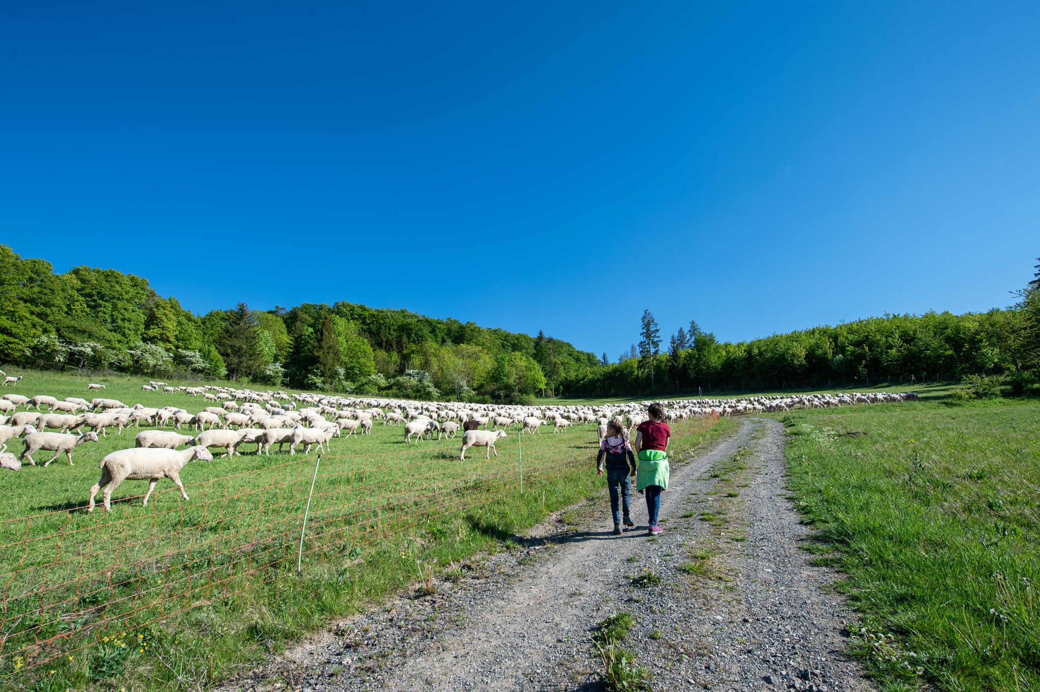
Family paths - on the way with kids in the Rhön

Rundwanderwege um Oberelsbach
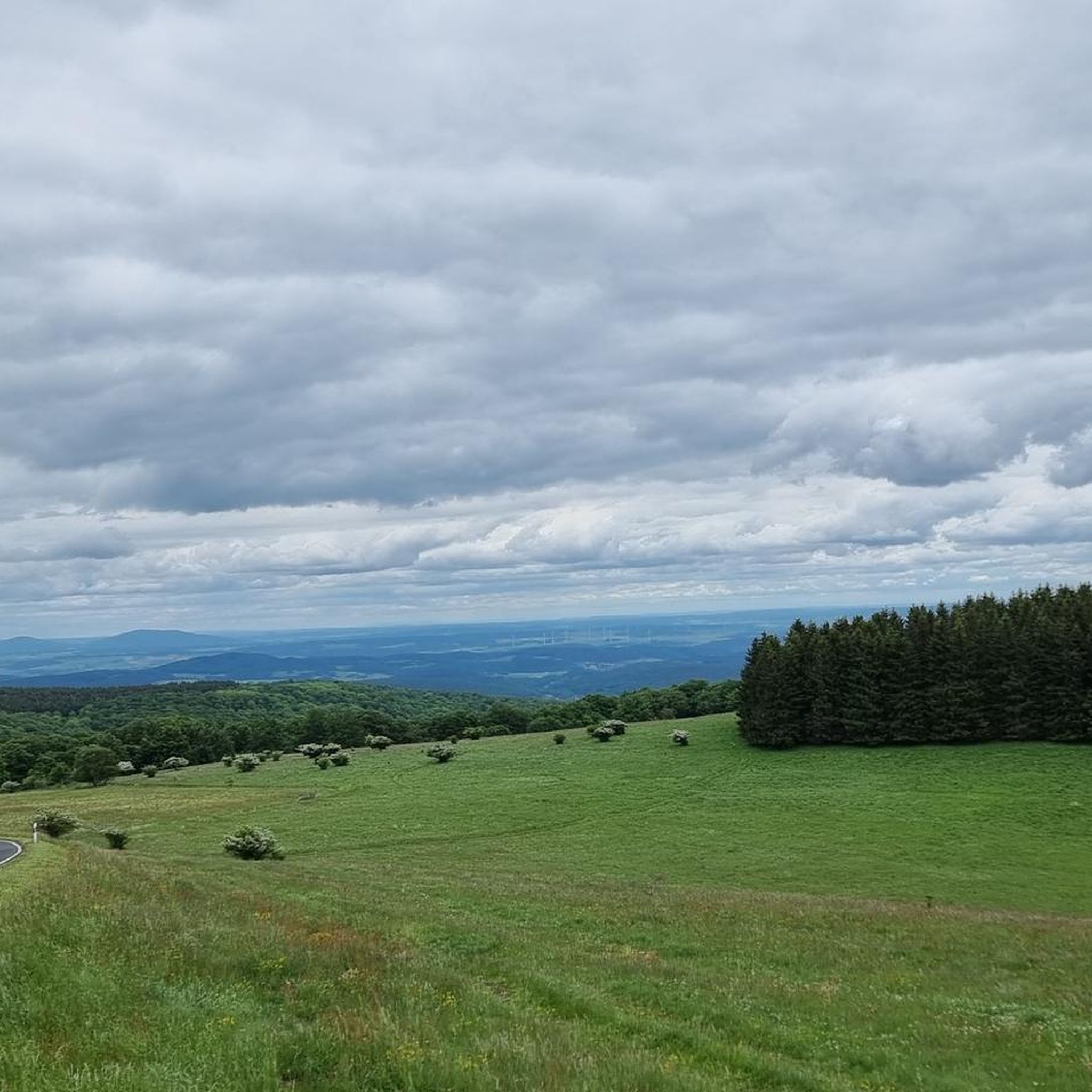
Hiking around Oberelsbach
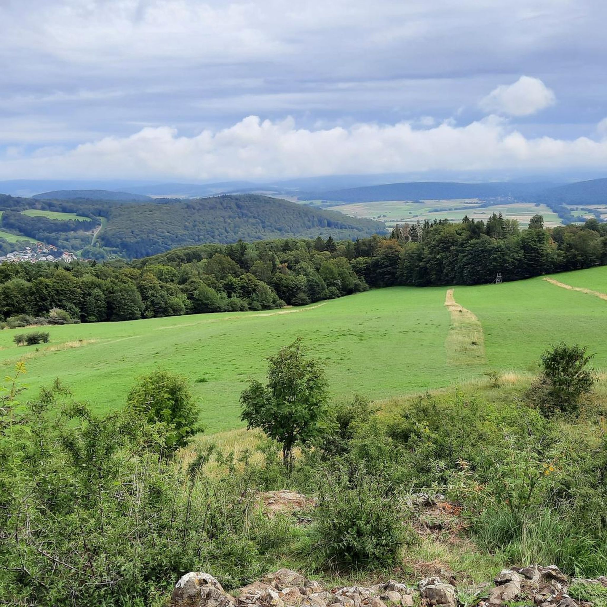
Cycling around Oberelsbach
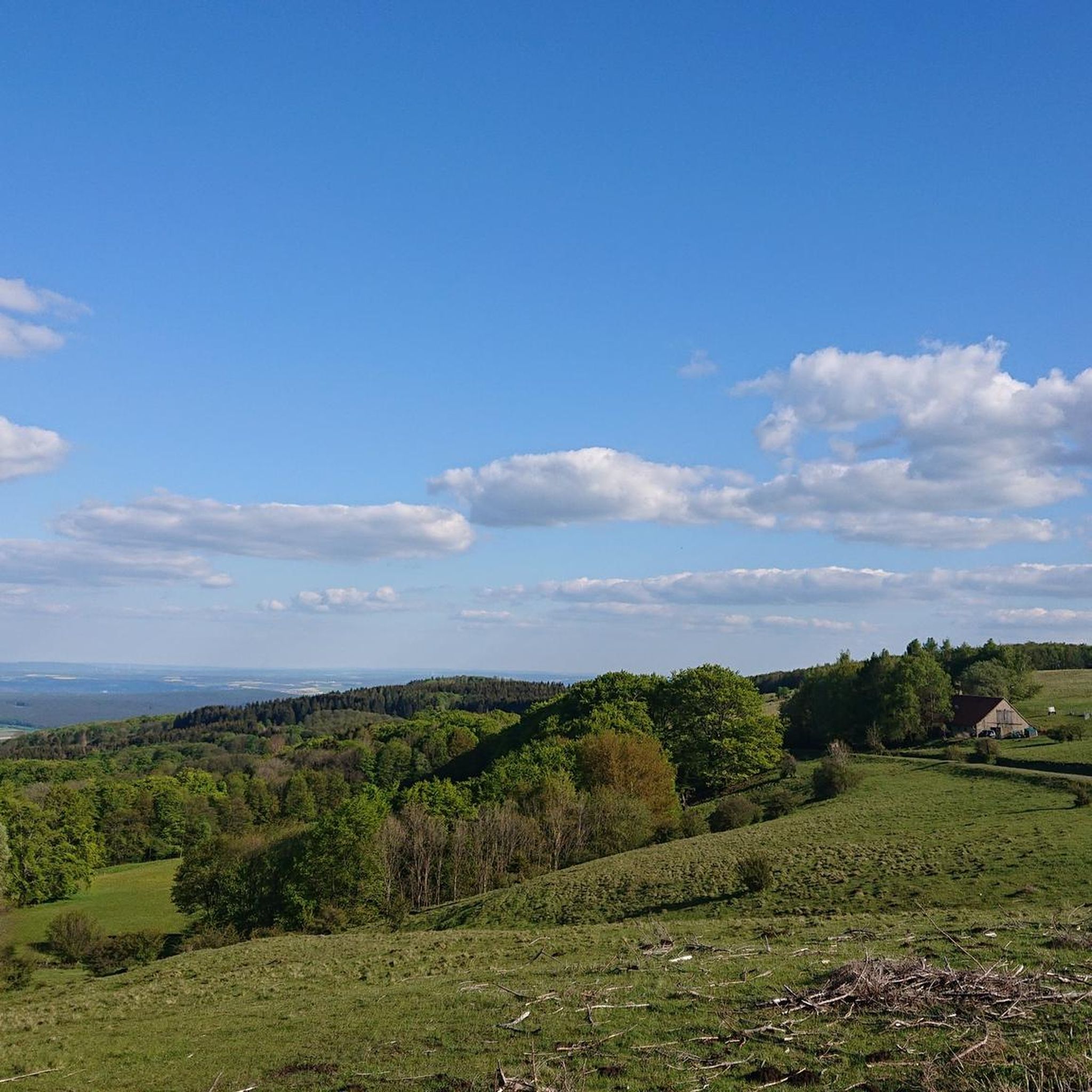
Road Cycling Routes around Oberelsbach
MTB Trails around Oberelsbach

Gravel biking around Oberelsbach
Other adventures around Oberelsbach

Tips from the Community

Fine patch of earth with the opportunity to rest... a place of reflection
9
0
A great place to rest in slightly finer winter weather
15
0
A place of silence and reflection…
13
0
Here, on the fourth highest mountain in the Rhön, the Hessian-Bavarian border runs... from here, if the weather is good, you can see the Lange Rhön. At the summit, there is a German Telekom transmission tower that can be seen from far away.
12
0
Gladly accepted parking area for hikers incl. lots of maps at the Holzwand for orientation
14
0
Here was once a small village called Mohr… people lived in very poor conditions… today a linden tree still reminds us of the former village square
15
0
In addition to food and a warm place, there is also a lot of interesting information about the moor... highly recommended... and you can park right outside the door... for a fee
15
0

Very nice path to the Ulsterquelle
0
0
Frequently Asked Questions
What kind of terrain can I expect on running routes around Oberelsbach?
The Rhön Mountains around Oberelsbach offer a diverse range of terrain, from gentle, accessible paths to more challenging trails with significant elevation changes. You'll encounter unforested heights, rolling hills, varied valleys, and even unique basalt forests and dark moors, providing a constantly changing backdrop for your run.
Are there many running routes available in Oberelsbach?
Yes, komoot lists over 35 running routes around Oberelsbach. This includes a variety of options, with 3 easy routes, 28 moderate routes, and 8 difficult routes, ensuring there's something for every fitness level.
What do other runners say about the trails in Oberelsbach?
The running routes in Oberelsbach are highly rated by the komoot community, with an impressive average score of 4.9 out of 5 stars from over 40 reviews. Runners often praise the expansive landscapes, panoramic views, and the diverse natural beauty of the Rhön Biosphere Reserve.
Are there any easy running routes suitable for beginners or a relaxed jog?
Absolutely. For a more relaxed experience, consider routes like the Start of the Saueiche Run – Unterelsbach Village loop from Unterelsbach. This moderate 5.66 km (3.5 miles) path offers a pleasant run with manageable elevation, perfect for beginners or a leisurely pace.
Can I find long-distance running trails in the Oberelsbach area?
Yes, the region is excellent for longer runs. The famous Hochrhöner Trail, considered one of Germany's most beautiful hiking trails, passes near Oberelsbach and offers premium routes suitable for long-distance running. An example of a longer route is the Rhönklub Memorial Site – View of the Lange Rhön loop from Kesselrain, which is 17.3 km (10.8 miles) and offers extensive views.
What natural features or landmarks can I see while running in Oberelsbach?
While running, you'll experience the 'land of endless horizons' with vast mountain meadows, especially in the Lange Rhön. Keep an eye out for unique rock formations like the Sprinzelsfelsen, and enjoy panoramic views from the less wooded peaks. You might also encounter areas with gnarled old beech trees and dark moors. For specific points of interest, consider exploring highlights like the Eisgraben Nature Reserve.
Are there any interesting caves or historical sites near the running paths?
Yes, the area around Oberelsbach features several intriguing caves and historical sites. You could explore the mysterious Teufelskeller (Devil’s Cellar) or the Women's Cave (Klefallsloch). For a glimpse into the region's mining history, the Moritz Visitor Mine (Lignite Tunnel) is also nearby.
Are there any huts or places to rest along the running routes?
Yes, the Rhön region has several huts that can serve as rest stops or destinations. Examples include the Gemündener Hut, the Enzian Hut, or the Thuringian Hut. These can be great spots to refuel or simply enjoy the scenery.
What is the best season for running in Oberelsbach?
The Rhön Mountains offer beautiful running conditions throughout much of the year. Spring brings blooming wildflowers like orchids and arnica to the mountain meadows, while autumn showcases vibrant foliage. The expansive, less wooded heights provide stunning panoramic views, making it enjoyable in various seasons, though checking local weather is always recommended.
Are there running routes that offer views of the famous Lange Rhön?
Many routes in the Oberelsbach area provide excellent views of the Lange Rhön, Bavaria's largest out-of-alpine nature reserve. The Rhönklub Memorial Site – View of the Lange Rhön loop from Kesselrain is specifically designed to showcase these iconic landscapes and their vast mountain meadows.
Can I find circular running routes in Oberelsbach?
Yes, many of the running routes around Oberelsbach are circular, allowing you to start and end at the same point. For instance, the Golden Spring – Ulster Spring loop from Kesselrain is a popular moderate circular route covering 11.4 km (7.1 miles).
Most popular routes around Oberelsbach
Most popular attractions around Oberelsbach

Get inspired with the komoot mobile app


Explore more
Browse the best Running Trails & Routes in other regions.
