The best running trails around Rannungen
4.5
(561)
6,063
runners
376
runs
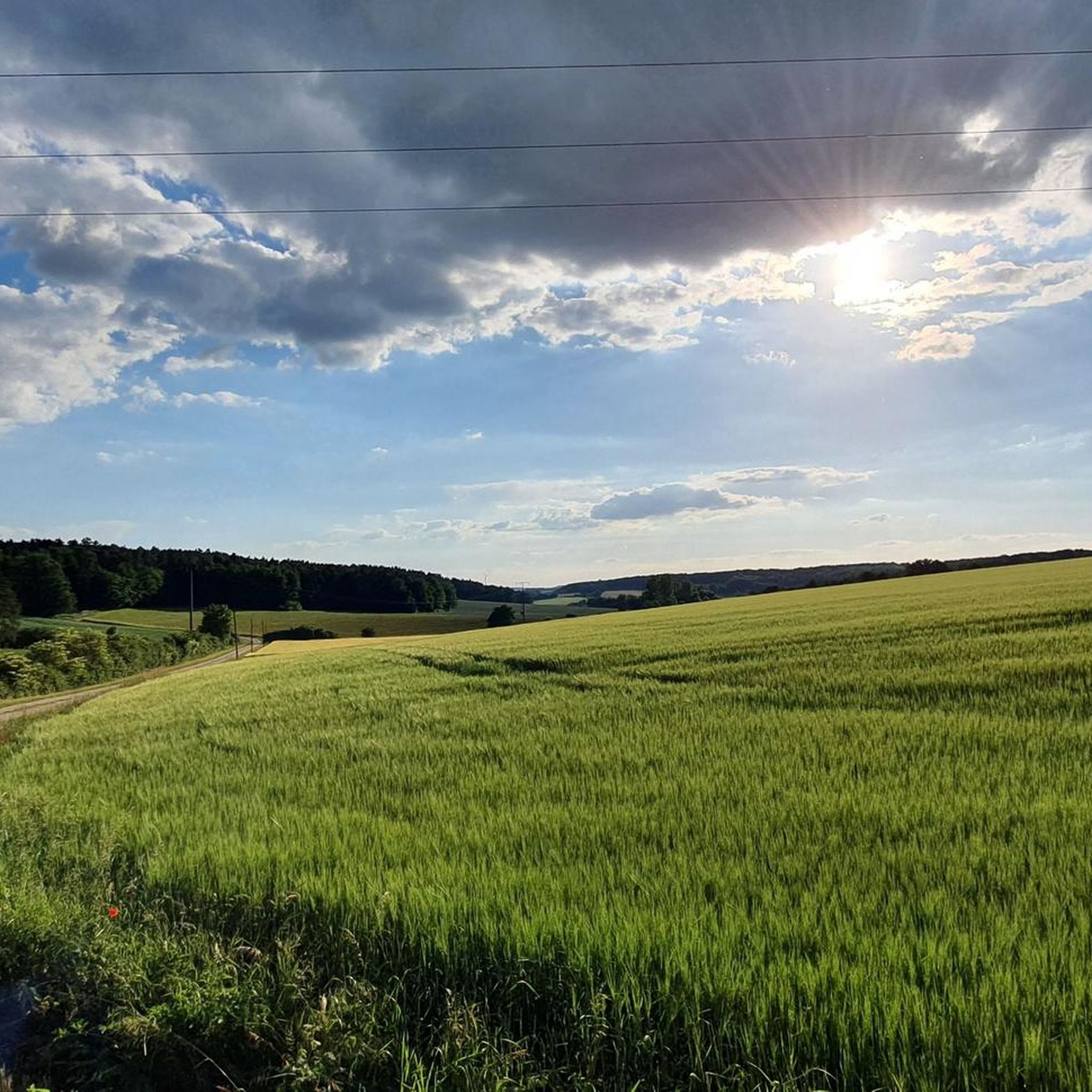
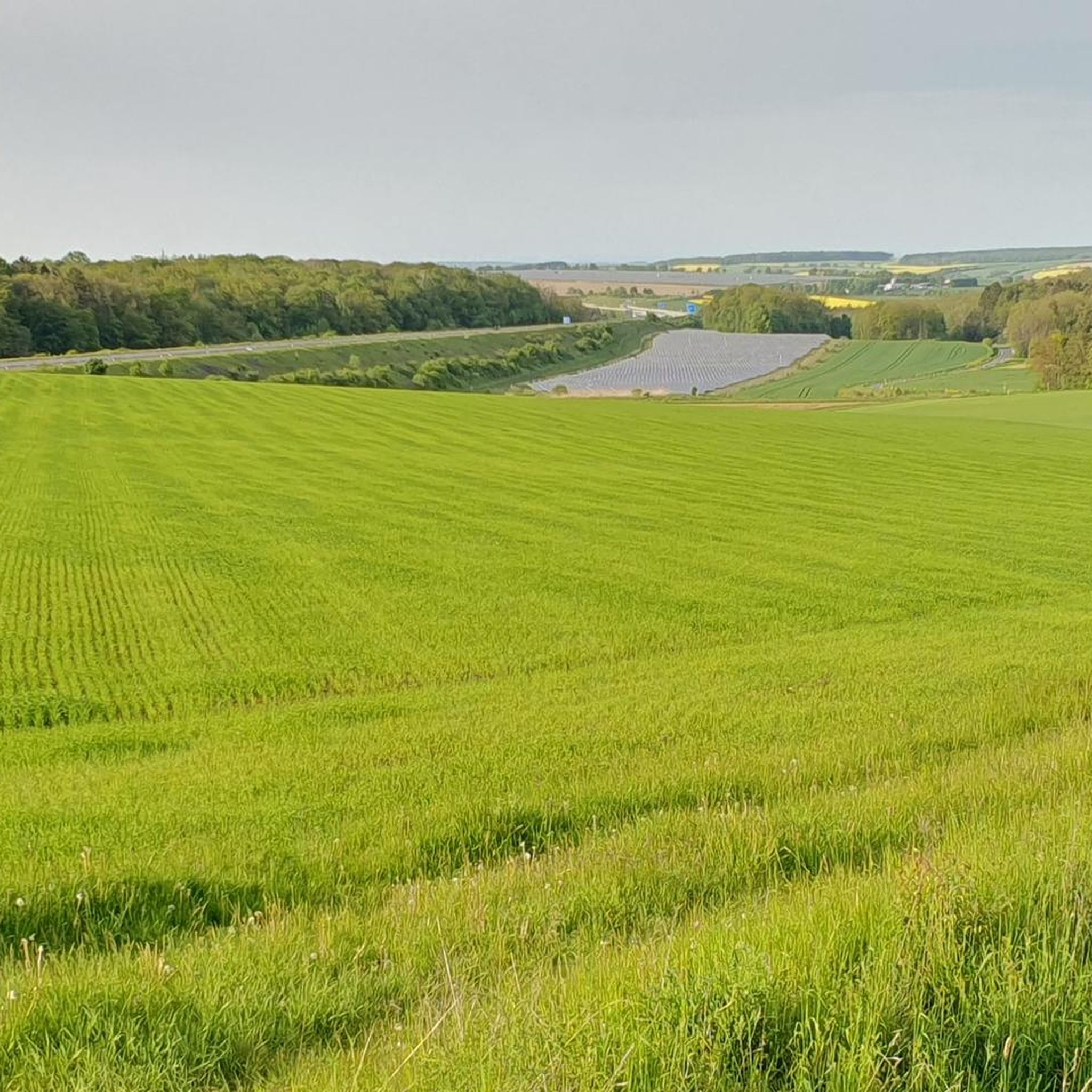
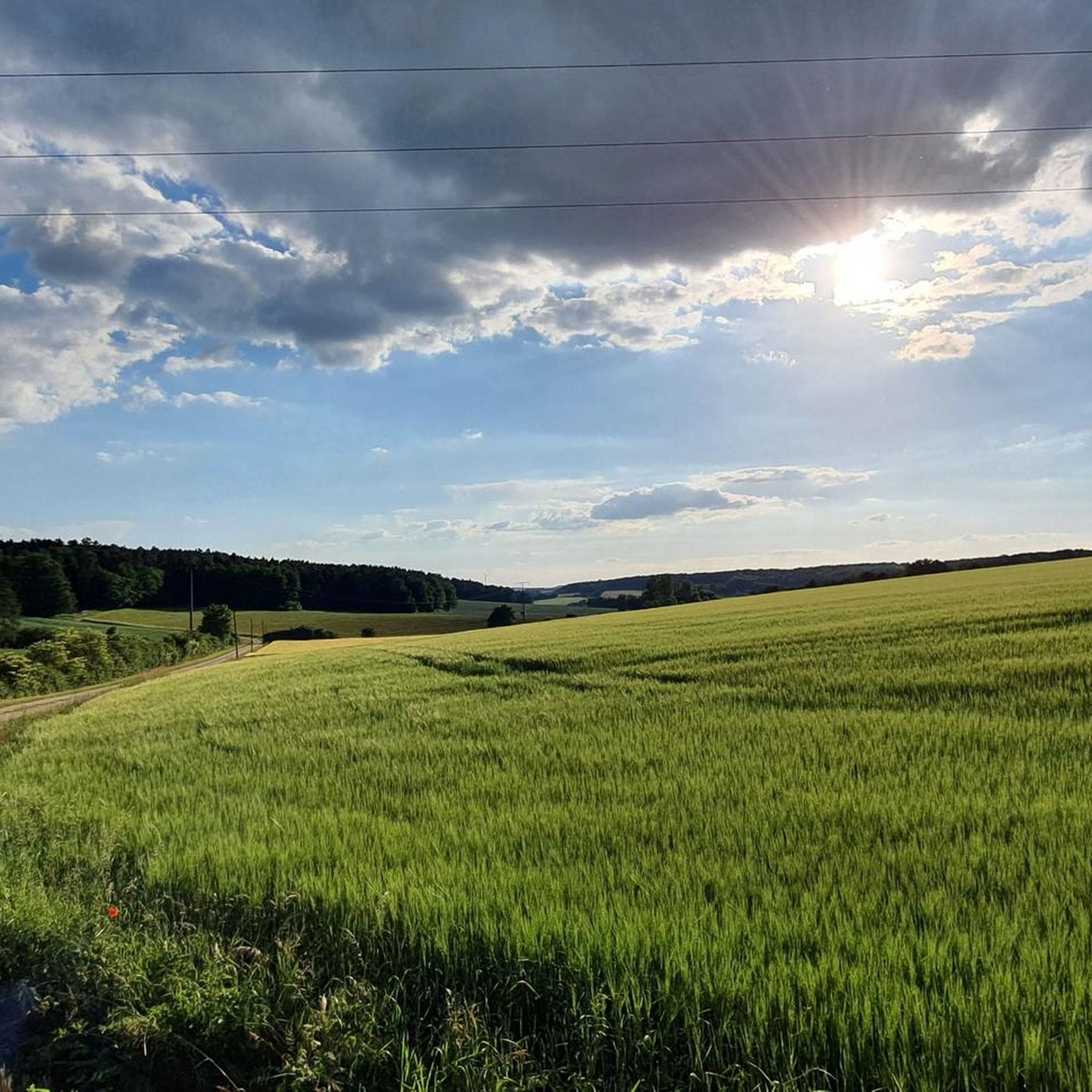
Jogging around Rannungen offers diverse natural landscapes, including gently rolling hills, deep forests, and the meandering Franconian Saale river valley. The region is characterized by varied terrain, providing both accessible paths and more challenging trails with moderate elevations. Runners can explore areas within the broader Landkreis Bad Kissingen, featuring the low mountain ranges of the Rhön and scenic views from basaltine hilltops.
Best jogging routes around Rannungen
- The most popular jogging route is Running loop from Rannungen, a 5.8…
Last updated: July 16, 2026
5.0
(3)
30
runners
9.38km
01:05
110m
110m
Moderate run. Good fitness required. Mostly paved surfaces. Suitable for all skill levels.
4.0
(4)
18
runners
13.7km
01:27
140m
140m
Moderate run. Good fitness required. Mostly paved surfaces. Suitable for all skill levels.

Sign up for free
4.0
(4)
17
runners
Moderate run. Good fitness required. Mostly paved surfaces. Suitable for all skill levels.
4.5
(6)
12
runners
Moderate run. Good fitness required. Mostly paved surfaces. Suitable for all skill levels.
11
runners
6.45km
00:41
60m
60m
Moderate run. Good fitness required. Mostly paved surfaces. Suitable for all skill levels.
Get access to more routes and recommendations from other explorers.
Sign up for free
Already have an account?
Our route recommendations are based on thousands of hikes, rides, and runs completed by other people on komoot.
Start today with a free account
Your next adventure awaits.
Login or Signup
Tips from the Community

Opposite in the forest there is a relaxation bench with a view of the grotto, enjoy the peace and quiet and say thank you for every day that you are healthy.
0
0

This Marian Grotto was built in 1987.
0
0
Frequently Asked Questions
How many running routes are available around Rannungen?
Rannungen boasts an extensive network of running trails, with over 370 documented routes. These range from easy paths suitable for beginners to more challenging trails for experienced runners.
What kind of terrain can I expect on the jogging trails in Rannungen?
The region around Rannungen offers diverse natural landscapes. You can expect gently rolling hills, deep forests, and sections along the meandering Franconian Saale river valley. The terrain provides a mix of accessible paths and more challenging routes with varied elevations, including views towards the low mountain ranges of the Rhön.
Are there any easy or beginner-friendly running routes in Rannungen?
Yes, Rannungen offers a good selection of easy running routes. There are 44 trails specifically categorized as easy, perfect for beginners or those looking for a relaxed run. These paths typically feature gentler climbs and less demanding terrain.
Can I find circular running routes in the Rannungen area?
Many of the running routes around Rannungen are designed as circular paths, allowing you to start and finish at the same point. An example is the Running loop from Rannungen, which is a moderate 9.4 km trail with gentle climbs through the local landscape.
What are some notable natural features or landmarks I might see while running near Rannungen?
While jogging, you might encounter various natural features and points of interest. The broader area includes highlights such as the Wichtelhöhlen Rock Formations and the scenic Kaskadental. The region is also known for its diverse landscapes, from forests to open meadows.
Are there any running routes suitable for families with children?
While specific 'family-friendly' routes are not explicitly tagged, many of the easy and moderate trails with less elevation gain would be suitable for families. The diverse scenery and well-maintained paths make for enjoyable outings. For example, the Diptam Meadow – Massberg loop from Die Honigbiene / Bienenleistungen is a moderate 8.0 km trail through a mix of open and wooded areas that could be a good option.
Are dogs allowed on the running trails in Rannungen?
Generally, dogs are welcome on most public trails in the Rannungen area, especially in natural settings like forests and open fields. However, it's always advisable to keep them on a leash, especially near wildlife or in agricultural areas, and to respect local regulations. Always carry bags to clean up after your pet.
Where can I find parking near the running trails in Rannungen?
Many running routes in Rannungen and the surrounding villages offer convenient parking options, often near trailheads or local sports facilities. For instance, the 'Wald- und Naturlauf 21' half-marathon starts and finishes at the Rannungen sports field, indicating available parking in that vicinity. Specific route descriptions on komoot often provide details on parking availability.
What is the best time of year to go running in Rannungen?
Rannungen offers excellent running conditions throughout much of the year. Spring and autumn provide pleasant temperatures and beautiful scenery with blooming nature or vibrant fall colors. Summer is also great, especially in the mornings or evenings, with shaded forest paths offering respite from the heat. Winter running is possible, but trails might be icy or muddy, so appropriate footwear is recommended.
What do other runners say about the trails in Rannungen?
The running routes in Rannungen are highly regarded by the komoot community, with an average score of 4.5 stars from over 470 reviews. Runners often praise the varied terrain, the natural beauty of the landscapes, and the well-maintained paths that cater to different ability levels. Over 5000 runners have used komoot to explore the area's diverse trails.
Are there any longer, more challenging running routes for experienced runners?
Yes, for experienced runners seeking a greater challenge, Rannungen offers several longer and more demanding routes. For example, the Diptam Meadow – Massberg loop from Rannungen is a moderate 13.7 km path with varied scenery and elevation changes, providing a good workout. There are 74 routes categorized as difficult in the region for those looking for significant elevation gains.
Can I reach the running trails using public transport?
Rannungen and its surrounding towns are connected by local bus services within the Landkreis Bad Kissingen. While direct access to every trailhead might vary, public transport can get you to the general vicinity of many routes. It's advisable to check local bus schedules for specific connections to Rannungen and nearby villages like Rottershausen, which also features running routes such as the Rottershausen Skate Park loop.
Most popular routes around Rannungen
Most popular attractions around Rannungen

Get inspired with the komoot mobile app


Explore more
Browse the best Running Trails & Routes in other regions.
