The best walks and hikes around Cross
4.6
(133)
793
hikers
26
hikes
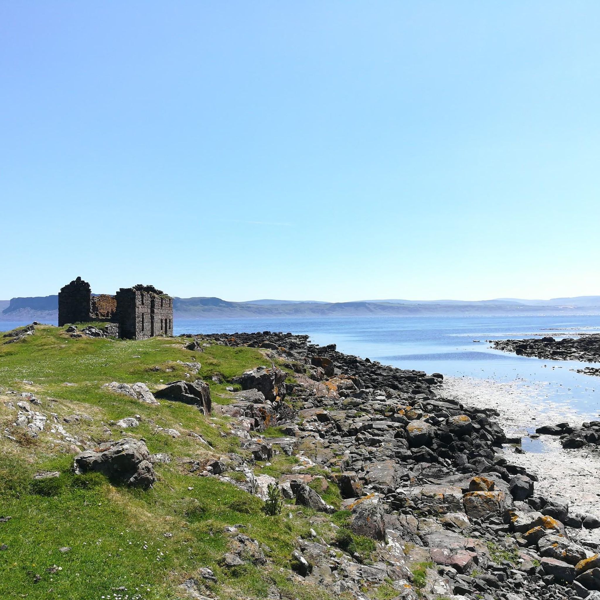
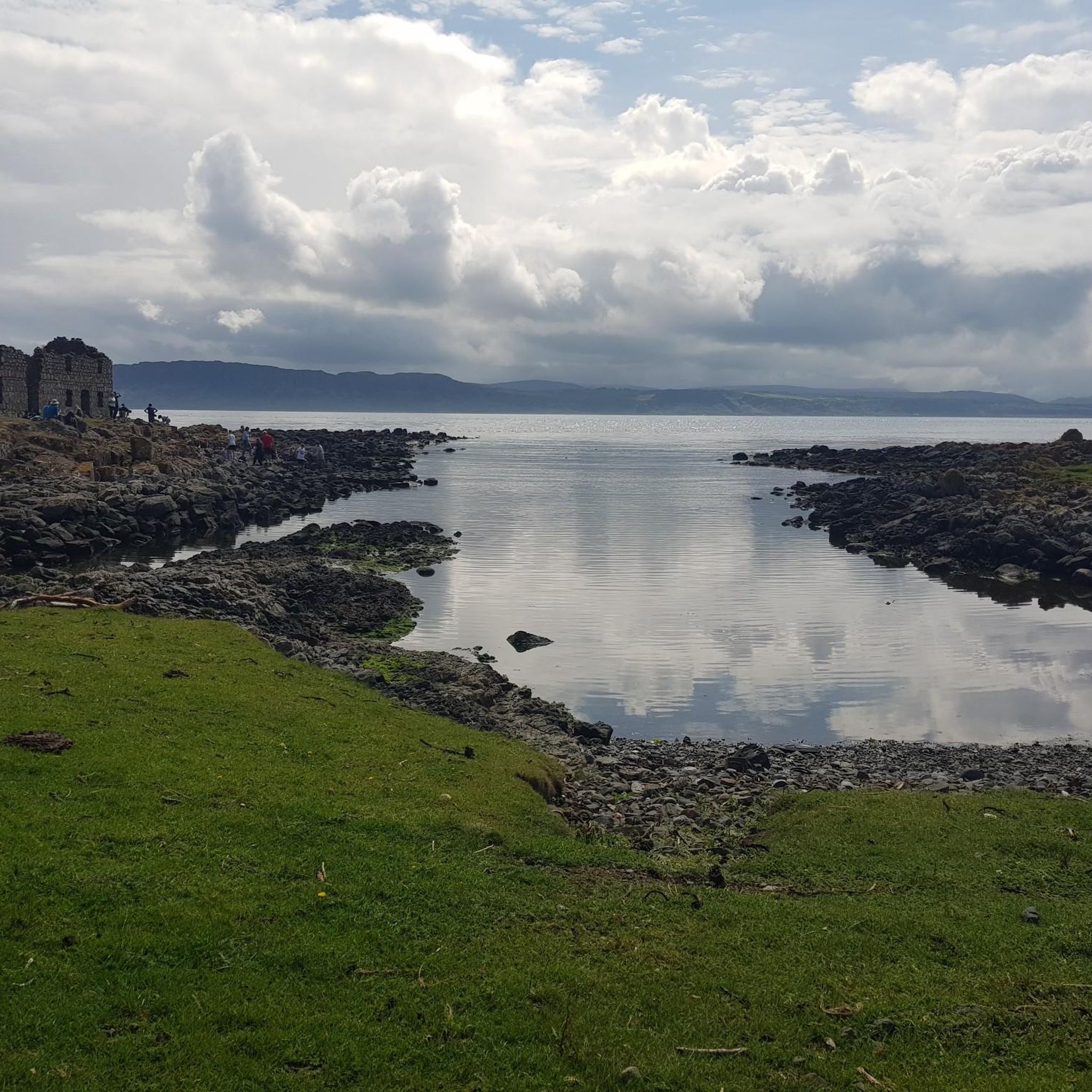
Hiking around Cross explores the landscape of the Antrim Coast & Glens in Northern Ireland. The region is characterized by coastal paths offering views of the sea and nearby islands, alongside routes that ascend local hills. The terrain includes a mix of established trails and open countryside, with elevations reaching over 1,600 feet (500 meters) on more challenging hikes.
Best hiking trails in Cross
- The most popular hiking route is View of Ballycastle – View of Rathlin Island loop from…
Last updated: August 5, 2026
4.7
(29)
158
hikers
7.76km
02:10
150m
150m
Embark on the Fairhead Loch Na Crannóige Walk, a moderate hike spanning 4.8 miles (7.8 km) with an elevation gain of 507 feet (155 metres), typically completed in 2 hours…
4.8
(15)
81
hikers
3.57km
01:00
70m
70m
Easy hike. Great for any fitness level. Easily-accessible paths. Suitable for all skill levels.

Sign up for free
4.7
(11)
29
hikers
19.5km
05:19
280m
280m
Hard hike. Very good fitness required. Easily-accessible paths. Suitable for all skill levels.
4.0
(3)
13
hikers
7.81km
02:23
270m
270m
Moderate hike. Good fitness required. Easily-accessible paths. Suitable for all skill levels.
5.0
(1)
2
hikers
8.35km
02:16
120m
120m
Moderate hike. Good fitness required. Easily-accessible paths. Suitable for all skill levels.
Get access to more routes and recommendations from other explorers.
Sign up for free
Already have an account?
Our route recommendations are based on thousands of hikes, rides, and runs completed by other people on komoot.
Start today with a free account
Your next adventure awaits.
Login or Signup
Popular around Cross

Tips from the Community

There is a parking lot right next to the church.
3
0

Two menhirs (standing stones) in the cemetery of the church built in 1831. One of them is almost 3 meters tall, the other 1.6 meters.
4
0

One of the real classic seacliff climbing areas with decades of histors and the tradiitonal climbing meet-up on the first weekend in June.
1
0

Close to Northern Ireland's most northerly point, Fair Head has brilliant views of Scotland and Rathlin Island. Stunning on a clear day, fearsome when the weather sets in!
3
0

From here, you can enjoy fantastic views of the beautiful Rathlin Island, located off the northeast coast of Ireland (and Ireland's most northern point).
4
0

don't go too close to the cliffs, but stunning views
1
0

Accessible by ferry from Ballycastle.
1
2
Fair Head is a cliff top approximately 3 miles long and 200m high with sweeping views of Ballycastle.
2
0
Frequently Asked Questions
How many hiking trails are there around Cross?
There are over 25 hiking trails to explore around Cross, offering a great variety for different fitness levels. This includes 12 easy routes, 9 moderate trails, and 5 that are considered difficult.
Are there any easy, family-friendly hikes in the area?
Yes, there are several options suitable for families. A great choice is the View of Ballycastle – View of Rathlin Island loop from Cross. It's a relatively short walk at just over 2 miles (3.5 km) and offers lovely coastal views without much difficult climbing.
What do other hikers think of the trails around Cross?
The trails in this region are highly regarded by the komoot community. Hikers often praise the stunning coastal scenery and the mix of accessible paths and more rugged hill climbs across the Antrim Coast & Glens.
Can I find any challenging hikes for experienced walkers?
Absolutely. For a more demanding day out, consider the Ballycastle to Knocklayd route. It's a longer trek of nearly 9 miles (14 km) and involves a significant ascent of over 500 meters, rewarding you with expansive views across the open countryside.
Are there any circular walks available?
Yes, many routes are designed as loops so you can start and end in the same place. The Fairhead Loch Na Crannóige Walk is a popular moderate circular trail that takes you around a scenic lake.
What kind of scenery can I expect when hiking around Cross?
The landscape is defined by the dramatic Antrim Coast & Glens. You can expect beautiful coastal paths with views over the sea towards Rathlin Island, combined with hikes that take you up into rolling hills and open moorland for panoramic vistas.
Is it possible to hike to the top of Knocklayd?
Yes, there are routes that lead to the summit of Knocklayd. A more direct but steep option is the Knocklayd from Drumavoyle Road trail. This challenging hike is under 3 miles but involves a climb of over 330 meters.
What should I pack for a day hike in Cross?
For any hike, you should bring water, snacks, and a fully charged phone. Given the coastal and upland terrain, weather can change quickly. It's essential to wear sturdy hiking boots and pack waterproof layers, even if the day starts sunny.
Are the trails dog-friendly?
Many trails in open countryside are suitable for hiking with dogs. However, some routes may cross farmland with livestock. Always check for local signage, keep your dog on a lead where required, and ensure they are comfortable with the terrain and distance.
Are there any very long-distance hikes for a full day's adventure?
Yes, for those seeking a long and rewarding challenge, the View of Ballycastle – View of Rathlin Island loop from Ballintoy is an excellent choice. This difficult trail covers over 12 miles (19.5 km) and will take a significant part of the day, offering extensive coastal views along the way.
Most popular routes around Cross
Most popular attractions around Cross

Get inspired with the komoot mobile app


Explore more
Browse the best Hikes in other regions.
