The best walks and hikes around Landquart
4.6
(12350)
77,738
hikers
357
hikes
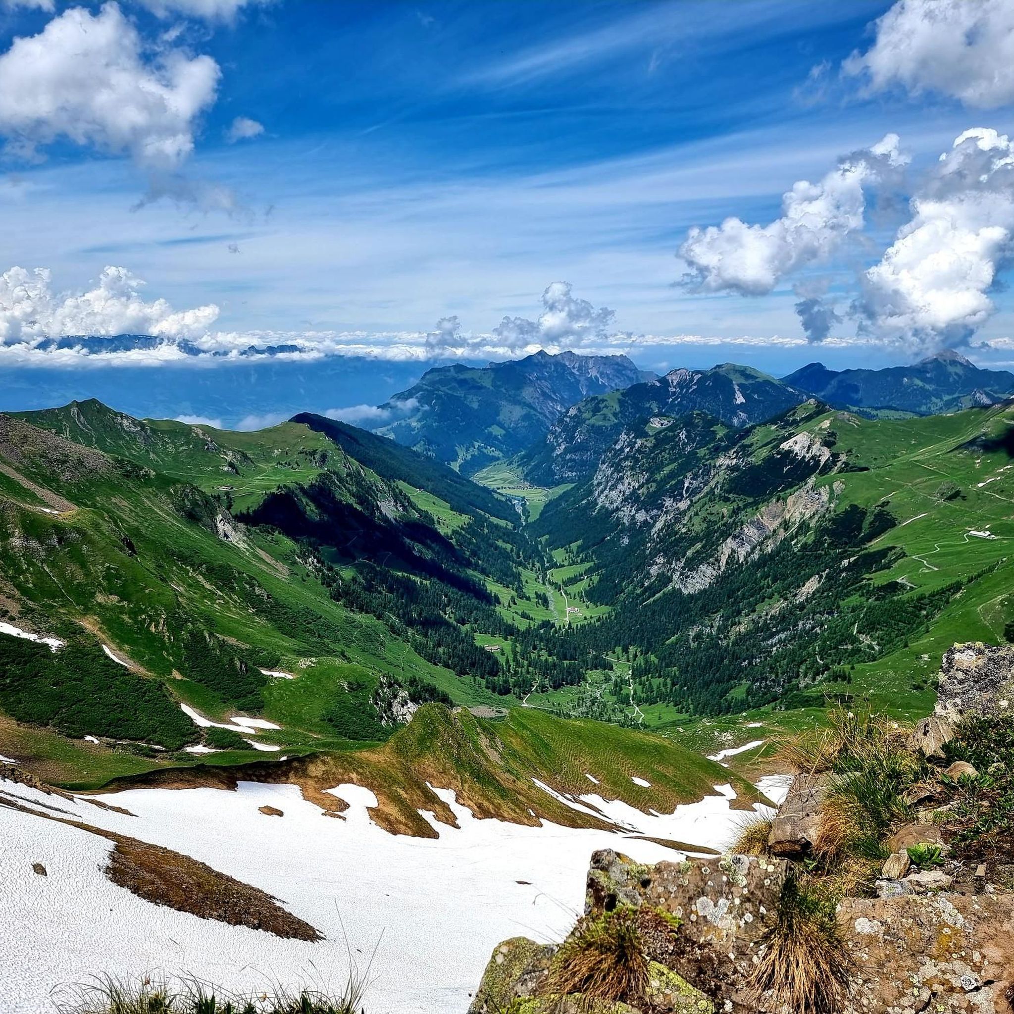
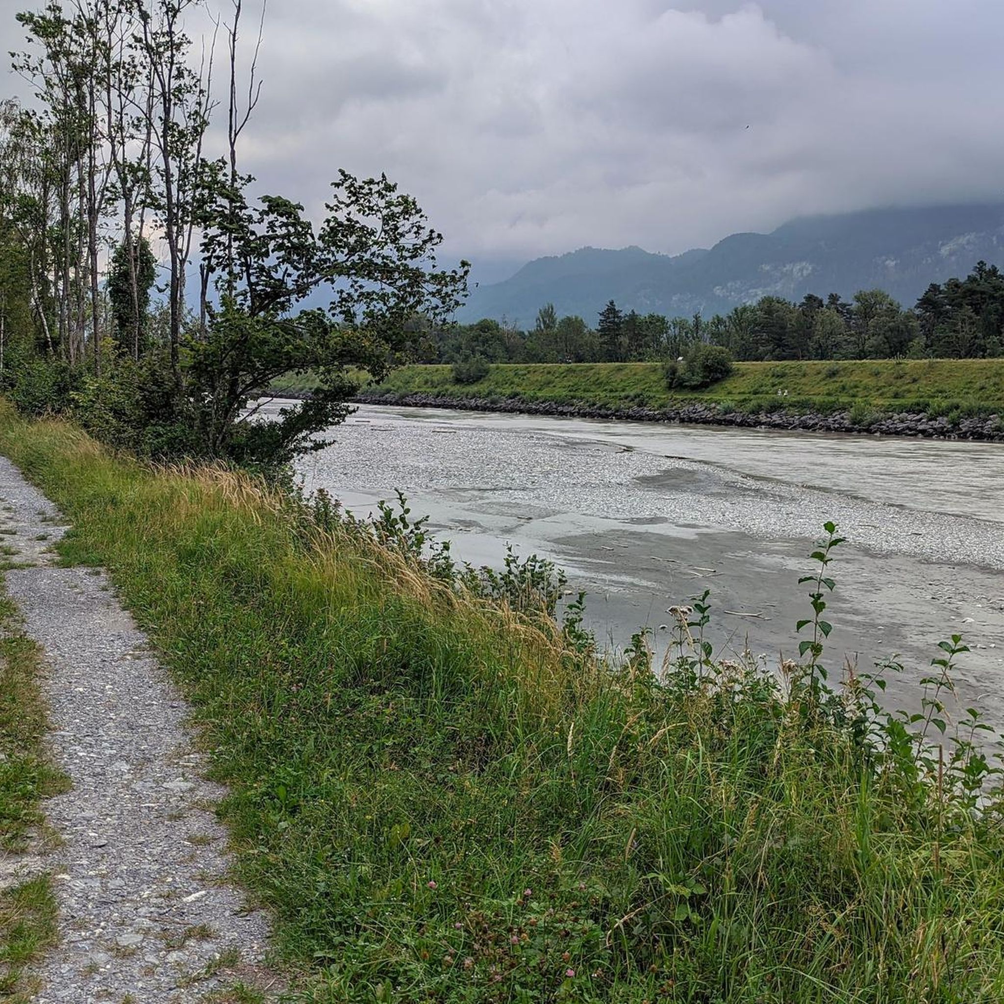
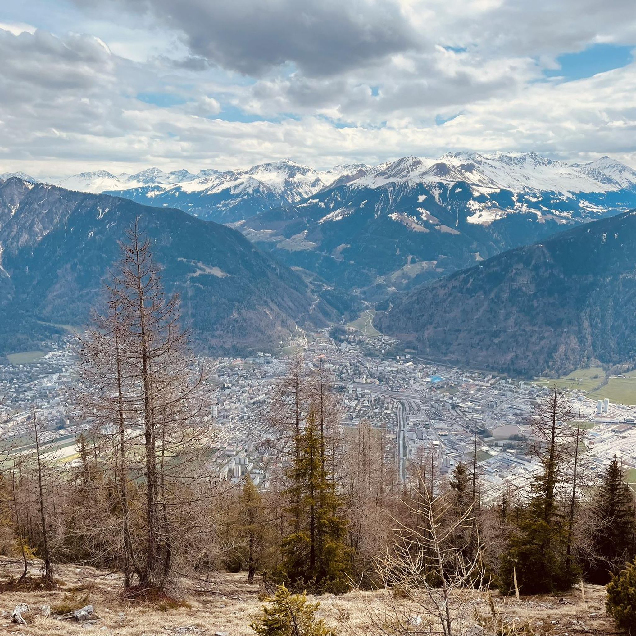
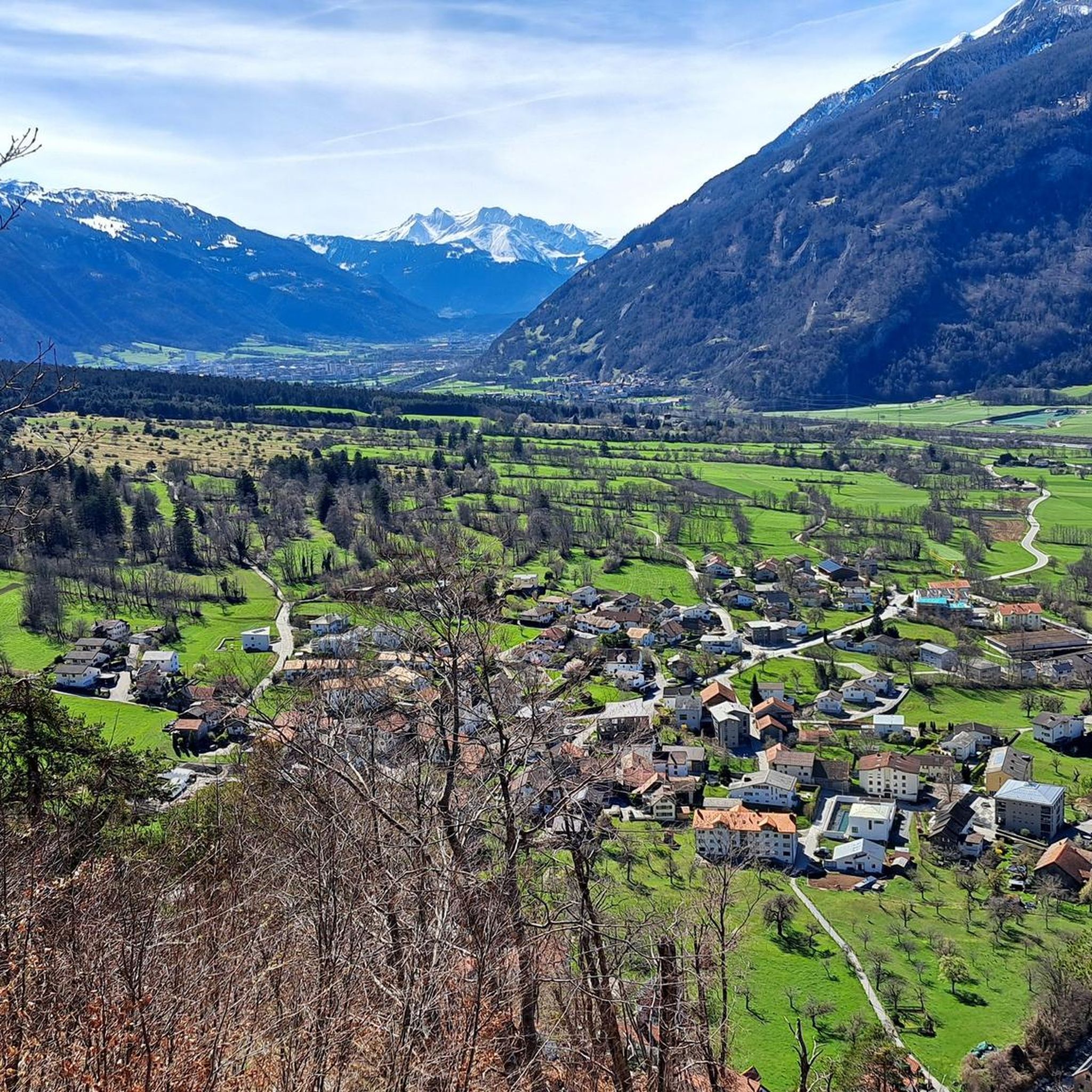
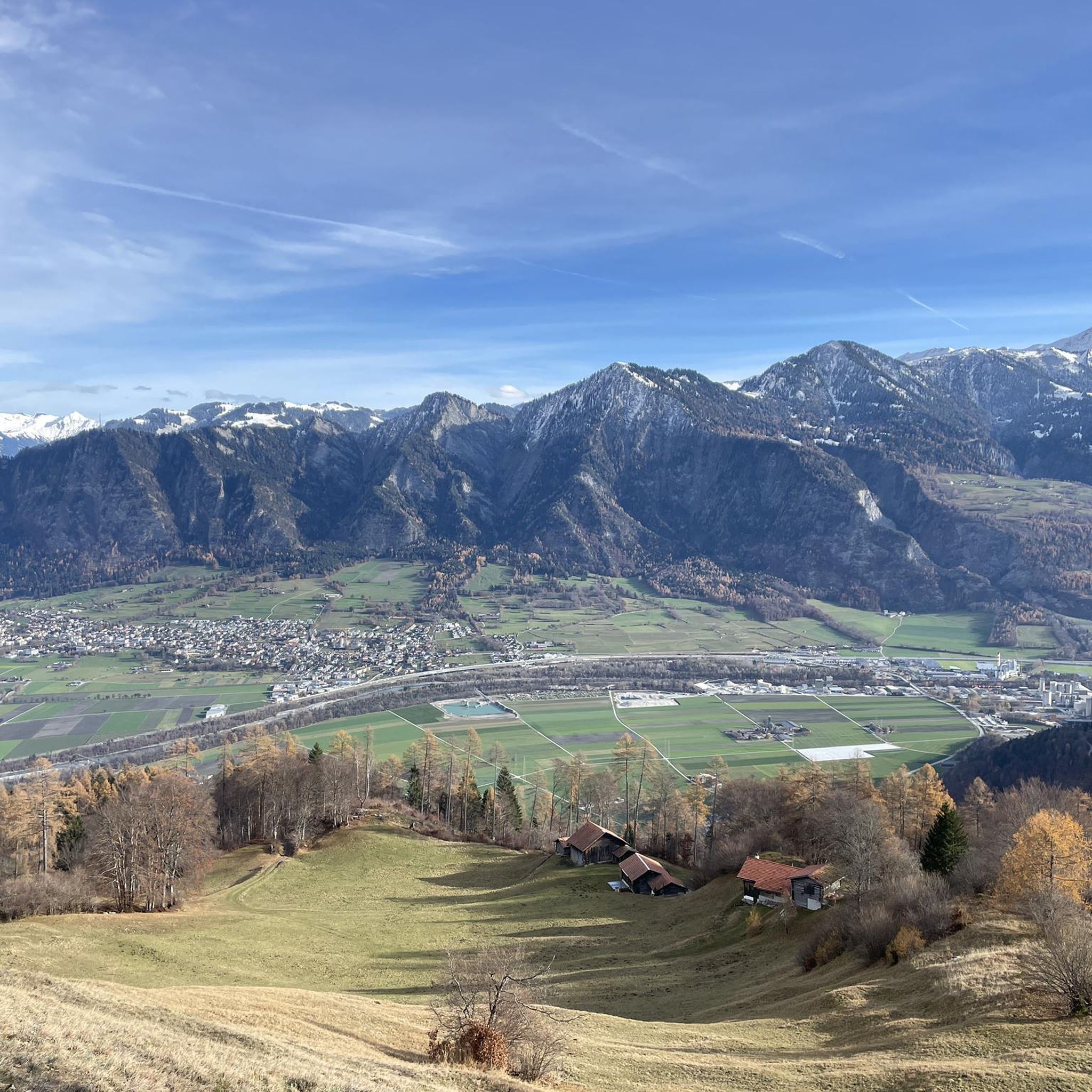
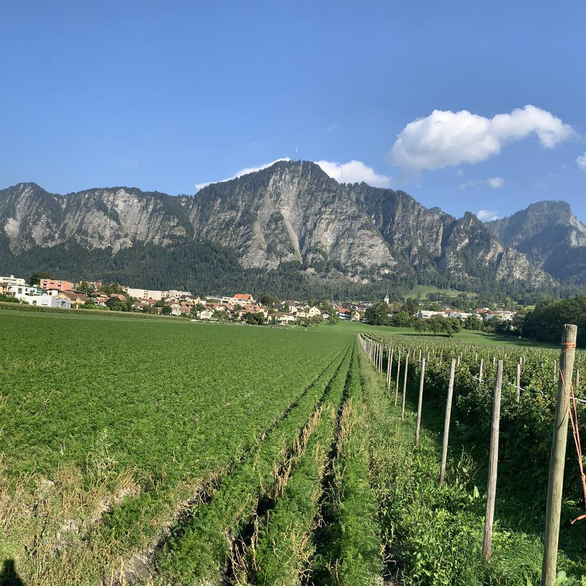
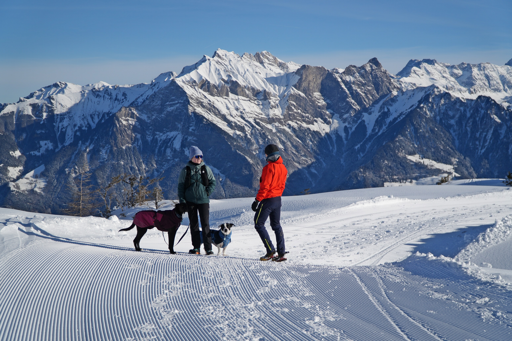
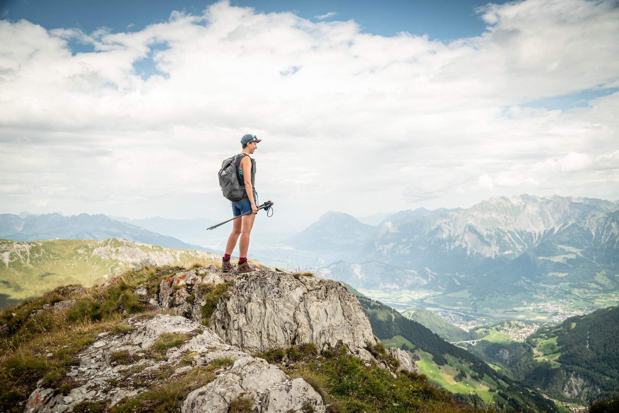
Hiking trails around Landquart, situated in the Swiss canton of Graubünden, traverse a varied landscape characterized by mountainous terrain, serene valleys, and alpine meadows. The region offers views of the Rätikon and Silvretta mountain ranges, providing a dramatic backdrop for many routes. The Landquart River carves through the landscape, with numerous trails following its course through forests and riverine environments. These diverse natural features offer options for various hiking preferences and skill levels.
Best hiking trails around Landquart
- The most popular hiking route is Sprecherhof, Maienfeld – Heidi Village Maienfeld loop from Maienfeld, a 3.7 miles (6.0 km) trail that takes 1 hour 47 minutes to complete. This easy path explores the area around the well-known Heidi Village.
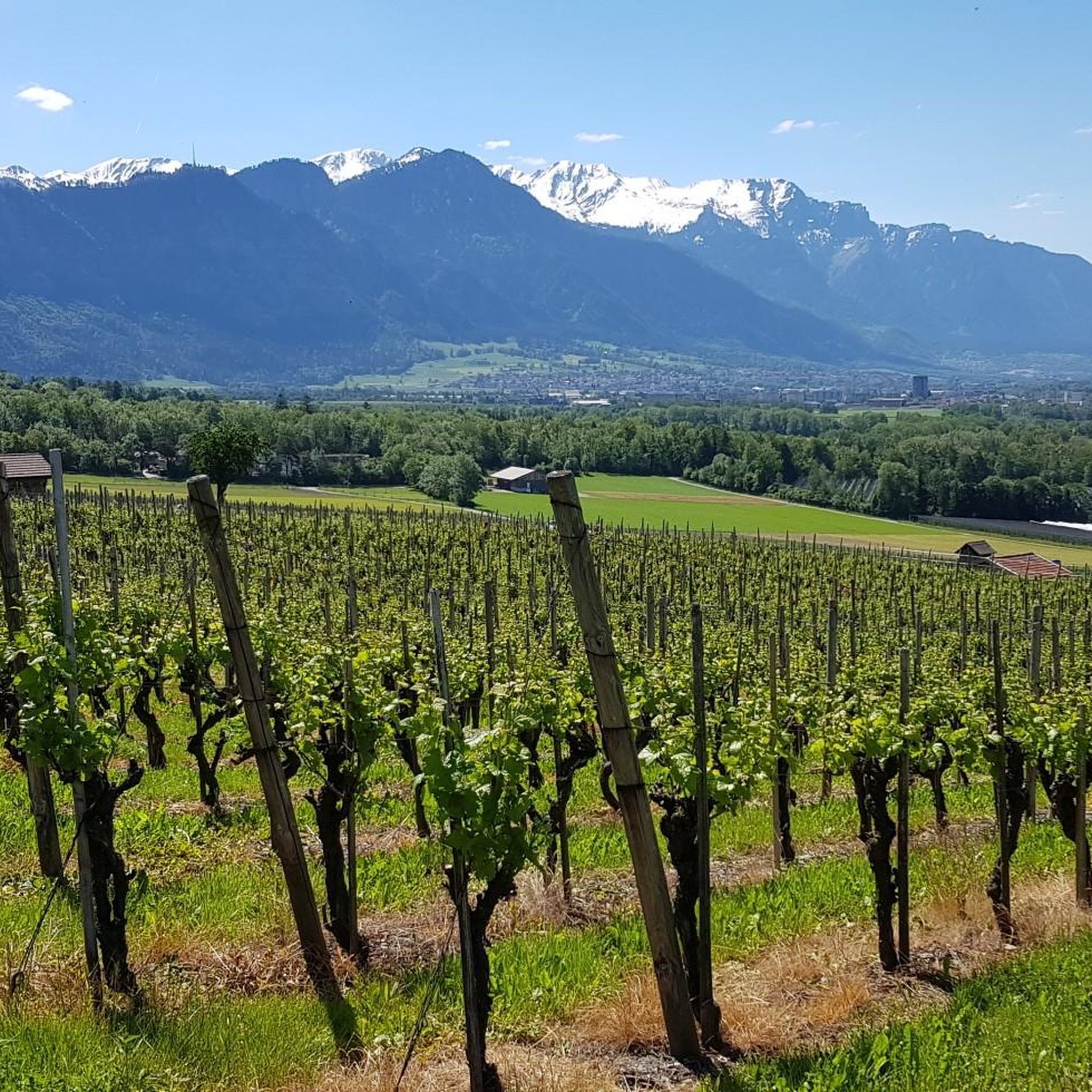
- Another top favourite among local hikers is Maienfeld-Fläsch wine round, a moderate 7.0 miles (11.3 km) path. This route leads through vineyards and offers views of the surrounding agricultural landscape.
- Local hikers also love the Malans-Jenins wine round, a 6.5 miles (10.5 km) trail leading through wine-growing areas, often completed in about 2 hours 51 minutes.
- Hiking around Landquart is defined by views of the Rätikon and Silvretta mountain ranges, paths along the Landquart River, and trails through alpine meadows and forests. The network offers options for different ability levels, from easy strolls to more challenging ascents.
- The routes in Landquart are highly rated by the komoot community with an average score of 4.7 stars from over 1500 reviews. More than 11000 hikers have used komoot to explore Landquart's varied terrain.
Last updated: October 23, 2026
4.3
(12)
76
hikers
11.3km
03:04
160m
160m
Moderate hike. Good fitness required. Easily walkable paths.
4.6
(22)
91
hikers
10.5km
02:51
150m
150m
Moderate hike. Good fitness required. Easily walkable paths.

4.0
(7)
25
hikers
7.81km
02:26
280m
280m
Moderate hike. Good fitness required. Mostly walkable paths. Sure-footedness required.
4.9
(67)
410
hikers
9.33km
03:23
570m
570m
Moderate hike. Good fitness required. Easily walkable paths.
4.7
(39)
245
hikers
9.33km
03:09
470m
470m
Moderate hike. Good fitness required. Mostly walkable paths. Sure-footedness required.
4.9
(29)
193
hikers
6.00km
01:47
180m
180m
Easy hike. Easily walkable paths.
4.5
(23)
132
hikers
12.3km
04:13
630m
630m
Moderate hike. Good fitness required. Easily walkable paths.
4.6
(33)
217
hikers
Moderate hike. Good fitness required. Mostly walkable paths. Sure-footedness required.
4.7
(26)
182
hikers
16.1km
06:15
860m
860m
Hard hike. Very good fitness required. Mostly walkable paths. Sure-footedness required.
4.7
(23)
175
hikers
17.9km
07:37
1,050m
1,050m
Hard hike. Very good fitness required. Mostly walkable paths. Sure-footedness required.
Get access to more routes and recommendations from other explorers.
Already have an account?
Our route recommendations are based on thousands of hikes, rides, and runs completed by other people on komoot.
Start today with a free account
Your next adventure awaits.

Other adventures around Landquart


Tips from the Community

When you are in the Rhine Valley, no matter where you look, you are always looking into the Rhine Valley.
0
0
Parking for the lazy. Supposedly there are old trees there.
0
0
The only post office within a 10 km radius.
0
0
Lunch for seven. Waited more than 1 hour for the food after ordering. The food was then really very bad.
0
0
Many vineyards and a wonderful area. Of course, you don't just see the mountains from this spot.
0
0
Apprentice work at its finest. Not necessarily recommended for bikes, therefore easily passable for hikers.
0
0
Frequently Asked Questions
How many hiking trails are available in the Landquart region?
The Landquart region offers a wide variety of hiking opportunities, with over 370 routes available. These range from easy strolls through valleys to more challenging mountain ascents.
What is the best time of year to go hiking in Landquart?
The peak hiking season in Landquart is generally from June to September, when most trails are open and weather conditions are favorable. October also offers beautiful scenery with vibrant fall foliage.
Are there any easy, family-friendly hiking routes in Landquart?
Yes, Landquart has many easy trails suitable for families. A popular option is the Sprecherhof, Maienfeld – Heidi Village Maienfeld loop, an easy 3.7-mile (6.0 km) path that explores the area around the famous Heidi Village. Another gentle option is the route from Landquart to Küblis, which follows the Landquart River.
Where can I find trails with scenic viewpoints in Landquart?
For panoramic views, consider routes that lead to higher elevations. The Regitzer Spitz Viewpoint – View of Fläsch loop offers stunning vistas. You can also visit the Regitzer Spitz Viewpoint directly for expansive views of the surrounding landscape.
Are there any challenging day hikes for experienced hikers?
Experienced hikers seeking a challenge can explore routes in the Pizol Mountains or consider the Älplibahn Malans – Älplibahn Mountain Station loop, which involves significant elevation gain and offers rewarding views.
What kind of natural features can I expect to see on Landquart's hiking trails?
Landquart's trails showcase diverse natural beauty, including views of the Rätikon and Silvretta mountain ranges, paths along the Landquart River, and routes through alpine meadows and forests. You can also discover natural highlights like the Ellhorn Summit or the Rhine Rocks at the Southernmost Point of Liechtenstein.
Are there any circular hiking routes in the Landquart area?
Yes, many routes in Landquart are circular. Examples include the Maienfeld-Fläsch wine round and the Malans-Jenins wine round, both of which lead through picturesque wine-growing areas.
What do other hikers say about the trails in Landquart?
The hiking trails in Landquart are highly regarded by the komoot community, with an average rating of 4.7 stars from over 1500 reviews. Hikers often praise the varied terrain, accessibility, and the stunning views of the Rätikon and Silvretta mountain ranges.
Are there any trails that pass by historical sites or cultural attractions?
Yes, some trails offer a blend of nature and culture. The Schlössli – Marschlins Castle loop from Landquart, for instance, takes hikers through local historical sites and open fields. The Heididorf – Heidi Alp loop from Maienfeld also explores the area around the famous Heidi Village.
Can I find trails that include lakes or ponds in Landquart?
Yes, the region features several beautiful water bodies. You can find trails near the Siechastuda Pond in Pro Natura Naturschutzgebiet Siechenstuden or the Trimmiser Rheinauen Swimming Lake, offering tranquil spots for a break.
Are there any multi-day hiking options in the Landquart region?
For those looking for a longer adventure, the Prättigauer Höhenweg is a multi-day hiking trail that showcases the beauty of the Prättigau Valley. Various sections are suitable for different levels, including a four-day route from Landquart to Klosters with scenic views along the Rätikon's limestone backdrop.
Most popular routes around Landquart
Most popular attractions around Landquart

Get inspired with the komoot mobile app


Didn’t find what you were looking for?
Check out more Hikes throughout Landquart below and find the perfect route in your destination.
Explore more
Browse the best Hikes in other regions.
