The best running trails around Ihrlerstein
5.0
(7)
174
runners
24
runs
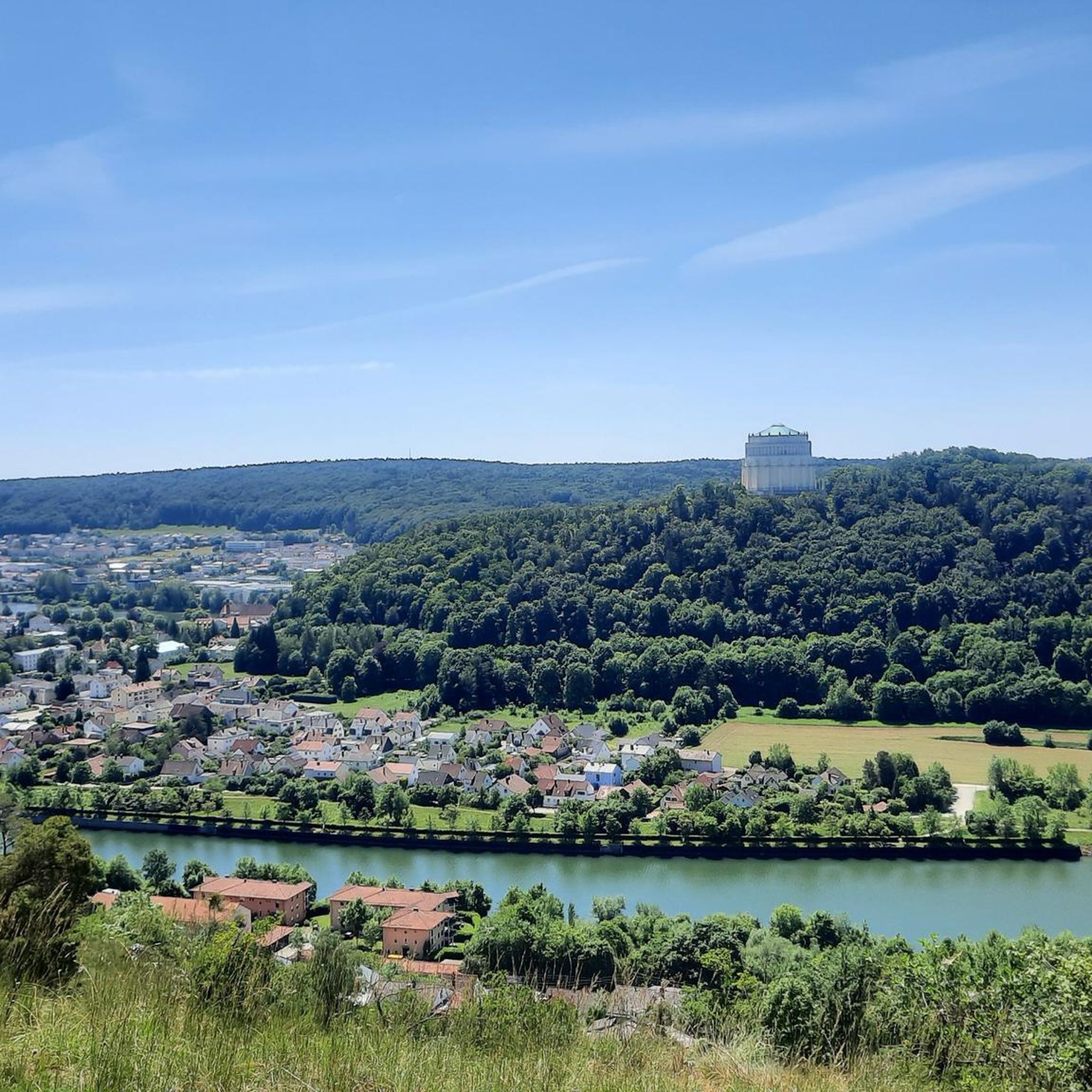
Jogging routes around Ihrlerstein offer a diverse environment for runners, characterized by rolling hills and dense forests. The region is situated on the banks of the Danube, providing picturesque paths along the river. Runners can explore varied terrain, including shaded forest trails and routes with inclines and descents. The natural features, such as the nearby Altmühl Valley, contribute to a scenic and engaging running experience.
Best jogging routes around Ihrlerstein
- The most popular jogging route is Danube Gorge Boat Tour…
Last updated: September 25, 2026
15
runners
7.50km
00:49
70m
60m
Moderate run. Good fitness required. Mostly accessible paths. Some sure footedness required.
12
runners
9.38km
01:02
120m
120m
Moderate run. Good fitness required. Mostly paved surfaces. Suitable for all skill levels.

9
runners
16.8km
01:50
230m
230m
Hard run. Very good fitness required. Mostly paved surfaces. Suitable for all skill levels.
6
runners
6.52km
00:43
80m
80m
Moderate run. Good fitness required. Mostly paved surfaces. Suitable for all skill levels.
5
runners
6.77km
00:43
80m
80m
Moderate run. Good fitness required. Mostly paved surfaces. Suitable for all skill levels.
Get access to more routes and recommendations from other explorers.
Already have an account?
Our route recommendations are based on thousands of hikes, rides, and runs completed by other people on komoot.
Start today with a free account
Your next adventure awaits.
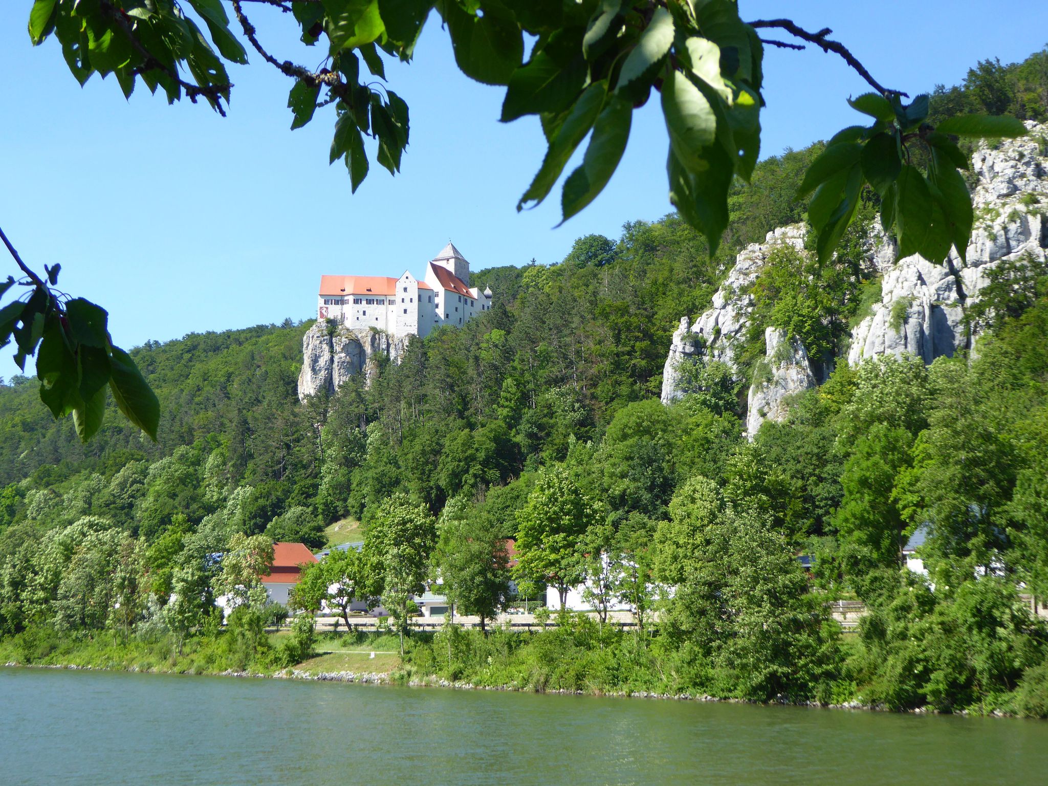
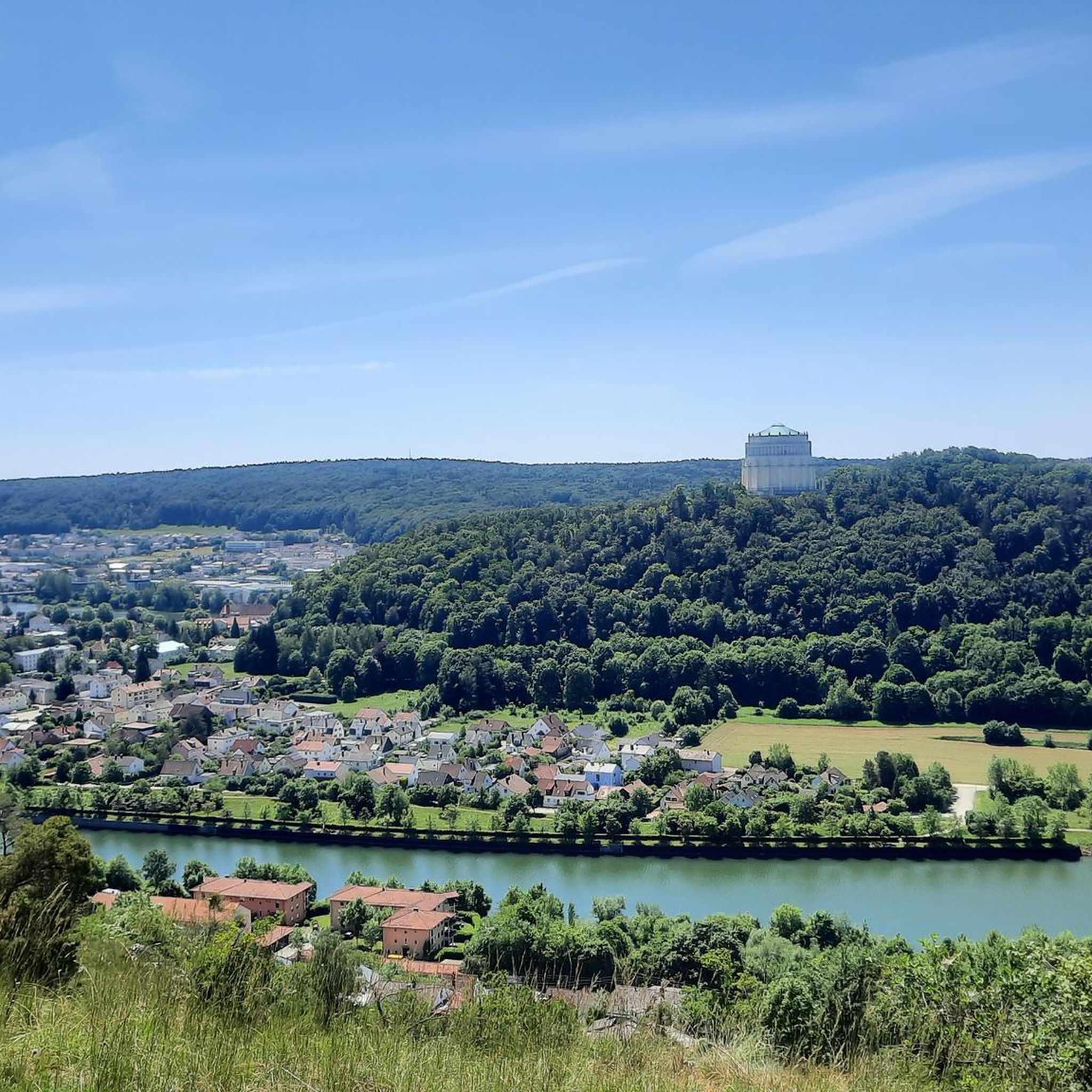
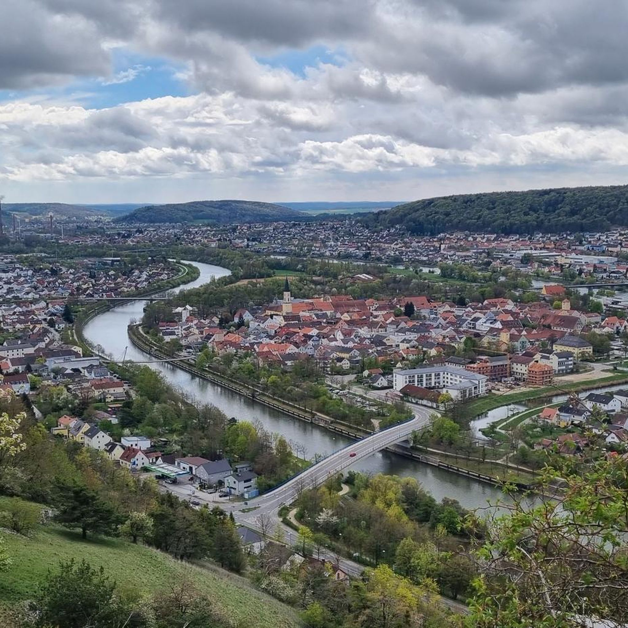
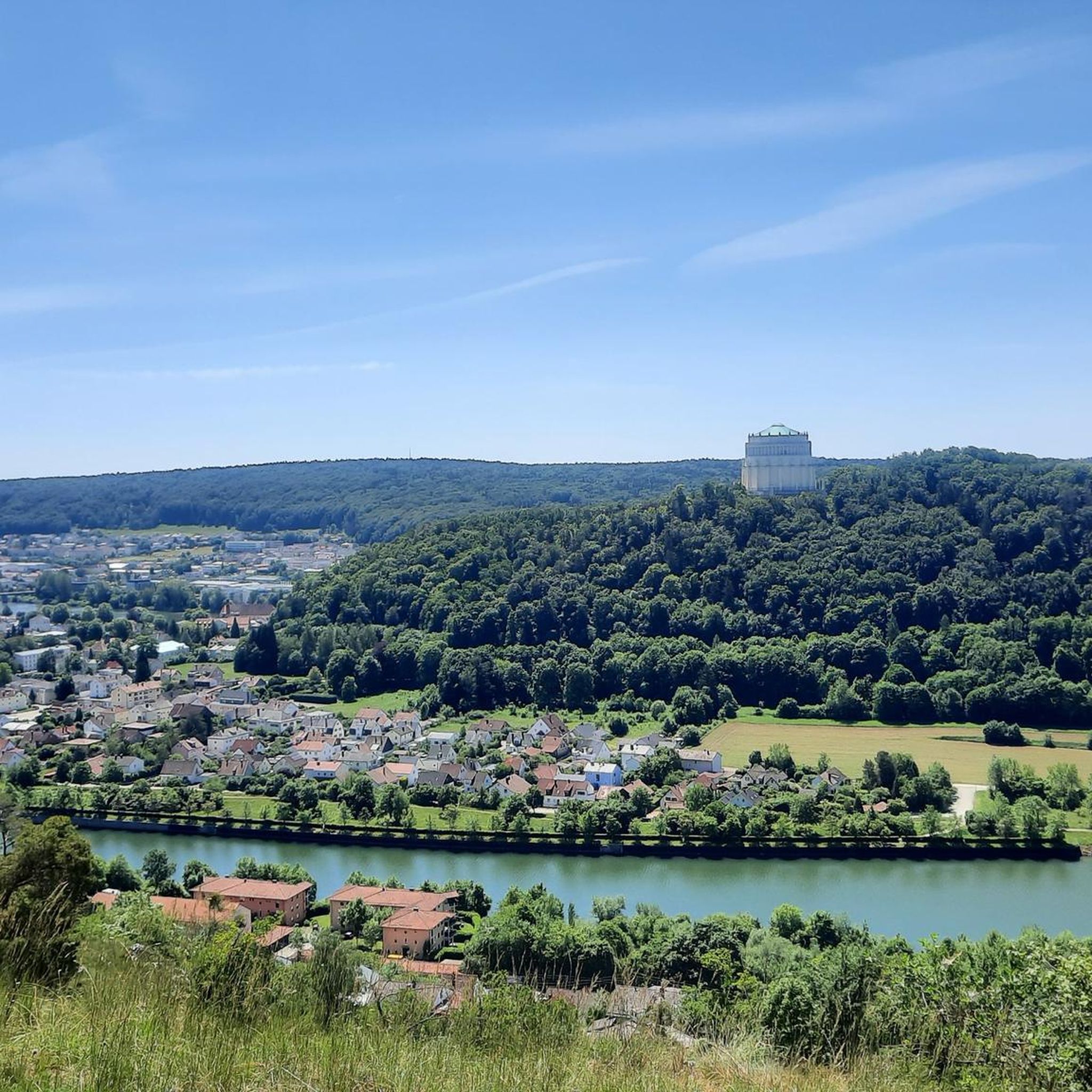

Other adventures around Ihrlerstein

Tips from the Community

The small and large cow troughs are not natural ponds, but rather a clay pit from the 18th century. Because this soil does not allow water to pass through, a pond was created that used to provide water for people and especially animals. Since settlers used the forest as pasture, they called the watering hole “cow trough”.
1
0

Again and again great views of the Altmühltal on Kelheim and the Liberation Hall.
0
0

Sneak cautiously to the shore and watch the frogs. If you are attentive and careful, you can discover dozens.
1
0


The small and large Kuhtränke is not a natural pond, but a clay pit from the 18th century. Because this soil does not let water through, a so-called sky pond was created, as a pond without inflow in the region is called, which used to serve the water supply of humans and especially animals. Since settlers used the forest as pasture, they called the waterhole "Kuhtränke". As each stagnant water gradually fills with bottom mud and grows from the shore, a gradual siltation takes place, which can also be seen well at the Kuhtränke. The reeds remove water from the subsoil and collect dead plant material on. It slowly creates a fen. https://www.ihrlerstein.de/freizeit-und-tourismus/sehenswuerdigkeiten/die-kuhtraenke/
9
1

In former times the animals were soaked in the forest.
2
0
Frequently Asked Questions
How many running trails are available around Ihrlerstein?
There are over 30 running routes around Ihrlerstein, offering a diverse environment for runners. These include a mix of easy, moderate, and difficult trails, ensuring options for various fitness levels.
What kind of terrain can I expect on jogging routes in Ihrlerstein?
Jogging routes in Ihrlerstein feature diverse terrain, from shaded forest paths and rolling hills to picturesque riverbanks along the Danube. This variety provides both challenging inclines and pleasant, flatter sections, making for an engaging running experience.
Are there any interesting landmarks or natural sights to see while running near Ihrlerstein?
Yes, many routes offer scenic views and pass by notable landmarks. You might encounter historical sights like the Weltenburg Monastery or Prunn Castle, or natural features such as the impressive rocky landscapes of the Altmühltal Nature Park. The area also features several caves, including the Klösterl Hermitage and Cave Church, adding geological interest to your run.
Are there any family-friendly running paths in Ihrlerstein?
Ihrlerstein offers a variety of paths suitable for different abilities, including family-friendly routes. These trails often feature gentler inclines and shorter distances, perfect for a leisurely run with the family. The region's picturesque paths through green valleys are particularly pleasant.
Can I bring my dog on the running trails around Ihrlerstein?
Many of the natural paths and forest trails around Ihrlerstein are suitable for running with dogs. It's always recommended to keep your dog on a leash, especially in nature protection areas or near wildlife, and to respect local regulations.
What is a good moderate-difficulty running route in Ihrlerstein?
A popular moderate-difficulty option is the Kuhtränke Pond loop from Ihrlerstein. This 4.7-mile (7.5 km) path winds through local woodlands and past the tranquil Kuhtränke Pond, offering a refreshing natural setting.
Are there any longer, more challenging running routes available?
For a more challenging run, consider the Danube Gorge Boat Tour – View of the Altmühl River loop from Ihrlerstein. This difficult 16.8-mile (27.0 km) trail offers expansive views of both the Danube and Altmühl rivers, combining physical activity with stunning landscapes.
When is the best time of year for jogging in Ihrlerstein?
The best seasons for outdoor activities, including jogging, are spring and autumn. During these times, the weather is mild, and the natural scenery is at its most vibrant, with blooming flowers or golden foliage, making for a particularly enjoyable experience.
Are there circular running routes in Ihrlerstein?
Yes, many of the running routes around Ihrlerstein are designed as loops, allowing you to start and finish at the same point. For example, the Running loop from Ihrlerstein is a 5.8-mile (9.4 km) trail that takes you through varied local terrain.
What do other runners enjoy most about jogging in Ihrlerstein?
The running routes in Ihrlerstein are highly rated by the komoot community, with an average score of 5.0 stars. Runners often praise the diverse terrain, the scenic views of the Danube and Altmühl rivers, and the peaceful atmosphere of the dense forests and rolling hills.
Are there any running routes that offer views of the Altmühl Valley?
Absolutely. The region's proximity to the Altmühltal Nature Park means many routes, such as the Danube Gorge Boat Tour – View of the Altmühl River loop from Ihrlerstein, provide breathtaking views of the impressive rocky landscapes and romantic gorges of the Altmühl Valley.
Can I find shorter running options for a quick workout?
Yes, there are several shorter routes perfect for a quick workout. The Running loop from Ihrlerstein (VGem) is a moderate 4.0-mile (6.5 km) trail that can be completed efficiently while still enjoying the local scenery.
Most popular routes around Ihrlerstein
Most popular attractions around Ihrlerstein

Get inspired with the komoot mobile app


Explore more
Browse the best Running Trails & Routes in other regions.
