The best running trails around Grosselfingen
4.5
(467)
6,433
runners
601
runs
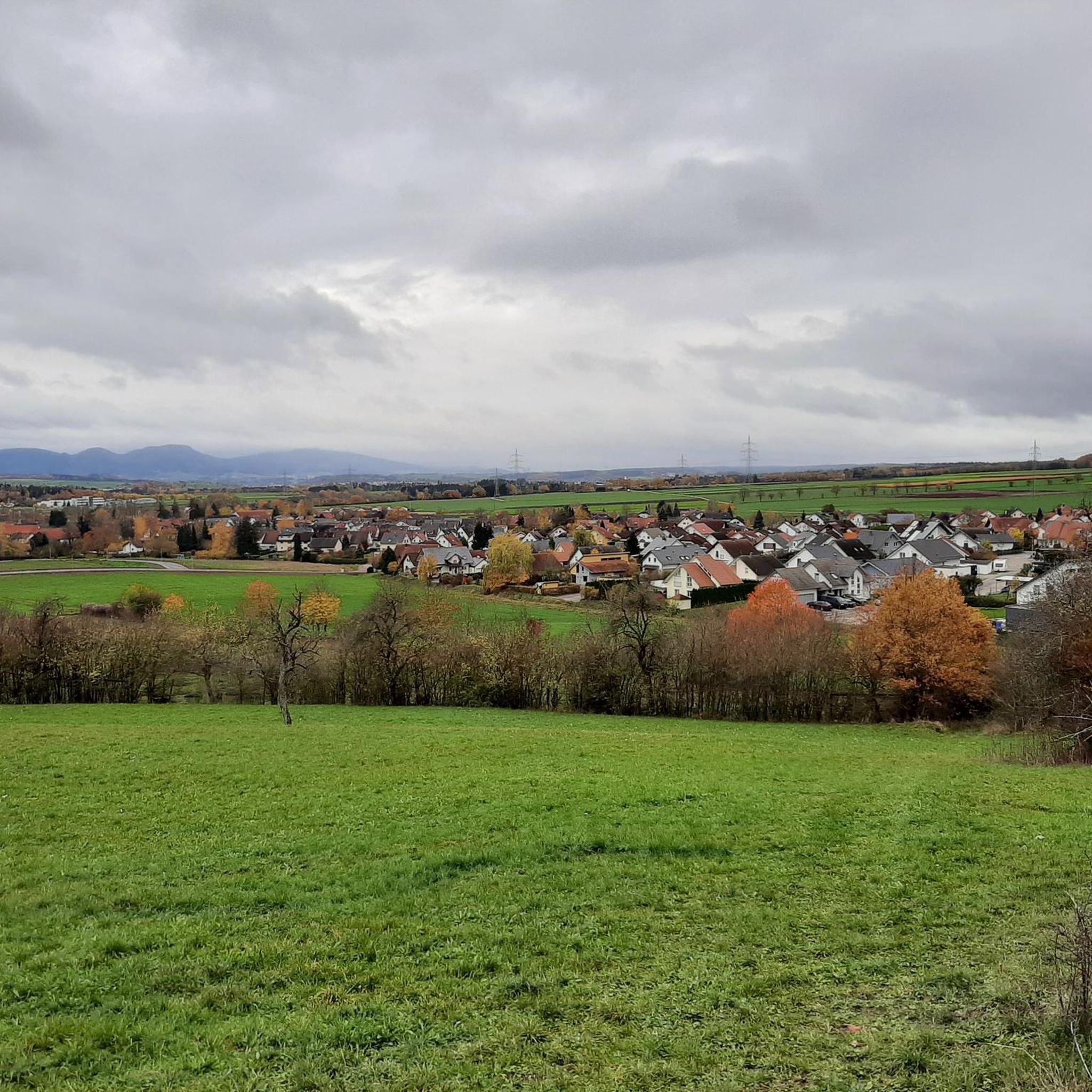
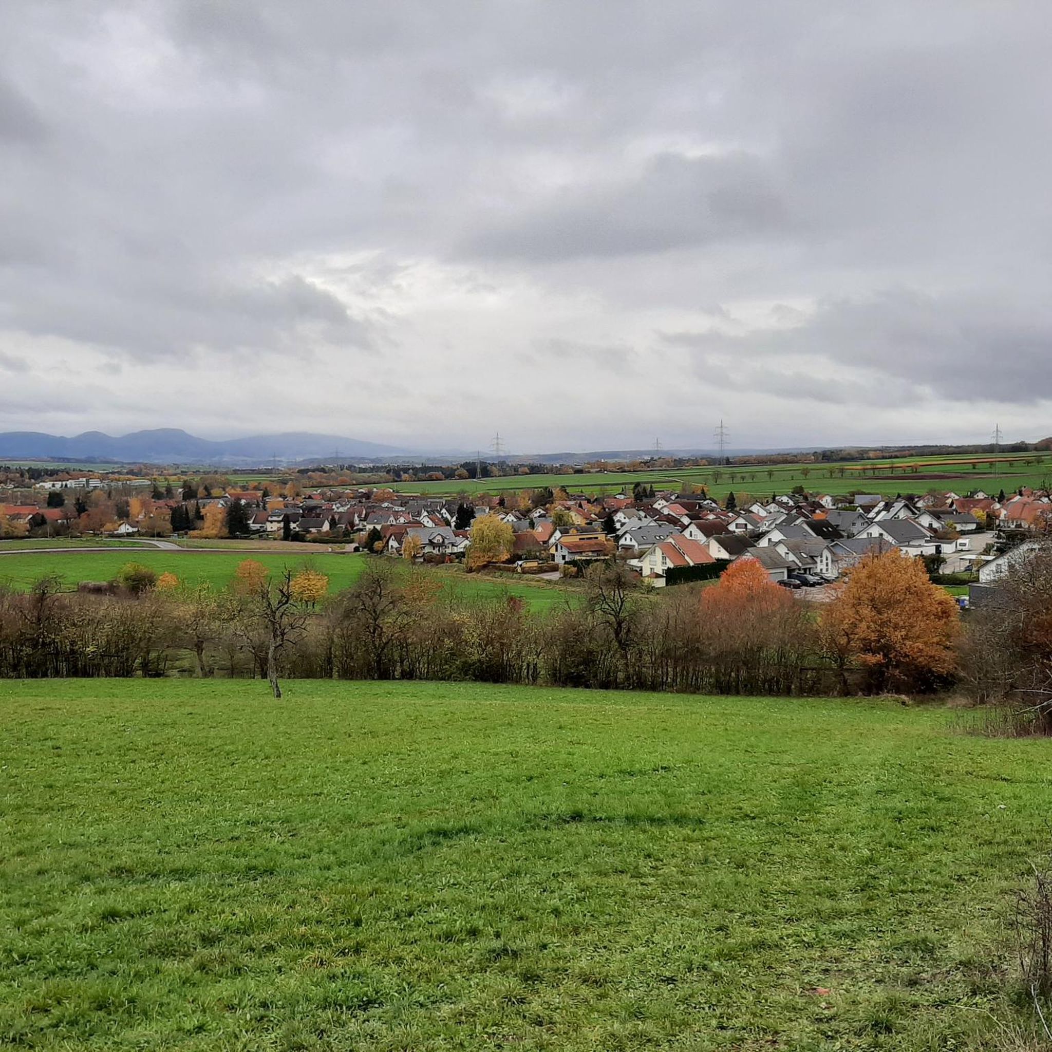
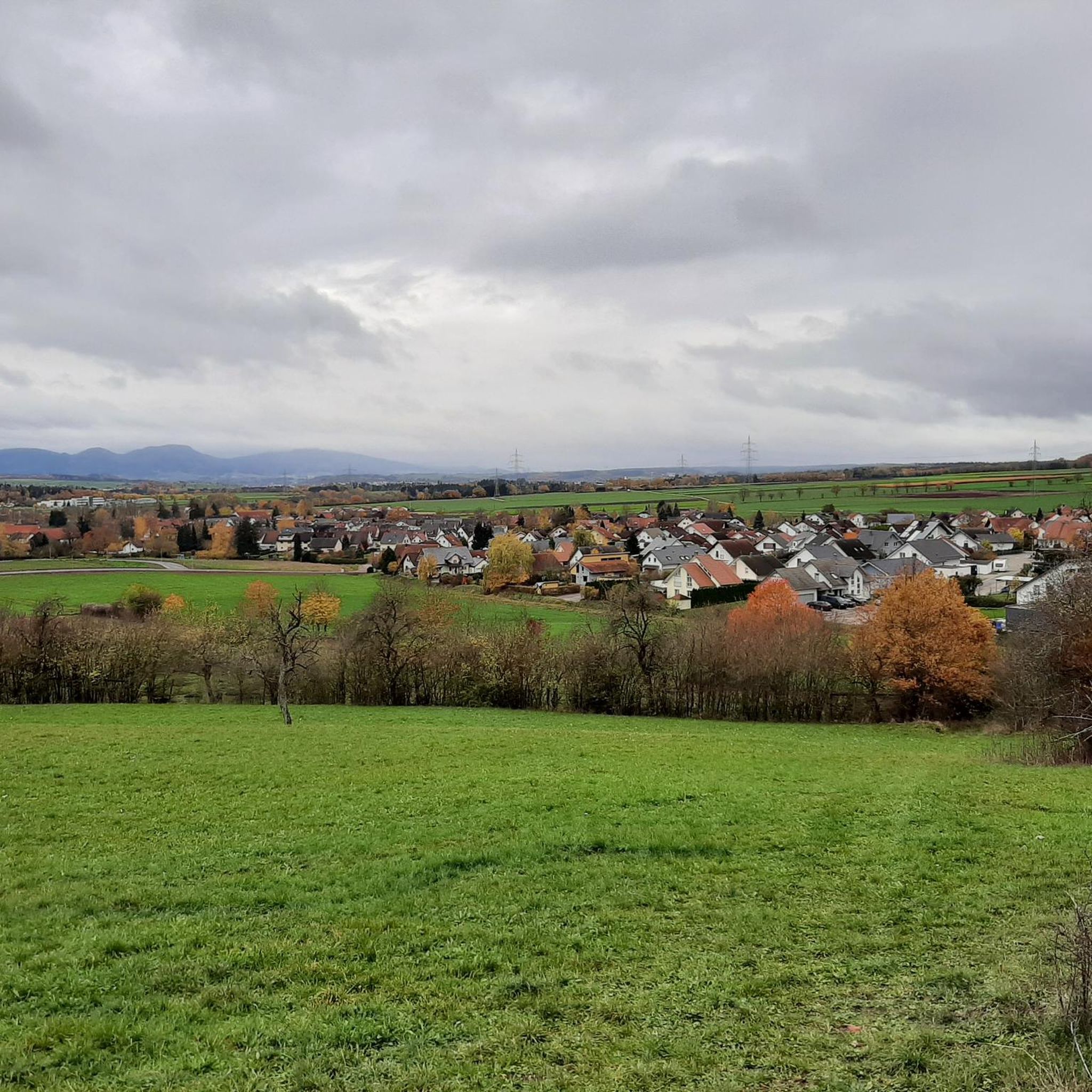
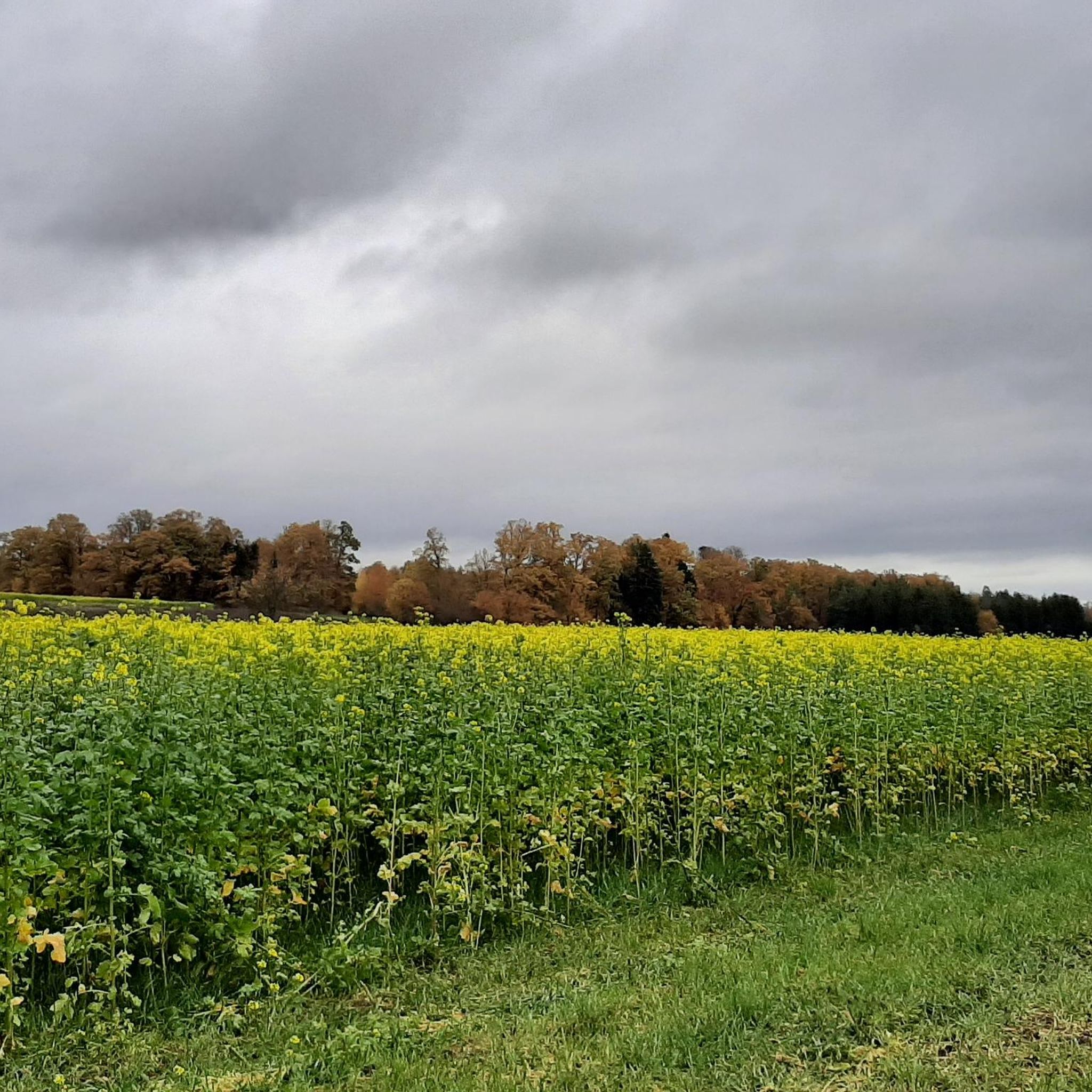
Jogging around Grosselfingen offers varied terrain in the foothills of the Swabian Jura, characterized by green hills, meadows, and forests. The municipality's elevation ranges from 460 to 624 meters, providing natural inclines for running. Many well-maintained paths, including accessible routes, are suitable for jogging through lush forests and towards valleys. This diverse landscape provides options for different running experiences.
Best jogging routes around Grosselfingen
- The most popular jogging route is Weiler Church St. George Owingen loop from Owinger Bühl,…
Last updated: October 2, 2026
5
runners
11.6km
01:19
190m
190m
Moderate run. Good fitness required. Mostly paved surfaces. Suitable for all skill levels.
4.0
(3)
10
runners
7.24km
00:50
150m
150m
Moderate run. Good fitness required. Mostly paved surfaces. Suitable for all skill levels.

7
runners
13.5km
01:26
130m
130m
Moderate run. Good fitness required. Mostly paved surfaces. Suitable for all skill levels.
5
runners
12.3km
01:21
190m
190m
Moderate run. Good fitness required. Mostly paved surfaces. Suitable for all skill levels.
6
runners
4.49km
00:28
40m
40m
Easy run. Great for any fitness level. Mostly paved surfaces. Suitable for all skill levels.
Get access to more routes and recommendations from other explorers.
Already have an account?
Our route recommendations are based on thousands of hikes, rides, and runs completed by other people on komoot.
Start today with a free account
Your next adventure awaits.

Tips from the Community

The view is beautiful, so the climb is worth it
6
0

The Weiler Church is the oldest church in Hohenzollern. It is open from April 1st to October 31st from 10am to 6pm. On the cemetery wall leading to the church, as seen from the hiking trail, there is a memorial to those who fell in World War I and II.
4
0

The Weilerkirche is a listed church building in Owingen, a district of Haigerloch in the Zollernalb district (Baden-Württemberg). The branch church of the parish of St. Jakobus Owingen, dedicated to St. George, belongs to the Roman Catholic pastoral unit Eyachtal-Haigerloch St. Anna in the Zollern deanery of the Archdiocese of Freiburg. The numerical symbols on a semicircular stone above the main portal indicate April 27, 1152 as the day of the inauguration. This makes the church the oldest sacred building in the former Hohenzollern area. The builders were the Counts of Hohenberg, wealthy citizens and the monks of the St. Georgen monastery. The late Romanesque building stands on a cemetery in the former town of Oberowingen, which fell into ruin in the 16th/17th century. After the Thirty Years' War and a plague, the few surviving residents moved to nearby Owingen. The oldest part of the nave is probably the south front. The side walls, built using ashlar technique, are each divided by three round-arched window slits. The massive choir arch was preserved after the tower collapsed. It was ornamentally painted on three sides with rosette-like blue and red fields around 1598. The apostle frieze from 1740 is in the upper part of the side walls and was painted al fresco by Dominikus Furr. The roof structure has the shape of a vault and appears to be modeled on the shape of a Norman ship. The portal is flanked by columns on two floors. Source: https://de.wikipedia.org/wiki/Weilerkirche
3
0

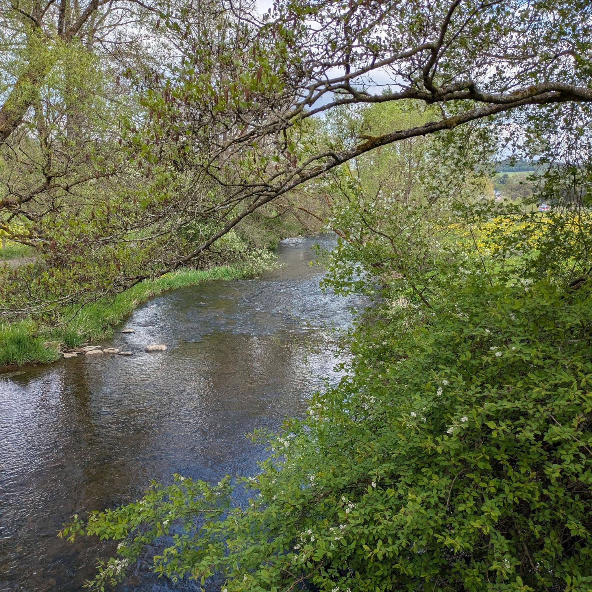
The Weiler Church is located directly on the Eyach and is embedded in a beautifully landscaped cemetery
13
0
Built around 1150, it is the oldest church in the former principality of Hohenzollern/Hechingen. There are also guided tours of the church. Contact: Tel.: 07574/6622 Ulrich Schury
13
0
Beautiful view of Owingen and Haigerloch. At the cross there is a summit book to sign.
11
1

Beautiful church. Unfortunately only open from April.
4
0
Unfortunately there is no bench to be seen there anymore 🤷♂️
3
0
Frequently Asked Questions
How many running trails are available around Grosselfingen?
Grosselfingen offers a wide selection of over 560 running routes. These trails vary in difficulty, with options ranging from easy, gentle paths to more challenging routes with significant elevation changes, catering to all fitness levels.
What kind of terrain can I expect on the jogging routes in Grosselfingen?
The running routes in Grosselfingen traverse the picturesque Swabian countryside and the foothills of the Swabian Jura. You can expect a diverse landscape featuring green hills, open meadows, and lush forests. Many paths are well-maintained, including some paved sections ideal for a smooth jog, while others offer natural inclines for a more vigorous workout.
Are there running routes suitable for beginners or those looking for an easier jog?
Yes, Grosselfingen has approximately 80 easy running routes perfect for beginners or those seeking a relaxed pace. These often include well-maintained paths with minimal inclines, such as sections of the Running loop from Grosselfingen, which offers a gentle experience through the village's surroundings.
Can I find running routes with scenic viewpoints in Grosselfingen?
Absolutely! Many trails in the region lead to breathtaking viewpoints. For instance, the View of Hohenzollern Castle loop from Grosselfingen offers stunning panoramas of the iconic Hohenzollern Castle. Other notable viewpoints include the View of Hohenzollern Castle from the Zeller Horn and the Hangender Stein Viewpoint, providing rewarding vistas of the Swabian countryside.
Are there any circular running routes available in Grosselfingen?
Yes, many of the running trails around Grosselfingen are designed as circular routes, allowing you to start and finish at the same point. A popular option is the Weiler Church St. George Owingen loop from Owinger Bühl, which provides a varied experience through the Swabian countryside.
What do other runners enjoy most about jogging in Grosselfingen?
The running routes in Grosselfingen are highly rated by the komoot community, with an average score of 4.5 stars from over 340 reviews. Runners frequently praise the diverse terrain, the refreshing experience of winding through green hills and open meadows, and the well-maintained paths that make for an enjoyable outdoor activity.
Are the jogging routes in Grosselfingen suitable for families?
Yes, Grosselfingen offers several family-friendly paths. The region's well-maintained trails, including some paved sections like the 'Bildstöckle senior hiking trail' within the Multigenerational Park Grosselfingen, are ideal for leisurely jogs with children or for those pushing strollers, as they are generally without major inclines.
Can I bring my dog on the running trails around Grosselfingen?
Many of the natural paths and forest trails around Grosselfingen are suitable for running with dogs. It's always recommended to keep your dog on a leash, especially in areas with wildlife or near agricultural land, and to be mindful of local regulations.
Are there parking facilities available near the running trailheads?
Yes, many trailheads and popular starting points for running routes in and around Grosselfingen offer designated parking areas. For example, the Owinger Bühl loop from Wanderparkplatz indicates a starting point with parking availability, making it convenient to access the trails.
What is the best time of year for jogging in Grosselfingen?
Grosselfingen offers enjoyable running conditions throughout much of the year. Spring and autumn provide pleasant temperatures and vibrant scenery. Summer is also great, especially for forest routes that offer shade. Even in winter, many well-maintained paths are suitable for jogging, though conditions may vary with snow or ice.
Are there any places to stop for refreshments along or near the running routes?
While specific cafes directly on every trail might be limited, Grosselfingen and its surrounding villages offer various local establishments where you can find refreshments. Many routes pass through or near these villages, providing opportunities for a post-run coffee or meal.
Can I reach the running trails in Grosselfingen using public transport?
Grosselfingen is a rural village, and while public transport options exist, they might be less frequent than in larger towns. It's advisable to check local bus schedules to see if they connect to specific trailheads or central points within the village, allowing access to the running network.
Most popular routes around Grosselfingen
Most popular attractions around Grosselfingen

Get inspired with the komoot mobile app


Explore more
Browse the best Running Trails & Routes in other regions.
