The best mountain hikes around Heroldstatt
4.7
(4)
12
hikers
4
hikes
Mountaineering around Heroldstatt offers routes through the scenic Alb-Donau-Kreis region, characterized by rolling hills, dense woodlands, and river valleys. The landscape features moderate elevation changes, making it suitable for various skill levels. These trails often follow paths through forests and open countryside, providing diverse natural environments. The area is known for its karst topography, with springs and unique rock formations.
Best mountaineering routes around Heroldstatt
- The most popular mountaineering route is Blaubeuren Monastery – Rusenschloss Ruins loop from Blaubeuren,…
Last updated: October 5, 2026
5
hikers
7.25km
02:11
190m
190m
Moderate mountaineering route. Good fitness required. Mostly accessible paths. Sure-footedness required.
5.0
(1)
2
hikers
6.19km
01:55
180m
180m
Moderate mountaineering route. Great for any fitness level. Mostly accessible paths. Sure-footedness required.

4.0
(2)
4
hikers
6.27km
01:53
180m
180m
Moderate mountaineering route. Great for any fitness level. Mostly accessible paths. Sure-footedness required.
5.0
(1)
1
hikers
11.6km
03:19
260m
260m
Moderate mountaineering route. Good fitness required. Easily-accessible paths. Suitable for all skill levels.
Our route recommendations are based on thousands of hikes, rides, and runs completed by other people on komoot.
Start today with a free account
Your next adventure awaits.
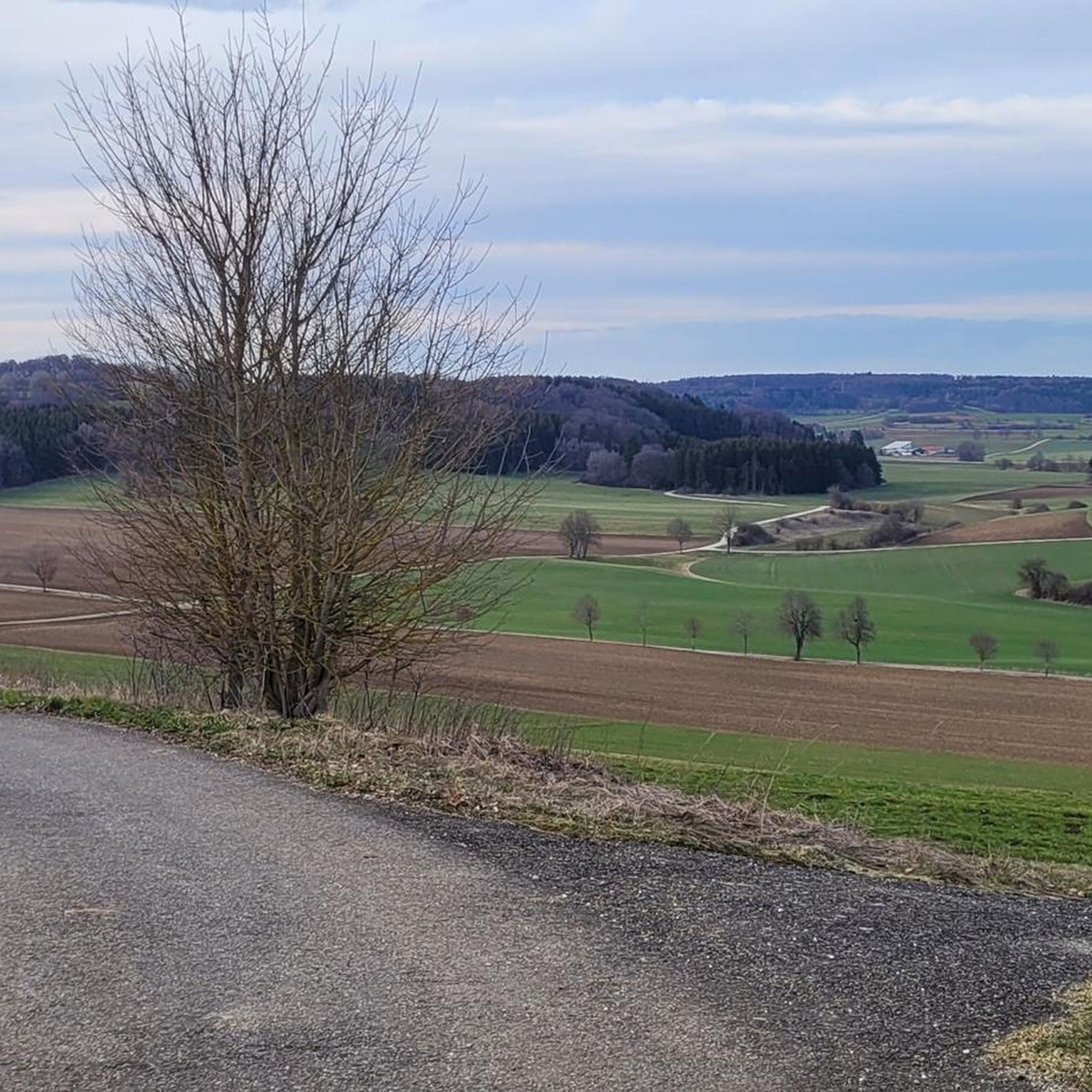
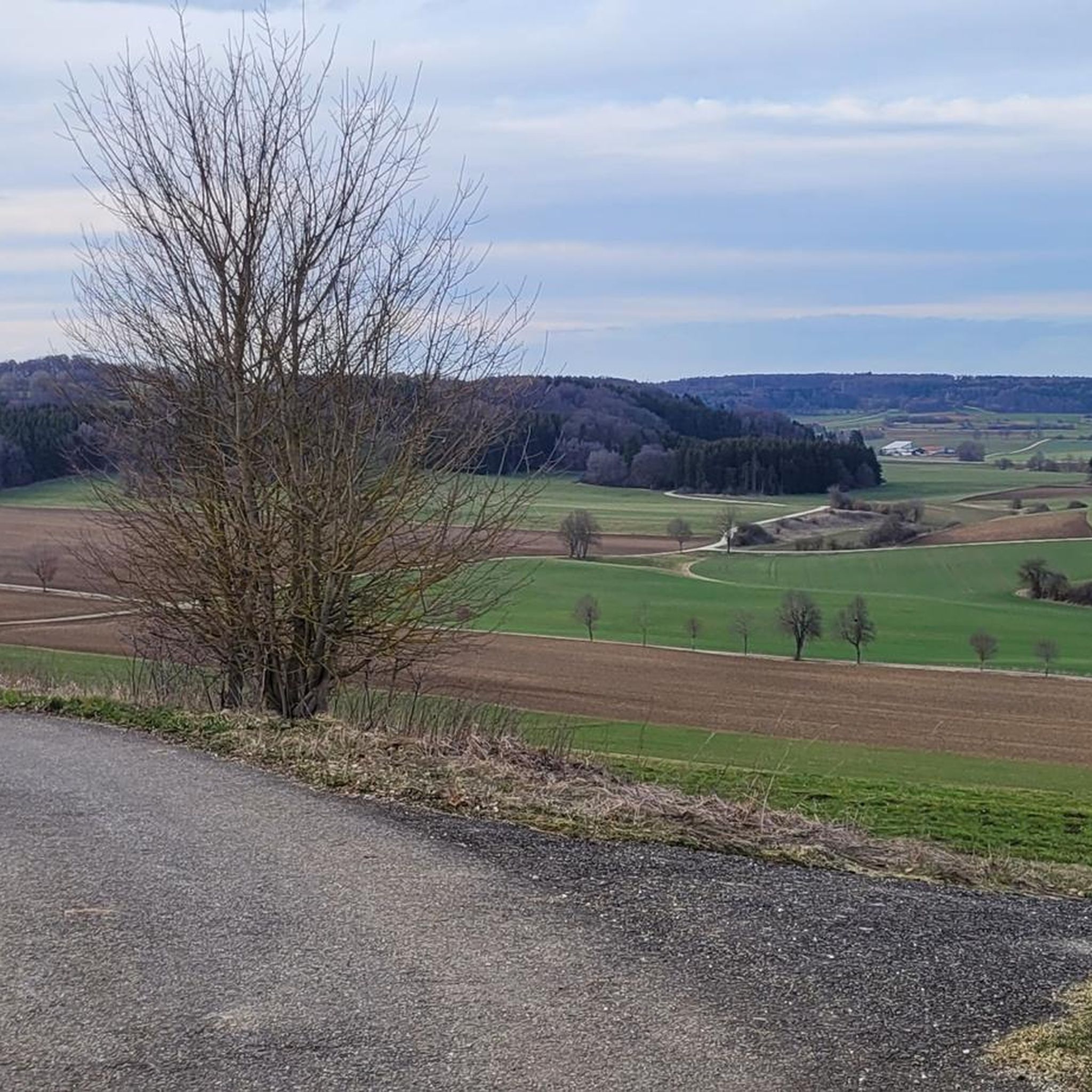
Tips from the Community

Beautiful nature trail to walk, which leads through a hollow way and serves as a good connection to and from the Schertelshöhle and Burkhardtshöhle.
7
0
The Burkhardtshöhle is a destroyed karst cave and an important archaeological site of the Magdalenian period on the northern edge of the Central Swabian Jura near Westerheim. Named after a local historian, it was discovered in 1933 and reduced to a cave ruin in 1945 by a military explosion.
7
0
The Schertelshöhle is one of the most beautiful and dripstone-rich caves in the Swabian Jura. Via an artificial access, about 160m of the 212m long cave can be walked. Previously, the entrance funnel, the so-called "Kuhloch" (Cow hole), was the only access, through which daylight mysteriously shone into the cave. Robbers are said to have used the cave as a hiding place. To protect the bats, the Schertelshöhle is closed in winter.
6
0

Fascinated by the impressions of his journey through Germany, Austria, and Upper Italy, which the American writer Mark TWAIN – known to us readers primarily as the 'literary father' of Tom Sawyer and Hucklebery Finn – had undertaken in 1878, he writes about a hike through the forests: “But the most peculiar effect and the most magical is produced by the softly diffused light of the low-lying afternoon sun; not a single ray can penetrate then, but the soft light takes on color from moss and foliage and fills everything with a delicate green haze, the theatrical lighting of a fairytale land. The mood of mystery and the supernatural, which always hangs over the forest, is made even more intense by this unearthly light.” (Mark Twain: “Bummel durch Europa”)
0
0

Great cycle path to or from the source of the Fils.
0
0


A beautiful valley that slopes gently downhill from Schopfloch. The route to Schopfloch continues with a steady climb of 2-4 percent.
0
0

Shortly across the street you then go down the stairs towards Blautopf.
3
0
Frequently Asked Questions
How many mountaineering routes are available around Heroldstatt?
There are currently four dedicated mountaineering routes around Heroldstatt listed on komoot, all rated as moderate difficulty. These routes offer diverse experiences through the region's scenic landscapes.
Are there any easy or beginner-friendly mountaineering routes in Heroldstatt?
All mountaineering routes around Heroldstatt are currently rated as moderate. However, routes like the Blautopf Spring – Blautopf loop from Blaubeuren, at 3.9 miles (6.3 km), offer a manageable distance for those new to mountaineering, allowing you to experience the beautiful karst landscape without excessive challenge.
What kind of natural attractions can I expect to see on these routes?
The routes around Heroldstatt showcase the unique karst topography of the Swabian Jura. You can discover stunning natural springs like the Blautopf and the Source of the Fils. Keep an eye out for interesting rock formations such as the Küssende Sau Rock Formation, and enjoy panoramic views from various viewpoints, including the View of Blaubeuren from the Rock Outcrop.
Are there any circular mountaineering walks available?
Yes, all the mountaineering routes listed around Heroldstatt are circular walks, allowing you to start and end at the same point. For example, the Blaubeuren Monastery – Rusenschloss Ruins loop from Blaubeuren offers a scenic round trip.
What is the best time of year for mountaineering in Heroldstatt?
The spring, summer, and autumn months generally offer the most pleasant conditions for mountaineering in Heroldstatt. Spring brings blooming flora, summer provides lush green landscapes, and autumn showcases vibrant fall colors. Always check local weather forecasts before heading out.
Can I find places to eat or drink near the mountaineering trails?
Yes, towns like Blaubeuren and Westerheim, which serve as starting points for several routes, offer various cafes and pubs where you can refresh yourself after your mountaineering adventure. These establishments are typically located conveniently near the trailheads.
What do other komoot users say about mountaineering in Heroldstatt?
The mountaineering routes in Heroldstatt are highly regarded by the komoot community, with an average rating of 5.0 stars. Users often praise the diverse woodlands, the unique geological features like the Blautopf, and the well-maintained paths that make for an enjoyable experience.
Are there any historical sites or ruins to explore along the routes?
Absolutely. The region is rich in history. You can explore the historic Blaubeuren Monastery, which is featured on routes like the Küssende Sau Rock Formation – Blaubeuren Monastery loop from Blaubeuren. Additionally, the Günzelburg Ruins are another point of interest in the vicinity.
What are the typical distances and durations for mountaineering routes here?
The mountaineering routes around Heroldstatt vary in length, generally ranging from approximately 3.9 miles (6.3 km) to 7.3 miles (11.8 km). Durations typically fall between 1 hour 51 minutes and 3 hours 22 minutes, depending on the specific route and your pace.
Are there any less crowded or 'hidden gem' routes for a quieter experience?
While all routes offer a connection with nature, for a potentially quieter experience, consider the Source of the Fils – Fils Spring loop from Westerheim. This longer route leads through varied forest and open terrain, offering a chance for more solitude compared to the more popular Blautopf area.
What should I wear for mountaineering in Heroldstatt during summer?
During summer, lightweight, breathable clothing is recommended. Layers are always a good idea, as temperatures can vary. Sturdy hiking boots are essential for the varied terrain, and don't forget sun protection, a hat, and plenty of water.
Most popular routes around Heroldstatt
Most popular attractions around Heroldstatt

Get inspired with the komoot mobile app


Explore more
Browse the best Mountain Hikes & Routes in other regions.
