The best mountain hikes around Deggingen
5.0
(1)
10
hikers
3
hikes
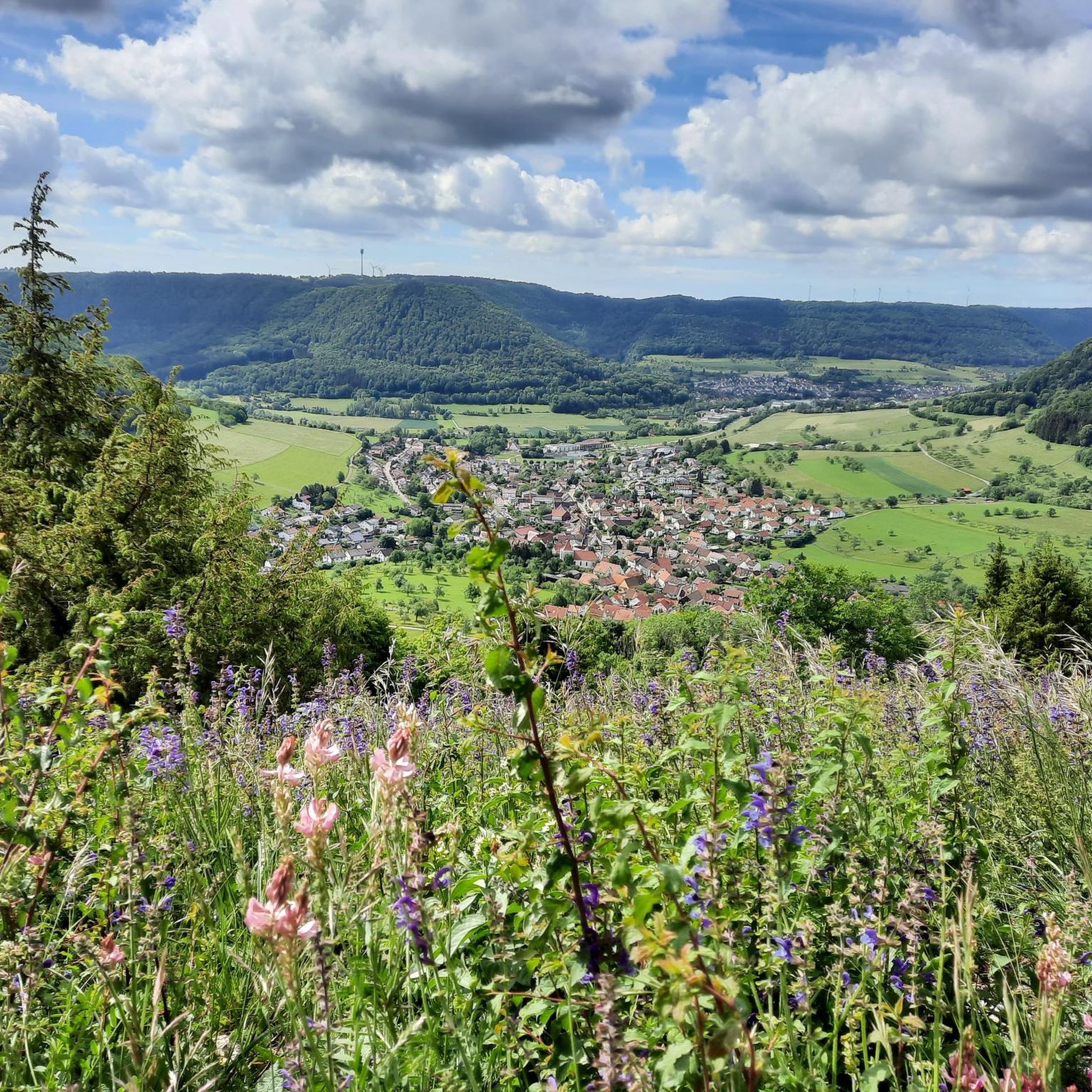
Mountaineering routes around Deggingen are situated within the Swabian Jura, a region characterized by rugged white limestone cliffs, dramatic rock formations, and dense forested valleys. The landscape features a steep escarpment, rising up to 400 meters, which contributes to challenging ascents and varied terrain. This geological makeup provides a diverse topography with numerous viewpoints and unique rock formations suitable for mountaineering experiences.
Best mountaineering routes around Deggingen
- The most popular mountaineering route is Hausener Cliff – Hausen Rocks loop from…
Last updated: July 29, 2026
4
hikers
Moderate mountaineering route. Good fitness required. Easily-accessible paths. Suitable for all skill levels.
5.0
(1)
3
hikers
9.83km
02:45
200m
200m
Moderate mountaineering route. Good fitness required. Easily-accessible paths. Suitable for all skill levels.

Sign up for free
3
hikers
Moderate mountaineering route. Good fitness required. Easily-accessible paths. Suitable for all skill levels.
Our route recommendations are based on thousands of hikes, rides, and runs completed by other people on komoot.
Start today with a free account
Your next adventure awaits.
Login or Signup
Popular around Deggingen
Hiking the Süden – between Black Forest, Lake Constance and Swabian Alb
The best in the south: premium and quality hikes in Baden-Württemberg
Lion Trails in the Swabian Alb – 16 Tours around Göppingen
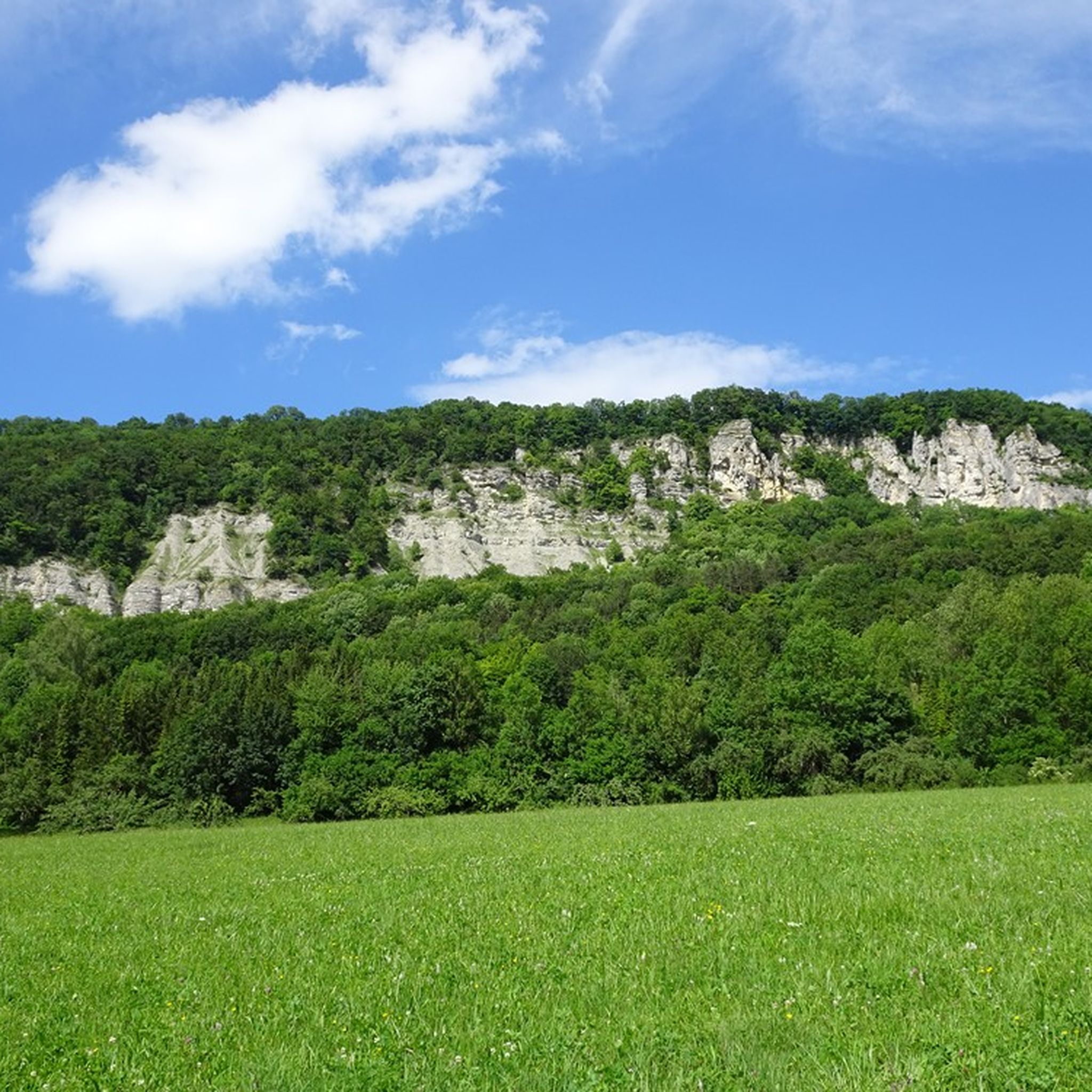
Hiking around Deggingen
Gravel biking around Deggingen
Cycling around Deggingen
MTB Trails around Deggingen
Road Cycling Routes around Deggingen
Running Trails around Deggingen
Other adventures around Deggingen


Tips from the Community

Lined with interesting additions such as the old stone crusher machine with belt drive and an ecological tree socket. Although a top-maintained wellhead, unfortunately no drinking water.
1
0
The Kleine Hausener Wand is popular as a viewpoint and among climbers. The exact location and access can be found at: https://www.thecrag.com/de/klettern/germany/schwaebische-alb/area/249677571
1
0
The Traufweg trail at the Michelberg always runs along the edge of the Tafelberg. Those who are not afraid of heights can repeatedly enjoy deep views from the battlements of the Hausener Wand into the valley.
1
0

Fortunately not. Imagine if there were signs and railings at all the dangerous spots on the Alb. Then not much would be left of the Alb. Recently, near Bad Urach, I was alerted by a sign that there are forest dangers in the woods. Very disturbing.
0
0

Absolute top viewpoint down into the beautiful Filstal
0
0
Art at the village fountain, something different 👍
0
0
Super beautiful singletrack to the Hausener Wand
1
0
Always be careful not to step too close to the edge! There are neither railings nor warning signs, just a steep drop...
0
0
Frequently Asked Questions
What kind of terrain can I expect on mountaineering routes around Deggingen?
The routes in Deggingen are set within the Swabian Jura, characterized by rugged white limestone cliffs, dramatic rock formations, and dense forested valleys. You'll encounter a steep escarpment, rising up to 400 meters, which contributes to challenging ascents and varied terrain. This geological makeup provides diverse topography with numerous viewpoints and unique rock formations.
Are there any circular mountaineering routes in the Deggingen area?
Yes, several routes are designed as loops, allowing you to start and end at the same point. For example, the Hausener Cliff – Hausen Rocks loop from Bad Überkingen is a moderate 14.7 km trail offering prominent cliff views and varied forest terrain.
What are some notable viewpoints or landmarks I can see on these routes?
The region is rich with panoramic viewpoints. The Source of the Fils – View of Neidlingen Valley loop from Wiesensteig provides expansive vistas over the Neidlingen Valley. Additionally, the Eckfelsen Summit Cross is a notable attraction near Deggingen, implying rewarding views from a prominent peak or rock outcrop.
Are there any routes suitable for beginners or those new to mountaineering?
While the Swabian Jura offers challenging sections, there are moderate routes that can be suitable for those with some hiking experience. The Boßler – Bürg loop from Kurzer Wasen - Roter Wasen is a moderate 6.3 km trail that leads through forested sections and offers views from the Boßler peak, making it a good option for gaining experience.
Can I find routes that feature waterfalls or other natural water features?
Yes, the area around Deggingen has several beautiful water features. You can explore highlights such as the Autal Waterfall, the Waterfall at Teufelbach in Teufelsloch-Kaltenwang, or the Moss-Covered Tufa Rocks and Springs. These can often be found near or accessible from various hiking trails in the region.
What is the best time of year for mountaineering in Deggingen?
The Swabian Jura is beautiful year-round, but spring and autumn offer particularly pleasant conditions with milder temperatures and vibrant foliage. Summer is also popular, though some sections might be more exposed to the sun. Winter can offer a different, serene experience, but requires appropriate gear for potentially icy or snowy conditions.
Are there any family-friendly mountaineering routes in Deggingen?
While some routes require sure-footedness, many trails around Deggingen are suitable for families with older children who are accustomed to hiking. Look for routes described as 'moderate' with shorter distances, such as the 6.3 km Boßler – Bürg loop, which offers rewarding views without extreme difficulty.
Are dogs allowed on the mountaineering trails in Deggingen?
Generally, dogs are welcome on most hiking trails in the Swabian Jura, but it's always advisable to keep them on a leash, especially in nature reserves or areas with wildlife. Be mindful of other hikers and ensure your dog is comfortable with varied terrain and potentially steep sections.
Where can I find parking or trailheads for these routes?
Many routes around Deggingen have designated parking areas at their starting points. For instance, the Hausener Cliff – Hausen Rocks loop starts from Bad Überkingen, and the Boßler – Bürg loop begins near Kurzer Wasen - Roter Wasen. Specific trailhead information is usually available on the individual route pages.
Are there options for public transport to access mountaineering trails?
Public transport options exist to reach towns and villages in the Swabian Jura, from where many trails begin. While direct access to every trailhead might be limited, local bus services often connect to key starting points. It's recommended to check local transport schedules for specific routes and their accessibility.
What makes the Swabian Jura unique for mountaineering experiences?
The Swabian Jura's unique 'Alpine character' is defined by its dramatic limestone cliffs, deep forested valleys, and the steep escarpment (Albtrauf). This geological formation, a result of ancient seabeds and karstic erosion, creates a diverse and rugged landscape that provides challenging and rewarding experiences, evoking a mountain environment even without traditional high-alpine features.
What should I pack for a mountaineering tour in Deggingen?
Given the varied terrain and potential for elevation changes, essential items include sturdy hiking boots with good ankle support, layers of clothing suitable for changing weather, sufficient water and snacks, a map or GPS device, and sun protection. For more challenging routes, trekking poles can be beneficial for stability.
Most popular routes around Deggingen
Most popular attractions around Deggingen

Get inspired with the komoot mobile app


Explore more
Browse the best Mountain Hikes & Routes in other regions.
