The best running trails around Leinfelden-Echterdingen
4.3
(456)
3,651
runners
180
runs
Jogging routes around Leinfelden-Echterdingen traverse a diverse landscape, situated on the Filder plain and bordering the Schönbuch Nature Park. The area features varied terrain, including the picturesque Siebenmühlental with its nature conservation areas. Runners can explore expansive Filder fields, charming orchards, and extensive forest areas like the Weidacher Höhe and Stadtwald. This blend of natural features provides a range of environments for outdoor activity.
Best jogging routes around Leinfelden-Echterdingen
- The most popular jogging route is Aktivpark LE – Shady Bench loop from Stetten, a 6.7 miles (10.8 km) trail that takes 1 hour 10 minutes to complete. This route offers a moderate challenge through varied local scenery.
- Another top favourite among local runners is Siebenmühlental – Mäulesmühle (Mäules Mill) loop from Musberg, a difficult 10.0 miles (16.1 km) path. This route explores the scenic Siebenmühlental, featuring historical mills and natural beauty.
- Local runners also love the Outdoor Fitness Station – Fitness Station loop from Stetten, a 5.5 miles (8.8 km) trail leading through local green spaces, often completed in about 55 minutes.
- Jogging around Leinfelden-Echterdingen is defined by the Siebenmühlental valley, Filder fields, and extensive forest areas. The network offers options for easy, moderate, and difficult routes, catering to various ability levels.
- The routes in Leinfelden-Echterdingen are highly rated by the komoot community with an average score of 4.2 stars from over 300 reviews. More than 3000 runners have used komoot to explore Leinfelden-Echterdingen's varied terrain.
Last updated: October 5, 2026
3.6
(13)
137
runners
10.8km
01:09
120m
120m
Moderate run. Good fitness required. Mostly paved surfaces. Suitable for all skill levels.
4.4
(7)
157
runners
16.2km
01:42
170m
170m
Hard run. Very good fitness required. Mostly paved surfaces. Suitable for all skill levels.

5.0
(1)
117
runners
8.83km
00:55
50m
50m
Moderate run. Good fitness required. Mostly paved surfaces. Suitable for all skill levels.
3.8
(9)
92
runners
Hard run. Very good fitness required. Mostly paved surfaces. Suitable for all skill levels.
4.5
(4)
117
runners
11.5km
01:13
130m
130m
Moderate run. Good fitness required. Mostly paved surfaces. Suitable for all skill levels.
Get access to more routes and recommendations from other explorers.
Already have an account?
Our route recommendations are based on thousands of hikes, rides, and runs completed by other people on komoot.
Start today with a free account
Your next adventure awaits.
Popular around Leinfelden-Echterdingen
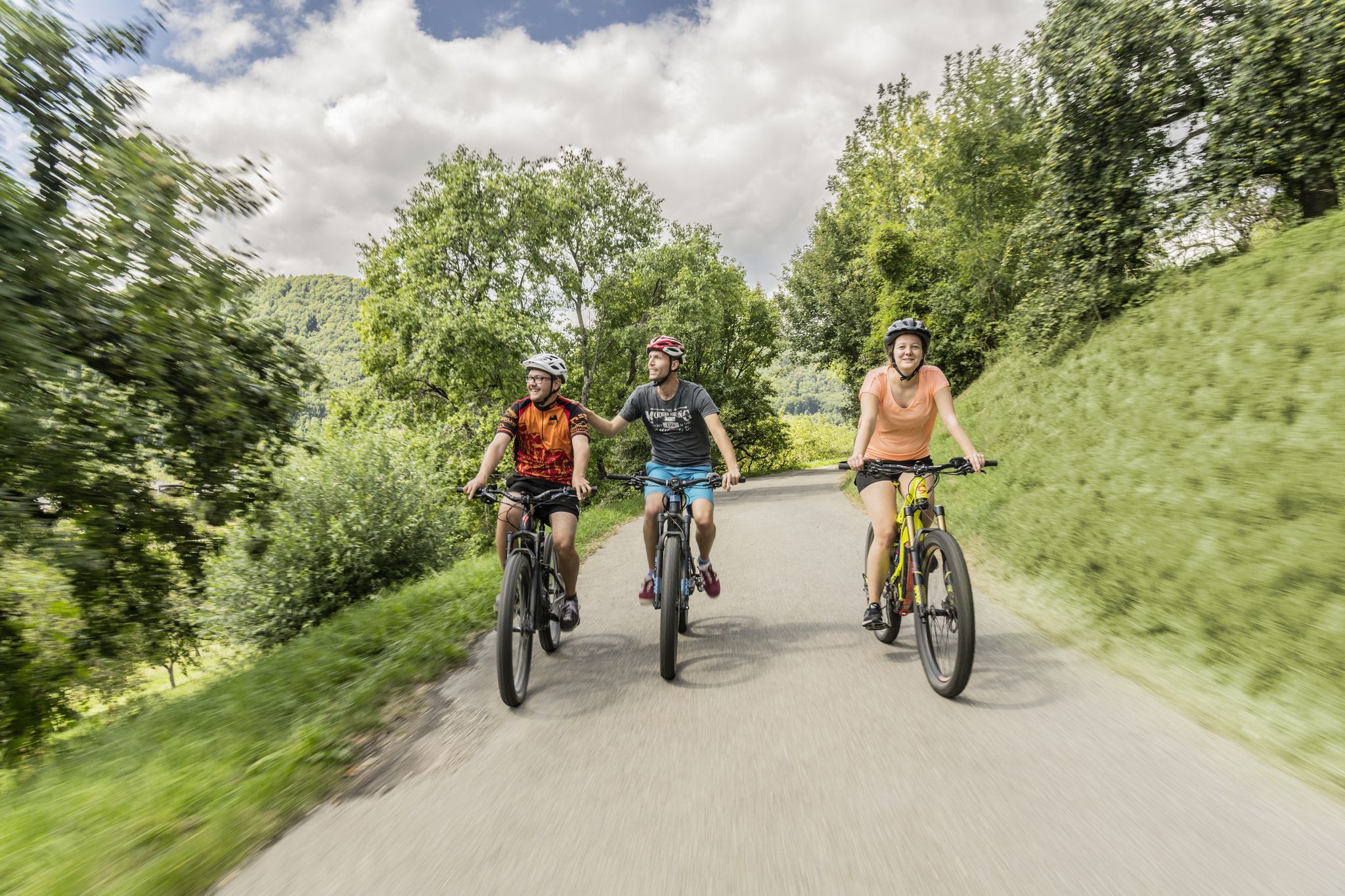
Between river, forest and alb – cycling tours in the Esslingen district
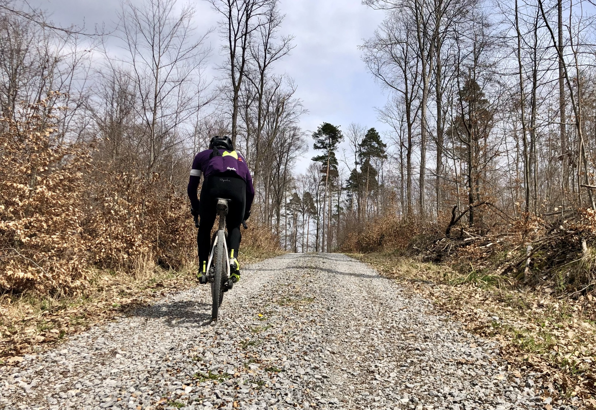
Stuttgarter Gravel Luck - Gravel Tours around the Basin
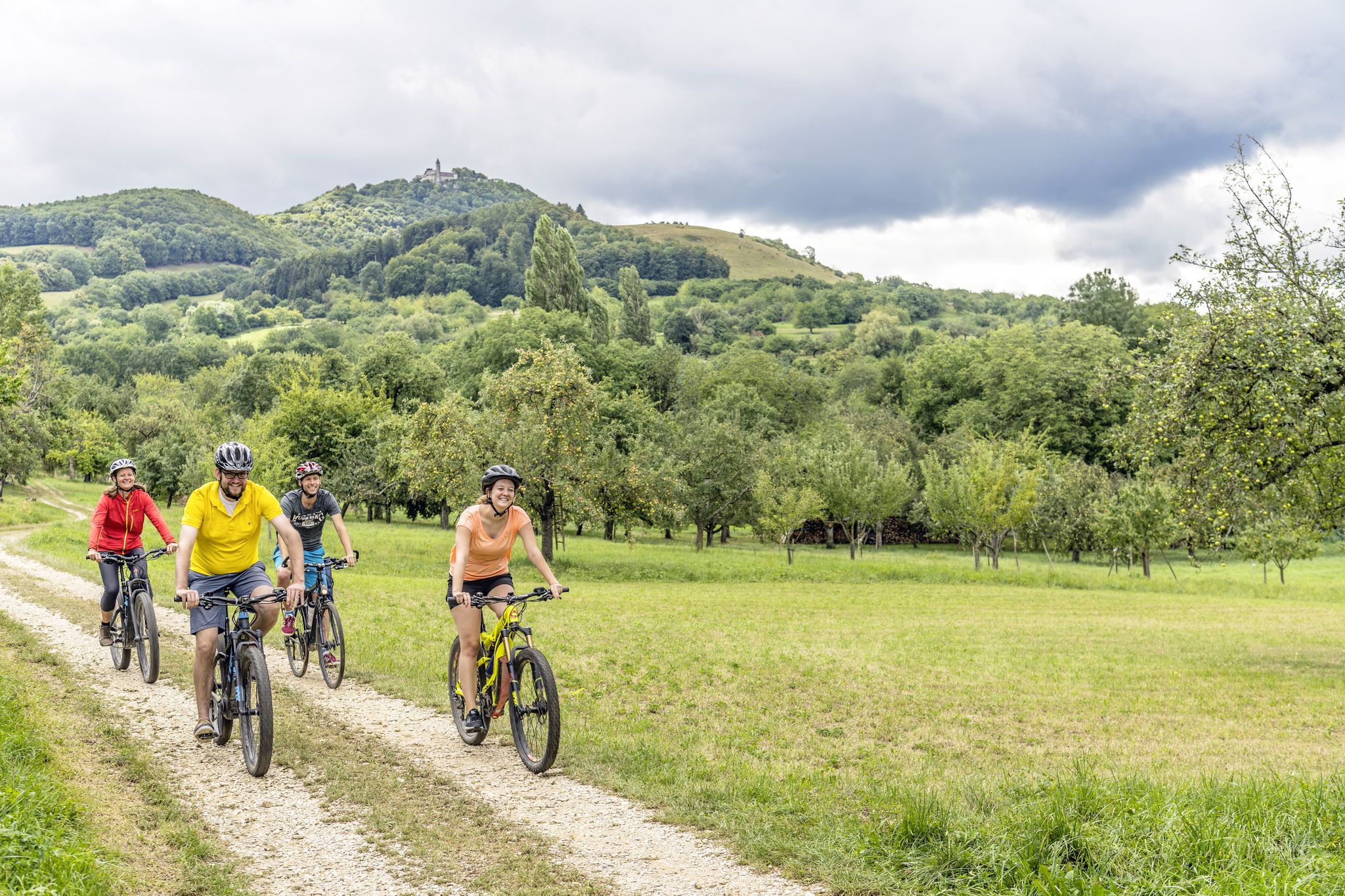
Explore the stunning Swabian Alb — cycling in the Esslingen district
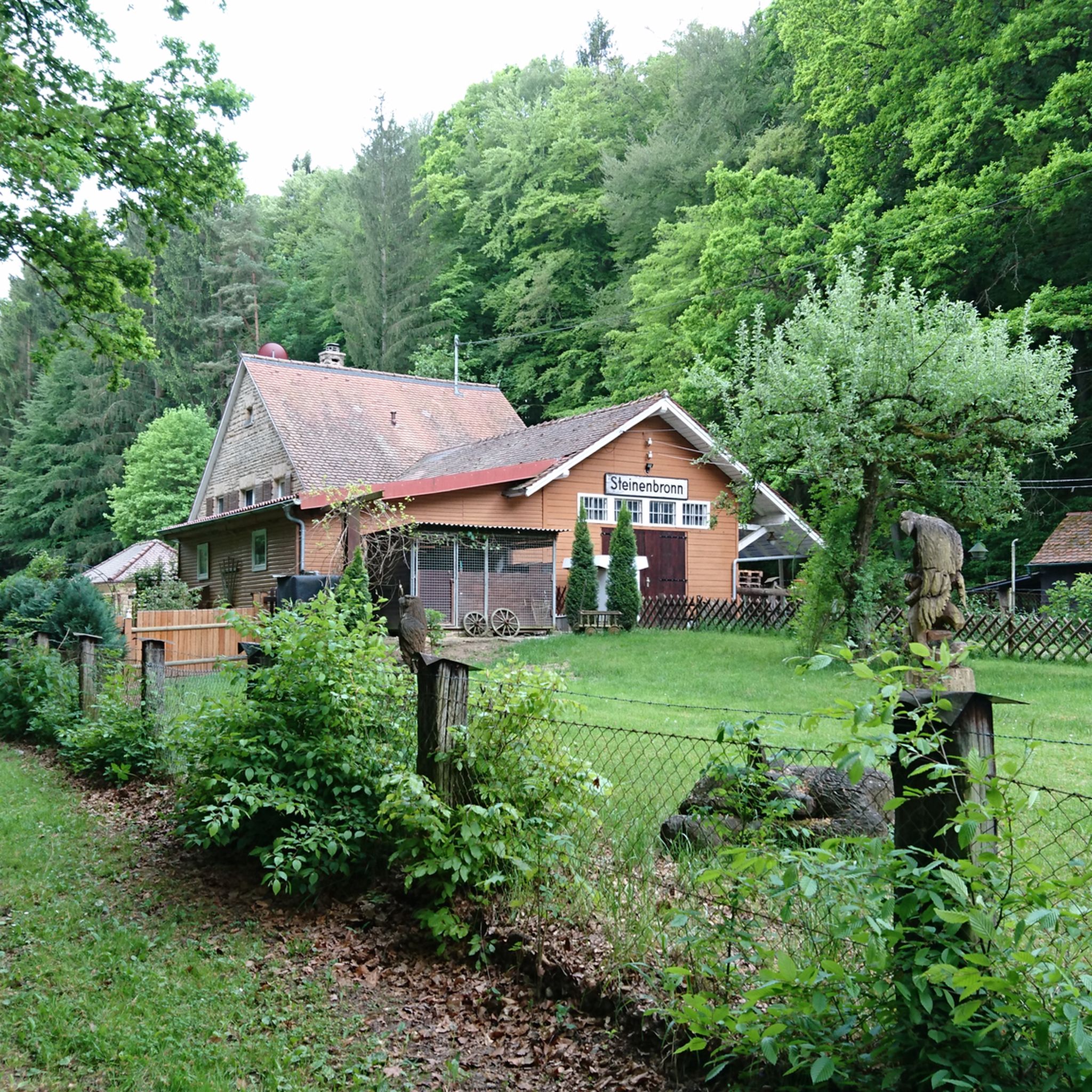
Cycling around Leinfelden-Echterdingen
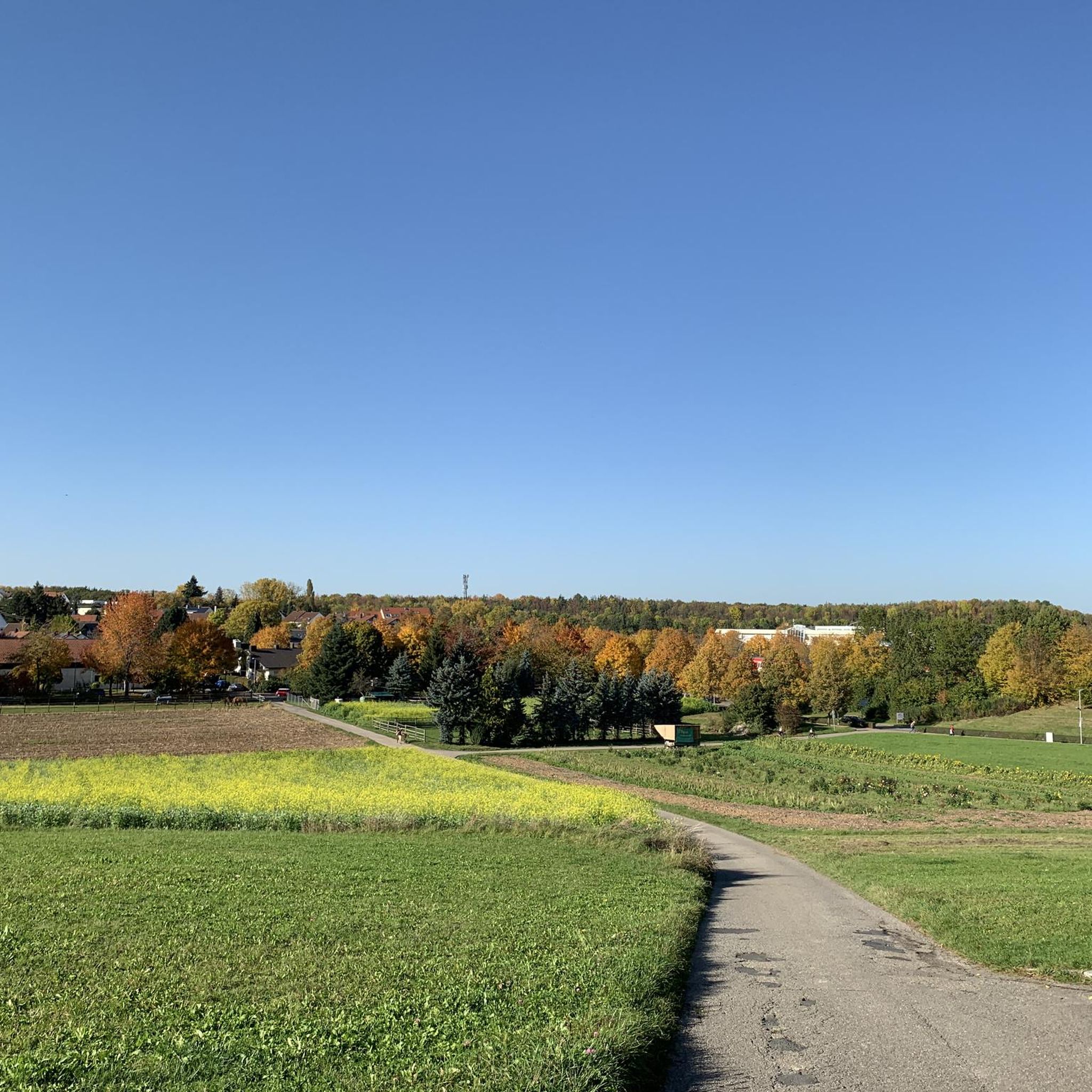
Hiking around Leinfelden-Echterdingen
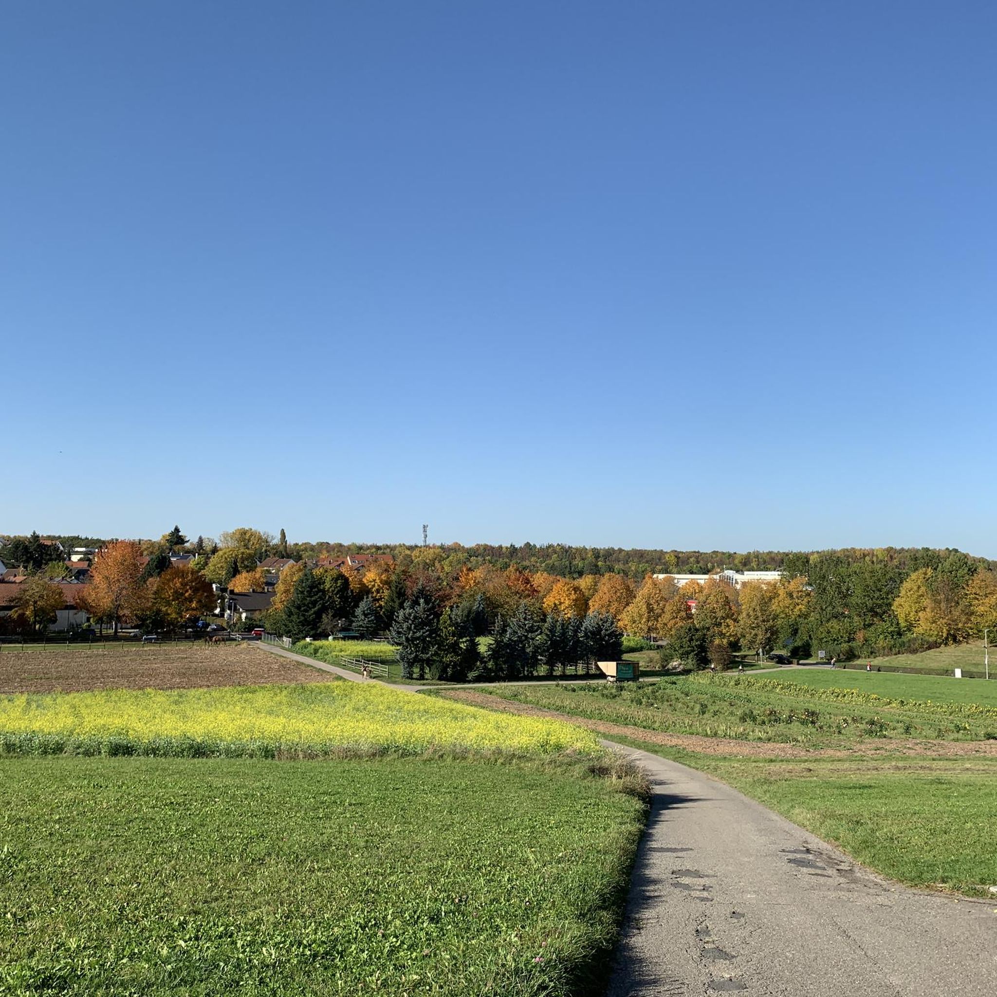
Road Cycling Routes around Leinfelden-Echterdingen
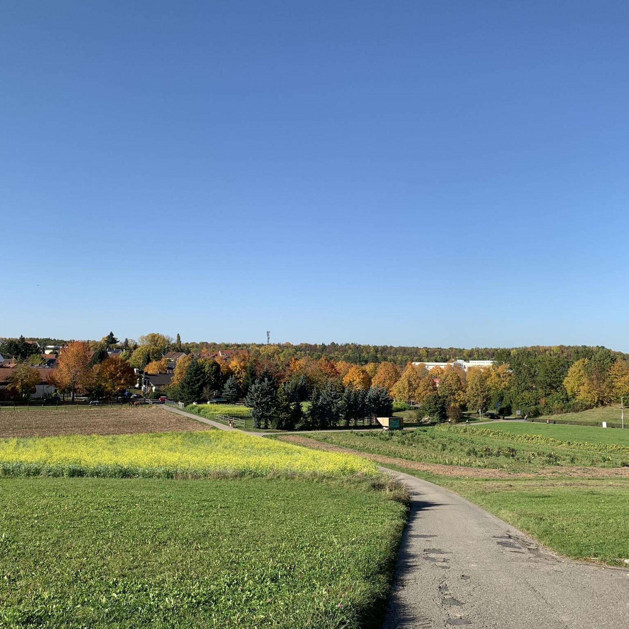
MTB Trails around Leinfelden-Echterdingen
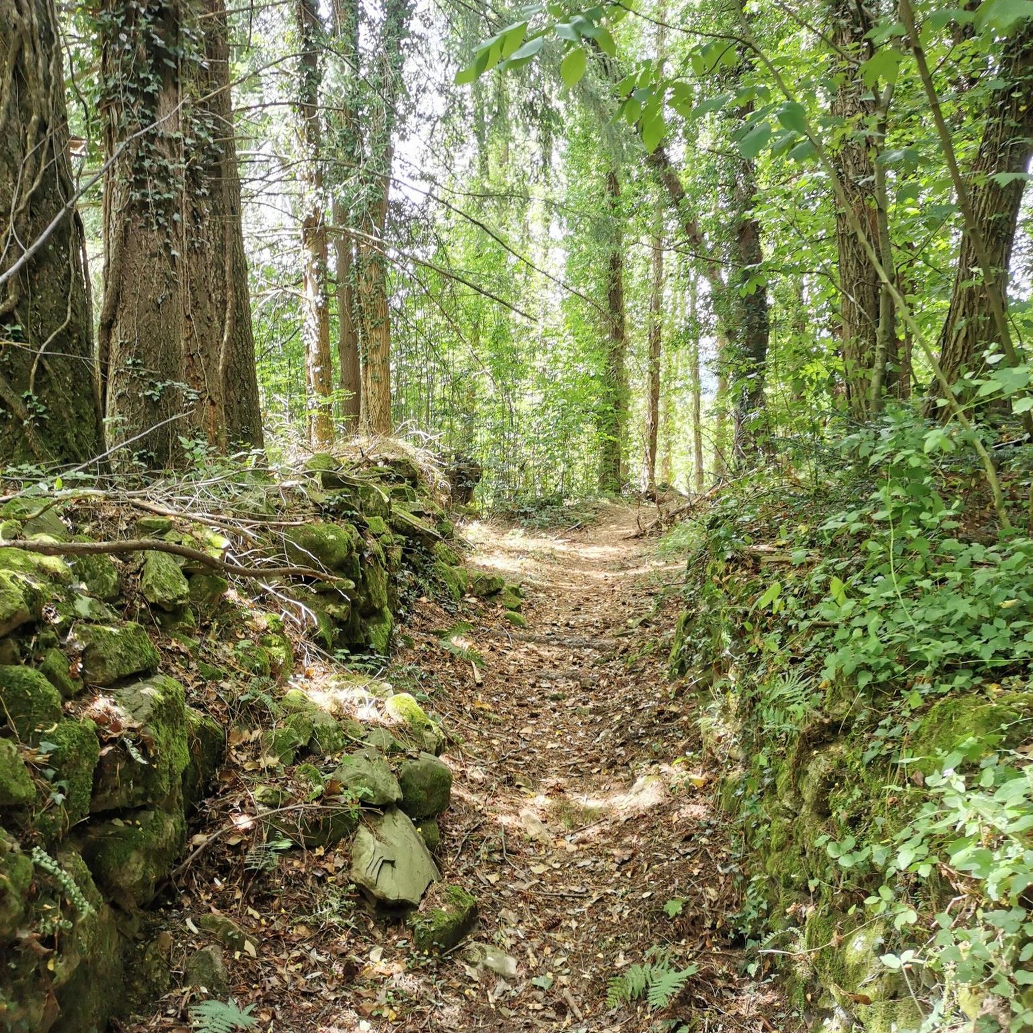
Gravel biking around Leinfelden-Echterdingen

Mountain Hikes around Leinfelden-Echterdingen
Other adventures around Leinfelden-Echterdingen


Tips from the Community

Great trail through the forest
1
0

Wonderful route through the 7-Mühlental on a former railway embankment ... approx. 8km
1
0

Public transport in the 21st century Do it yourself 🚴♂️ 🚴♂️ 🚴♂️
0
0

A fabulously beautiful railway cycle path. Always beautifully shady through the forest
2
0

If you don't have any tools with you, you'll be happy here.
0
0


A beautiful vantage point on the Schlossberg hill with seating. The Schlossberg hill was first mentioned in a Württemberg inventory book in 1572 as "Burgstall" (castle stable). As early as 1749, the name "Schloß Graben" (castle ditch) appeared in a tax register.
6
0
Frequently Asked Questions
How many running routes are available in Leinfelden-Echterdingen?
Leinfelden-Echterdingen offers a wide variety of running experiences, with over 180 routes available. These range from easy strolls to challenging trails, catering to all fitness levels.
What do other runners say about the trails in Leinfelden-Echterdingen?
The running routes in Leinfelden-Echterdingen are highly rated by the komoot community, with an average score of 4.2 stars from over 300 reviews. Users frequently praise the diverse landscapes, from the picturesque Siebenmühlental to the expansive Filder fields, and the well-maintained paths.
Are there easy jogging routes for beginners in Leinfelden-Echterdingen?
Yes, there are 23 easy running routes perfect for beginners or those looking for a relaxed jog. These routes typically feature gentle terrain and shorter distances, allowing for an enjoyable introduction to the area's natural beauty.
Can I find longer running routes for endurance training?
Absolutely. For those seeking a greater challenge, Leinfelden-Echterdingen offers 15 difficult routes, many of which are longer and feature more significant elevation changes. An example is the View of Stuttgart Airport loop from Echterdingen, which covers over 18.5 km.
What natural features can I expect to see while jogging in the region?
Jogging in Leinfelden-Echterdingen allows you to experience a diverse landscape. You'll encounter the scenic Siebenmühlental with its nature conservation areas, expansive Filder fields, charming orchards, and extensive forest areas like the Weidacher Höhe and Stadtwald. The area borders the Schönbuch Nature Park, offering varied terrain and beautiful natural surroundings.
Are there circular running routes around Leinfelden-Echterdingen?
Yes, many of the running routes in Leinfelden-Echterdingen are circular, offering convenient start and end points. A popular option is the Outdoor Fitness Station – Fitness Station loop from Stetten, which is 8.8 km long and leads through local green spaces.
Are there dog-friendly running trails in the area?
Many of the natural trails and forest paths in Leinfelden-Echterdingen are suitable for running with dogs, especially those in the Schönbuch Nature Park and the Siebenmühlental. It's always recommended to keep dogs on a leash, especially in nature conservation areas, and to be mindful of local regulations.
What are some scenic jogging routes with good viewpoints?
For scenic views, consider routes that traverse the Filder fields, especially during spring when the fruit trees are in blossom. The View of Stuttgart Airport loop from Echterdingen offers unique perspectives, including views of the airport. The Siebenmühlental also provides picturesque scenery with its historical mills and natural beauty.
Can I find routes that pass by interesting attractions or landmarks?
Yes, the region offers routes that allow you to combine your run with sightseeing. The Siebenmühlental features historical mills like the Mäulesmühle, which you can explore on routes such as the Siebenmühlental – Mäulesmühle (Mäules Mill) loop from Musberg. Additionally, the area has historical paths that provide insights into local history and geology.
Where can I find parking near jogging trails?
Many popular starting points for jogging routes, especially those in the Siebenmühlental or near the Weidacher Höhe forest area, offer designated parking facilities. The 'Run & Walk LE' initiative has also highlighted dedicated routes, often with accessible parking nearby. It's advisable to check specific route details on komoot for parking information.
Are there running options in forest areas?
Absolutely. Leinfelden-Echterdingen is rich in forest areas, providing excellent running opportunities. The Weidacher Höhe forest area has three signposted jogging and walking routes (5 km, 7.2 km, and 11.3 km), and the Stadtwald (City Forest) also features an educational trail suitable for running, allowing you to explore local flora and fauna.
Are there family-friendly running paths suitable for all ages?
Yes, many of the easier and moderate routes are suitable for families. The diverse terrain, including paths through orchards and along the Filder fields, offers pleasant and less strenuous options. The educational trail in the Stadtwald can also be a fun and engaging option for families.
Most popular routes around Leinfelden-Echterdingen
Most popular attractions around Leinfelden-Echterdingen

Get inspired with the komoot mobile app


Explore more
Browse the best Running Trails & Routes in other regions.
