The best mountain hikes around Neckargerach
5.0
(4)
8
hikers
4
hikes
Mountaineering routes around Neckargerach traverse the scenic landscapes of the Neckar-Odenwald-Kreis, characterized by the winding Neckar river valley and its surrounding forested hills. The region features a mix of dense woodlands, historic castle ruins, and elevated viewpoints offering expansive vistas. The terrain includes varied ascents and descents, providing options for different skill levels within a natural setting.
Best mountaineering routes around Neckargerach
- The most popular mountaineering route is Eberbach castle ruins – Emichsburg Ruins loop from Eberbach, a 13.9…
Last updated: July 29, 2026
5.0
(2)
2
hikers
22.3km
06:34
610m
610m
Hard mountaineering route. Very good fitness required. Easily-accessible paths. Suitable for all skill levels.
1
hikers
8.57km
02:45
340m
340m
Moderate mountaineering route. Good fitness required. Mostly accessible paths. Sure-footedness required.

Sign up for free
5.0
(1)
3
hikers
12.4km
03:46
440m
440m
Moderate mountaineering route. Good fitness required. Easily-accessible paths. Suitable for all skill levels.
5.0
(1)
2
hikers
15.0km
04:40
560m
560m
Moderate mountaineering route. Good fitness required. Easily-accessible paths. Suitable for all skill levels.
Our route recommendations are based on thousands of hikes, rides, and runs completed by other people on komoot.
Start today with a free account
Your next adventure awaits.
Login or Signup
Popular around Neckargerach
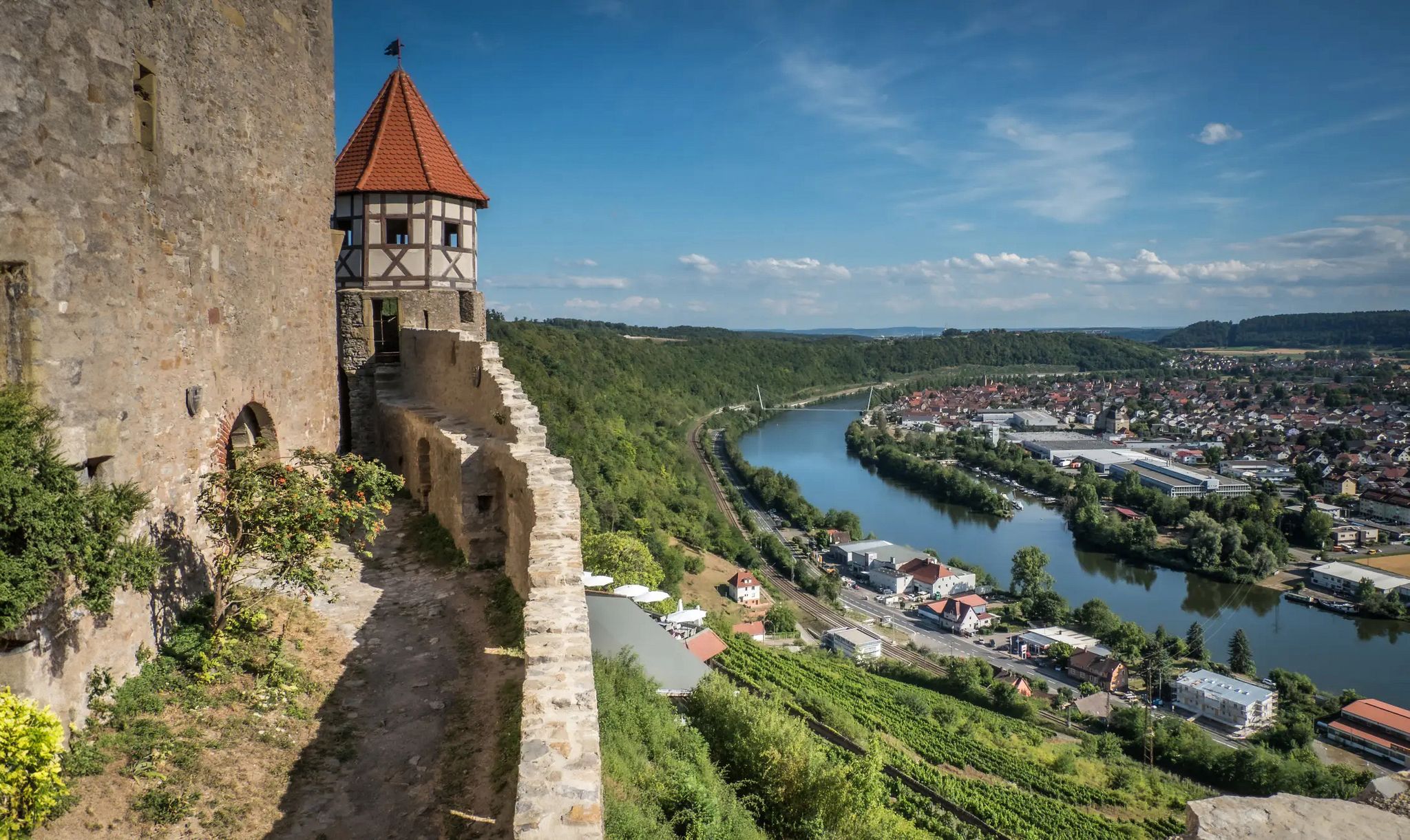
The Neckarsteig trail – 9 stages along the edge of the Odenwald
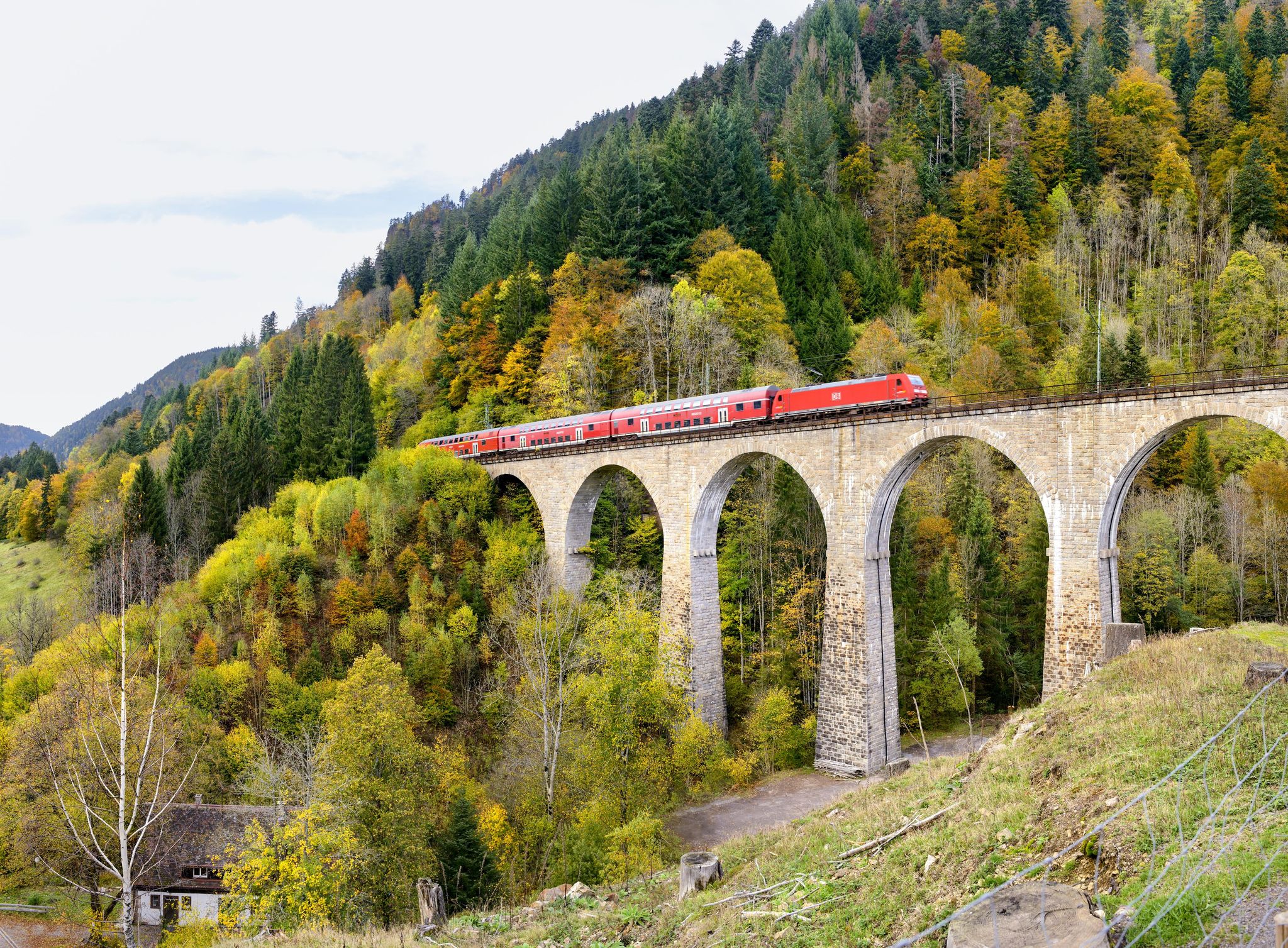
Into the countryside by bus and train – hiking in Germany’s large protected areas
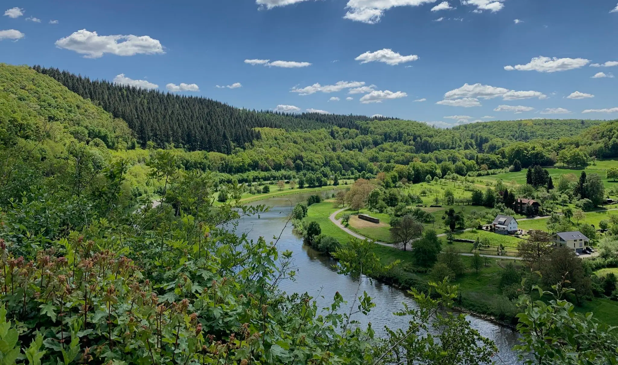
Zwischen Wein und Wasser – Mikroabenteuer im Norden Baden-Württembergs
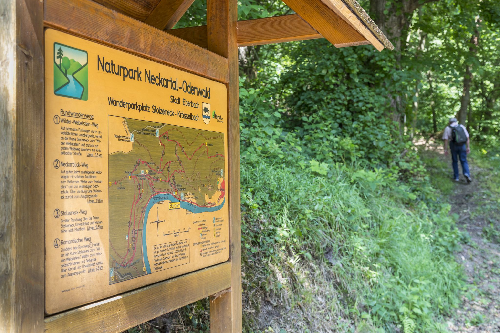
Themenwege im Naturpark Neckartal-Odenwald
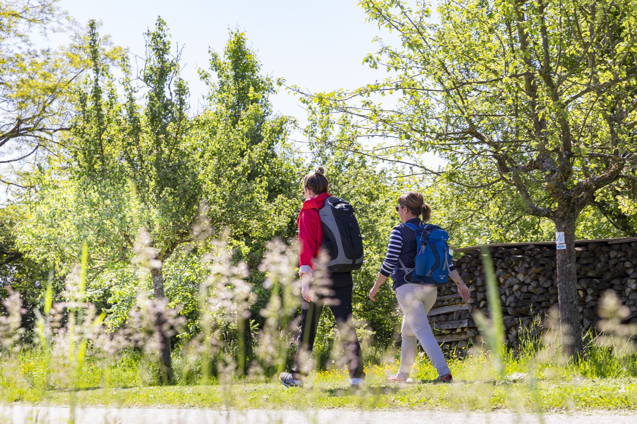
BahnWandern im Naturpark Neckartal-Odenwald
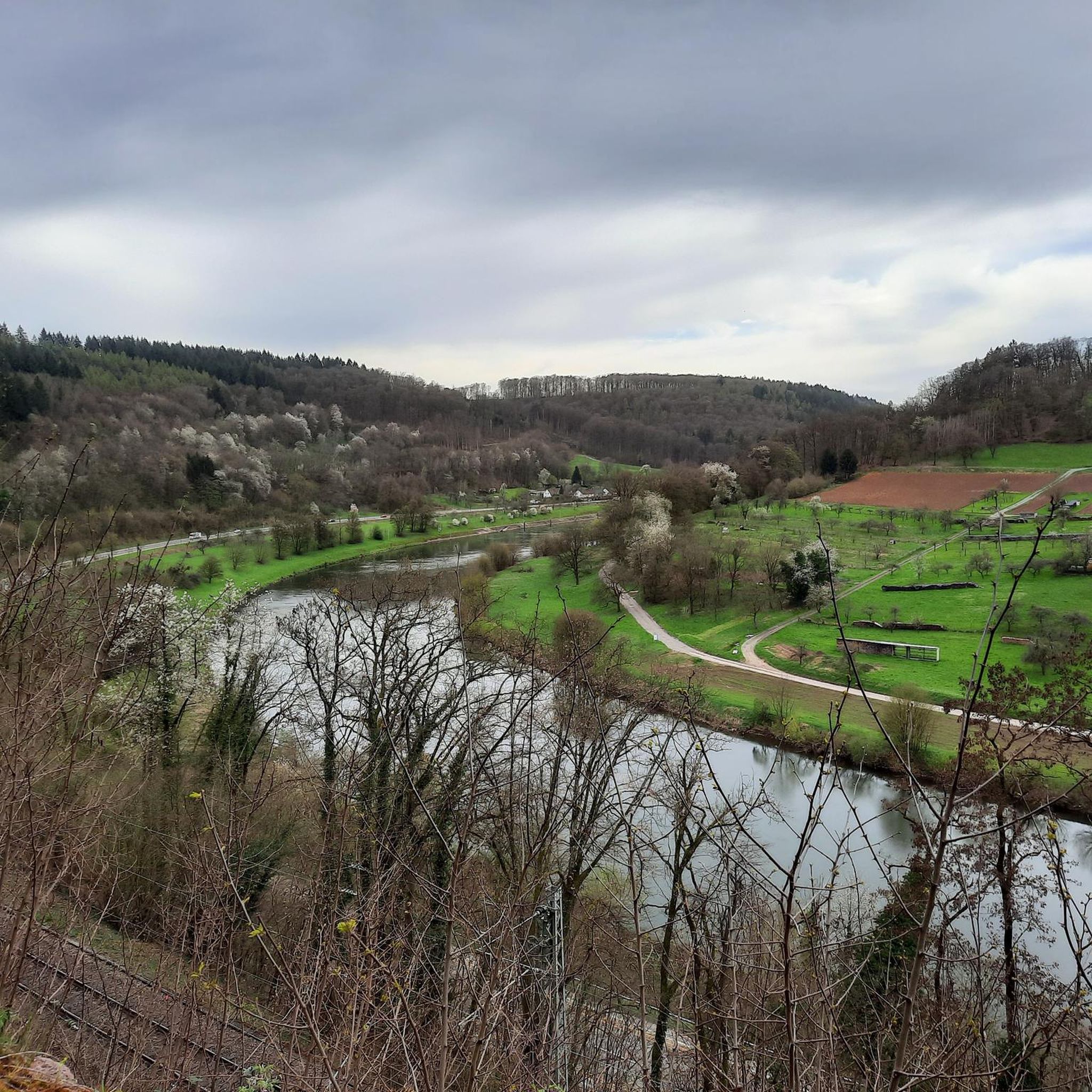
Hiking around Neckargerach
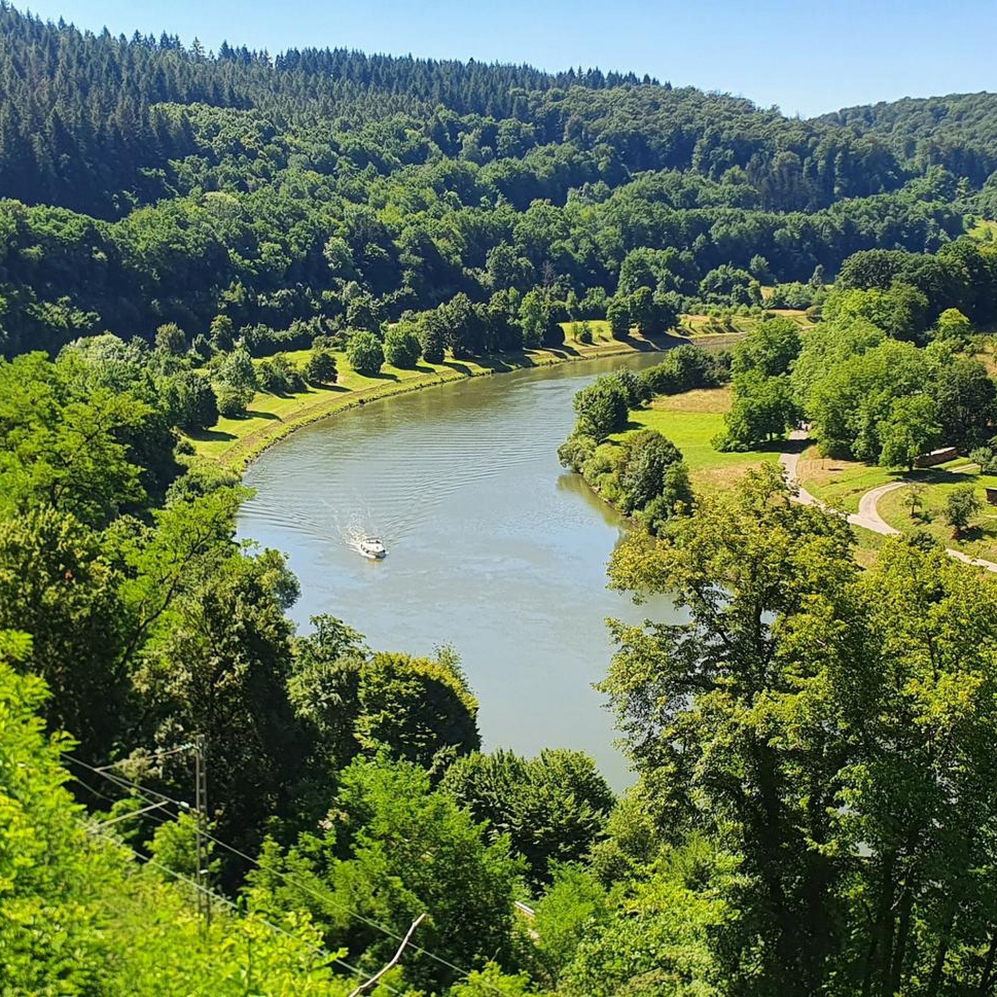
Cycling around Neckargerach
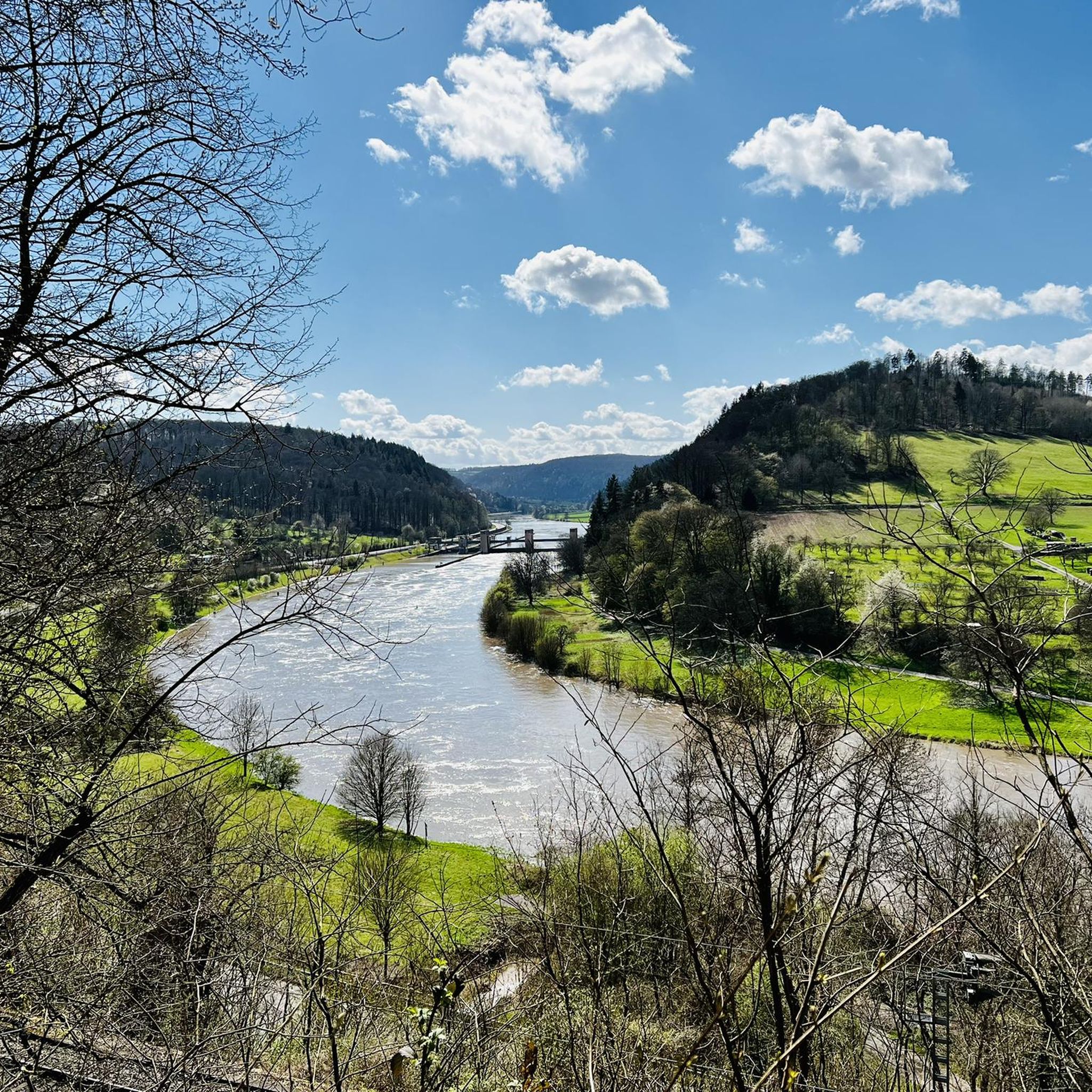
Running Trails around Neckargerach
Road Cycling Routes around Neckargerach
MTB Trails around Neckargerach
Other adventures around Neckargerach


Tips from the Community


A wonderful spot for a quiet break under the protection of a rock with a roof… great view is included for free
10
0

The small rest area is equipped with two benches and a table with an old stone slab
2
0

At the Katzenbuckelturm, the highest point in the Odenwald, there's an idyllic rest area that offers hikers a well-deserved break. Here, you'll find several seating areas perfect for enjoying the impressive view and recharging your batteries.
10
0
Are there several benches
2
1

Waypoint to the church and Stolzeneck Castle.
6
0

If you've had enough of the view, you can take a break at one of the several benches.
2
0
Frequently Asked Questions
How many mountaineering routes are available around Neckargerach?
There are several mountaineering routes around Neckargerach, offering a mix of moderate and difficult options. The komoot guide features four distinct routes, but the region provides many more opportunities to explore the Neckar river valley and its surrounding forested hills.
What is the best season for mountaineering in the Neckargerach area?
The Neckargerach region is generally suitable for mountaineering from spring through autumn. During these seasons, the weather is typically mild, and the trails through dense woodlands and along the Neckar river are most enjoyable. Winter conditions can bring snow and ice, making some routes more challenging and requiring appropriate gear.
Are there any challenging mountaineering routes near Neckargerach?
Yes, for experienced mountaineers seeking a challenge, the region offers routes like the Eberbach castle ruins – Emichsburg Ruins loop from Eberbach. This difficult 22.3 km trail involves significant elevation changes and takes over six hours to complete, exploring two historic castle ruins.
Are there any circular mountaineering routes in Neckargerach?
Many of the mountaineering routes around Neckargerach are designed as circular loops, allowing you to start and end at the same point. Examples include the Stolzeneck Castle Ruins – Heron Lake loop from Burg Stolzeneck and the View of Eberbach – Old Seed School loop from Eberbach, both offering varied terrain and scenic views.
What kind of scenic viewpoints can I expect on mountaineering routes in Neckargerach?
The mountaineering routes in Neckargerach often lead to elevated viewpoints offering expansive vistas over the Neckar river valley and the Odenwald forest. Notable viewpoints include the Cat hump tower and the View of the Neckar Valley and Mittelberg Paragliding Launch Site, providing stunning panoramic views.
What historical sites can be explored along the mountaineering routes?
The region is rich in history, with several routes passing by historic castle ruins. For instance, the Stolzeneck Castle Ruins – Heron Lake loop from Burg Stolzeneck incorporates the Stolzeneck Castle Ruins. Other historical points of interest include the Brasse Tunnel Entrance and the Cellar Vault of a Ruin.
Are there any routes that combine historical sites with natural features?
Yes, many routes in Neckargerach blend history with nature. The Stolzeneck Castle Ruins – Heron Lake loop from Burg Stolzeneck is a prime example, combining the exploration of ancient ruins with the natural beauty of Heron Lake.
What do other mountaineers enjoy most about the routes in Neckargerach?
The mountaineering routes in Neckargerach are highly rated by the komoot community, with an average score of 5.0 stars. Reviewers often praise the varied terrain, the combination of dense woodlands with historic castle ruins, and the expansive views over the Neckar river valley.
How long do mountaineering routes around Neckargerach typically take?
The duration of mountaineering routes around Neckargerach varies depending on the trail's length and difficulty. Moderate routes, such as the View of Eberbach – Old Seed School loop from Eberbach (11.4 km), can take around 3 hours 30 minutes, while more difficult and longer trails like the Eberbach castle ruins – Emichsburg Ruins loop from Eberbach (22.3 km) can take over 6 hours.
Are there any less crowded alternative mountaineering routes in the area?
While the featured routes are popular, the Neckar-Odenwald-Kreis offers a vast network of trails. For a potentially quieter experience, consider exploring routes that venture deeper into the Odenwald forest or those that focus on specific natural features away from the main historical sites. The Rockenau Lock and Weir – Stolzeneck Castle Ruins loop from Eberbach offers a moderate 14.9 km journey that provides a different perspective of the region.
What kind of terrain can I expect on mountaineering routes in Neckargerach?
The terrain around Neckargerach is characterized by varied ascents and descents through dense woodlands, along the winding Neckar river, and across open hillsides. You'll encounter a mix of forest paths, riverside trails, and sometimes rocky sections, providing a diverse and engaging mountaineering experience.
Most popular routes around Neckargerach
Most popular attractions around Neckargerach

Get inspired with the komoot mobile app


Explore more
Browse the best Mountain Hikes & Routes in other regions.
