The best running trails around Unterreichenbach
4.4
(944)
9,136
runners
13
runs
Jogging routes around Unterreichenbach traverse the Northern Black Forest, characterized by the Nagold River Valley, dense forests, and rolling hills. The region offers varied terrain for physical activity, with altitudes ranging from 292 to 633 meters. This ensures a mix of flat paths along valleys and more challenging uphill sections through the hills. The area features well-marked trails suitable for various fitness levels.
Best jogging routes around Unterreichenbach
- The most popular jogging route is Bad Liebenzell Spa Park – Avenue…
Last updated: September 28, 2026
91
runners
Hard run. Very good fitness required. Mostly paved surfaces. Suitable for all skill levels.
4.5
(2)
90
runners
16.0km
01:41
170m
170m
Hard run. Very good fitness required. Mostly paved surfaces. Suitable for all skill levels.

5.0
(2)
23
runners
5.48km
00:36
100m
100m
Moderate run. Good fitness required. Mostly paved surfaces. Suitable for all skill levels.
5.0
(1)
17
runners
25.3km
03:00
590m
590m
Hard run. Very good fitness required. Mostly accessible paths. Some sure footedness required.
5.0
(1)
5
runners
5.93km
00:41
140m
140m
Moderate run. Good fitness required. Mostly paved surfaces. Suitable for all skill levels.
Get access to more routes and recommendations from other explorers.
Already have an account?
Our route recommendations are based on thousands of hikes, rides, and runs completed by other people on komoot.
Start today with a free account
Your next adventure awaits.
Popular around Unterreichenbach
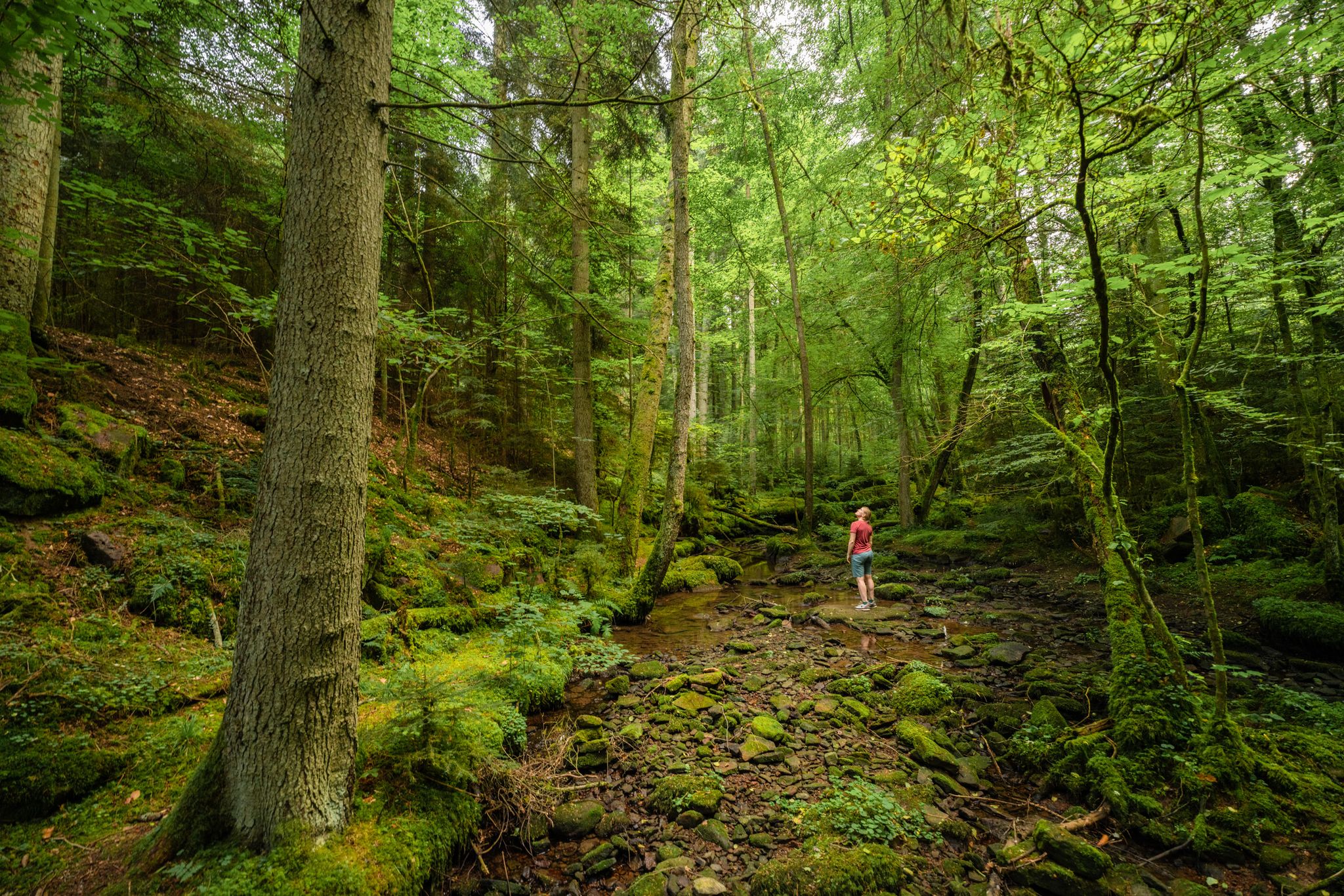
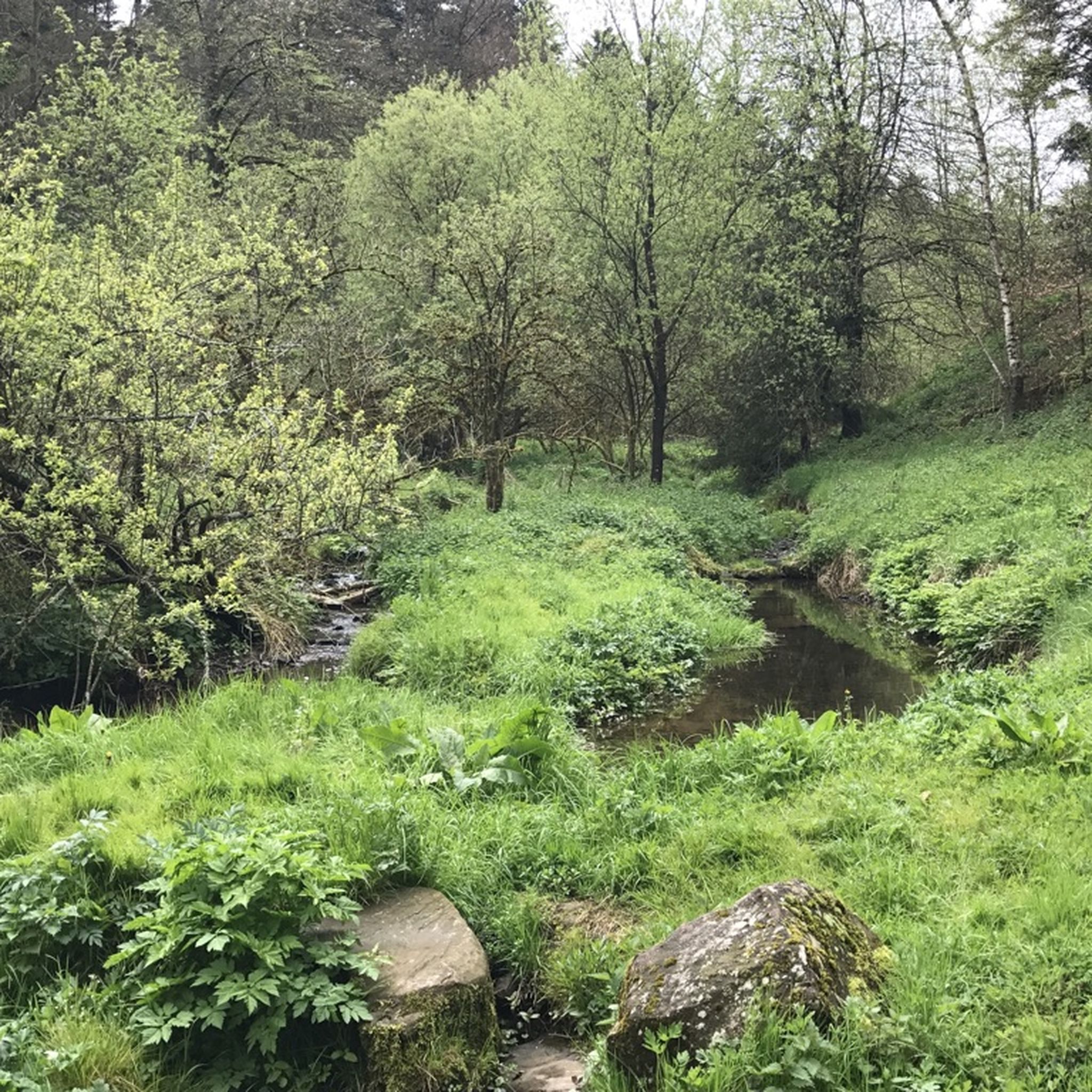
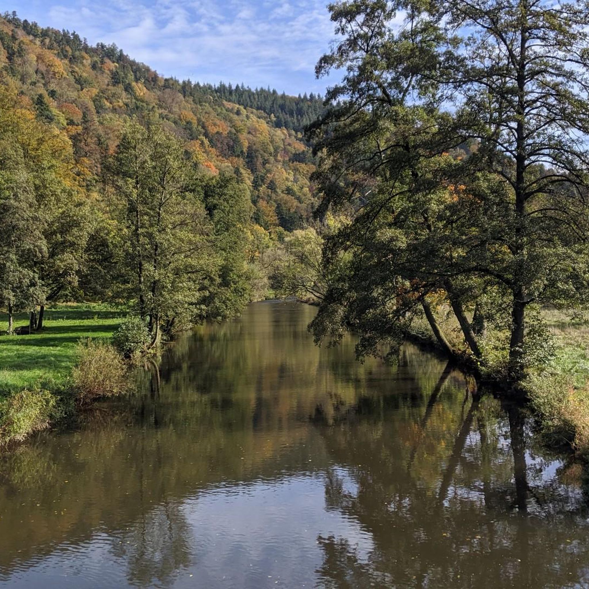

Other adventures around Unterreichenbach

Tips from the Community

The most beautiful part of the Nagoldtalradweg is after the Pfrondorfer Mühle until Pforzheim. Continuously paved and there are always opportunities to dangle your feet in the water. Especially in the Monbachtal, the numerous restaurants invite you to stop. If you arrive outside opening hours, vending machines are available around the clock. Also a popular starting point for hikers who want to dive into the wild Monbach gorge. Additionally, you can also play a round of Godi Golf here.
6
0

Especially after a long hike through the Monbachschlucht, you can look forward to the soothing Kneipp pool (not usable in the winter months).
4
0

Pay special attention to pedestrians here!
0
0
At SOPHI PARK Bad Liebenzell, the 100 most important wisdoms, conceived by renowned philosophers, poets, and thinkers, are vividly presented. From antiquity through the Middle Ages to the Renaissance, the Enlightenment, and the modern era, bridging the gap to philosophical wisdom from around the world. From Socrates, Aristotle, Diogenes, and Plato to Descartes, Hegel, Einstein, Nietzsche, and Popper, as well as Ernst Jünger and Hermann Hesse. Imaginatively presented in one of the most beautiful valleys along the Nagold River, in the immediate vicinity of the 600-year-old thermal spa hotel.
5
0
The Apothecary's Garden in Bad Liebenzell comprises a total of more than 160 different plants, arranged according to their various uses. Thanks to the initiative of the Black Forest Association in collaboration with pharmacist Friedrich Böckle, the Apothecary's Garden was created in July 2000 as a kind of "open-air library" of herbal medicine in Bad Liebenzell's spa gardens.
6
0
Covered wooden bridge over the Nagold with two bulges in the middle of the bridge.
12
0

Located on the Quellenpfad trail below the road. A beautiful section of the trail… a must-see when hiking through the Eulenbachtal valley.
1
0
Bridge over the Monbach, which can be used as a beautiful view of the stream or, after crossing the bridge, you can hike along the path to Neuhausen.
10
0
Frequently Asked Questions
How many running routes are available in Unterreichenbach?
Unterreichenbach offers a vast network of over 660 running routes. These trails cater to various fitness levels, ranging from leisurely jogs along river valleys to more challenging climbs through dense forests and rolling hills.
Are there easy jogging routes suitable for beginners or families?
Yes, there are approximately 78 easy jogging routes in Unterreichenbach. Many of these follow the flat paths along the Nagold River Valley, providing a gentle and scenic experience. The region research also highlights that some trails are specifically designed to be child-friendly and well-signposted, making them suitable for families.
Can I find running trails that feature waterfalls or gorges?
Absolutely! The region is known for its natural beauty. You can explore routes that pass through the unique Monbach Gorge, which offers a wild and romantic natural experience with multiple water crossings. A specific route, Monbach Waterfall – Monbach Gorge loop from Monbach-Neuhausen, is a moderate 6.5 km trail that takes you directly through this stunning area.
Are there any circular running routes in Unterreichenbach?
Yes, many of the running routes in Unterreichenbach are circular, allowing you to start and end at the same point. For example, the popular Kurpark Bad Liebenzell – Avenue Along the Nagold loop from Unterreichenbach is a 17.2 km circular trail that follows the Nagold River.
What kind of scenery can I expect on the running trails?
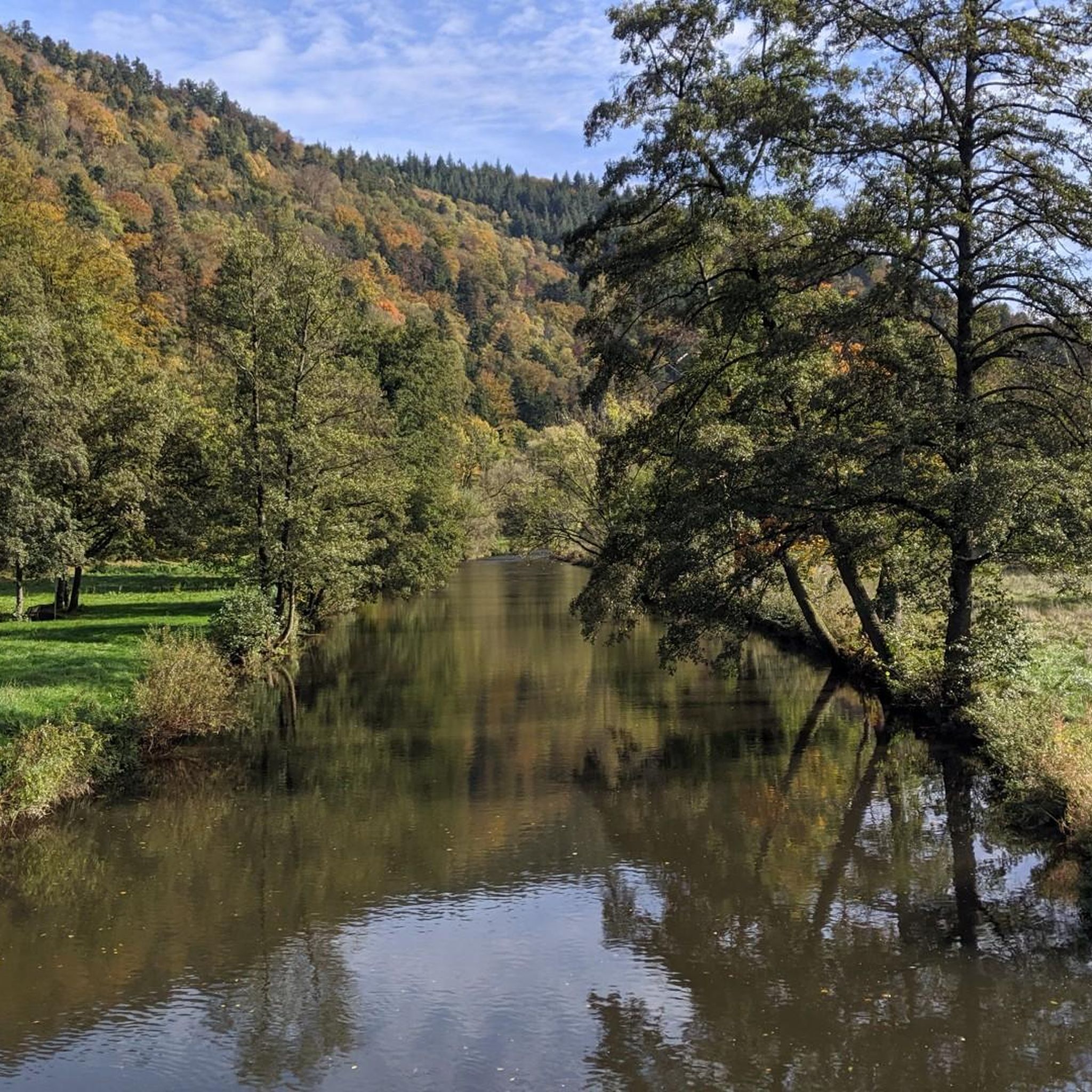
The running trails in Unterreichenbach offer incredibly diverse scenery. You'll experience the picturesque Nagold River Valley with its green meadows, dense Black Forest landscapes of fir and spruce trees, rolling hills, and idyllic natural routes through valleys like Eulenbach and Kapfenhardter. Higher elevations, such as the Kaltenbronn, also provide panoramic views of the entire Black Forest.
Are the running routes in Unterreichenbach dog-friendly?
While specific dog regulations for the Naturpark Schwarzwald Mitte/Nord should always be checked, the extensive network of well-marked trails in Unterreichenbach is generally suitable for outdoor activities with dogs. Many trails offer natural environments away from crowds, which can be ideal for running with your canine companion.
What do other runners enjoy most about jogging in Unterreichenbach?
The running routes in Unterreichenbach are highly rated by the komoot community, with an average score of 4.4 stars from over 850 reviews. Runners often praise the varied terrain, the serene natural environment, and the beautiful scenery along the Nagold River and through the dense Black Forest.
Can I find routes that pass by interesting landmarks or points of interest?
Yes, several routes offer glimpses of local landmarks and natural features. For instance, the Nagoldtalweg, which follows the river, allows access to historic bridges and old mills. You can also find routes near natural monuments like the Monbachtal Gorge or the Würm Valley.
Are there any moderate running trails for those looking for a bit more challenge?
Yes, the majority of routes in Unterreichenbach are classified as moderate, with over 500 such trails available. A great option is the Birch-lined avenue along the Nagold – Bad Liebenzell Town Lake loop from Monbach-Neuhausen, a 7.3 km path that provides a serene experience along the river while offering a good workout.
What is the best time of year to go running in Unterreichenbach?
Spring and autumn are particularly beautiful for running in Unterreichenbach. In spring, nature displays colorful flower meadows, while autumn brings bright yellow deciduous trees. The refreshing environment of the Black Forest makes it pleasant for outdoor activities throughout these seasons.
Are there any longer, more challenging running routes?
For those seeking a longer and more challenging run, Unterreichenbach offers several difficult routes. The View of Weißenstein Station loop from Unterreichenbach is a 16.0 km trail leading through dense forests and rolling hills, often completed in about 1 hour 41 minutes, providing a significant workout.
Are the trails well-marked for runners?
Yes, Unterreichenbach boasts an extensive network of well-marked trails. Local routes are typically marked by a yellow rhombus, and clear signposts indicate locations, altitudes, directions, and distances, making navigation straightforward for runners.
Most popular routes around Unterreichenbach
Most popular attractions around Unterreichenbach

Get inspired with the komoot mobile app


Explore more
Browse the best Running Trails & Routes in other regions.
