The best running trails around Calw
4.4
(952)
11,396
runners
1,146
runs
Jogging around Calw offers diverse landscapes within the scenic Nagold Valley and on the edge of the Northern Black Forest. The region features the Nagold River, providing opportunities for runs along riverbanks with relatively flat terrain. Beyond the valley, Calw is surrounded by meadows and a hilly "Gau" landscape, offering routes with varied elevation changes. Extensive coniferous forests of the Black Forest are easily accessible, providing natural trails for runners.
Best jogging routes around Calw
- The most popular jogging route…
Last updated: August 4, 2026
5.0
(4)
143
runners
26.9km
03:08
680m
680m
Hard run. Very good fitness required. Mostly accessible paths. Some sure footedness required.
4.6
(7)
131
runners
Moderate run. Good fitness required. Mostly paved surfaces. Suitable for all skill levels.

Sign up for free
4.0
(1)
106
runners
Hard run. Very good fitness required. Mostly paved surfaces. Suitable for all skill levels.
101
runners
Moderate run. Good fitness required. Mostly paved surfaces. Suitable for all skill levels.
4.9
(11)
92
runners
Moderate run. Good fitness required. Mostly paved surfaces. Suitable for all skill levels.
5.0
(5)
87
runners
11.0km
01:10
120m
120m
Moderate run. Good fitness required. Mostly paved surfaces. Suitable for all skill levels.
4.7
(7)
88
runners
Moderate run. Good fitness required. Mostly paved surfaces. Suitable for all skill levels.
4.4
(5)
87
runners
10.8km
01:12
210m
210m
Moderate run. Good fitness required. Mostly paved surfaces. Suitable for all skill levels.
5.0
(3)
87
runners
13.7km
01:25
80m
80m
Moderate run. Good fitness required. Mostly paved surfaces. Suitable for all skill levels.
5.0
(2)
65
runners
7.69km
00:49
90m
90m
Moderate run. Good fitness required. Mostly paved surfaces. Suitable for all skill levels.
Get access to more routes and recommendations from other explorers.
Sign up for free
Already have an account?
Our route recommendations are based on thousands of hikes, rides, and runs completed by other people on komoot.
Start today with a free account
Your next adventure awaits.
Login or Signup
Popular around Calw
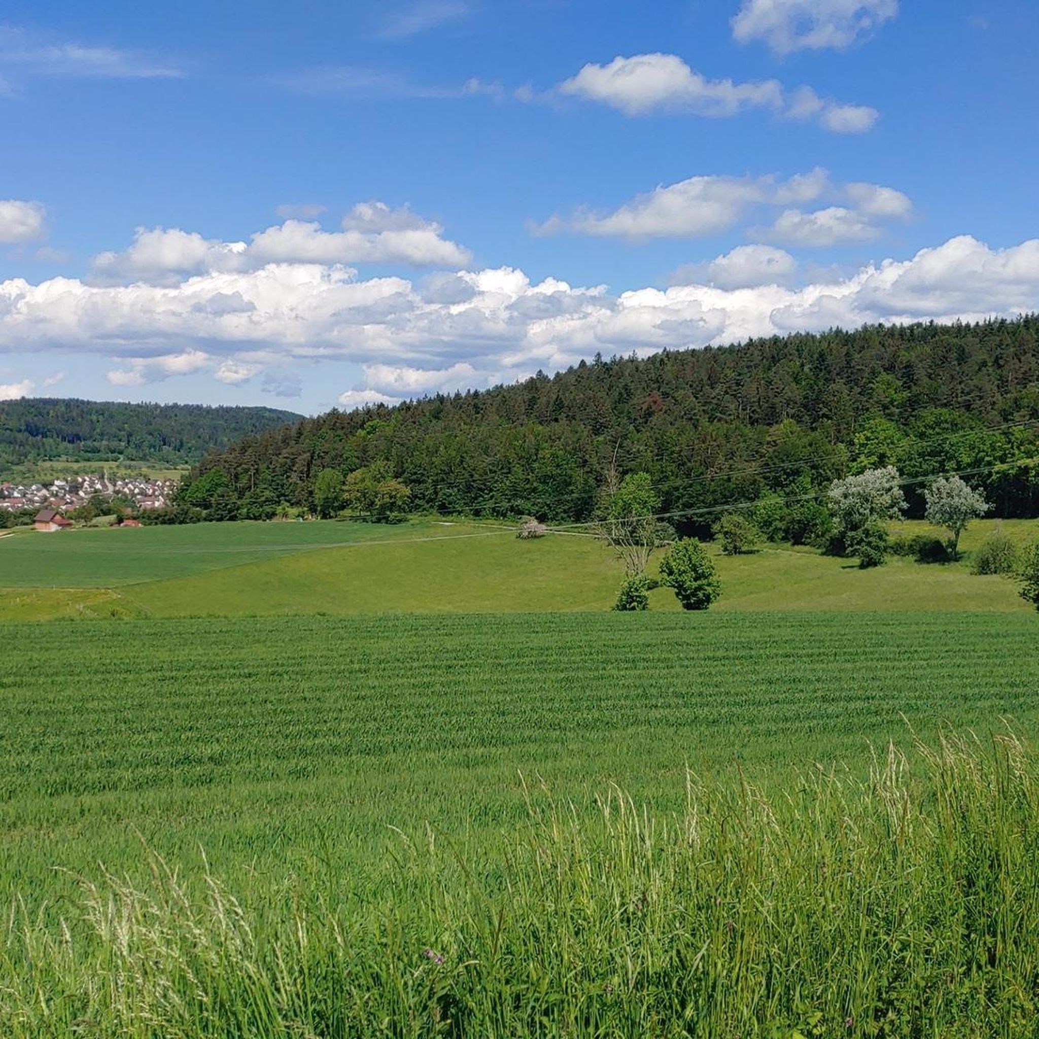
Running Trails around Nagold
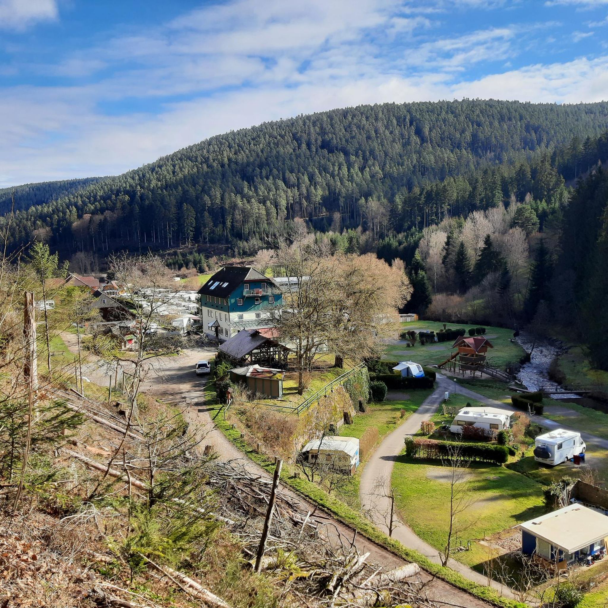
Running Trails around Bad Wildbad
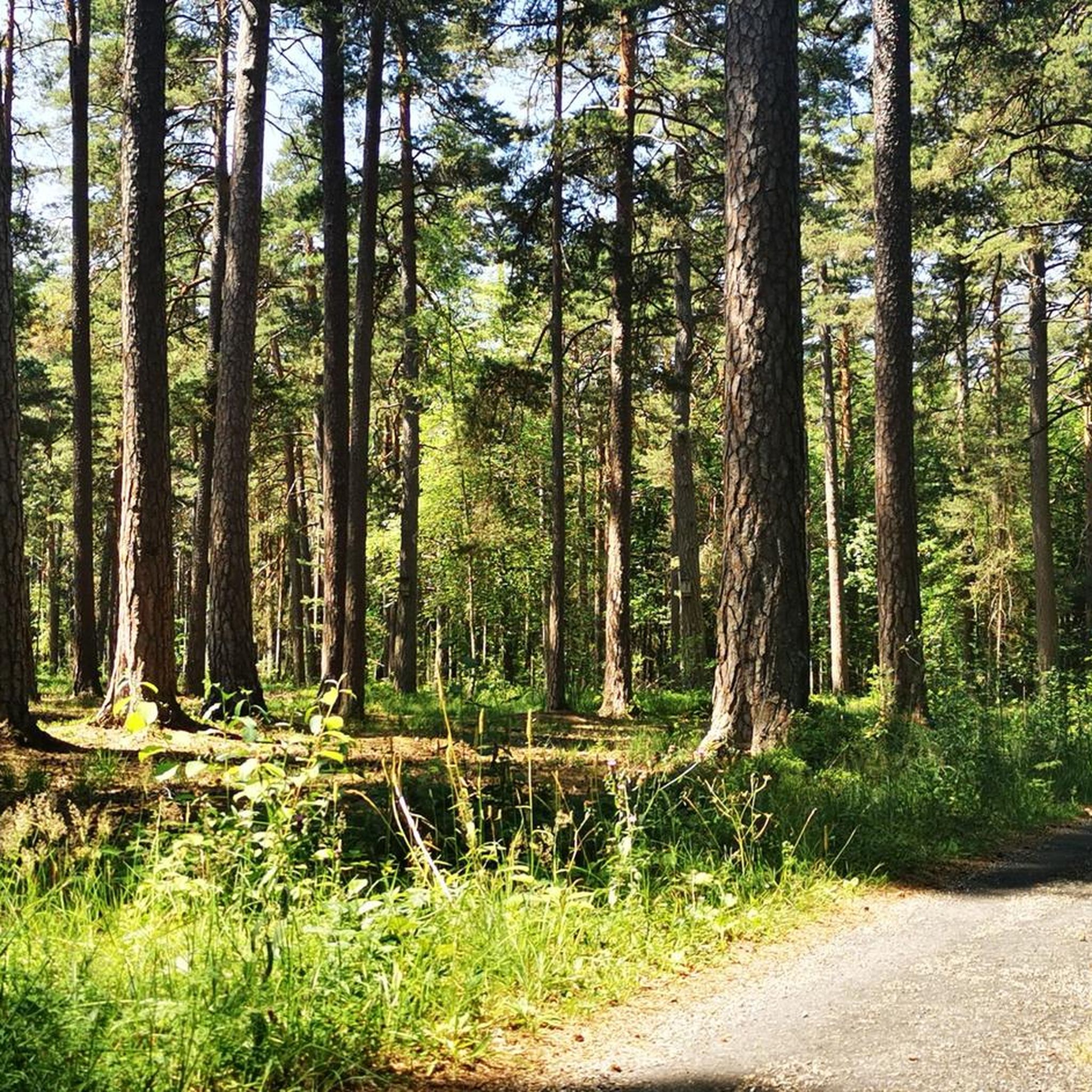
Running Trails in Hesel-, Brand- Und Kohlmisse
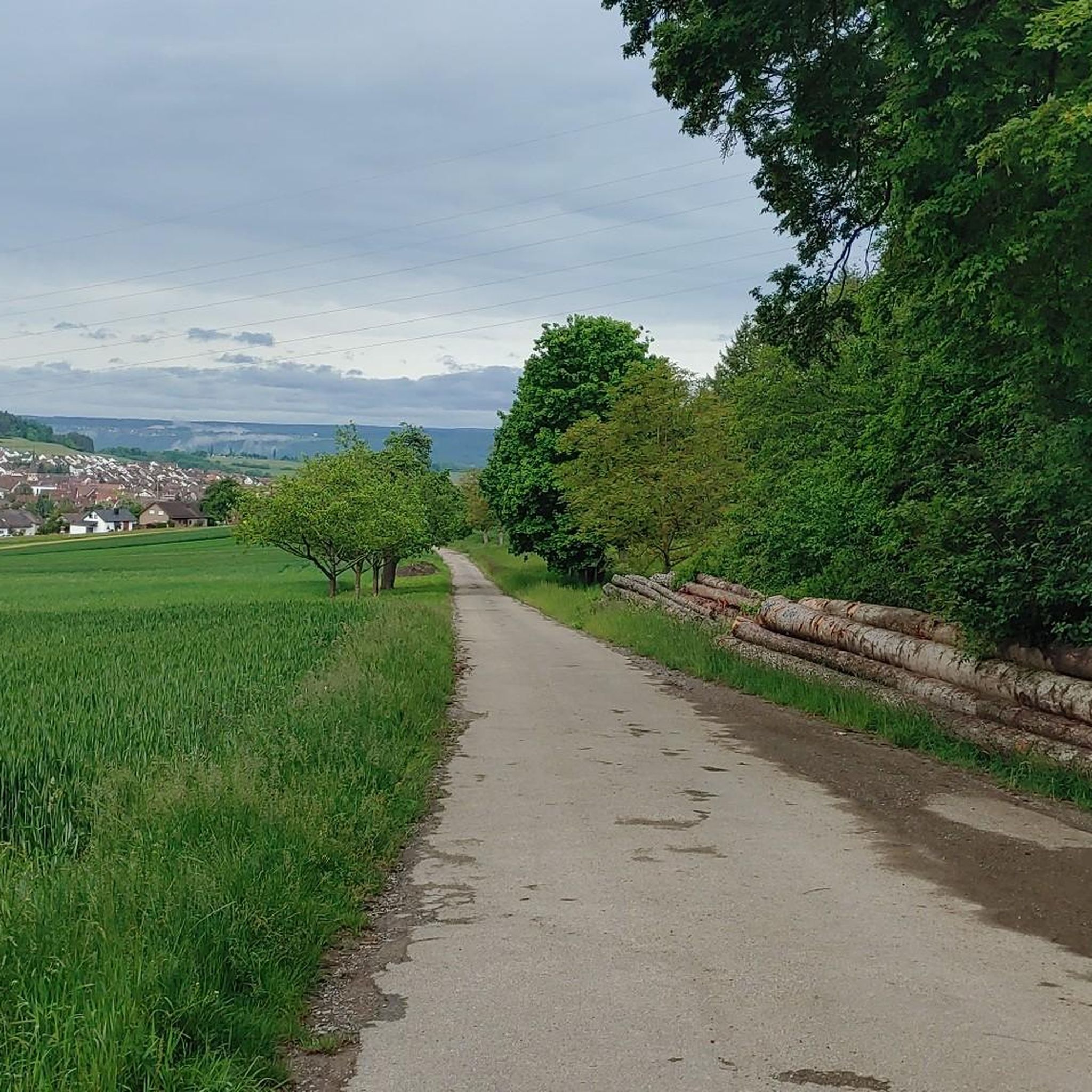
Running Trails in Würm-Heckengäu
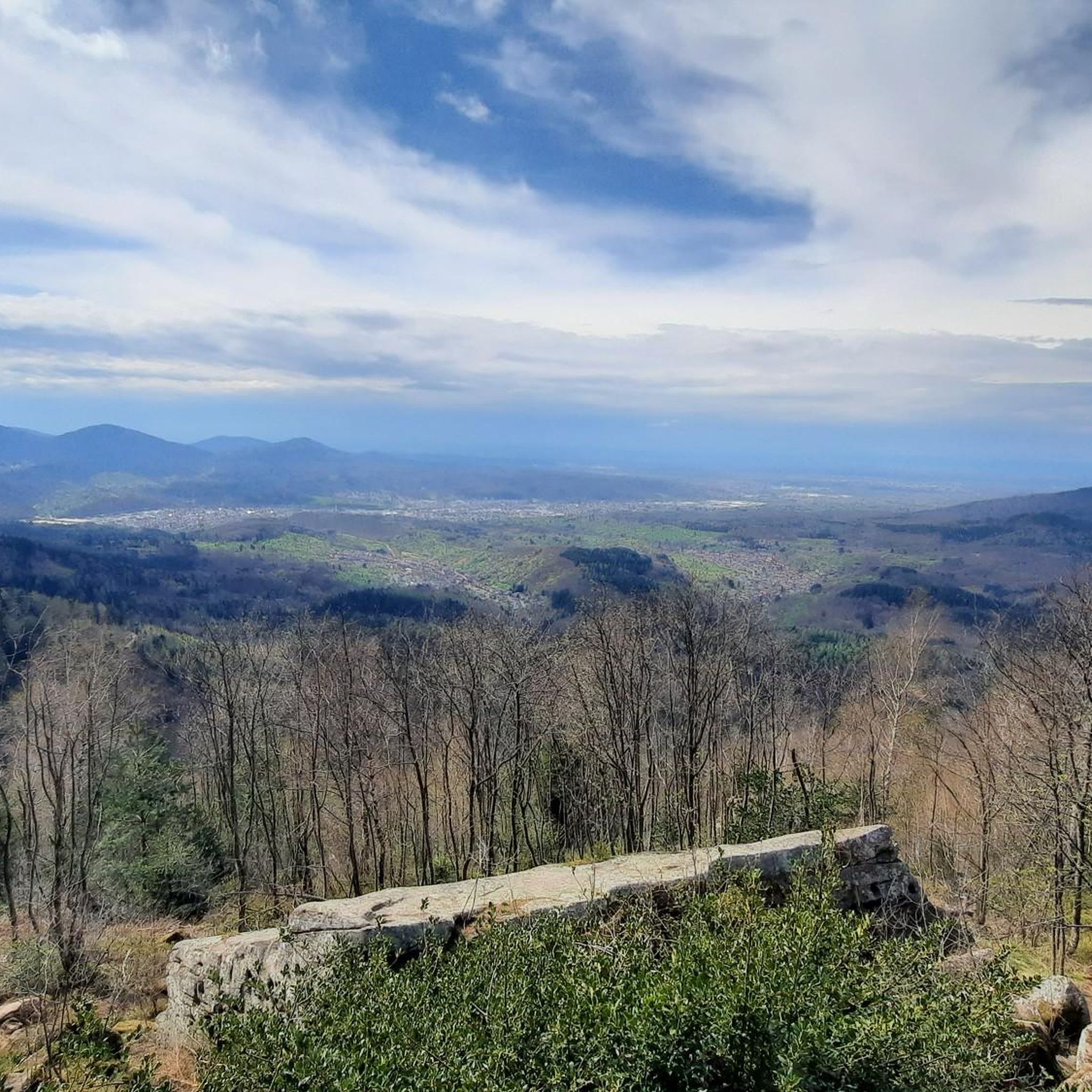
Running Trails around Bad Herrenalb
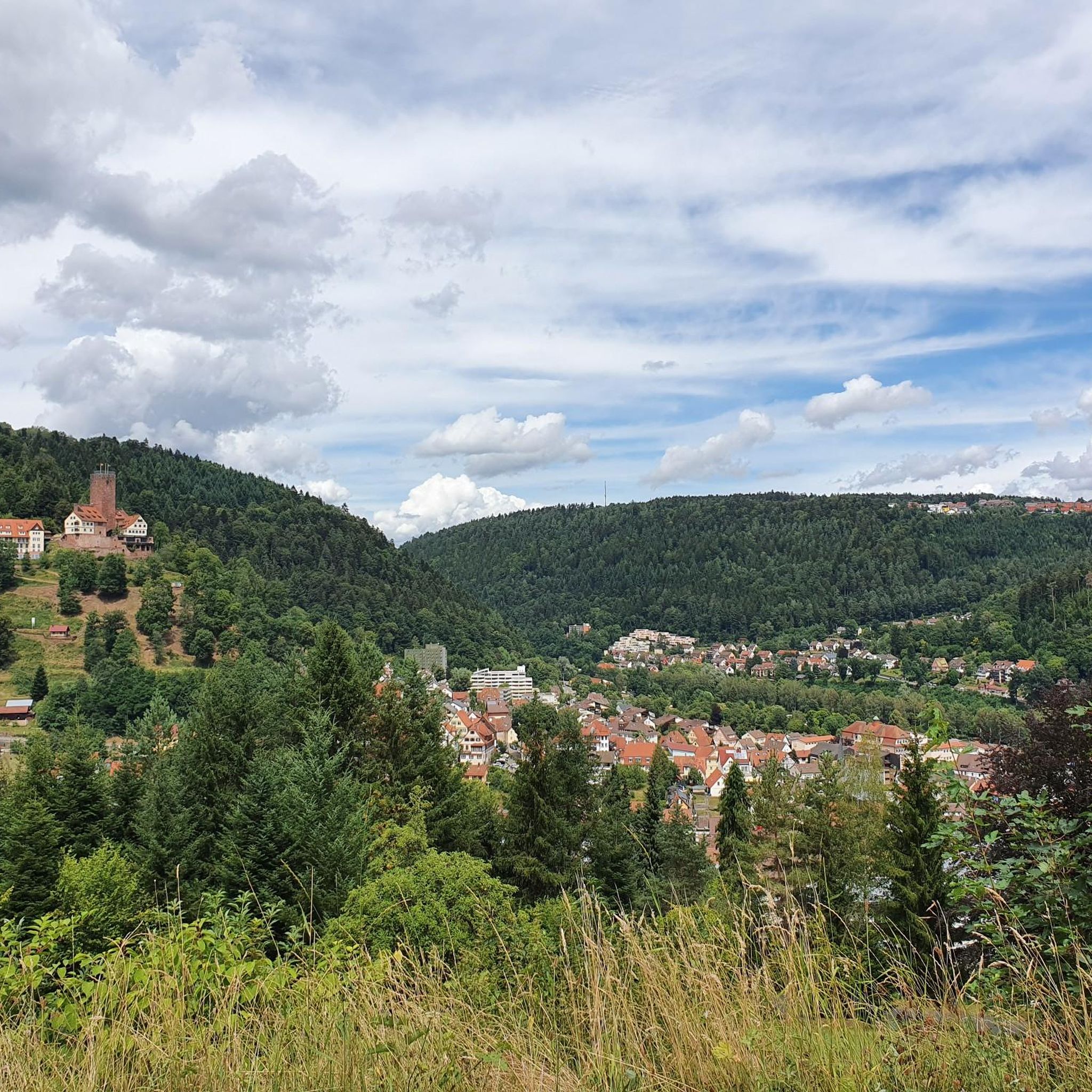
Running Trails around Bad Liebenzell
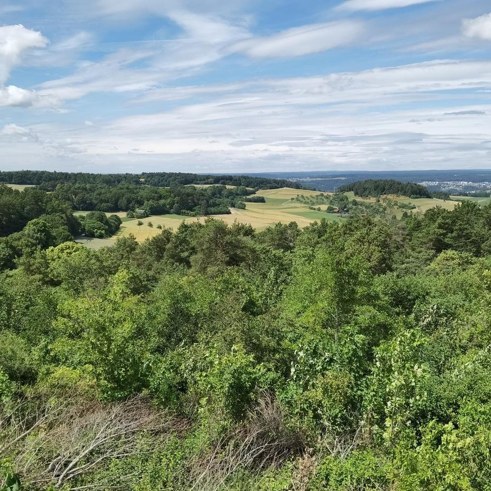
Running Trails around Althengstett
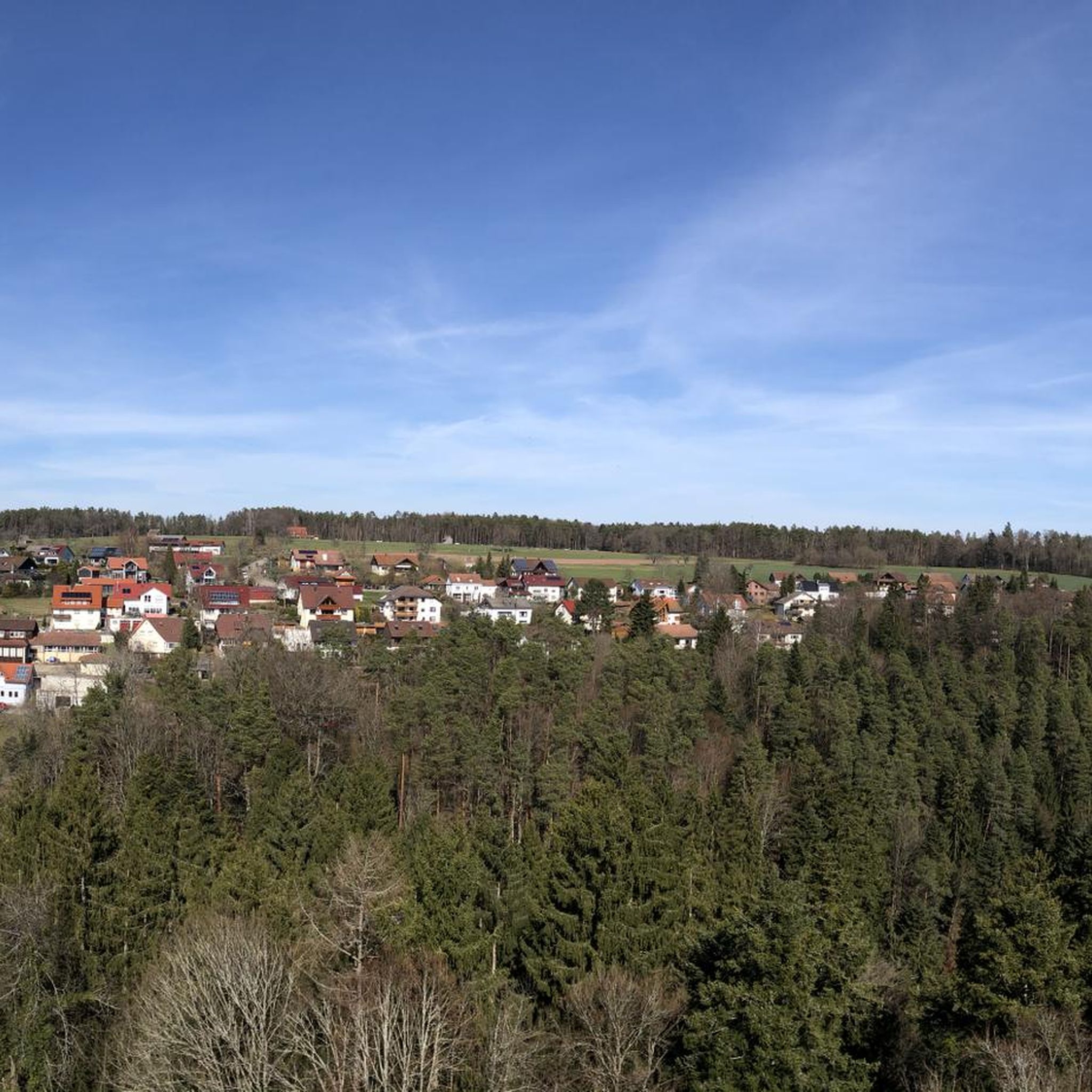
Running Trails around Bad Teinach-Zavelstein
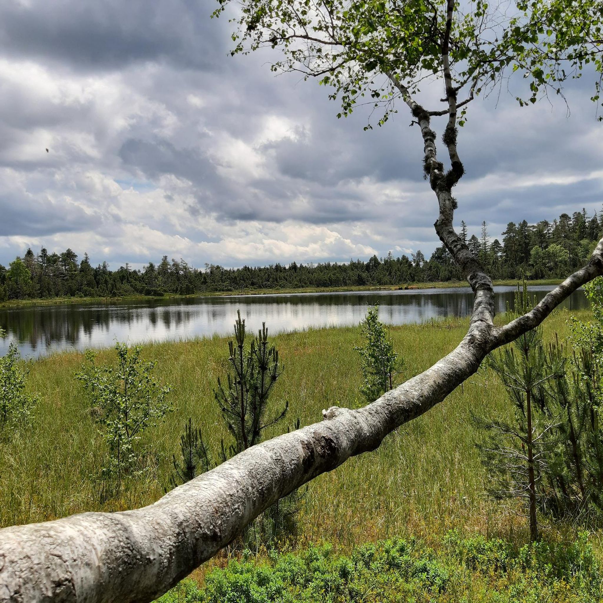
Running Trails in Wildseemoor (Bannwald)
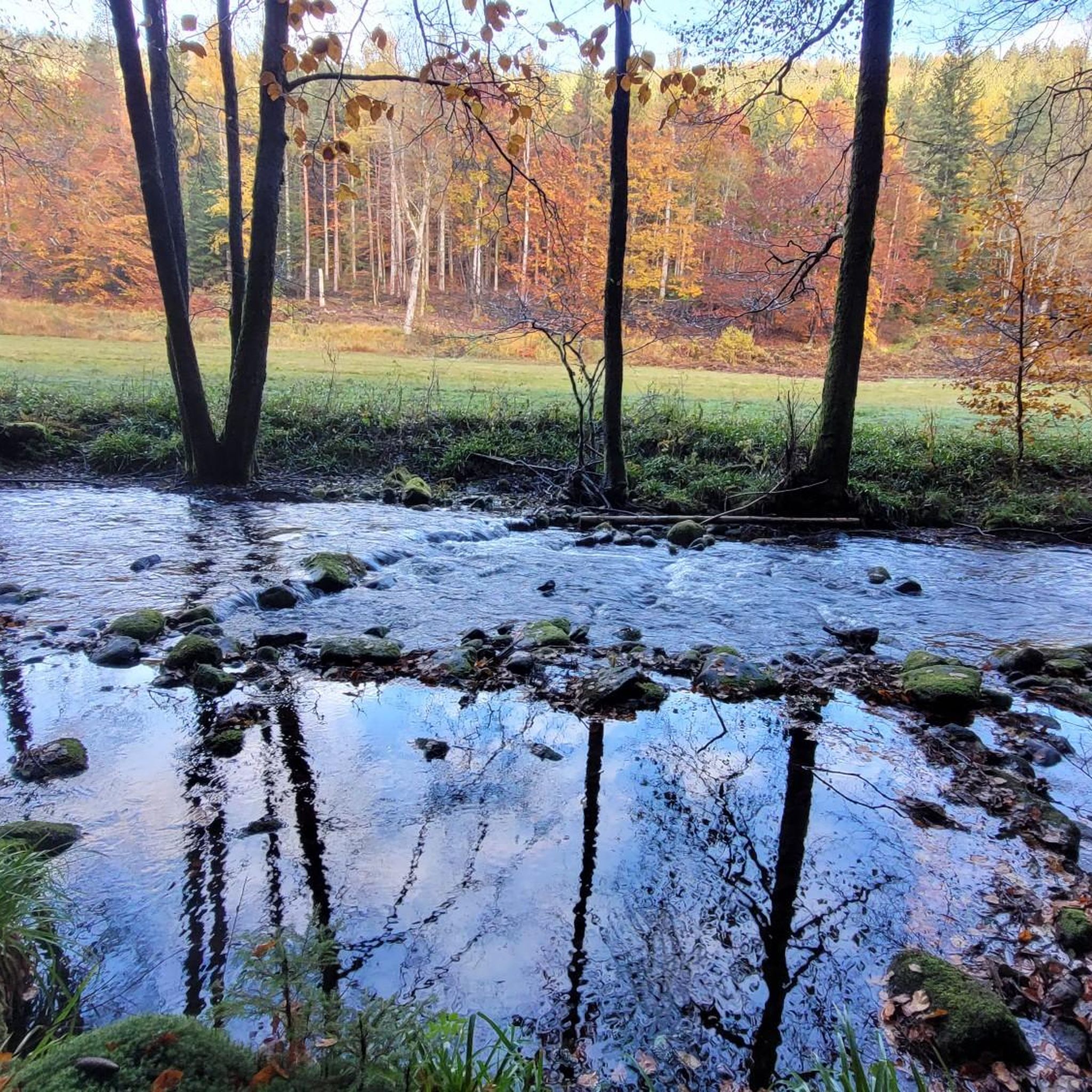
Running Trails in Eyach-Und Rotenbachtal
Other adventures around Calw


Tips from the Community

The Goldkuppel Pavilion in the park.
0
0

Moorish pavilion from 1875 with its golden dome invites you to linger or is a popular backdrop for green weddings.
0
0

The Nonnenwag water retention basin or Flößersteg Monbach is located at an altitude of 308 m above sea level. The Nagold above Pforzheim was navigable by means of 95 artificially constructed impoundments, with a navigable length of 88 km. Around 1890, the water retention basin was rebuilt as a waterworks. Later, a fish ladder and an eel ladder were built. An information board provides further technical details.
7
0

Pay special attention to pedestrians here!
0
0

The Lengenbach, a tributary of the Nagold River, is dammed to create the Stadtsee (City Lake). A footpath encircles the lake, measuring just 300 meters. The walk is worthwhile, as the path offers a variety of scenic views. An information panel on the lake's shore explains that the Stadtsee was originally a reservoir for powering the waterwheel of the former Lower Mill. It also served as a trout pond, providing sustenance for the local fish. It remains unclear whether the dam was commissioned by Hirsau Abbey or by the local lords of the castle. Since 2013, a sandstone statue has stood on the lake's shore. It depicts the legendary giant "Erkinger," who once ruled Liebenzell Castle. As of 2021, the mill site located between the Stadtsee and St. Blasius Church awaits development. In this context, the Lengenbach stream is to flow above ground again from the city lake to the Nagold river. Housing and public parking are planned for the area.
1
0

Beautiful waterwheel with a historical background
5
0

🚲 Excursion tip The bridge is the perfect starting or passing point for an exploration tour through Wildberg.
2
0

The new house was a so-called „Vaudeville Theater“. Vaudeville has its origins in Parisian fairground theater and is often associated with music and dance. In 1872, the private theater came into the possession of the state of Württemberg. When Peter Liebig from Mainz was called to Wildbad in 1872 as theater director, the theater experienced a great upswing. In 1888, the theater was given a new name: „Königliches Kur-Theater“. In 1897/98, it was rebuilt as part of the redesign of the spa facilities. On 10.07.2014, 150 years after the building was established, regular operations at the Königliches Kurtheater were resumed with a concert performance of Rossini's „Il viaggio a Reims“!
3
0
Frequently Asked Questions
How many running routes are available around Calw?
Calw boasts an extensive network of running trails, with over 1000 routes documented on komoot. This includes a wide variety of options, from easy riverside paths to challenging forest trails with significant elevation changes.
What kind of terrain can I expect on jogging routes in the Calw region?
The terrain around Calw is highly varied. You'll find relatively flat paths along the Nagold River, extensive trails through the coniferous Black Forest, and hilly 'Gau' landscapes offering more challenging inclines. Some routes, like those in the Monbach Valley or Rötelbachtal, feature technically demanding sections with rocks and roots, while others provide smooth, well-maintained surfaces.
Are there any easy or beginner-friendly jogging routes in Calw?
Yes, Calw offers plenty of options for beginners or those seeking an easier run. For instance, the Birch-lined avenue along the Nagold – Bad Liebenzell Town Lake loop from Monbach-Neuhausen is a moderate 7.3 km trail that leads through the picturesque Nagold Valley, perfect for a relaxed run. There are over 100 easy routes in the region to explore.
Which running routes offer scenic views or pass by interesting landmarks?
Many routes in Calw provide beautiful scenery and points of interest. The Kleb City Park, Nagold – Golden Frame Viewpoint of Nagold loop from Nagold offers lovely views. You can also explore routes near historic sites like the Hirsau monastery complex. For specific landmarks, consider visiting Liebenzell Castle or the Waldeck Castle Ruins, which are often accessible via nearby trails.
Are there any circular running routes around Calw?
Absolutely. Many of the jogging routes in Calw are designed as loops, allowing you to start and finish at the same point. A great example is the challenging Steinbuckel Hut – Lower Kapfenhardter Mill loop from Schömberg, which covers 26.9 km through forested areas. Another option is the Running loop from Schömberg, a moderate 7.7 km trail.
Can I find family-friendly jogging routes in the Calw area?
Yes, Calw offers several family-friendly options. Routes along the Nagold River are generally flatter and more accessible. The Calw city forest also provides easy-to-navigate paths. Look for trails with features like the 'Wildcat Forest Adventure Trail' or the 'Wood figure trail' which can add an element of fun for younger family members.
Are dogs allowed on the running trails around Calw?
Generally, dogs are welcome on most trails in the Calw region, especially within the Black Forest and along river paths. However, it's always recommended to keep dogs on a leash, particularly in nature reserves, near wildlife, or in populated areas like the Kurpark Bad Liebenzell. Please be mindful of local regulations and other trail users.
What is the best season to go jogging in Calw?
Calw is beautiful for jogging year-round, but spring and autumn offer particularly pleasant conditions with mild temperatures and vibrant natural scenery. Summer can be great, especially on shaded forest trails, while winter jogging is possible on cleared paths, though some higher elevation or technically demanding routes might be challenging due to snow or ice.
Are there any running routes that are easily accessible by public transport?
Many routes in and around Calw are accessible via public transport. The town itself has good connections, and routes starting from areas like Bad Liebenzell or Bad Wildbad, such as the Royal Spa Theatre Bad Wildbad – Bad Wildbad Spa Park loop from Bad Wildbad, are often close to bus or train stations. It's advisable to check local transport schedules for specific trailhead access.
Where can I find parking for jogging routes in Calw?
Parking is generally available at various starting points for jogging routes in Calw and surrounding towns. For example, routes near Kurpark Bad Liebenzell or Kleb City Park in Nagold often have designated parking areas. For forest trails, look for small parking lots at trailheads or near popular recreational spots. Always check local signage for parking restrictions.
What do other runners say about jogging in Calw?
The running routes in Calw are highly rated by the komoot community, with an average score of 4.4 stars from over 790 reviews. Reviewers often praise the diverse landscapes, the well-maintained trails, and the beautiful natural features like the Nagold Valley and the extensive Black Forest woodlands. Over 10,000 runners have used komoot to explore the varied terrain.
Are there any challenging running routes with significant elevation gain?
Yes, if you're looking for a challenge, Calw's location on the edge of the Northern Black Forest provides plenty of routes with significant elevation. The Kurpark Bad Herrenalb – Bad Herrenalb Monastery Ruins loop from Bad Herrenalb is a difficult 26.2 km route with substantial climbs. Another demanding option is the View of Weißenstein Station loop from Unterreichenbach, a 16.0 km difficult trail.
Most popular routes around Calw
Most popular attractions around Calw

Get inspired with the komoot mobile app


Didn’t find what you were looking for?
Check out more Running Trails & Routes throughout Calw below and find the perfect route in your destination.
Explore more
Browse the best Running Trails & Routes in other regions.
